The best hikes from bus stations around Gleisdorf
4.5
(792)
4,343
hikers
35
hikes
Bus Station hikes Gleisdorf offer access to the diverse landscapes of Styria, Austria, characterized by rolling hills, river valleys, and extensive forests. The region is situated at the confluence of the Raab, Rabnitz, and Laßnitz rivers, providing varied terrain for outdoor activities. Hikers can explore areas featuring meadows, orchards, and vineyards, with prominent hills like Kleeberg and Europaberg offering elevated viewpoints.
Best bus station hiking trails around Gleisdorf
- The most popular bus station hiking route is Kleeberg Observation Tower – Europaberg loop from Gleisdorf, an 8.6 miles (13.8 km) trail that takes 3 hours 48 minutes to complete. This route provides panoramic views from the Kleeberg Observation Tower and Europaberg Viewing Platform.
- Another top favourite among local hikers is Farm Shop With Rest Area – wave pool loop from Gleisdorf, a moderate 5.6 miles (9.1 km) path. This trail leads through the local countryside, offering a mix of natural and cultivated landscapes.
- Local hikers also love the Kleeberg Observation Tower – Chapel in the Forest loop from Labuch, a 6.7 miles (10.7 km) trail leading through forests and past local landmarks, often completed in about 2 hours 59 minutes.
- Hiking around Gleisdorf is defined by rolling hills, river valleys, and vineyards, with trails suitable for various fitness levels. The network includes routes through forests, meadows, and past historic sites.
- The routes in Gleisdorf are highly rated by the komoot community with an average score of 4.6 stars from over 700 reviews. More than 4000 hikers have used komoot to explore Gleisdorf's varied terrain.
Last updated: July 10, 2026
4.3
(3)
15
hikers
13.8km
03:48
230m
230m
Moderate hike. Good fitness required. Easily-accessible paths. Suitable for all skill levels.
17
hikers
9.08km
02:28
130m
130m
Moderate hike. Good fitness required. Easily-accessible paths. Suitable for all skill levels.

Sign up for free
4.5
(4)
9
hikers
10.7km
02:59
200m
200m
Moderate hike. Good fitness required. Easily-accessible paths. Suitable for all skill levels.
18
hikers
6.92km
01:55
120m
120m
Easy hike. Great for any fitness level. Easily-accessible paths. Suitable for all skill levels.
3.8
(5)
15
hikers
5.39km
01:31
110m
110m
Easy hike. Great for any fitness level. Easily-accessible paths. Suitable for all skill levels.
Get access to more routes and recommendations from other explorers.
Sign up for free
Already have an account?
Our route recommendations are based on thousands of hikes, rides, and runs completed by other people on komoot.
Start today with a free account
Your next adventure awaits.
Login or Signup
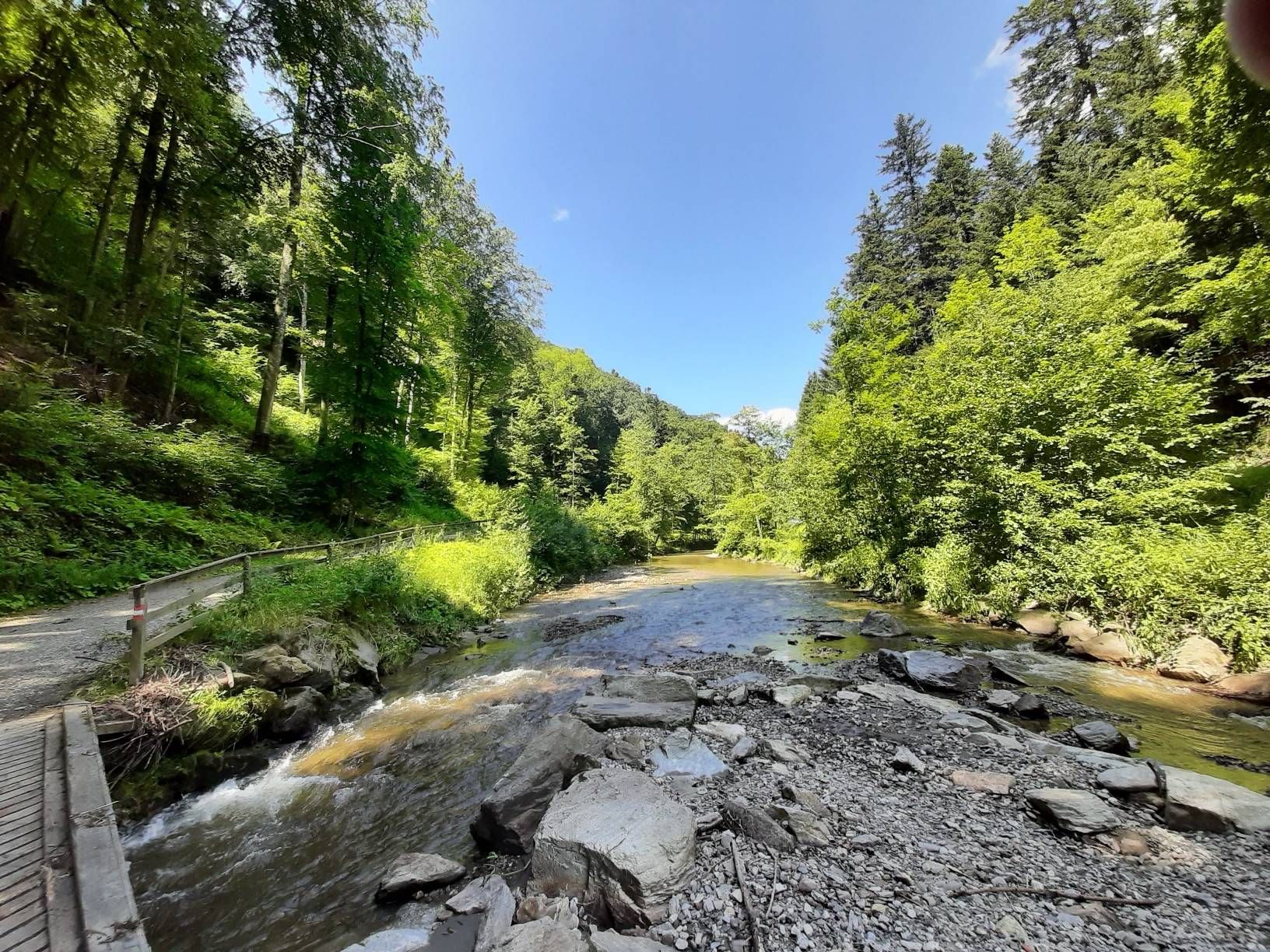
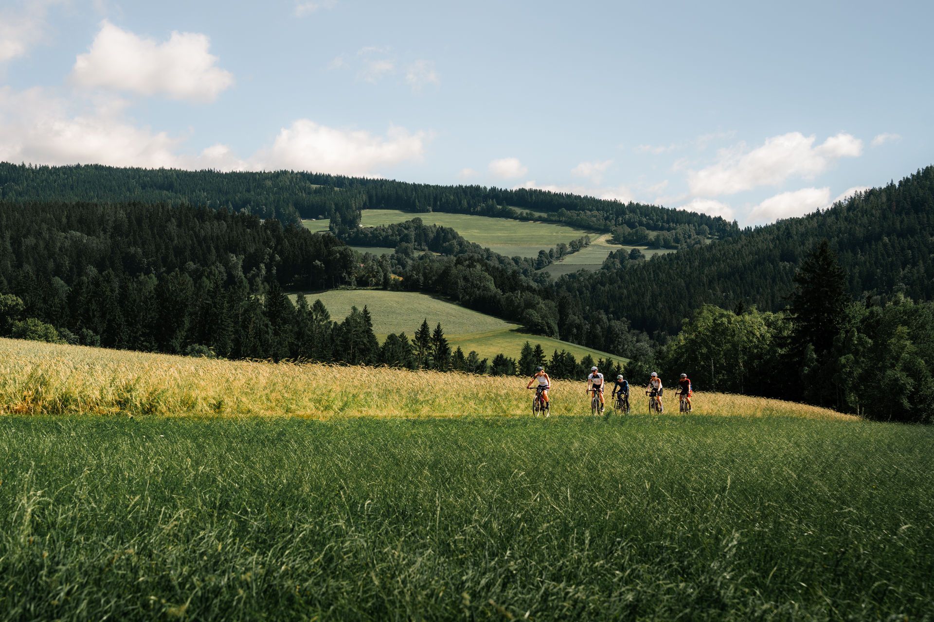


Tips from the Community

A great forest trail leads from there.
0
0

the last few meters up to the lookout point...the efforts are rewarded with a beautiful panorama
0
0
a great observation tower on the Kleeberg; from here you have a great view
0
0

The observation tower on Kleeberg has over 140 steps, which stands out due to its striking shape and architecture (and somehow doesn't fit into the landscape at all). There is a turnstile in front of the first steps. In my case it was open in winter (despite a thin layer of snow on the steps and platforms). Surface made of tear-plate (wasn't slippery today), on some platforms there are glass walls that provide a bit of protection from the wind. On a clear day you can see from Geschreibenstein in Burgenland to Slovenia and also many Styrian and Carinthian mountains.
1
0


Very nice viewing platform with panorama benches and parking lot nearby.
0
1
Potatoes don't have to travel far. Here you can buy some on the way to self-service.
0
0
Great views all around, benches to take a break and even a drinking water tap to fill up the drinking bottles!
1
0
Frequently Asked Questions
How many bus station hiking trails are available around Gleisdorf?
There are over 35 hiking trails accessible directly from bus stations around Gleisdorf. These routes cater to various preferences, with 19 easy and 16 moderate options.
What is the best time of year to go hiking from Gleisdorf's bus stations?
The ideal time for hiking around Gleisdorf is typically from spring to autumn, specifically between May and October. During these months, the weather is generally pleasant, making for enjoyable conditions to explore the region's diverse landscapes of forests, meadows, and vineyards.
Are there any easy, family-friendly hikes accessible by bus in Gleisdorf?
Yes, there are several easy routes perfect for families. A great option is the Farm Shop With Rest Area loop from Katastralgemeinde Gleisdorf. This easy 6.9 km trail takes approximately 1 hour 55 minutes and features minimal elevation gain, making it suitable for all ages.
Which bus station hikes offer the best scenic viewpoints in Gleisdorf?
For breathtaking panoramic views, consider the Kleeberg Observation Tower – Europaberg loop from Gleisdorf. This moderate 13.7 km route leads you to the Kleeberg Observation Tower, offering expansive vistas from Burgenland to Slovenia, and the Europaberg Viewing Platform with views over Gleisdorf and the Almenland.
Are there any circular hiking routes starting from Gleisdorf bus stations?
Many of the trails are circular, allowing you to return to your starting point without retracing your steps. For example, the Kleeberg Observation Tower – Europaberg loop from Gleisdorf is a popular moderate circular route that showcases the region's natural beauty.
Can I find hikes that pass by interesting landmarks or attractions?
Absolutely! Many routes incorporate local points of interest. The Kleeberg Observation Tower – Europaberg loop from Gleisdorf takes you past the prominent Kleeberg Observation Tower and the Europaberg Viewing Platform. You might also encounter historic sites like Freiberg Castle or explore trails winding through vineyards, especially on themed hikes like the Buschenschank trails.
Are there any bus station hikes that include stops for refreshments or local food?
Yes, the region is known for its 'Buschenschanken' – traditional taverns serving local food and wine. While not explicitly listed in the routes provided, many trails, particularly those winding through vineyards north of Gleisdorf, offer opportunities to stop at these charming eateries. The Farm Shop With Rest Area – wave pool loop from Gleisdorf also suggests a stop for refreshments.
What kind of terrain can I expect on bus station hikes around Gleisdorf?
The terrain around Gleisdorf is characterized by picturesque rolling hills, lush landscapes, and river valleys. You can expect a mix of forest paths, open meadows, fruit orchards, and some routes that traverse vineyards. Trails are generally well-maintained and suitable for various fitness levels, with most being easy to moderate.
Are there any hikes near Gleisdorf bus stations that are less crowded?
While popular spots like the Kleeberg Observation Tower can attract visitors, many of the 35 available routes offer a chance to enjoy nature in relative tranquility. Exploring some of the lesser-known easy trails, such as the Dam near Kainbach loop from Ungerdorf, especially during off-peak hours or weekdays, can provide a more serene experience.
What do other hikers enjoy most about the bus station trails in Gleisdorf?
The komoot community highly rates the hiking experience around Gleisdorf, with an average score of 4.56 stars from over 720 ratings. Hikers often praise the diverse and accessible landscapes, the well-marked paths, and the rewarding views from spots like the Kleeberg Observation Tower and Europaberg Viewing Platform. The convenience of starting directly from bus stations is also a frequently appreciated aspect.
Are there any hikes that pass by lakes or water features?
Yes, some routes offer views of local water bodies. While not directly on the provided routes, the region features several lakes and ponds. For example, the Kneipp Trail with Pond Landscape is a highlight in the area, and the Farm Shop With Rest Area – wave pool loop from Gleisdorf hints at water features along its path.
Most popular routes around Gleisdorf
Most popular attractions around Gleisdorf

Get inspired with the komoot mobile app


Explore more
Browse the best Hikes in other regions.
