The best city hikes and walks around Gleisdorf
4.5
(792)
4,343
hikers
5
hikes
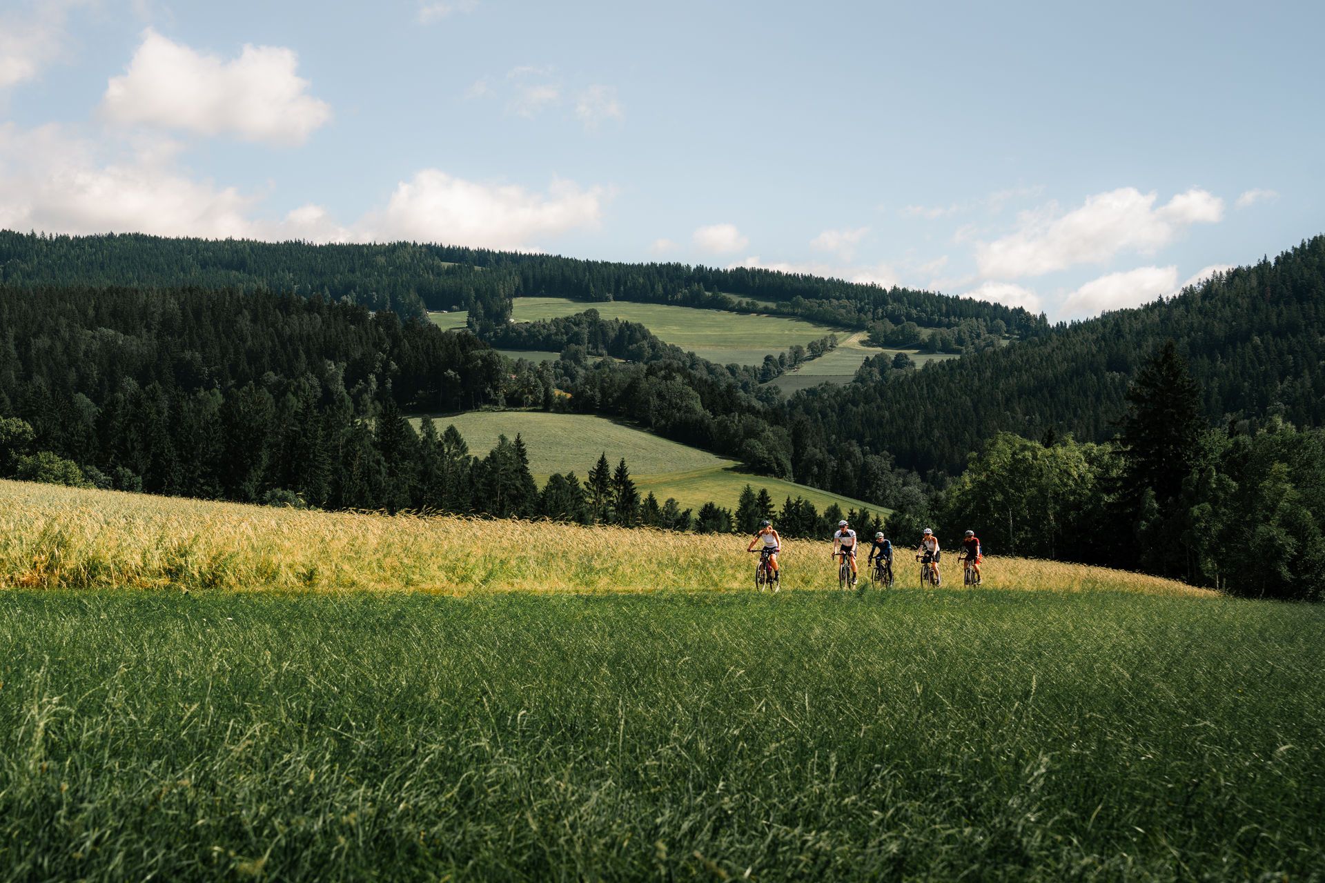
Urban hiking trails around Gleisdorf are set amidst the rolling hills of Eastern Styria, offering a varied natural environment. The region is characterized by the Raab Valley, through which the Raab river flows, alongside serene forests, expansive meadows, and lush orchards. Some paths also traverse vineyards located north of the city, providing diverse scenery for walkers.
Best urban hiking trails around Gleisdorf
- The most popular urban hiking route is Dam near Kainbach – MIR Museum loop from Gleisdorf, a 4.3 miles (7.0 km) trail that takes 1 hour 47 minutes to complete. This route offers a pleasant walk near the Kainbach dam and includes a point of interest at the MIR Museum.
- Another top favourite among local hikers is Dam near Kainbach loop from Gleisdorf West, an easy 2.6 miles (4.2 km) path. This trail provides a concise loop around the dam, suitable for a shorter outing.
- Local hikers also love the Dam near Kainbach – Laurenzi Brewery loop from Gleisdorf, a 3.8 miles (6.1 km) trail leading through local landscapes, often completed in about 1 hour 34 minutes.
- Hiking around Gleisdorf is defined by rolling hills, the Raab Valley, forests, and meadows. The network offers options primarily for easy walks, suitable for various fitness levels.
- The routes in Gleisdorf are highly rated by the komoot community with an average score of 4.7 stars from more than 100 reviews. More than 1000 hikers have used komoot to explore Gleisdorf's varied terrain.
Last updated: July 10, 2026
11
hikers
6.96km
01:47
30m
30m
Easy hike. Great for any fitness level. Easily-accessible paths. Suitable for all skill levels.
7
hikers
4.23km
01:05
10m
10m
Easy hike. Great for any fitness level. Easily-accessible paths. Suitable for all skill levels.

Sign up for free
3
hikers
6.12km
01:35
30m
30m
Easy hike. Great for any fitness level. Easily-accessible paths. Suitable for all skill levels.
3
hikers
4.96km
01:16
10m
10m
Easy hike. Great for any fitness level. Easily-accessible paths. Suitable for all skill levels.
2
hikers
3.82km
00:58
10m
10m
Easy hike. Great for any fitness level. Easily-accessible paths. Suitable for all skill levels.
Our route recommendations are based on thousands of hikes, rides, and runs completed by other people on komoot.
Start today with a free account
Your next adventure awaits.
Login or Signup


Tips from the Community

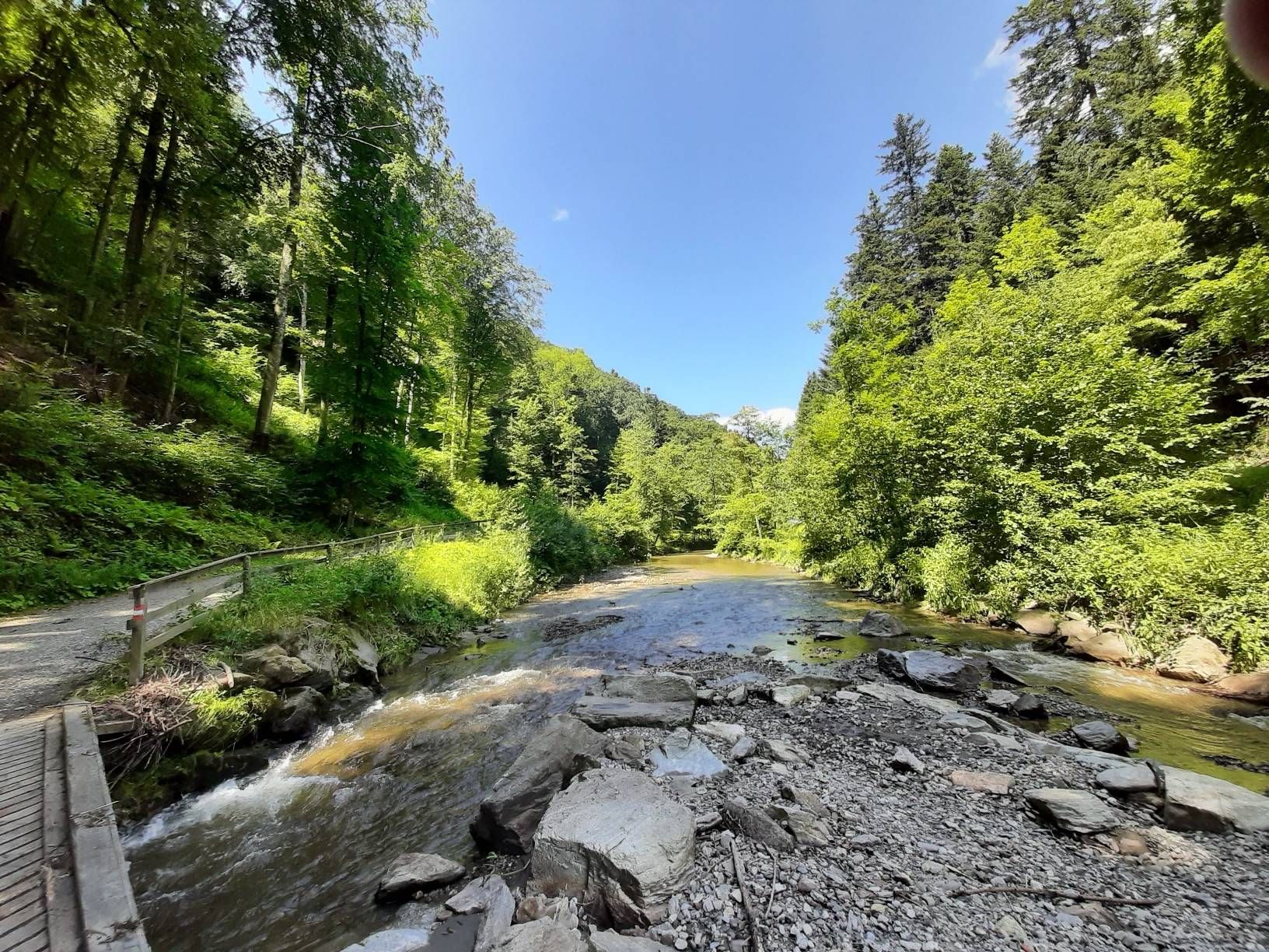
Great place below a dam! There are super flat stones to flip!
0
0

Traditional brewing is very important here. All beers are unfiltered and unpasteurized. True to the motto "Honestly wonderful", you can even get a glimpse behind the scenes: Guided tours and tastings are the best way to get in touch (+43 3112 36795). More information: https://www.laurenzibraeu.at
0
0

Art and culture with special exhibitions for children and adolescents in the town hall of Gleisdorf.
0
0
Frequently Asked Questions
How many urban hiking trails are available around Gleisdorf?
There are 6 easy urban hiking trails around Gleisdorf, perfect for exploring the town and its immediate surroundings. These routes are generally flat and suitable for all fitness levels.
What kind of terrain can I expect on urban hikes in Gleisdorf?
Urban hikes in Gleisdorf typically feature gentle terrain with minimal elevation changes. You'll find paths winding through the town, along the Raab river, and into nearby green spaces, offering a mix of paved and natural surfaces. The region is characterized by rolling hills, but the urban routes focus on accessible, flatter sections.
Are there any viewpoints or landmarks to see on these urban trails?
While the urban trails focus on the town's immediate vicinity, you can still enjoy scenic spots. The broader Gleisdorf area is known for viewpoints like the Europaberg Viewing Platform, offering vistas over Gleisdorf and the surrounding landscape. For a more distant panoramic view, the Kleeberg Observation Tower is a regional highlight, though it may require a slight detour from purely urban paths.
Are the urban hiking trails in Gleisdorf suitable for families with children?
Yes, the urban hiking trails around Gleisdorf are generally very family-friendly. All 6 routes are rated as easy, with short distances and minimal elevation, making them ideal for walks with children. For example, the Dam near Kainbach loop from Gleisdorf is just under 4 km, perfect for a leisurely family outing.
Can I bring my dog on the urban hikes in Gleisdorf?
Most urban trails in Gleisdorf are dog-friendly, allowing you to enjoy a walk with your canine companion. Always keep your dog on a leash, especially in populated areas or near wildlife, and remember to clean up after them. The paths along the Raab river offer pleasant stretches for dogs.
What is the typical duration of an urban hike in Gleisdorf?
The urban hikes in Gleisdorf vary in length, but most can be completed within 1 to 2 hours. For instance, the Dam near Kainbach loop from Gleisdorf West takes approximately 1 hour and 5 minutes, while the longer Dam near Kainbach – MIR Museum loop from Gleisdorf can take around 1 hour and 45 minutes.
Are there any circular urban hiking routes in Gleisdorf?
Yes, all the urban hiking routes listed for Gleisdorf are circular, meaning you'll start and end at the same point. This makes planning your walk convenient, as you won't need to arrange transportation back to your starting location. An example is the Dam near Kainbach loop from Gleisdorf.
What do other hikers enjoy most about urban hiking in Gleisdorf?
The urban hiking experience in Gleisdorf is highly rated by the komoot community, with an average score of 4.66 stars. Reviewers often praise the easy accessibility of the trails, the pleasant mix of town and nature, and the well-maintained paths that make for a relaxing walk.
Are there places to stop for refreshments along the urban trails?
Gleisdorf, being an urban center, offers various opportunities for refreshments. Many routes pass through or near the town center where you can find cafes, restaurants, and traditional 'Buschenschank' (wine taverns) to enjoy local cuisine and regional wines. The Dam near Kainbach – Laurenzi Brewery loop from Gleisdorf, for example, offers a chance to explore local establishments.
What is the best season for urban hiking in Gleisdorf?
Urban hiking in Gleisdorf is enjoyable throughout the year. Spring brings blooming orchards and meadows, while summer offers warm, sunny days. Autumn showcases beautiful foliage in the surrounding hills and vineyards. Even in winter, the low elevation and well-maintained paths make for pleasant walks, especially on clear days.
Is parking available for urban hikes in Gleisdorf?
As Gleisdorf is a town, parking facilities are generally available. You can find public parking areas within the town center or near the starting points of many urban trails. It's advisable to check local signage for specific parking regulations and fees.
Most popular routes around Gleisdorf
Most popular attractions around Gleisdorf

Get inspired with the komoot mobile app


Explore more
Browse the best Hikes in other regions.
