The best running trails around Valdieri
4.5
(11)
1,148
runners
24
runs
Jogging routes around Valdieri are set within the Alpi Marittime Natural Park, offering diverse landscapes for active exploration. The region features the dramatic scenery of the Maritime Alps, including peaks and over 80 glacial alpine lakes. Runners encounter varied terrains, from ancient mule tracks and paths through conifer woodlands to former military roads. The Gesso Valley and the serene Valasco Plateau are significant natural features, enhancing the outdoor environment.
Best jogging routes in Valdieri
- The most popular jogging route is…
Last updated: October 8, 2026
35
runners
26.2km
04:22
1,340m
1,340m
Hard run. Very good fitness required. Sure-footedness, sturdy shoes and alpine experience required.
22
runners
24.1km
04:23
1,420m
1,420m
Hard run. Very good fitness required. Sure-footedness, sturdy shoes and alpine experience required.

21
runners
21.9km
04:28
1,730m
1,730m
Hard run. Very good fitness required. Sure-footedness, sturdy shoes and alpine experience required.
22
runners
7.53km
01:43
860m
860m
Hard run. Very good fitness required. Mostly paved surfaces. Suitable for all skill levels.
23
runners
7.94km
00:57
90m
90m
Moderate run. Good fitness required. Mostly paved surfaces. Suitable for all skill levels.
Get access to more routes and recommendations from other explorers.
Already have an account?
Our route recommendations are based on thousands of hikes, rides, and runs completed by other people on komoot.
Start today with a free account
Your next adventure awaits.
Popular around Valdieri
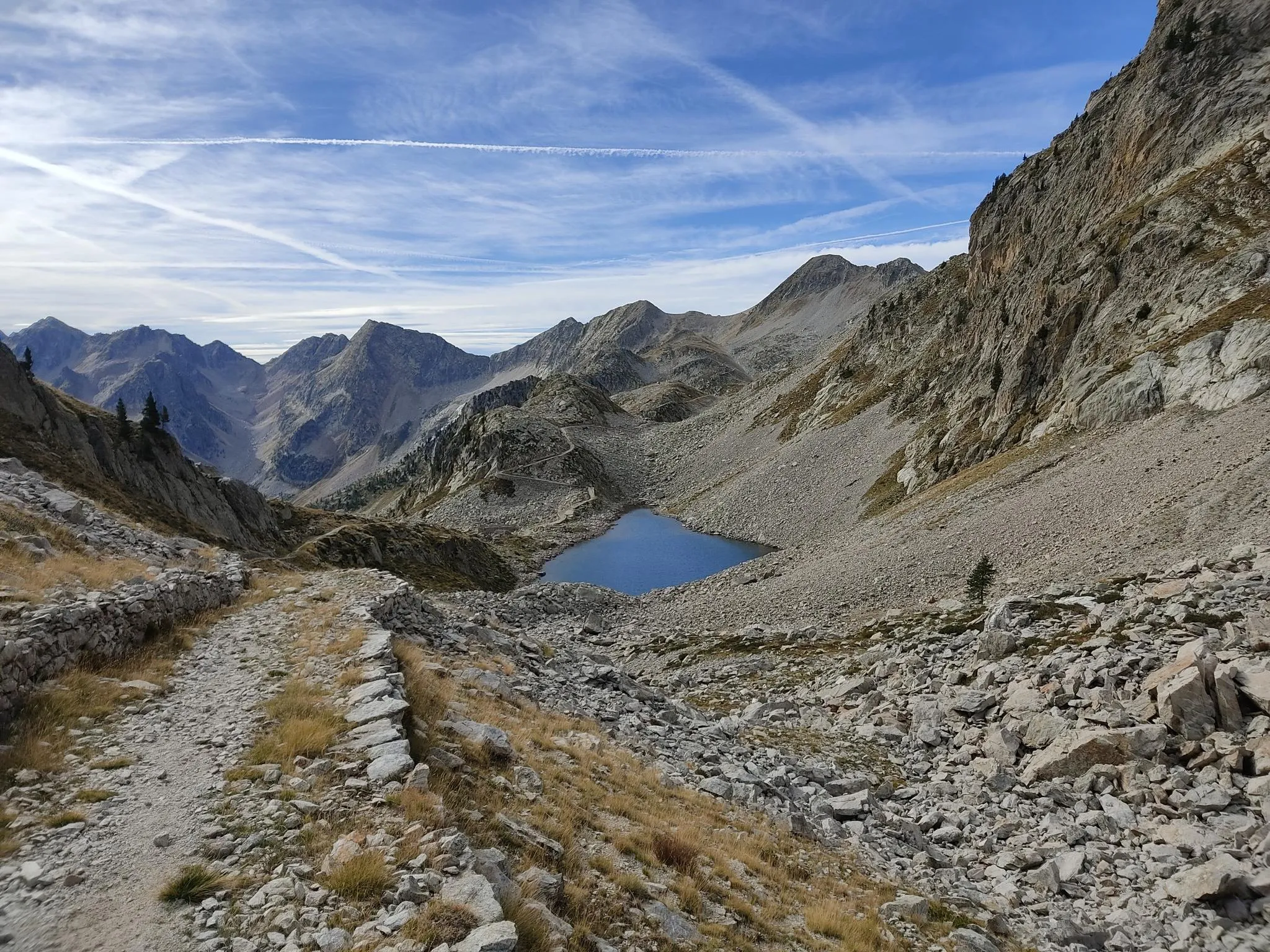
Through the crystalline Argentera massif – Italy’s Alta Via dei Re

GTA South Piedmont — Hiking in Italy's Occitan valleys
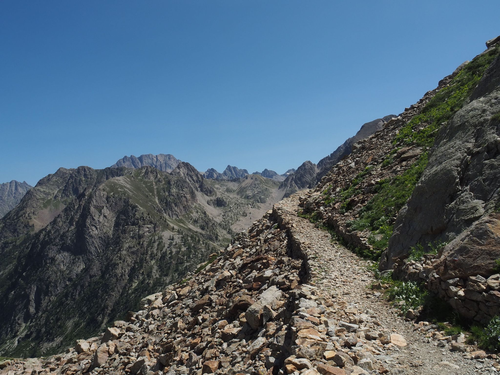
Alta Via dei Re – a fairytale crossing in Italy's Maritime Alps
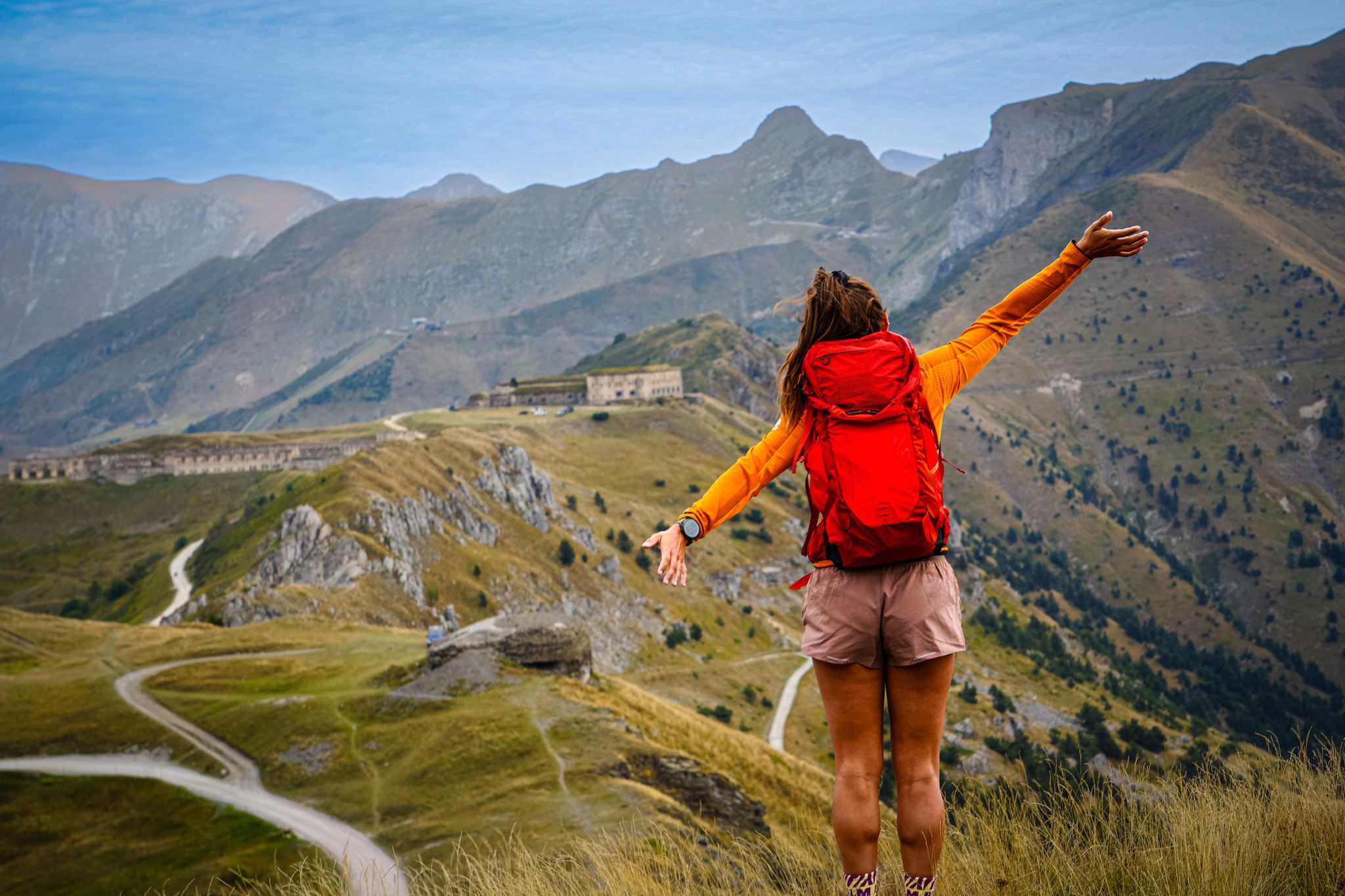
RivierALP – great hikes between the Alps and the Mediterranean
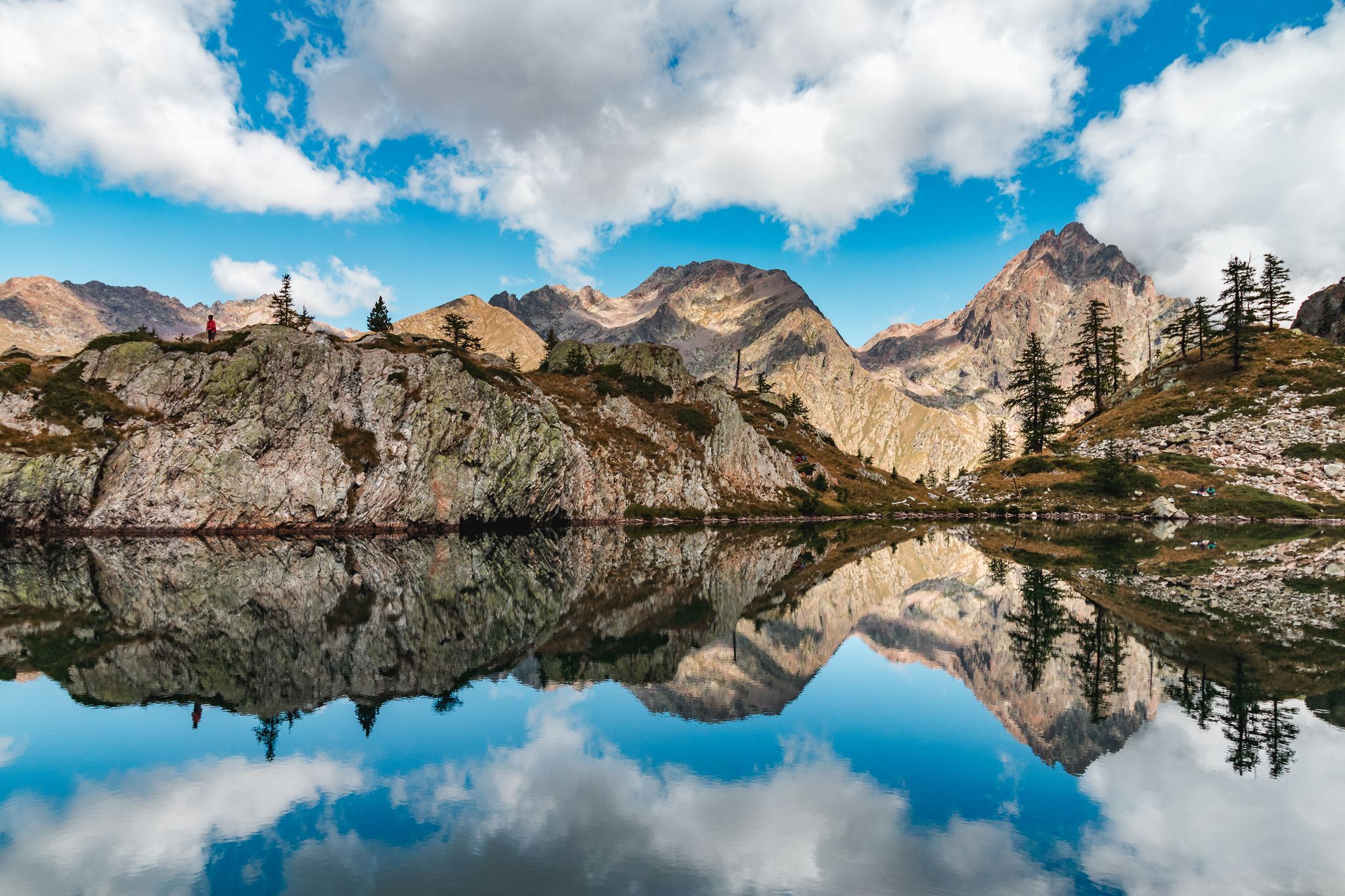
Exploring 11 lakes — 5 hikes in Italy’s Alpi Marittime Nature Park
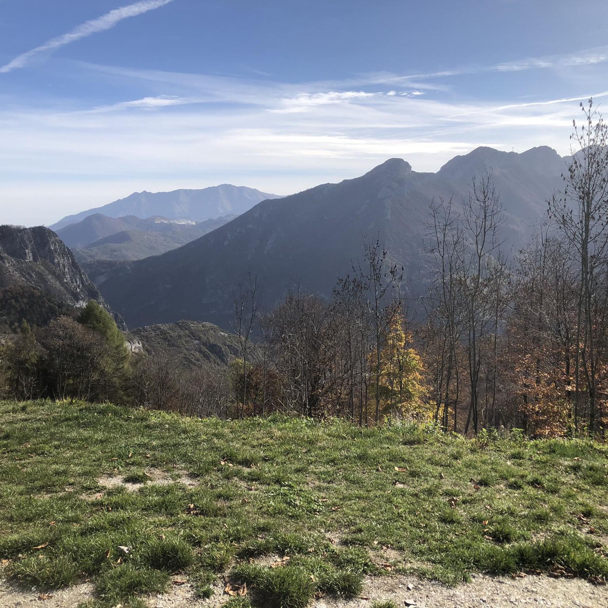
Hiking around Valdieri
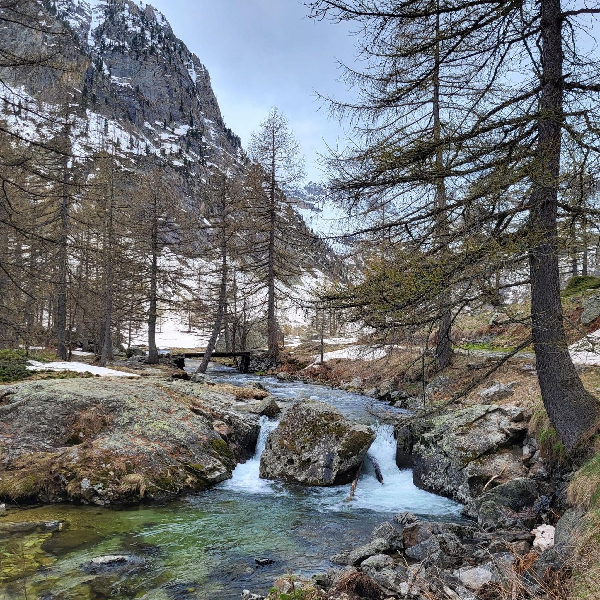
Road Cycling Routes around Valdieri
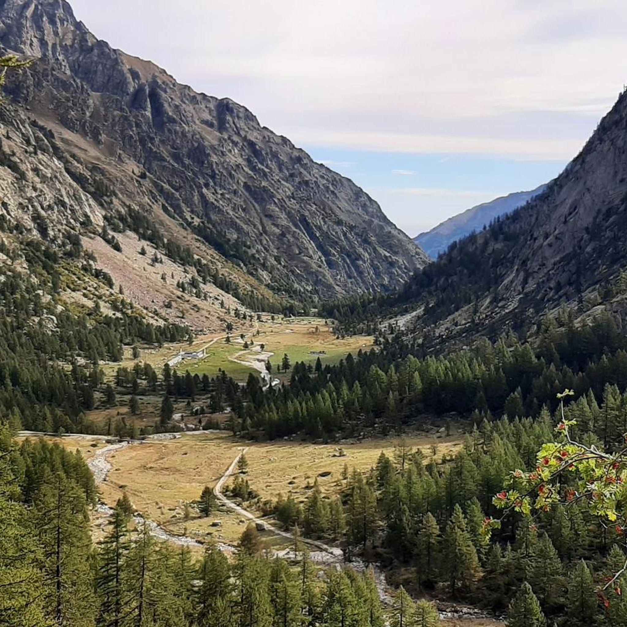
MTB Trails around Valdieri

Gravel biking around Valdieri
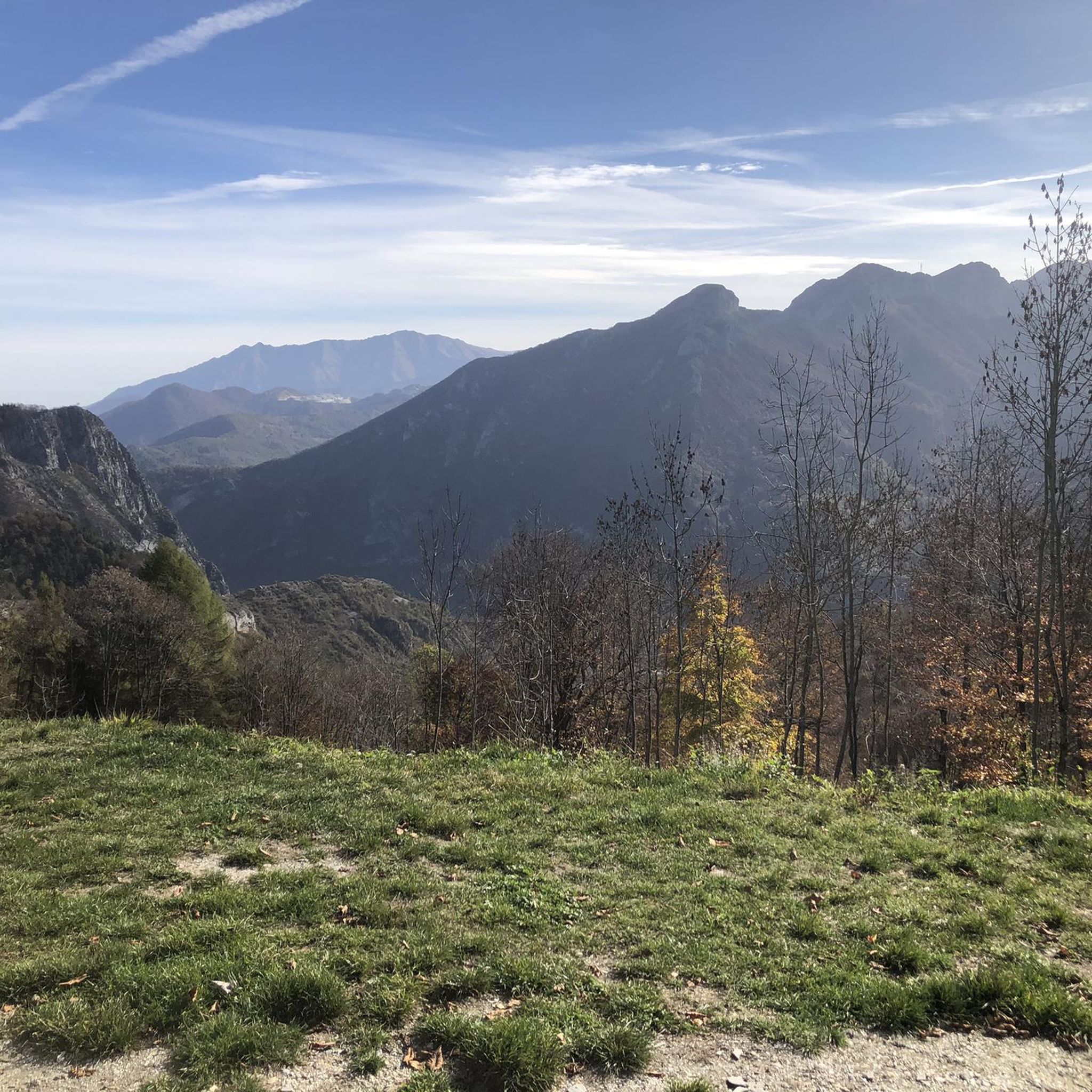
Cycling around Valdieri
Other adventures around Valdieri


Tips from the Community

simple route with a wonderful view of the Pian del Valasco
0
0

Tunnels and galleries dug by underground springs
0
0

https://youtu.be/hC4eceIyyMw?si=515BXh8fRIHsMTkt The climb to Valasco by mountain bike is arduous, not because it's steep, but because the otherwise wide path was built with large stones.
1
0
https://youtu.be/hC4eceIyyMw?si=515BXh8fRIHsMTkt Nice, but the question is whether it's worth walking all the way up for this.
0
0
At least the path along it is beautiful, even if everything is cordoned off.
0
0


Frequently Asked Questions
How many running routes are available in Valdieri?
Valdieri offers a substantial network for runners, with over 25 dedicated running routes documented on komoot. These trails are primarily challenging, designed to immerse you in the stunning alpine environment of the Alpi Marittime Natural Park.
Are there any easy jogging routes in Valdieri suitable for beginners or a relaxed pace?
While most routes in Valdieri are rated as difficult due to the mountainous terrain, there is one moderate route available. For a more relaxed experience, the Sentiero delle Farfalle (Butterfly Trail) at the foot of the Riserva Naturale di Rocca San Giovanni-Saben is ideal for lighter jogging or walking, offering a chance to spot rare butterflies. The Valderia Botanical Garden in Terme di Valdieri also features a nature trail suitable for a scenic and educational run.
What kind of terrain can I expect on the running trails around Valdieri?
Runners in Valdieri will encounter a diverse range of terrains. These include ancient, often paved mule tracks, paths winding through conifer woodlands, and former military roads. This variety provides experiences from technical climbs to more gentle slopes, all set against the dramatic backdrop of the Maritime Alps.
Are there any circular running routes in Valdieri?
Yes, many of the running routes in Valdieri are designed as loops, allowing you to start and finish in the same location. For example, you can explore the challenging Lago del Claus – Rifugio Valasco loop from Frazione Forani, or the scenic Valasco Plateau – Valasco Hut loop from Terme di Valdieri, both offering incredible alpine views.
What natural features or attractions can I see while running in Valdieri?
Valdieri's routes are rich with natural beauty. You can expect to see over 80 glacial alpine lakes, dramatic peaks of the Maritime Alps, and the serene Piana del Valasco. Specific highlights include the Lago della Rovina, Lower Valscura Lake, and the natural thermal springs in Terme di Valdieri. The region also boasts diverse wildlife, such as ibex, chamois, and marmots.
Are there any waterfalls along the running routes in Valdieri?
Yes, the region is known for its beautiful alpine scenery, including waterfalls. The Giro del Valasco route, which passes through the Piana del Valasco, leads to the Piano Superiore del Valasco where runners can admire stunning waterfalls, enhancing the natural immersion of your run.
What do other runners say about the trails in Valdieri?
The running trails in Valdieri are highly rated by the komoot community, with an average score of 4.3 stars from over 10 reviews. Reviewers often praise the challenging yet rewarding alpine terrain, the breathtaking views of glacial lakes and mountains, and the well-maintained paths that offer a unique blend of natural beauty and historical significance.
Are there any historical sites or points of interest along the running trails?
Valdieri has a rich history, particularly as a former Royal Hunting Reserve for the kings of the House of Savoy. Many trails, including sections of the Giro del Valasco, follow these 'Royal Roads' and former military tracks. The Casa di Caccia, a former royal hunting lodge now serving as a refuge, is a notable historical point along some routes.
Can I find information about the Valdieri region beyond just running routes?
Yes, for broader information about Valdieri and the Gesso Valley, you can visit the official tourism website. For example, you can learn more about the area at Valdieri at the foot of the Gesso Valley or explore the wider Valle Gesso.
Are there any caves or unique geological features to explore near the running trails?
Yes, the Valdieri area is home to interesting cave systems. You can find highlights such as the Riserva Naturale delle Grotte del Bandito and the Dragon's Breath Cave Entrance. These offer a unique geological perspective and can be explored as part of a longer day out in the region.
What is the typical duration for a running route in Valdieri?
The duration of running routes in Valdieri varies significantly based on difficulty and length. For instance, a challenging route like the Lagarot di Lourousa – Rifugio Morelli Buzzi loop can take around 3 hours and 35 minutes, while a slightly shorter but still difficult one like the Rifugio Franco Remondino loop might take about 2 hours and 23 minutes. Always check the route details for estimated completion times.
Are there opportunities for multi-day running adventures in Valdieri?
Absolutely. The Alpi Marittime Natural Park, where Valdieri is located, boasts 400 kilometers of trails connecting to ten alpine refuges and seven bivouac shelters. This extensive network facilitates longer runs and multi-day adventures, allowing you to explore more of the stunning high-alpine environment.
Most popular routes around Valdieri
Most popular attractions around Valdieri

Get inspired with the komoot mobile app


Explore more
Browse the best Running Trails & Routes in other regions.
