The best road cycling routes in South Australia
4.5
(63)
11,198
riders
401
rides
Road cycling routes in South Australia traverse diverse landscapes, from the coastal plains and urban river corridors to the rolling hills and vineyards of the Adelaide Hills. The region features extensive trail networks through renowned wine regions like the Barossa and Clare Valley, offering varied gradients. Cyclists can experience both flat, scenic paths along the coast and challenging ascents in the Mount Lofty Ranges.
Best road cycling routes in South Australia
- The most popular road cycling route is Semaphore – Port Adelaide Industrial Area loop from Goodwood, a 38.9 miles (62.6 km) trail that takes 2 hours 35 minutes to complete, offering views of the coastline and industrial heritage.
- Another top favourite among local road cyclists is Old Freeway Bike Path – Mount Lofty Summit Viewpoint loop from Mitcham, a difficult 42.2 miles (67.9 km) path. This route features significant elevation gain, leading to panoramic city views from Mount Lofty Summit.
- Local road cyclists also love the Norton Summit Climb – Uraidla Republic Café & Bakery loop from Adelaide, a 31.7 miles (51.0 km) trail leading through the Adelaide Hills, often completed in about 2 hours 34 minutes.
- Road cycling in South Australia is defined by coastal paths, vineyard trails, and the challenging ascents of the Adelaide Hills. The network offers options for different ability levels, from easy urban rides to difficult mountain climbs.
- The routes in South Australia are highly rated by the komoot community with an average score of 4.6 stars from over 70 reviews. More than 12,000 road cyclists have used komoot to explore South Australia's varied terrain.
Last updated: October 20, 2026
347
riders
Moderate road ride. Good fitness required. Mostly well-paved surfaces and easy to ride.
5.0
(3)
195
riders
Moderate road ride. Good fitness required. Mostly well-paved surfaces and easy to ride.

5.0
(3)
258
riders
51.9km
02:36
820m
820m
Moderate road ride. Good fitness required. Mostly well-paved surfaces and easy to ride.
5.0
(1)
315
riders
79.3km
04:05
1,260m
1,260m
Hard road ride. Very good fitness required. Mostly well-paved surfaces and easy to ride.
5.0
(2)
305
riders
64.2km
03:32
1,250m
1,250m
Hard road ride. Very good fitness required. Mostly well-paved surfaces and easy to ride.
5.0
(4)
257
riders
Hard road ride. Very good fitness required. Mostly well-paved surfaces and easy to ride.
267
riders
Moderate road ride. Good fitness required. Mostly well-paved surfaces and easy to ride.
4.0
(1)
243
riders
32.7km
01:40
490m
490m
Moderate road ride. Good fitness required. Mostly well-paved surfaces and easy to ride.
244
riders
44.3km
01:55
110m
110m
Easy road ride. Great for any fitness level. Mostly well-paved surfaces and easy to ride.
224
riders
Hard road ride. Very good fitness required. Mostly well-paved surfaces and easy to ride.
Get access to more routes and recommendations from other explorers.
Already have an account?
Our route recommendations are based on thousands of hikes, rides, and runs completed by other people on komoot.
Start today with a free account
Your next adventure awaits.
Popular around South Australia
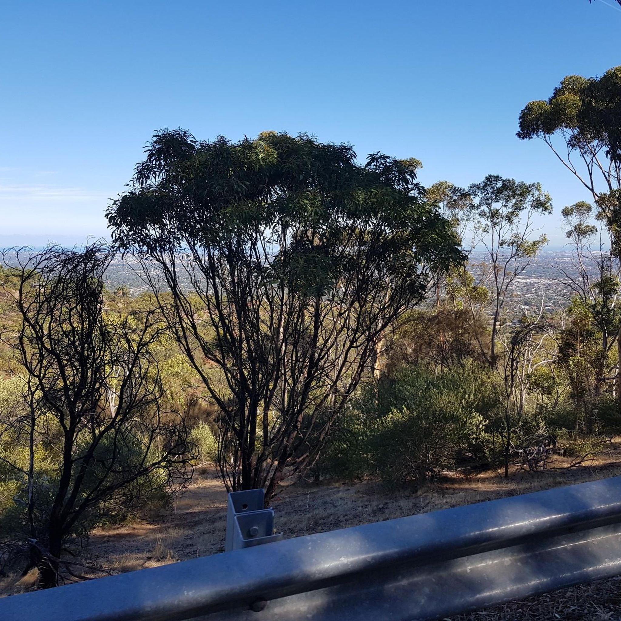
Road Cycling Routes in Morialta Conservation Park
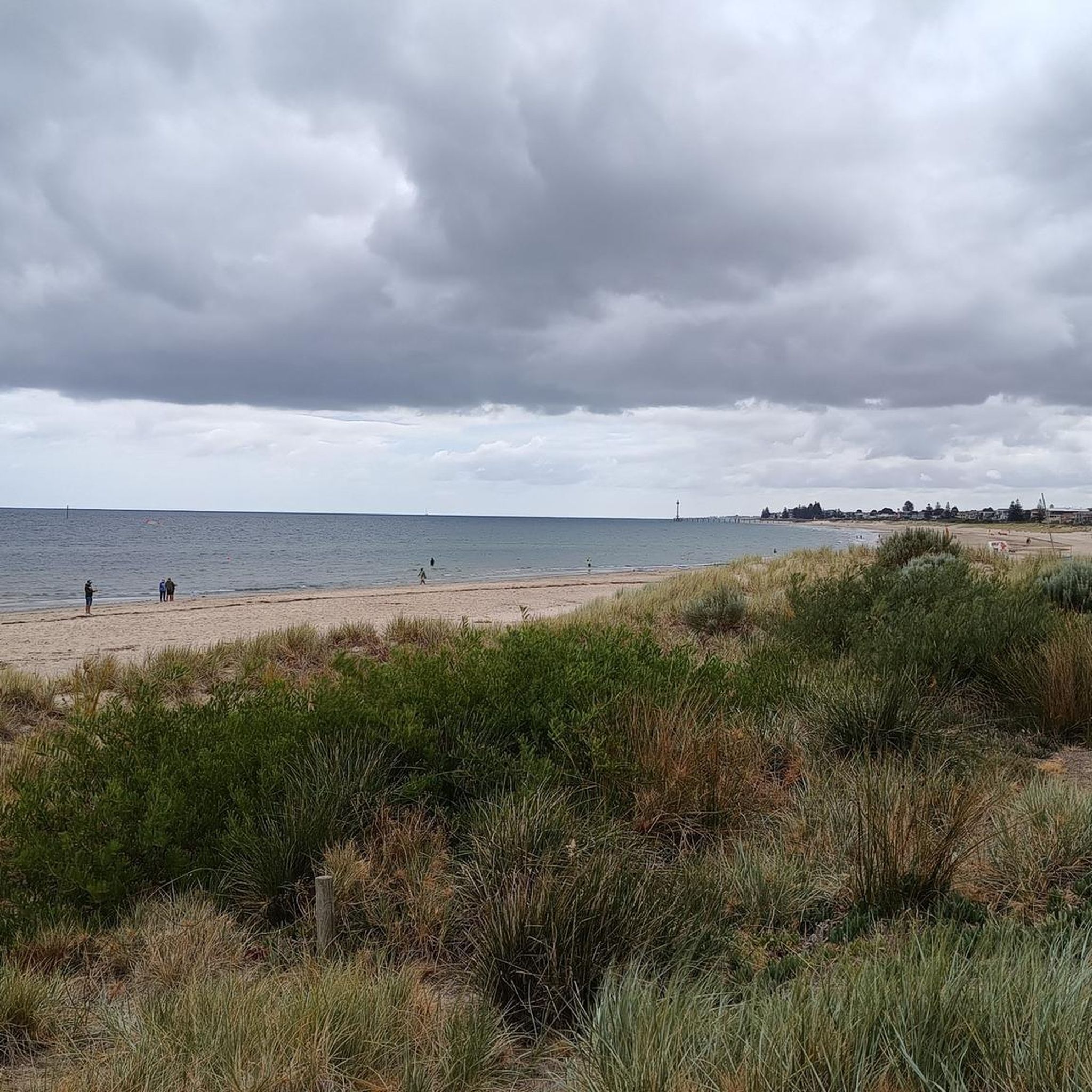
Road Cycling Routes in O'Halloran Hill Recreation Park (Iucn Cat Iii Parts)
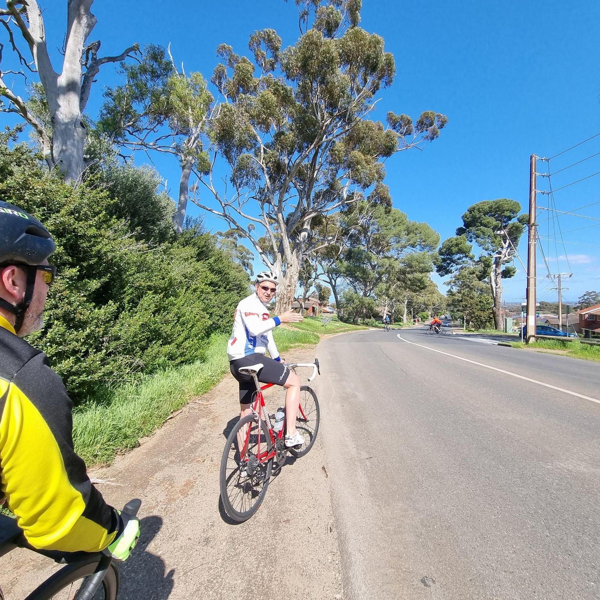
Road Cycling Routes in Black Hill Conservation Park
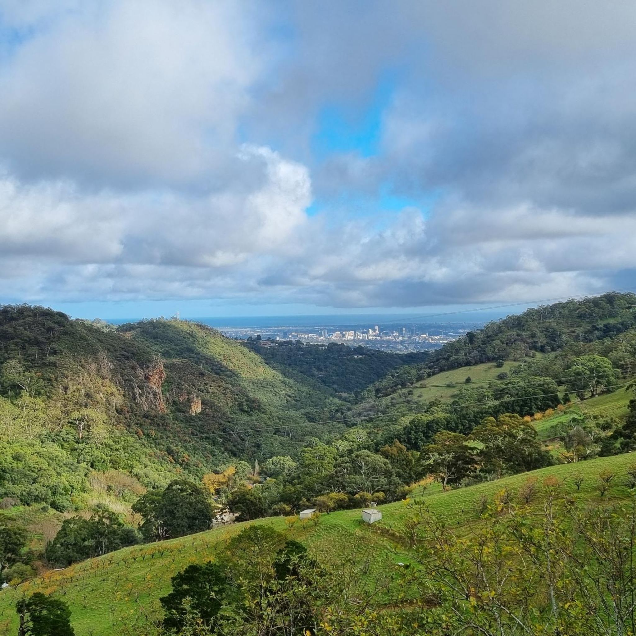
Road Cycling Routes in Montacute Conservation Park
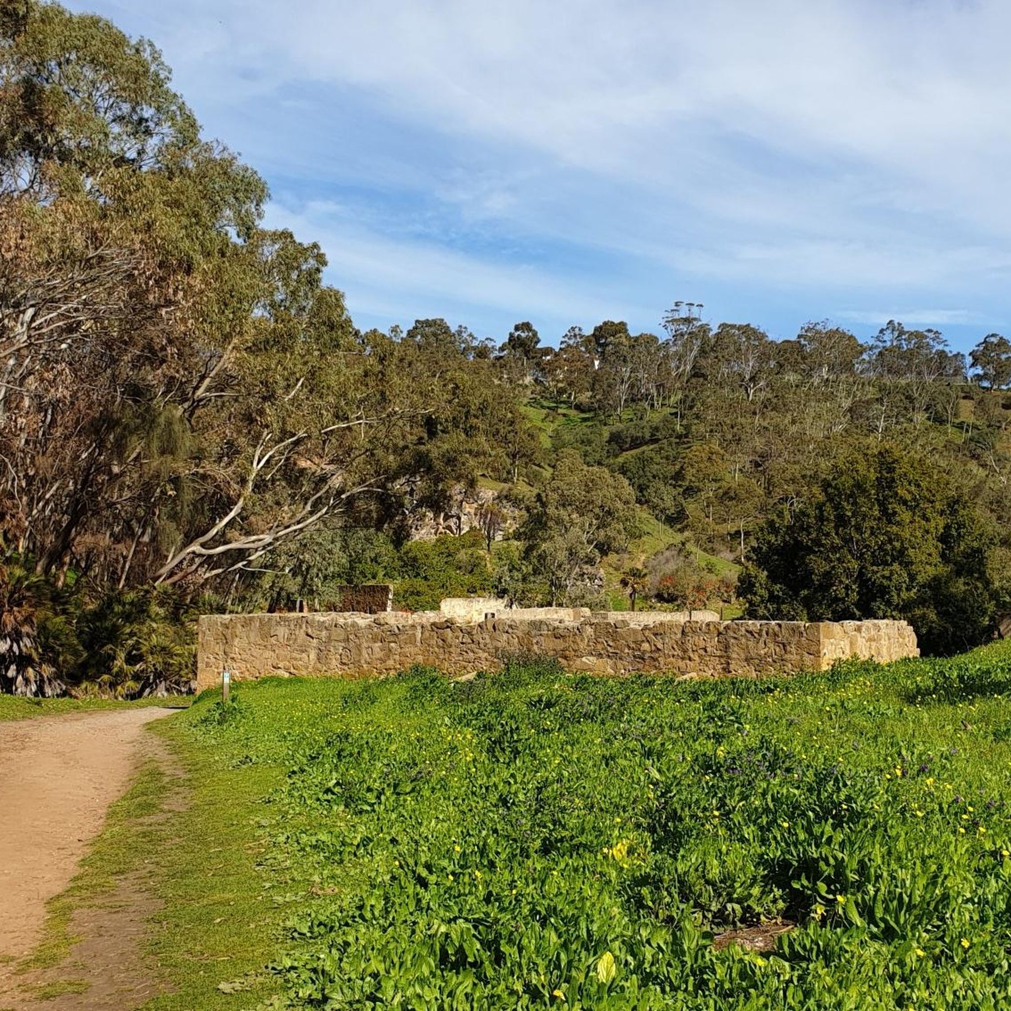
Road Cycling Routes in Barker Inlet-St Kilda Aquatic Reserve
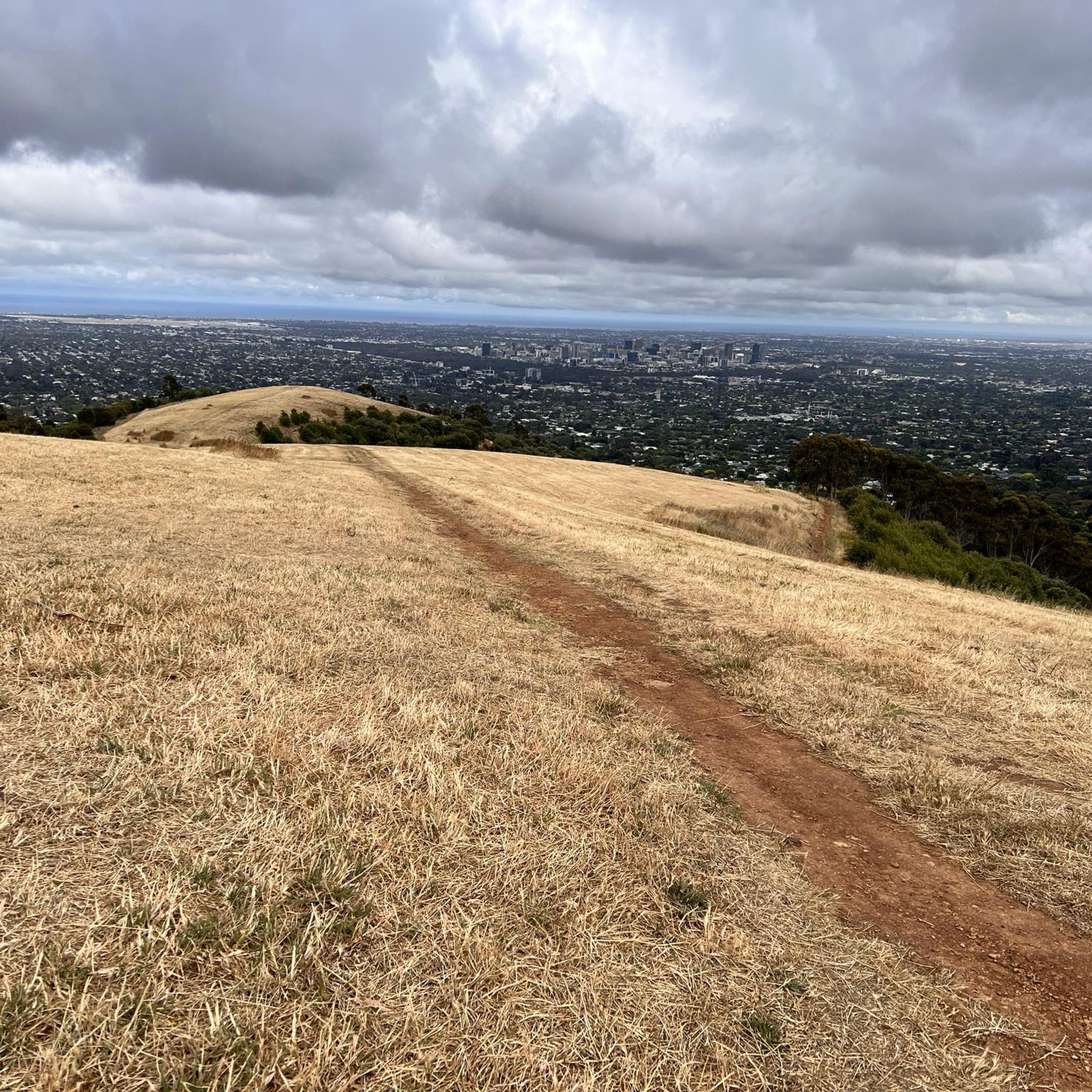
Road Cycling Routes in Torrens Island Conservation Park
Road Cycling Routes in O'Halloran Hill Recreation Park
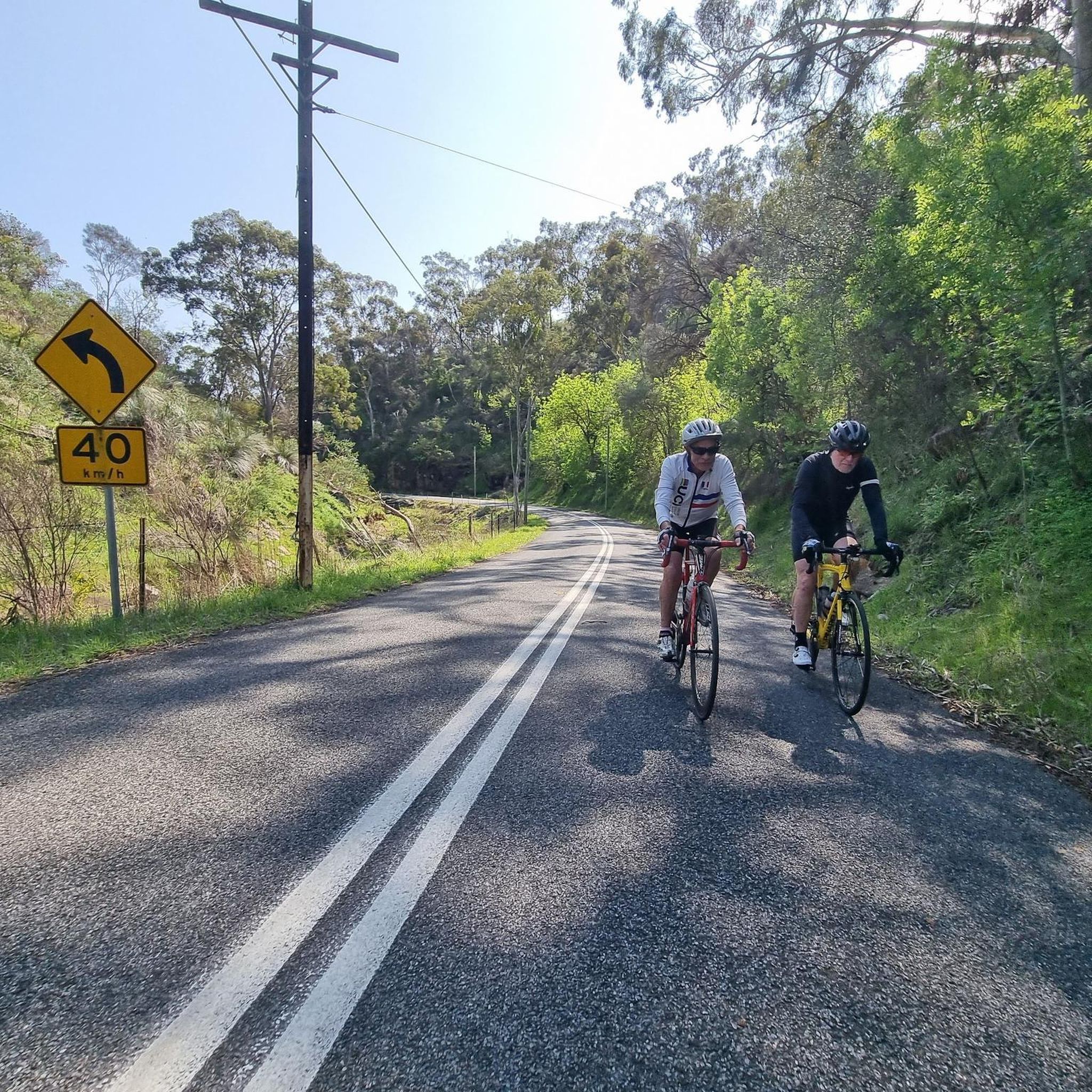
Road Cycling Routes in Eucalypt Forest
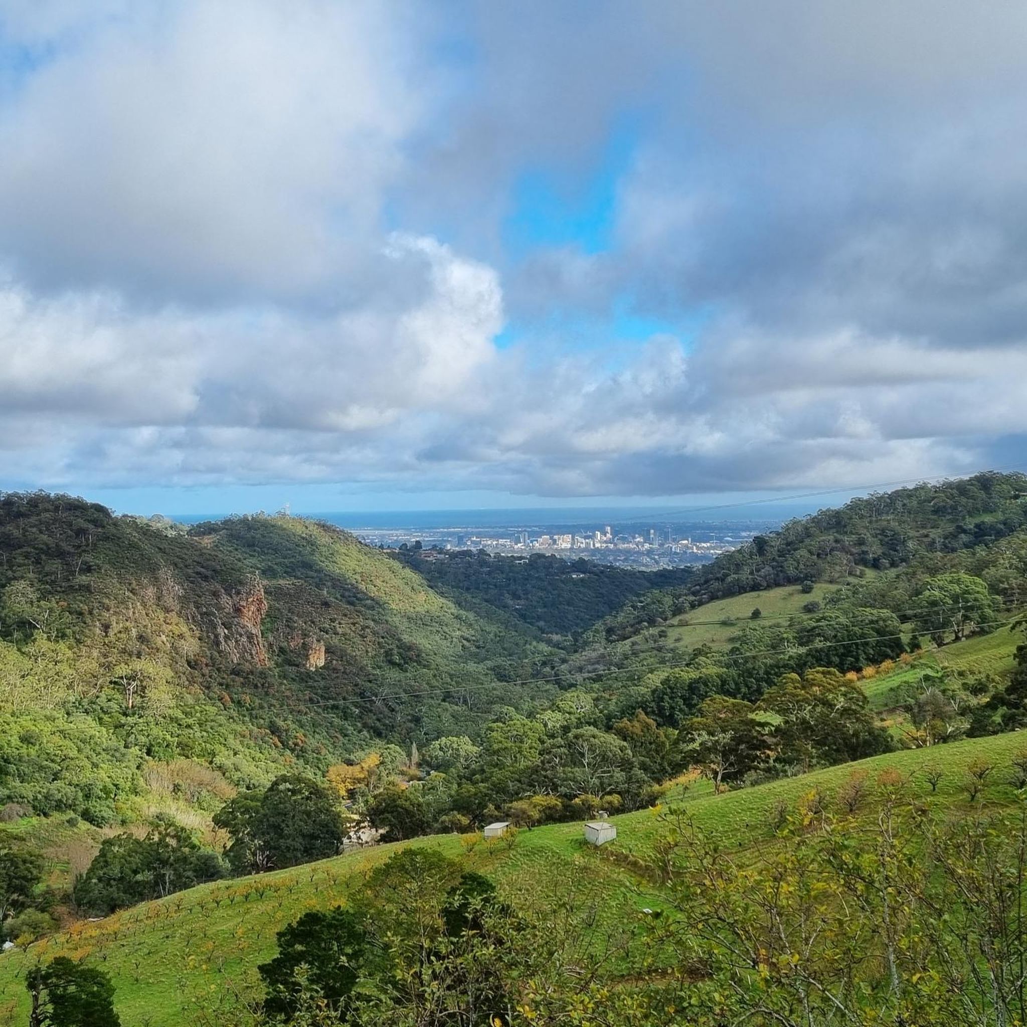
Road Cycling Routes in Anstey Hill Recreation Park
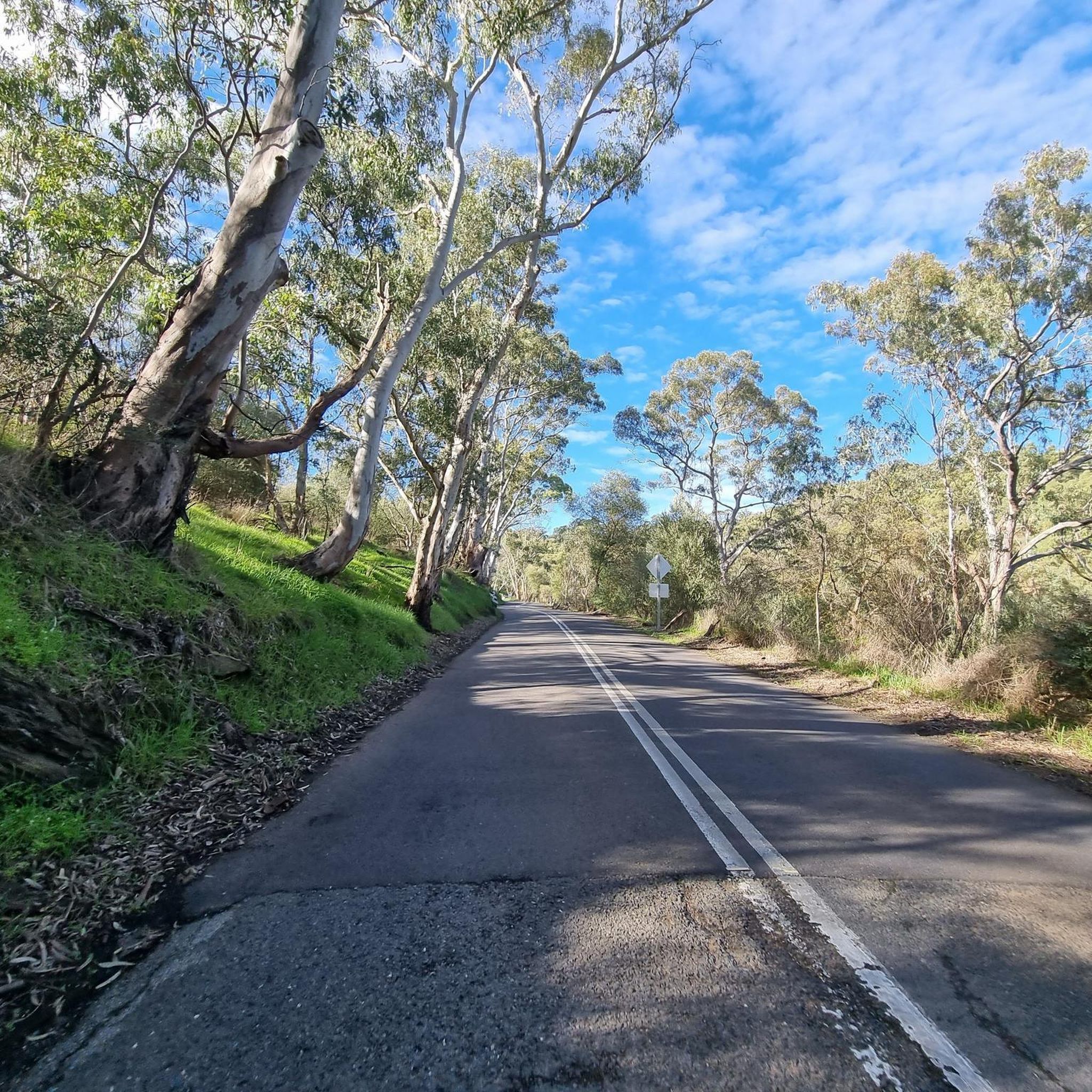
Road Cycling Routes in Craigburn Farm Open Space Reserve
Other adventures in South Australia

Tips from the Community

The Torrens Weir was built between 1880 and 1881 to replace an earlier wooden structure built by prison labour. To this day, this concrete weir holds back the River Torrens water to create the Torrens Lake that runs through the heart of the Adelaide centre. On the east side of the weir there are information panels to read up on, a water bubbler to refill your bottle, and a paved pathway to cross the weir.
0
0
This bridge spanning the River Torrens is part of the Adelaide Parklands Trail. It connects the Bunyip Trail and the River Torrens Linear Park. The views down to the river below are very scenic, and though the bridge is short, it's a nice photo opportunity.
0
0

Black Hill Conservation Park covers 684 hectares of native bushland on the eastern edge of Adelaide, with an extensive network of walking trails that wind through rugged ridges, gullies, and open forest. In the spring, the park is dotted with native wildflowers, including several varieties of delicate orchids, and if you’re a birdwatcher, there is an abundance of birdlife here to keep an eye out for. You’ll likely see superb fairywrens, southern boobooks, and black-faced cuckoo-shrikes that are spotted regularly throughout the park.
0
0

The South Australian Aviation Museum has a large number of aircrafts and displays that explain the history and importance of the aerospace industry in South Australia. The museum began as a passion project of local enthusiasts and by 1990 it had become the official aviation museum for South Australia. It has been at this location since 2006, with a second hangar being added in 2017 to accommodate the growing collection.
0
0
From this spot, the river meets the sea, opening into Gulf St Vincent between Henley Beach South and West Beach. As you walk near the outlet, you’ll find a mix of sandy shoreline with beautiful coastal views, and calm river edges, with seabirds and changing tides giving the area a constantly shifting feel. Whether you stop for a beach walk or watch the water flow into the ocean, it’s a peaceful place to experience where Adelaide’s best-known river reaches the coast.
0
0
River Torrens (Karrawirra Pari) is Adelaide’s central river, flowing about 85 kilometres from the Adelaide Hills through the city centre and west to the sea at Henley Beach. Lined by parks, wetlands, and walking trails through much of metropolitan Adelaide, the river supports birdlife, recreation, and important green spaces while also holding deep cultural significance for the Kaurna people, who know it as Karrawirra Pari, meaning “red gum forest river.” Along its course, the river varies from narrow, tree-lined sections and wetlands to more expansive stretches, including the well-known waters of Torrens Lake in central Adelaide.
0
0
River Torrens Linear Park is a long green corridor that follows the River Torrens (Karrawirra Pari) through Adelaide, linking parks, wetlands, picnic areas, and shared-use trails from the Adelaide Hills to the coast at Henley Beach. Established to improve river health and public access, the park combines open lawns, native vegetation, wetlands, playgrounds, and shaded riverbanks that support birdlife and recreation throughout the city. Its mostly flat, continuous pathway makes it popular for walking and cycling, with multiple access points connecting the surrounding suburbs and reserves.
0
0
From this spot, you have a fantastic view of Adelaide’s western coastline, stretching from West Beach to Glenelg Beach. The nearby beaches and low dunes complete the perfect coastal setting, and the path runs right along the sand. If you’re lucky enough to be here in the evening at sunset, it’s especially beautiful, when the sky and water are filled with warm, vibrant colours.
0
0
Frequently Asked Questions
How many road cycling routes are available in South Australia, and what are their difficulty levels?
South Australia offers a wide variety of road cycling routes, with over 440 available on komoot. These routes cater to all skill levels, including approximately 76 easy routes, 229 moderate routes, and 135 difficult routes, ensuring there's something for every cyclist.
What is the best time of year for road cycling in South Australia?
South Australia's mild climate makes it suitable for road cycling year-round. Spring (September-November) and Autumn (March-May) are particularly pleasant, offering comfortable temperatures and vibrant landscapes, especially in the wine regions. Summer can be hot, so early morning rides are recommended, while winter offers cooler, crisp conditions, especially in coastal areas like the Fleurieu Peninsula.
Are there family-friendly road cycling routes in South Australia?
Yes, South Australia has several family-friendly options, particularly the rail trails which offer gentle gradients and paved surfaces. The Linear Park Entry – River Torrens Linear Park loop from Adelaide is an easy route that follows the river, providing a peaceful urban ride. The Riesling Trail in Clare Valley and the Encounter Bikeway along the Fleurieu Peninsula are also excellent choices for leisurely rides with scenic views.
Where can I find challenging road cycling routes in South Australia?
For those seeking a challenge, the Adelaide Hills are the prime destination. Routes like the Old Freeway Bike Path – Mount Lofty Summit Viewpoint loop from Mitcham and the Norton Summit Climb – Cudlee Café loop from Adelaide feature significant elevation gains and rewarding panoramic views. The Old Freeway at Mount Lofty is particularly popular for its consistent climb and limited traffic.
Which road cycling routes offer the most scenic views or pass by interesting landmarks?
Many routes in South Australia boast stunning scenery. The wine regions, such as Clare Valley and Barossa, offer picturesque rides through vineyards. Coastal routes like the Encounter Bikeway provide ocean vistas. For panoramic city views, consider routes that ascend to Mount Lofty Summit. The Semaphore – Port Adelaide Industrial Area loop from Goodwood offers unique views of the coastline and industrial heritage. You might also pass by the Waterfall Gully on some Adelaide Hills routes.
Can I cycle through South Australia's famous wine regions?
Absolutely! South Australia's wine regions are a highlight for road cyclists. The Clare Valley features the Riesling Trail, while the Barossa offers the Barossa Trail and Jack Bobridge Track, winding through historic vineyards. In McLaren Vale, the Coast to Vines Rail Trail and Shiraz Trail provide scenic routes with vineyard vistas and views towards the Southern Ocean. These routes often pass by cellar doors, perfect for a stop.
Are there road cycling routes along the coast in South Australia?
Yes, the Fleurieu Peninsula is renowned for its coastal cycling. The Encounter Bikeway is a fantastic 31km trail connecting townships like Goolwa, Middleton, Port Elliot, and Victor Harbor, offering beautiful views of surf beaches and rocky headlands. The Patawalonga River loop from Port Dock also offers a pleasant ride near the coast.
Are there options for long-distance road cycling in South Australia?
For long-distance adventurers, the Mawson Trail is an epic 800km route that stretches from Adelaide through the Barossa and Clare Valley to the Flinders Ranges. While it includes a mix of surfaces, significant sections are suitable for road cycling, offering a comprehensive tour of the state's diverse landscapes.
Are there road cycling routes with cafes or places to stop for refreshments?
Many routes, especially those in the Adelaide Hills and wine regions, pass by charming cafes and bakeries. For instance, the Norton Summit Climb – Uraidla Republic Café & Bakery loop from Adelaide specifically highlights a popular stop. The The Grind Café – Norton Summit Climb loop from Adelaide also suggests a route with a cafe stop. The wine regions are dotted with cellar doors and eateries perfect for a break.
What do other road cyclists enjoy the most about road cycling in South Australia?
The road cycling experience in South Australia is highly rated by the komoot community, with an average score of 4.6 stars from over 70 reviews. Cyclists frequently praise the diverse terrain, from challenging climbs in the Adelaide Hills to scenic coastal paths and vineyard trails. The well-maintained routes and the opportunity to combine cycling with gastronomic experiences in the wine regions are also often highlighted.
Are there any specific parks or reserves that are good for road cycling?
While many national parks are geared towards mountain biking, road cyclists can enjoy scenic rides on the roads surrounding and leading to them. For example, the roads around Old Freeway Bike Path in the Adelaide Hills offer excellent road cycling. Myponga Reservoir Reserve also provides sweeping views and roads suitable for cycling. For more information on cycling in the Adelaide Hills, you can visit visitadelaidehills.com.au.
Can I find circular road cycling routes in South Australia?
Yes, many of the road cycling routes in South Australia are designed as loops, allowing you to start and finish at the same point. Examples include the King William Road, Hyde Park – Norton Summit Climb loop from Goodwood and the Old Freeway Bike Path – Mount Lofty Summit Viewpoint loop from Adelaide Parklands Terminal. These circular routes are convenient for day trips and exploring specific areas.
Most popular routes in South Australia
Most popular attractions in South Australia

Get inspired with the komoot mobile app


Didn’t find what you were looking for?
Check out more Road cycling routes throughout South Australia below and find the perfect route in your destination.
Explore more
Browse the best Road cycling routes in other regions.
