The best walks and hikes around Schattenhalb
4.6
(953)
7,236
hikers
53
hikes
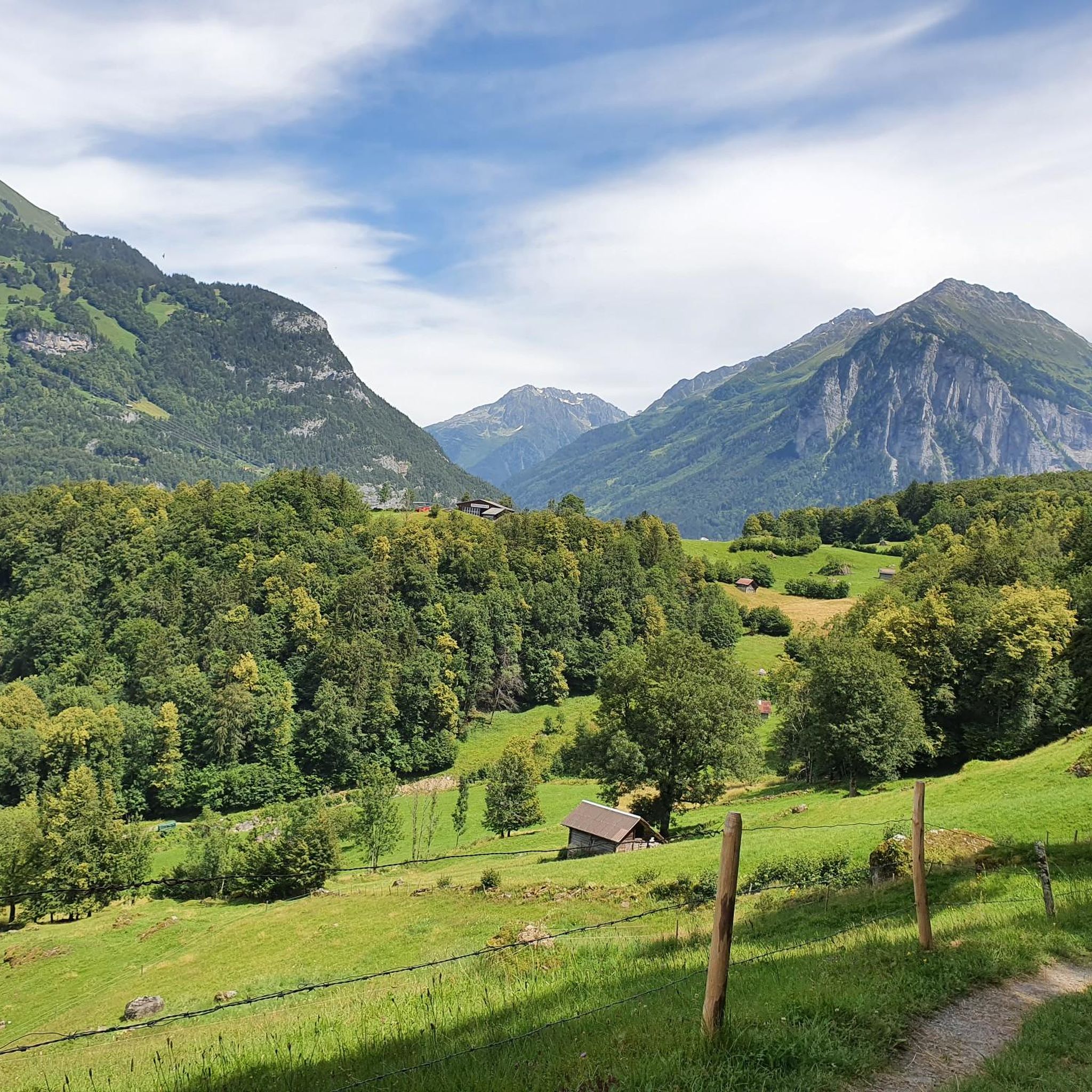
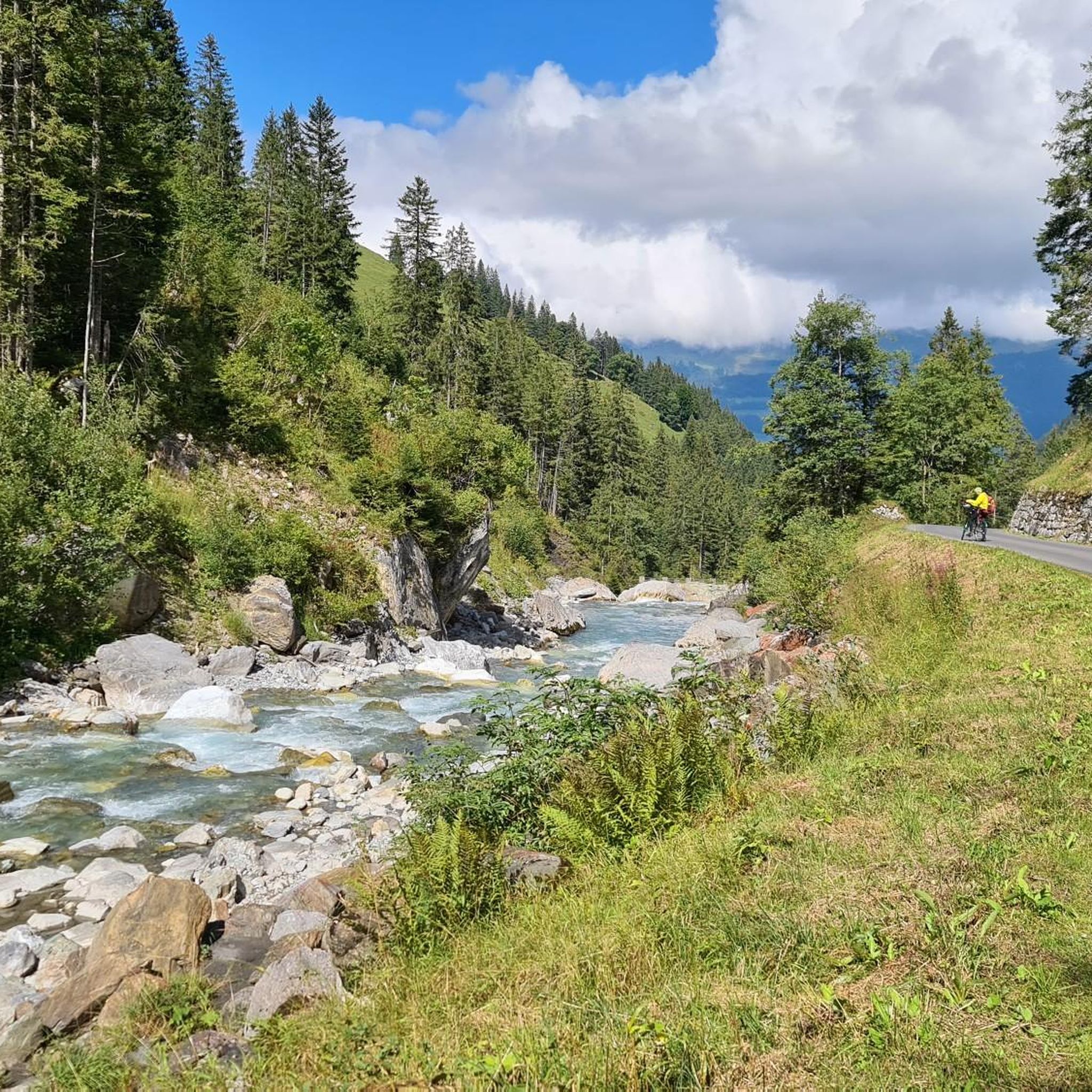
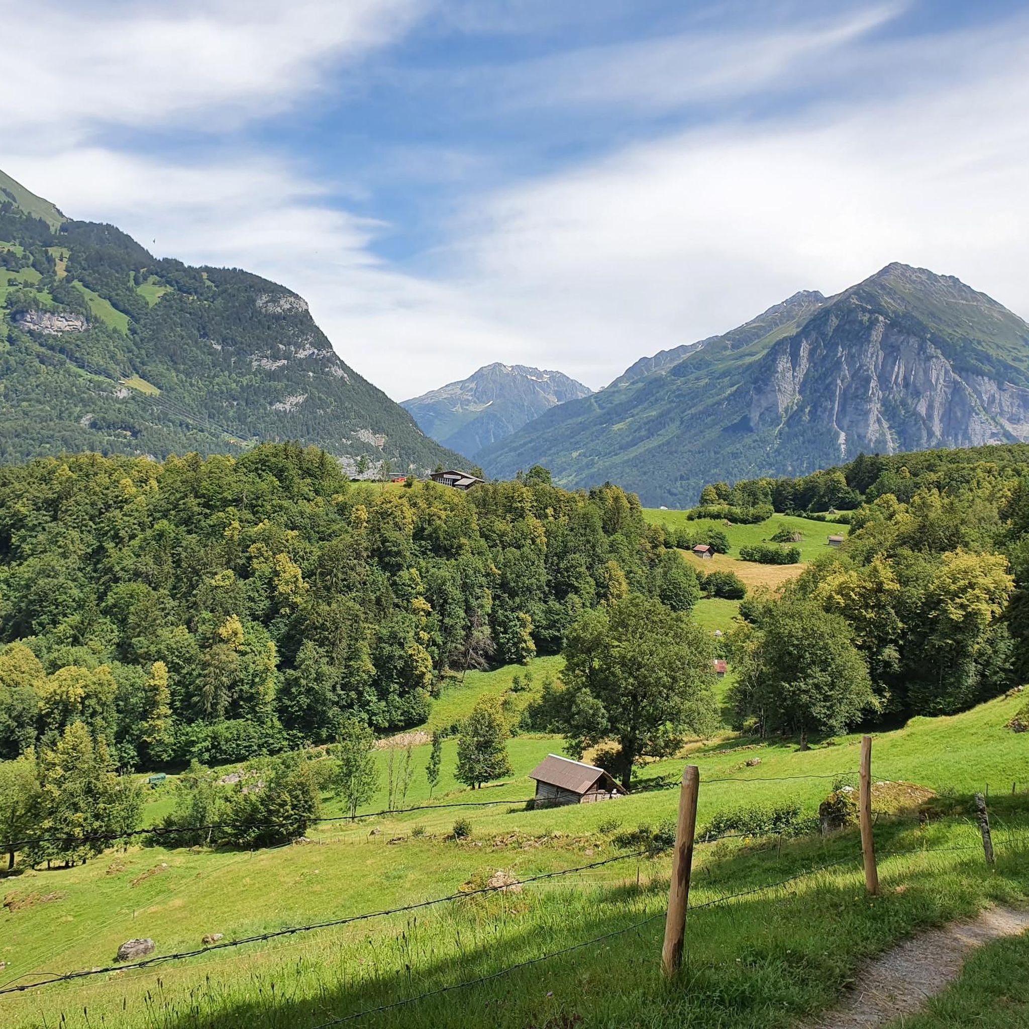
Hiking around Schattenhalb offers diverse terrain, characterized by dramatic glacial valleys, deep gorges, and expansive moorlands. The region is framed by mighty mountain slopes, including iconic peaks, providing a varied landscape for outdoor activities. Numerous waterways, such as the Aare River and Reichenbach Falls, carve through the area, creating impressive natural features.
Best hiking trails around Schattenhalb
- The most popular hiking route is Chaltenbrunnen-Hochmoorweg (Route 375), a 8.6 miles (13.8 km) trail that takes 5 hours 1 minute to…
Last updated: October 9, 2026
4.7
(20)
135
hikers
13.8km
05:01
770m
1,020m
Hard hike. Very good fitness required. Mostly accessible paths. Sure-footedness required.
4.9
(105)
571
hikers
Hard hike. Good fitness required. Sure-footedness, sturdy shoes and alpine experience required.

4.7
(66)
582
hikers
4.54km
01:28
190m
190m
Easy hike. Great for any fitness level. Easily-accessible paths. Suitable for all skill levels.
4.9
(58)
291
hikers
Moderate hike. Good fitness required. Easily-accessible paths. Suitable for all skill levels.
4.8
(37)
190
hikers
Easy hike. Great for any fitness level. Easily-accessible paths. Suitable for all skill levels.
Get access to more routes and recommendations from other explorers.
Already have an account?
Our route recommendations are based on thousands of hikes, rides, and runs completed by other people on komoot.
Start today with a free account
Your next adventure awaits.
Other adventures around Schattenhalb

Tips from the Community

The Engelhornhütte (1,901 m above sea level) is a cozy, traditional hut of the Akademischer Alpenclub Bern (AACB) and is spectacularly located at the foot of the striking Engelhörner peaks in the Reichenbachtal valley! 🏔️🪵 Surrounded by steeply rising limestone rock faces, it is considered an absolute meeting point and backdrop for climbers and mountain-loving hikers 🧗♂️✨ The ascent from Rosenlaui is short but challenging – after about 1.5 to 2 hours of walking, you reach the sun terrace! 🥾☀️ Enjoy homemade specialties and the fantastic view of the icefalls of the Rosenlaui Glacier and the Wetterhorn 🥧☕ For climbing fans, the hut serves as an ideal base for classics in the Engelhörner, such as the Simeliturm or the Ochsenfluh! 🧗♀️⛰️ (Note: The hut is staffed during the summer season; advance booking is highly recommended for overnight stays)
0
0
The Rosenlaui Glacier towers majestically at the end of the valley of the same name and, with its rugged ice and rock formations, shapes the high mountain scenery below the Wetterhorn and Wellhorn! 🏔️❄️ The glacier's meltwater feeds the spectacular Rosenlaui Gorge and carves its way through one of the wildest valleys in the Bernese Oberland. 🌊🦅 For experienced mountain hikers, the ascent from Schwarzwaldalp up to the Grosse Scheidegg or further towards the unattended Dossenhütte is an absolute dream with a constant view of the imposing icefalls! 🥾📸 Definitely pack binoculars to observe the deep glacial crevasses and the barren high alpine nature from a safe distance. 🔭✨
0
0
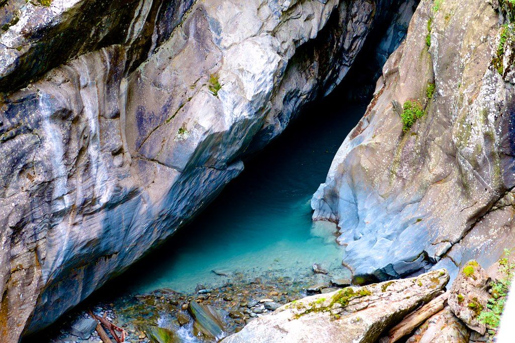
The Rosenlaui Glacier Gorge in the Haslital is an impressive natural spectacle and an absolute highlight in the Bernese Oberland! 🌊🏔️ Along a secured path carved into the steep rock, you hike past roaring waterfalls, deep glacial mills, and swirling streams that have carved their way through the limestone over millennia 💥📸 The well-developed circular trail leads steadily uphill via stairs and tunnels, rewarding you at the top with an idyllic descent through a magical mountain forest 🌲🥾 Bring a light rainproof device or a jacket, as the spray from the rushing waterfalls gently mists through the narrow gorge! Ideally combinable with a further hike to Schwarzwaldalp or a postbus ride over the historic Grosse Scheidegg 🚌⛰️ (Note: The path is designed as a one-way street and is usually open from May to October)
0
0

The site is located in the valley with a great view of the mountains. Nice campsite in the mountains with a small but fine above-ground pool for cooling off, a great play area with vehicles for children and a table tennis table. Friendly owners who are happy to provide information on excursion tips and are always helpful. Perfect starting point for excursions, the Aare Gorge and the train are reachable in about 7 minutes on foot. open: 01 May – 15 October 2026 Disadvantage, for people who don't like traffic noise, the campsite is located on the main road (Haslital-/Brünig–Grimsel–Susten-Route).
0
0
The west entrance of the Aare Gorge is the main access to the gorge and is located on the side of Meiringen. For many visitors, it is the most pleasant starting point, as the best infrastructure is available here. Parking spaces directly at the entrance, also for coaches. Restaurant and kiosk with terrace, as well as a large children's playground. Accessible section: From the west entrance to about the middle of the gorge, the path is easily passable with a wheelchair and narrow prams. Return by train: The Aareschlucht West stop is about a 10-minute walk from the entrance. The return journey on the Meiringen–Innertkirchen railway is included in the entrance fee.
0
0

Magical and definitely worth protecting nature, marvel and preserve :-)
1
0

1960 The bridge and paths to the ,,Trockenen Lamm“ were dismounted because the cost of maintenance was too high. 1977 Financial investment was focused upon infrastructure and visitor's safety. 1987 The Aareschlucht restaurant at the west entrance was renovated. 2003 The MIB train stop at Aareschlucht Ost was accessed by a new swing-bridge. 2005 After a very bad storm, the gorge was closed for a few days during peak season because of safety reasons. 2008 The Aare-Bistro at the east entrance was built.
0
3
1946 On 6 May, the MIB train (between Meiringen and Innertkirchen) was granted permission to be used for public transport. The train belongs to the Oberhasli Hydroelectric Power Company and had previously been operating solely as a transport and workers' train for the company since 1 August 1926. 1947 The opening of the Susten pass road lead to a visitor's record 180000 admissions. 1957 The tram line was replaced by a bus connection.
0
3
Frequently Asked Questions
How many hiking trails are available in Schattenhalb?
Schattenhalb offers a diverse network of over 50 hiking trails. These routes cater to various skill levels, including 17 easy, 23 moderate, and 14 difficult options, ensuring there's a suitable path for every hiker.
Are there any family-friendly hiking routes in Schattenhalb?
Yes, Schattenhalb has several easy trails suitable for families. For a shorter, immersive experience, consider the Rosenlaui Glacier Gorge – Rosenlaui Gorge Waterfalls loop from Klein Wellhorn, which is an easy 1.8 km path. Another accessible option is The Aare Gorge – Aare Gorge East Entrance loop from Meiringen, an easy 4.6 km trail through the impressive Aare Gorge.
What are the best trails to see waterfalls and gorges in Schattenhalb?
Schattenhalb is renowned for its spectacular waterways. You can explore the famous Reichenbach Falls and the magnificent Rosenlaui Glacier Gorge on routes like the Rosenlaui Glacier Gorge – Rosenlaui Gorge Waterfalls loop from Reichenbach Falls. The deep chasm of the Aare Gorge is also a must-see, accessible via trails such as The Aare Gorge – Aare Gorge East Entrance loop from Meiringen.
Are there any circular hiking routes in Schattenhalb?
Yes, Schattenhalb features several excellent circular routes. A popular choice is the Rosenlaui Glacier Gorge – Rosenlaui Gorge Waterfalls loop from Reichenbach Falls, which allows you to experience two major natural attractions. For a moderate option, try the Rosenlaui Glacier Gorge – Rosenlaui Gorge Waterfalls loop from Gschwantenmad.
What kind of natural landscapes can I expect to see while hiking in Schattenhalb?
Schattenhalb offers a diverse range of natural landscapes, from dramatic glacial valleys and deep gorges carved by rivers like the Aare, to serene moorlands and mighty mountain slopes. You'll encounter impressive features like the Rosenlaui Glacier Gorge and romantic moor landscapes, especially along routes like the Chaltenbrunnen-Hochmoorweg (Route 375).
What do other hikers say about the trails in Schattenhalb?
The hiking trails in Schattenhalb are highly regarded by the komoot community, holding an average rating of 4.6 stars from over 700 reviews. Hikers frequently praise the region's stunning natural beauty, the variety of terrain, and the well-maintained paths that lead through glacial valleys, gorges, and moorlands.
Are there any challenging hikes for experienced hikers in Schattenhalb?
Absolutely. Schattenhalb offers several demanding routes for experienced hikers. The Chaltenbrunnen-Hochmoorweg (Route 375) is a difficult 13.8 km trail traversing romantic moor landscapes. Another challenging option is the Rosenlaui Glacier Gorge – Rosenlaui Gorge Waterfalls loop from Reichenbach Falls, a difficult 9.6 km path exploring dramatic gorges and waterfalls.
What are some nearby attractions or points of interest to explore in Schattenhalb?
Beyond the trails, Schattenhalb is rich in natural attractions. You can visit the iconic Aare Gorge, the stunning Rosenlaui Glacier Gorge, or the famous Reichenbach Falls. The region also features beautiful lakes like Bachalpsee and Tannensee, offering additional scenic spots.
Can I find places to rest or eat along the hiking trails?
Yes, many trails in Schattenhalb pass by cozy mountain huts. These huts provide excellent opportunities to rest, enjoy regional specialties, drink fresh spring water, and sometimes even offer overnight stays, enhancing the hiking experience.
What is the best time of year to go hiking in Schattenhalb?
While specific conditions vary, the warmer months typically offer the best hiking experience in Schattenhalb, with trails more accessible and the natural features like gorges and waterfalls at their most impressive. Always check local weather and trail conditions before heading out, especially for higher alpine routes.
Are there any easy, shorter hikes for beginners in Schattenhalb?
Yes, beginners can enjoy several easy and shorter hikes. The Rosenlaui Glacier Gorge – Rosenlaui Gorge Waterfalls loop from Klein Wellhorn is an easy 1.8 km route, perfect for a quick scenic walk. Another accessible option is The Aare Gorge – Aare Gorge East Entrance loop from Meiringen, an easy 4.6 km trail that is relatively flat and well-maintained.
What kind of geological features are prominent in Schattenhalb?
Schattenhalb is characterized by impressive glacial formations and deep river-carved gorges. The Rosenlaui Glacier Gorge, a UNESCO World Heritage site, showcases the power of glacial erosion, while the Aare Gorge is a prime example of a chasm carved by the Aare River, revealing millennia of geological history.
Most popular routes around Schattenhalb
Most popular attractions around Schattenhalb

Get inspired with the komoot mobile app


Explore more
Browse the best Hikes in other regions.
