The best mountain hikes around Schattenhalb
4.8
(44)
480
hikers
26
hikes
Mountaineering routes around Schattenhalb are set amidst the dramatic alpine landscapes of the Bernese Oberland in Switzerland. The region features significant peaks, glaciers like the Rosenlaui Glacier, and deep gorges such as the Rosenlaui Glacier Gorge. Terrain varies from rocky high-altitude areas to forested sections and alpine pastures, offering a diverse environment for mountaineering.
Best mountaineering routes around Schattenhalb
- The most popular mountaineering route is Oberer Grindelwald Glacier – Gleckstein Hut loop from Interlaken-Oberhasli administrative district, a 7.0 miles (11.3 km) difficult trail that takes about 7 hours to complete, offering challenging terrain towards the Gleckstein Hut.
- Another top favourite among local mountaineers is Distelboden – View from Schwarzhorn Summit loop from Berggasthaus First, a difficult 5.6 miles (9.1 km) path. This route leads to the Schwarzhorn Summit, providing panoramic alpine views.
- Local mountaineers also love the Dossen Hut – Rosenlaui Gorge loop from Klein Wellhorn, a 6.0 miles (9.7 km) trail leading through the impressive Rosenlaui Gorge, often completed in about 7 hours.
- Mountaineering around Schattenhalb is defined by dramatic gorges, majestic glaciers, and challenging mountain peaks. The network offers options for different ability levels, from moderate ascents to difficult high-alpine routes.
- The routes in Schattenhalb are highly rated by the komoot community with an average score of 4.8 stars from over 40 reviews. More than 400 mountaineers have used komoot to explore Schattenhalb's varied terrain.
Last updated: August 16, 2026
5.0
(5)
69
hikers
Hard mountaineering route. Very good fitness required. Sure-footedness, sturdy shoes and alpine experience required.
5.0
(2)
49
hikers
Hard mountaineering route. Very good fitness required. Sure-footedness, sturdy shoes and alpine experience required.

Sign up for free
5.0
(3)
64
hikers
9.67km
07:16
1,270m
1,270m
Hard mountaineering route. Very good fitness required. Sure-footedness, sturdy shoes and alpine experience required.
5.0
(3)
35
hikers
10.0km
03:48
480m
470m
Moderate mountaineering route. Good fitness required. Mostly accessible paths. Sure-footedness required.
5.0
(3)
24
hikers
Hard mountaineering route. Good fitness required. Sure-footedness, sturdy shoes and alpine experience required.
Get access to more routes and recommendations from other explorers.
Sign up for free
Already have an account?
Our route recommendations are based on thousands of hikes, rides, and runs completed by other people on komoot.
Start today with a free account
Your next adventure awaits.
Login or Signup
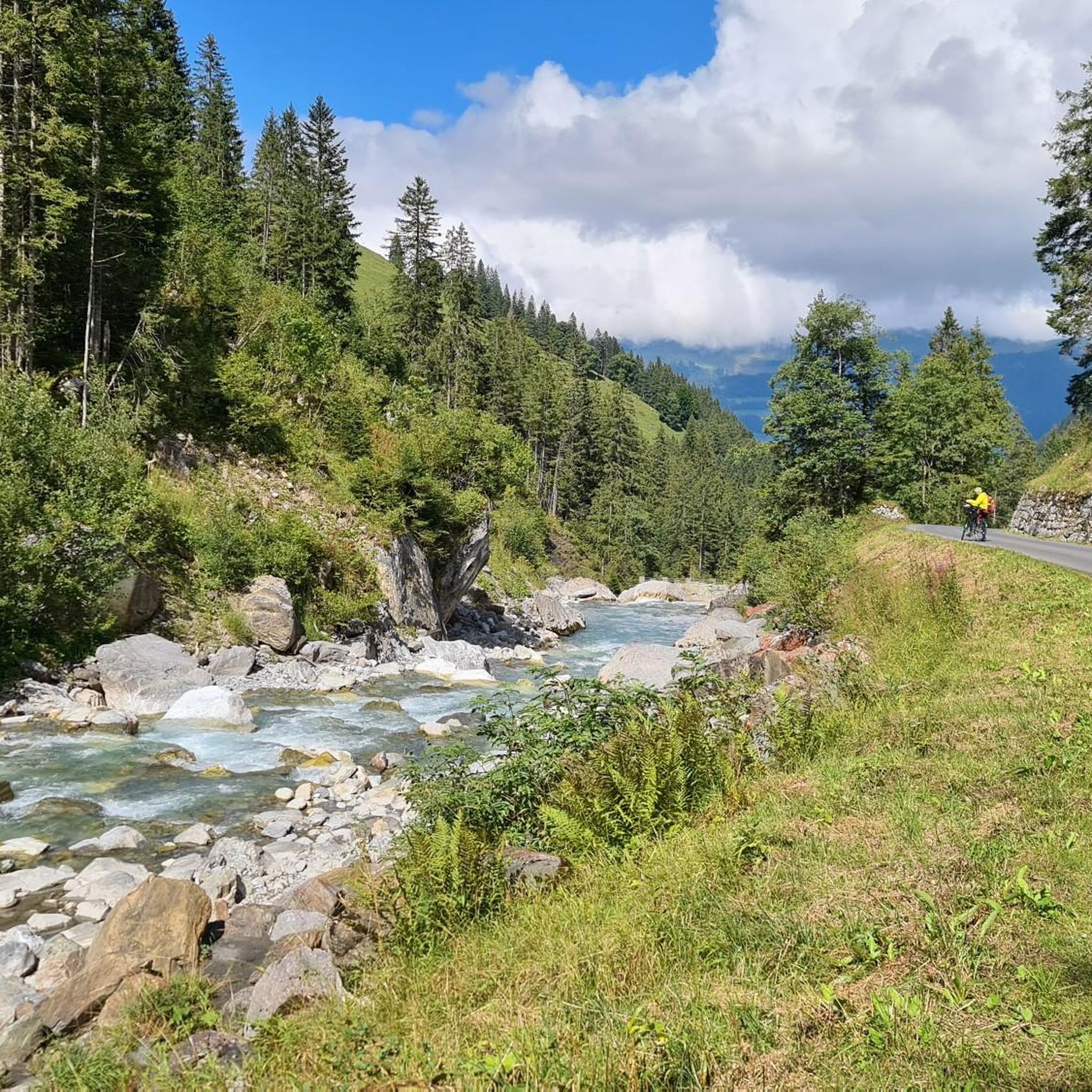
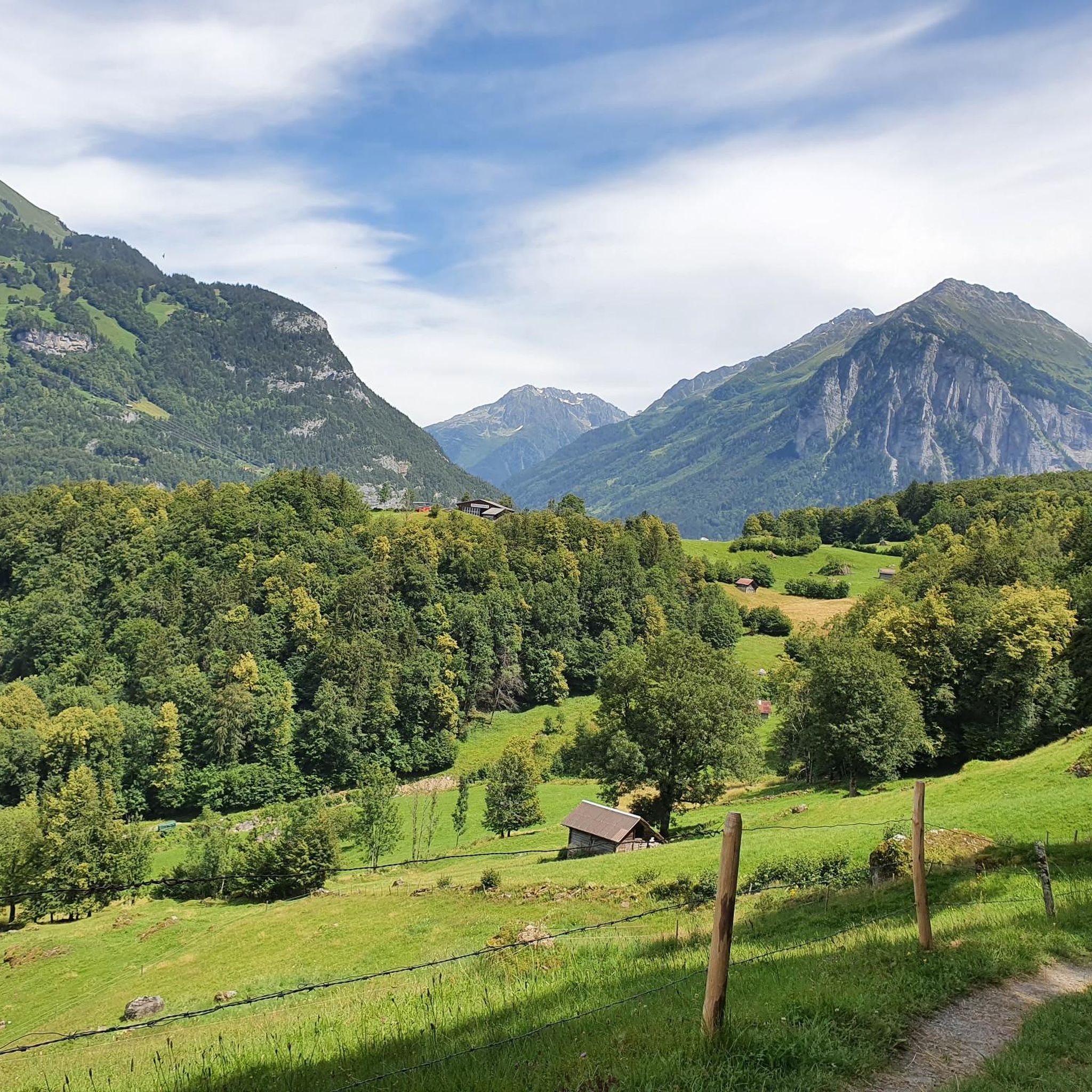
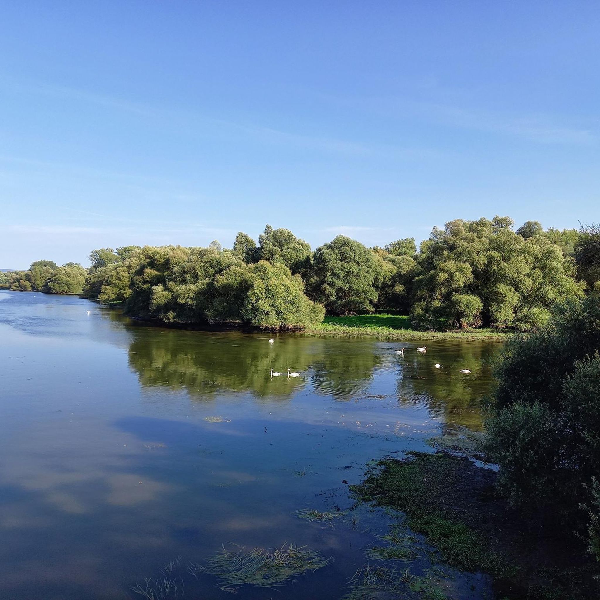
Other adventures around Schattenhalb

Tips from the Community

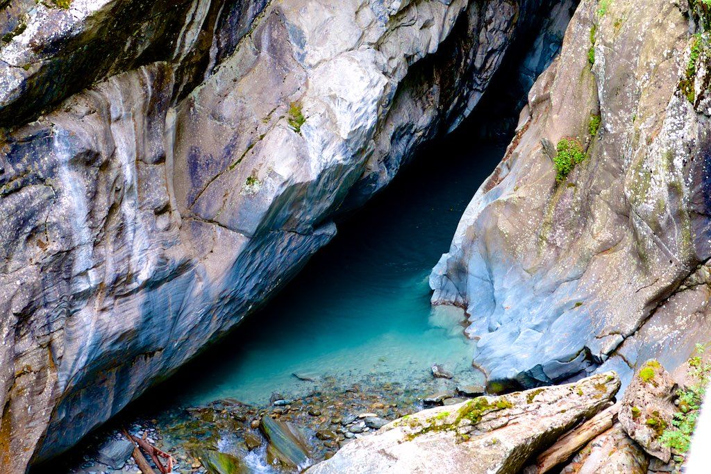
The Rosenlaui Glacier Gorge in the Haslital is an impressive natural spectacle and an absolute highlight in the Bernese Oberland! 🌊🏔️ Along a secured path carved into the steep rock, you hike past roaring waterfalls, deep glacial mills, and swirling streams that have carved their way through the limestone over millennia 💥📸 The well-developed circular trail leads steadily uphill via stairs and tunnels, rewarding you at the top with an idyllic descent through a magical mountain forest 🌲🥾 Bring a light rainproof device or a jacket, as the spray from the rushing waterfalls gently mists through the narrow gorge! Ideally combinable with a further hike to Schwarzwaldalp or a postbus ride over the historic Grosse Scheidegg 🚌⛰️ (Note: The path is designed as a one-way street and is usually open from May to October)
0
0

Wonderful 360° view of Lungern-, Sarnersee and, in clear weather, up to Vierwaldstättersee. The last corner of Thunersee can also be seen. Chasseral, Finsteraarhorn, Eiger, Mönch, Jungfrau, Silberhorn, Grosse Scheidegg are just some of the wonderful landmarks that can be admired. In damp or wet weather, it is not advisable due to the long and steep ascent and descent via the hiking trail.
0
0

The Bachalpsee above Grindelwald is one of the most beautiful mountain lakes in Switzerland. In good conditions, the clear water reflects the peaks of the Schreckhorn, Finsteraarhorn, and Wetterhorn. Thanks to the easy hike from the First mountain station, the lake is a popular destination. The impressive alpine scenery delights hikers, photographers, and nature lovers alike.
5
0

very pretty here, very pretty
0
0
Frequently Asked Questions
How many mountaineering routes are available in Schattenhalb?
Schattenhalb offers a diverse selection of over 25 mountaineering routes. These range from moderate ascents to challenging high-alpine trails, catering to various experience levels.
What is the general difficulty level of mountaineering routes in Schattenhalb?
The routes in Schattenhalb are primarily categorized as moderate to difficult. There are approximately 10 moderate routes and 16 difficult routes, providing options for those seeking both challenging climbs and less strenuous, yet rewarding, alpine experiences.
When is the best time of year for mountaineering in Schattenhalb?
The prime season for mountaineering in Schattenhalb is generally from late spring through early autumn. During these months, the weather is more stable, and trails are typically free of snow, making for safer and more enjoyable conditions. Higher elevations may retain snow longer.
Are there any routes that feature impressive gorges or waterfalls?
Yes, Schattenhalb is renowned for its dramatic natural features. You can explore routes that lead through the impressive Rosenlaui Glacier Gorge, known for its unique rock formations and waterfalls. Another option is the Rosenlaui Gorge – Weg entlang des Reichenbachs loop from Reichenbach Falls, which also brings you close to the famous Reichenbach Falls.
Are there family-friendly mountaineering options in Schattenhalb?
While many routes are challenging, there are moderate options that families with older children and some hiking experience might enjoy. For instance, the First Cliff Walk by Tissot – Bachalpsee loop from Berggasthaus First offers stunning views and a thrilling experience, accessible via cable car, making it a memorable outing for active families.
Can I bring my dog on mountaineering routes in Schattenhalb?
Many trails in the Bernese Oberland, including those around Schattenhalb, are dog-friendly. However, it's always advisable to check specific route regulations and ensure your dog is accustomed to alpine terrain. Keep dogs on a leash, especially in areas with livestock or wildlife, and be mindful of steep sections or narrow paths.
Are there circular mountaineering routes available in Schattenhalb?
Yes, several routes in Schattenhalb are designed as loops, allowing you to start and end at the same point. An example is the challenging Oberer Grindelwald Glacier – Gleckstein Hut loop from Interlaken-Oberhasli administrative district, which offers a full circuit through dramatic alpine scenery.
What kind of landmarks or viewpoints can I expect to see on these routes?
Schattenhalb's routes offer breathtaking views of significant peaks like Schwarzhorn, Eiger, and Jungfraujoch. You can also encounter natural wonders such as the Aare Gorge and the Rosenlaui Glacier Gorge. The Distelboden – View from Schwarzhorn Summit loop from Berggasthaus First, for example, leads to the Schwarzhorn Summit, providing panoramic alpine vistas.
How can I access the trailheads for mountaineering routes in Schattenhalb?
Access to trailheads often involves a combination of public transport and mountain lifts. For instance, the Firstbahn Cable Car from Grindelwald can transport you to higher altitudes, opening up various routes. Parking is also available at many starting points, though it's recommended to check specific trailhead information in advance.
Are there any permits required for mountaineering in Schattenhalb?
Generally, permits are not required for standard mountaineering routes in Schattenhalb. However, for specific high-alpine climbs, glacier crossings, or guided tours, it's always best to consult local mountain guides or tourist information centers for any specific requirements or safety recommendations.
What do other mountaineers enjoy the most about mountaineering in Schattenhalb?
The area is highly rated by the komoot community, with an average score of 4.8 stars from over 40 reviews. Reviewers often praise the dramatic gorges, majestic glaciers, and challenging mountain peaks, highlighting the diverse and rugged beauty of the Bernese Oberland.
Are there any beginner-friendly mountaineering routes in Schattenhalb?
While many routes are rated moderate to difficult, beginners with a good level of fitness can find suitable options. It's recommended to start with moderate trails and consider hiring a local guide for your first high-alpine experiences to ensure safety and proper technique.
What kind of gear should I bring for mountaineering in Schattenhalb during summer?
Even in summer, alpine conditions can change rapidly. Essential gear includes sturdy hiking boots, layered clothing (waterproof and windproof), a map and compass/GPS, sufficient water and food, sun protection, and a first-aid kit. For more challenging routes, consider bringing crampons, an ice axe, and a helmet, especially if glacier crossings or technical sections are involved.
Most popular routes around Schattenhalb
Most popular attractions around Schattenhalb

Get inspired with the komoot mobile app


Explore more
Browse the best Mountain Hikes & Routes in other regions.
