Top 16 Mountain Passes around Tavernole Sul Mella
Best mountain passes around Tavernole Sul Mella are situated in a mountainous region offering diverse outdoor activities. The area is characterized by its challenging terrain, providing opportunities for both hiking and cycling. Located within Val Trompia, it features prominent peaks and high-altitude crossings with panoramic views. This landscape makes it a destination for those seeking varied mountain experiences.
Best mountain passes around Tavernole Sul Mella
- The most popular mountain passes is Val Palot, a trail that features ski facilities…
Last updated: July 10, 2026
Colle di San Zeno Pass
Highlight • Mountain Pass
Translated by Google •
Tip by

Passo Spino
Highlight • Mountain Pass
It is a small wooded pass, not marked by structures or refuges.
It is located on the road/mule track that connects the two main passes in the area:
Croce di Marone
Showing Translation
Tip by

Sign up now to discover places like this
Get recommendations on the best single tracks, peaks, & plenty of other exciting outdoor places.
Sign up for free
Forcella di Sale
Highlight • Mountain Pass
Translated by Google •
Tip by

Passo Croce
Highlight • Mountain Pass
Here you can fill your water supplies, the locals call this place: "il fontanone" …
Translated by Google •
Tip by

Ascent to Colle San Zeno from Pisogne
Highlight (Segment) • Climb
Translated by Google •
Tip by

Sign up for free to discover even more mountain passes around Tavernole Sul Mella.
Sign up for free
Already have an account?
Start today with a free account
Your next adventure awaits.
Login or Signup
Popular around Tavernole Sul Mella
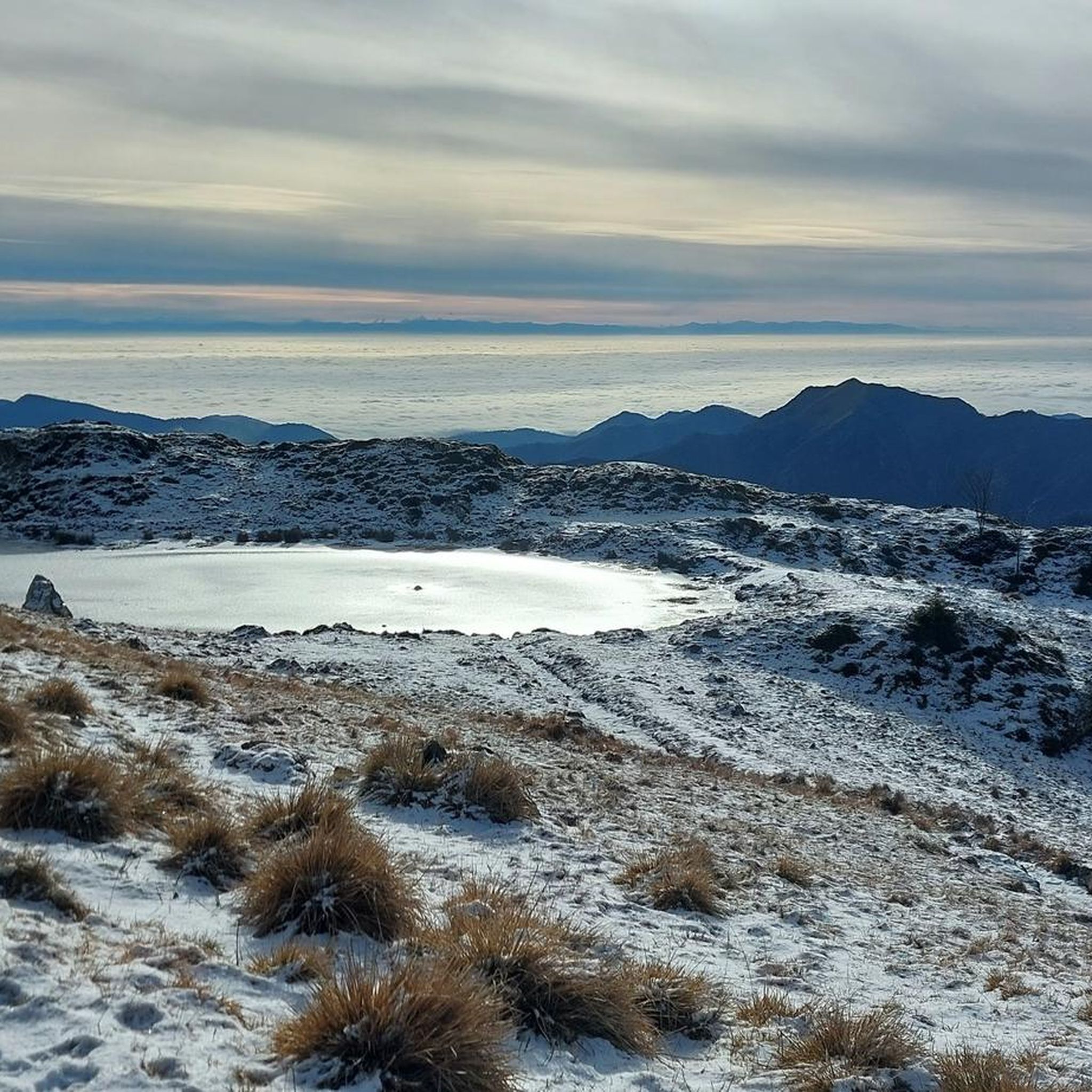

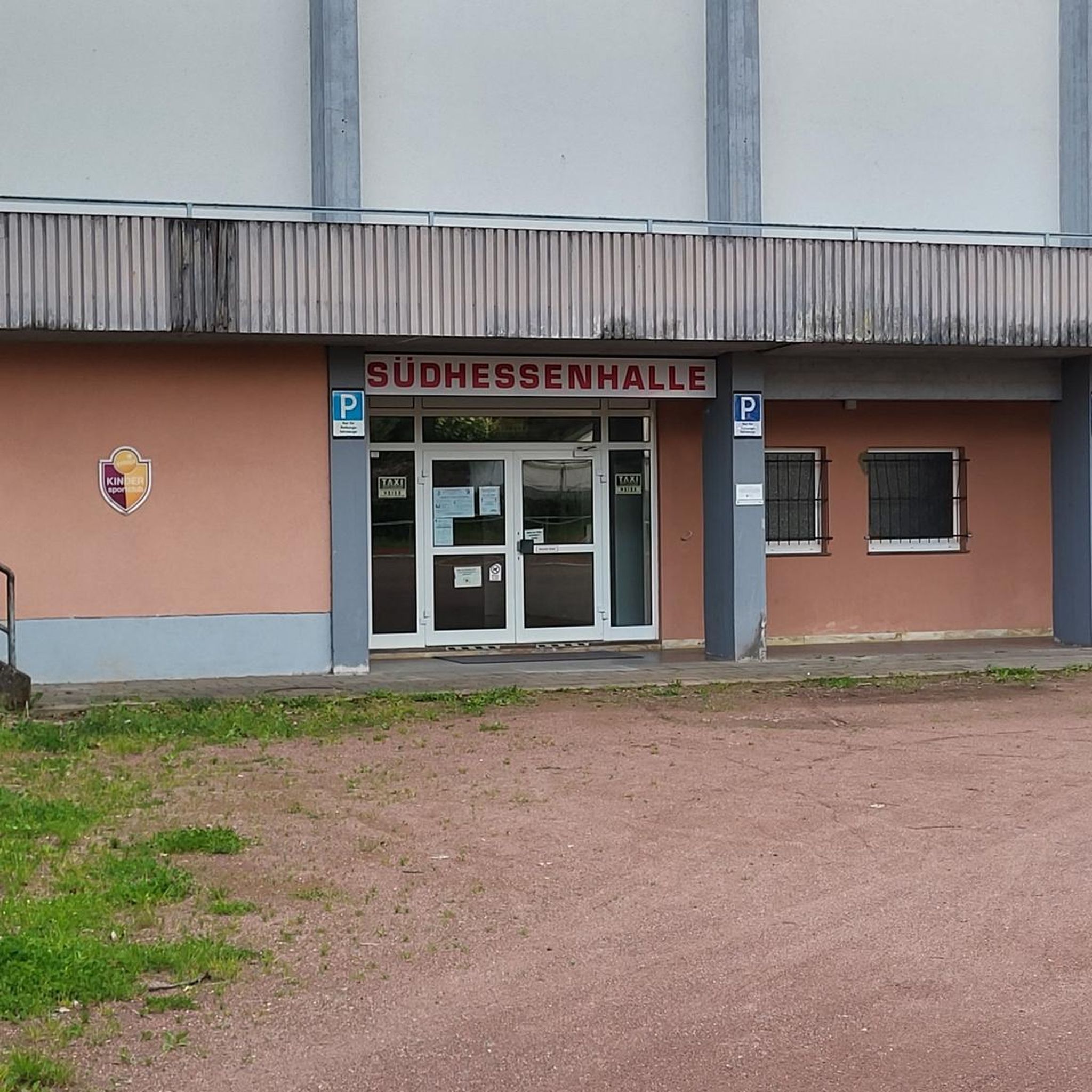
Tips from the Community

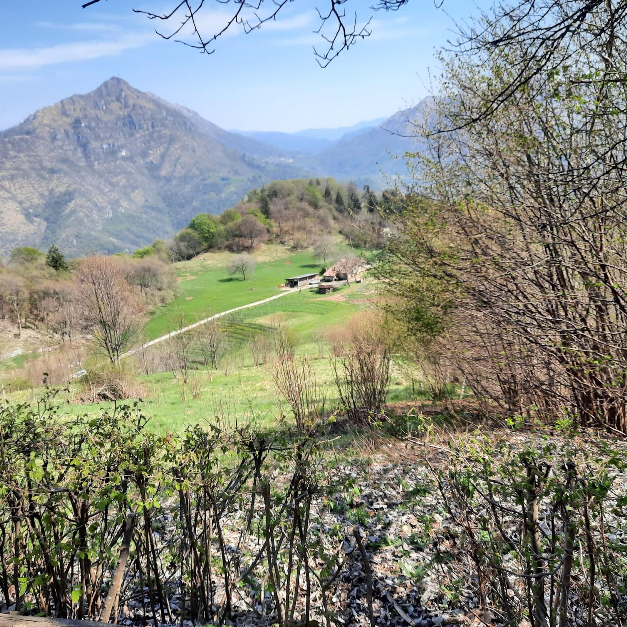
in June the blooming of the laburnums creates a fairytale setting
0
0
In June, the blooming of the laburnums creates a fairytale setting
0
0

Rather unknown pass, although it has already hosted the Giro. The small road has hardly any significant car traffic and is fantastic for cycling.
0
0
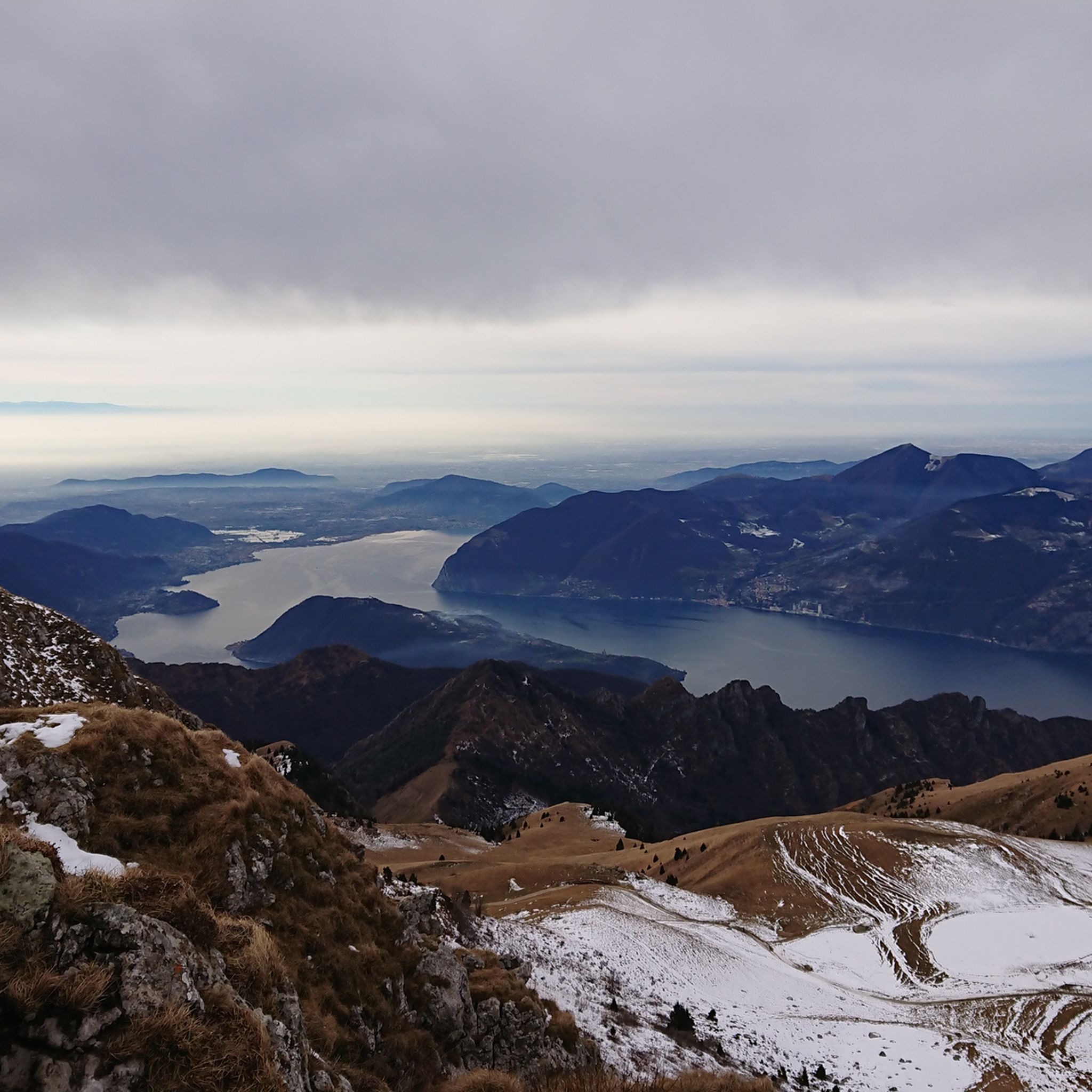
Wonderful ascent with very little car traffic, but fantastic views over the northern end of Lake Iseo.
0
0

📌 Characteristics of Passo Spino (Sebino version) It is a small wooded pass, not marked by structures or refuges. It is located on the road/mule track that connects the two main passes in the area: Croce di Marone Forcella di Sale It is a transit point for MTB riders and hikers who follow the “Malghe in rete” loop. The section between Forcella di Sale and Passo Spino is predominantly downhill, with some short uphill sections. 🥾 Why it is important Passo Spino is useful as a reference point if: you are doing the Croce di Marone → Forcella di Sale → Noase → Sale Marasino loop you are riding the panoramic mountain road that connects the two main passes of Sebino you are climbing or descending by MTB along the “Malghe in rete” route It is not a panoramic viewpoint like Croce di Pezzolo or the Almana ridge: it is more of a technical passage along the ridge. 🗺️ Quick summary Forcella di Sale = pass at 1150 m, start of the Sentiero Benedetti Passo Spino = immediately after, on the road that continues towards Noase Croce di Marone = connected to both via the same mountain road
0
0
La Forcella di Sale is a pass at about 1150 m above Sale Marasino, a junction point between the Iseo Lake slope and Val Trompia, and direct access to the Filippo Benedetti Equipped Path towards Punta Almana. 📍 What it is and where it is located Official sources describe it as a take-off point for paragliding and a key passage for those climbing towards Almana or Guglielmo. Altitude: 1150 m Location: above Portole (Sale Marasino) Function: pass between Lake Iseo and Val Trompia, connected to Croce di Marone by a mountain road It is also the point where the Filippo Benedetti Equipped Path begins, one of the most scenic and technical stretches in the area. 🥾 How to reach it 1) From Sale Marasino (classic itinerary) The route starts from the car park above the village: first km on a steep asphalt road you reach Forcella di Sale after a few hairpin bends here is the gate that leads to the equipped path 2) From Croce di Marone A largely downhill connection, with short climbs, leads to Forcella di Sale passing through Passo Spino . 3) By MTB The road between Croce di Marone and Forcella di Sale is described as pleasant and panoramic, suitable for mountain biking . 🧗 Filippo Benedetti Equipped Path From the Forcella starts the most characteristic section of the hike towards Punta Almana: exposed passages short rocky sections where you need to use your hands it is not a via ferrata, but requires a sure footing and absence of vertigo spectacular panorama of the lake already from the ridge 🚴 For those climbing by bike The ascent from Sale Marasino is considered very hard: 6.7 km 918 m of elevation gain 13.7% average gradient last 2.5 km "almost vertical" according to reviews 🌄 Why it is an important point It is one of the two main passes of the eastern Sebino along with Croce di Marone It allows you to reach Punta Almana (via the ridge or via the equipped path) It is a take-off point for paragliding with a view of Monte Isola
0
0

The climb to Colle San Zeno from Pisogne starts from the shores of Lake Iseo and connects Val Camonica with Val Trompia. It is about 17 kilometers long and climbs 1200 meters. The road alternates between woods and more open stretches, offering beautiful views of the lake as you climb.
0
0

You get there with effort and sweat but it's worth it, and shortly thereafter you can climb the Guglielmo
0
0
Frequently Asked Questions
What are some notable high-altitude hiking destinations near Tavernole Sul Mella?
While Tavernole Sul Mella itself features traditional mountain passes, the surrounding area offers exceptional high-altitude hiking destinations. Two prominent examples are Monte Guglielmo and Corna Trentapassi, both providing challenging and rewarding experiences with breathtaking views.
What are the most popular mountain passes for cycling or driving around Tavernole Sul Mella?
Among the most popular passes for cycling or driving are Val Palot, which features ski facilities and can be climbed by bike or on foot, and Colle di San Zeno, known for its long climb and extraordinary views of Mount Guglielmo.
What kind of panoramic views can I expect from the mountain passes in this region?
The mountain passes and high-altitude destinations offer stunning panoramic views. From Monte Guglielmo, you can see Lake Iseo, Lake Garda, the Po Valley, and distant peaks like Orobie and Adamello. Corna Trentapassi provides unparalleled 360-degree views of Lake Iseo and Monte Isola, while Colle di San Zeno offers expansive vistas of Mount Guglielmo and surrounding pastures.
Are there challenging mountain passes for experienced hikers or cyclists?
Yes, for experienced adventurers, Corna Trentapassi offers challenging trails, including a steep 'vertical path' from Vello that gains over 1000 meters and is equipped with metal cables. The climb to Colle di San Zeno from Lavone is also considered a challenging, long ascent. Monte Guglielmo also has more demanding sections for hikers.
Are there easier or family-friendly mountain passes or trails?
For families or those seeking easier routes, Monte Guglielmo offers paths accessible from Zone, including the enchanting 'Bosco degli Gnomi' (Gnome Forest) with whimsical wooden sculptures. Val Palot also provides paths suitable for walking in summer. The climb to Passo Termine from Tavernole is described as a pleasant and moderately demanding ascent.
What outdoor activities can I do near these mountain passes?
The region around Tavernole Sul Mella is ideal for various outdoor activities. You can enjoy extensive hiking, mountain biking, and road cycling. There are numerous trails catering to different skill levels, from leisurely walks to challenging climbs. For more details on routes, you can explore the Hiking around Tavernole Sul Mella guide or the MTB Trails around Tavernole Sul Mella guide.
Are there specific hiking trails recommended near Tavernole Sul Mella's mountain passes?
Yes, several hiking trails are available. For instance, you can find routes like the 'Monte Pergua Summit Trail from Tavernole' or various loops around 'Valtrompia Hut' in the Hiking around Tavernole Sul Mella guide. For higher-altitude experiences, trails leading to Monte Guglielmo and Corna Trentapassi are highly recommended.
What is the best time to visit the mountain passes around Tavernole Sul Mella?
The mountain passes and high-altitude destinations like Monte Guglielmo are accessible throughout all seasons, offering diverse experiences. Summer and early autumn are ideal for hiking and cycling to enjoy clear views and pleasant weather. Some routes, like those on Monte Guglielmo, are also suitable for winter hiking, though conditions should be checked.
Are there any historical or cultural points of interest on these mountain passes?
Yes, Monte Guglielmo holds historical significance, notably with the 'Monumento al Redentore' (Monument to the Redeemer) on its summit, part of a series of monuments erected on Italian peaks. The mountain also played a role in the Resistance during World War II. Its geological features, including karstic caves and fossil deposits, add another layer of interest.
Where can I find water supplies or refreshments on the trails?
At Passo Croce, there's an important junction point with a large drinking trough known locally as 'il fontanone' where you can refill your water supplies. Additionally, mountain huts (rifugi) like Rifugio Almici on Monte Guglielmo routes and other natural water sources are available along some trails.
Are there mountain biking opportunities near Tavernole Sul Mella's passes?
Absolutely. The area is popular for mountain biking, with trails like the 'Singletrack - Mount Wilhelm – Colle di San Zeno Pass loop' or 'Ascent to Gale loop from Tavernole sul Mella'. Passo Croce is also a hub where several trails maintained by local associations promote mountain biking. You can find more routes in the MTB Trails around Tavernole Sul Mella guide.
What makes Corna Trentapassi a unique destination?
Corna Trentapassi is unique for its unparalleled panoramic views of Lake Iseo and Monte Isola, despite its relatively modest altitude. Its characteristic 'three spikes' and limited vegetation on the southern slope ensure consistently stunning vistas. It's also known for its challenging trails and hosts the spectacular Trentapassi Skyrace.
Can I combine hiking with other activities near these mountain passes?
Yes, the proximity of destinations like Corna Trentapassi and Monte Guglielmo to Lake Iseo makes it excellent for combining hiking with water-based activities or exploring the charming lakeside towns. Many passes also offer opportunities for cycling and enjoying local cuisine at mountain huts.
Most popular routes around Tavernole Sul Mella
Most popular attractions around Tavernole Sul Mella

Get inspired with the komoot mobile app


Explore more
See even more epic mountain passes by checking out these guides around Tavernole Sul Mella:
