The best mountain hikes around Tavernole Sul Mella
4.7
(21)
131
hikers
9
hikes
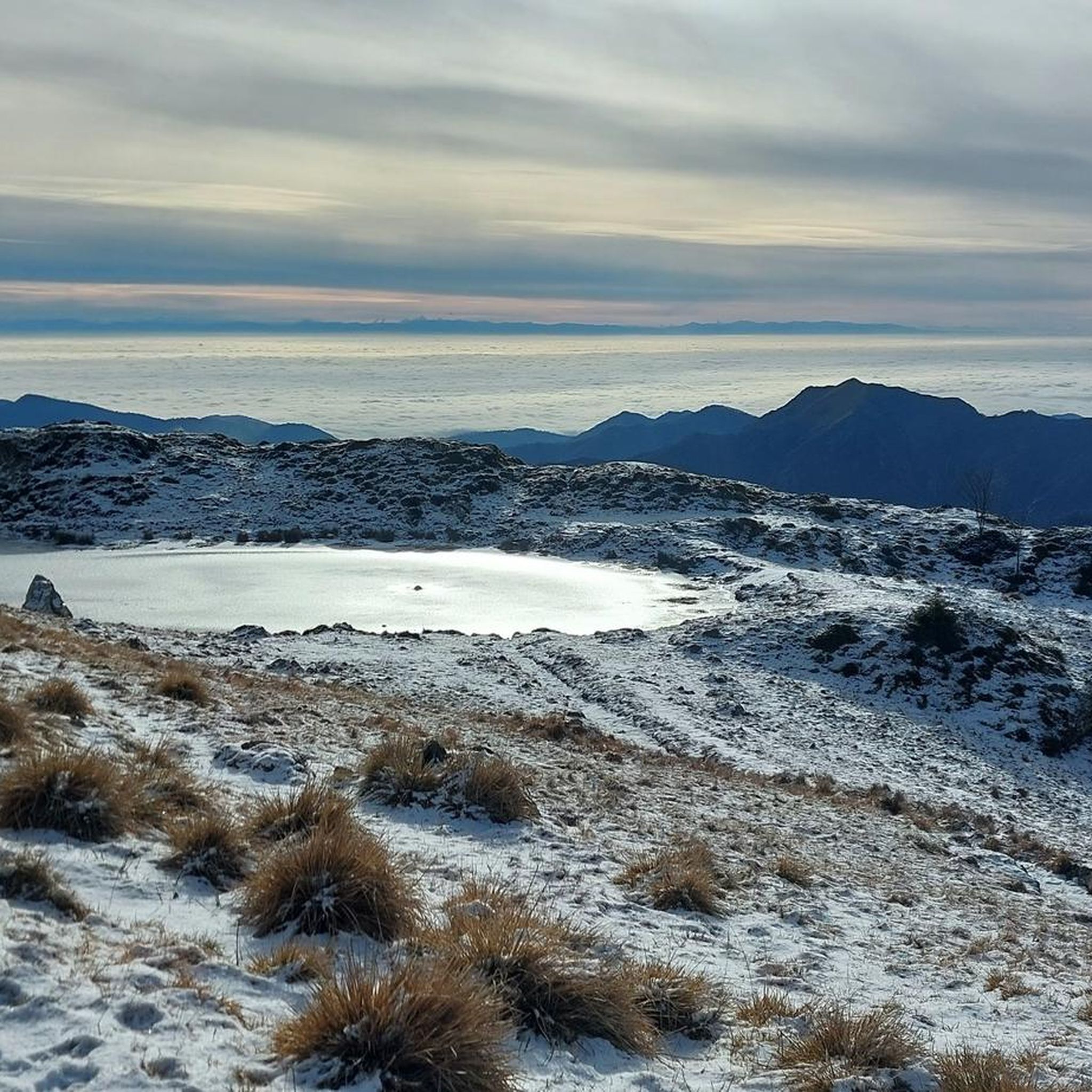
Mountaineering routes around Tavernole Sul Mella are situated in Italy's Lombardy region, specifically within the Alta Valle Trompia. This area is characterized by its diverse mountainous landscape, featuring prominent peaks like Monte Guglielmo and numerous other significant summits. The terrain includes challenging ascents, mountain passes, and varied natural features suitable for mountaineering.
Best mountaineering routes around Tavernole Sul Mella
- The most popular mountaineering route is Pozza della Tromba – Pozza del Culmet loop from Zone, a 9.7 miles (15.6…
Last updated: July 4, 2026
4.7
(7)
37
hikers
9.13km
04:18
810m
810m
Hard mountaineering route. Good fitness required. Sure-footedness, sturdy shoes and alpine experience required.
4.6
(5)
32
hikers
8.06km
05:05
980m
980m
Hard mountaineering route. Very good fitness required. Sure-footedness, sturdy shoes and alpine experience required.

Sign up for free
4.7
(6)
15
hikers
4.27km
02:10
420m
410m
Hard mountaineering route. Good fitness required. Sure-footedness, sturdy shoes and alpine experience required.
5.0
(1)
17
hikers
9.26km
03:45
520m
520m
Hard mountaineering route. Good fitness required. Sure-footedness, sturdy shoes and alpine experience required.
4
hikers
8.59km
03:18
510m
510m
Moderate mountaineering route. Good fitness required. Mostly accessible paths. Sure-footedness required.
Get access to more routes and recommendations from other explorers.
Sign up for free
Already have an account?
Our route recommendations are based on thousands of hikes, rides, and runs completed by other people on komoot.
Start today with a free account
Your next adventure awaits.
Login or Signup

Tips from the Community

Very nicely laid out via ferrata, but not necessarily suitable for beginners, difficulty D, already vertical at the start, slightly overhanging.
0
0

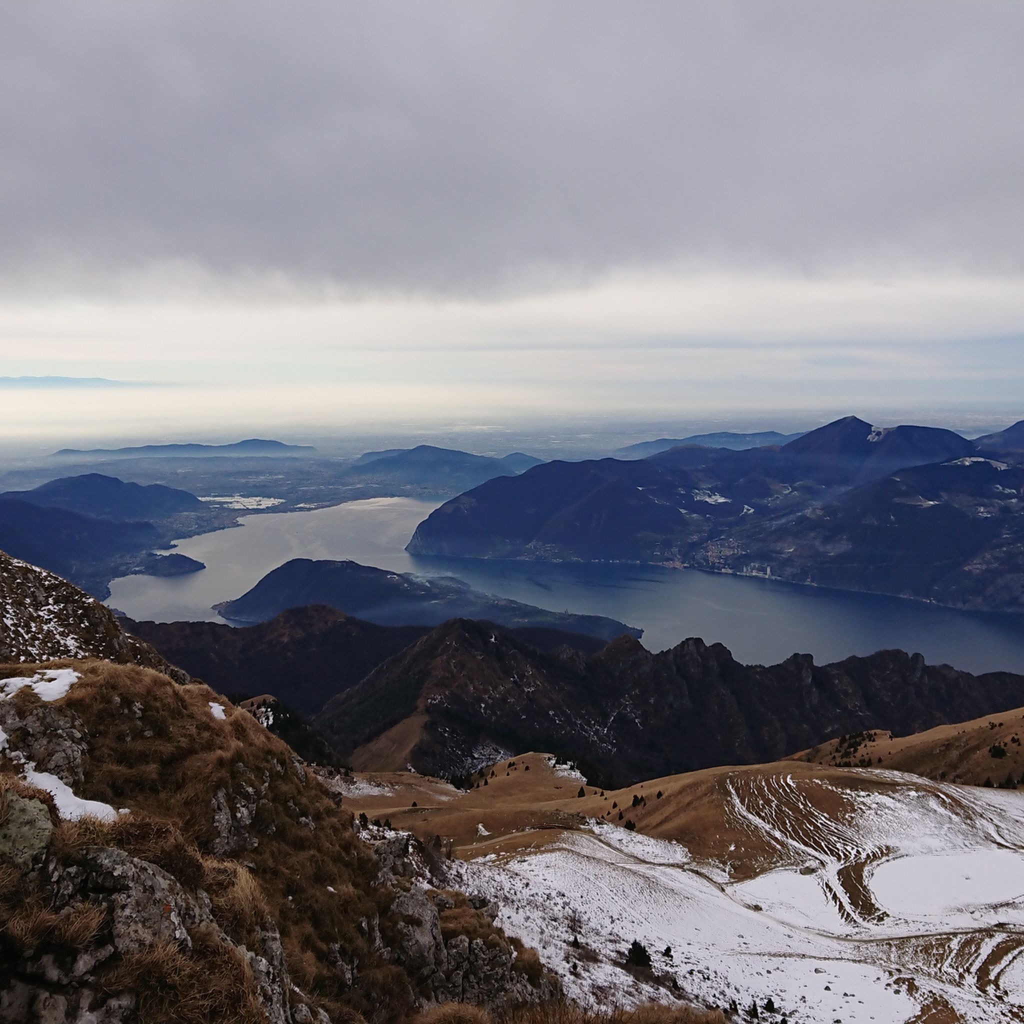
panorama on Lake Iseo and Val Trompia
0
0
The Filippo Benedetti Equipped Trail is the most technical and spectacular section for climbing Punta Almana: it starts from Forcella di Sale and reaches the ridge passing through Punta Cabrera, with short equipped sections and continuous views of Lake Iseo. 🧭 Trail Identity The Filippo Benedetti Trail is an E/EE route with some passages equipped with metal cables, but it is not a via ferrata. It is a historic trail dedicated to Filippo Benedetti, a central figure in the Gruppo Amici della Montagna of Sale Marasino. The sources confirm that the route: starts from Portole and climbs to Forcella di Sale (approx. 1h) takes trail 3V / 314 beyond the pass turns right and begins the equipped section towards Punta Cabrera continues along the ridge to the summit of Punta Almana (1390 m) 🥾 Technical Description of the Route 1) Portole → Forcella di Sale Steep mule track, cobbled and then cemented About 1h of determined climbing 2) Entrance to the Benedetti Trail At the Forcella, cross a fence and follow the meadow with white-blue trail markers. The trail immediately becomes steep, rocky, and exposed in some places. The sources describe it as: sections equipped with cable diagonal ledge on grassy-earthy ground rocky gully where you can climb even without a rope if experienced 3) Punta Cabrera → Almana Ridge After Punta Cabrera, you face an exposed traverse and a final equipped gully. Once the equipment ends, you emerge onto the ridge, with a direct view of the summit cross. The ridge is scenic but requires a sure footing. 4) Punta Almana Summit (1390 m) The cross is reached in a few minutes. Exceptional panorama over Sebino, Guglielmo, Orobie, and Val Trompia. ⛰️ Recommended Descent The classic descent is along the ridge towards the Croce di Pezzolo, then return to Portole via Pezzolo/Osteria Pastina. The Almana → Pezzolo section is steep and rocky, classified as EE in technical sources.
0
0
path connecting Punta Almana to the forcella di sale
0
0


Beautiful via ferrata of medium difficulty. Even where there are no artificial holds, the rock usually offers nice pockets. I honestly preferred to do it with climbing shoes since it develops entirely vertically.
0
0


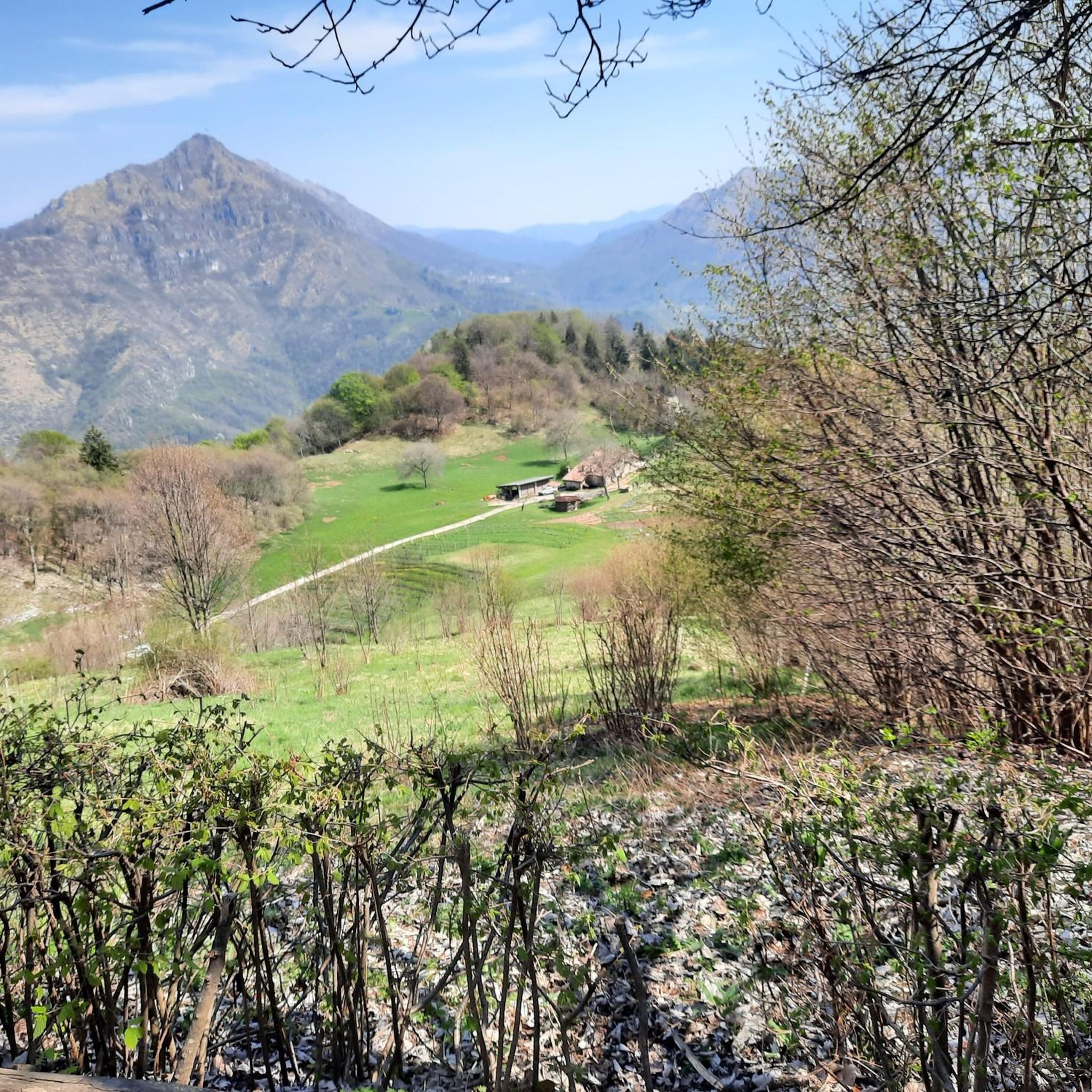
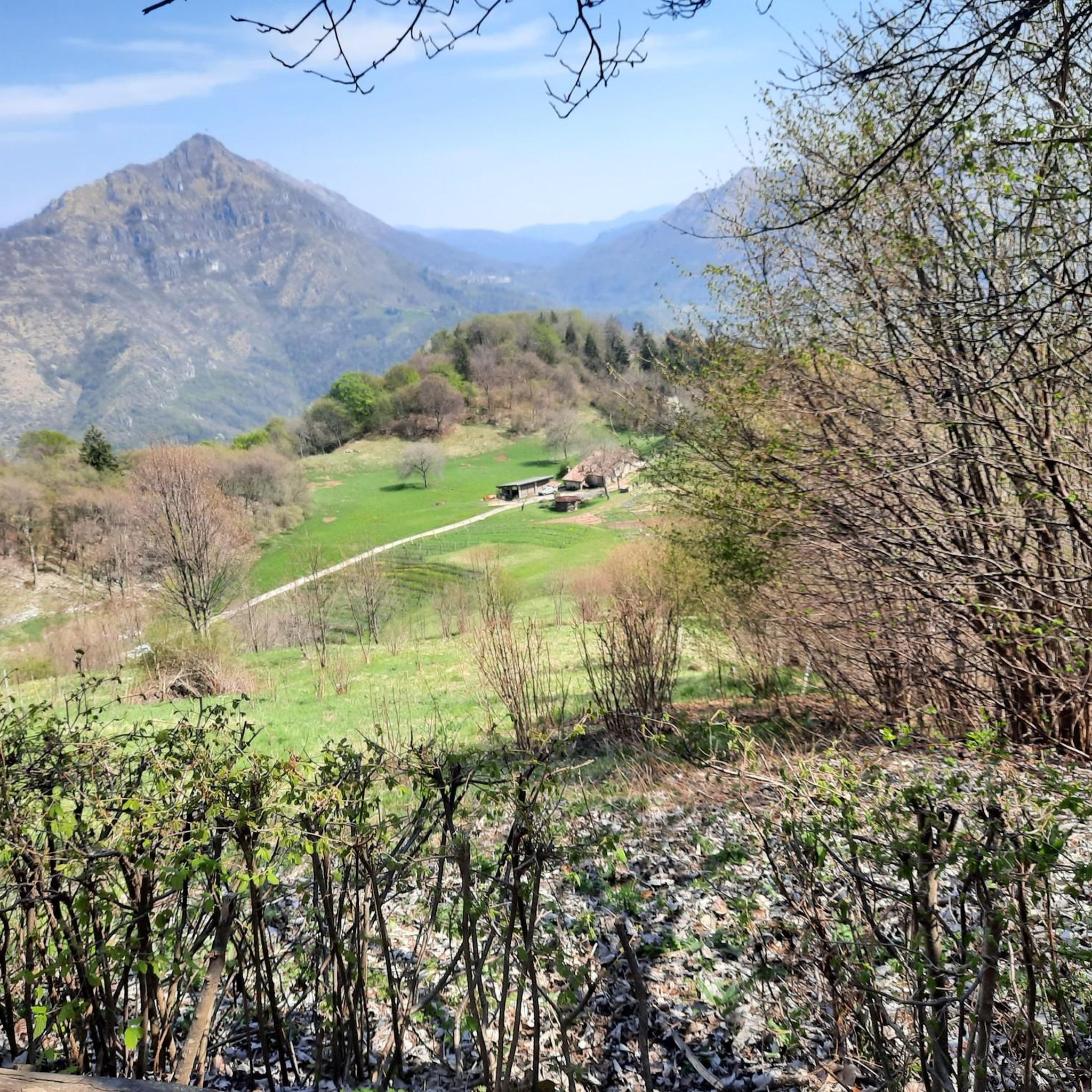
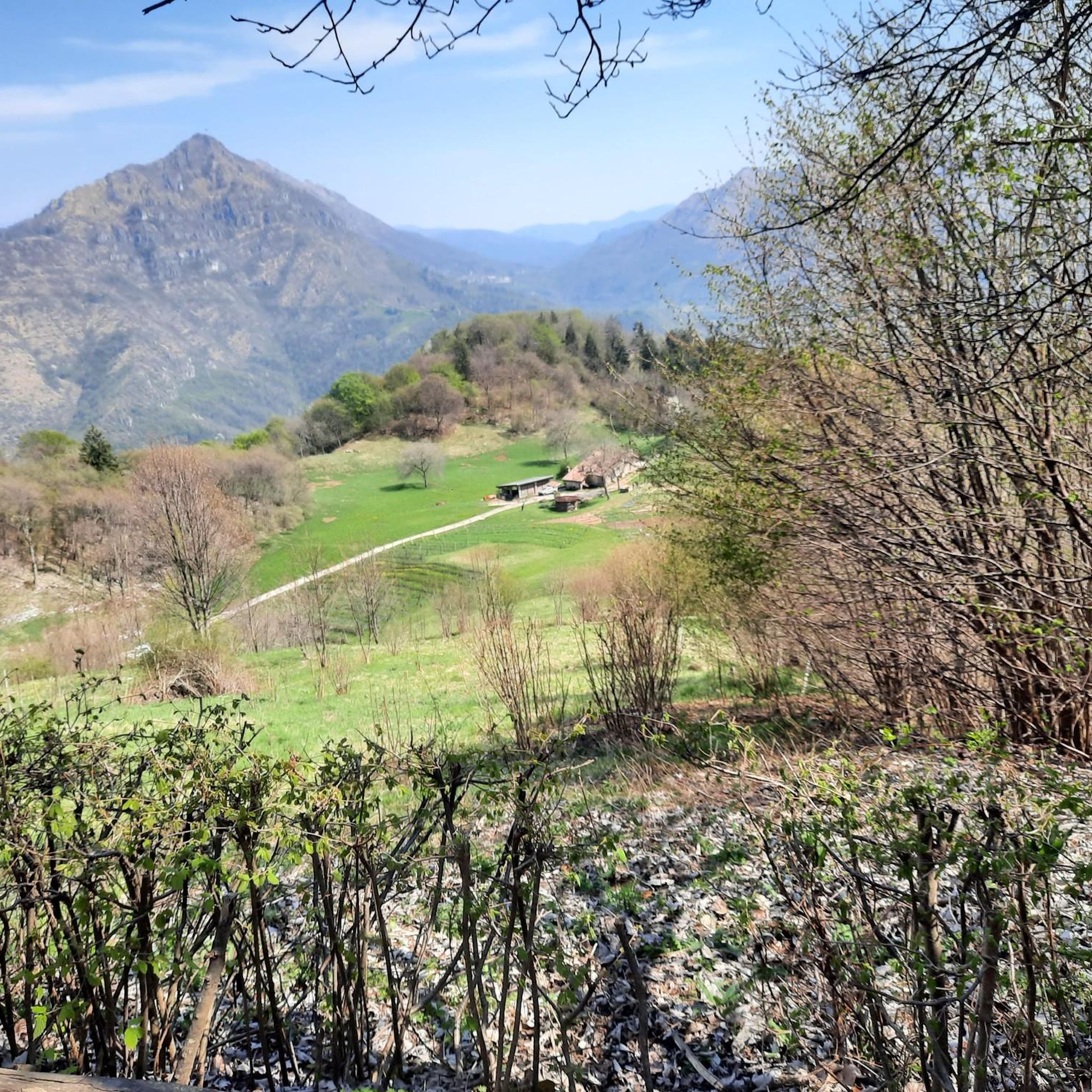
Zone is a delightful old village with a bar and small grocery store. There are also a few restaurants. Be sure to visit the Pizza World Champion!
0
0
Frequently Asked Questions
What is the overall difficulty level of mountaineering routes around Tavernole Sul Mella?
The mountaineering routes in Tavernole Sul Mella primarily cater to experienced adventurers. Out of approximately 20 routes, 15 are rated as difficult, while 5 are moderate. There are no easy routes available for mountaineering in this area.
Are there any circular mountaineering routes in the area?
Yes, several routes offer a circular experience. For a challenging loop, consider the Pozza della Tromba – Pozza del Culmet loop from Zone, which is 15.6 km long. Another option is the Via Ferrata Corna delle Capre loop from Zone, a 9.3 km difficult trail.
What are some notable natural features or landmarks I might encounter on these routes?
The region is rich in natural beauty. Many routes offer views of Monte Guglielmo, a prominent peak known for its Redeemer monument and breathtaking 360-degree panoramic views. You might also encounter the Caregno Plateau, dolines, and various mountain passes. The area also features lakes, natural monuments, and even waterfalls, though specific routes to these are not detailed here.
Are there any via ferrata routes for mountaineers seeking a technical challenge?
Yes, for those looking for a technical mountaineering experience, the Via Ferrata Caspai – Notable section loop from Lodrino is a difficult 4.3 km path that includes a via ferrata section.
What do other mountaineers say about the routes in Tavernole Sul Mella?
The mountaineering routes around Tavernole Sul Mella are highly regarded by the komoot community, holding an impressive average rating of 4.9 stars from over 30 reviews. Mountaineers often praise the challenging ascents, diverse terrain, and the rewarding panoramic views from peaks like Monte Guglielmo.
Are there any routes that lead to Monte Guglielmo?
Yes, you can reach Monte Guglielmo on several routes. A moderate option is the Pozza dell'Angelo – Monte Guglielmo loop from Croce di Marone, which is 11.2 km. For a longer, more difficult ascent, consider the Pozza dell'Angelo – Monte Guglielmo loop from Riserva Naturale Piramidi di Zone, spanning 20.4 km.
Are there any huts or refuges along the mountaineering routes for breaks or overnight stays?
Yes, the area around Tavernole Sul Mella has several huts that can serve as resting points. Notable options include the Santa Maria del Giogo mountain hut and sanctuary, Dosso Rotondo Hut, and Malga Guglielmo di Sopra. These can be great places to refuel or find shelter.
What is the best time of year for mountaineering in this region?
The Alta Valle Trompia offers diverse activities throughout the year. For mountaineering, the warmer months from late spring to early autumn generally provide the most favorable conditions with less snow and more stable weather. However, some areas might be suitable for snowshoeing or winter mountaineering during colder periods, depending on conditions and experience.
Are there other outdoor activities or attractions near the mountaineering routes?
Beyond mountaineering, the region offers a variety of outdoor pursuits. You can find bike parks like Parco delle Fucine di Casto, or explore scenic trails such as the Panoramic Trail above Lake Iseo. The area also features a 'cultural bike hallway' along the Mella river, offering a scenic cycling path.
How many mountaineering routes are available around Tavernole Sul Mella?
There are approximately 20 mountaineering routes available around Tavernole Sul Mella, offering a range of challenges primarily for moderate to difficult skill levels.
Is public transport available to reach the trailheads?
While specific public transport details for each trailhead are not provided, Tavernole Sul Mella is situated in the Alta Valle Trompia, which is generally accessible. For detailed information on reaching specific starting points, it's advisable to consult local transport schedules or regional tourism resources like visitvalletrompia.it.
Most popular routes around Tavernole Sul Mella
Most popular attractions around Tavernole Sul Mella

Get inspired with the komoot mobile app


Explore more
Browse the best Mountain Hikes & Routes in other regions.
