The best cycling routes around Micigliano
4.6
(35)
902
riders
65
rides
Touring cycling around Micigliano offers challenging routes through a mountainous landscape in the Apennine range. The region is characterized by significant elevation changes, lush forests, and views of prominent peaks like Mount Terminillo and the dramatic Velino Gorges. Cyclists can expect a mix of paved and unpaved roads, providing a demanding experience for those seeking climbs and varied terrain.
Best touring cycling routes around Micigliano
- The most popular touring cycling route is Sentiero Italia CAI Cycle Route, a 27.8…
Last updated: July 7, 2026
4.5
(2)
42
riders
44.8km
03:33
1,310m
1,310m
This difficult 27.8-mile touring cycling route from Pian de' Valli to Leonessa offers challenging climbs and stunning views of Monte Termini
4.7
(3)
34
riders
17.9km
01:20
380m
380m
Moderate bike ride. Good fitness required. Mostly paved surfaces. Suitable for all skill levels.

Sign up for free
18
riders
Moderate bike ride. Good fitness required. Mostly paved surfaces. Suitable for all skill levels.
16
riders
33.5km
03:34
1,030m
1,030m
Hard bike ride. Very good fitness required. Mostly paved surfaces. Suitable for all skill levels.
14
riders
30.9km
02:46
910m
910m
Hard bike ride. Very good fitness required. Mostly paved surfaces. Suitable for all skill levels.
Get access to more routes and recommendations from other explorers.
Sign up for free
Already have an account?
Our route recommendations are based on thousands of hikes, rides, and runs completed by other people on komoot.
Start today with a free account
Your next adventure awaits.
Login or Signup
Tips from the Community

sustained 10% climbing but lovely quite roads with little traffic
0
0

The bar looks good with the two tarts. Last stop before reaching the top
0
0

cuz b or ii b ii on ii or on k jo or on b or ird ii on iii or ok ok ii in ii
0
0

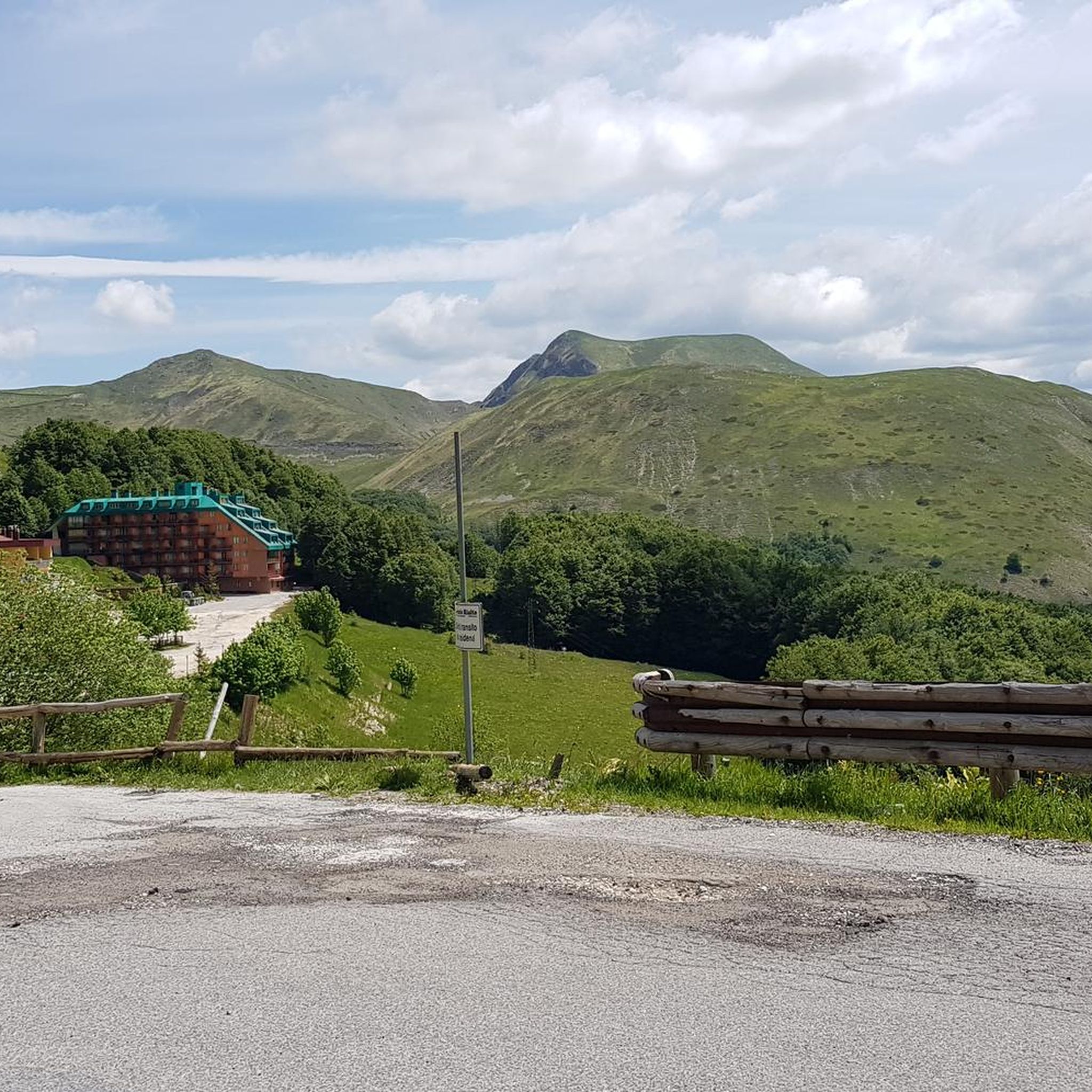
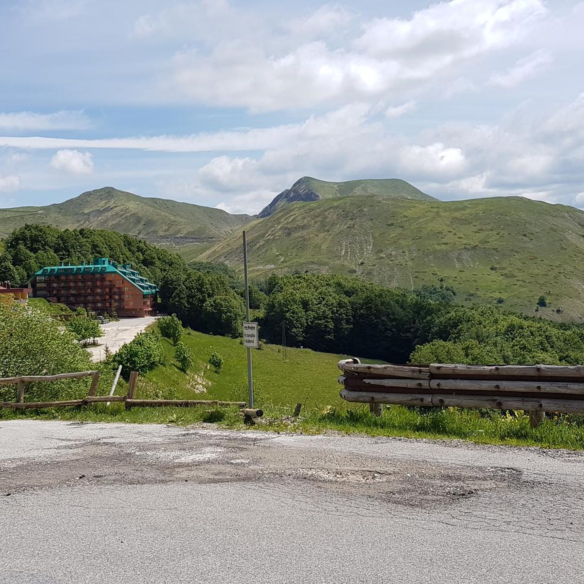
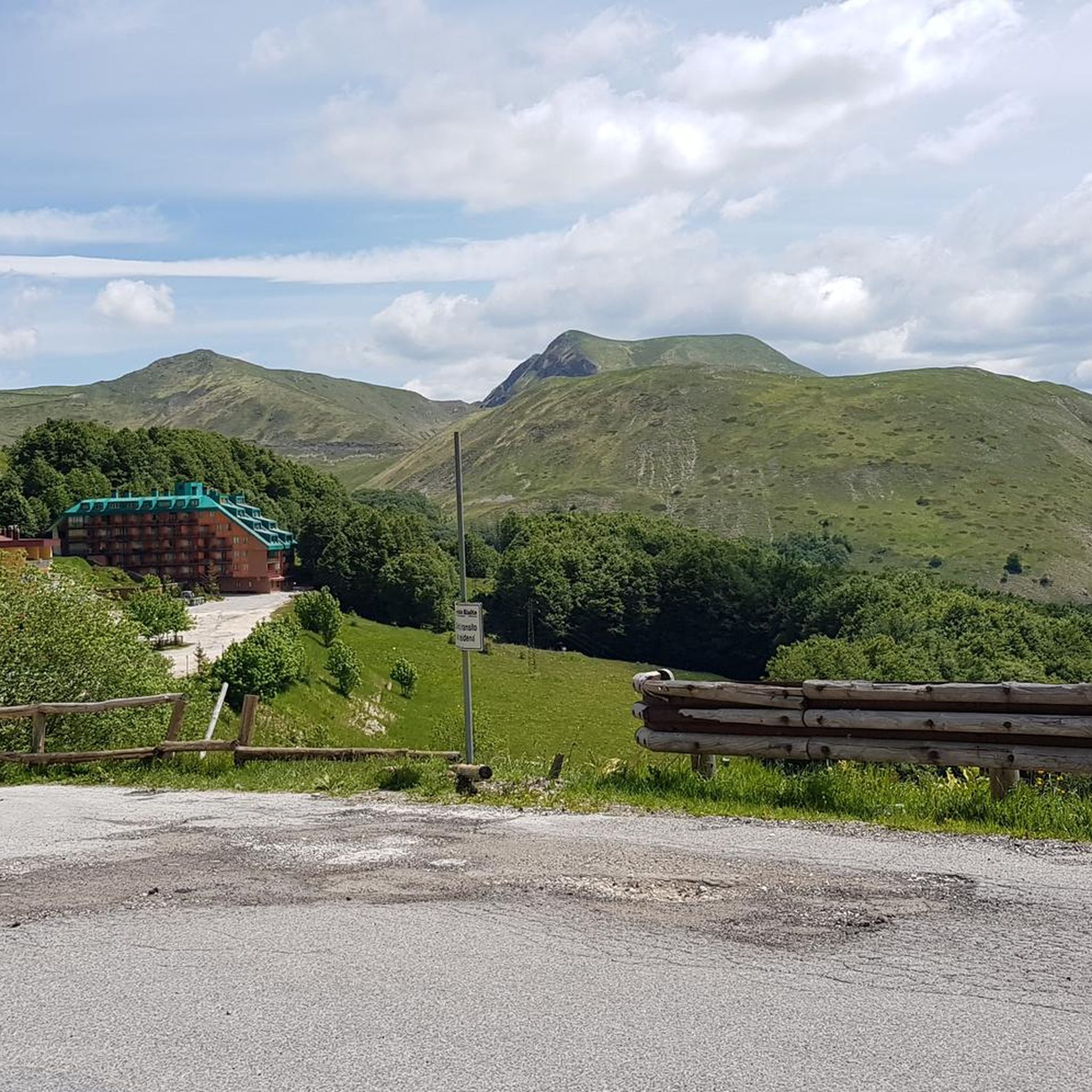
The town of Pian de’ Valli, is located in the municipality of Rieti, stands at the foot of Terminillo, at an altitude of 1620 meters, hosts many accommodation and commercial activities, and the departure station of the ski lifts is located a few steps from the center. The famous Terminillo cable car is still in operation today both in the winter and summer seasons and is the historical symbol of Pian de’ Valli.
2
0

Romanesque fountain located in Piazza Umberto I The three spouts symbolize the three castles linked to the village and the three mountains that surround it. It bears the Farnese coat of arms.
0
0
A jewel of medieval art, recognized as a National Monument, it is located just outside the town center, next to the current Salaria.
0
0

Panorama on the north-east side of Terminillo
0
0

Great place for a stop: you can enjoy excellent sandwiches or stop for lunch
0
0
Frequently Asked Questions
How many touring cycling routes are available around Micigliano?
There are over 60 touring cycling routes around Micigliano, offering a wide range of experiences. The majority, 48 routes, are classified as difficult, with 16 moderate and 2 easy options available.
What kind of terrain can I expect on touring cycling routes in Micigliano?
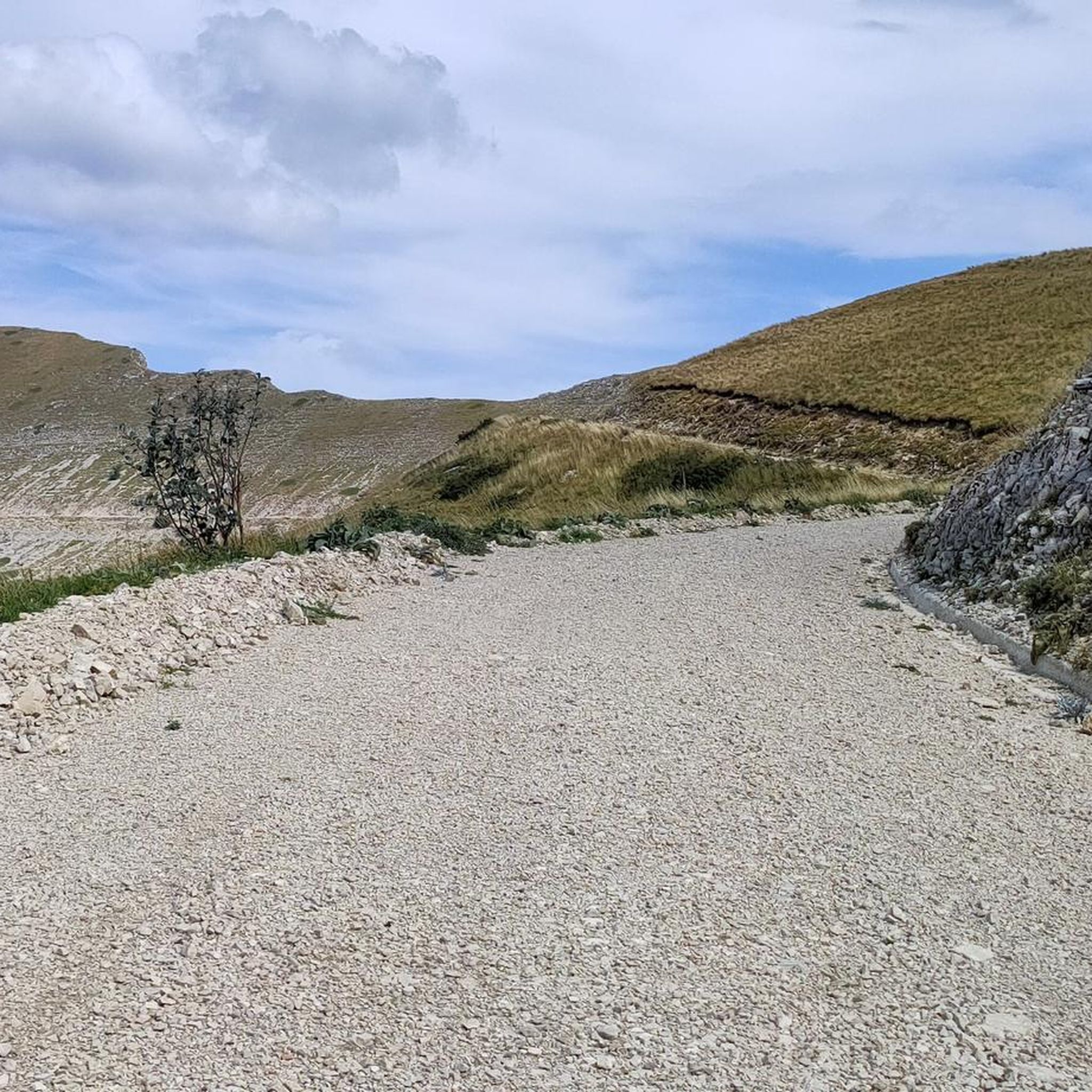
Micigliano's touring cycling routes are characterized by mountainous terrain with significant elevation changes. You'll encounter a mix of paved and unpaved roads, including challenging gravel sections, making it ideal for cyclists who enjoy demanding climbs and varied surfaces. The region is nestled on the eastern slopes of Mount Terminillo, offering a rugged and scenic environment.
Are there any easy touring cycling routes suitable for beginners or families?
Yes, while many routes are challenging, there are a few easier options. For instance, the Pian de' Valli, Terminillo – Refreshment stop on Mount Terminillo loop from Pian de' Valli is an easy 8.5 km route with a modest elevation gain, perfect for a more relaxed ride or families looking for a less strenuous experience.
Are there any routes that feature waterfalls or other natural water features?
Yes, the Antrodoco Train Station – Waterfall loop from San Quirico is a difficult 30.5 km route that specifically highlights a waterfall, offering a scenic natural attraction along your ride.
What are some notable viewpoints or scenic spots along the cycling routes?
The mountainous terrain around Micigliano offers numerous panoramic views. You can expect breathtaking 360-degree panoramas from higher elevations, encompassing the Laga mountains, the Velino/Sirente massif, and even Gran Sasso on clear days. Specific highlights include Scenic Viewpoint Over the Valley and View of Monte Terminilletto, which are often part of longer routes.
Can I find circular touring cycling routes in Micigliano?
Many of the touring cycling routes around Micigliano are designed as loops, allowing you to start and end at the same point. Examples include the Angelo Sebastiani Hut – Sella di Leonessa loop from Pian de' Valli and the Pian de' Valli, Terminillo – Monte Cardito Summit loop from Pian de' Valli, providing convenient options for your ride.
What cultural or historical attractions can I explore near the cycling routes?
Beyond cycling, Micigliano offers several cultural and historical sites. You can visit the local Franciscan Sanctuary of Poggio Bustone, the ancient Sanctuary of Saint Mary of the Forest, or the Civic Museum of Arts and Popular Traditions in Micigliano itself, which showcases local rural life. The Abbey of SS. Quirico and Giulitta, a 10th-century Benedictine monastery, is also nearby.
What do other touring cyclists say about the routes in Micigliano?
The touring cycling routes in Micigliano are highly rated by the komoot community, with an average score of 4.3 stars from over 40 reviews. Cyclists often praise the challenging climbs, the stunning panoramic views of Mount Terminillo and the Velino Gorges, and the diverse terrain that includes both paved and unpaved sections.
Is it possible to reach Micigliano by public transport with a bike?
Information regarding public transport options to Micigliano with bikes is limited. Given its high-altitude, small village location, public transport might be infrequent or not accommodate bikes easily. It's advisable to check local bus schedules or regional train services to nearby larger towns like Rieti and then consider local connections or cycling the remaining distance.
Where can I park my car if I'm bringing my bike to Micigliano?
While specific parking areas for cyclists are not detailed, as a small village, Micigliano typically offers street parking or small public parking lots. For routes starting from specific points like Pian de' Valli, Terminillo, there are usually designated parking areas for visitors accessing the mountain trails. It's recommended to look for available parking upon arrival in the village or at the starting point of your chosen route.
What is the best season for touring cycling in Micigliano?
Given Micigliano's altitude of approximately 1000 meters and its mountainous terrain, the best season for touring cycling is generally from late spring to early autumn (May to October). During these months, the weather is more stable, and the higher passes are free of snow. Winters can be cold with snow, making many routes challenging or impassable for touring bikes.
Are there any specific routes recommended for experienced touring cyclists seeking a challenge?
Absolutely. The region is known for its challenging climbs. A standout route for experienced cyclists is the ascent of Monte Valloni via Micigliano, which is a demanding 16.4 km climb with a significant elevation gain of 1270 meters and an average gradient of 7.7%. The upper sections feature double-digit gradients and partially unpaved surfaces, making it ideal for mountain or gravel bikes. Another challenging option is the Sentiero Italia CAI Cycle Route, a difficult 44.8 km trail with over 1300 meters of elevation gain.
Most popular attractions around Micigliano

Get inspired with the komoot mobile app


Explore more
Browse the best Cycling routes in other regions.
