The best walks and hikes around Micigliano
4.7
(371)
1,878
hikers
32
hikes
Hiking around Micigliano offers access to diverse landscapes within the Apennine mountains. The region is characterized by the prominent Mount Terminillo massif, which provides panoramic views from its 2,216-meter summit. Hikers can also explore the dramatic canyon landscapes of the Gole del Velino and varied terrain suitable for different fitness levels. Situated at an approximate altitude of 1000 meters, Micigliano serves as a gateway to these natural features.
Best hiking trails in Micigliano
- The most popular hiking route is Sassetelli…
Last updated: October 12, 2026
4.8
(98)
468
hikers
6.94km
03:15
390m
390m
Hard hike. Good fitness required. Sure-footedness, sturdy shoes and alpine experience required.
4.7
(35)
154
hikers
Moderate hike. Good fitness required. Mostly accessible paths. Sure-footedness required.

4.7
(36)
134
hikers
Moderate hike. Good fitness required. Mostly accessible paths. Sure-footedness required.
4.6
(28)
146
hikers
4.11km
02:26
430m
430m
Moderate hike. Good fitness required. Mostly accessible paths. Sure-footedness required.
4.7
(9)
80
hikers
8.98km
02:49
300m
300m
Moderate hike. Good fitness required. Mostly accessible paths. Sure-footedness required.
Get access to more routes and recommendations from other explorers.
Already have an account?
Our route recommendations are based on thousands of hikes, rides, and runs completed by other people on komoot.
Start today with a free account
Your next adventure awaits.
Tips from the Community

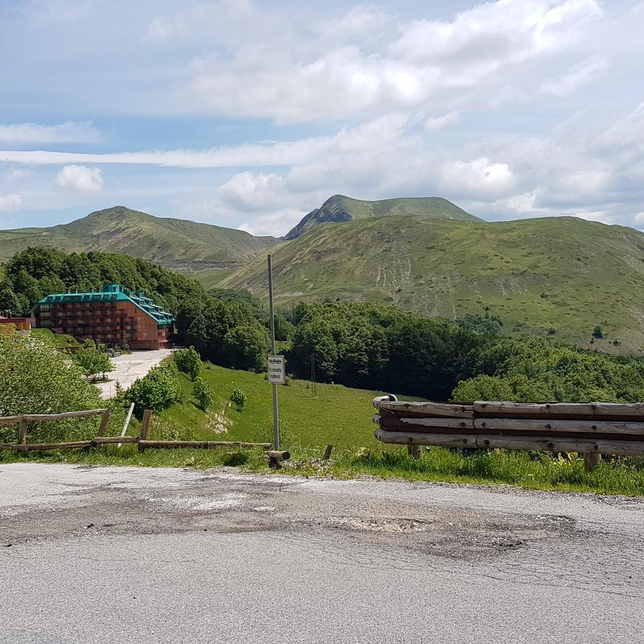
A climb that has little to envy of the Alpine passes. The Terminillo is majestic, tackled from the Leonessa side the ascent is at times harsh, the landscape changes several times during the climb, up to the last part that reveals the most mountainous landscapes. The descent towards Vezia is very long and quite challenging, but leaves the feeling of having done something truly beautiful for a cyclist. To be tried, if well trained
0
0

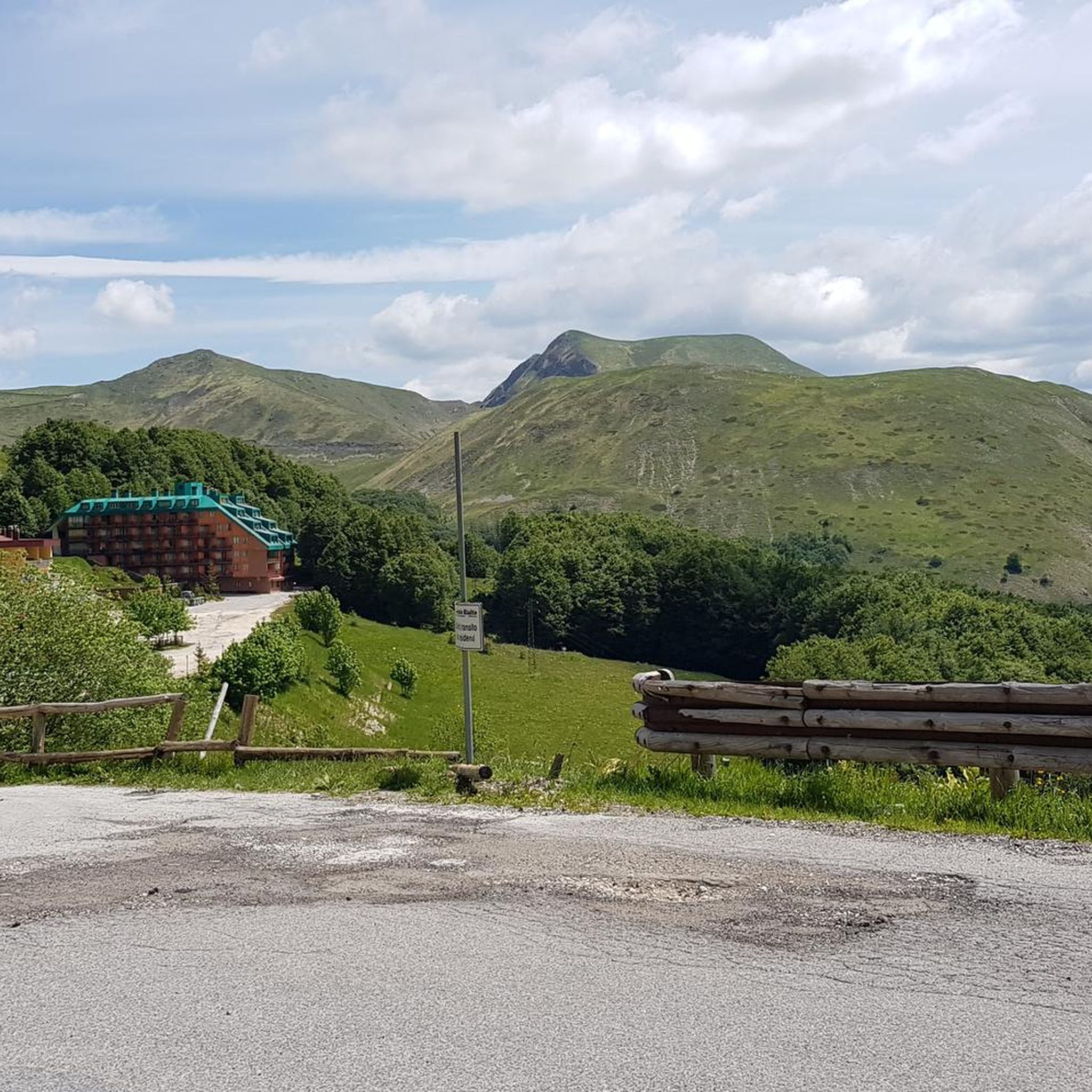
Splendid view of Gran Sasso from the Rinaldi refuge
1
0

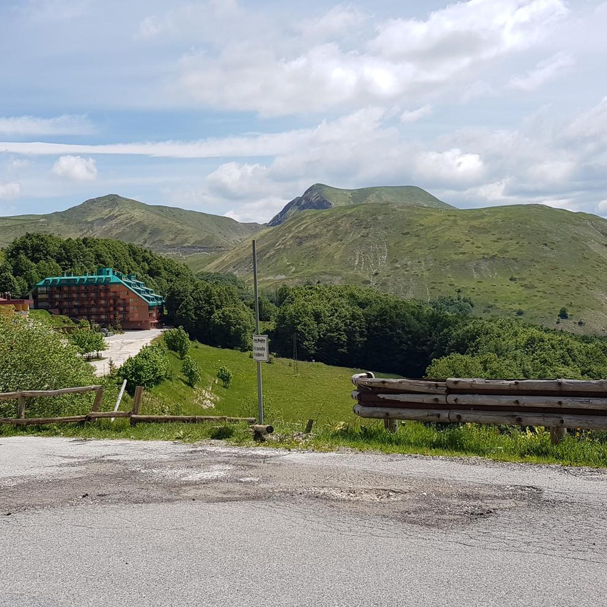
Breathtaking view and interesting passage on rocks to get there, coming from Terminillo.
0
0


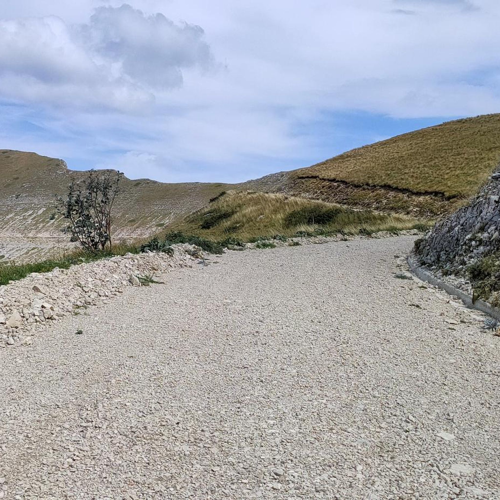
From the summit of Mount Terminillo, 2,216 meters, you can enjoy a breathtaking 360-degree panorama. You can admire the crests of Mount Elefante, Mount Brecciaro, Mount Valloni, Corno Grande, the Laga mountains, the Velino/Sirente massif, and on clear days even Mount Vettore and Gran Sasso. The view of the valleys below is fantastic, and from the highest point, it offers a unique panorama of the Sassetelli ridge, Mount Terminelletto, and the narrow saddle connecting the two peaks. On clear days, the view allows you to glimpse the magnificent mountains of the Central Apennines and the Gran Sasso.
1
0
From the summit of Mount Terminillo, at 2,216 meters, you can enjoy a breathtaking 360-degree panorama. You can admire the crests of Mount Elefante, Mount Brecciaro, Mount Valloni, Corno Grande, the Laga mountains, the Velino/Sirente massif, and on clear days even Mount Vettore and Gran Sasso. The view of the valleys below is spectacular; from the summit, you can admire the spectacular Sassetelli ridge and the ridge leading to Mount Terminelletto, as well as the magnificent mountains of the Central Apennines and the Sibillini Mountains.
2
0
A journey through the clouds
3
0
Frequently Asked Questions
What types of hiking trails can I find around Micigliano?
Micigliano, situated at about 1000 meters altitude, offers a diverse range of hiking trails within the Apennine mountains, catering to various fitness levels. You'll find everything from easy paths with modest elevation gains to challenging alpine routes, particularly around the Mount Terminillo massif. The region features dramatic canyon landscapes of the Gole del Velino and ancient mule tracks, providing varied terrain for exploration. In total, there are over 30 routes available, including 1 easy, 22 moderate, and 9 difficult trails.
Are there any easy hiking trails suitable for beginners or families in Micigliano?
Yes, while many trails explore the mountainous terrain, Micigliano does offer easier, accessible paths suitable for all skill levels, including families. These typically have durations up to 2 hours and around 300 meters of elevation gain. For a moderate option that is well-regarded, consider the Scenic Viewpoint Over the Valley – Rifugio Massimo Rinaldi loop from Pian de' Valli, which is about 9 km long with a 550-meter elevation gain.
What are the most scenic viewpoints or natural landmarks to see while hiking near Micigliano?
The region is rich in stunning natural features. From the 2,216-meter summit of Mount Terminillo, you can experience breathtaking 360-degree panoramas, including the crests of Mount Elefante, Mount Brecciaro, Mount Valloni, Corno Grande, and the Gole del Velino. The Scenic Viewpoint Over the Valley is another popular spot for expansive views. The Sassetelli ridge and the ridge leading to Mount Terminelletto also offer spectacular mountain scenery.
Can I find circular hiking routes in the Micigliano area?
Yes, many of the trails around Micigliano are designed as loops, allowing you to start and end at the same point. Examples include the challenging Sassetelli Summit – Sella di Vall’Organo loop from Monte Terminillo, and the moderate Rifugio Massimo Rinaldi – Scenic Viewpoint Over the Valley loop from Monte Terminillo. These circular routes offer diverse landscapes and return you to your starting point.
What is the best time of year to go hiking in Micigliano and Mount Terminillo?
The best time to hike in Micigliano and Mount Terminillo generally depends on the desired experience. Spring and autumn offer pleasant temperatures and vibrant scenery, ideal for most trails. Summer provides warmer conditions, suitable for higher altitude routes. Winter hiking is possible, especially on lower trails, but requires appropriate gear and experience for the snow-covered mountain paths.
Are there any cultural or historical sites to visit near the hiking trails in Micigliano?
Beyond the natural beauty, Micigliano offers cultural and historical points of interest. You can visit the Church of San Lorenzo Martire and the Abbey of SS. Quirico and Giulitta along the ancient Via Salaria. The Civic Museum of Arts and Popular Traditions also provides insight into the rural life of Micigliano through its collection of tools and furniture, offering a well-rounded experience alongside your hikes.
What do other hikers say about the trails in Micigliano?
The hiking routes in Micigliano are highly rated by the komoot community, with an average score of 4.7 stars from over 330 reviews. Hikers often praise the diverse terrain, the breathtaking panoramic views from Mount Terminillo, and the variety of trails available for different skill levels. Over 1800 hikers have used komoot to explore the area, indicating its popularity and appeal.
Are there any specific challenges or considerations for hiking in the Micigliano region?
Hiking in the Micigliano region, especially on Mount Terminillo, can present challenges. Some routes, like the Sassetelli Summit – Sella di Vall’Organo loop, are classified as difficult and require good fitness, sure-footedness, sturdy shoes, and alpine experience. Even moderate trails can involve significant elevation gains. Always check the difficulty and conditions of a route before setting out, and be prepared for varied mountain weather.
Where can I find information about parking for hikers in Micigliano?
While specific parking locations for every trailhead are not detailed here, areas like Pian de' Valli, which serves as a starting point for several routes including the La Fossa Hut – Terminillo Loop, typically offer parking facilities for hikers. It's advisable to check local signage or specific route descriptions on komoot for precise parking information at your chosen trailhead.
Are there any places to eat or stay near the hiking areas in Micigliano?
Micigliano and the surrounding areas, particularly around Mount Terminillo, offer options for refreshments and accommodation. You'll find rifugi (mountain huts) along some routes, such as Rifugio Massimo Rinaldi, which can provide a place to rest and eat. The town of Micigliano itself, and nearby settlements like Pian de' Valli, may have cafes, pubs, or restaurants, as well as various accommodation choices for hikers.
What kind of wildlife or natural products can I expect to encounter in the Micigliano area?
The natural environment around Micigliano is characterized by rich flora and fauna. Hikers can enjoy the diverse biodiversity of the Apennine mountains. The area is also known for genuine local products such as truffles, chestnuts, mushrooms, and various cheeses, reflecting its natural bounty and traditional rural life.
Is public transport available to reach Micigliano or the trailheads?
While Micigliano is accessible, public transport options to reach the town itself or specific trailheads might be limited, especially for more remote mountain starting points. It's recommended to research local bus schedules or consider private transport for greater flexibility when planning your hiking trips in the region. For general information about the region, you may find details on Visit Lazio.
Most popular attractions around Micigliano

Get inspired with the komoot mobile app


Explore more
Browse the best Hikes in other regions.
