The best road cycling routes around San Pietro In Guarano
4.4
(106)
2,830
riders
150
rides
Road cycling around San Pietro In Guarano features diverse landscapes, from the Sila plateau to routes offering views of Lake Tarsia. The region is characterized by varied topography, including significant ascents and descents, providing engaging terrain for cyclists. Well-paved surfaces traverse through olive groves and forests, connecting to the broader Sila region and its national parks. Cyclists can explore routes with elevations ranging from gentle hills to challenging climbs.
Best road cycling routes around San Pietro In Guarano
- The most…
Last updated: July 7, 2026
11
riders
124km
06:30
2,170m
2,170m
Hard road ride. Very good fitness required. Mostly well-paved surfaces and easy to ride.
4
riders
56.8km
03:47
1,730m
1,730m
Hard road ride. Very good fitness required. Mostly well-paved surfaces and easy to ride.

Sign up for free
3.7
(6)
102
riders
92.0km
03:53
670m
670m
Moderate road ride. Good fitness required. Mostly well-paved surfaces and easy to ride.
5.0
(2)
67
riders
Moderate road ride. Good fitness required. Mostly well-paved surfaces and easy to ride.
65
riders
48.0km
02:00
310m
310m
Moderate road ride. Good fitness required. Mostly well-paved surfaces and easy to ride.
Get access to more routes and recommendations from other explorers.
Sign up for free
Already have an account?
Our route recommendations are based on thousands of hikes, rides, and runs completed by other people on komoot.
Start today with a free account
Your next adventure awaits.
Login or Signup
Tips from the Community

Literary park on the remains of Italy's largest concentration camp, active from 1940 to 1944.
0
0

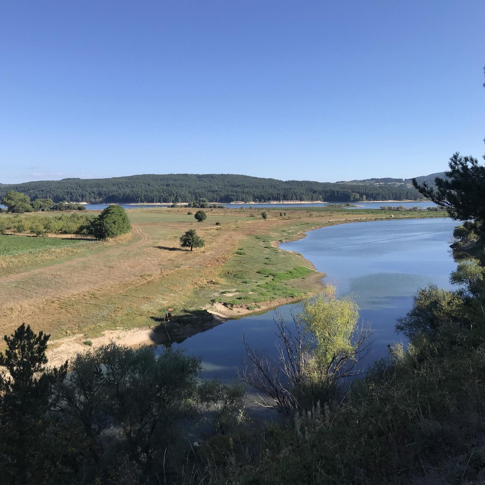
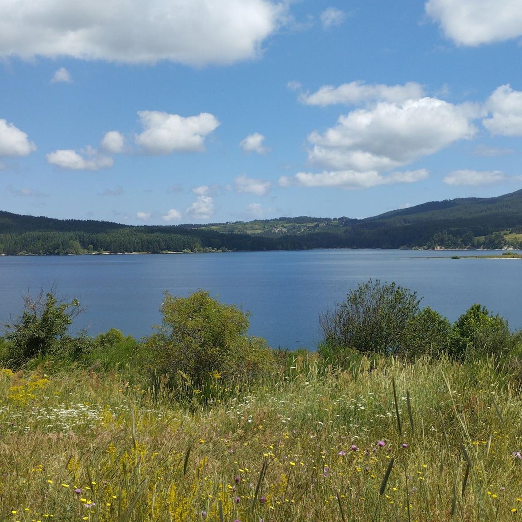
Lake Cecita is one of the artificial basins that has adapted best to the Sila landscape
0
0

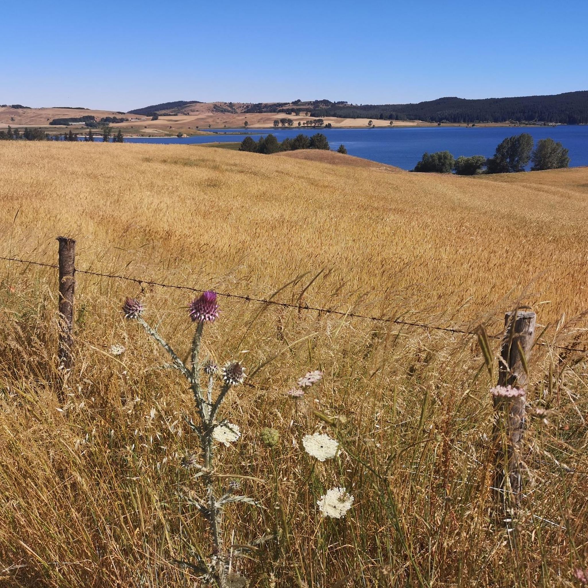
After a ride around the lake... time for some serious charging. The local Patate della Sila IGP is not only legendary in taste, but also fuel, which grows thanks to the same water you just passed. Grown right next to the trail, it ends up on your plate before you even have time to take off your helmet😅. Perfect after the kilometers you've racked up.
1
0
The Ciclovia dei Parchi della Calabria runs around the lake. Although the entire Ciclovia is considered a route for experienced cyclists due to the significant elevation gain, the lake section is characterized by a more accessible profile. The sections are dominated by flat or gentle climbs, making it suitable for cyclists with average physical fitness. The surface is mixed, alternating between asphalt and gravel sections (natural surfaces and dirt roads), typical of cycle routes immersed in nature. For this reason, a trekking, gravel or mountain bike is most suitable.
1
0
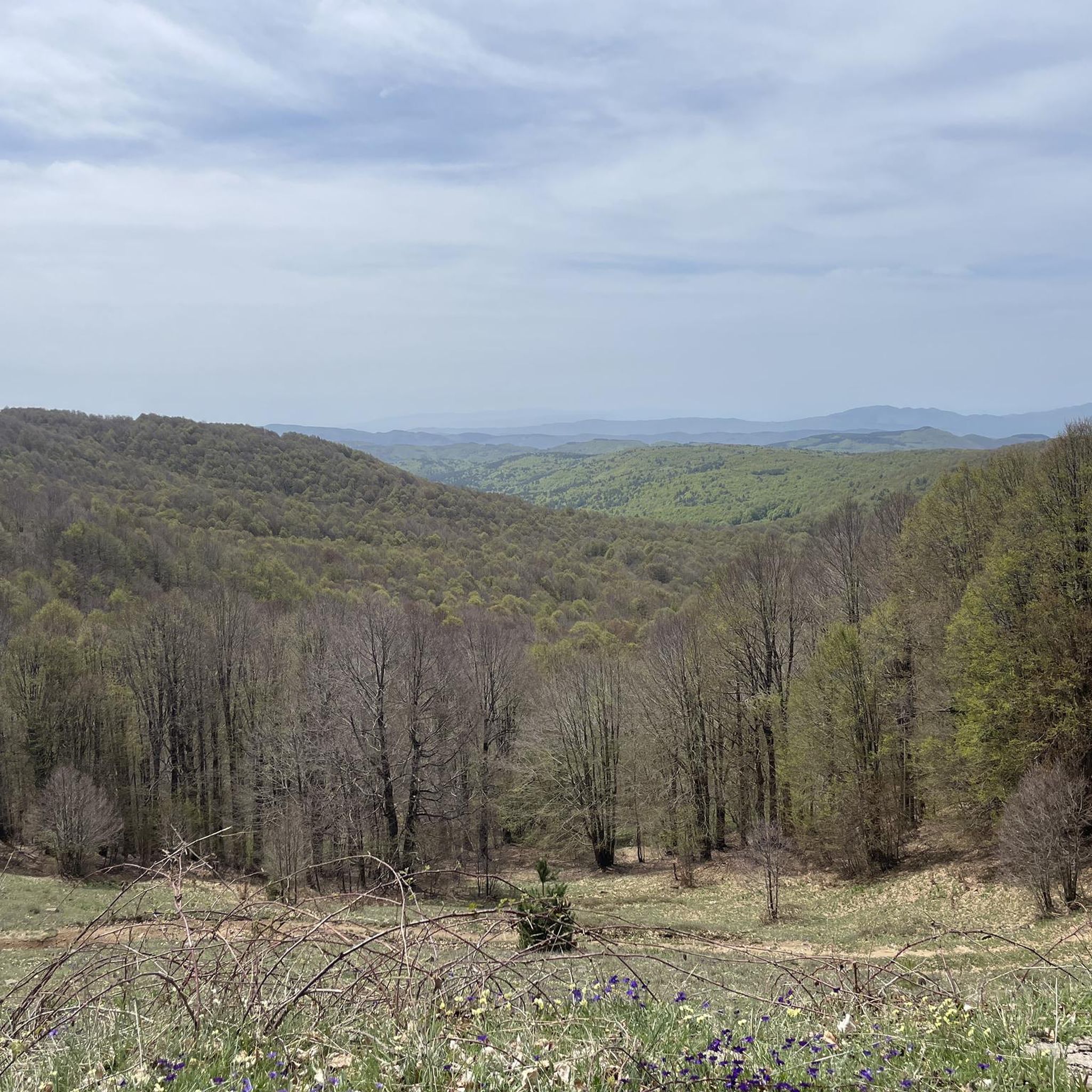
Photos from this place best reflect the natural and wild character of Lago di Cecita, whose surface is located at 1,143 meters above sea level. The forest not only does not end at the water line, but actually penetrates it. Tall conifers and lower shrubs create a dense wall of greenery, the lowest parts of which grow out of the lake's depths. It looks as if nature perfectly incorporated the body of water into the existing forest, creating a harmonious, forest-water scenery.
1
0


The road is very well asphalted and branches off well beyond Monte Scuro reaching Lorica, passing through wonderful places.
0
0

Lake Cecìta rises at an altitude of 1,143 meters and was created in the 1950s by damming the Mucone river. Located in the province of Cosenza, in Sila, it is the largest of the lakes on the Sila plateau, with a water flow of 108 million cubic metres. The lake also preserves an important archaeological heritage, which came to light at the end of the 20th century: the excavations begun in 2004 made it possible to find notable finds throughout the Mucone valley. The oldest evidence dates back to the period of Neanderthal man.
0
0
Frequently Asked Questions
How many road cycling routes are available around San Pietro In Guarano?
There are over 140 road cycling routes around San Pietro In Guarano, offering a wide variety of options for different skill levels and preferences. This includes 9 easy routes, 62 moderate routes, and 72 difficult routes.
What kind of terrain can I expect on road cycling routes near San Pietro In Guarano?
The terrain around San Pietro In Guarano is characterized by hilly landscapes and varying elevations, especially as you approach the Sila plateau. You'll find well-paved surfaces traversing through olive groves, forests, and offering significant ascents and descents. Routes can range from gentle hills with up to 1,000 feet of elevation gain to challenging climbs with over 3,000 feet.
Are there road cycling routes suitable for beginners in San Pietro In Guarano?
Yes, there are several routes suitable for beginners. While many routes feature significant elevation changes, you can find easier options. For example, the Roadbike loop from Cosenza is a moderate route with less elevation gain, offering a good starting point.
Are there challenging road cycling routes for experienced cyclists?
Absolutely. The region is well-suited for experienced cyclists seeking a challenge. Routes often feature substantial elevation changes and cover long distances. A prime example is the Hike from Cosenza to Lake Cecita along the Calabria Parks cycle path - ring tour, a difficult 124.3 km route with over 2,100 meters of ascent.
What scenic views can I expect on road cycling routes around San Pietro In Guarano?
Many routes offer breathtaking views, combining the region's biodiversity with stunning vistas. You can expect picturesque drives through olive groves, views of Lake Tarsia, and panoramic outlooks over the town of San Pietro In Guarano itself. The Sila region also provides immersive experiences through diverse natural settings, including beech and larch pine forests.
Are there any notable landmarks or attractions along the road cycling routes?
Yes, several routes pass by interesting landmarks and natural attractions. You might cycle past the Vallone delle Sette Acque forest, or through areas near Camigliatello Silano, a hub for outdoor activities in the Sila region. Some routes also offer views of Lake Tarsia or pass by historical sites like the Ernst Bernhard Literary Park.
Are there circular road cycling routes available?
Yes, many road cycling routes in the area are designed as loops, allowing you to start and end in the same location. An example is the Spezzano della Sila e Pietrafitta – loop in the Parco Nazionale della Sila, which explores the national park's terrain.
Is parking available for cyclists in San Pietro In Guarano?
While specific parking areas for cyclists are not detailed, San Pietro In Guarano and nearby towns like Cosenza, which serve as common starting points for routes, typically offer public parking facilities. It's advisable to check local parking regulations upon arrival.
Can I access road cycling routes using public transport?
Access to road cycling routes via public transport can vary. Major towns like Cosenza, which is a starting point for several routes, are generally well-connected by public transport. However, reaching more remote starting points in the Sila region might require personal transport. It's recommended to research local bus or train services for specific route access points.
Are there cafes or restaurants along the road cycling routes?
Many routes pass through or near authentic villages and settlements like Camigliatello Silano, where you can find cafes and restaurants to refuel. Exploring these local spots offers a chance to experience the region's culture and cuisine during your ride.
What do other road cyclists enjoy the most about road cycling in San Pietro In Guarano?
The area is highly rated by the komoot community, with an average score of 4.5 stars from over 60 reviews. Reviewers often praise the diverse landscapes, from the Sila plateau to routes with views of Lake Tarsia, and the engaging terrain with its varied topography. The opportunity to pedal through unspoiled nature and experience breathtaking views is frequently highlighted.
What is the best time of year for road cycling in San Pietro In Guarano?
The spring and autumn months generally offer the most pleasant conditions for road cycling in San Pietro In Guarano, with milder temperatures and less extreme weather. Summer can be warm, especially at lower elevations, while winter may bring colder temperatures and potential snow in the higher Sila regions, making it less ideal for road cycling.
Most popular routes around San Pietro In Guarano
Most popular attractions around San Pietro In Guarano

Get inspired with the komoot mobile app


Explore more
Browse the best Road cycling routes in other regions.
