The best walks and hikes around Río Guadamatilla Y Arroyo Del Tamujar
4.5
(2)
21
hikers
7
hikes
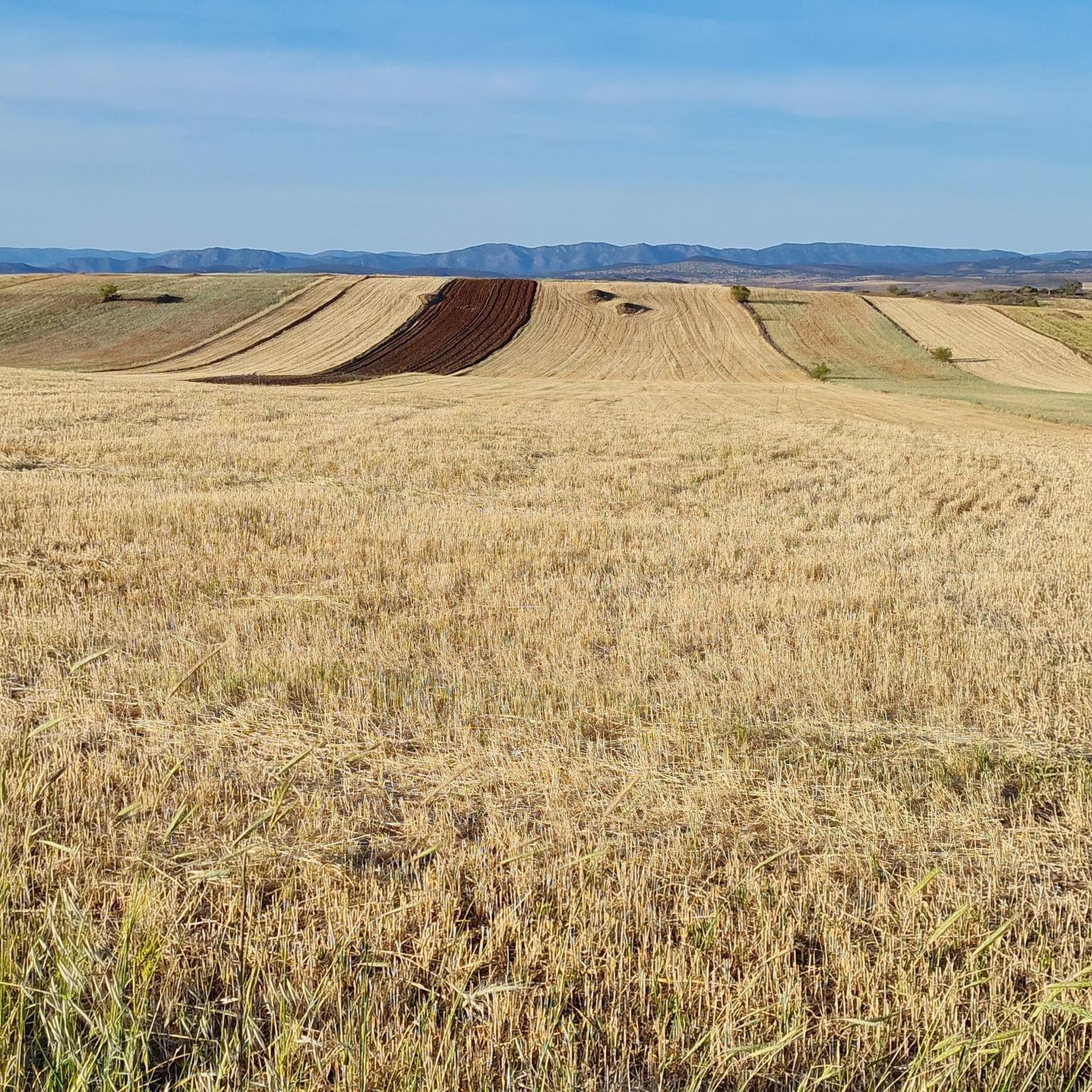
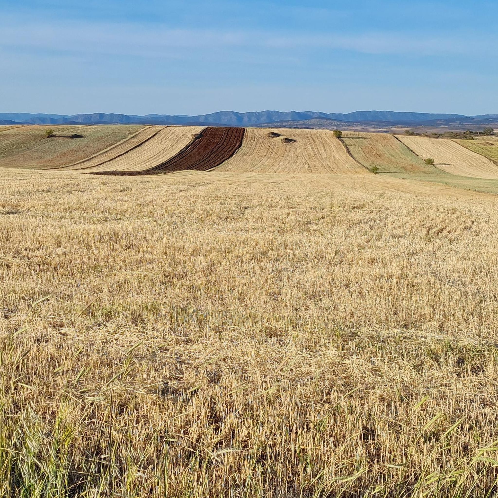
Hiking trails around Río Guadamatilla Y Arroyo Del Tamujar traverse a landscape characterized by Mediterranean vegetation, including extensive dehesas of centennial holm oaks and olive trees. The region features vibrant riparian ecosystems formed by the confluence of the Río Guadamatilla and Arroyo del Tamujar. Terrain varies from river valleys to the more rugged and steep areas of the Sierra de Santa Eufemia. This area is designated as a Zona Especial de Conservación (ZEC), highlighting its ecological value.
Best hiking trails…
Last updated: July 11, 2026
5.0
(1)
1
hikers
14.8km
04:29
490m
490m
Hike the moderate 9.2-mile Sierra de Santa Eufemia circular trail to Castillo de Miramontes for historical ruins and panoramic views.
15.8km
04:22
270m
270m
Hike the moderate 9.8-mile (15.8 km) Santa Eufemia circular trail by the río Guadalmez, offering diverse landscapes and panoramic views.

Sign up for free
8
hikers
5.15km
01:40
230m
230m
Easy hike. Great for any fitness level. Easily-accessible paths. Suitable for all skill levels.
4.0
(1)
4
hikers
11.5km
03:04
130m
130m
Moderate hike. Good fitness required. Easily-accessible paths. Suitable for all skill levels.
5
hikers
9.99km
03:02
330m
340m
Moderate hike. Good fitness required. Easily-accessible paths. Suitable for all skill levels.
Get access to more routes and recommendations from other explorers.
Sign up for free
Already have an account?
Our route recommendations are based on thousands of hikes, rides, and runs completed by other people on komoot.
Start today with a free account
Your next adventure awaits.
Login or Signup
Popular around Río Guadamatilla Y Arroyo Del Tamujar

Tips from the Community

La Puerta de la Villa de Santa Eufemia is one of the most notable remains of the municipality's old walled enclosure. This stone arch, of medieval origin, gave access to the interior of the villa and today is integrated into the urban area, preserving its historical and heritage value.
0
0

A town with history and cobblestones where you can stop to learn a little more about it and the neighbors are delighted to tell you
0
0
Once in the town of Santa Eufemia, go up to the castle with a good supply of water and calmly since it is very uneven
0
0

One of the monumental towns of the Sierra de Córdoba, which has several examples of architecture of great importance. Among them, the Castillo de los Sotomayor y Zúñiga stands out in the Gothic-military style, built in the 15th century. Thanks to its impressive Renaissance-style keep, it is the highest castle in the entire Iberian Peninsula.
3
0
A small town where there is no shortage of things to see: the Nuestra Señora de la Encarnación Parish Church from the 14th century and the Puerta de Córdoba, popularly known as "Arco or Puerta de la Villa", with its lowered horseshoe arch are the obligatory points of interest. the visit.
2
0

Sebastián de Belalcázar, founder of the colonial city of Quito, in Ecuador, was from this city. Its landscape is dominated by its imposing castle, but the old town houses other architectural jewels that are also worth visiting.
3
0
The name of this town is wrapped in the legend of the 33 Calabrian knights who helped King Alfonso VII to conquer it. This story is so ingrained that the inhabitants are called Calabrians, but there are historians who associate the place name with the later Arabic name, Sant Ufimya.
3
0
Little remains of the castle, but the "Miramontes" thing is still true. It is of Roman origin, but the remains that can be seen are from an 11th or 12th century Arab fortress. Later it was conquered by King Alfonso VII with the support of 33 Italian knights from Calabria, a place of strong veneration for Saint Euphemia. That is why the town came to be called that and its inhabitants are still called Calabrians today.
4
0
Frequently Asked Questions
How many hiking trails are available in the Río Guadamatilla Y Arroyo Del Tamujar area?
There are 7 hiking trails recorded in the Río Guadamatilla Y Arroyo Del Tamujar area on komoot. These routes offer a variety of experiences, from easy walks to more challenging moderate hikes.
What are the typical landscapes I will encounter while hiking in this region?
The region is characterized by classic Mediterranean vegetation, including extensive dehesas of centennial holm oaks and olive trees, along with dense thickets of rockrose, broom, and oleander. You'll also find vibrant riparian ecosystems along the Río Guadamatilla and Arroyo del Tamujar, and more rugged terrain in the Sierra de Santa Eufemia.
Are there any easy hiking trails suitable for beginners or a relaxed walk?
Yes, there are 2 easy trails in the area. One option is the Santa Eufemia – Miramontes Castle loop from Santa Eufemia, which is about 5.2 km long and takes around 1 hour 40 minutes to complete.
What kind of natural features or landmarks can I expect to see on the trails?
Hikers can explore remnants of an old flour mill (molino-batán harinero) and the Lanchar stream. For those venturing into the Sierra de Santa Eufemia, the ruins of Castillo de Miramontes offer historical interest and panoramic views. The protected river ecosystems themselves are a highlight, home to unique flora and fauna.
Is the Río Guadamatilla Y Arroyo Del Tamujar area suitable for family-friendly hikes?
Yes, the region offers routes with low difficulty levels, making them accessible for families. The diverse landscapes, including dehesas and riverbanks, provide engaging environments for children to explore nature. Consider the easier routes for a pleasant family outing.
Can I bring my dog on the hiking trails?
While specific regulations for dogs on trails are not detailed, the natural environment of dehesas and riverbanks generally welcomes responsible dog owners. Always ensure your dog is under control, especially given the diverse wildlife, and respect any local signage regarding protected areas or livestock.
What is the best time of year to visit for hiking?
The region is particularly appealing during the cooler months, especially winter, when thousands of cranes can be observed, making it a haven for birdwatchers. Spring and autumn also offer pleasant temperatures for hiking, with lush vegetation and comfortable conditions.
Are there any circular hiking routes available?
Yes, several circular routes are popular in the area. For example, the Sierra de Santa Eufemia and Miramontes Castle Loop is a moderate 14.8 km circular trail. Another option is the Belalcázar loop from Belalcázar, which is 11.5 km.
What kind of wildlife might I encounter while hiking?
The area is rich in wildlife, especially birds. You might spot cranes during winter, along with kites, white storks, great bustards, kestrels, and various raptors. The protected riparian ecosystems are also home to otters, the Iberian painted frog, and several fish species like the barbel comizo.
What does the designation 'Zona Especial de Conservación (ZEC)' mean for the area?
The designation as a Zona Especial de Conservación (ZEC), or Site of Community Importance (LIC), highlights the significant ecological value of the Río Guadamatilla and Arroyo del Tamujar. This protected status ensures the preservation of its unique natural features, diverse wildlife, and riparian ecosystems, making it an important area for nature conservation and responsible outdoor recreation.
Are there opportunities for more challenging hikes?
Yes, for those seeking more challenging terrain, the Sierra de Santa Eufemia, where the Arroyo del Tamujar originates, offers opportunities for moderate hikes. Routes like the Sierra de Santa Eufemia and Miramontes Castle Loop involve more elevation gain and longer distances.
What do other hikers enjoy most about the trails in Río Guadamatilla Y Arroyo Del Tamujar?
The area is highly rated by the komoot community, with an average score of 4.5 stars. Hikers often praise the diverse landscapes, from serene riverbanks to ancient holm oak dehesas, and the opportunity to connect with the rural environment and its rich biodiversity.
Most popular routes around Río Guadamatilla Y Arroyo Del Tamujar

Get inspired with the komoot mobile app


Explore more
Browse the best Hikes in other regions.
