The best MTB trails around Río Guadamatilla Y Arroyo Del Tamujar
43
riders
7
rides
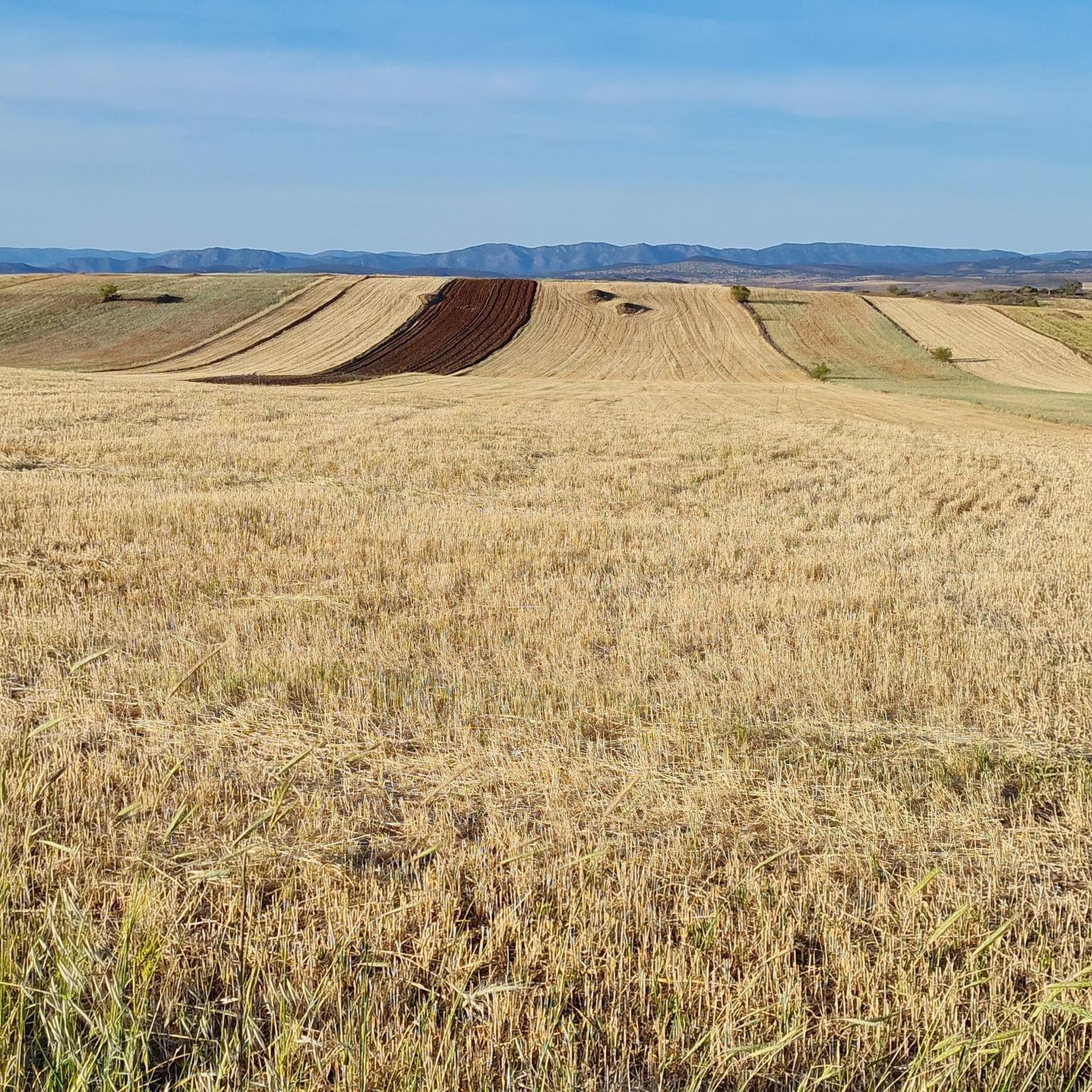
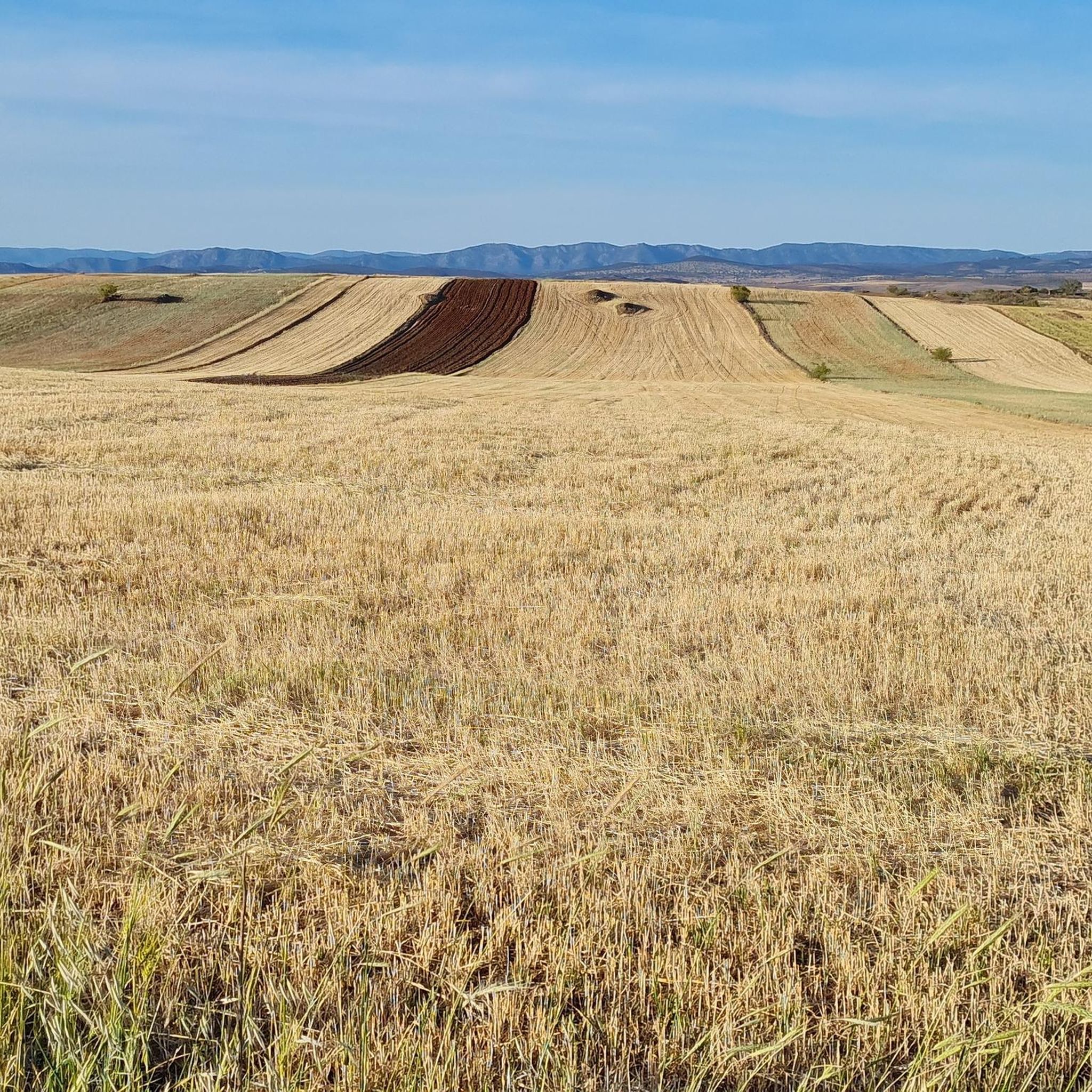
Mountain bike trails around Río Guadamatilla Y Arroyo Del Tamujar traverse a landscape characterized by rolling hills, river valleys, and extensive dehesa woodlands typical of the Sierra Morena region in Córdoba. The area offers a mix of terrain, from winding paths along the rivers to more open stretches through agricultural lands. Mountain bikers can expect varied elevations, providing both challenging climbs and scenic descents.
Best mountain bike trails around Río Guadamatilla Y Arroyo Del Tamujar
- The most popular mountain bike…
Last updated: July 16, 2026
81.4km
06:36
1,020m
1,020m
Hard mountain bike ride. Very good fitness required. Advanced riding skills necessary.
10
riders
34.2km
02:57
460m
460m
Moderate mountain bike ride. Good fitness required. Suitable for all skill levels.

Sign up for free
19
riders
52.8km
05:06
1,140m
1,140m
Hard mountain bike ride. Very good fitness required. Suitable for all skill levels.
7
riders
103km
06:50
900m
900m
Hard mountain bike ride. Very good fitness required. Suitable for all skill levels.
3
riders
67.6km
05:18
680m
680m
Hard mountain bike ride. Very good fitness required. Suitable for all skill levels.
2
riders
49.6km
03:40
440m
440m
Moderate mountain bike ride. Good fitness required. Suitable for all skill levels.
Our route recommendations are based on thousands of hikes, rides, and runs completed by other people on komoot.
Start today with a free account
Your next adventure awaits.
Login or Signup
Popular around Río Guadamatilla Y Arroyo Del Tamujar

Tips from the Community

La Puerta de la Villa de Santa Eufemia is one of the most notable remains of the municipality's old walled enclosure. This stone arch, of medieval origin, gave access to the interior of the villa and today is integrated into the urban area, preserving its historical and heritage value.
0
0
Built in the early years of the 20th century as a summer retreat for its owner, Miguel López, a priest much loved in the village for his great work and involvement in helping numerous people during the Civil War.
0
0

This is one of the stage destinations where pilgrims on the Camino Mozarabe can find accommodation for the night.
0
0

Bird and amphibian refuge in Los Pedroches. To highlight the visit of the cranes that in winter settle around this body of water.
0
0

A town with history and cobblestones where you can stop to learn a little more about it and the neighbors are delighted to tell you
0
0
Once in the town of Santa Eufemia, go up to the castle with a good supply of water and calmly since it is very uneven
0
0

The name of this town comes from the fennel that is abundant in this area. Its monuments include the church of San Juan Bautista, known as the cathedral of the mountains, the parish of San Isidro Labrador, the convent of the Conceptionist mothers and several hermitages.
2
0
One of the monumental towns of the Sierra de Córdoba, which has several examples of architecture of great importance. Among them, the Castillo de los Sotomayor y Zúñiga stands out in the Gothic-military style, built in the 15th century. Thanks to its impressive Renaissance-style keep, it is the highest castle in the entire Iberian Peninsula.
3
0
Frequently Asked Questions
How many mountain bike trails are available in the Río Guadamatilla Y Arroyo Del Tamujar area?
There are 7 mountain bike routes available in the Río Guadamatilla Y Arroyo Del Tamujar region, offering a range of experiences for different skill levels.
What is the best time of year for mountain biking in Río Guadamatilla Y Arroyo Del Tamujar?
The best times for mountain biking in this region are typically spring (March to May) and autumn (September to November). During these seasons, temperatures are milder and more comfortable for longer rides. Summers can be very hot, and winters, while mild, can bring rain.
Are there any easy mountain bike trails for beginners in Río Guadamatilla Y Arroyo Del Tamujar?
The routes currently listed for Río Guadamatilla Y Arroyo Del Tamujar are primarily moderate to difficult. There are no routes specifically categorized as 'easy' in this selection, so beginners should be prepared for some challenging sections.
Are there any circular mountain bike routes in the area?
Yes, all the mountain bike routes in this guide are circular, allowing you to start and finish at the same point. Examples include the Belalcázar and Santa Eufemia Loop and the Belalcázar loop from Belalcázar.
What is the longest mountain bike route in Río Guadamatilla Y Arroyo Del Tamujar?
The longest mountain bike route in the area is the Puerta de la Villa – Hinojosa del Duque loop from Hinojosa del Duque, which covers approximately 102.7 km.
Are there any moderate mountain bike trails suitable for intermediate riders?
Yes, there are several moderate routes. For example, the Belalcázar loop from Belalcázar is a moderate option, as is the Hinojosa del Duque – La Colada Reservoir Dam loop from Hinojosa del Duque.
What kind of elevation gain can I expect on mountain bike trails here?
The elevation gain varies significantly across the routes. Moderate trails like the Hinojosa del Duque – La Colada Reservoir Dam loop have around 430-460 meters of ascent, while more difficult routes such as the Puerta de la Villa – Santa Eufemia loop can feature over 1100 meters of climbing.
Are there any routes that pass by the La Colada Reservoir Dam?
Yes, the Hinojosa del Duque – La Colada Reservoir Dam loop from Hinojosa del Duque is a moderate route that takes you past this notable landmark.
What are the typical trail conditions like in Río Guadamatilla Y Arroyo Del Tamujar?
Trails in the Río Guadamatilla Y Arroyo Del Tamujar area often feature a mix of gravel roads, dirt tracks, and sometimes more technical singletrack. Conditions can vary with weather; expect dry and dusty trails in summer, and potentially muddy sections after rain, especially in winter and spring.
Are there any mountain bike routes starting from Hinojosa del Duque?
Yes, Hinojosa del Duque serves as a starting point for several routes, including the challenging Puerta de la Villa – Hinojosa del Duque loop and the Hinojosa del Duque – Hinojosa del Duque loop.
What kind of scenery can I expect while mountain biking in this region?
The region offers typical Sierra Morena landscapes, characterized by rolling hills, Mediterranean forests, and traditional dehesa (wooded pasture) landscapes with oak trees. You'll encounter river valleys, open countryside, and views of rural villages.
Most popular routes around Río Guadamatilla Y Arroyo Del Tamujar

Get inspired with the komoot mobile app


Explore more
Browse the best MTB trails in other regions.
