The best walks and hikes in Sierras De Demanda, Urbión, Cebollera Y Cameros
4.5
(845)
5,966
hikers
116
hikes
Hiking in Sierras De Demanda, Urbión, Cebollera Y Cameros offers diverse natural landscapes within the Iberian System, encompassing parts of La Rioja, Soria, and Burgos. The region features significant peaks, extensive forests of holm oaks, beeches, and Scots pines, and numerous water features including rivers and glacial lagoons. This area provides varied terrain for outdoor activities, characterized by well-preserved nature and rich biodiversity.
Best hiking trails in Sierras De Demanda, Urbión, Cebollera Y Cameros
- The most popular hiking route is…
Last updated: July 7, 2026
4.8
(6)
24
hikers
9.83km
03:15
450m
440m
Hike the moderate 6.1-mile Old Lomos de Orios Trail through dense forests and past the historic Ermita de Lomos de Orios in La Rioja.
4.5
(2)
9
hikers
16.7km
05:15
640m
640m
Hike the difficult 10.4-mile GR-93 Barranco del Manzanar circular route in La Rioja, featuring riverine landscapes and waterfalls.

Sign up for free
4.0
(1)
2
hikers
12.6km
04:24
660m
660m
Moderate hike. Good fitness required. Easily-accessible paths. Suitable for all skill levels.
1
hikers
27.1km
08:14
870m
870m
Hike the GR 190: Altos Valles Ibéricos Loop, a difficult 16.9-mile trail through La Rioja's diverse Iberian mountain ranges.
18.6km
05:15
390m
390m
Hike the difficult 11.6-mile (18.6 km) Embalse de González Lacasa circular route, gaining 1283 feet (391 metres) with reservoir and mountain
Get access to more routes and recommendations from other explorers.
Sign up for free
Already have an account?
Our route recommendations are based on thousands of hikes, rides, and runs completed by other people on komoot.
Start today with a free account
Your next adventure awaits.
Login or Signup
Popular around Sierras De Demanda, Urbión, Cebollera Y Cameros
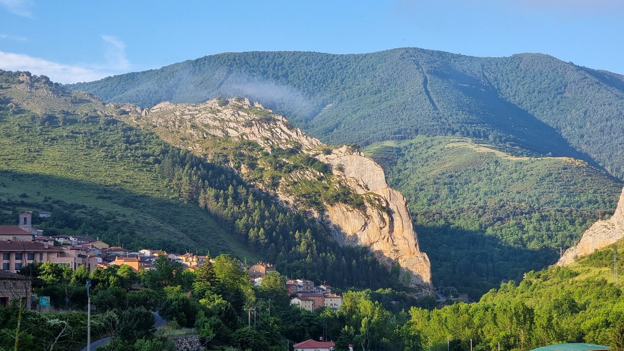
Passes and dinosaur footprints – Spain’s Sierras Riojanas (GR 93)
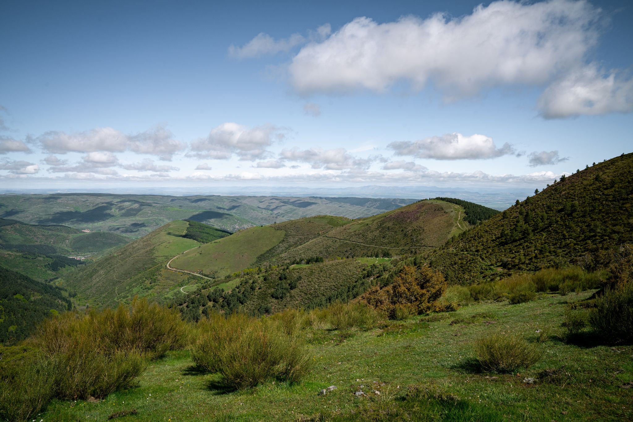
In the mountains of La Rioja – Iberian High Valleys trail (GR 190)
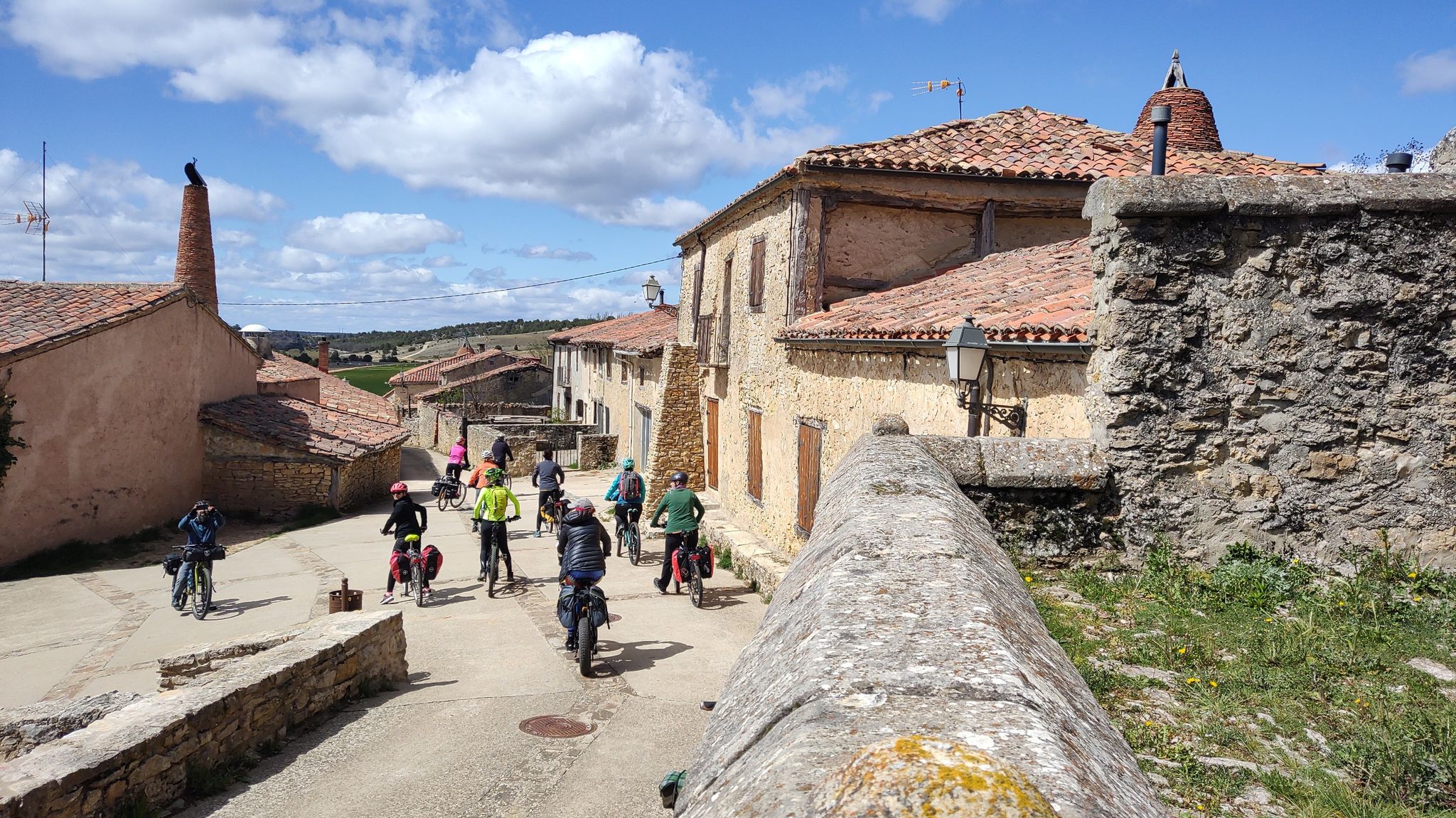
Millennial treasures on pedals – Romanesque art of Soria by MTB
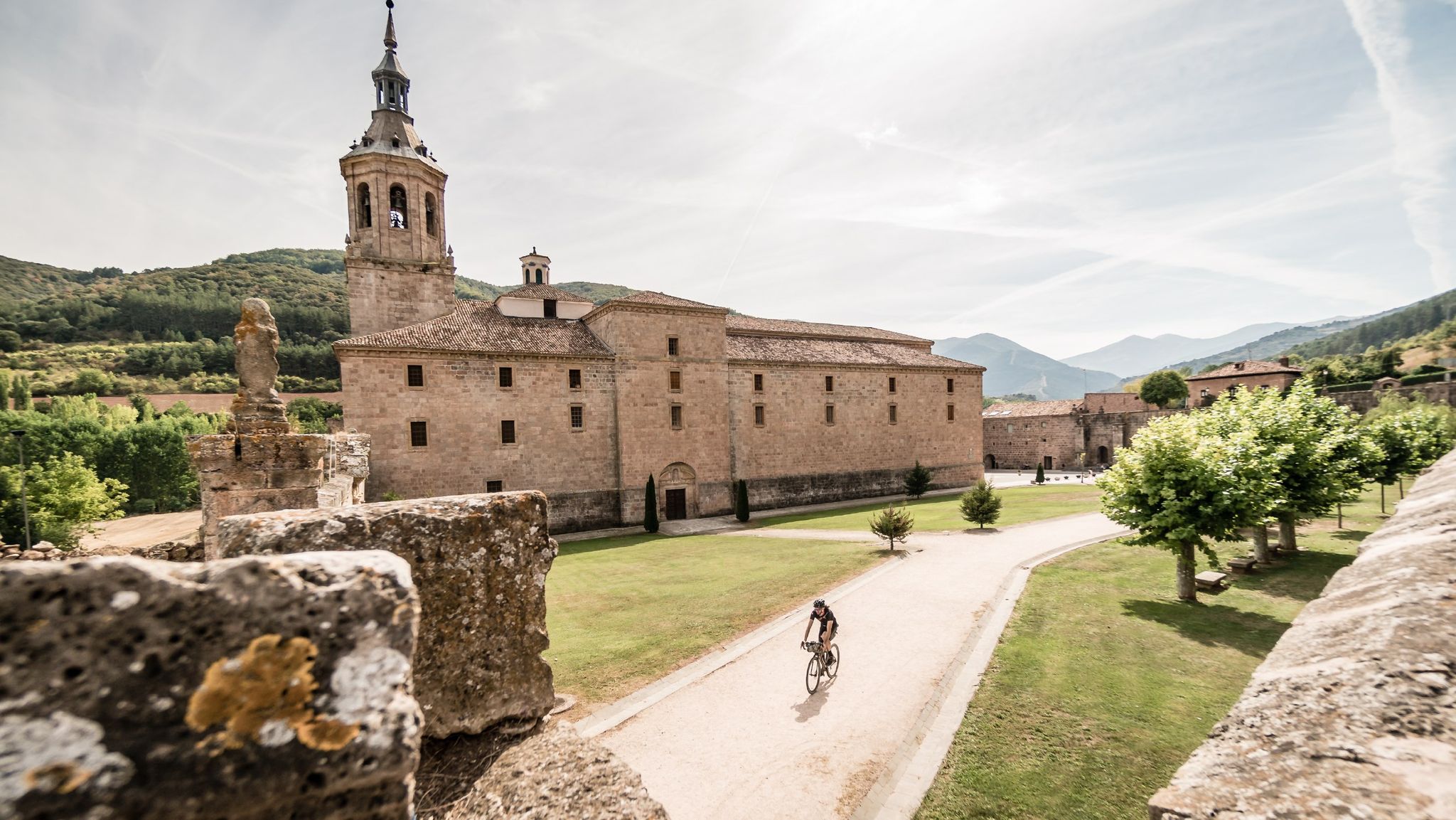
Between valleys and mountains – Mymerak gravel routes
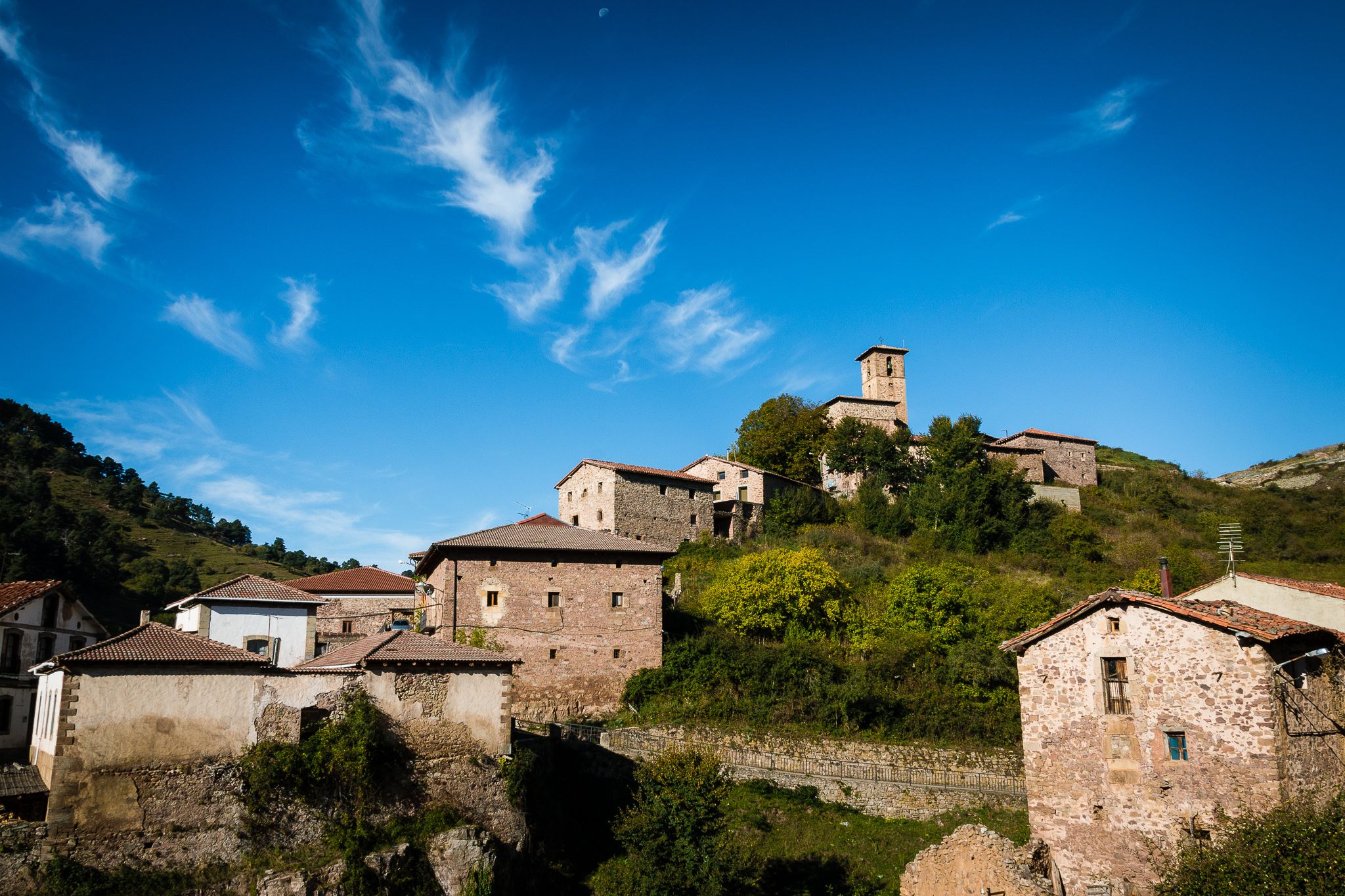
An adventure on quiet roads – MyMerac Rioja
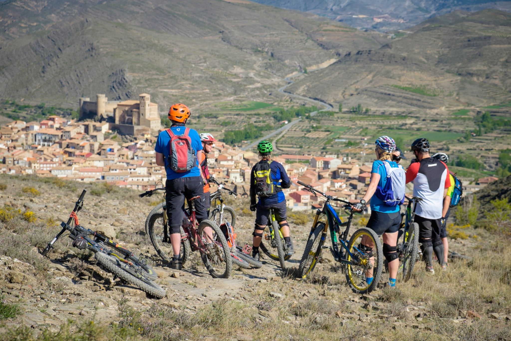
Mountains, valleys and trails in La Rioja – GR 93 by e-bike
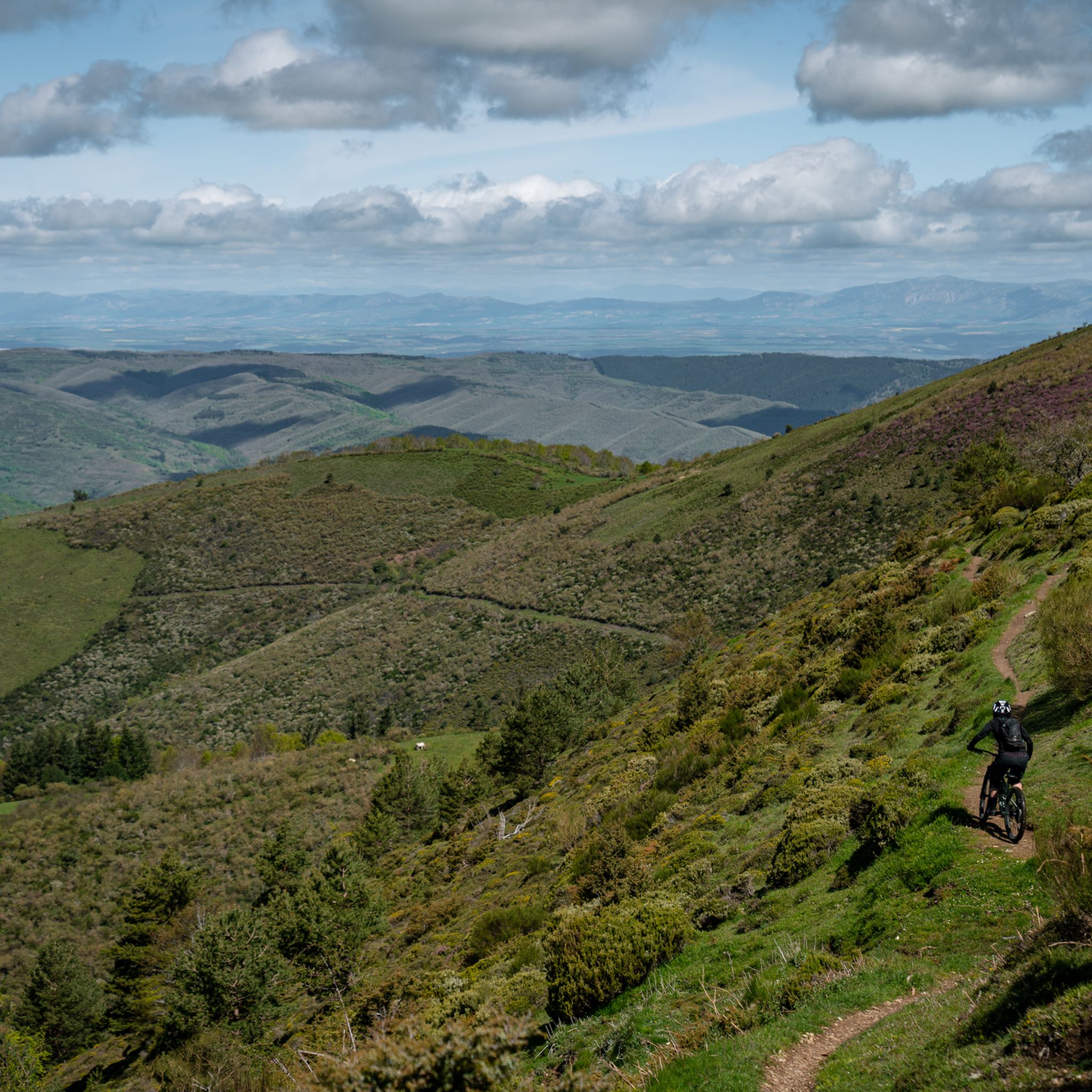
MTB Trails in Sierras De Demanda, Urbión, Cebollera Y Cameros
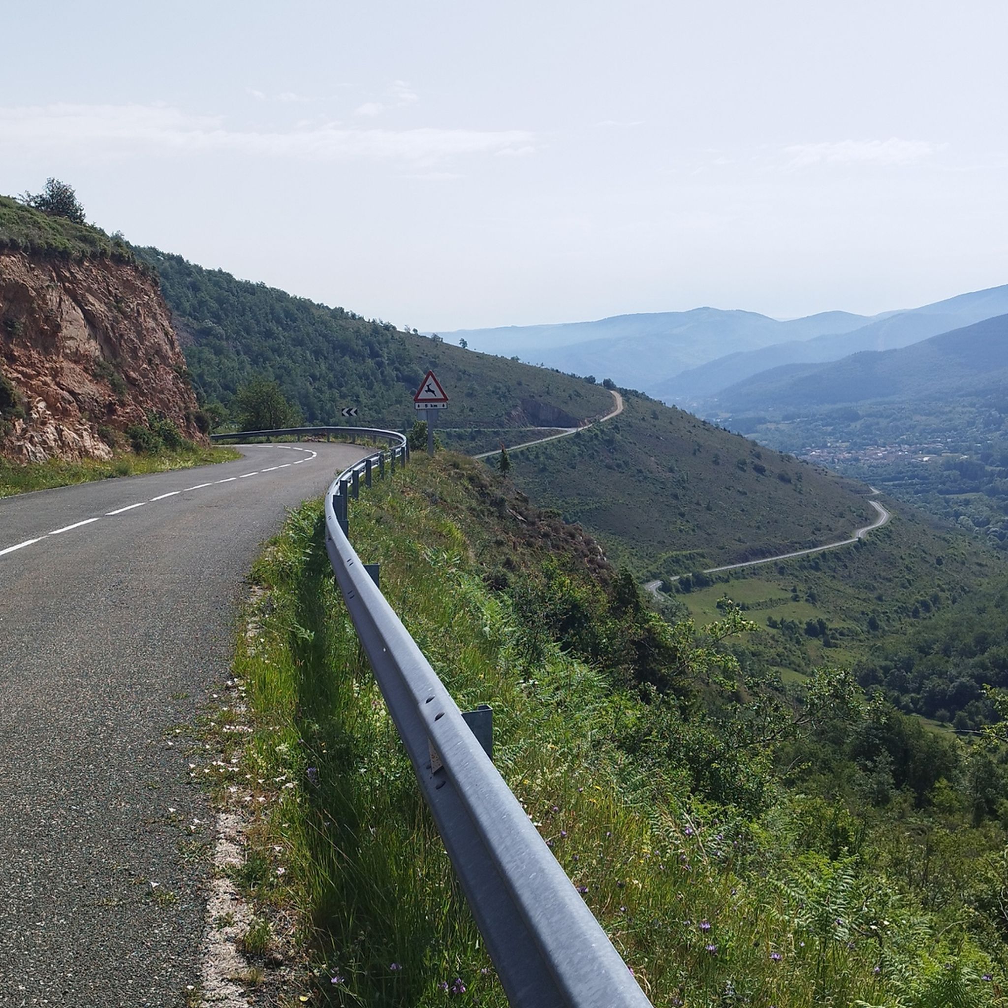
Road Cycling Routes in Sierras De Demanda, Urbión, Cebollera Y Cameros
Running Trails in Sierras De Demanda, Urbión, Cebollera Y Cameros

Gravel biking in Sierras De Demanda, Urbión, Cebollera Y Cameros
Other adventures in Sierras De Demanda, Urbión, Cebollera Y Cameros


Tips from the Community

Haven of peace surrounded by impressive forests.
0
0
A crossroads, surrounded by the cool breeze of the Puente Ra Stream, with a table and seat for resting. The natural surroundings are breathtaking.
0
0


Singular tree of the CCAA, quite deteriorated but enduring the passing of the years.
1
0

The port of Peña Hincada has good asphalt and horizontal signage. It is a road with little vehicle traffic. Shadows abound up to Brieva to disappear from that core to the top, totally stark in its most demanding part. Be very careful if it is done in winter, check the weather beforehand.
1
0

Known as Pantano de Ortigosa or Embalse de González-Lacasa, the dam is located between the towns of Ortigosa de Cameros, El Rasillo and Peñaloscintos, in Camero Nuevo. The reservoir is located on the Alberco river, although its waters come from the Iregua river, where the water is transferred through an underground channel from downstream of Villoslada.
3
0

Recreational area with access to the river, but that does not detract from the beauty of the place.
0
0
Frequently Asked Questions
How many hiking trails are available in Sierras De Demanda, Urbión, Cebollera Y Cameros?
There are over 100 hiking routes in the Sierras De Demanda, Urbión, Cebollera Y Cameros region. These trails cater to various skill levels, from moderate forest walks to more challenging mountain ascents.
What kind of terrain can I expect when hiking in this region?
The region is characterized by diverse terrain, including significant peaks like San Lorenzo (2,271m) and Pico Cebollera (2,166m), extensive forests of holm oaks, beeches, and Scots pines, and numerous water features. You'll find smooth, rounded mountains, especially in Sierra de Cebollera, and varied landscapes that include woodlands and open areas.
Are there any family-friendly hiking options in Sierras De Demanda, Urbión, Cebollera Y Cameros?
Yes, the region offers several routes suitable for families. The "Cascadas de Puente Rá" (Puente Rá Waterfalls) route is particularly popular and well-suited for families, providing a beautiful natural experience. Many of the easier forest walks are also great for hiking with children.
Can I bring my dog on the hiking trails?
Many trails in Sierras De Demanda, Urbión, Cebollera Y Cameros are dog-friendly, allowing you to explore with your canine companion. However, it's always advisable to check local regulations for specific natural parks or protected areas like the Sierra de Cebollera Natural Park, as some areas might have restrictions or require dogs to be on a leash to protect wildlife.
What natural features or landmarks can I see along the trails?
Hikers can discover a wealth of natural features and landmarks. Highlights include the stunning "Cascadas de Puente Rá" waterfalls, glacial lagoons such as Laguna Negra and Laguna Helada, and the dramatic Leza River Canyon. You can also visit significant peaks like Pico de Urbión and explore charming villages like Anguiano.
Are there any circular hiking routes available?
Yes, the region features several circular routes. For example, the Collado Ormazabal, Cabeza Parda, Collado de Beneguerra – circular route offers a scenic 12.6 km journey through mountainous terrain and forests. The area around Pico Urbión also features a circular route passing by unique glacial lagoons.
What is the best time of year to go hiking in this region?
The Sierras De Demanda, Urbión, Cebollera Y Cameros are beautiful year-round. Autumn is particularly stunning, with the forests displaying a vibrant mosaic of yellow, ocher, and red hues. Spring offers lush greenery and wildflowers. Summer is ideal for higher altitude trails, while winter provides opportunities for snowshoeing or winter hiking, especially in areas like Sierra de la Demanda, though proper gear is essential.
What is the difficulty level of hikes in Sierras De Demanda, Urbión, Cebollera Y Cameros?
The region offers a wide range of difficulty levels. You'll find 12 easy routes, 61 moderate routes, and 27 difficult routes. This variety ensures options for all hikers, from leisurely strolls through forests to challenging mountain ascents with significant elevation gain, such as the Three Villages Trail.
Are there any long-distance or multi-day hiking opportunities?
Yes, for those seeking longer adventures, the "Altos Valles Ibéricos" is a notable 64-kilometer route connecting Ezcaray and Villoslada de Cameros, traversing the highest mountains of La Rioja. A segment of this, the GR 190: Altos Valles Ibéricos Loop, is a challenging 27.1 km hike.
What do other hikers say about the trails in Sierras De Demanda, Urbión, Cebollera Y Cameros?
The routes in Sierras De Demanda, Urbión, Cebollera Y Cameros are highly rated by the komoot community, with an average score of 4.5 stars from over 270 reviews. Hikers often praise the well-preserved natural landscapes, the diverse forests, and the spectacular water features, highlighting the region as an exceptional destination for outdoor activities.
Is public transport available to access hiking trailheads?
While some villages serve as good starting points, public transport options can be limited, especially for reaching more remote trailheads. It's advisable to research specific routes and their accessibility by public transport in advance. Many visitors opt for personal vehicles to reach various starting points and explore the region more flexibly.
Are there any cultural or historical routes to explore?
Yes, the region boasts a rich cultural heritage reflected in its trails. The "Vía Romana del Iregua" offers a marked trail that follows an ancient Roman road, providing a historical dimension to your hike. The area's history of transhumance is also evident, with old corrals and pastoral huts along ancient bridle paths like the "Caminos de Herradura de Nieva."
Most popular routes in Sierras De Demanda, Urbión, Cebollera Y Cameros
Most popular attractions in Sierras De Demanda, Urbión, Cebollera Y Cameros

Get inspired with the komoot mobile app


Explore more
Browse the best Hikes in other regions.
