The best gravel rides in Calares De Sierra De Los Filabres
21
riders
5
rides
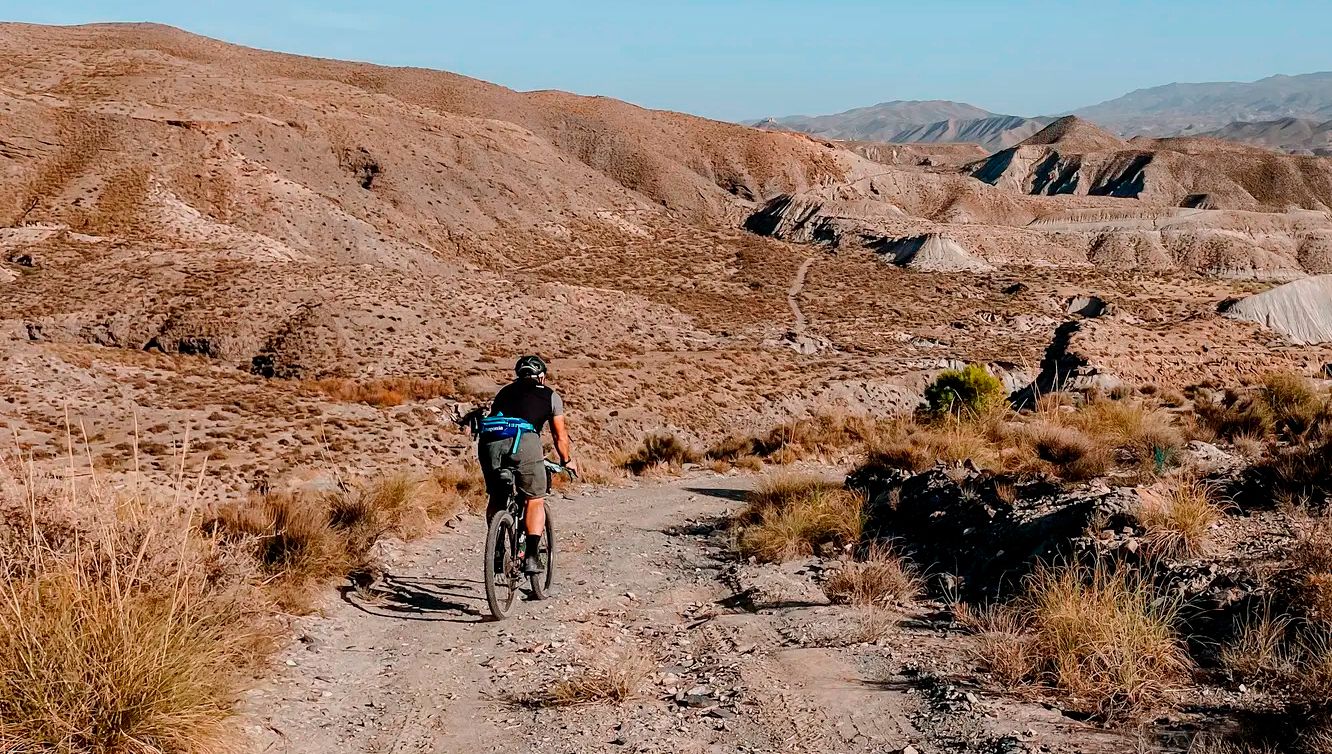
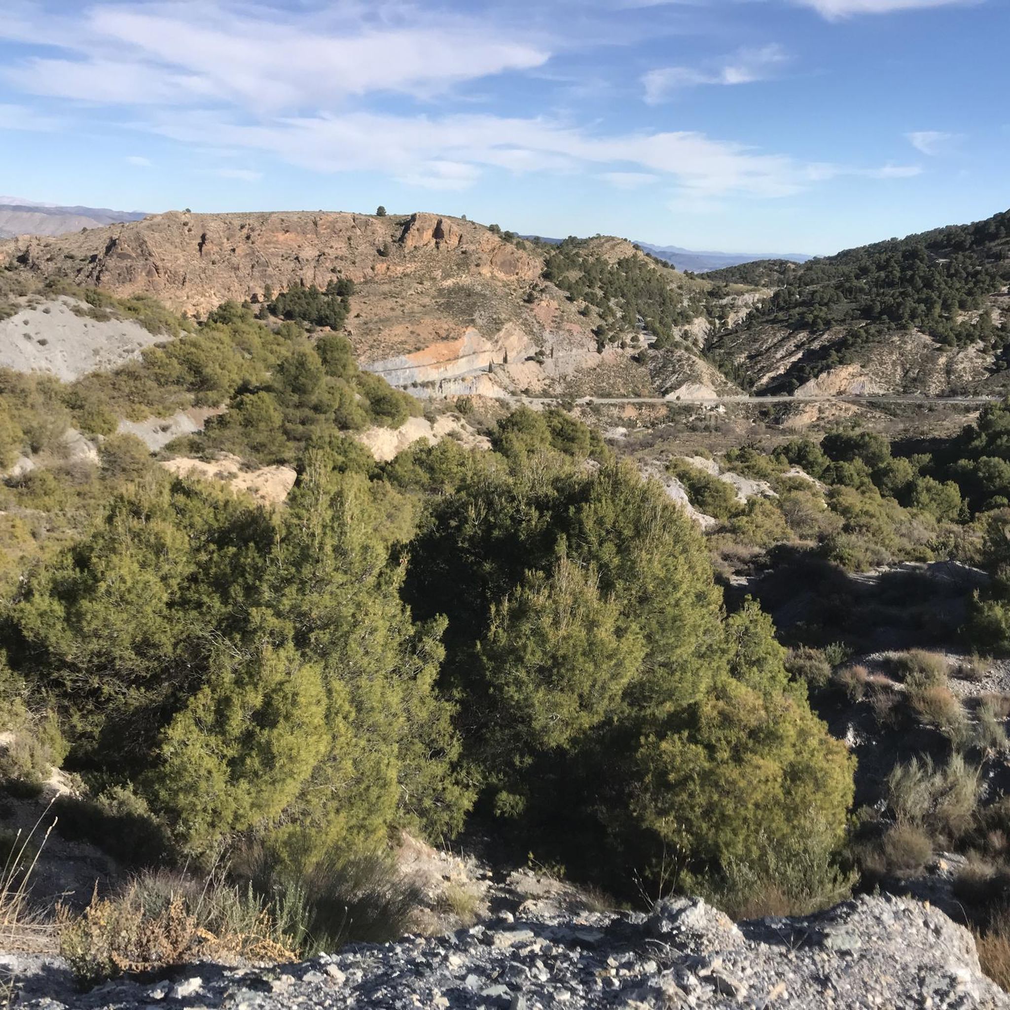
Gravel biking in Calares De Sierra De Los Filabres offers diverse terrain across high and medium-mountain calcareous enclaves and reforested woodlands. The region features varied unpaved and gravel sections, alongside tracks and roads, providing a mixed-terrain experience. Cyclists can expect significant elevation gains, with peaks often exceeding 2,000 meters and dramatic hills and valleys. The landscape transitions from lower valleys to higher altitudes, offering a wide array of environments for exploration.
Best gravel bike trails in Calares De Sierra De…
Last updated: July 9, 2026
3
riders
46.6km
04:35
1,240m
1,240m
Hard gravel ride. Very good fitness required. Mostly paved surfaces. Suitable for all skill levels.
3
riders
54.2km
04:52
1,460m
1,460m
Hard gravel ride. Very good fitness required. Mostly paved surfaces. Suitable for all skill levels.

Sign up for free
1
riders
29.7km
02:17
330m
330m
Moderate gravel ride. Good fitness required. Mostly paved surfaces. Suitable for all skill levels.
11
riders
90.9km
08:23
1,610m
1,610m
Hard gravel ride. Very good fitness required. Mostly paved surfaces. Suitable for all skill levels.
2
riders
Moderate gravel ride. Good fitness required. Mostly paved surfaces. Suitable for all skill levels.
Our route recommendations are based on thousands of hikes, rides, and runs completed by other people on komoot.
Start today with a free account
Your next adventure awaits.
Login or Signup
Popular around Calares De Sierra De Los Filabres
Other adventures in Calares De Sierra De Los Filabres

Tips from the Community

If you are passing through the Sierra de los Filabres near the summit of Calar Alto, the Fuente La Merendera is an almost mandatory stop at 1882 meters above sea level. This spring is famous for its fresh water that gushes from the metamorphic rocks of the mountains. Officially, there is a sign warning that it is not drinkable, but that does not stop locals and many passers-by from queuing with jugs, attracted by its water. Although, it is a good idea to filter the water before drinking it. If you need a long break, just across the road you will find a recreational area complete with tables, barbecues, and a viewpoint with spectacular views.
1
0
At 1,870 meters above sea level, the Collado de Conde marks a total change in the Almería landscape, moving from the arid environment, known for Western films, to a much cooler setting of mountains and pine forests. This point also functions as a crossroads, with roads, trails, and gravel tracks opening up in various directions.
0
0


Highest point of the Sierra de Los Filabres
0
0
Recreation area with drinking water fountain
0
0
Both mountain ranges ensure that it hardly rains in this semi-desert area.
1
0
Nice shady spots, benches and beautiful views.
1
0
A spectacular route through the southeast of the peninsula between the highlands of Granada in the Baza area towards the Almendricos district, already in the Murcia region, and passes through the Almanzora Valley in Almería. A route that for decades crossed a railway line that transported tons of iron and other merchandise
1
0
Frequently Asked Questions
How many gravel bike trails are available in Calares De Sierra De Los Filabres?
There are 5 gravel bike routes available in Calares De Sierra De Los Filabres, offering a range of experiences from moderate to difficult.
What kind of terrain can I expect on the gravel bike routes?
You can expect a diverse mix of unpaved and gravel sections, tracks, and roads. The terrain varies from high and medium-mountain calcareous enclaves to reforested woodlands, with significant elevation gains. Some areas transition from desert-like conditions to snow-capped peaks, providing a wide array of environments.
Are there any routes suitable for families or beginners?
While many routes in Calares De Sierra De Los Filabres feature significant climbs and are rated moderate to difficult, the Venta Luisa Pass – Calar Alto (2,168 m) loop from Centro Astronómico Hispano en Andalucía is a moderate option that might be more manageable for those seeking a less strenuous ride. Always check the route details for elevation and distance to ensure it suits your group's ability.
What are some notable landmarks or attractions I can see along the gravel bike trails?
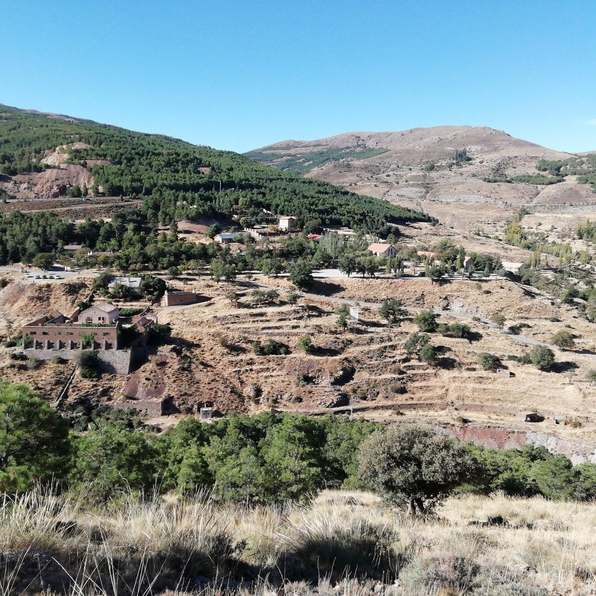
The region is rich in points of interest. You can encounter the impressive Las Menas Mining Village and Los Cortijillos, both abandoned mining villages that offer a glimpse into the past. The Tetica de Bacares Summit provides stunning views. The Calar Alto Astronomical Observatory, though not directly on a route, is a prominent feature in the landscape. Picturesque villages like Bacares, Olula de Castro, and Serón are also scattered throughout the massif.
When is the best time of year to go gravel biking in Calares De Sierra De Los Filabres?
The diverse landscape means conditions can vary. Generally, spring and autumn offer pleasant temperatures for cycling. Summers can be very hot, especially in lower valleys, while higher altitudes can see snow in winter. Checking local weather forecasts and route conditions before you go is always recommended.
Are there any circular gravel bike routes in the area?
Yes, several routes are designed as loops. For example, you can try the Velefique climb – Alto de Velefique Pass loop from Sierro or the Serón Railway Station – Aljibe de Serón loop from Serón. These allow you to start and finish in the same location.
What are the most challenging gravel bike routes in Calares De Sierra De Los Filabres?
The region is known for its significant climbs. Routes like the Venta Luisa Pass – Velefique climb loop from Centro Astronómico Hispano en Andalucía, which includes the famous Alto de Velefique pass (often called the 'Spanish Stelvio'), are rated difficult due to substantial elevation gains and distances.
Where can I find parking for gravel biking trailheads?
Many routes start from villages or specific points that offer parking. For instance, routes like the Velefique climb – Alto de Velefique Pass loop can be accessed from Sierro, where you'll typically find parking options. For routes starting near the observatory, such as the Venta Luisa Pass – Calar Alto loop, parking is usually available at or near the Centro Astronómico Hispano en Andalucía.
Are there any viewpoints along the gravel bike trails?
Yes, the Sierra de los Filabres offers numerous impressive views. The Trail with views highlight is specifically noted for its scenic vistas. The high peaks like Calar Alto and Tetica de Bacares, and the winding roads of Alto de Velefique, provide spectacular panoramic views, including distant glimpses of the Sierra Nevada.
What kind of gear is recommended for gravel biking in this region?
Given the varied terrain and significant elevation changes, a well-maintained gravel bike with appropriate gearing for climbing is essential. Tubeless tires with good puncture protection are highly recommended due to the unpaved and rocky sections. Always carry sufficient water, snacks, repair kits, and navigation tools. Helmets are mandatory, and layers of clothing are advisable due to potential temperature fluctuations between altitudes.
Are there places to eat or drink along the routes?
The picturesque villages scattered throughout the massif, such as Bacares, Olula de Castro, and Serón, often have small cafes or restaurants where you can refuel. The Serones Cheese Factory in Serón is also a notable stop for local produce. Planning your route to pass through these villages is a good idea for refreshment breaks.
Most popular routes in Calares De Sierra De Los Filabres
Most popular attractions in Calares De Sierra De Los Filabres

Get inspired with the komoot mobile app


