The best family-friendly hikes and walks in Ouachita National Forest
4.7
(27)
626
hikers
28
hikes
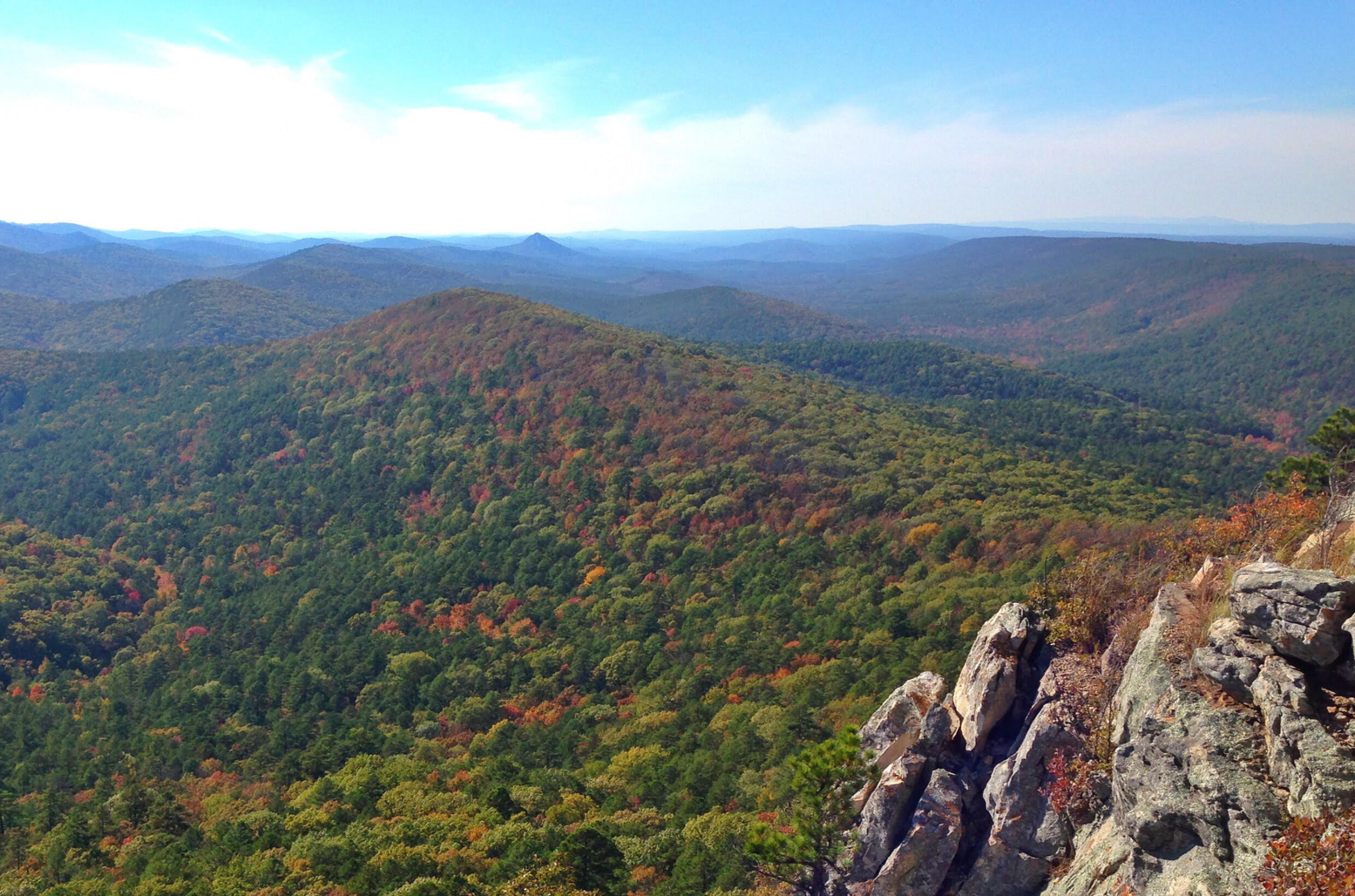
Family friendly hiking trails in Ouachita National Forest traverse the oldest and largest national forest in the Southern United States, covering 1.8 million acres across Arkansas and Oklahoma. The region is characterized by the Ouachita Mountains, which run east to west, offering a landscape of rolling hills, diverse forests, and numerous water features. Hikers can explore a network of trails that wind through pine and oak woodlands, past pristine lakes, and alongside picturesque streams. The terrain includes varied elevations, from…
Last updated: July 8, 2026
6
hikers
7.20km
01:59
110m
140m
The Ouachita and Lake Sylvia Trail offers a delightful, easy hike through the varied landscapes of the Ouachita National Forest. You'll wander through open hardwood forests, sections of unbroken pine,…
1
hikers
4.41km
01:09
30m
30m
Embark on an easy hike along the Lake Ouachita Vista Trail and Eagle Vista Loop, a 2.7-mile (4.4 km) route that offers delightful forest scenery and expansive views of Lake…

Sign up for free
1
hikers
10.4km
02:47
130m
90m
Embark on a moderate hike along the Lake Ouachita Vista Trail from Tompkins Bend to Joplin, covering 6.5 miles (10.4 km) with an elevation gain of 437 feet (133 metres).…
13.5km
04:43
400m
430m
Embark on the Ouachita Bohannon Trail for a moderate hiking experience through the rugged Ouachita National Forest. This 8.4-mile (13.5 km) route challenges you with 1300 feet (396 metres) of…
1
hikers
604m
00:11
30m
0m
The Flatside Pinnacle Spur Trail delivers massive views for minimal effort, making it a standout in the Ouachita Mountains. You'll wind through pine and hardwood forests before the terrain gets…
Get access to more routes and recommendations from other explorers.
Sign up for free
Already have an account?
Our route recommendations are based on thousands of hikes, rides, and runs completed by other people on komoot.
Start today with a free account
Your next adventure awaits.
Login or Signup
Popular around Ouachita National Forest
Other adventures in Ouachita National Forest

Tips from the Community

This high point on the trail offers a beautiful view of Lake Winona to the southeast, nestled within the beautiful trees of the Ouachita National Forest. For a higher vantage point, the Lake Sylvia trail junction here leads 1/2 mile north to the spur trail of the Chinquapin Mountain summit, which offers excellent views of the valley, Pinnacle Mountain, and Lake Maumelle to the east.
0
0

Flatside Pinnacle stands at 1,550 feet and offers stunning panoramic views. The short 0.2-mile trail from the gravel road to the summit is clearly marked and relatively easy, though it does get rocky and a little steep at the end. At the top are some of the best views in the state, including Pinnacle Mountain and Rattlesnake Ridge to the east. On clear days, you may even spot Mt. Nebo, Petit Jean, and Mt. Magazine. It's a perfect spot to hang a hammock, have lunch, or simply enjoy some solitude. Dispersed camping is allowed here, making it an ideal spot for thru-hikers to unwind and soak in the scenery.
0
0
Talimena State Park serves as the Oklahoma entrance to Ouachita National Forest, the starting point for Talimena National Scenic Drive, and the official trailhead of the 223-mile Ouachita Trail. The park features RV and tent campsites, picnic areas, fire rings, a playground, hiking trails, drinking water, and restrooms with showers. There is also a small gift shop and a camp host on-site. Entry to the park and trail access is free. However, there is a $10/day fee for overnight parking. See information about a parking pass here: https://www.premiumparking.com/P4623
0
0

The largest lake in Arkansas. It is a pristine lake with very little shoreline development. It is surrounded by the 1.8 million acre Ouachita National Forest.
0
0
The Civilian Conservation Corps constructed this Girl Scout camp between 1936 and 1940 and is located on the northern tip of Lake Sylvia. The Rustic architectural style buildings include the Great Hall, administration buildings, and cabins. Its a good site to learn about the CCC's impact on the area's development, and appreciate the conservation work accomplished during that era.
0
0
The largest lake in Arkansas. It is a pristine lake with very little shoreline development. It is surrounded by the 1.8 million acre Ouachita National Forest.
1
0
Frequently Asked Questions
How many family-friendly hiking trails are available in Ouachita National Forest?
Ouachita National Forest offers a wide variety of trails suitable for families. This guide features nearly 30 family-friendly hiking routes, with 10 of them rated as easy, making them perfect for all ages and skill levels.
What kind of natural features can we expect to see on family hikes in Ouachita National Forest?
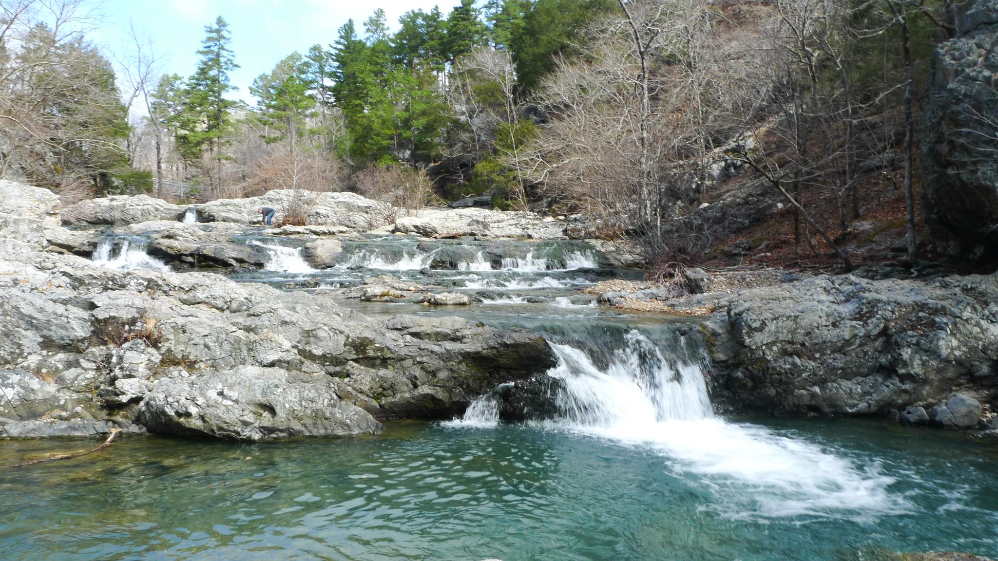
The Ouachita National Forest is rich in natural beauty. You'll encounter picturesque streams, rivers, and lakes, including the expansive Lake Ouachita and the serene Lake Sylvia Recreation Area. Many trails also feature unique geological formations like quartz outcroppings and offer stunning mountain views.
Are there any easy loop trails suitable for families?
Yes, there are several excellent loop trails that are great for families. For a scenic and relatively flat option, consider the Lake Ouachita Vista Trail and Eagle Vista Loop, which offers consistent lake views. Another great choice is the Ouachita and Lake Sylvia Trail, providing a pleasant walk around the lake.
What is the best time of year to go hiking with family in Ouachita National Forest?
Spring and fall are generally the most pleasant seasons for family hiking in Ouachita National Forest. In spring, you'll enjoy mild temperatures and vibrant wildflowers. Fall brings cooler weather and spectacular autumn foliage, making for incredibly scenic walks. Summer can be hot and humid, so early mornings are recommended if hiking during this season.
Are there any short, easy trails for families with young children?
Absolutely! For a very short and accessible option, the Flatside Pinnacle Spur Trail is less than a kilometer long and offers a quick nature experience. The Lake Ouachita Vista Trail and Eagle Vista Loop is also a great easy option at just over 4 kilometers, providing beautiful lake views without significant elevation gain.
What do other hikers say about the family-friendly trails in Ouachita National Forest?
The komoot community highly rates the hiking experience in Ouachita National Forest, with an average score of 4.8 stars. Reviewers often praise the well-maintained paths, the stunning lake views, and the peaceful, natural environment that makes it ideal for family outings.
Are there any trails that pass by interesting historical sites?
Yes, the Ouachita National Forest has some historical significance. For example, the area around Lake Sylvia Recreation Area is close to the Camp Ouachita Historic District, which offers a glimpse into the past. While specific family trails might not directly pass through all historical sites, many are easily accessible nearby.
Can we find trails with good viewpoints for scenic photos?
Many trails in the Ouachita National Forest offer fantastic viewpoints. The Ouachita Mountains provide outstanding vistas, and trails like the Lake Ouachita Vista Trail and Eagle Vista Loop are known for their consistent lake views. For a quick ascent to a scenic spot, the Flatside Pinnacle Spur Trail leads to Flatside Pinnacle, offering great photo opportunities.
Are there any specific trails that are less crowded for a more peaceful family hike?
While popular spots can see more visitors, many trails in the vast Ouachita National Forest offer a sense of solitude. For a longer, more immersive experience away from the busiest areas, consider sections of the Ouachita Bohannon Trail. Exploring trails further from main recreation areas or visiting during off-peak times can also lead to a more peaceful experience.
What should we wear for family hiking in Ouachita National Forest?
It's best to dress in layers, as temperatures can change throughout the day. Comfortable, sturdy hiking shoes are essential, especially for trails with varied terrain. Depending on the season, bring rain gear, sun protection (hat, sunscreen), and insect repellent. Always check the weather forecast before heading out.
Are there any places to swim or cool off along the family-friendly trails?
Yes, the Ouachita National Forest is home to many water features. Lake Sylvia Recreation Area and Lake Ouachita offer opportunities for swimming and cooling off, especially during warmer months. Always check local regulations and safety guidelines before entering the water.
Most popular routes in Ouachita National Forest
Most popular attractions in Ouachita National Forest

Get inspired with the komoot mobile app


Explore more
Browse the best Hikes in other regions.
