Easy hikes and walks in Ouachita National Forest
4.7
(27)
626
hikers
58
hikes
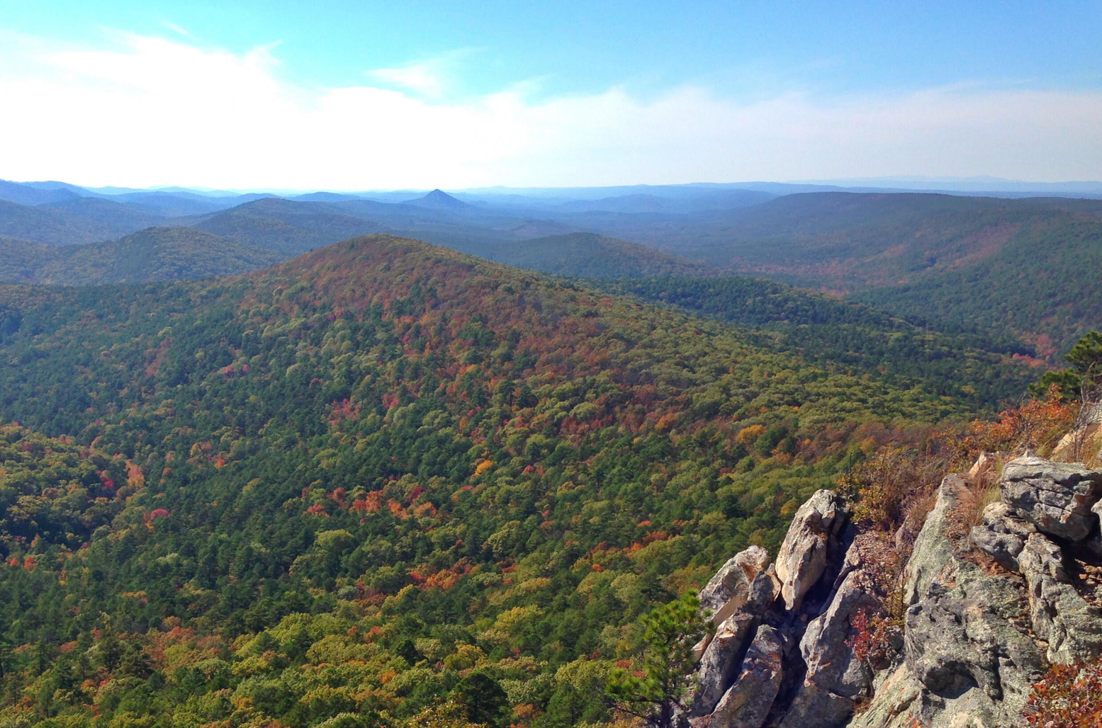
Easy hiking trails in Ouachita National Forest traverse a diverse landscape of mountains, valleys, and forested creeks. This region, home to the unique east-west oriented Ouachita Mountain Range, spans 1.8 million acres across Arkansas and Oklahoma. The terrain features prominent peaks, panoramic vistas, and numerous water bodies, including Lake Ouachita. Hikers can explore a network of trails that showcase the forest's varied topography.
Best easy hiking trails in Ouachita National Forest
- The most popular easy hiking route is Ouachita and Lake Sylvia Trail, a 4.5 miles (7.2 km) trail that takes 1 hour 59 minutes to complete. This route features varied forest scenery and views of Lake Sylvia.
- Another top favourite among local hikers is East Caney Creek Trail, an easy 4.1 miles (6.6 km) path. It follows the scenic Caney Creek, offering a tranquil experience through the wilderness.
- Local hikers also love the Lake Ouachita Vista Trail and Eagle Vista Loop, a 2.7 miles (4.4 km) trail leading through forested areas with views of Lake Ouachita, often completed in about 1 hour 9 minutes.
- Hiking in Ouachita National Forest is defined by mountainous terrain, dense woodlands, and clear water bodies like Lake Ouachita. The extensive network offers options for various ability levels, including many easy hiking trails.
- The routes in Ouachita National Forest are highly rated by the komoot community with an average score of 4.8 stars from over 10 reviews. More than 400 hikers have used komoot to explore Ouachita National Forest's varied terrain.
Last updated: July 8, 2026
6
hikers
7.20km
01:59
110m
140m
The Ouachita and Lake Sylvia Trail offers a delightful, easy hike through the varied landscapes of the Ouachita National Forest. You'll wander through open hardwood forests, sections of unbroken pine, and past rocky outcroppings, with clear running streams adding to the serene atmosphere. Keep an eye out for the scenic View of Lake Winona, a highlight along this peaceful route.
This 4.5-mile (7.2 km) trail, with a gentle 363 feet (111 metres) of elevation gain, is easily accessible from the Lake Sylvia Recreation Area. It's rated as easy and takes approximately 1 hour and 58 minutes to complete, making it a great option for families or anyone seeking a relaxed outdoor experience. Arriving early can help secure parking, especially on busy days.
Beyond the trail itself, the Lake Sylvia Recreation Area is a hub for outdoor activities, including swimming, fishing, and picnicking. The area is also home to the historic Camp Ouachita, a Civilian Conservation Corps-constructed Girl Scout camp from the 1930s, offering a glimpse into the region's past. This trail provides an excellent introduction to the natural beauty and history of the Ouachita National Forest.
4
hikers
6.62km
01:47
60m
120m
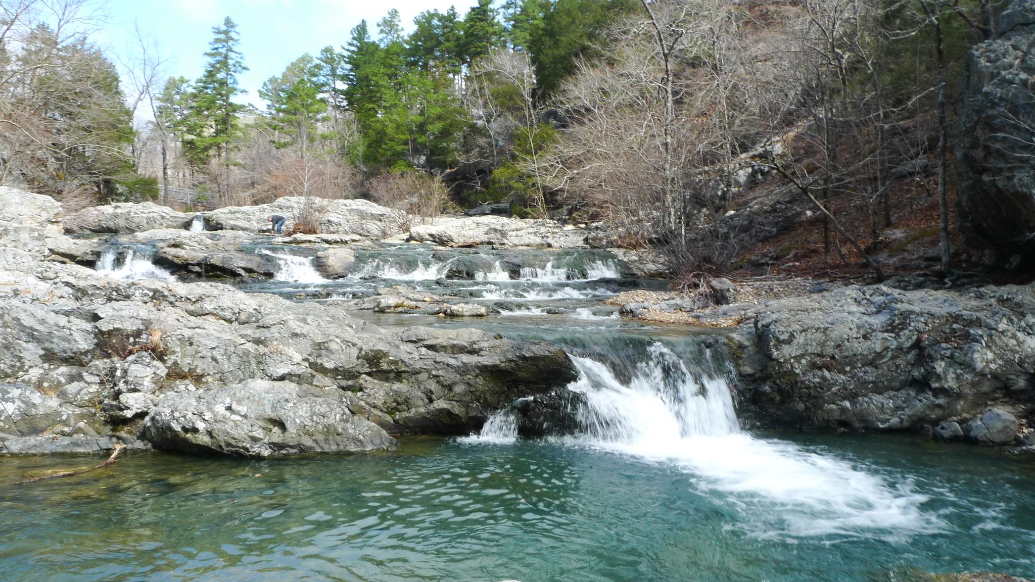
Embark on an easy hike along the East Caney Creek Trail, a 4.1 miles (6.6 km) route that takes about 1 hour and 46 minutes to complete. You'll gain a gentle 209 feet (64 metres) in elevation as you explore the Caney Creek Wilderness. The trail winds through dense stands of beech trees, large pines, and bottomland hardwoods, offering a serene forest experience. Keep an eye out for numerous clear water crossings and small waterfalls, including the picturesque Katy Falls. As you ascend, sharp ridges provide expansive views of the Ouachita Mountains, with scattered sandstone outcroppings adding to the scenic beauty.
Before you head out, be aware that the East Caney Creek Trail features frequent creek crossings. These can be prone to flash flooding after heavy rains, so always check local conditions before your visit to ensure a safe trip. The route is not blazed or signed, which means you should bring a map and compass for reliable navigation. Some western sections may also have fallen timber, requiring careful passage. During the growing season, you might encounter encroaching briars and other vegetation, so long pants are advisable.
This trail offers a unique opportunity to immerse yourself in the natural beauty of the Caney Creek Wilderness, following the creek's drainage through a diverse forest ecosystem. The presence of numerous waterfalls and clear water crossings makes it a refreshing experience, especially on warmer days. Its easy difficulty makes it accessible for most hikers looking for a peaceful escape into the Ouachita Mountains, where the landscape transitions from lush bottomlands to scenic ridge views.

Sign up for free
1
hikers
4.41km
01:09
30m
30m
Embark on an easy hike along the Lake Ouachita Vista Trail and Eagle Vista Loop, a 2.7-mile (4.4 km) route that offers delightful forest scenery and expansive views of Lake Ouachita. You will experience a gentle elevation gain of 92 feet (28 metres) over varied terrain, including compacted dirt paths. This loop provides a pleasant outdoor experience, perfect for a quick escape into nature, taking about 1 hour and 8 minutes to complete.
Planning your visit is straightforward, as the trail is easily accessible within the Ouachita National Forest. You will find numerous access points to the broader Lake Ouachita Vista Trail system, making it simple to locate parking and begin your adventure. The route is also dog-friendly, so feel free to bring your canine companion along to enjoy the natural surroundings.
This trail is particularly notable for its wildlife viewing opportunities, especially for bird enthusiasts. The Eagle Vista section is renowned for attracting bald eagles, particularly during the cooler winter months. Keep an eye out for these majestic birds as you traverse the loop, adding a unique highlight to your outdoor experience in the Ouachita National Forest.
2.56km
00:41
30m
10m
The Lakeview Lodge Trail Short Loop offers a tranquil and accessible outdoor experience, winding through verdant woodlands dominated by towering pine trees that create a refreshing canopy. You will find well-defined paths of dirt and quartz, with a gentle "roller coaster feel" as you navigate the easy 1.6-mile (2.6 km) hike, which includes about 105 feet (32 metres) of elevation gain and takes around 40 minutes to complete. Keep an eye out for shimmering glimpses of Broken Bow Lake through the trees, adding a scenic touch to your journey.
Planning your visit to this trail is straightforward, as it is well-maintained and located within Beavers Bend State Park. Dogs are typically allowed on a leash, making it a great option for a family outing. For the most pleasant hiking conditions and to enjoy the area's natural beauty, visiting during spring or fall is highly recommended, when temperatures are comfortable and the foliage is at its best.
This short loop is notable for being part of a larger, interconnected trail system, offering versatility for different preferences with other loops providing greater length and difficulty. Its established nature is also evident as it is utilized by mountain bikers. The Lakeview Lodge Trail provides a quick opportunity to immerse yourself in nature and observe local wildlife, such as deer and fawns, making it a rewarding short hike.
1
hikers
1.04km
00:22
100m
0m
Embark on an easy hike along the Crystal Vista Trail, a unique route where you will discover sparkling fields of exposed quartz crystals. This path covers 0.6 miles (1.0 km) and involves a gentle climb of 344 feet (105 metres), taking approximately 22 minutes to complete. As you ascend to the summit on Mount Gardner, you are treated to panoramic vistas of the Ouachita National Forest, including distant hills and the potential glimpse of Lake Ouachita.
Planning your visit is simple, as parking is readily available at the trailhead. The trail welcomes dogs, so feel free to bring your furry friend to explore alongside you. Although the route is considered easy, the terrain can be rocky, making sturdy hiking boots a recommended choice for a more comfortable experience.
This trail stands out for its crystal-rich environment, offering a distinct natural encounter within the Ouachita National Forest. It provides a rewarding experience for both crystal enthusiasts and those who appreciate the diverse flora and fauna of the region. The unique geology makes it a notable destination for a short, immersive outdoor adventure.
Get access to more routes and recommendations from other explorers.
Sign up for free
Already have an account?
Our route recommendations are based on thousands of hikes, rides, and runs completed by other people on komoot.
Start today with a free account
Your next adventure awaits.
Login or Signup
Popular around Ouachita National Forest
Other adventures in Ouachita National Forest

Tips from the Community

This high point on the trail offers a beautiful view of Lake Winona to the southeast, nestled within the beautiful trees of the Ouachita National Forest. For a higher vantage point, the Lake Sylvia trail junction here leads 1/2 mile north to the spur trail of the Chinquapin Mountain summit, which offers excellent views of the valley, Pinnacle Mountain, and Lake Maumelle to the east.
0
0

The largest lake in Arkansas. It is a pristine lake with very little shoreline development. It is surrounded by the 1.8 million acre Ouachita National Forest.
0
0
The Civilian Conservation Corps constructed this Girl Scout camp between 1936 and 1940 and is located on the northern tip of Lake Sylvia. The Rustic architectural style buildings include the Great Hall, administration buildings, and cabins. Its a good site to learn about the CCC's impact on the area's development, and appreciate the conservation work accomplished during that era.
0
0
The largest lake in Arkansas. It is a pristine lake with very little shoreline development. It is surrounded by the 1.8 million acre Ouachita National Forest.
1
0
Frequently Asked Questions
How many easy hiking trails are available in Ouachita National Forest?
Ouachita National Forest offers a wide range of hiking opportunities, with over 25 easy trails specifically curated for a more relaxed experience. In total, the forest boasts over 60 routes across various difficulty levels.
What kind of natural features can I expect to see on easy hikes in Ouachita National Forest?
Easy hikes in Ouachita National Forest often lead through diverse landscapes featuring forested creeks, panoramic vistas, and unique rock formations. You can also enjoy views of prominent peaks like Crystal Mountain and explore areas around clear water bodies such as Lake Ouachita. For example, the Ouachita and Lake Sylvia Trail offers varied forest scenery and views of Lake Sylvia.
Are there any family-friendly easy hikes in the Ouachita National Forest?
Yes, many easy trails are suitable for families. The Lake Ouachita Vista Trail and Eagle Vista Loop is a great option, being a shorter 2.7-mile path through forested areas with views of Lake Ouachita, typically completed in just over an hour. The Crystal Vista Trail is also a short, easy walk with scenic views.
What do other hikers enjoy most about the easy trails in Ouachita National Forest?
The easy trails in Ouachita National Forest are highly rated by the komoot community, with an average score of 4.8 stars. Hikers frequently praise the tranquil wilderness experience, the scenic views of lakes and mountains, and the well-maintained paths that make for an enjoyable outing. Over 400 hikers have used komoot to explore this varied terrain.
Are there any easy loop trails in Ouachita National Forest?
Yes, the Ouachita National Forest features several easy loop trails. A popular choice is the Lake Ouachita Vista Trail and Eagle Vista Loop, which provides a pleasant circular route with lake views. The Ouachita and Lake Sylvia Trail also offers a loop experience around Lake Sylvia.
What is the best time of year to go on easy hikes in Ouachita National Forest?
The Ouachita National Forest is beautiful year-round, but spring and fall are particularly popular for easy hikes. Spring brings lush greenery and comfortable temperatures, while fall offers stunning foliage along scenic drives like the Talimena National Scenic Byway. Summers can be warm, and winters are generally mild, making hiking possible, though some areas might have seasonal considerations.
Are there any specific landmarks or points of interest near the easy hiking trails?
Yes, several notable landmarks and points of interest are accessible near easy hiking trails. You can visit Queen Wilhelmina State Park & Lodge, often called 'Arkansas's Castle in the Sky,' or explore the serene Lake Sylvia Recreation Area. The Flatside Wilderness Area also offers rugged terrain and stunning vistas.
What are some shorter, easy trails for a quick walk?
For a quick and easy walk, consider the Crystal Vista Trail, which is about 1.0 km (0.6 miles) and takes around 22 minutes. Another very short option is the Flatside Pinnacle Spur Trail, a 0.6 km (0.4 miles) path that can be completed in about 11 minutes.
Are dogs allowed on the easy hiking trails in Ouachita National Forest?
Generally, dogs are welcome on trails in the Ouachita National Forest, but it's always best to check specific regulations for individual trails or recreation areas. Always keep your dog on a leash and practice Leave No Trace principles by cleaning up after them.
Where can I find information about parking for easy trails?
Most trailheads within the Ouachita National Forest have designated parking areas. While specific parking details for each easy trail are best found on the individual komoot tour pages, popular spots like Lake Sylvia Recreation Area and various vista points typically offer convenient access. It's advisable to check the tour details before you go.
Are there any easy trails that follow a creek or river?
Yes, the Ouachita National Forest is known for its picturesque streams and rivers. The East Caney Creek Trail is an excellent example, following the scenic Caney Creek and offering a tranquil experience through the wilderness.
Most popular routes in Ouachita National Forest
Most popular attractions in Ouachita National Forest

Get inspired with the komoot mobile app


Explore more
Browse the best Hikes in other regions.
