The best hikes from bus stations in Humboldt-Toiyabe National Forest
4.7
(484)
7,754
hikers
17
hikes
Bus station hiking trails in Humboldt-Toiyabe National Forest traverse a vast landscape spanning 6.3 million acres, characterized by diverse ecosystems ranging from high desert to alpine peaks. The region features spectacular mountain ranges, including portions of the eastern Sierra Nevada, and numerous alpine lakes. Geological formations shaped by volcanic activity and glaciation have resulted in rugged mountains, canyons, and unique rock formations. This varied terrain offers a wide range of hiking experiences.
Best bus station hiking trails in Humboldt-Toiyabe National…
Last updated: August 31, 2026
19.2km
05:38
530m
530m
Hard hike. Very good fitness required. Mostly accessible paths. Sure-footedness required.
9
hikers
8.63km
02:29
210m
210m
Moderate hike. Good fitness required. Easily-accessible paths. Suitable for all skill levels.

Sign up for free
9
hikers
Easy hike. Great for any fitness level. Easily-accessible paths. Suitable for all skill levels.
5
hikers
8.79km
02:20
90m
90m
Moderate hike. Good fitness required. Easily-accessible paths. Suitable for all skill levels.
27
hikers
Easy hike. Great for any fitness level. Easily-accessible paths. Suitable for all skill levels.
Get access to more routes and recommendations from other explorers.
Sign up for free
Already have an account?
Our route recommendations are based on thousands of hikes, rides, and runs completed by other people on komoot.
Start today with a free account
Your next adventure awaits.
Login or Signup
Popular around Humboldt-Toiyabe National Forest

American Discovery Trail — Walking from sea to shining sea

The tour of your life – music trails on the Pacific coast
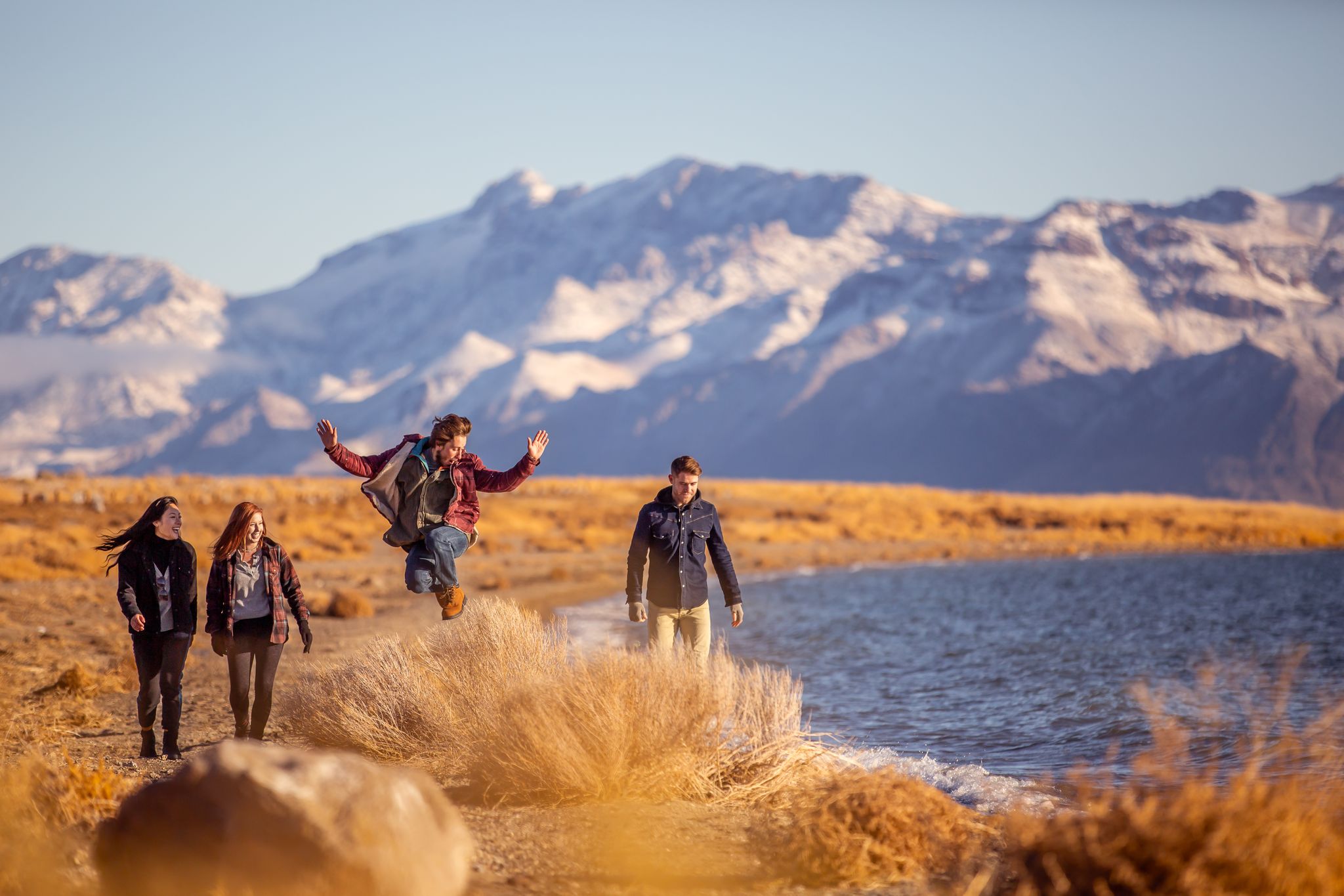
Basecamp Nevada – hiking Tours in the Silver State

Circumnavigating Lake Tahoe in the Sierra Nevada – Tahoe Rim Trail
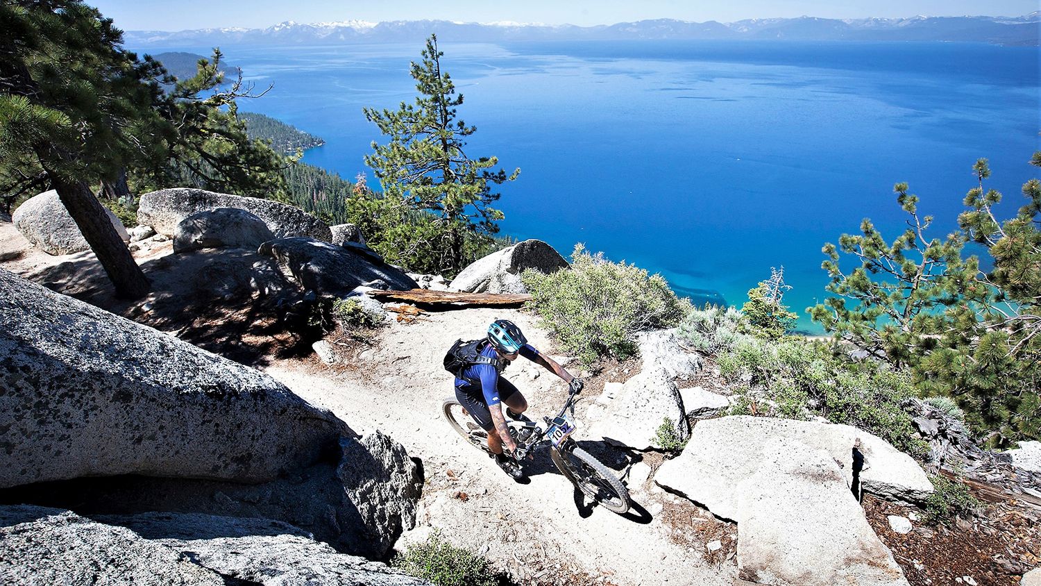
Rocky trails and magical views – MTB Tours in Nevada

Unforgettable MTB Adventures – IMBA Epic Trails in USA and Canada
Other adventures in Humboldt-Toiyabe National Forest


Tips from the Community


The Lakeview Commons is a nice beach to stop at to grab some pictures and enjoy the views. This very popular large beach allows you to walk out to the water and see the stunning view of the surrounding mountains. In the summer months, there are concessions here.
0
0

Rancho San Rafael Regional Park is a 580-acre park. It is Washoe County's largest park. This park is known for being the home of the Great Reno Balloon Race and its land extends north on the other side of McCarran Blvd.
0
0

Built to honor the history of the many Basque sheepherders who traveled to the Western United States to ply their trade, this monument stands at the head of many trails around Peavine Mountain. It's a peaceful place to stop before or after a ride and learn a little about the local history.
0
0
Miner's Trail is an easy ride downhill Evans Canyon but there area couple of side trail options you can take for more of a challenge. It's popular with hikers and dog walkers as well so keep an eye out for other trail users.
0
0

The letter "N" symbolizes Nevada, representing the University of Nevada. Crafted in the early 1900s, it was intended to showcase school pride and has been preserved ever since.
0
0

The entrance to the trailhead is at the end of the parking lot. The Lam Watah was saved from casino development by the Nature Conservancy. The trail holds a significant historical value with a Washoe Indian name meaning "permanent mortar by the stream." Enjoy the beautiful scenery and learn about the area's history through informative signs.
1
0
Explore the beauty of Rabe Meadows, a serene park featuring boardwalk trails that lead you to the captivating shores of Lake Tahoe. Great place for a quiet stroll.
1
0
Frequently Asked Questions
How many hiking trails are accessible from bus stations in Humboldt-Toiyabe National Forest?
There are over 15 hiking trails in Humboldt-Toiyabe National Forest that are conveniently accessible from bus stations, offering a range of experiences from easy strolls to more challenging treks.
Are there easy hiking options available directly from bus stops?
Yes, several easy hikes are accessible by bus. For example, the Lam Watah Historic Trailhead – Rabe Meadows Preserve loop from Stateline is an easy 4.9 km route with minimal elevation gain. Another great option is the Rabe Meadows Preserve – Nevada Beach and Campground loop from Stateline, also around 4.9 km and rated easy.
What are some moderate hiking trails I can reach by bus?
For a moderate challenge, consider the Miners Trail – Top of Evans Canyon loop from University of Nevada, Reno, which is about 8.6 km long. Another moderate option is the Billionaires' Row – Lakeshore Boulevard loop from Incline Village-Crystal Bay, spanning nearly 9 km with beautiful lakeside views.
Are there any challenging bus-accessible hikes for experienced trekkers?
Yes, for those seeking a more strenuous adventure, the Peavine Halo and Poedunk Loop offers a difficult 19 km hike with over 500 meters of elevation gain, providing a rewarding experience for seasoned hikers.
Can I find circular routes starting from bus stations?
Absolutely. Many of the bus-accessible trails are designed as loops, allowing you to start and end your hike at the same point without needing to retrace your steps. Examples include the Lam Watah Historic Trailhead – Rabe Meadows Preserve loop and the Miners Trail – Top of Evans Canyon loop.
What kind of natural features or attractions can I expect to see on these bus-accessible trails?
The Humboldt-Toiyabe National Forest offers a diverse range of natural beauty. Depending on the trail, you might encounter stunning mountain views, alpine lakes, and unique rock formations. Some routes may even lead you near seasonal waterfalls like Galena Creek Falls or offer panoramic vistas from points like Mount Rose Summit View. You could also explore canyons such as Keystone Canyon or Fletcher Canyon Narrows.
Are there any family-friendly hikes accessible by bus?
Yes, several easy and moderate trails are suitable for families. The shorter loop trails, such as the Lam Watah Historic Trailhead – Rabe Meadows Preserve loop, are excellent choices for families with children, offering manageable distances and interesting scenery.
Can I bring my dog on these bus-accessible trails?
Many trails within the Humboldt-Toiyabe National Forest are dog-friendly, but it's crucial to check specific trail regulations before you go. Always keep your dog on a leash and be prepared to pack out any waste. Respect wildlife and other hikers by ensuring your dog is well-behaved.
What is the best time of year to hike these bus-accessible trails?
The best time to hike in Humboldt-Toiyabe National Forest generally depends on the elevation. Lower elevation trails are often accessible year-round, though summer can be hot. Spring and fall offer pleasant temperatures and vibrant scenery. Higher elevation trails, especially those in the Sierra Nevada portions, are best from late spring through early fall, as snow can persist into early summer and return in late autumn.
What do other hikers enjoy most about the bus-accessible trails in Humboldt-Toiyabe National Forest?
The area is highly rated by the komoot community, with an average score of 4.7 stars. Reviewers often praise the diverse landscapes, from high desert to alpine peaks, and the convenience of accessing beautiful natural areas directly from public transport. The well-maintained trails and opportunities for solitude are also frequently highlighted.
Are there any specific permits or fees required for hiking these trails?
Most day hikes in the Humboldt-Toiyabe National Forest do not require specific permits or fees. However, if you plan to enter designated wilderness areas for overnight trips, or if you're accessing certain popular trailheads, permits might be necessary. Always check the official U.S. Forest Service website for the latest regulations before your trip.
What should I wear and bring for a hike in this region?
Given the diverse ecosystems and varying elevations, it's wise to dress in layers. Sturdy hiking boots, plenty of water, sun protection (hat, sunscreen), and snacks are essential. Depending on the season and trail difficulty, consider bringing a map, compass or GPS device, and rain gear. Weather can change rapidly, especially at higher altitudes.
Most popular routes in Humboldt-Toiyabe National Forest
Most popular attractions in Humboldt-Toiyabe National Forest

Get inspired with the komoot mobile app


Explore more
Browse the best Hikes in other regions.
