The best family-friendly hikes and walks in Humboldt-Toiyabe National Forest
4.7
(422)
6,802
hikers
93
hikes
If you’ve ever tried planning hiking in Humboldt-Toiyabe National Forest, you know how quickly the sheer number of options can feel overwhelming. With so many trails spanning such a vast and diverse landscape, it’s tough to tell which routes are genuinely worth your time and effort, and which are just filler. That’s where we come in. Our komoot community has mapped, walked, and reviewed countless routes here, and we’ve distilled that collective wisdom into a curated shortlist of the very…
Last updated: May 11, 2026
5.0
(2)
17
hikers
5.79km
01:45
180m
190m
The Escarpment Trail Loop offers a refreshing and accessible hike through the Spring Mountains near Mount Charleston. This easy 3.6-mile (5.8 km) loop, with its 603 feet (184 metres) of…
10
hikers
6.77km
02:02
360m
0m
The Barney Lake via Robinson Creek Trail offers a diverse and incredibly scenic hiking experience, starting with shaded paths through Jeffery pines and quaking aspens. You'll soon emerge into open…

Sign up for free
9
hikers
15.3km
05:44
630m
640m
The Relay Peak Loop offers a captivating journey through diverse terrain, from wildflower-filled meadows to dense pine forests, culminating in open alpine ridges. As you ascend, you'll be treated to…
5.0
(1)
8
hikers
42.1km
12:01
820m
1,290m
The Tahoe Rim Trail from Mt. Rose Summit to Spooner Summit is a demanding but incredibly rewarding hike, offering some of the most diverse scenery and expansive views in the…
5
hikers
3.79km
00:58
20m
10m
This easy 2.4-mile (3.8 km) hike along the Truckee River Trail, taking about 58 minutes, offers a refreshing urban escape from Wingfield Park to Idlewild Park. You'll enjoy continuous views…
Get access to more routes and recommendations from other explorers.
Sign up for free
Already have an account?
Our route recommendations are based on thousands of hikes, rides, and runs completed by other people on komoot.
Start today with a free account
Your next adventure awaits.
Login or Signup
Popular around Humboldt-Toiyabe National Forest

American Discovery Trail — Walking from sea to shining sea

The tour of your life – music trails on the Pacific coast
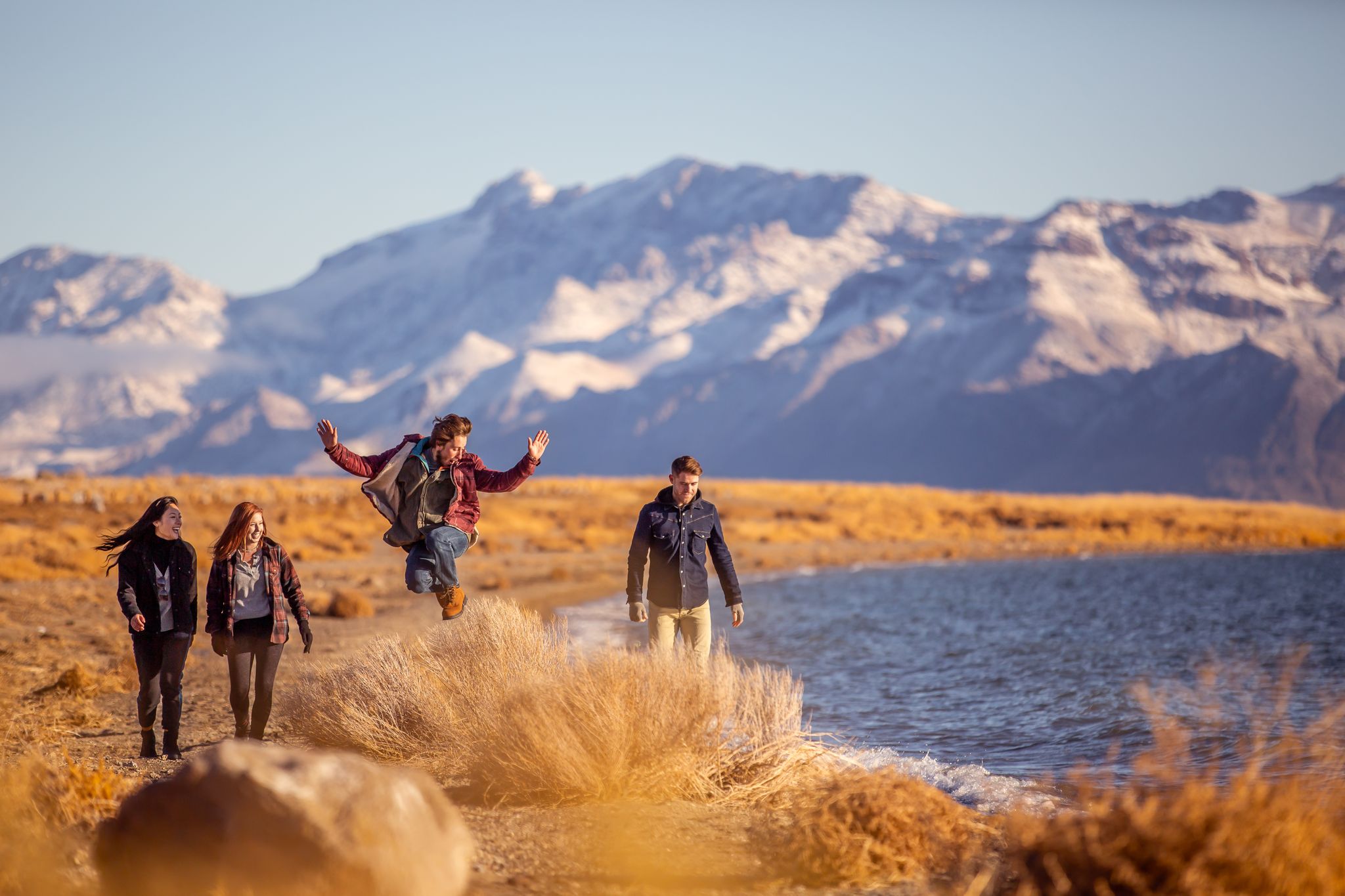
Basecamp Nevada – hiking Tours in the Silver State

Circumnavigating Lake Tahoe in the Sierra Nevada – Tahoe Rim Trail
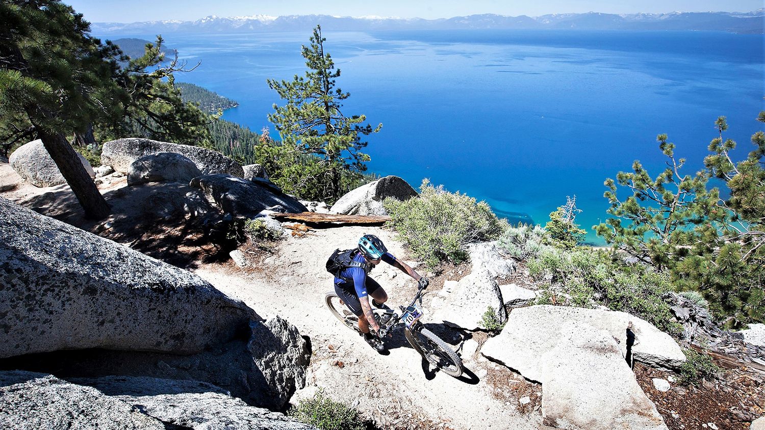
Rocky trails and magical views – MTB Tours in Nevada

Unforgettable MTB Adventures – IMBA Epic Trails in USA and Canada
Other adventures in Humboldt-Toiyabe National Forest


Tips from the Community

The Spring Mountains Visitor Gateway has a large parking lot and a visitor center with bathrooms and water faucets. Several hiking and MTB routes can be accessed from here. Sometimes wild horses and donkeys can be seen in this area (do not feed).
0
0

Barney Lake sits below the 11,346-foot Crown Point. The lake itself sits at an elevation of 8,258 feet and offers a nice sandy beach along the shore. It's a great day hike, as well as a great jumping off point for longer routes into the Eastern Sierra's.
0
0

Located just off the Tahoe Rim Trail in the Spooner Backcountry, Twin Lakes is a popular destination for hikers and bikers. The trail to Twin Lakes mostly follows an old logging road, and it's important to note that the lakes may not always be filled with water; the water can evaporate in the hot summer months.
0
0

Idlewild Park is one of the largest and well appointed parks in Reno. For runners the Crooked Mile Trail along the Truckee River is a highlight. You'll also find restrooms, playgrounds, ball fields, a rose garden and more. Idlewild also plays host to Food Truck Fridays through summer, which is one of the largest food truck events in the country.
0
0
This picturesque pond sits near the junction of a number of trails. Which makes it a good spot to have a drink and a rest before continuing on your ride.
0
0

From this location, you can enjoy an exceptional view of Marlette Lake and the majestic Lake Tahoe and the mountains of the Desolation Wilderness in California just behind it. At the junction, several trails and roads connect like the Tahoe Rim Trail and Marlette Lake Road. Marlette Peak Campground is just north of here along the Tahoe Rim Trail.
1
0

At 10,335 feet, Relay Peak belongs to the highest summits in the Lake Tahoe Basin and is the highest point on the Tahoe Rim Trail. Compared to its surrounding peaks, Relay Peak is rather easy to reach but still offers amazing views of the surrounding area and Lake Tahoe.
1
0
At the corner of the Forest Development Road and Rim to Rose / Third Creek Pond Trails, you will find this pond with the same name as the trail. If you're just returning from the summit of Mount Rose or some other hike, this might be a nice spot to take a little break and get ready for the way down. Otherwise, prepare yourself for the last part of your mountain climb!
0
0
Frequently Asked Questions
How many family-friendly hiking trails are there in Humboldt-Toiyabe National Forest?
Humboldt-Toiyabe National Forest offers a wide variety of hiking experiences, with over 90 trails in total. More than 50 of these are rated as easy, making them ideal for families looking for accessible and enjoyable outdoor adventures.
Are there easy trails suitable for young children or beginners?
Yes, the forest has many easy trails perfect for families with young children or those new to hiking. A great option is the Truckee River Trail: Wingfield Park to Idlewild Park, which is relatively flat and follows the scenic Truckee River. Another excellent choice is the Escarpment Trail Loop, offering gentle elevation changes and beautiful scenery.
Can we find trails with waterfalls in Humboldt-Toiyabe National Forest?
Absolutely! The forest is home to several picturesque waterfalls that can be a highlight for families. Consider visiting Galena Creek Falls, a beautiful seasonal waterfall along the Tahoe Rim Trail. Other notable waterfalls include Hunter's Creek Waterfall and Mary Jane Falls, which offer refreshing sights during your hike.
Are there any circular routes for families?
Yes, circular routes are a fantastic way to explore without retracing your steps. The Escarpment Trail Loop is an easy, family-friendly option that brings you back to your starting point. For those seeking a bit more challenge with stunning views, the Virginia Lakes Basin offers a scenic 6.6-mile loop passing numerous alpine lakes.
What about trails where we can bring our dog?
Many trails within Humboldt-Toiyabe National Forest are dog-friendly, but it's always best to check specific trail regulations before you go. Generally, dogs are welcome on leash in most areas. Ensure you pack enough water for your furry friend and clean up after them to keep the trails enjoyable for everyone.
Are there trails suitable for strollers?
While many trails in the forest feature natural, uneven terrain, some paths are more suitable for strollers. Look for paved or well-maintained gravel paths, particularly those in lower elevation areas or near visitor centers. The Truckee River Trail, for example, has sections that are generally stroller-friendly.
What kind of views can we expect on these family trails?
Humboldt-Toiyabe National Forest boasts incredibly diverse landscapes, offering breathtaking views. You can expect everything from towering, snow-capped peaks and expansive sage steppes to pinyon-juniper woodlands and subalpine meadows. Many trails provide panoramic vistas of mountain ranges like the Sierra Nevada and the Ruby Mountains, as well as serene alpine lakes such as Virginia Lake and the iconic Lake Tahoe.
When is the best time of year for family hiking in the forest?
The best time for family hiking largely depends on the elevation and specific area you plan to visit. Generally, late spring through early fall (May to October) offers the most favorable conditions, with pleasant temperatures and accessible trails. Higher elevation trails may still have snow into early summer. Always check local weather and trail conditions before heading out.
Are there any specific attractions or points of interest along these family trails?
Beyond the natural beauty, you'll find various points of interest. Many trails lead to or pass by beautiful lakes, such as Topaz Lake or Virginia Lake. You might also encounter historic sites or unique geological formations. The forest also contains sections of National Recreation and Historic Trails, offering glimpses into the region's rich past.
What do other hikers say about family-friendly trails in Humboldt-Toiyabe National Forest?
The komoot community highly rates the trails in Humboldt-Toiyabe National Forest, with an average score of 4.7 stars. Reviewers often praise the stunning natural beauty, the variety of terrain, and the peaceful solitude found on many of the paths. Families particularly appreciate the well-maintained easy trails and the opportunities to discover waterfalls and scenic viewpoints.
Is parking available at the trailheads?
Yes, most popular trailheads within Humboldt-Toiyabe National Forest offer designated parking areas. However, during peak seasons or on busy weekends, these can fill up quickly. It's always a good idea to arrive early, especially for well-known trails, to secure a spot. Some areas may require a day-use fee or a recreation pass.
What should we wear for a family hike in the summer?
For summer hikes, dressing in layers is key due to varying temperatures, especially with the forest's dramatic elevation changes. Opt for lightweight, breathable, moisture-wicking clothing. Sun protection is crucial, so bring hats, sunglasses, and sunscreen. Sturdy, comfortable hiking shoes are a must, and don't forget plenty of water for everyone.
Most popular routes in Humboldt-Toiyabe National Forest
Most popular attractions in Humboldt-Toiyabe National Forest

Get inspired with the komoot mobile app


Explore more
Browse the best Hikes in other regions.
