The best gravel rides in Humboldt-Toiyabe National Forest
4.5
(2)
88
riders
12
rides
Gravel biking in Humboldt-Toiyabe National Forest offers diverse terrain across a vast landscape. The region encompasses high desert, mountain ranges, and extensive forested areas, providing varied surfaces for gravel cyclists. Elevations range significantly, with routes often traversing valleys and climbing into higher alpine environments. The trails are characterized by a mix of unpaved roads, fire roads, and singletrack sections suitable for gravel bikes.
Best gravel bike trails in Humboldt-Toiyabe National Forest
- The most popular gravel bike trail is Capital to…
Last updated: July 7, 2026
52.5km
06:14
1,380m
1,380m
Hard gravel ride. Very good fitness required. Mostly paved surfaces. Suitable for all skill levels.
14
riders
21.5km
01:49
270m
270m
Moderate gravel ride. Good fitness required. Mostly paved surfaces. Suitable for all skill levels.

Sign up for free
9
riders
27.2km
02:17
280m
280m
Moderate gravel ride. Good fitness required. Mostly paved surfaces. Suitable for all skill levels.
4.0
(1)
11
riders
33.0km
02:19
310m
310m
Moderate gravel ride. Good fitness required. Mostly paved surfaces. Suitable for all skill levels.
38
riders
113km
08:32
1,450m
1,450m
Hard gravel ride. Very good fitness required. Mostly paved surfaces. Suitable for all skill levels.
Get access to more routes and recommendations from other explorers.
Sign up for free
Already have an account?
Our route recommendations are based on thousands of hikes, rides, and runs completed by other people on komoot.
Start today with a free account
Your next adventure awaits.
Login or Signup
Popular around Humboldt-Toiyabe National Forest

American Discovery Trail — Walking from sea to shining sea

The tour of your life – music trails on the Pacific coast
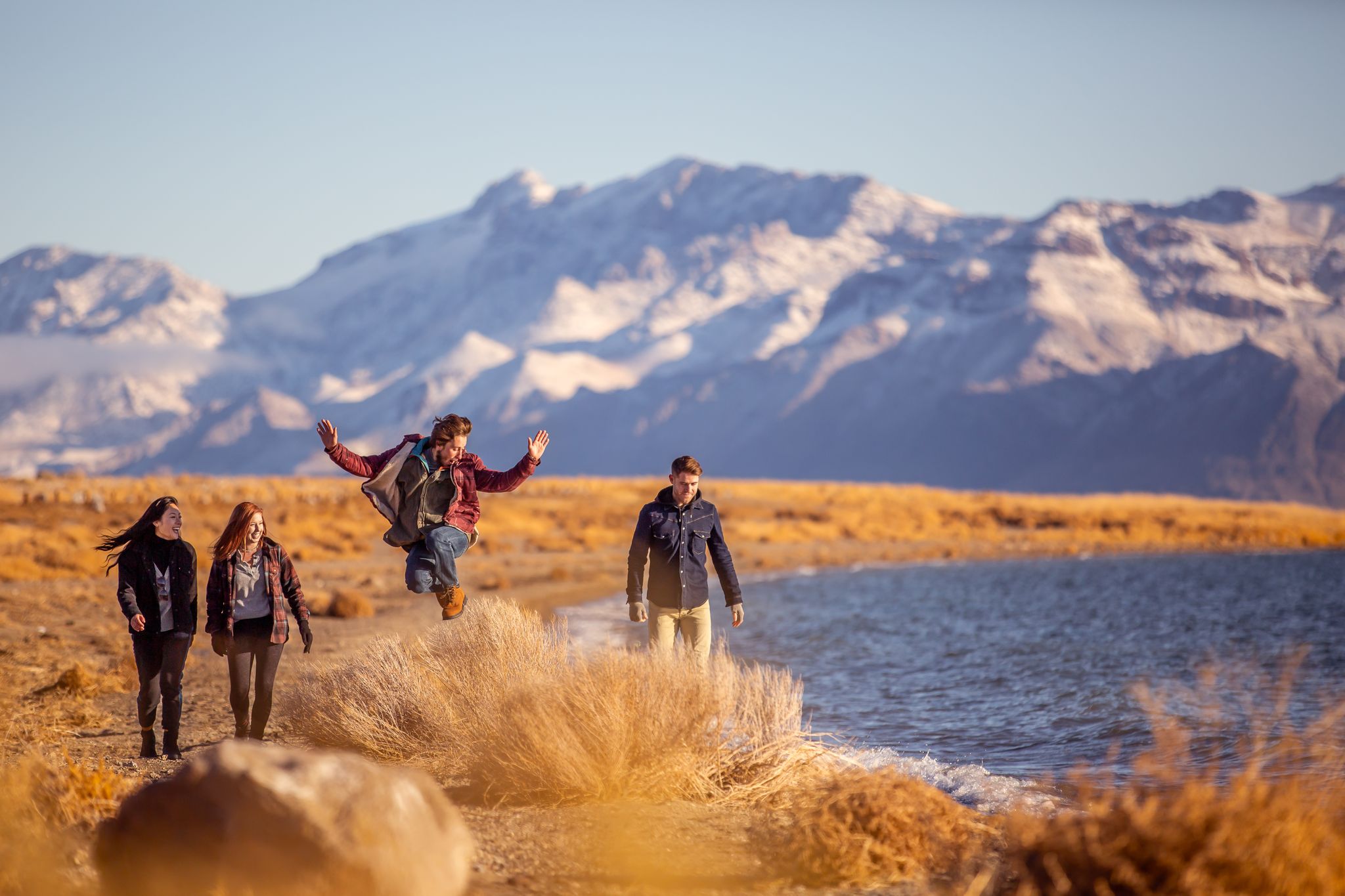
Basecamp Nevada – hiking Tours in the Silver State
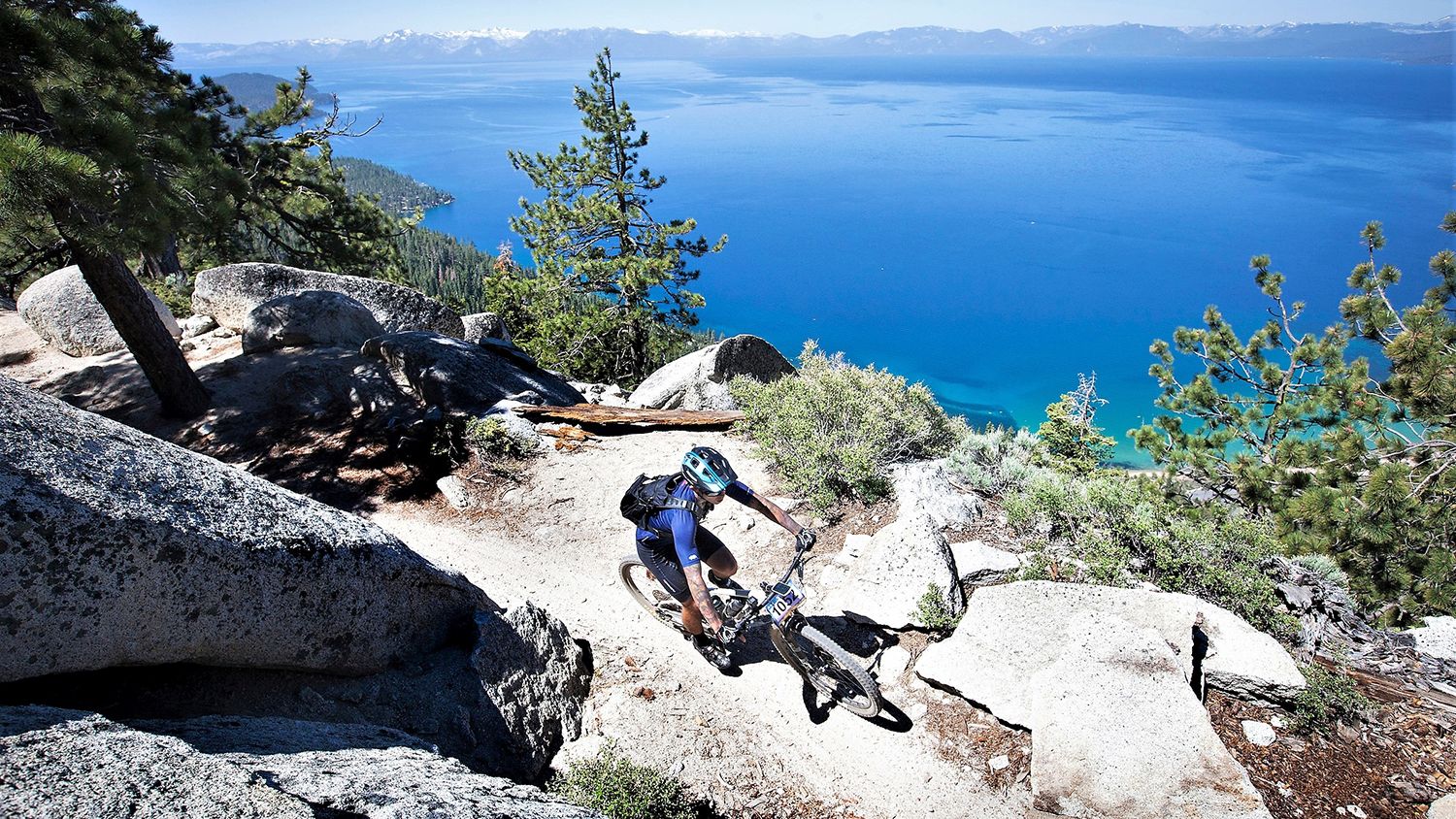
Rocky trails and magical views – MTB Tours in Nevada

Circumnavigating Lake Tahoe in the Sierra Nevada – Tahoe Rim Trail

Unforgettable MTB Adventures – IMBA Epic Trails in USA and Canada
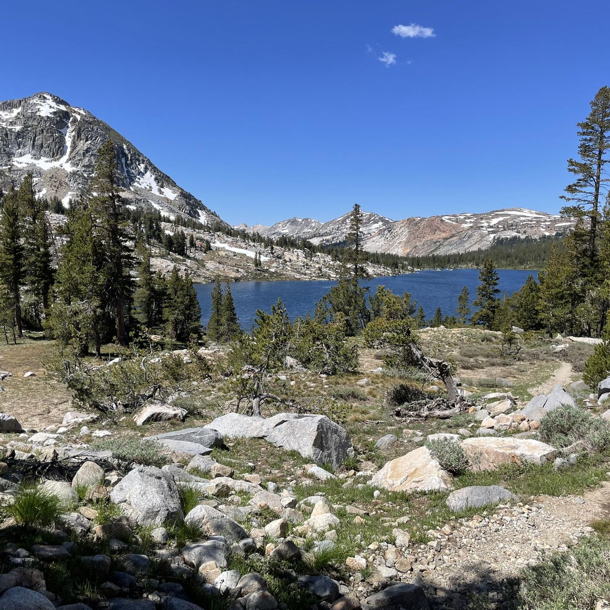
Hiking in Humboldt-Toiyabe National Forest
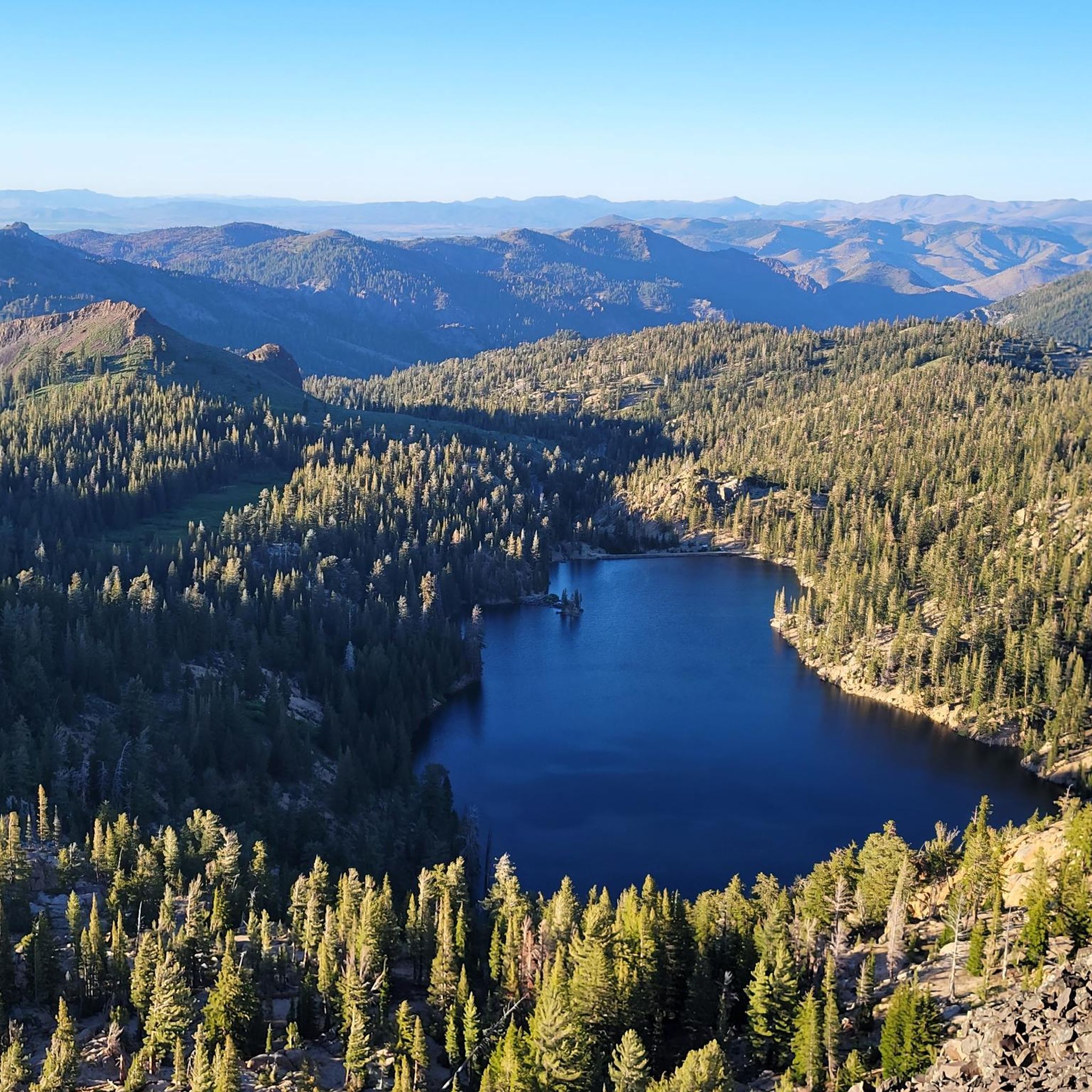
Road Cycling Routes in Humboldt-Toiyabe National Forest
MTB Trails in Humboldt-Toiyabe National Forest
Running Trails in Humboldt-Toiyabe National Forest
Other adventures in Humboldt-Toiyabe National Forest


Tips from the Community

This is a fun, non-technical ride in its own right, and also an access route for the Capital to Tahoe Trail. Actually, it's arguably the longest access route — but it comes with the bonus of being able to bike straight to Lake Tahoe from urban Carson City.
0
0


Really cool bridge across the Truckee river. There's picnic tables just off the bridge in a nice shaded area. You can access the river here as well which is a great way to cool off in the summer. The colors in the fall are stunning as well!
1
0
This popular riverside park has a wide paved path, river access, and many more trails across the river leading to Steamboat Ditch & beyond. Mayberry Park also lies along the Tahoe to Pyramid Cycleway which connects the two lakes while mostly paralleling the Truckee River.
0
0
The Southwest corner of Reno is built into the side of the foothills of the surrounding mountains. Due to this unique topography you can escape the city while still being surrounded by it. The Steamboat Ditch Trail runs for dozens of miles across south Reno, and provides access to a wonderful stretch of trails that go from neighborhood to neighborhood by snaking along the edges of the many gorges, gulleys, and canyons.
0
0

The Capital to Tahoe Trail is a brandnew single-track trail that was opened in July 2023. Over 16 miles, it connects Carson City to Tahoe and serves for mountain bikers, hikers and equestrians.
2
0
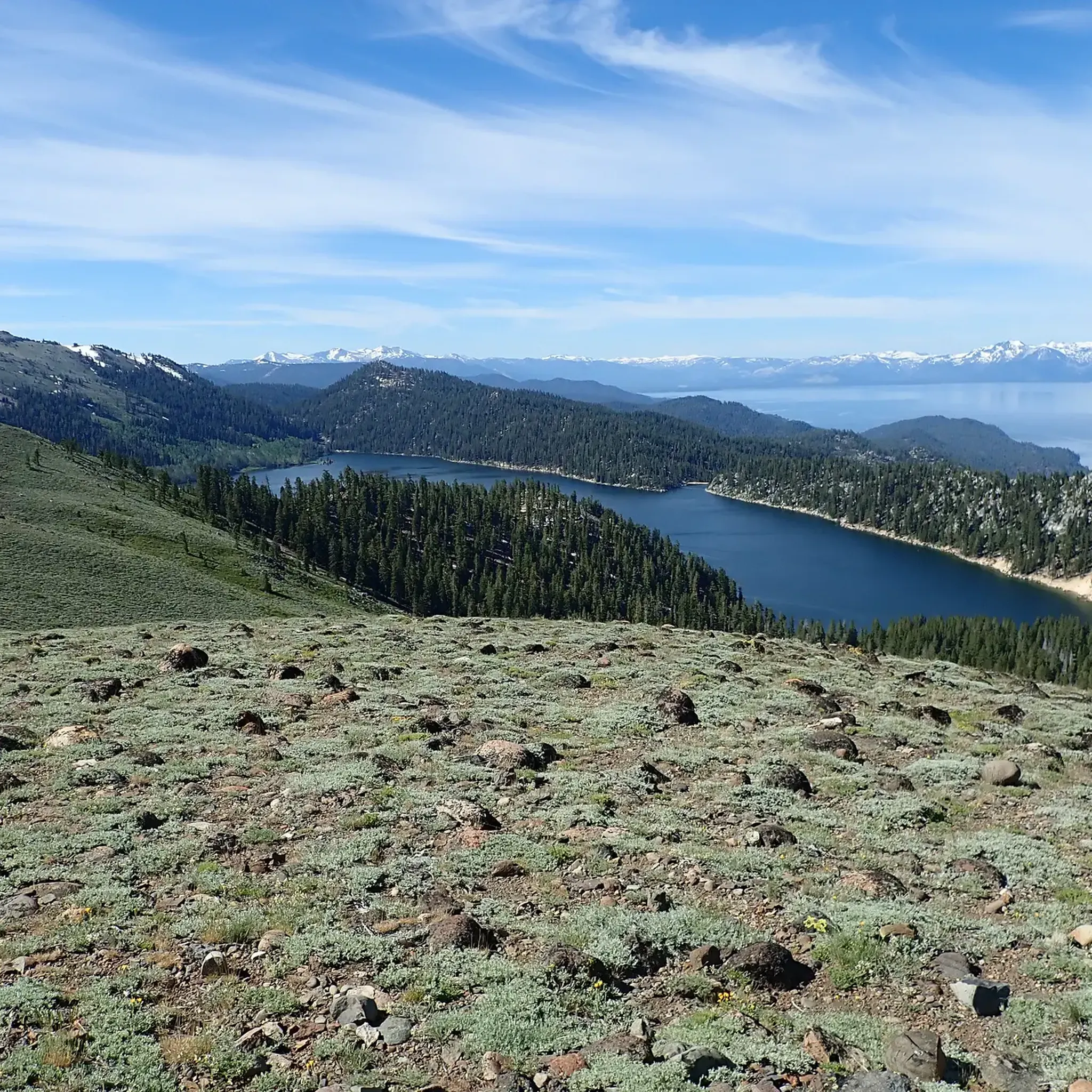
From this location, you can enjoy an exceptional view of Marlette Lake and the majestic Lake Tahoe and the mountains of the Desolation Wilderness in California just behind it. At the junction, several trails and roads connect like the Tahoe Rim Trail and Marlette Lake Road. Marlette Peak Campground is just north of here along the Tahoe Rim Trail.
1
0
The Southwest corner of Reno is built into the side of the foothills of the surrounding mountains. Due to this unique topography you can escape the city while still being surrounded by it. The Steamboat Ditch Trail runs for dozens of miles across south Reno, and provides access to a wonderful stretch of trails that go from neighborhood to neighborhood by snaking along the edges of the many gorges, gulleys, and canyons.
0
0
Frequently Asked Questions
How many gravel bike trails are available in Humboldt-Toiyabe National Forest?
Humboldt-Toiyabe National Forest offers a diverse network of over 10 gravel bike routes. These range from easy paths to challenging mountain climbs, catering to various skill levels.
What is the general difficulty level of gravel biking in Humboldt-Toiyabe National Forest?
The trails in Humboldt-Toiyabe National Forest present a mix of difficulties. While there are a few easy routes, the majority are moderate to difficult, often featuring significant elevation changes and varied terrain. For example, the Capital to Tahoe Trail is rated difficult, covering 32.6 miles with substantial climbing.
Are there easy gravel bike trails suitable for beginners or families?
Yes, there are options for easier rides. The Mary Gojack Park loop from Donner Springs is a moderate 13.3-mile path that offers a more accessible experience through parklands and suburban edges, suitable for those looking for a less strenuous ride.
Which gravel bike routes offer the most scenic views or viewpoints?
Many routes in the region boast incredible scenery. For breathtaking vistas, consider routes that venture towards the Lake Tahoe area, such as the Marlette Flume and Tahoe Rim Trail Loop, which provides stunning views of the lake and surrounding mountains. You can also find scenic overlooks like Mount Rose Summit View.
Are there any routes that feature waterfalls or other natural monuments?
Yes, the Humboldt-Toiyabe National Forest is home to several beautiful natural features. You can find waterfalls like Galena Creek Falls and Hunter's Creek Waterfall, which might be accessible from or near certain gravel routes. Always check the specific route details for proximity.
When is the best time of year to go gravel biking in Humboldt-Toiyabe National Forest?
The best time for gravel biking is typically from late spring through early autumn (May to October). During these months, the weather is generally mild, and trails are clear of snow. Higher elevation routes might open later in the season due to snowmelt.
Is gravel biking possible during winter in Humboldt-Toiyabe National Forest?
Winter gravel biking can be challenging due to snow and ice, especially at higher elevations. Some lower elevation routes or paved sections might be rideable, but conditions can vary greatly. It's essential to check local weather and trail conditions before heading out in winter.
Are there any challenging gravel bike routes for experienced riders?
Absolutely. Experienced riders seeking a challenge will appreciate routes like the Genoa – Nevada State Railroad Museum loop from Carson & Mills Park Railroad. This extensive 70.1-mile trail features significant elevation gain and traverses historical areas and open landscapes, often taking around 10 hours to complete.
What do other gravel bikers enjoy most about gravel biking in Humboldt-Toiyabe National Forest?
The area is highly rated by the komoot community, with an average score of 5.0 stars. Reviewers often praise the diverse terrain, from high desert to alpine environments, and the sense of adventure offered by the extensive network of unpaved roads and trails.
Are there any loop trails for gravel biking in the region?
Yes, several routes are designed as loops, allowing you to start and end at the same point. The Marlette Lake – Marlette Flume Trail loop from Glenbrook is a popular 33.8-mile option that provides a circular journey through scenic landscapes.
Can I expect to see wildlife while gravel biking in the National Forest?
As a National Forest, Humboldt-Toiyabe is home to diverse wildlife. Riders often report sightings of deer, various bird species, and occasionally larger mammals. Staying quiet and observant, especially during dawn and dusk, increases your chances of encountering local fauna.
Most popular routes in Humboldt-Toiyabe National Forest
Most popular attractions in Humboldt-Toiyabe National Forest

Get inspired with the komoot mobile app


Explore more
Browse the best Gravel rides in other regions.
