The best family-friendly hikes and walks around Alto Guadalentín
4.5
(3620)
14,233
hikers
354
hikes
Family friendly hiking trails around Alto Guadalentín offer diverse landscapes, from coastal paths to mountainous terrain. The region, located in Murcia, Spain, features a mix of plains, riverbeds, and elevated areas, providing varied environments for outdoor activities. The Guadalentín river carves through the landscape, creating natural corridors, while the Rambla de Algeciras Reservoir adds serene waterscapes. Mediterranean scrub, including aromatic plants, characterizes the flora, making for pleasant walks.
Best family friendly hiking trails around Alto Guadalentín
- The most popular family friendly hiking route is Tour of Calarreona beaches, a 4.3 miles (6.9 km) trail that takes 1 hour 47 minutes to complete. This easy route offers coastal views along the beaches.
- Another top favourite among local hikers is Tour along the Cope Marina Trail (SL-MU 23), an easy 3.0 miles (4.8 km) path. This route provides a shorter adventure with minimal elevation gain near the marina.
- Local hikers also love the From Puerto de Mazarrón to the Gredas de Bolnuevo, a 4.1 miles (6.5 km) trail leading through coastal scenery, often completed in about 1 hour 39 minutes.
- Hiking around Alto Guadalentín is defined by coastal paths, riverbeds with dense vegetation, and mountainous highlands. The network offers options for different ability levels, including many easy family friendly hiking trails.
- The routes in Alto Guadalentín are highly rated by the komoot community with an average score of 4.5 stars from over 3,200 reviews. More than 13,000 hikers have used komoot to explore Alto Guadalentín's varied terrain.
Last updated: July 3, 2026
4.7
(22)
68
hikers
6.86km
01:47
40m
40m
Easy hike. Great for any fitness level. Easily-accessible paths. Suitable for all skill levels.
4.7
(30)
85
hikers
11.2km
03:13
280m
280m
The Sierra Espuña Regional Park — From Aledo to the Santuario de Santa Eulalia de Mérida (PR-MU 64) immerses you in a diverse Mediterranean landscape, starting at the historic Santuario de Santa Eulalia and winding through pine forests, almond groves, and olive fields. The route offers spectacular views from the Mirador de la Virgen Blanca, where you can take in the vastness of Sierra Espuña and the majestic Morrón de Espuña. It's an experience that combines the tranquility of the forest with the beauty of cultivated fields, ideal for unwinding and enjoying nature. Prepare for an 11.2-kilometer journey that will take approximately 3 hours and 10 minutes.
This moderate hiking route is perfect for those seeking an accessible yet rewarding walk, with an elevation gain of 252 meters. The trail is well-marked with white and yellow blazes, making navigation easy. We recommend starting your adventure at the Santuario de Santa Eulalia de Mérida, where you'll find a culturally significant starting point. It's advisable to plan your visit during milder seasons, such as spring or autumn, to fully enjoy the weather and surroundings.
The Sierra Espuña Regional Park is a protected natural area, known for its rich biodiversity and historic reforestation efforts. This route allows you to connect with a "historic forest" and appreciate the region's ecological transformation. Additionally, you have the option to detour via the PR-MU 65 route to explore the picturesque village of Aledo, with its castle and the ancient Arco de Aledo, adding a cultural touch to your day.

Sign up for free
5.0
(14)
46
hikers
6.55km
01:39
10m
10m
Easy hike. Great for any fitness level. Easily-accessible paths. Suitable for all skill levels.
5.0
(2)
22
hikers
13.9km
04:47
550m
550m
Hike the moderate 8.6-mile Parque Regional de la Sierra Espuña loop, offering panoramic views and diverse Mediterranean landscapes.
4.3
(3)
9
hikers
4.76km
01:14
30m
30m
Easy hike. Great for any fitness level. Easily-accessible paths. Suitable for all skill levels.
Get access to more routes and recommendations from other explorers.
Sign up for free
Already have an account?
Our route recommendations are based on thousands of hikes, rides, and runs completed by other people on komoot.
Start today with a free account
Your next adventure awaits.
Login or Signup
Popular around Alto Guadalentín
Family-friendly hikes in Sierra Espuña
Family-friendly hikes around National Park Sierra Espuña

Family-friendly hikes in Sierra De La Muela

Family-friendly hikes in Zepa Llano De Las Cabras

Family-friendly hikes in Cabo Cope Y Puntas De Calnegre

Family-friendly hikes around National Park Cabo Cope y Puntas de Calnegre

Family-friendly hikes in Zepa Saladares Del Guadalentín
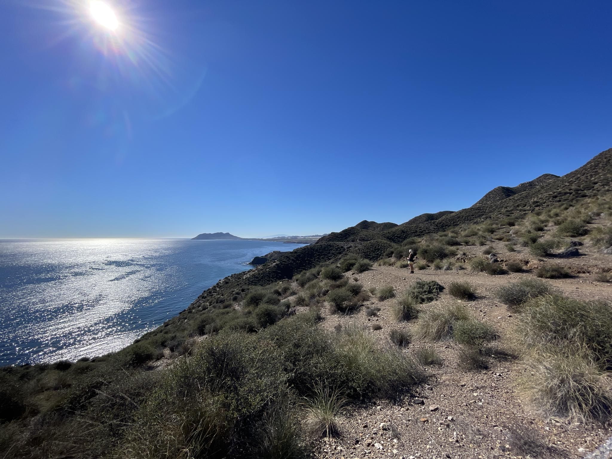
Mediterranean industry and nature – hike the GR 92 in Murcia
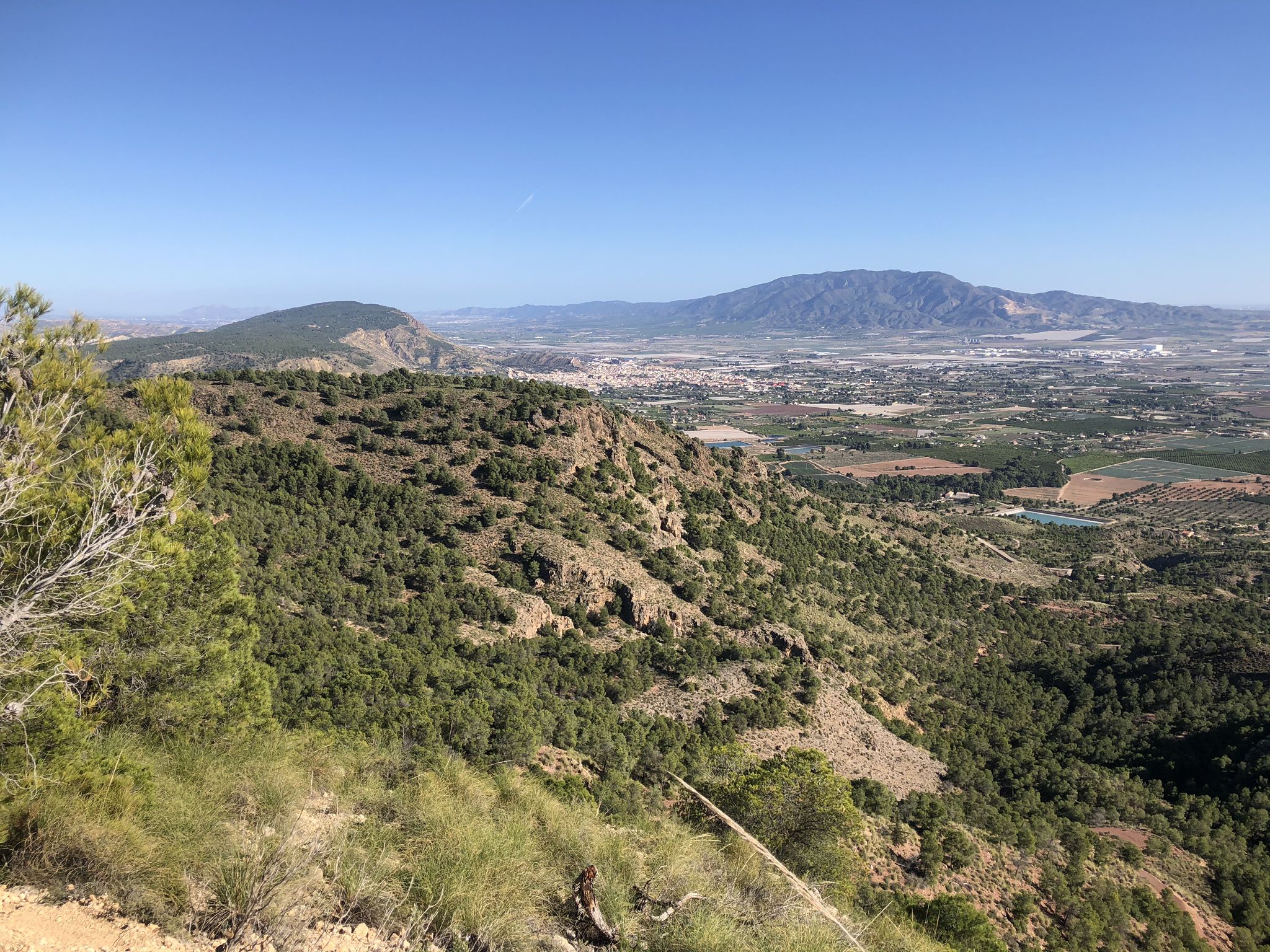
The lungs of Murcia in Spain – Sierra Espuña

On the road to the sun — bikepacking to southeast Spain
Other adventures around Alto Guadalentín


Tips from the Community

Stop in Aledo to explore its narrow streets and get closer to the Torre del Homenaje, the main vestige of its old fortress. From the upper part of the town, wide views open up towards Sierra Espuña and the fields of the Guadalentín valley.
1
0

Top beach, running, swimming, climbing, everything is possible
1
0

A natural monument, the enchanting town of Bolnuevo is one of the most beautiful places in the region, so much so that the rock formations, known as "mushrooms," have been declared a natural monument.
14
1

Beautiful views of the Pedro López peak
0
0

Spectacular views of the Sierra from the Tower of Homage
0
0
Cruce de los Molejones, at this point several paths and roads converge
0
0
Hermitage of Santa Eulalia
0
1

The former monastery has been converted into a hotel with a lovely café in the courtyard. The monastery church is very fascinating with wonderful works of art. A visit to this contemplative place is definitely worthwhile.
1
0
Frequently Asked Questions
How many family-friendly hiking trails are available in Alto Guadalentín?
Alto Guadalentín offers a wide selection of family-friendly hiking trails. You'll find over 350 routes suitable for various skill levels, with 135 of them being easy, perfect for families with children.
What kind of terrain can we expect on family hikes in Alto Guadalentín?
The region boasts diverse landscapes. You can expect trails that traverse coastal areas, like the easy From Puerto de Mazarrón to the Gredas de Bolnuevo, or inland routes through Mediterranean scrubland and agricultural areas, such as the orchards around Lorca. Many paths feature minimal elevation gain, making them comfortable for all family members.
Are there any easy coastal walks suitable for families?
Yes, Alto Guadalentín offers several easy coastal walks. The Tour of Calarreona beaches is a great option, covering about 6.8 km with very little elevation change, allowing your family to enjoy the Mediterranean shores. Another excellent choice is the Tour along the Cope Marina Trail (SL-MU 23), which is just under 5 km and also very flat.
What natural features or landmarks can we see on family hikes?
Many trails offer opportunities to discover the region's natural beauty. You can explore stunning coastal formations like the Gredas de Bolnuevo, or enjoy serene waters at the Rambla de Algeciras Reservoir. For those interested in unique geological formations, some routes pass near fascinating caves. You might also encounter picturesque viewpoints, such as those leading to the Mirador de la Aguilica, offering breathtaking vistas.
Are there any trails that pass by interesting caves or beaches?
Absolutely! The region has several highlights that combine hiking with natural wonders. You can find trails near the beautiful Los Cocedores Beach or explore areas with unique cave dwellings like Cave Houses at Cala de los Cocedores. The Cave of Wolves is another intriguing spot to discover.
What is the best time of year for family hiking in Alto Guadalentín?
The semi-arid climate of Alto Guadalentín makes spring and autumn ideal for family hiking. The temperatures are milder, and the Mediterranean flora is vibrant. Summer can be quite hot, especially inland, so if you hike during this season, coastal routes or early morning/late afternoon walks are recommended.
Are there any circular routes suitable for families?
Yes, many of the family-friendly trails in Alto Guadalentín are designed as circular routes, allowing you to start and end at the same point without retracing your steps. This is often convenient for families, especially when driving to the trailhead.
What do other hikers say about the family-friendly trails in Alto Guadalentín?
The komoot community highly rates the trails in Alto Guadalentín, with an average score of 4.48 out of 5 stars. Reviewers often praise the diverse landscapes, the accessibility of many routes for all ages, and the opportunity to combine hiking with coastal views or cultural exploration.
Are there any longer, moderate trails for families with older children?
For families with older children or those seeking a bit more challenge, there are moderate trails available. The Parque Regional de la Sierra Espuña — From Aledo to the Santuario de Santa Eulalia de Mérida (PR-MU 64) is a moderate 11 km route with some elevation, offering a rewarding experience through the regional park.
Is parking generally available at trailheads for family hikes?
While specific parking details vary by trailhead, many popular family-friendly hiking areas and coastal access points in Alto Guadalentín offer designated parking facilities. It's always a good idea to check route descriptions or local information for specific parking recommendations before you go.
Can we find viewpoints or mountain passes on family-friendly routes?
Yes, the region's mountainous terrain means many trails offer fantastic viewpoints. While some mountain passes might be part of more challenging routes, you can find accessible paths that lead to scenic overlooks. For example, areas around Collado Bermejo or Puerto de las Crucecicas offer stunning vistas, and some easier trails provide similar panoramic experiences.
Most popular routes around Alto Guadalentín
Most popular attractions around Alto Guadalentín

Get inspired with the komoot mobile app


Didn’t find what you were looking for?
Check out more Hikes throughout Alto Guadalentín below and find the perfect route in your destination.
Explore more
Browse the best Hikes in other regions.
