The best waterfall hikes and walks around Alto Guadalentín
4.5
(3620)
14,233
hikers
5
hikes
Waterfall hiking trails around Alto Guadalentín traverse a region characterized by diverse topography, including mountains, highlands, and coastal areas. The semi-arid climate supports distinctive Mediterranean scrubland with aromatic plants. Geological features such as gullies, badlands, and ravines contribute to varied terrain, while the Guadalentín river carves through the landscape. This blend of natural elements offers a range of hiking experiences.
Best waterfall hiking trails around Alto Guadalentín
- The most popular waterfall hiking route is Hiking loop from Cabezo de los Castillicos, an easy 2.7 miles (4.4 km) trail that takes 1 hour 20 minutes to complete. This route offers a gentle introduction to the region's varied landscapes.
- Another top favourite among local hikers is Usero Waterfall – Salto del Usero loop from Río Mula, an easy 4.1 miles (6.7 km) path. This trail leads through riverine scenery, culminating at the Usero Waterfall.
- Local hikers also love the Cueva de los Mataos – Airplane Viewpoint loop from Cabezo de los Castillicos, a 7.5 miles (12.0 km) trail leading through mountainous terrain and offering panoramic views, often completed in about 3 hours 30 minutes.
- Hiking around Alto Guadalentín is defined by diverse topography, semi-arid landscapes, and geological formations. The network offers options for different ability levels, from easy strolls to moderate ascents.
- The routes in Alto Guadalentín are highly rated by the komoot community with an average score of 4.5 stars from over 2,200 reviews. More than 9,900 hikers have used komoot to explore Alto Guadalentín's varied terrain.
Last updated: July 3, 2026
4.3
(4)
10
hikers
4.40km
01:21
160m
160m
Easy hike. Great for any fitness level. Easily-accessible paths. Suitable for all skill levels.
4.5
(2)
11
hikers
6.68km
01:53
140m
140m
Easy hike. Great for any fitness level. Easily-accessible paths. Suitable for all skill levels.

Sign up for free
3
hikers
Moderate hike. Good fitness required. Mostly accessible paths. Sure-footedness required.
2
hikers
6.42km
01:55
190m
190m
Easy hike. Great for any fitness level. Easily-accessible paths. Suitable for all skill levels.
2
hikers
11.5km
03:29
380m
370m
Moderate hike. Good fitness required. Easily-accessible paths. Suitable for all skill levels.
Our route recommendations are based on thousands of hikes, rides, and runs completed by other people on komoot.
Start today with a free account
Your next adventure awaits.
Login or Signup
Popular around Alto Guadalentín

Waterfall hikes in Sierra Espuña

Waterfall hikes around National Park Sierra Espuña

Waterfall hikes in Zepa Saladares Del Guadalentín

Waterfall hikes in Sierra De La Muela
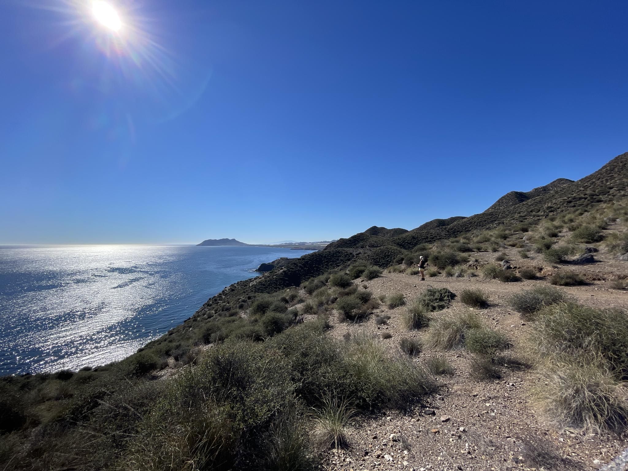
Mediterranean industry and nature – hike the GR 92 in Murcia
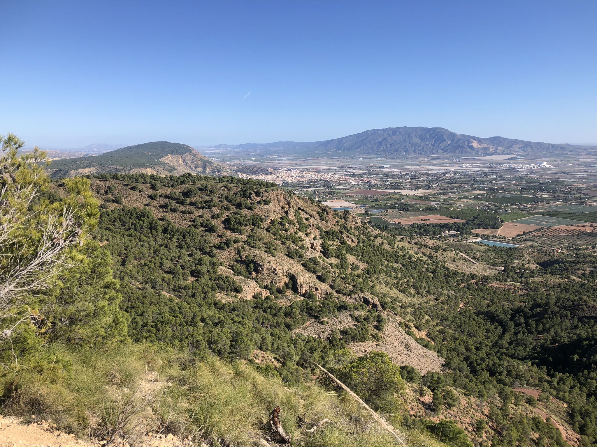
The lungs of Murcia in Spain – Sierra Espuña

On the road to the sun — bikepacking to southeast Spain
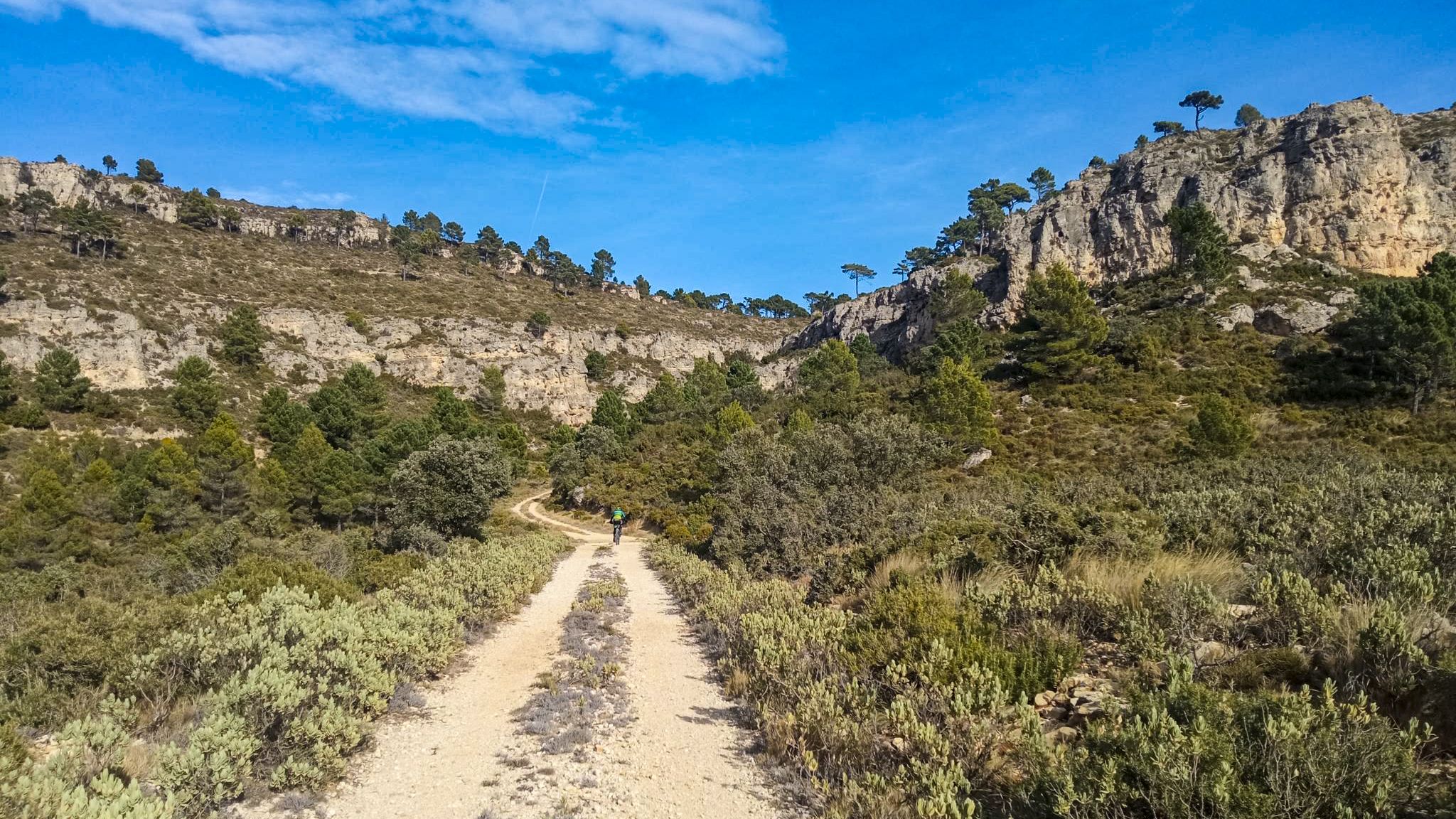
10 gravel routes to discover hidden gems in Spain
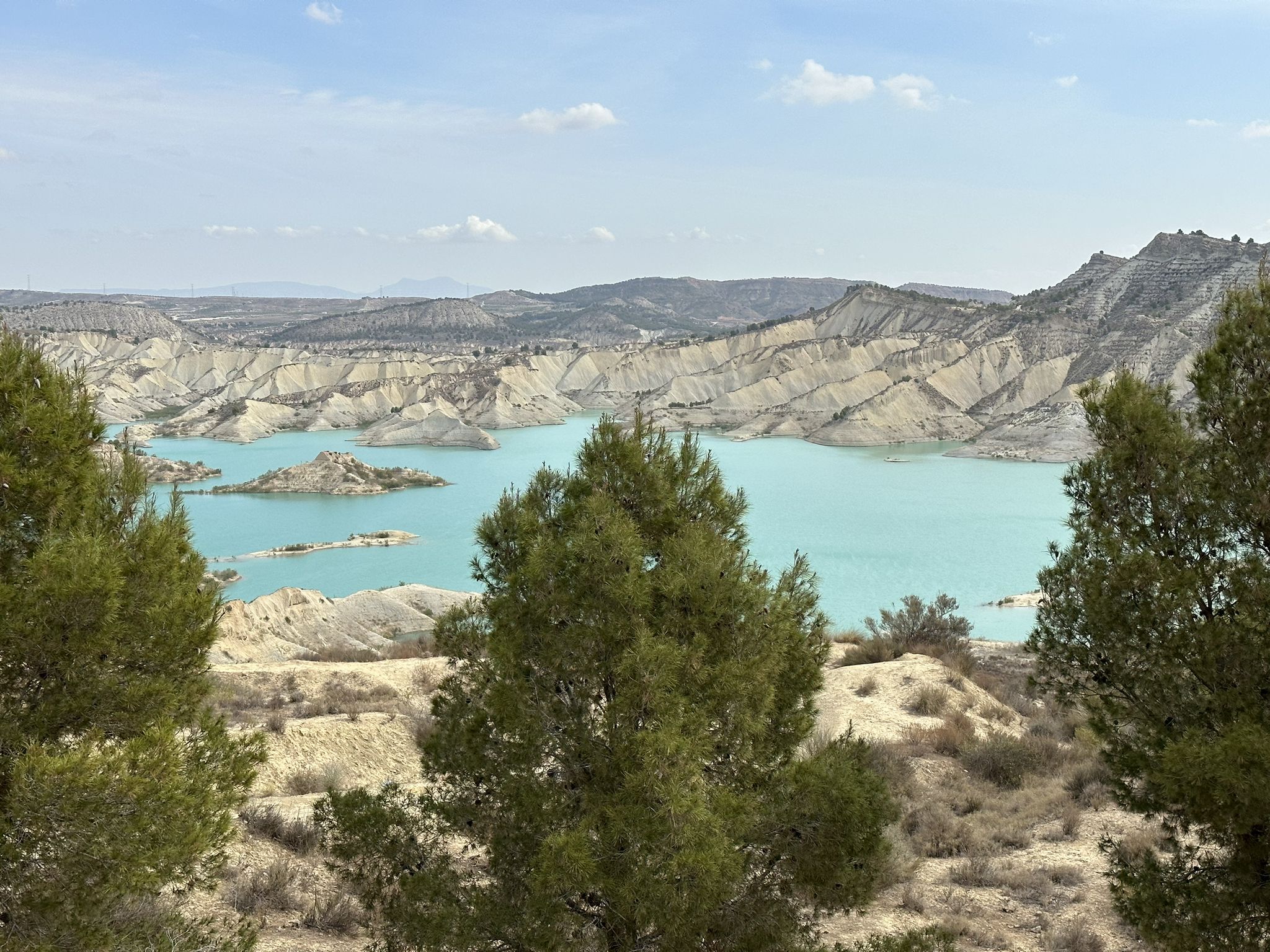
Disconnection in the mountains – Sierra Espuña by MTB
A ride through the "Huerta de Europa" – Transmurciana on MTB
Other adventures around Alto Guadalentín


Tips from the Community

Open at all times, wonderfully refreshing in summer, very beautiful nature
0
0

A beautiful place near Bullas, it's worth a visit.
0
1
At the Visitor Centre, visitors can learn firsthand about the natural values of Sierra Espuña, such as the flora and fauna, the geological history and the hydrological-forestry restoration actions of the late 19th century, as well as information on the cultural values of this protected natural space.
0
1

This section of the Water Trail is a route that you cannot miss, including the Salto del Molinico, a waterfall that was used in ancient times for grinding grain.
0
0
As a result of the drought and reforms in the channel, the pool is dry.
0
0

Salto del Usero is a beautiful natural space located in the municipality of Bullas, in the Region of Murcia. This place is known for its impressive waterfall that falls through a limestone rock, forming an open dome and a pool of turquoise water. To get to Salto del Usero, you need to take a short walk of approximately 1.5 km from the parking lot. During the high season, such as summer and holidays, it is necessary to make a reservation in advance to limit capacity and preserve the environment. It is an ideal place to enjoy nature, go hiking and, during times of less affluence, enjoy a swim in its fresh waters. 😊
6
0
Several very entertaining routes and then lunch at the restaurant
0
0
The Salto del Usero area is one of the most beautiful natural spaces in Murcia. It is located in the municipality of Bullas, on the northwest slope of the Castellar hill, through which the waters of the Mula river pass. This spectacular corner is worth visiting at any time of the year, but especially during the summer and the night of San Juan, when the traditional Bajada de la Mora is celebrated. If you have the opportunity to visit it, you will enjoy waterfalls, natural baths and a stunning natural environment. Do not miss it! 🌿🌊
4
0
Frequently Asked Questions
How many waterfall hiking trails are available in Alto Guadalentín?
Alto Guadalentín offers a selection of 5 dedicated waterfall hiking trails. These routes cater to various skill levels, with 2 easy and 3 moderate options, ensuring there's a suitable path for most hikers.
What is the best time of year to hike waterfall trails in Alto Guadalentín?
The semi-arid climate of Alto Guadalentín means that spring and autumn are generally the most pleasant times for hiking, offering milder temperatures. While the Guadalentín river is often irregular, significant rainfall can enhance waterfall flows, making late winter or early spring particularly scenic for these specific trails.
Are there any easy waterfall hikes suitable for beginners or families?
Yes, there are several easy options. The Hiking loop from Cabezo de los Castillicos is an easy 4.4 km trail, and the Usero Waterfall – Salto del Usero loop from Río Mula is another easy 6.7 km path that leads directly to the Usero Waterfall, making it a great choice for a more relaxed experience.
What kind of natural features can I expect to see on these waterfall hikes?
Beyond the waterfalls themselves, these trails traverse diverse landscapes. You'll encounter distinctive Mediterranean scrubland with aromatic plants like thyme and rosemary, as well as unique geological features such as gullies, badlands, and ravines carved by the Guadalentín river system. The varied topography includes mountains and highlands, offering dynamic scenery.
Are there any longer or more challenging waterfall hikes in the region?
For those seeking a moderate challenge, the Cueva de los Mataos – Airplane Viewpoint loop from Cabezo de los Castillicos is a 12.0 km trail that takes about 3 hours 30 minutes to complete. This route leads through mountainous terrain and provides panoramic views, offering a more extensive hiking experience.
What do other hikers say about the waterfall trails in Alto Guadalentín?
The komoot community highly rates the trails in Alto Guadalentín, with an average score of 4.5 stars from over 2,200 reviews. Hikers often praise the diverse topography, the unique semi-arid landscapes, and the geological formations that make each route distinct and engaging.
Are there any circular routes among the waterfall hikes?
Yes, several of the waterfall trails are designed as circular routes, allowing you to start and end at the same point. Examples include the Hiking loop from Cabezo de los Castillicos and the Usero Waterfall – Salto del Usero loop from Río Mula, which are both easy circular options.
What other attractions are near the waterfall hiking areas in Alto Guadalentín?
While exploring the waterfall trails, you can also discover other natural and historical attractions. Notable nearby sites include the unique Bolnuevo Sandstone Formations, the tranquil Rambla de Algeciras Reservoir, and the scenic Los Cocedores Beach. For historical interest, consider visiting the Cope Tower or the Hermitage of Santa Eulalia.
Are there any trails that offer panoramic views in addition to waterfalls?
Yes, some routes combine the beauty of waterfalls with expansive vistas. The Cueva de los Mataos – Airplane Viewpoint loop from Cabezo de los Castillicos, for instance, not only takes you through varied terrain but also leads to viewpoints offering stunning panoramic scenes of the surrounding area.
What is the typical duration for these waterfall hikes?
The duration varies depending on the trail's length and difficulty. Easy routes like the Hiking loop from Cabezo de los Castillicos can be completed in about 1 hour 20 minutes, while moderate trails such as the Cueva de los Mataos – Airplane Viewpoint loop from Cabezo de los Castillicos might take around 3 hours 30 minutes.
Can I find trails that explore the riverine scenery of the Guadalentín?
Absolutely. The region is characterized by the Guadalentín river, which, despite its irregular flow, carves through the landscape. The Usero Waterfall – Salto del Usero loop from Río Mula is a prime example, leading you through beautiful riverine scenery directly to the Usero Waterfall, showcasing the area's aquatic features.
Most popular routes around Alto Guadalentín
Most popular attractions around Alto Guadalentín

Get inspired with the komoot mobile app


Didn’t find what you were looking for?
Check out more Hikes throughout Alto Guadalentín below and find the perfect route in your destination.
