The best walks and hikes around Alto Guadalentín
4.4
(4113)
16,388
hikers
637
hikes
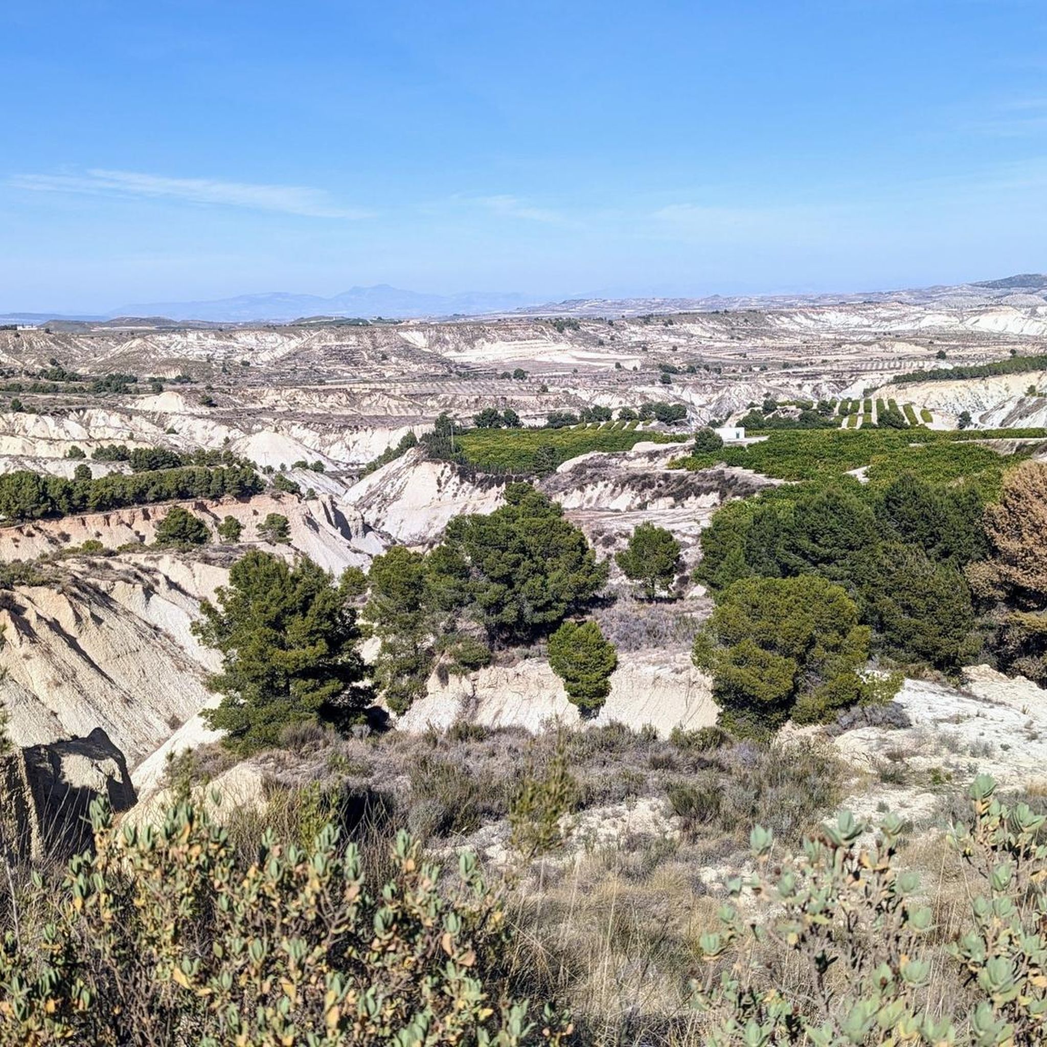
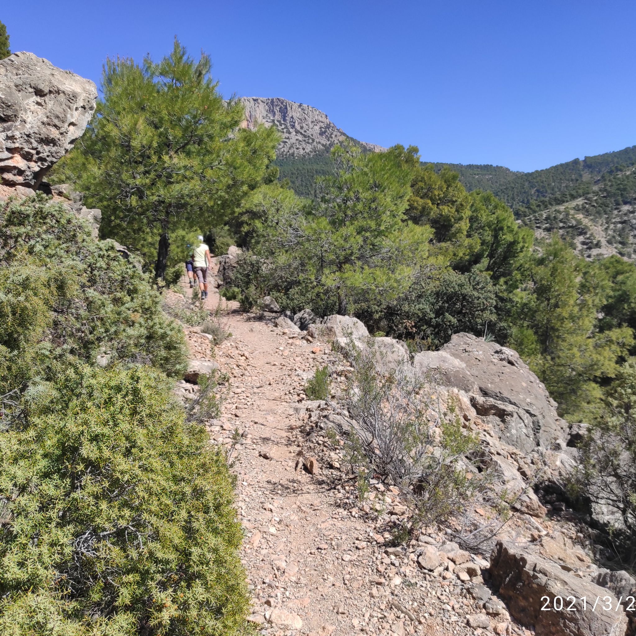
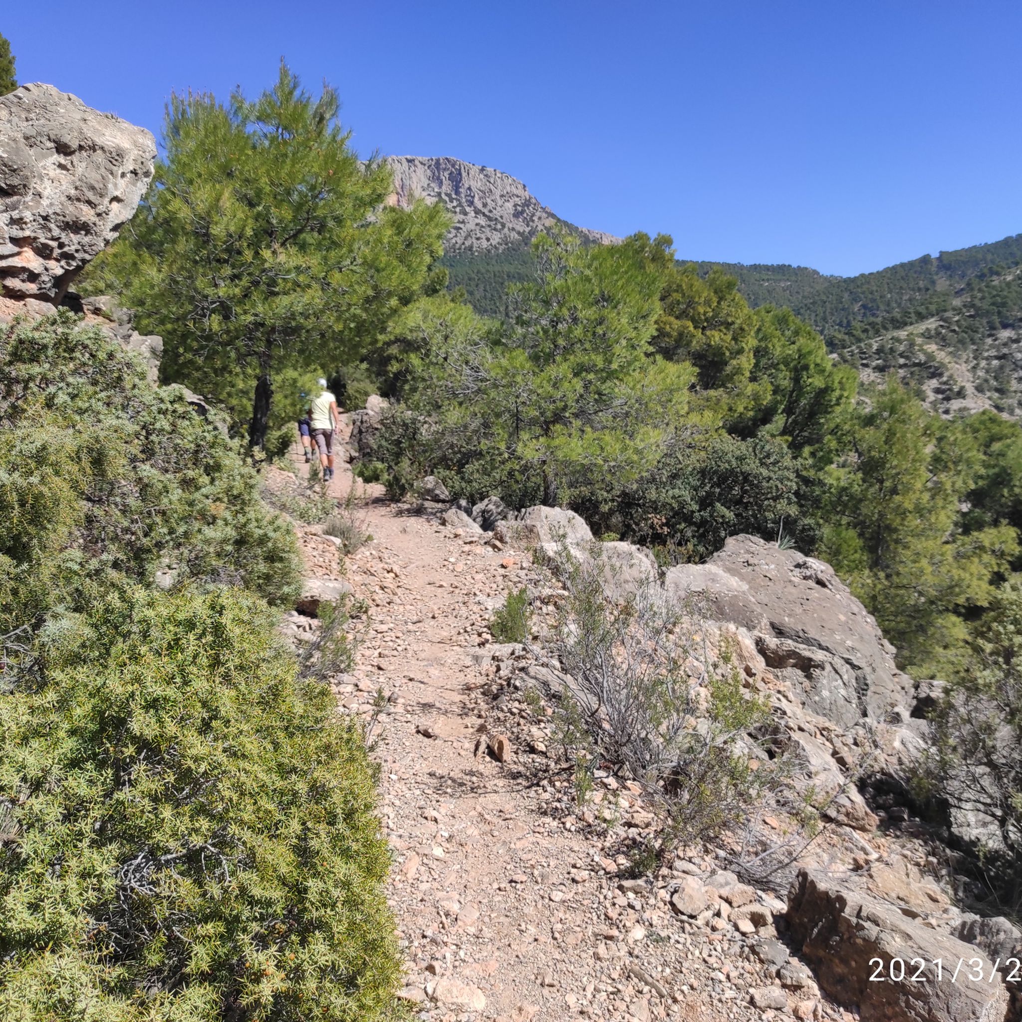
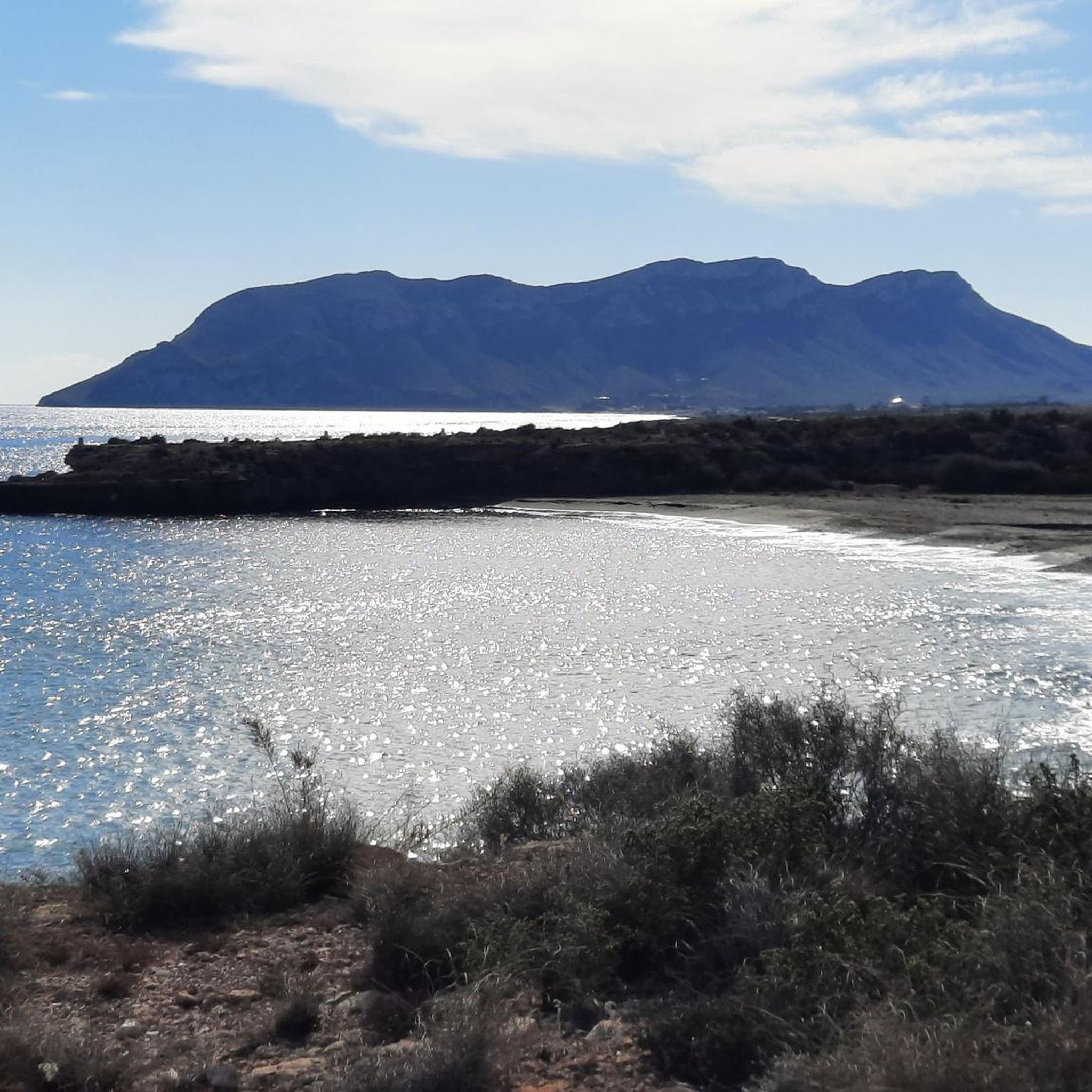
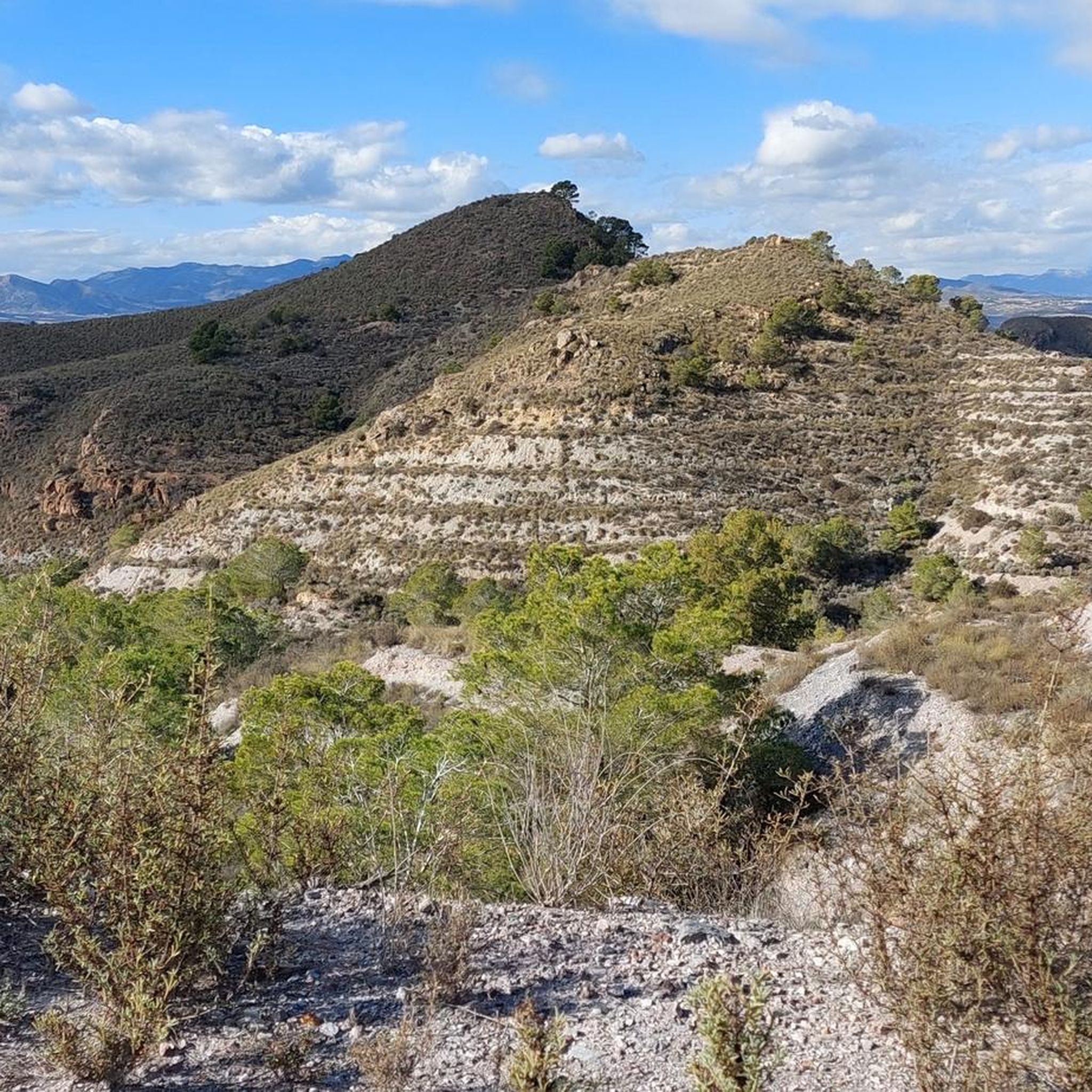
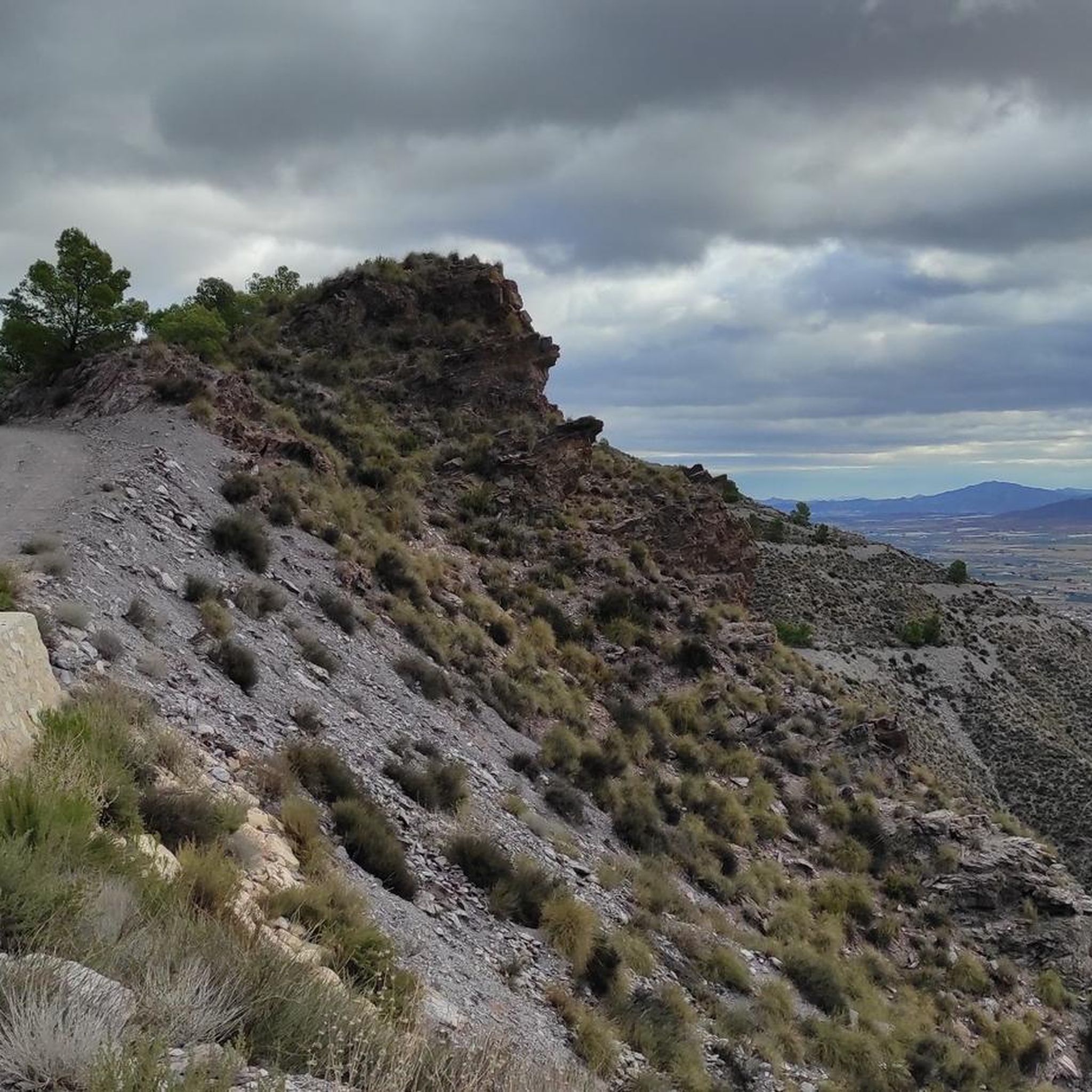
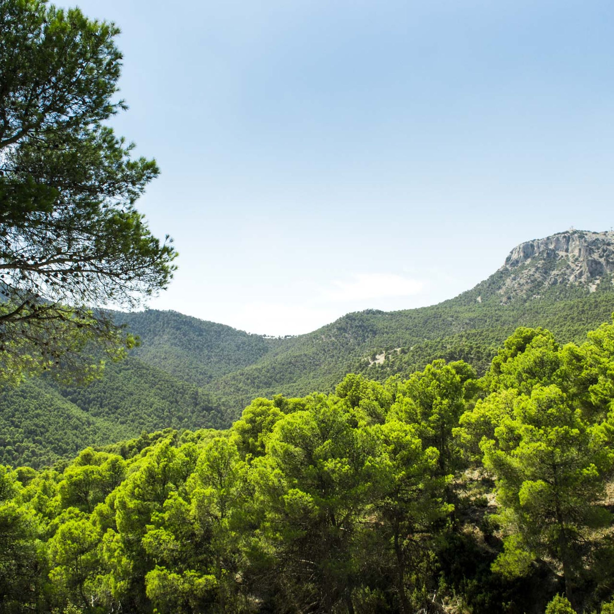
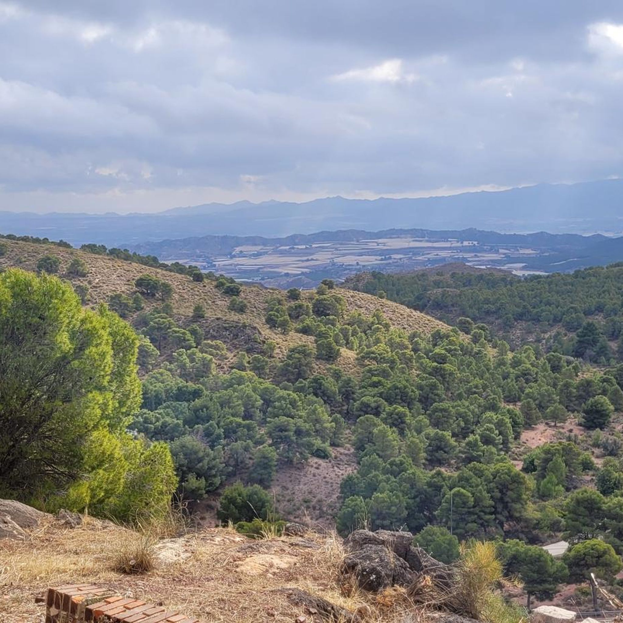
Hiking around Alto Guadalentín offers diverse landscapes, from coastal areas to mountainous terrain and semi-arid plains. The region is characterized by unique geological formations, including gullies, badlands, and alluvial fans, shaped by the Guadalentín hydrographic system. Hikers can explore varied environments, from the distinctive Bolnuevo Sandstone Formations along the coast to picturesque reservoirs like the Embalse de la Rambla de Algeciras. The trails traverse Mediterranean-type scrubland and offer views of both arid hills and fertile riverbeds.
Best hiking trails around…
Last updated: October 7, 2026
4.8
(41)
117
hikers
12.6km
03:31
250m
240m
Moderate hike. Good fitness required. Easily-accessible paths. Suitable for all skill levels.
4.7
(24)
66
hikers
6.86km
01:47
40m
40m
Easy hike. Great for any fitness level. Easily-accessible paths. Suitable for all skill levels.

4.6
(31)
85
hikers
11.2km
03:13
280m
280m
The Sierra Espuña Regional Park — From Aledo to the Santuario de Santa Eulalia de Mérida (PR-MU 64) immerses you in a diverse Mediterranean landscape, starting at the historic Santuario…
3.7
(6)
19
hikers
7.56km
02:26
300m
300m
Hike the moderate 4.7-mile PR-MU 104 trail in Cabo Cope y Puntas de Calnegre, gaining 1000 feet for panoramic views from Cocón de Cope.
5.0
(14)
48
hikers
6.55km
01:39
10m
10m
Easy hike. Great for any fitness level. Easily-accessible paths. Suitable for all skill levels.
3.8
(9)
50
hikers
13.1km
05:02
730m
730m
Hard hike. Very good fitness required. Sure-footedness, sturdy shoes and alpine experience required.
4.2
(5)
27
hikers
14.8km
04:23
430m
430m
Moderate hike. Good fitness required. Easily-accessible paths. Suitable for all skill levels.
5.0
(2)
22
hikers
13.9km
04:47
550m
550m
Hike the moderate 8.6-mile Parque Regional de la Sierra Espuña loop, offering panoramic views and diverse Mediterranean landscapes.
3.7
(9)
22
hikers
9.06km
03:00
430m
430m
Hike the moderate 5.6-mile Morro Blanco Trail in Sierra de las Moreras for panoramic coastal views and unique geological formations.
4.0
(4)
26
hikers
Moderate hike. Good fitness required. Easily-accessible paths. Suitable for all skill levels.
Get access to more routes and recommendations from other explorers.
Already have an account?
Our route recommendations are based on thousands of hikes, rides, and runs completed by other people on komoot.
Start today with a free account
Your next adventure awaits.
Popular around Alto Guadalentín
Other adventures around Alto Guadalentín


Tips from the Community

Stop in Aledo to explore its narrow streets and get closer to the Torre del Homenaje, the main vestige of its old fortress. From the upper part of the town, wide views open up towards Sierra Espuña and the fields of the Guadalentín valley.
1
0

Top beach, running, swimming, climbing, everything is possible
1
0

Impressive!
1
1

So beautiful: The Rambla de Algeciras reservoir is a crucial water reservoir in the Region of Murcia, Spain. It was built for flood control (of the Segura River), water storage, and irrigation regulation. The area offers many hiking and cycling opportunities and offers views of the nearby Barrancos de Gebas.
5
1
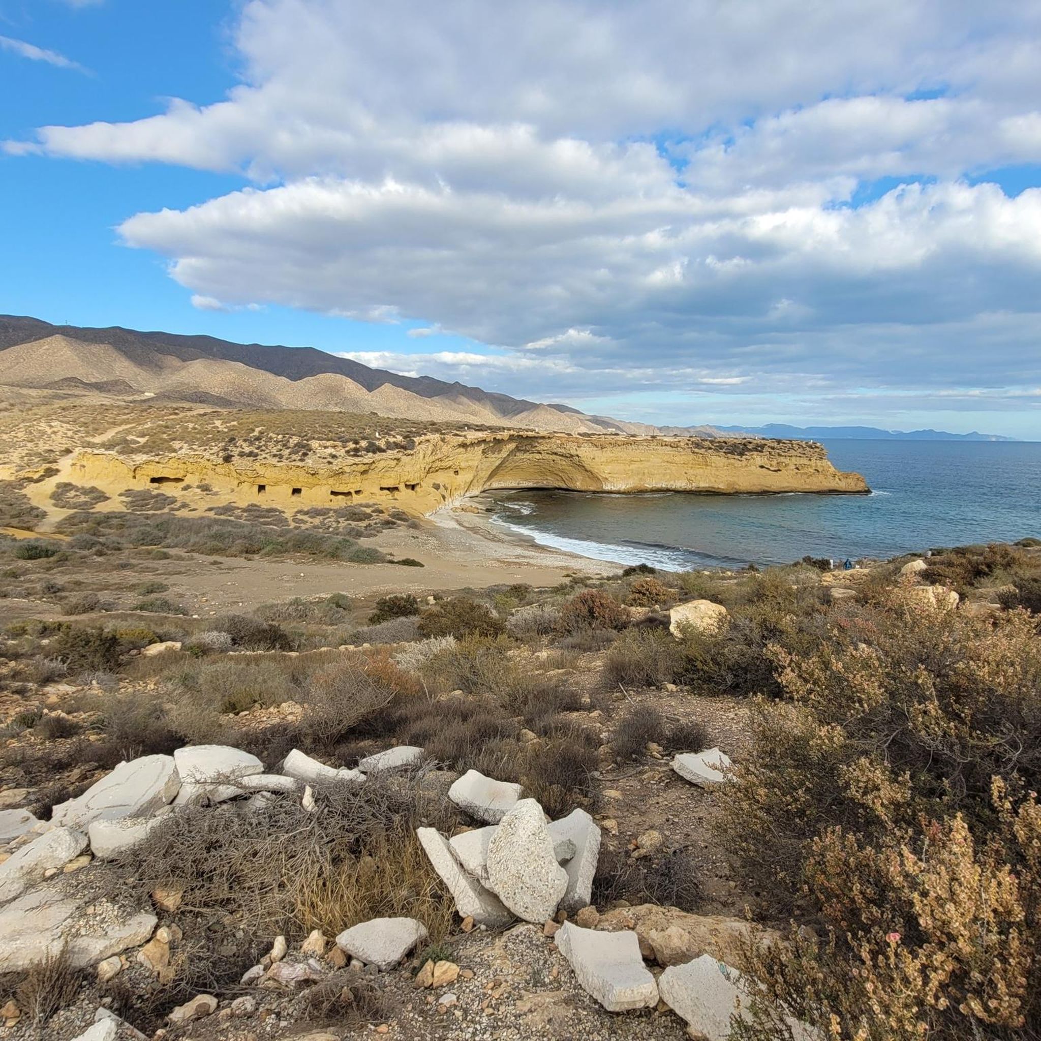
A natural monument, the enchanting town of Bolnuevo is one of the most beautiful places in the region, so much so that the rock formations, known as "mushrooms," have been declared a natural monument.
14
1

Beautiful views of the Pedro López peak
0
0

Very beautiful loop starting from La Perdrix which leads to Morrón de Alhama via the Portillo pass, the Blanco pass and the descent via Carascoy.
1
1

along the canal, paved path. Several hikes are possible around the area.
1
1
Frequently Asked Questions
How many hiking trails are available in Alto Guadalentín?
Alto Guadalentín offers a wide variety of hiking opportunities, with over 530 trails available. These routes cater to different preferences, ranging from easy coastal strolls to more challenging mountain ascents.
What kind of landscapes can I expect to see while hiking in Alto Guadalentín?
The region boasts a diverse landscape, from coastal areas with unique geological formations like the Bolnuevo Sandstone Formations to arid inland hills and fertile riverbeds. You'll encounter Mediterranean scrubland, badlands, and picturesque reservoirs such as the Embalse de la Rambla de Algeciras, offering a rich tapestry of natural features.
What do other hikers say about the trails in Alto Guadalentín?
The trails in Alto Guadalentín are highly regarded by the komoot community, holding an average rating of 4.5 stars from over 2,200 reviews. Hikers often praise the varied terrain, from stunning coastal paths to unique geological formations and scenic reservoir views.
Are there hiking trails suitable for beginners or those looking for an easy walk?
Yes, Alto Guadalentín has numerous easy trails. For instance, the Tour of Calarreona beaches is an easy 6.9 km path offering pleasant coastal scenery. Another accessible option is the route From Puerto de Mazarrón to the Gredas de Bolnuevo, which is 6.5 km and also considered easy.
Are there any challenging hikes for experienced trekkers?
Absolutely. For those seeking a more demanding experience, the Regional Park of Serra Espuña — Circular via the Leiva Ravine (PR-MU 57) is a difficult 13.1 km trail with significant elevation gain, leading through mountainous terrain.
What natural landmarks or points of interest can I see along the hiking trails?
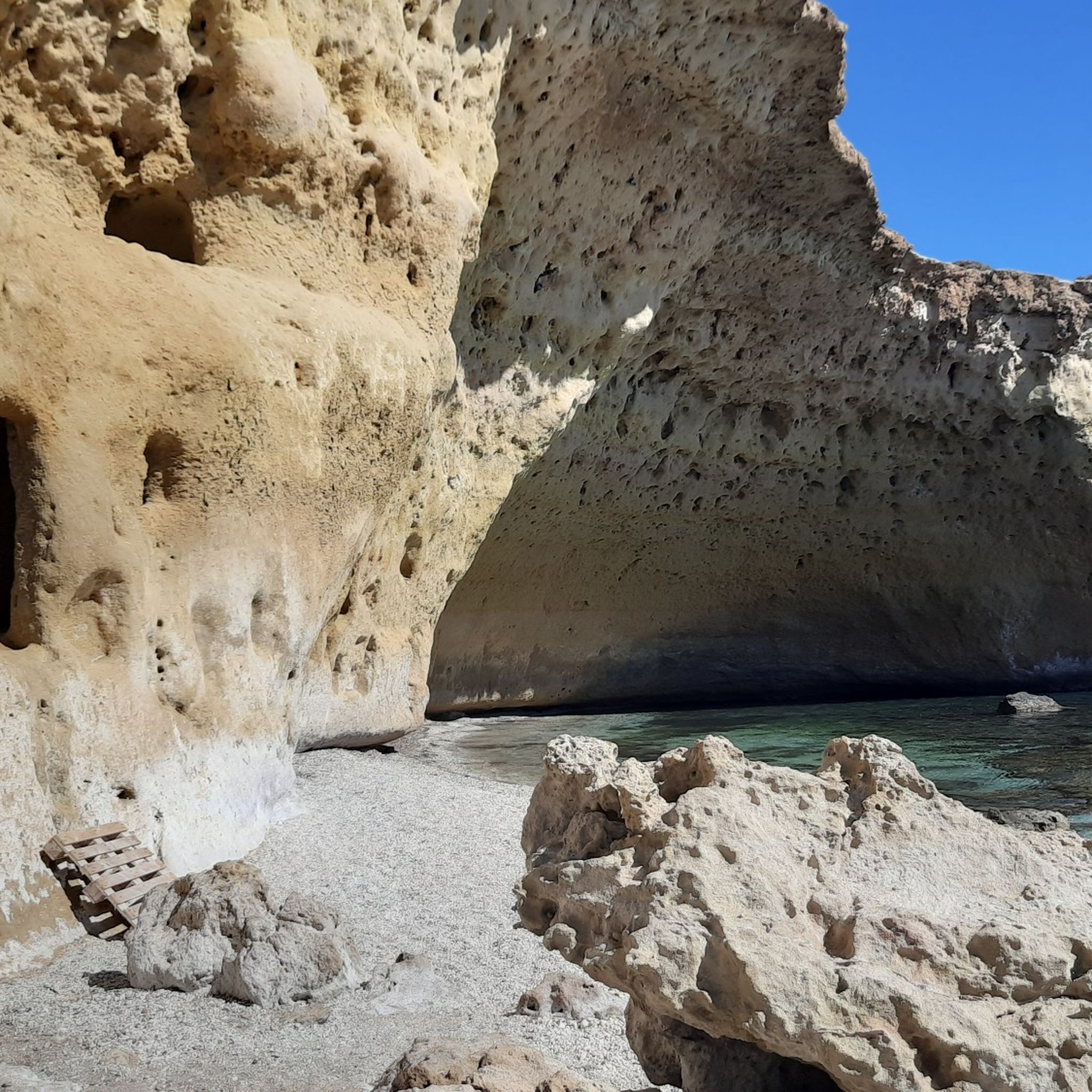
Hikers can discover several notable natural landmarks. The Bolnuevo Sandstone Formations, with their unique 'mushroom' shapes, are a must-see coastal feature. Inland, the Rambla de Algeciras Reservoir offers striking turquoise waters and panoramic views. You can also visit Los Cocedores Beach, known for its calm waters and sea-eroded caves.
Are there any circular hiking routes in Alto Guadalentín?
Yes, there are several circular routes. A great example is The viewpoint of the Algeciras Reservoir — Circular from Alhama de Murcia, a moderate 14.8 km trail that offers stunning vistas of the reservoir and surrounding geological formations.
What is the best time of year to go hiking in Alto Guadalentín?
Due to its semi-arid climate, the spring and autumn months are generally ideal for hiking in Alto Guadalentín. Temperatures are milder, making for more comfortable conditions to explore both coastal and inland trails. Summers can be very hot, and while winter hiking is possible, some higher elevation trails might be cooler.
Are there any family-friendly hiking options in the region?
Many of the easier coastal paths and shorter inland trails are suitable for families. Routes like the Tour of Calarreona beaches provide gentle terrain and engaging scenery for all ages.
Can I bring my dog on the hiking trails in Alto Guadalentín?
Many trails in Alto Guadalentín are dog-friendly, allowing you to enjoy the natural beauty with your canine companion. However, it's always recommended to keep your dog on a leash, especially in protected areas or near wildlife, and to check specific trail regulations beforehand.
Are there any trails that feature unique geological formations?
Yes, the region is known for its distinctive geology. The Barrancos de Gebas — Tour along the Azagadores Trail (PR-MU 92) is a prime example, leading through the striking badlands of Barrancos de Gebas, characterized by gullies and arid formations.
Where can I find parking for hiking trails in Alto Guadalentín?
Parking availability varies by trail. For popular routes and natural attractions, designated parking areas are often provided. For example, trails leading to the Bolnuevo Sandstone Formations or near the Embalse de la Rambla de Algeciras typically have accessible parking. It's advisable to check specific route details on komoot for parking information before your hike.
Are there any trails in the Sierra Espuña Regional Park within Alto Guadalentín?
Yes, parts of the Sierra Espuña Regional Park extend into the Alto Guadalentín area, offering mountainous terrain. A notable route is the Parque Regional de la Sierra Espuña — From Aledo to the Santuario de Santa Eulalia de Mérida (PR-MU 64), a moderate 11.2 km trail.
Most popular routes around Alto Guadalentín
Most popular attractions around Alto Guadalentín

Get inspired with the komoot mobile app


Didn’t find what you were looking for?
Check out more Hikes throughout Alto Guadalentín below and find the perfect route in your destination.
Explore more
Browse the best Hikes in other regions.
