The best road cycling routes in Distretto di Vallemaggia
4.5
(280)
8,273
riders
79
rides
Road cycling in Distretto di Vallemaggia offers routes through the diverse landscapes of the Maggia Valley, defined by the Maggia River and its rock formations. The region features alpine scenery, dense woodlands, and impressive mountain peaks, with many routes utilizing mostly paved surfaces. The terrain varies from leisurely rides alongside the river to challenging ascents into higher elevations.
Best road cycling routes in Distretto di Vallemaggia
- The most popular road cycling route is Maggia Valley Trail, a 25.4 miles (40.8 km) trail that takes 1 hour 53 minutes to complete. This moderate route follows the Maggia River through traditional villages.
- Another top favourite among local road cyclists is Val di Muggio – loop tour in the Mendrisio district, a difficult 22.3 miles (36.0 km) path. This route features significant elevation gain, climbing over 3,379 feet (1030 meters).
- Local road cyclists also love the North-South Route, a 19.0 miles (30.5 km) trail leading through varied terrain, often completed in about 1 hour 24 minutes.
- Road cycling in Distretto di Vallemaggia is defined by the crystal-clear Maggia River, dense woodlands, and high alpine terrain. The network offers options for different ability levels, from easy valley rides to challenging mountain climbs.
- The routes in Distretto di Vallemaggia are highly rated by the komoot community with an average score of 4.6 stars from over 210 reviews. More than 8,500 road cyclists have used komoot to explore Distretto di Vallemaggia's varied terrain.
Last updated: October 10, 2026
4.4
(7)
352
riders
40.8km
01:53
400m
400m
Moderate road ride. Good fitness required. Mostly well-paved surfaces and easy to ride.
4.7
(14)
302
riders
36.0km
02:15
1,030m
1,030m
Hard road ride. Very good fitness required. Mostly well-paved surfaces and easy to ride.

3.7
(3)
203
riders
30.5km
01:24
360m
360m
Moderate road ride. Good fitness required. Mostly well-paved surfaces and easy to ride.
4.6
(5)
125
riders
25.2km
01:47
880m
880m
Moderate road ride. Good fitness required. Mostly well-paved surfaces and easy to ride.
5.0
(8)
77
riders
64.2km
04:14
2,030m
2,030m
Hard road ride. Very good fitness required. Mostly well-paved surfaces and easy to ride.
5.0
(4)
89
riders
21.9km
01:24
640m
640m
Moderate road ride. Good fitness required. Mostly well-paved surfaces and easy to ride.
5.0
(1)
65
riders
47.3km
02:50
1,200m
1,200m
Hard road ride. Very good fitness required. Mostly well-paved surfaces and easy to ride.
50
riders
107km
06:42
2,750m
2,750m
Hard road ride. Very good fitness required. Mostly well-paved surfaces and easy to ride.
5.0
(1)
51
riders
25.2km
01:08
280m
280m
Easy road ride. Great for any fitness level. Mostly well-paved surfaces and easy to ride.
3.0
(1)
49
riders
31.9km
01:44
530m
530m
Moderate road ride. Good fitness required. Mostly well-paved surfaces and easy to ride.
Get access to more routes and recommendations from other explorers.
Already have an account?
Our route recommendations are based on thousands of hikes, rides, and runs completed by other people on komoot.
Start today with a free account
Your next adventure awaits.
Popular around Distretto di Vallemaggia
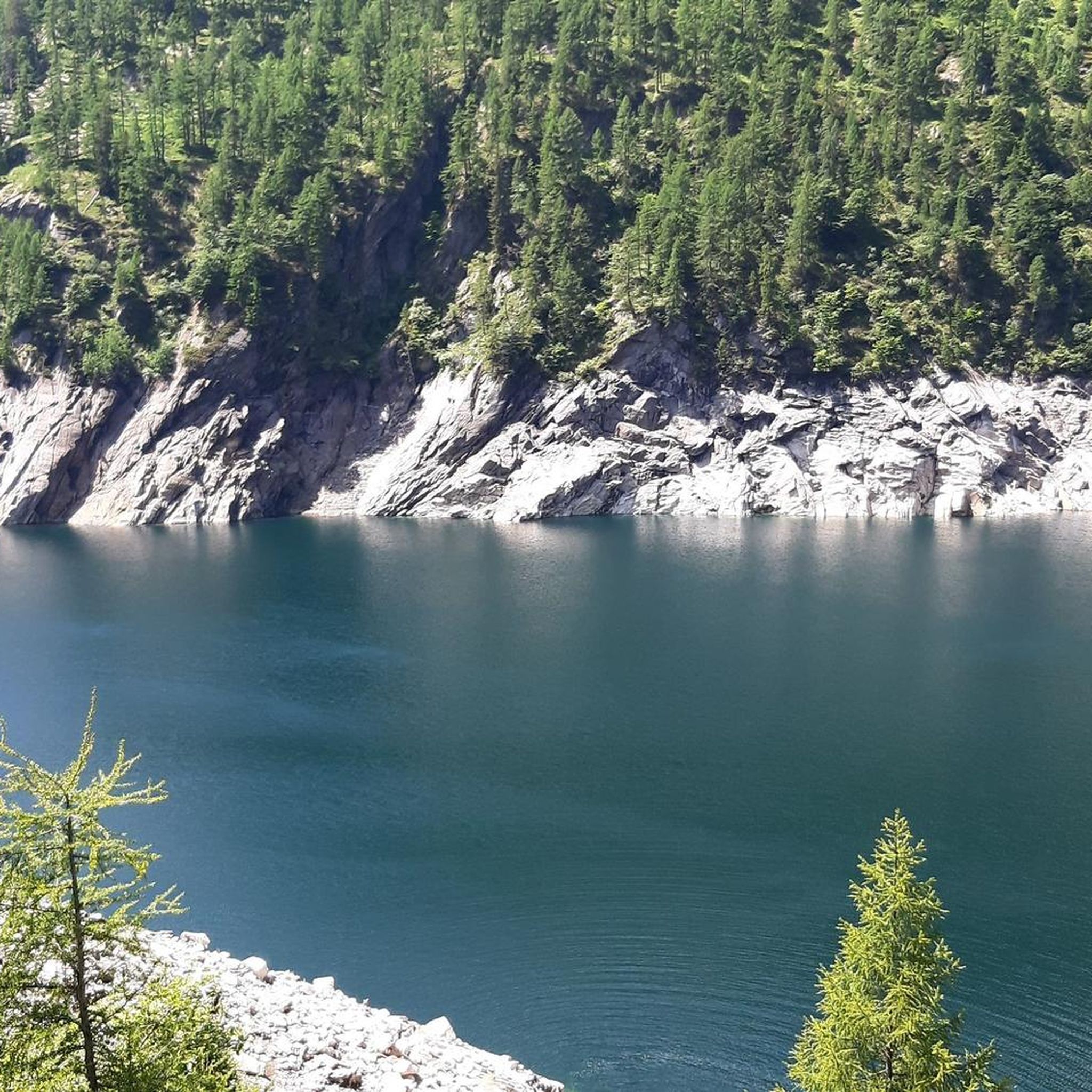
Road Cycling Routes around Lake del Sambuco
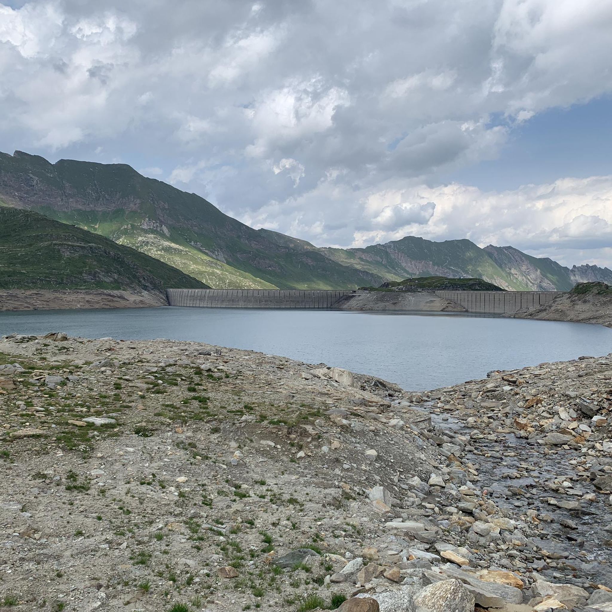
Road Cycling Routes around Lake del Narèt
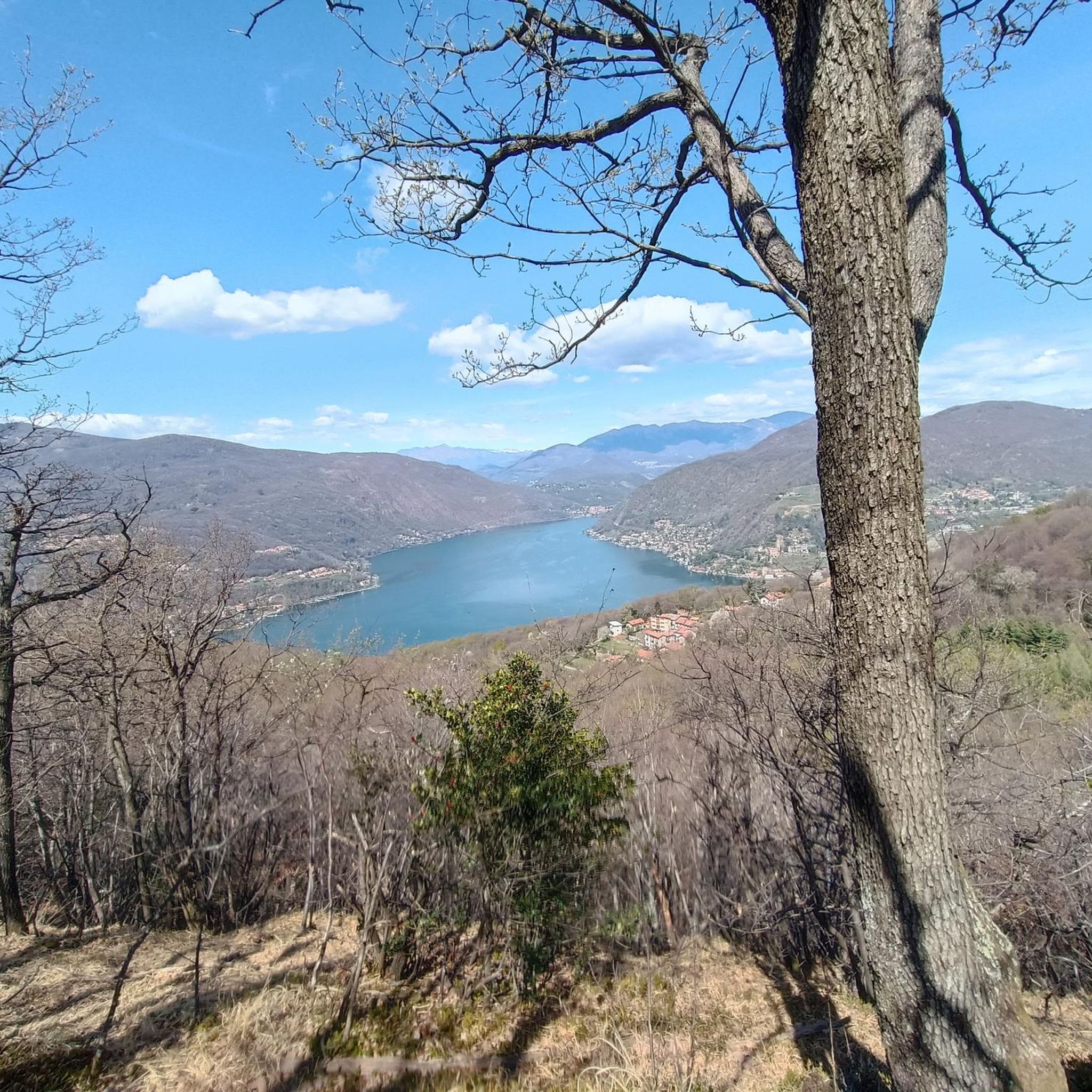
Road Cycling Routes in Monte San Giorgio
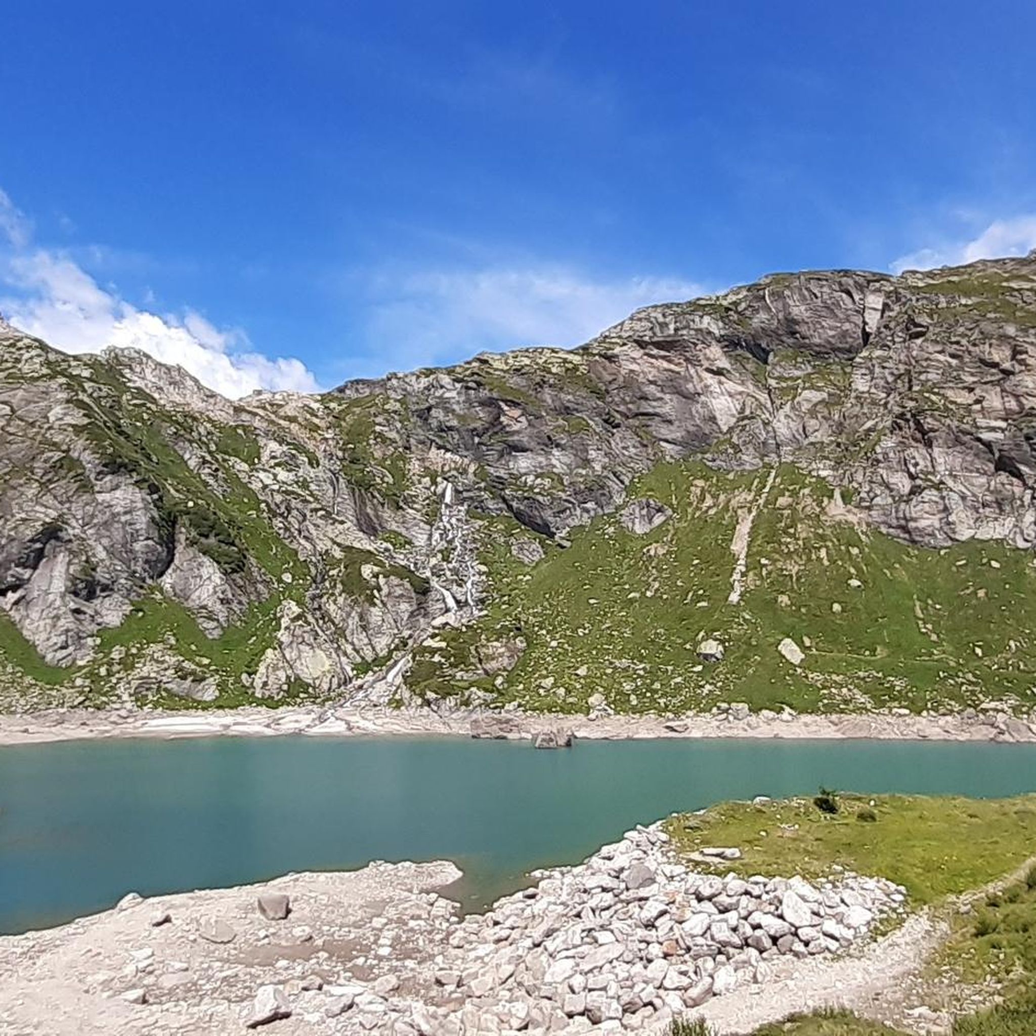
Road Cycling Routes around Lake del Zött

Road Cycling Routes around Lake Sfundau

Road Cycling Routes around Lake Robiei
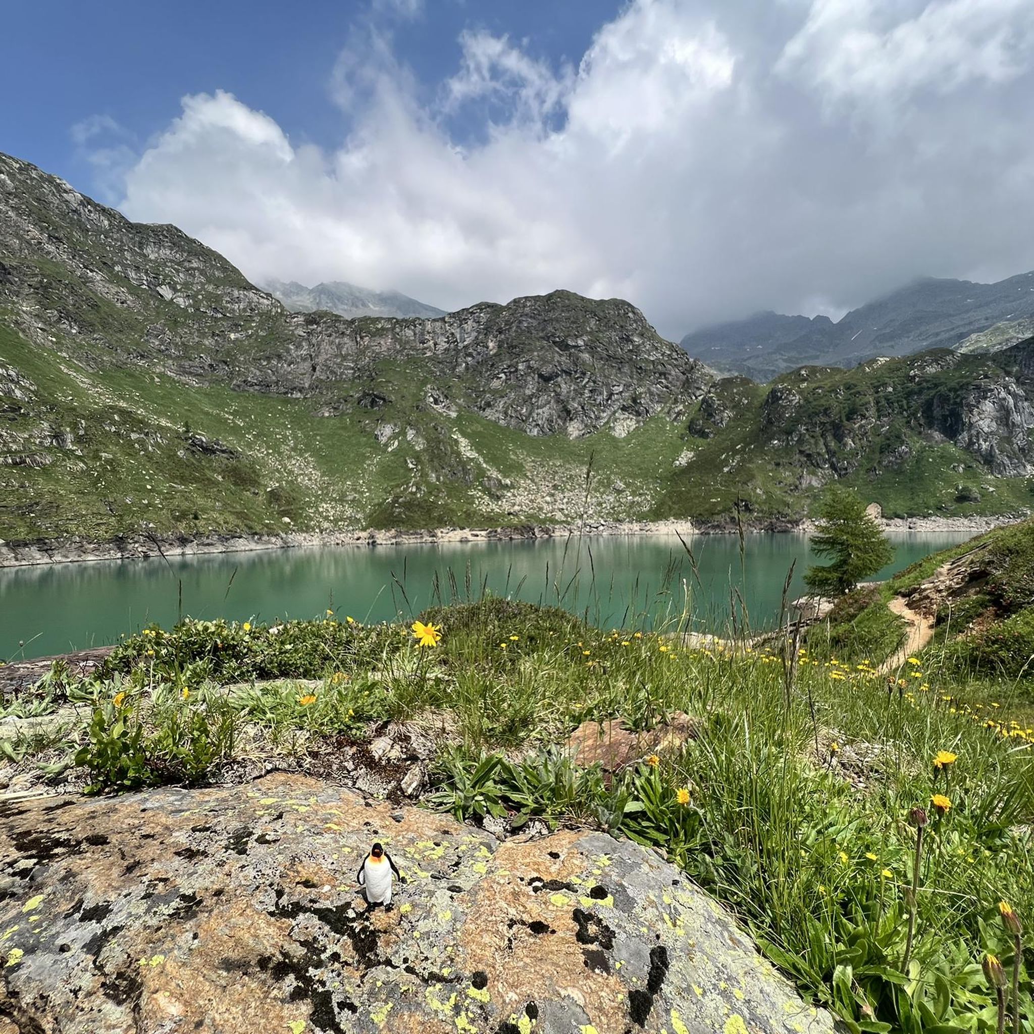
Road Cycling Routes around Lake dei Cavagnöö
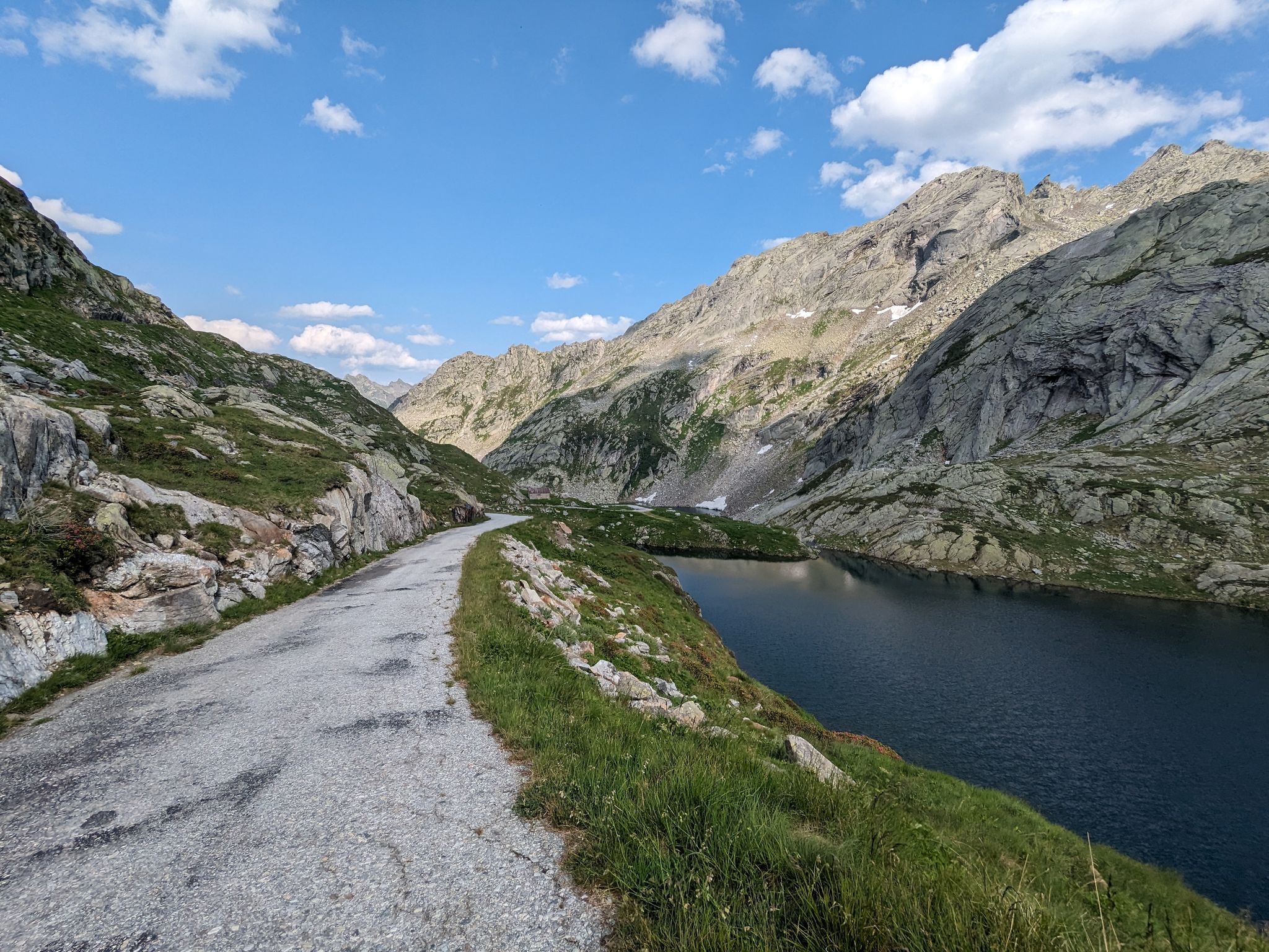
Great passes and green valleys – Ticino climbs

GTA North Piedmont – Among ancient Walser settlements
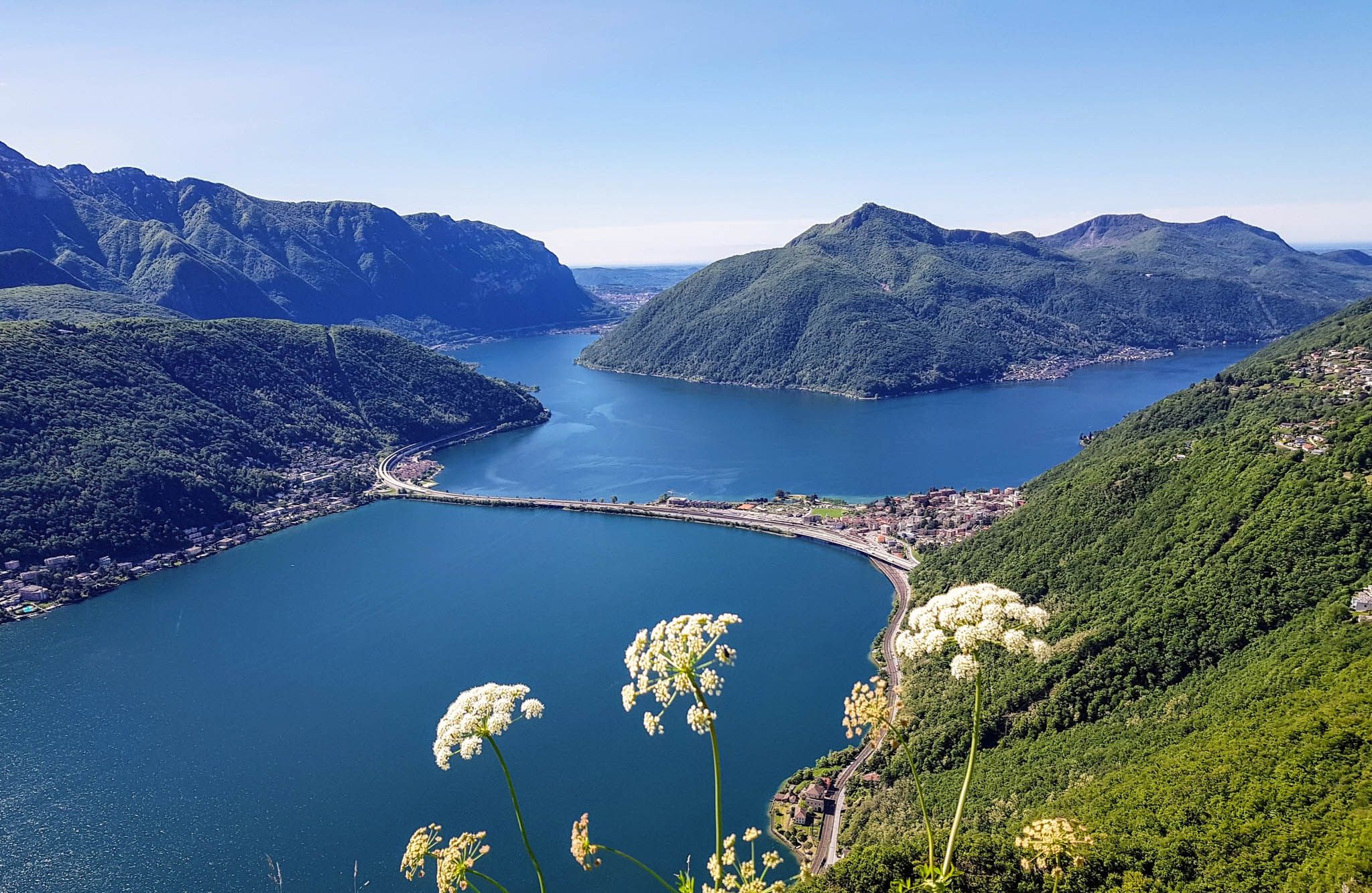
Sentiero Lago di Lugano – Between summits and lakes
Other adventures in Distretto di Vallemaggia


Tips from the Community

Best Gelati at Pasticceria San Giorgio and delicious Spaghetti Vongole at Trattoria al Lago
1
0

Church of San Zeno, a baroque building in the hamlet of Salorino (Mendrisio, Switzerland), documented since 1330, with a current structure dating back to the 18th century, enriched by a portico, stuccoes and frescoes, located along the ancient road that connects Mendrisio to Somazzo
0
0


Beautiful route from the Pizzamiglio customs house and wonderful, lesser-known places on Lake Lugano.
0
0

As others have already said: It's tough, steep, and beautiful here! It's best to split the climb into shorter stages, so the 2,000 meters of elevation gain over 30 kilometers from Bignasco aren't quite as terrifyingly daunting. From Bignasco to Prato Sornico, it's rarely very steep. There are a few flat sections where you can pick up a decent pace. After Mogno (visit the church in Botta) and up to Fusio, things really get going for the first time. Many hairpin bends soften the incredibly nasty ramps, but your legs will still be tested here! Up to the Sambucco reservoir, it becomes truly idyllic, green, and quiet. There are a few tough climbs, but even here, the difficulty is still manageable. There's a fountain at the summer restaurant: fill up your bidons again, because there are only streams and gullies here. After the relaxing flat section by the lake, the final and most strenuous part of the climb follows. The scenery is stunning, but it's steep all the way to the top! Wow!
1
0

Giornico's geographical position, at the foot of the Biaschina gorge and at the beginning of the Ticino valley's alluvial plain, has made this location a fundamental place for centuries for activities related to transit along the Saint Gotthard route. In front of you, below, are the two arched or donkey-back bridges that give access to the island on the Ticino river. On the right side of the Valley stand out: the Parish Church of San Michele, the Church of San Nicola (or San Nicolao) and, on the hill, the Church of Santa Maria del Castello.
0
0

The tour takes you to Lugano, Melide by train, and Porto Ceresio by boat. Then, a short stroll through Porto Ceresio with a coffee for €1.50. Continue by bus and boat to Campione. Both towns have beautiful lakeside promenades to linger on. More of a stroll than a hike :-) The lido in Campione is very nice; admission is €7, and meals and drinks are available. Be prepared to pay 0.50 for a hot shower. From Campione, return via Melide and Lugano.
0
0

Shopping opportunities
0
0
Frequently Asked Questions
How many road cycling routes are available in Distretto di Vallemaggia?
Distretto di Vallemaggia offers a wide selection of road cycling routes, with over 80 different tours to explore. These routes cater to various skill levels, from leisurely rides to challenging ascents.
What kind of terrain can I expect on road cycling routes in Distretto di Vallemaggia?
The terrain in Distretto di Vallemaggia is diverse, ranging from mostly paved, flat routes alongside the crystal-clear Maggia River to challenging climbs into the high alpine regions. You'll encounter dense woodlands, lush meadows, and impressive mountain peaks, with many routes utilizing paved surfaces suitable for road bikes.
Are there road cycling routes suitable for beginners or families in Distretto di Vallemaggia?
Yes, Distretto di Vallemaggia has routes suitable for all abilities. There are 14 easy routes perfect for beginners or families looking for a relaxed ride. The Maggia Valley Trail, for instance, is a moderate route that follows the Maggia River through traditional villages, offering a scenic and less strenuous experience.
What are some scenic natural features or landmarks I can see while road cycling in Distretto di Vallemaggia?
While road cycling in Distretto di Vallemaggia, you can encounter stunning natural features and charming villages. Keep an eye out for the dramatic granite gorge at Ponte Brolla, where the Maggia River carves its path. You might also pass picturesque villages like Foroglio, known for its iconic waterfall. Other highlights include the serene mountain lakes like Lago del Sambuco and Lago del Narèt, which can be reached on more challenging routes.
Are there any challenging road cycling routes for experienced riders in Distretto di Vallemaggia?
Absolutely. For experienced riders seeking a challenge, Distretto di Vallemaggia offers 25 difficult routes with significant elevation gains. Routes like Val di Muggio – loop tour in the Mendrisio district feature climbs of over 1,000 meters. Another demanding option is Discovering Lago di Naret, which involves over 2,000 meters of ascent.
What is the best time of year for road cycling in Distretto di Vallemaggia?
The spring, summer, and autumn months are generally ideal for road cycling in Distretto di Vallemaggia. During these seasons, the weather is pleasant, and the natural landscapes, including waterfalls and flower-filled meadows, are at their most vibrant. The lower regions of the valley also offer refreshing shade from dense forests during warmer months.
Are there circular road cycling routes in Distretto di Vallemaggia?
Yes, many of the road cycling routes in Distretto di Vallemaggia are designed as loops, allowing you to start and end in the same location. For example, the Val di Muggio – loop tour in the Mendrisio district is a popular circular option for those seeking a challenging ride.
Where can I find parking or access routes via public transport in Distretto di Vallemaggia?
Many road cycling routes in Distretto di Vallemaggia are accessible from key towns like Locarno, which can be reached by public transport. The region's villages, such as Cevio, Maggia, and Gordevio, often serve as convenient starting points with available parking, allowing you to easily begin your ride along the Maggia River or venture into the valleys.
What do other cyclists say about road cycling in Distretto di Vallemaggia?
The road cycling routes in Distretto di Vallemaggia are highly rated by the komoot community, with an average score of 4.6 stars from over 210 reviews. More than 8,500 road cyclists have explored the region, often praising the diverse terrain, the beauty of the Maggia River, and the charming traditional villages encountered along the way.
Can I bring my dog on road cycling routes in Distretto di Vallemaggia?
While the region is generally welcoming to outdoor enthusiasts, specific regulations for dogs on road cycling routes can vary. It's always best to keep your dog on a leash, especially in populated areas or near wildlife. For detailed information on dog-friendly policies for specific routes or areas, checking local signage or tourist information is recommended.
Are there places to stop for food or accommodation along the road cycling routes?
Yes, the Distretto di Vallemaggia is dotted with charming villages that offer opportunities for refreshments and accommodation. You'll find traditional grotti, local rural restaurants, where you can experience regional cuisine. Many villages also provide guesthouses or hotels, particularly in areas like Cevio, Maggia, and Bignasco, making it easy to plan multi-day tours or stop for a break.
Are there any routes that offer views of lakes or other bodies of water?
Yes, several routes provide stunning views of the region's crystal-clear waters. The Maggia River itself is a constant companion on many valley rides, and more challenging routes can lead you to beautiful mountain lakes. For instance, the route From Cevio to Lago del Sambuco takes you towards the serene Lago del Sambuco, offering breathtaking alpine lake scenery.
Most popular routes in Distretto di Vallemaggia
Most popular attractions in Distretto di Vallemaggia

Get inspired with the komoot mobile app


Didn’t find what you were looking for?
Check out more Road cycling routes throughout Distretto di Vallemaggia below and find the perfect route in your destination.
Explore more
Browse the best Road cycling routes in other regions.
