The best mountain hikes in Distretto di Vallemaggia
4.8
(34)
342
hikers
21
hikes
Mountaineering routes in Distretto di Vallemaggia traverse a diverse landscape, ranging from pre-Alpine areas near Lake Maggiore to high Alpine regions featuring the Basòdino glacier. The terrain includes lush forests, flower-filled meadows, scree slopes, rocky ridges, and larch woods, carved by the crystal-clear Maggia River. This varied topography offers a range of challenging alpine routes suitable for experienced mountain hikers. The region is characterized by significant elevation changes and natural features such as impressive rock formations and waterfalls.
Best mountaineering…
Last updated: October 8, 2026
4.9
(14)
130
hikers
5.48km
02:35
440m
440m
Hard mountaineering route. Good fitness required. Sure-footedness, sturdy shoes and alpine experience required.
18
hikers
9.80km
04:26
590m
590m
Moderate mountaineering route. Good fitness required. Mostly accessible paths. Sure-footedness required.

5.0
(1)
18
hikers
Hard mountaineering route. Good fitness required. Sure-footedness, sturdy shoes and alpine experience required.
4.0
(2)
11
hikers
11.7km
05:04
750m
750m
Hard mountaineering route. Very good fitness required. Sure-footedness, sturdy shoes and alpine experience required.
5.0
(1)
9
hikers
13.6km
07:07
1,190m
1,190m
Hard mountaineering route. Very good fitness required. Sure-footedness, sturdy shoes and alpine experience required.
6
hikers
15.3km
06:47
800m
810m
Hard mountaineering route. Very good fitness required. Sure-footedness, sturdy shoes and alpine experience required.
5.0
(1)
6
hikers
11.2km
06:36
1,150m
1,150m
Hard mountaineering route. Very good fitness required. Sure-footedness, sturdy shoes and alpine experience required.
5
hikers
8.87km
03:31
570m
570m
Moderate mountaineering route. Good fitness required. Mostly accessible paths. Sure-footedness required.
5
hikers
8.28km
03:29
480m
490m
Hard mountaineering route. Good fitness required. Sure-footedness, sturdy shoes and alpine experience required.
5.0
(1)
5
hikers
12.8km
05:35
820m
810m
Hard mountaineering route. Very good fitness required. Sure-footedness, sturdy shoes and alpine experience required.
Get access to more routes and recommendations from other explorers.
Already have an account?
Our route recommendations are based on thousands of hikes, rides, and runs completed by other people on komoot.
Start today with a free account
Your next adventure awaits.
Popular around Distretto di Vallemaggia

Mountain Hikes in Monte San Giorgio

Mountain Hikes around Lake del Narèt

Mountain Hikes around Lake del Sambuco

GTA North Piedmont – Among ancient Walser settlements
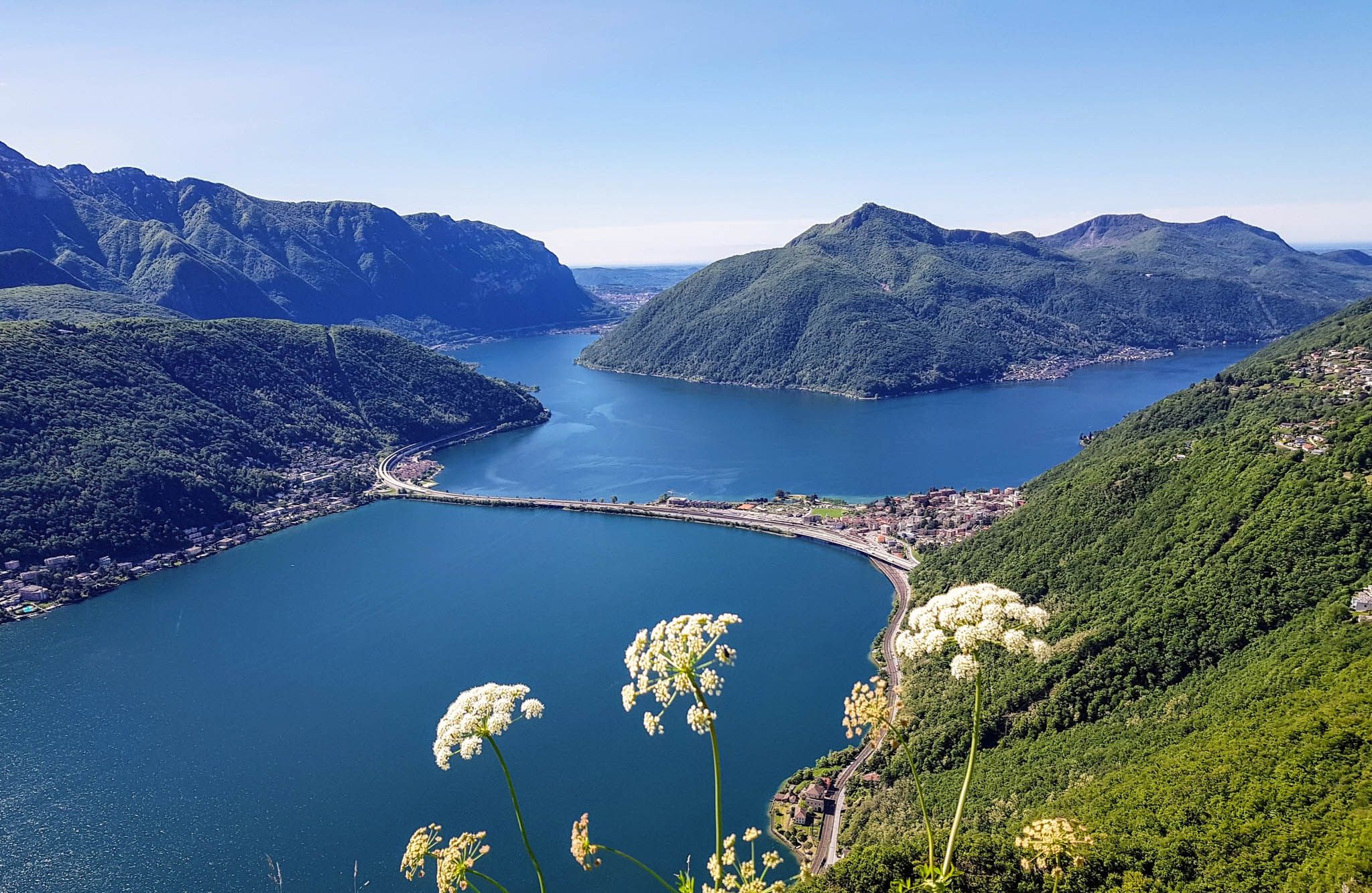
Sentiero Lago di Lugano – Between summits and lakes

Trans Swiss Trail – Hiking across Switzerland

Via Gottardo – Following historic trails
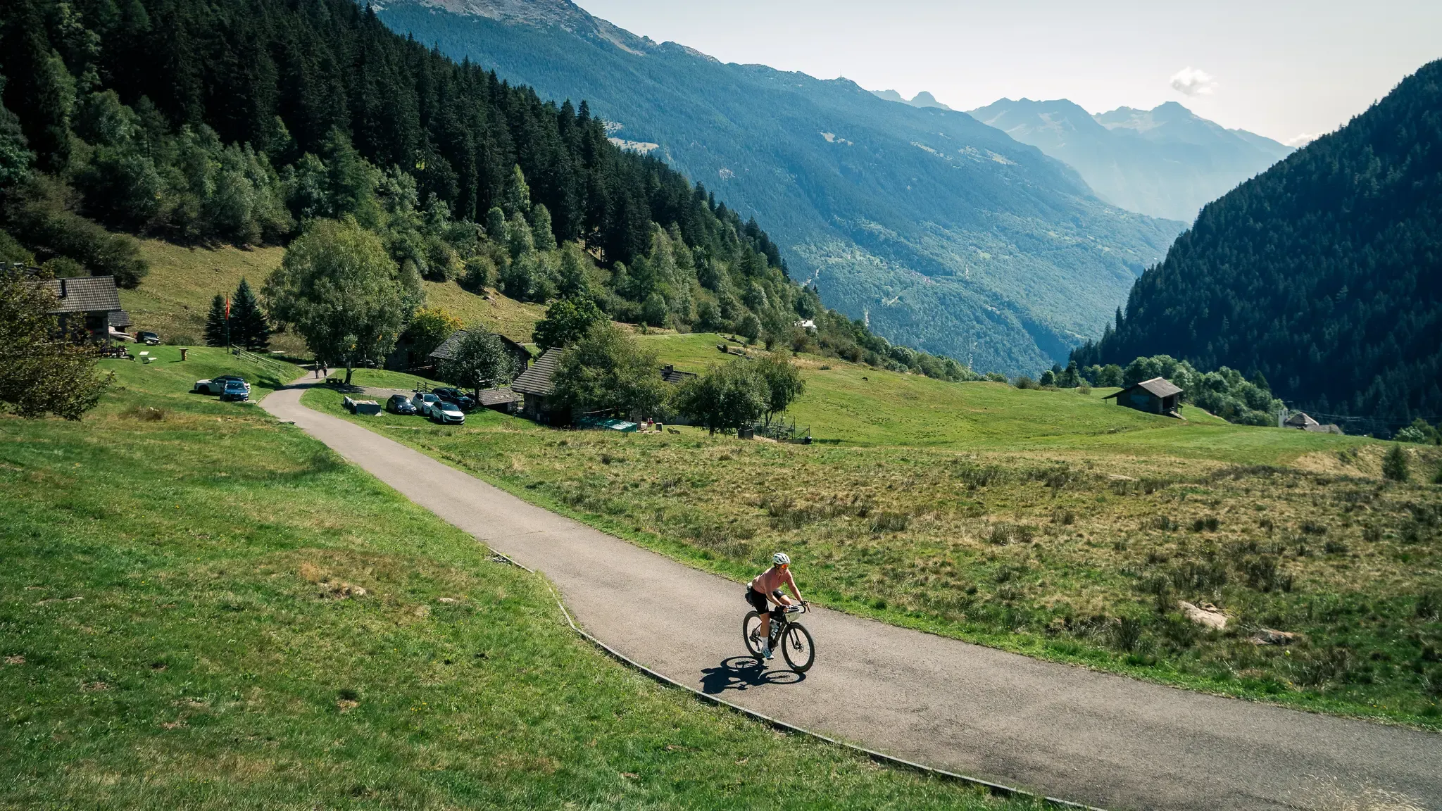
Ticino Traverso: exploring southern Switzerland, one detour at a time
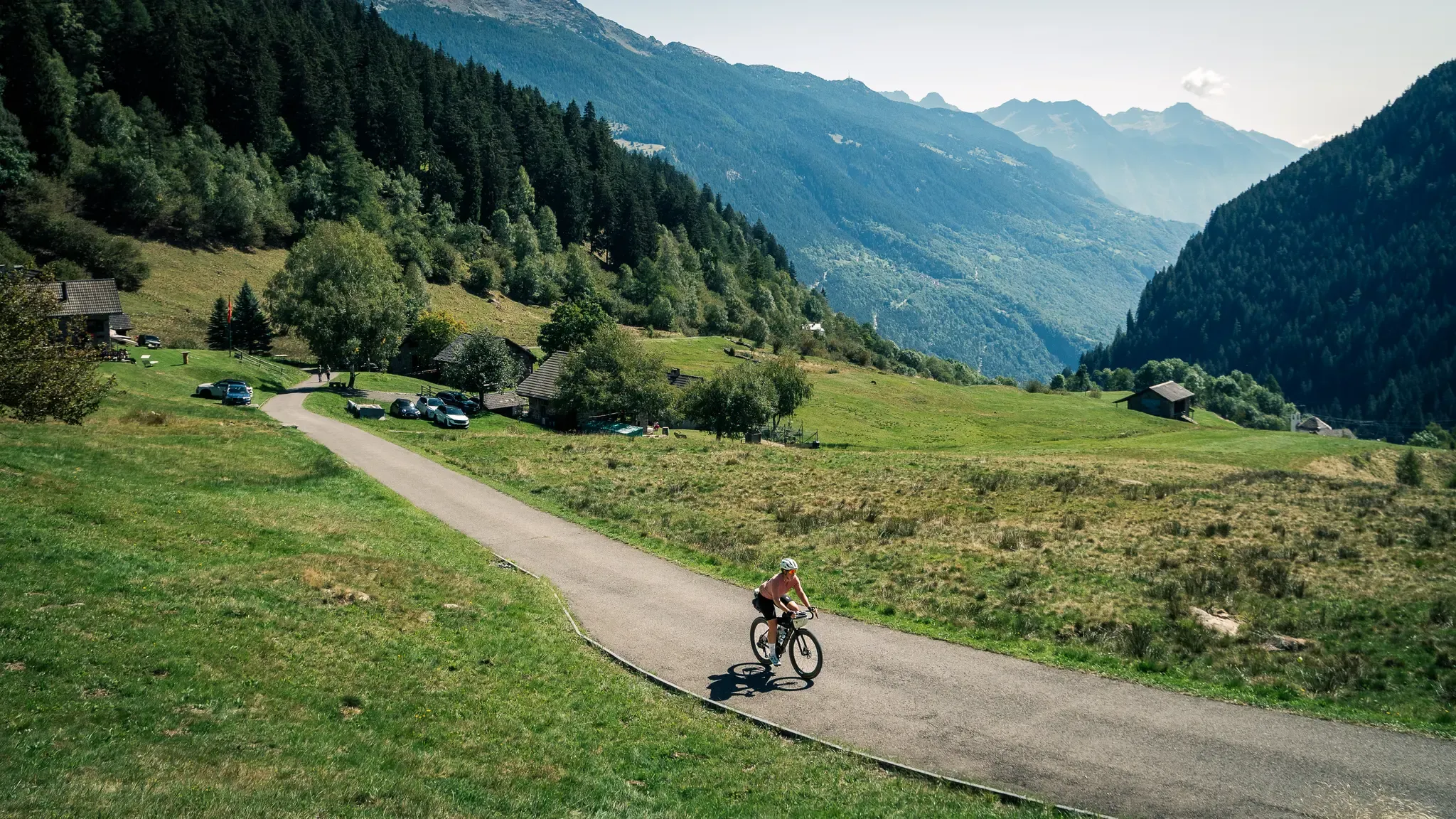
Ticino Traverso: exploring southern Switzerland, one detour at a time
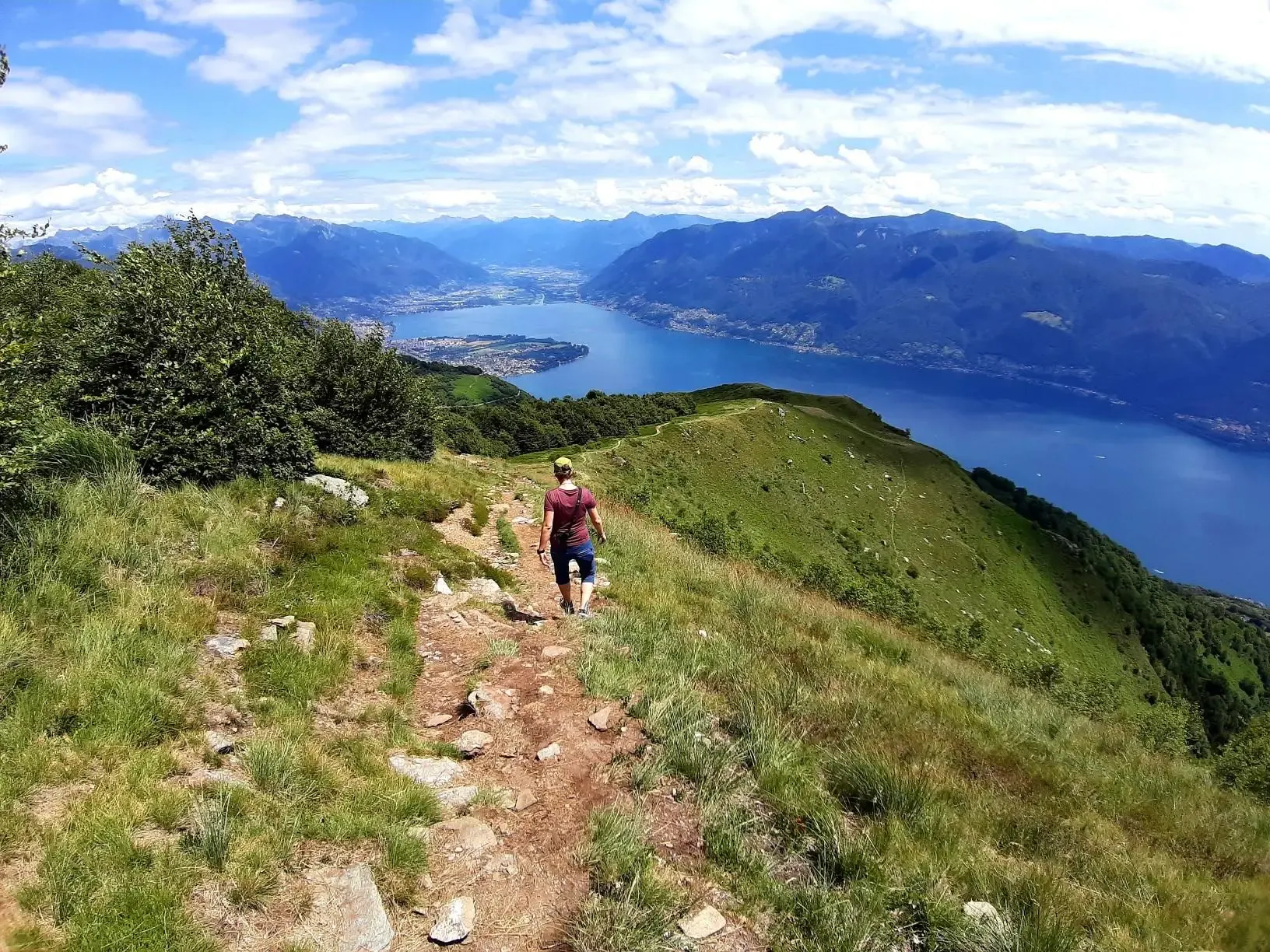
Autumn magic – vibrant, scenic hikes in Ticino
Other adventures in Distretto di Vallemaggia


Tips from the Community

we ate polenta and cheese and pizzoccheri! Everything was delicious
0
0


SAT Mendrisio connects it to a Celtic root, with the meaning of “bushy area” or “fenced area where livestock is kept”. It was precisely there, in the locality of Baraghetto, that Countess Carla Nobili Vitelleschi had the small house known as Cà dala mata or Casa della contessa built.
0
0
pretty here, very pretty
0
0
Frequently Asked Questions
How many mountaineering routes are available in Distretto di Vallemaggia?
Distretto di Vallemaggia offers a comprehensive network of 38 mountaineering routes. These range from moderate to difficult, providing options for various skill levels.
What is the best time of year for mountaineering in Distretto di Vallemaggia?
The ideal time for mountaineering in Distretto di Vallemaggia is typically from late spring to early autumn, specifically May to October. During these months, the weather is generally mild, and trails are accessible. October also offers spectacular fall foliage.
What are the difficulty levels of mountaineering routes in Distretto di Vallemaggia?
The routes in Distretto di Vallemaggia are categorized into moderate and difficult. There are 15 moderate routes, suitable for those with some experience, and 23 difficult routes, which are more challenging and often involve significant elevation changes and rugged terrain.
Are there any notable natural features or landmarks to see along the routes?
Yes, the region is rich in natural beauty. You can expect to see dramatic granite gorges carved by the Maggia River, impressive waterfalls like the Cascate del Pissond, and serene mountain lakes such as Lago dei Cavagnöö and Lago del Zött. The diverse topography also includes lush forests, flower-filled meadows, and high-alpine environments.
Are there mountain huts available for overnight stays?
Yes, Distretto di Vallemaggia has several mountain huts that can serve as excellent bases for multi-day tours or as rest stops. Notable options include the Cristallina Hut and the Brogoldone Hut.
What do other mountaineers say about the routes in Distretto di Vallemaggia?
The mountaineering routes in Distretto di Vallemaggia are highly regarded by the komoot community, with an average rating of 4.8 stars from over 30 reviews. Mountaineers often praise the varied terrain, the stunning high-alpine regions, and the deep valleys carved by the Maggia River.
Are there family-friendly mountaineering routes in the area?
While many mountaineering routes in Distretto di Vallemaggia are moderate to difficult, some sections of the extensive hiking trail network, particularly in the lower valleys, can be suitable for families. For specific family-friendly options, look for routes with shorter distances and less elevation gain, or consider the Mountaineering loop from Melano, which is a moderate option.
Can I bring my dog on the mountaineering trails?
Many trails in Distretto di Vallemaggia are dog-friendly, but it's always advisable to check local regulations and leash requirements for specific routes or protected areas. Ensure your dog is accustomed to mountainous terrain and that you carry enough water for both of you.
Are there circular mountaineering routes in the region?
Yes, Distretto di Vallemaggia offers several circular mountaineering routes. A popular example is the Rustico di Cassinella – Pioda Chapel loop from Maggia, which provides scenic views of the Maggia Valley. Another option is the Mountaineering loop from Tegna, leading through diverse natural surroundings.
How can I access the mountaineering routes using public transport?
Public transport access to Distretto di Vallemaggia is generally good, with bus services connecting many villages within the valley. From these villages, you can often reach trailheads. It's recommended to check local bus schedules in advance, especially for routes leading to higher alpine areas.
Where can I park my car when accessing mountaineering trails?
Designated parking areas are available in many villages and at major trailheads throughout Distretto di Vallemaggia. For example, when starting routes like the Rustico di Cassinella – Pioda Chapel loop, you would typically find parking in or near Maggia. Always look for official parking signs and be mindful of local regulations.
What kind of terrain can I expect on these routes?
Mountaineering routes in Distretto di Vallemaggia traverse a highly diverse landscape. You can expect everything from lush forests and flower-filled meadows in the lower valleys to scree slopes, rocky ridges, and high-alpine environments featuring granite and gneiss rock faces. The terrain often involves significant elevation changes.
Are there any routes that feature lakes for a refreshing stop?
Absolutely. The region is home to numerous crystal-clear mountain lakes. The Lago del Zött – Robiei loop from Lago dei Cavagnöö is an excellent option that takes you past beautiful alpine lakes, offering serene and picturesque settings for a break.
Most popular routes in Distretto di Vallemaggia
Most popular attractions in Distretto di Vallemaggia

Get inspired with the komoot mobile app


Didn’t find what you were looking for?
Check out more Mountain Hikes & Routes throughout Distretto di Vallemaggia below and find the perfect route in your destination.
Explore more
Browse the best Mountain Hikes & Routes in other regions.
