The best gravel rides in Distretto di Vallemaggia
4.4
(274)
1,819
riders
17
rides
Gravel biking in Distretto di Vallemaggia offers diverse terrain, from valley floors to higher elevations, characterized by the Maggia River and its granite gorges. The region features a mix of paved and unpaved "sterrato" sections, providing varied surfaces for gravel cyclists. Routes traverse traditional villages and dense woodlands, including UNESCO beech forests, with some paths offering challenging ascents and others more leisurely rides. The landscape transitions from riverbanks to alpine areas, providing a wide range of scenic backdrops.
Best gravel…
Last updated: October 11, 2026
4.5
(4)
20
riders
85.9km
05:21
660m
660m
Hard gravel ride. Very good fitness required. Mostly paved surfaces. Suitable for all skill levels.
5.0
(1)
10
riders
8.60km
00:36
100m
100m
Easy gravel ride. Great for any fitness level. Mostly paved surfaces. Suitable for all skill levels.

5.0
(2)
7
riders
13.8km
01:04
230m
230m
Moderate gravel ride. Good fitness required. Mostly paved surfaces. Suitable for all skill levels.
5.0
(1)
24
riders
42.8km
03:06
840m
850m
Hard gravel ride. Very good fitness required. You may need to push your bike for some segments of this route.
2.5
(2)
17
riders
27.1km
02:25
950m
960m
Hard gravel ride. Very good fitness required. Mostly paved surfaces. Suitable for all skill levels.
4.0
(2)
25
riders
58.6km
04:34
1,670m
1,670m
Hard gravel ride. Very good fitness required. Mostly paved surfaces. Suitable for all skill levels.
5.0
(1)
12
riders
45.5km
04:12
1,640m
1,640m
Hard gravel ride. Very good fitness required. Mostly paved surfaces. Suitable for all skill levels.
4.3
(3)
20
riders
34.3km
02:14
450m
450m
Moderate gravel ride. Good fitness required. Mostly paved surfaces. Suitable for all skill levels.
5.0
(1)
4
riders
47.0km
03:55
820m
820m
Hard gravel ride. Very good fitness required. Mostly paved surfaces. Suitable for all skill levels.
4.5
(6)
17
riders
18.6km
01:06
170m
170m
Moderate gravel ride. Good fitness required. Mostly paved surfaces. Suitable for all skill levels.
Get access to more routes and recommendations from other explorers.
Already have an account?
Our route recommendations are based on thousands of hikes, rides, and runs completed by other people on komoot.
Start today with a free account
Your next adventure awaits.
Popular around Distretto di Vallemaggia

Gravel biking in Monte San Giorgio
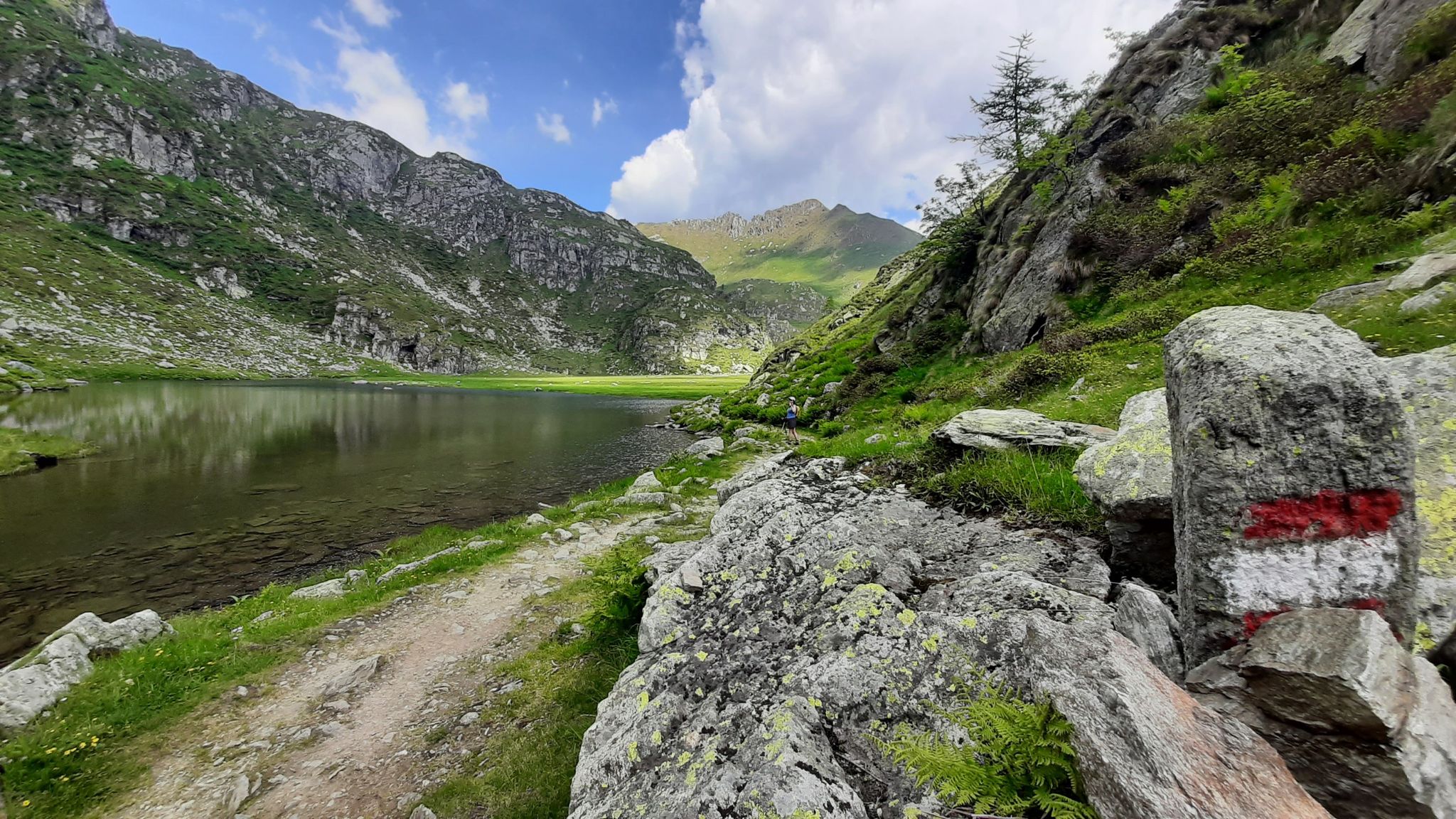
GTA North Piedmont – Among ancient Walser settlements
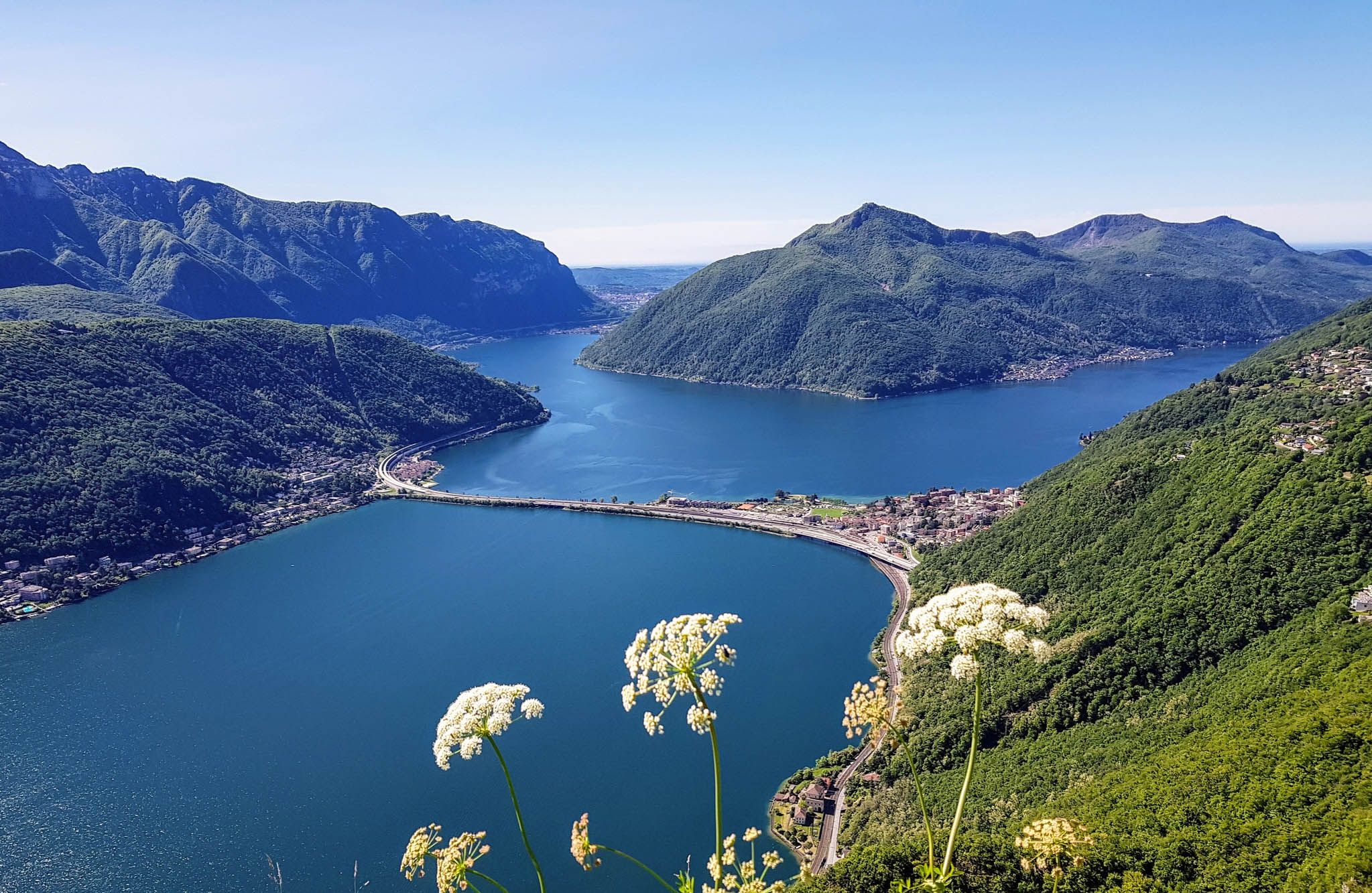
Sentiero Lago di Lugano – Between summits and lakes
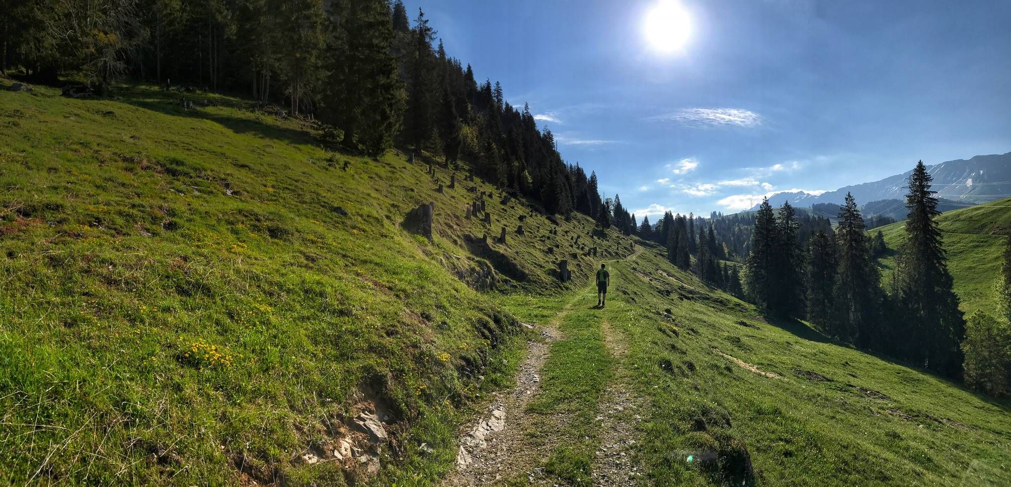
Trans Swiss Trail – Hiking across Switzerland
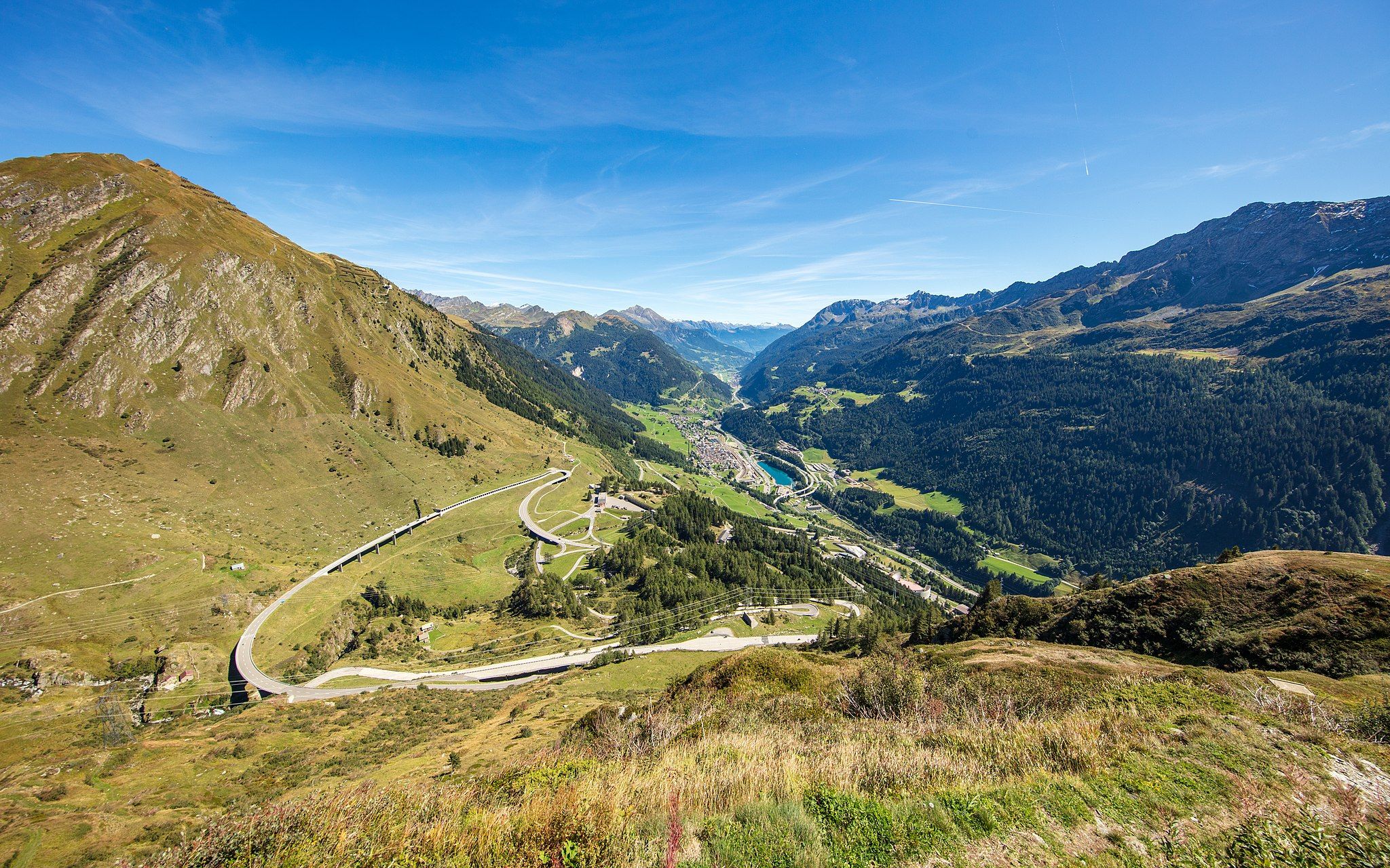
Via Gottardo – Following historic trails
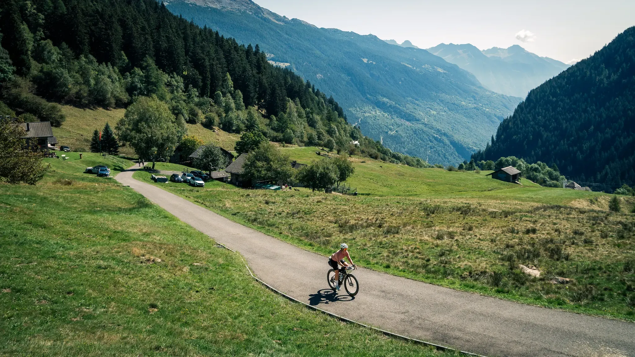
Ticino Traverso: exploring southern Switzerland, one detour at a time
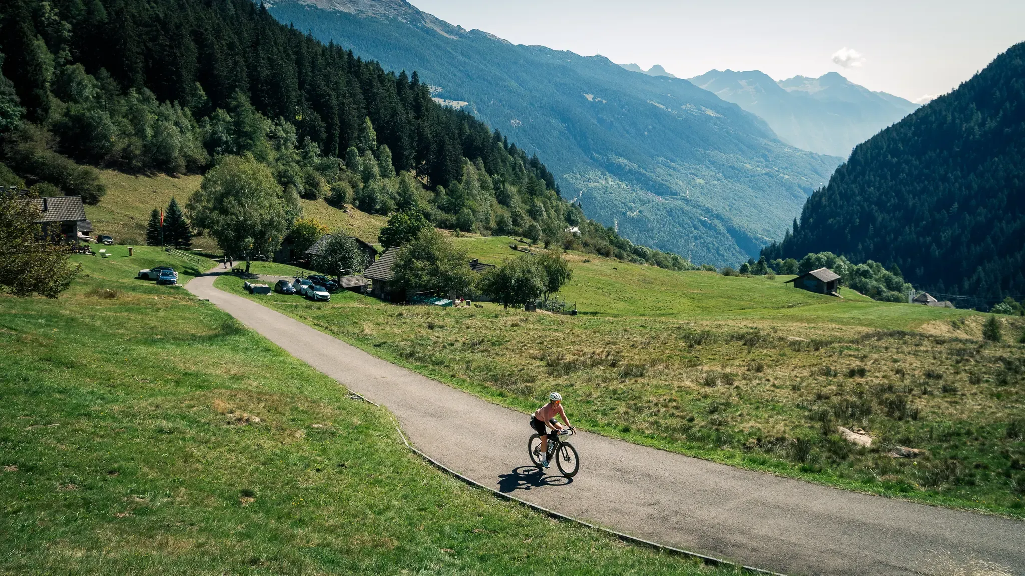
Ticino Traverso: exploring southern Switzerland, one detour at a time
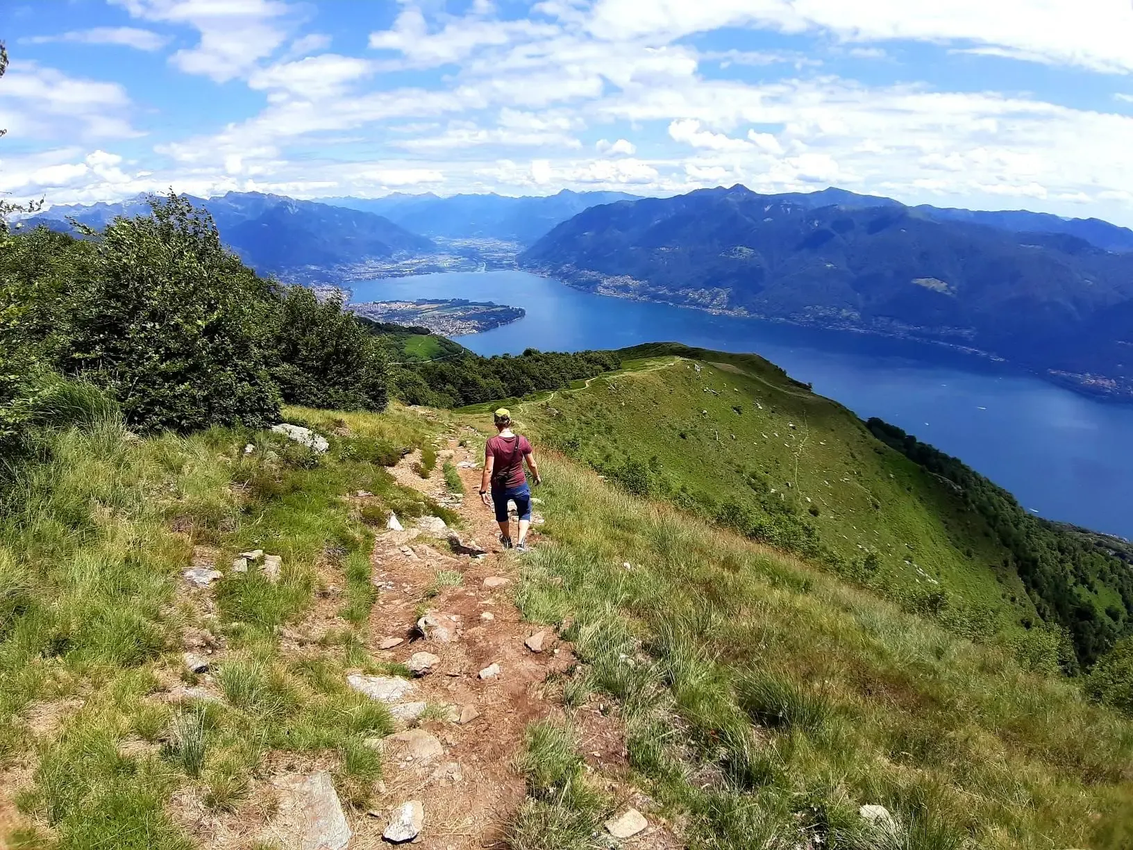
Autumn magic – vibrant, scenic hikes in Ticino
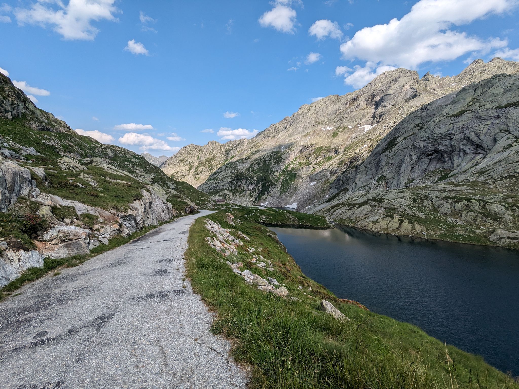
Great passes and green valleys – Ticino climbs
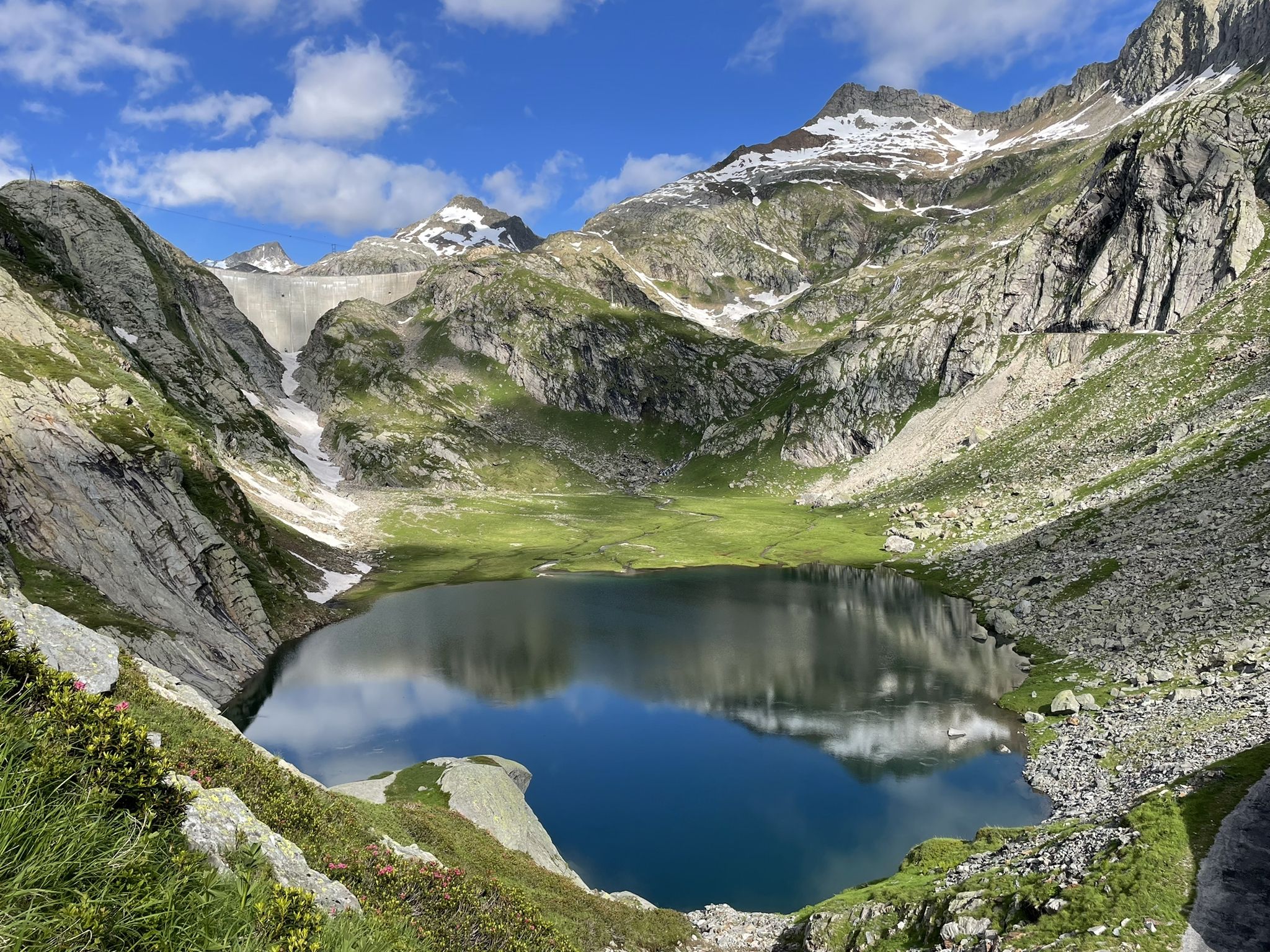
Sentiero Cristallina – 3 days through the mountains of Ticino
Other adventures in Distretto di Vallemaggia


Tips from the Community

Beautiful little church, worth seeing
0
0

Beautiful view of the surroundings
0
0

Adventures await. I won't say more ;)
0
0

The Lura is a stream in Lombardy that originates near the Italian-Swiss border, in the municipality of Uggiate con Ronago, at an altitude of about 400 m. The Lura has a total length of 46.2 km and a drainage basin of 120 km², and is today the largest tributary of the Olona river.
0
0

bridge over the Lura in the homonymous park
0
0


Ancient stone boundary marker from 1757 (Treaty of Varese) separating Italy (Viggiù) from Switzerland (Stabio), nestled in the woods of Monte Orsa.
0
0
The Lura (traditionally called la Lura in the Lombard language) is a stream in Lombardy, 46.2 kilometers long, which originates on the Italian-Swiss border and flows as the main tributary into the Olona river at Rho. The watercourse develops from north to south, crossing 20 Municipalities located within three Lombard provinces: Como, Varese, and Milan
0
0
Frequently Asked Questions
How many gravel bike trails are available in Distretto di Vallemaggia?
Distretto di Vallemaggia offers a wide selection of gravel bike trails, with over 25 routes to explore. These range from easy rides along the valley floor to more challenging ascents into the alpine areas.
What are the typical difficulty levels for gravel biking in Distretto di Vallemaggia?
The trails in Distretto di Vallemaggia cater to various skill levels. You'll find 1 easy route, 12 moderate routes, and 15 difficult routes, ensuring options for both casual riders and experienced gravel bikers seeking a challenge.
What kind of terrain can I expect on the gravel bike trails?
Gravel biking in Vallemaggia offers a diverse experience. Routes feature a mix of asphalt, unpaved 'sterrato' sections, and forest passages. You'll ride along the Maggia River, through traditional villages, and into dense woodlands, including UNESCO beech forests, with terrain varying from flat valley paths to significant climbs.
Are there any circular gravel bike routes in the region?
Yes, many of the gravel bike routes in Distretto di Vallemaggia are designed as loops, allowing you to start and finish in the same location. For example, the Ponte della Torretta – Ponte della Maggia loop from Riviera is a moderate 42 km ride, and the Ascent to Arcegno – Bridge Over the Maggia loop from Maggia offers a 37 km moderate challenge.
Can I find waterfalls along the gravel bike trails in Vallemaggia?
Absolutely! The region is known for its cascading waterfalls. You might encounter the famous Cascata di Foroglio in the picturesque village of Foroglio or the 'Cascata del Salto' in Maggia, offering beautiful natural stops during your ride.
Are there opportunities to swim or cool off along the routes?
Yes, the crystal-clear Maggia River flows through the entire valley and is a prominent feature of many routes. It offers numerous natural pools carved into the rock and fine sandy beaches, perfect for a refreshing break on a warm day.
What charming villages can I visit while gravel biking?
The valley is dotted with picturesque stone villages where you can experience authentic Ticinese architecture. Notable villages include Avegno, Gordevio, Giumaglio, Someo, Bignasco, and Cevio. Many feature traditional grottos where you can enjoy local food and wine.
Are there any notable viewpoints or scenic spots along the trails?
The region offers stunning vistas. The granite gorge at Ponte Brolla marks a dramatic entrance to the valley. For higher elevations, mountain huts like the Cristallina Hut provide spectacular views. You can also find scenic spots like the View of Lake Lugano from Monte San Giorgio.
What do other gravel bikers enjoy most about the trails in Distretto di Vallemaggia?
The area is highly rated by the komoot community, with an average score of 4.5 stars from over 170 reviews. Riders often praise the varied terrain, the stunning natural beauty of the Maggia River and its surroundings, and the immersive journeys through traditional villages and dense woodlands.
Are there any lakes accessible by gravel bike in the region?
While some lakes are higher up, the region features beautiful alpine lakes like Lago di Sassilo and Lago Mognola. You can also find highlights such as Lago dei Cavagnöö, Lago del Zött, and Lago del Narèt, which add to the alpine charm and can be part of more adventurous rides.
What is the best season for gravel biking in Distretto di Vallemaggia?
The varied terrain, extending from riverbanks to alpine areas, means different parts of the region are enjoyable throughout the warmer months. Spring and autumn offer pleasant temperatures for valley rides, while summer allows access to higher elevations. Always check local conditions, especially for alpine sections.
Are there any long-distance gravel routes for experienced riders?
Yes, for those seeking longer and more challenging rides, Distretto di Vallemaggia offers several options. The Tenero–Bellinzona Cycle Path – Magadino Plain loop from Biasca is a 79 km trail, and the Olona Valley Cycle Path – Monastery of Torba loop from Stabio is a difficult 67 km path with significant elevation gain.
Most popular routes in Distretto di Vallemaggia
Most popular attractions in Distretto di Vallemaggia

Get inspired with the komoot mobile app


Didn’t find what you were looking for?
Check out more Gravel rides throughout Distretto di Vallemaggia below and find the perfect route in your destination.
Explore more
Browse the best Gravel rides in other regions.
