The best traffic-free bike rides around Burnevillers
4.6
(227)
2,678
riders
45
rides
No traffic touring cycling routes around Burnevillers are situated in the Doubs department of Bourgogne-Franche-Comté, eastern France. The region features a diverse landscape with nearly half its area covered by forests and another 49% by prairies, providing a verdant backdrop for cycling. Elevations range from 570 to 892 meters, offering varied terrain with both ascents and descents. The area is characterized by the Doubs River and its gorges, along with several lakes and wetlands, including the Étang de la Gruère and Étang Plain-de-Saigne.
Best no traffic touring cycling routes around Burnevillers
- The most popular no traffic touring cycling route is Saint-Ursanne Railway Viaduct – Doubs Valley loop from Soubey, a 24.6 miles (39.6 km) trail that takes 3 hours 8 minutes to complete. This difficult route features significant elevation gain through the Doubs Valley.
- Another top favourite among local touring cyclists is At the Monkey Rock – Suspension bridge over the Doubs loop from Soubey, a difficult 21.4 miles (34.5 km) path. This route offers challenging terrain and scenic views of the Doubs River.
- Local touring cyclists also love the Le Pré-Petitjean – Access to Étang de la Gruère loop from Montfaucon, an 11.8 miles (19.0 km) trail leading through varied landscapes, often completed in about 1 hour 22 minutes.
- Touring cycling around Burnevillers is defined by dense forests, open prairies, and the dramatic Doubs River gorges. The network offers options for easy, moderate, and difficult routes, catering to different ability levels.
- The routes in Burnevillers are highly rated by the komoot community with an average score of 4.6 stars from more than 200 reviews. More than 2,600 touring cyclists have used komoot to explore Burnevillers's varied terrain.
Last updated: July 3, 2026
4.9
(8)
135
riders
39.6km
03:08
820m
820m
Hard bike ride. Very good fitness required. Mostly paved surfaces. Suitable for all skill levels.
5.0
(3)
64
riders
38.2km
03:07
760m
760m
Hard bike ride. Very good fitness required. Mostly paved surfaces. Suitable for all skill levels.

Sign up for free
5.0
(4)
32
riders
11.9km
00:51
160m
160m
Moderate bike ride. Good fitness required. Mostly paved surfaces. Suitable for all skill levels.
4.5
(2)
20
riders
14.7km
01:04
240m
240m
Moderate bike ride. Good fitness required. Mostly paved surfaces. Suitable for all skill levels.
4.0
(1)
14
riders
19.1km
01:22
260m
260m
Moderate bike ride. Good fitness required. Mostly paved surfaces. Suitable for all skill levels.
Get access to more routes and recommendations from other explorers.
Sign up for free
Already have an account?
Our route recommendations are based on thousands of hikes, rides, and runs completed by other people on komoot.
Start today with a free account
Your next adventure awaits.
Login or Signup
Popular around Burnevillers

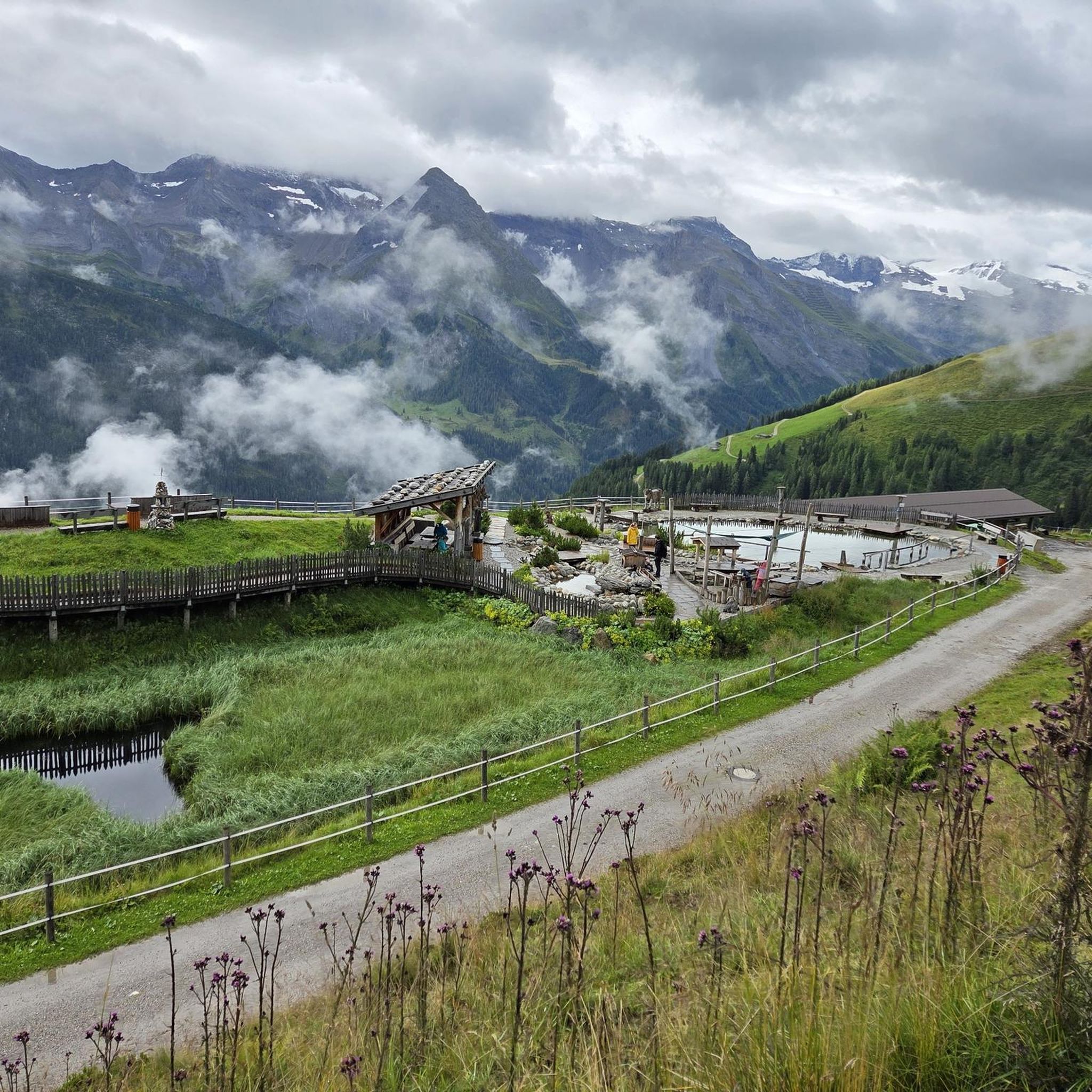
Tips from the Community

pretty here, very pretty
0
0

Between the village of Soubey and the Hotel & Campsite of Tariche, there is a connecting path that can be ridden with a gravel bike or a bike with wide tires – the section is not suitable for road bikes as it runs on gravel for a longer stretch. The landscape here is beautiful: you pass a few farms and see the Doubs flowing alongside you. This idyll makes up for every drop of sweat!
0
0

A detour to this natural pearl is worthwhile
0
0

nice cafe with organic shop and fine organic products
0
0

An impressive structure, if you have time to look at it on the descent. On the way up, there's plenty of time to enjoy the view.
0
0

Beautiful paths lead to the lake, which is covered by a thick layer of ice in winter - it could be accessed.
1
1

Very pleasant offer for hikers and cyclists with a "cash box of trust"
0
0

Beautiful border crossing from Switzerland to France in the Jura. When you pass through Goumois, be sure to take the bridge over the Doubs, which serves as the border between France and Switzerland, or climb one of the viewpoints, which offers unique vantage points on the Gorges du Doubs and the Swiss Jura.
2
0
Frequently Asked Questions
How many no-traffic touring cycling routes are available around Burnevillers?
There are nearly 50 dedicated no-traffic touring cycling routes around Burnevillers. These routes cater to various skill levels, with 3 easy, 19 moderate, and 25 difficult options, ensuring a suitable ride for every cyclist.
What kind of terrain can I expect on no-traffic touring cycling routes in the Burnevillers area?
The region around Burnevillers features a diverse landscape of forests and grasslands, with elevations ranging from 570 to 892 meters. This means you can expect a mix of ascents and descents, offering varied and engaging terrain for touring cyclists. The routes often traverse verdant scenery within the Doubs Horloger Regional Natural Park.
Are there any circular no-traffic touring cycling routes near Burnevillers?
Yes, many of the no-traffic touring cycling routes around Burnevillers are circular, allowing you to start and end at the same point. An example is the Saint-Ursanne Railway Viaduct – Doubs Valley loop from Soubey, which is a challenging 39.6 km ride with over 800 meters of elevation gain.
What natural attractions can I see along the no-traffic touring cycling routes?
The routes often pass by stunning natural features. You might encounter impressive waterfalls like the Bief Waterfall, or the dramatic Gorges du Doubs. The region also features serene lakes and wetlands, such as the Étang de la Gruère, a nature reserve perfect for peaceful stops.
Are there any family-friendly no-traffic touring cycling routes in Burnevillers?
While many routes involve varied terrain, there are easy and moderate options suitable for families. For instance, the Church in Montfaucon – Le Pré-Petitjean loop from Montfaucon is a moderate 11.8 km route with manageable elevation, offering a pleasant experience for those seeking a less strenuous ride.
What do other touring cyclists enjoy most about cycling in Burnevillers?
The area is highly rated by the komoot community, with an average score of 4.6 stars from over 200 ratings. Reviewers often praise the quiet, traffic-free nature of the routes, the beautiful natural landscapes, and the varied terrain that keeps rides interesting.
Can I find places to eat or stay along the no-traffic touring cycling routes?
The region around Burnevillers, being part of the Bourgogne-Franche-Comté, has numerous villages and towns. While specific cafes or accommodations are not listed for every route, you can often find options in nearby settlements. For example, the Le Theilungsrecht Restaurant and Waterfall is a notable spot that combines dining with a natural attraction.
What is the best time of year for no-traffic touring cycling in Burnevillers?
The best time for touring cycling in Burnevillers is generally from spring through autumn when the weather is mild and the natural landscapes are at their most vibrant. The region's forests and grasslands are particularly beautiful during these seasons, offering pleasant conditions for longer rides.
Are there any routes that offer views of the Doubs River or its gorges?
Yes, several routes provide opportunities to experience the stunning Doubs River and its gorges. The At the Monkey Rock – Suspension bridge over the Doubs loop from Soubey is a challenging route that takes you close to these dramatic natural features, including a suspension bridge over the river.
Where can I park my car to access these no-traffic cycling routes?
Many of the routes start from villages or towns like Soubey or Montfaucon, where public parking is typically available. For example, routes like the Étang des Royes – Le Pré-Petitjean loop from Montfaucon begin in Montfaucon, making it a convenient starting point for cyclists arriving by car.
Are there any routes that pass by lakes or wetlands?
Absolutely. The region is known for its serene water bodies. The Le Pré-Petitjean – Access to Étang de la Gruère loop from Montfaucon is a moderate route that provides access to the Étang de la Gruère, a beautiful nature reserve and lake, offering a peaceful cycling experience.
Most popular routes around Burnevillers
Most popular attractions around Burnevillers

Get inspired with the komoot mobile app


Explore more
Browse the best Cycling routes in other regions.
