The best gravel rides around Burnevillers
4.8
(14)
110
riders
12
rides
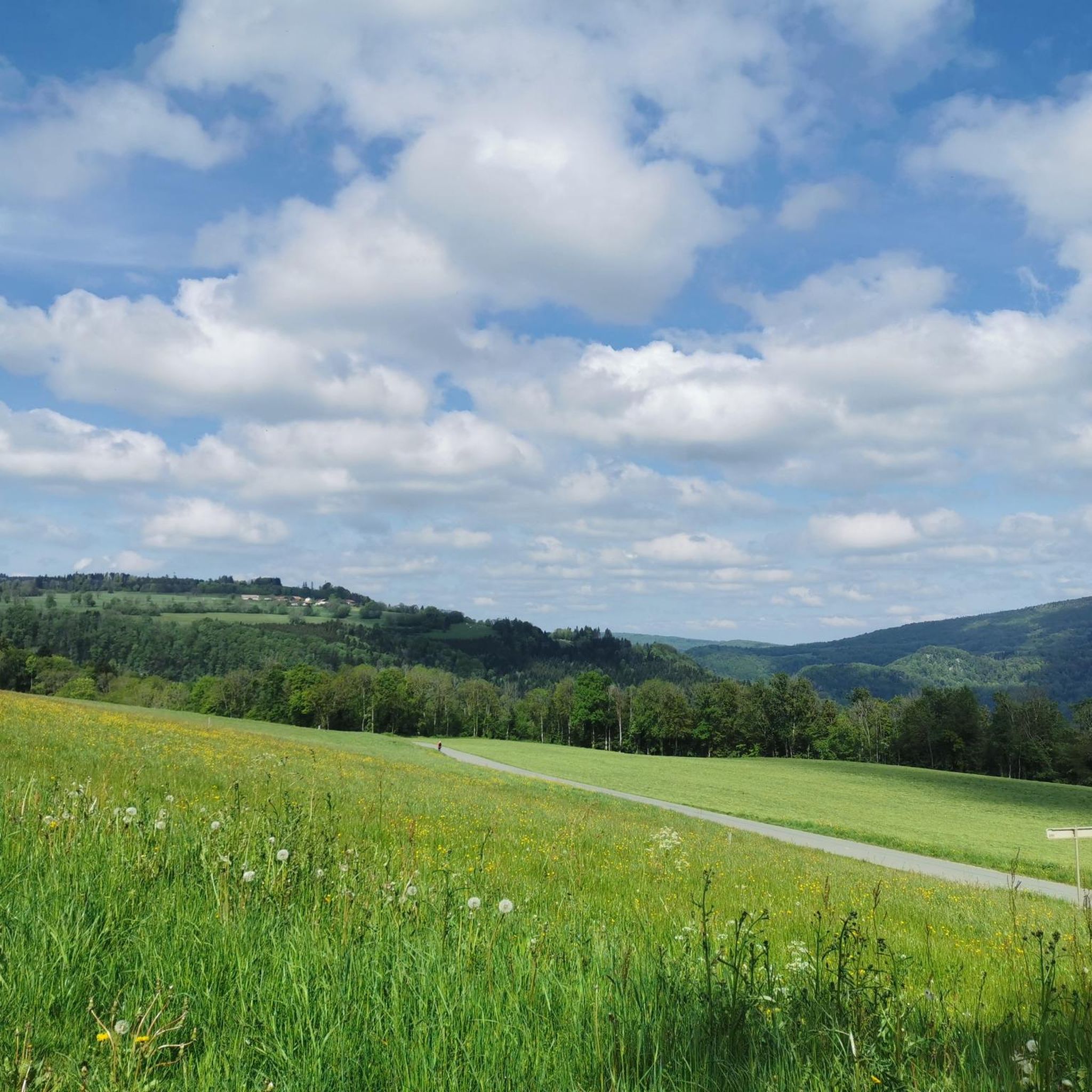
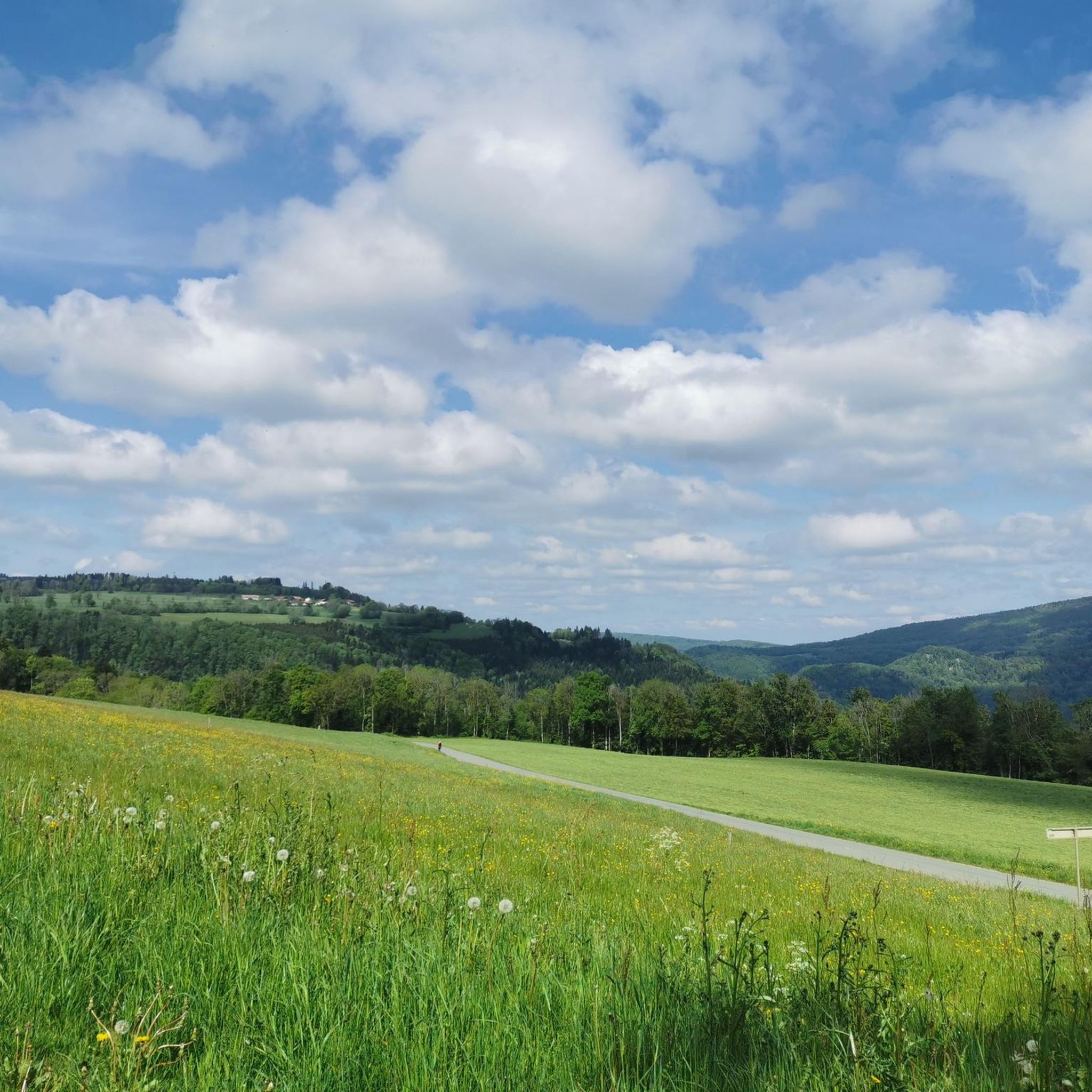
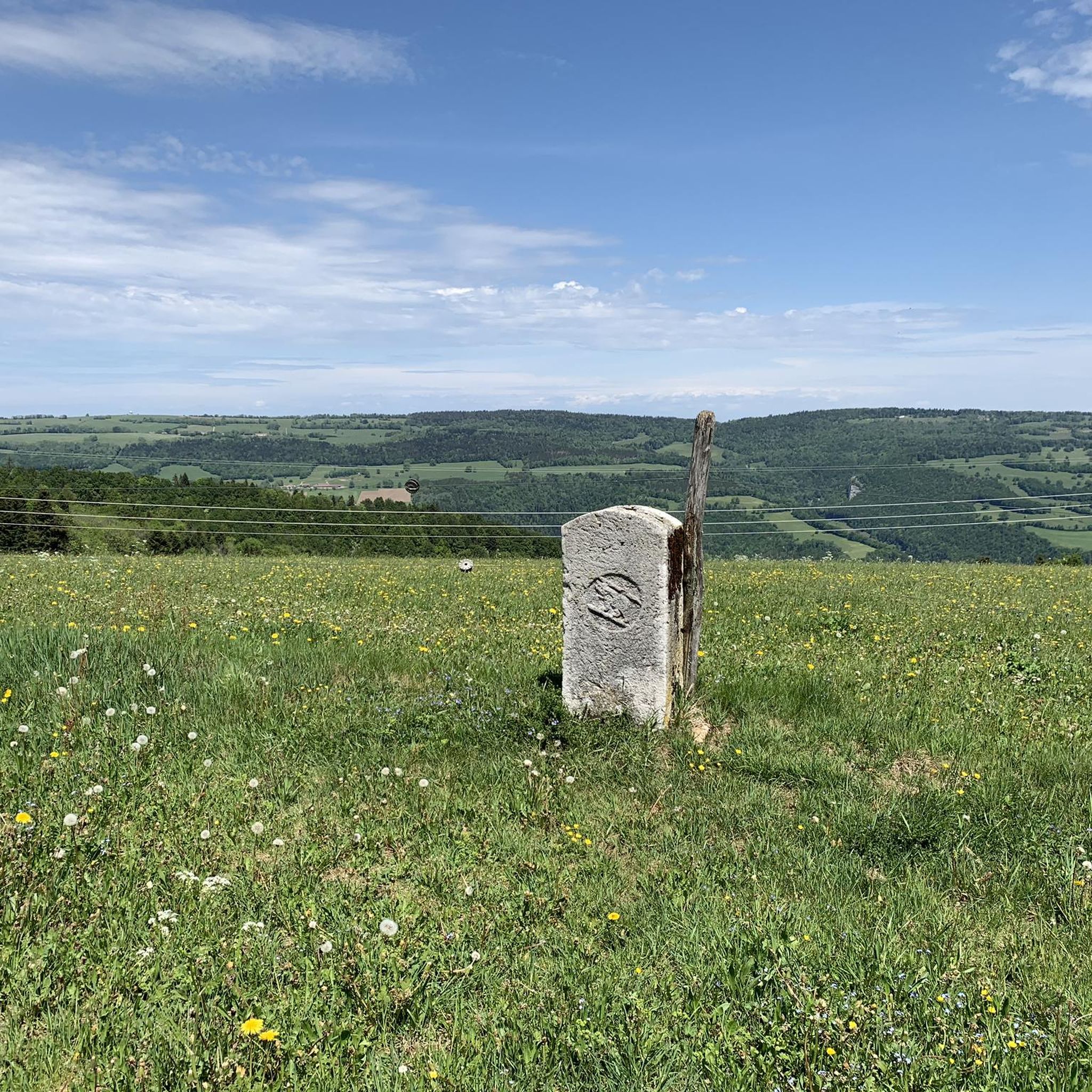
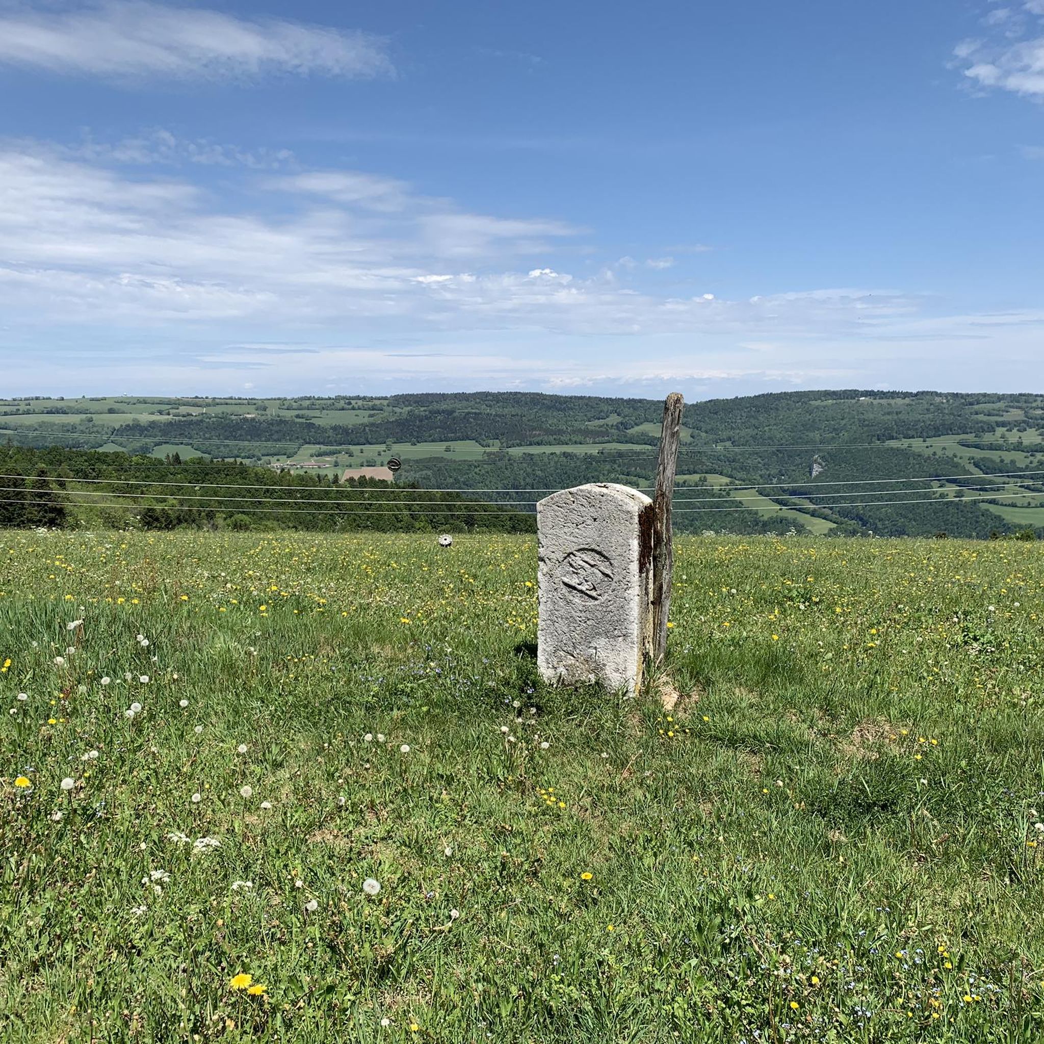
Gravel biking around Burnevillers offers varied terrain across a mountain plateau overlooking the winding Doubs valley. The area features altitudes ranging from 570m to 892m, providing diverse topography for cyclists. Extensive forests and grasslands, part of the Franco-Swiss Transdoubs network, offer numerous unpaved roads and trails. The region's natural features, including the Doubs River, contribute to a range of gravel biking experiences.
Best gravel bike trails around Burnevillers
- The most popular gravel bike trail is Doubs Valley – Doubs loop…
Last updated: July 3, 2026
4.8
(6)
52
riders
60.6km
04:05
1,120m
1,120m
Hard gravel ride. Very good fitness required. Mostly paved surfaces. Suitable for all skill levels.
4.5
(4)
32
riders
59.0km
03:54
1,070m
1,070m
Hard gravel ride. Very good fitness required. Mostly paved surfaces. Suitable for all skill levels.

Sign up for free
4.5
(2)
8
riders
111km
07:47
1,890m
1,890m
Hard gravel ride. Very good fitness required. Mostly paved surfaces. Suitable for all skill levels.
5.0
(1)
9
riders
53.2km
03:33
830m
830m
Hard gravel ride. Very good fitness required. Mostly paved surfaces. Suitable for all skill levels.
5.0
(1)
9
riders
Hard gravel ride. Very good fitness required. Mostly paved surfaces. Suitable for all skill levels.
Get access to more routes and recommendations from other explorers.
Sign up for free
Already have an account?
Our route recommendations are based on thousands of hikes, rides, and runs completed by other people on komoot.
Start today with a free account
Your next adventure awaits.
Login or Signup
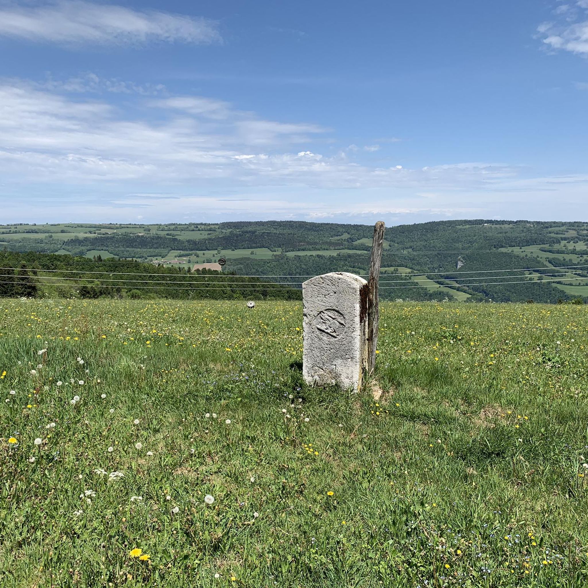
Tips from the Community

pretty here, very pretty
0
0
pretty here, very pretty
0
0

Goumois offers some culinary surprises, e.g. trout and other specialties.
0
0

Between the village of Soubey and the Hotel & Campsite of Tariche, there is a connecting path that can be ridden with a gravel bike or a bike with wide tires – the section is not suitable for road bikes as it runs on gravel for a longer stretch. The landscape here is beautiful: you pass a few farms and see the Doubs flowing alongside you. This idyll makes up for every drop of sweat!
0
0

The back of the Chasseral is always a beautiful view
0
0
The oldest solar laboratory in Switzerland
0
0

The wind turbines are impressive and the view is great
0
0

A rock that unmistakably resembles the face of a monkey 😉
0
0
Frequently Asked Questions
How many gravel bike trails are available around Burnevillers?
There are over 20 gravel bike routes available around Burnevillers, offering a variety of experiences across the region's diverse terrain. These routes are highly rated by the komoot community.
What kind of terrain can I expect on gravel bike trails in Burnevillers?
Gravel biking in Burnevillers features varied terrain, from a mountain plateau overlooking the winding Doubs valley to extensive forests and grasslands. You'll encounter altitudes ranging from 570m to 892m, providing a mix of climbs and descents on unpaved roads and trails.
What are the difficulty levels of gravel biking routes in Burnevillers?
The gravel biking routes in Burnevillers cater to both moderate and difficult ability levels. You'll find 9 moderate routes and 12 difficult routes, ensuring options for various fitness and skill levels.
When is the best time of year for gravel biking in Burnevillers?
Given Burnevillers' 'climat de montagne' (mountain climate), the best time for gravel biking is typically from late spring through early autumn. During these months, the weather is generally more stable and pleasant, making for ideal riding conditions on the plateau and through the forests.
Are there any natural landmarks or scenic viewpoints along the gravel bike trails in Burnevillers?
Yes, many routes offer stunning natural features. You can find viewpoints overlooking the Doubs River, such as View of the Doubs. The nearby Bief Waterfall is also a notable natural attraction that can be incorporated into longer rides.
Can I find any interesting caves or gorges near the gravel biking routes?
Absolutely. The region is known for its dramatic landscapes. You can explore highlights like the Échelle de la Mort gorge or the fascinating Réclère Caves and Prehistoric Park, which are accessible from some of the gravel biking areas.
What do other gravel bikers say about the trails in Burnevillers?
The gravel biking routes in Burnevillers are highly rated by the komoot community, with an average score of 4.7 stars from over 20 reviews. More than 190 gravel bikers have used komoot to explore the area, often praising the varied terrain and scenic beauty of the Doubs Valley.
Are there any circular gravel bike routes in Burnevillers?
Yes, many of the gravel routes around Burnevillers are designed as loops. For example, the challenging Doubs Valley – Doubs loop from Le Bémont and the scenic Doubs Valley – St. Ursanne Stone Bridge loop from Ocourt are popular circular options.
Are the gravel bike trails in Burnevillers suitable for families?
While many routes in Burnevillers are rated moderate to difficult due to the mountainous terrain and elevation changes, some sections of the extensive forest and grassland paths might be suitable for families with older, experienced children. It's best to check individual route details for specific difficulty and surface information.
Are dogs allowed on the gravel bike trails in Burnevillers?
Generally, dogs are welcome on trails in natural areas around Burnevillers, especially within the forests and grasslands. However, it is always recommended to keep them on a leash, particularly in areas with wildlife or near livestock, and to check local regulations for any specific restrictions.
Where can I find parking for gravel biking routes in Burnevillers?
Parking is typically available at the starting points of many routes or in nearby villages. For example, routes often begin from locations like Le Bémont, Ocourt, or Combe-Tabeillon, where you can usually find designated parking areas for outdoor enthusiasts.
Are there any cafes or places to stop for refreshments along the gravel bike routes?
While Burnevillers itself is a small village, some longer routes may pass through or near other villages in the Doubs Valley where you can find cafes or restaurants. For instance, the Restaurant Le Theusseret on the Doubs – Doubs Suspension Bridge loop from Soubey suggests a potential stop along that route.
What is the longest gravel bike route available in the Burnevillers area?
The longest gravel bike route in the immediate area is the Doubs – Doubs Valley loop from Combe-Tabeillon, which spans 69.1 miles (111.2 km) and typically takes nearly 10 hours to complete, offering an extensive exploration of the valley.
Most popular routes around Burnevillers
Most popular attractions around Burnevillers

Get inspired with the komoot mobile app


Explore more
Browse the best Gravel rides in other regions.
