The best road cycling routes around Burnevillers
4.6
(43)
1,151
riders
48
rides
Road cycling routes around Burnevillers navigate a landscape characterized by river valleys, such as the Doubs, and significant elevation changes, including passes and gorges. The region features a mix of open countryside and forested areas, offering varied terrain for road cyclists. Roads often follow natural contours, providing both challenging climbs and scenic descents.
Best road cycling routes around Burnevillers
- The most popular road cycling route is Schelten Pass and Sorne Gorge Loop, a 94.6 miles (152.2 km) trail that…
Last updated: July 8, 2026
1
riders
152km
07:37
2,260m
2,260m
Hard road ride. Very good fitness required. Mostly well-paved surfaces and easy to ride.
4.0
(7)
55
riders
Easy road ride. Great for any fitness level. Mostly well-paved surfaces and easy to ride.

Sign up for free
31
riders
34.8km
02:09
920m
920m
Hard road ride. Very good fitness required. Mostly well-paved surfaces and easy to ride.
5.0
(2)
62
riders
58.1km
03:15
1,170m
1,170m
Hard road ride. Very good fitness required. Mostly well-paved surfaces and easy to ride.
27
riders
65.5km
02:54
590m
590m
Moderate road ride. Good fitness required. Mostly well-paved surfaces and easy to ride.
Get access to more routes and recommendations from other explorers.
Sign up for free
Already have an account?
Our route recommendations are based on thousands of hikes, rides, and runs completed by other people on komoot.
Start today with a free account
Your next adventure awaits.
Login or Signup

Tips from the Community

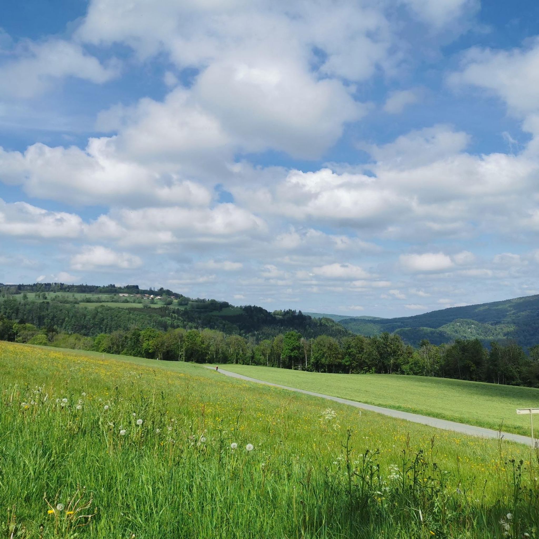
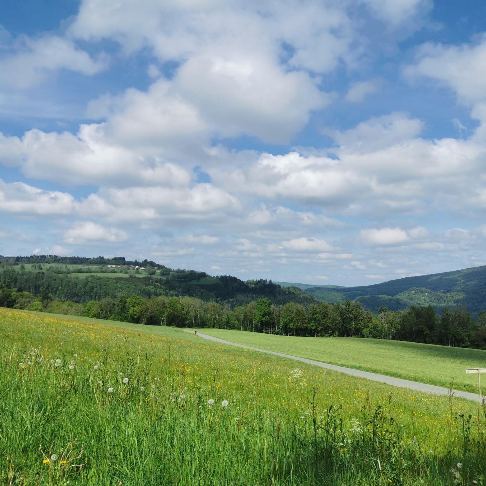
Beautiful on both sides! From Mervelier, you first have to conquer a few short, steep ramps, then the road flattens out and you go directly along the stream through the narrow valley. From the Scheltenmühle onwards, it climbs steeply again; there are 300 meters of altitude gain from there to the pass crossing. At the very top, a short detour to the Vorder Erzberg mountain inn is worthwhile. There you can refuel and enjoy a fantastic view towards Passwang.
0
0

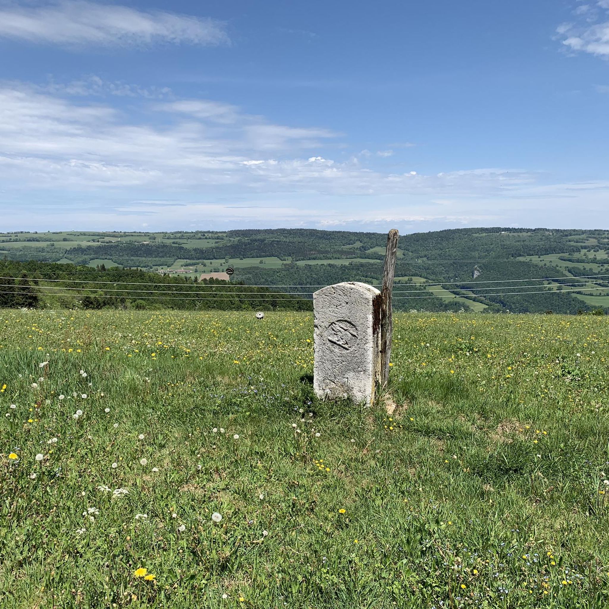
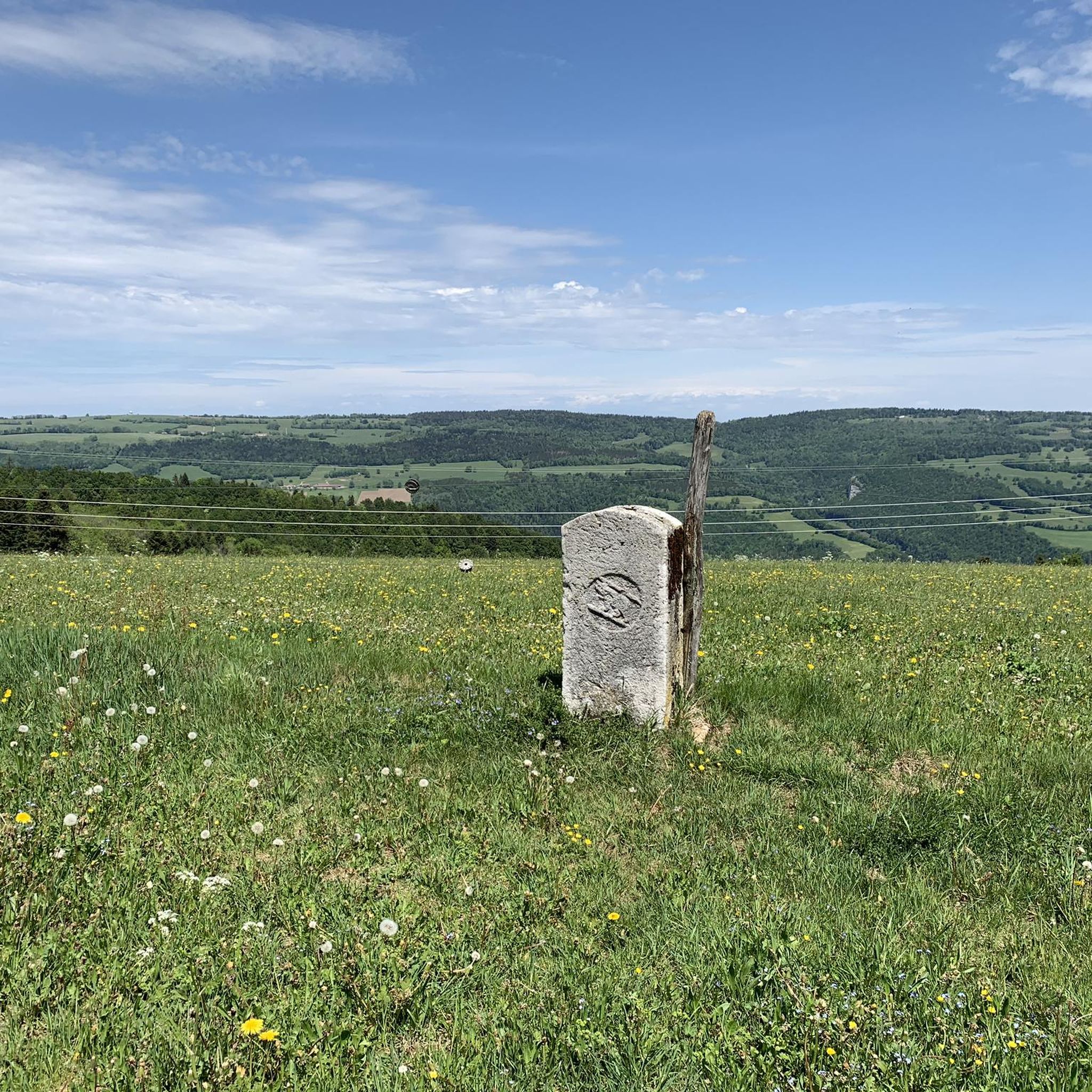
pretty here, very pretty
0
0


Dedicated, young tenants; freshly squeezed juices
0
0

The beautiful old stone railway bridge crosses the valley with the road to the Col des Rangiers. The slender yet mighty bridge arches can be seen from afar and also mark the beginning of the climb.
0
0

Before climbing up or descending to Les Rangiers, this fountain offers cold fresh drinking water to refill your water bottles.
0
0

Frequently Asked Questions
How many road cycling routes are available around Burnevillers?
There are nearly 50 road cycling routes around Burnevillers, offering a diverse range of experiences. This includes 3 easy routes, 23 moderate routes, and 22 difficult routes, catering to various skill levels.
Are there any easy road cycling routes suitable for beginners in Burnevillers?
Yes, Burnevillers offers a few easy road cycling routes perfect for beginners or those seeking a relaxed ride. An excellent option is the Saint-Vincent Church, Cornol – Porrentruy Botanical Garden loop from Fontenais, an 18.5-mile (29.8 km) path that gently winds through villages and past cultural landmarks.
What are some challenging road cycling routes in Burnevillers for experienced riders?
For experienced road cyclists seeking a challenge, Burnevillers features several demanding routes. The Schelten Pass and Sorne Gorge Loop is a notable difficult route, spanning 94.6 miles (152.2 km) with significant climbs. Another challenging option is the Soubey – Church in Montfaucon loop from Clos du Doubs, which covers 22.0 miles (35.4 km) through the Doubs river region with considerable elevation.
Are there any circular road cycling routes in Burnevillers?
Many of the road cycling routes in Burnevillers are designed as loops, allowing you to start and finish at the same point. Examples include the Saint-Vincent Church, Cornol – Porrentruy Botanical Garden loop from Fontenais and the St. Ursanne Stone Bridge – View of the Jura Valley loop from Clos du Doubs.
What kind of scenery can I expect on road cycling routes around Burnevillers?
Road cycling around Burnevillers offers diverse scenery, characterized by river valleys like the Doubs, challenging passes, and scenic gorges. You'll encounter a mix of open countryside and forested areas, providing varied terrain and picturesque views throughout your ride.
Are there any scenic routes that follow the Doubs river?
Yes, the Doubs river is a prominent feature of the region's landscape, and several routes offer scenic views along its course. The Scenic trail along the Doubs – Saint-Hippolyte village loop from Glère is a moderate 68.1-kilometer route that provides beautiful vistas of the river and surrounding areas.
What natural attractions can I see along the road cycling routes in Burnevillers?
While cycling around Burnevillers, you can encounter several natural attractions. Highlights include the tranquil Étang de la Gruère and Étang Plain-de-Saigne lakes, the majestic Doubs river, and the impressive Bief Waterfall. Some routes also pass through dramatic gorges like the Échelle de la Mort.
What do other road cyclists say about the routes in Burnevillers?
The road cycling routes in Burnevillers are highly regarded by the komoot community, with an average rating of 4.7 stars from over 40 reviews. Cyclists often praise the varied terrain, from challenging climbs over passes to scenic descents through gorges, and the overall beauty of the region's natural landscape.
Are there any routes that pass by botanical gardens or cultural landmarks?
Yes, some routes offer a blend of natural beauty and cultural interest. The Saint-Vincent Church, Cornol – Porrentruy Botanical Garden loop from Fontenais is an easy route that takes you past the Porrentruy Botanical Garden and other local landmarks.
What is the best season for road cycling in Burnevillers?
The best season for road cycling in Burnevillers is typically from late spring to early autumn (May to October). During these months, the weather is generally milder, and the roads are clear, offering ideal conditions to enjoy the region's varied terrain and scenic beauty.
Are there any routes with significant elevation changes for climbing enthusiasts?
Absolutely. Burnevillers is known for its significant elevation changes, making it a great destination for climbing enthusiasts. The Schelten Pass and Sorne Gorge Loop, for instance, features over 2,200 meters of ascent, providing a substantial challenge.
Most popular routes around Burnevillers
Most popular attractions around Burnevillers

Get inspired with the komoot mobile app


Explore more
Browse the best Road cycling routes in other regions.
