The best hikes from bus stations around Monte Brione
4.5
(21993)
128,252
hikers
439
hikes
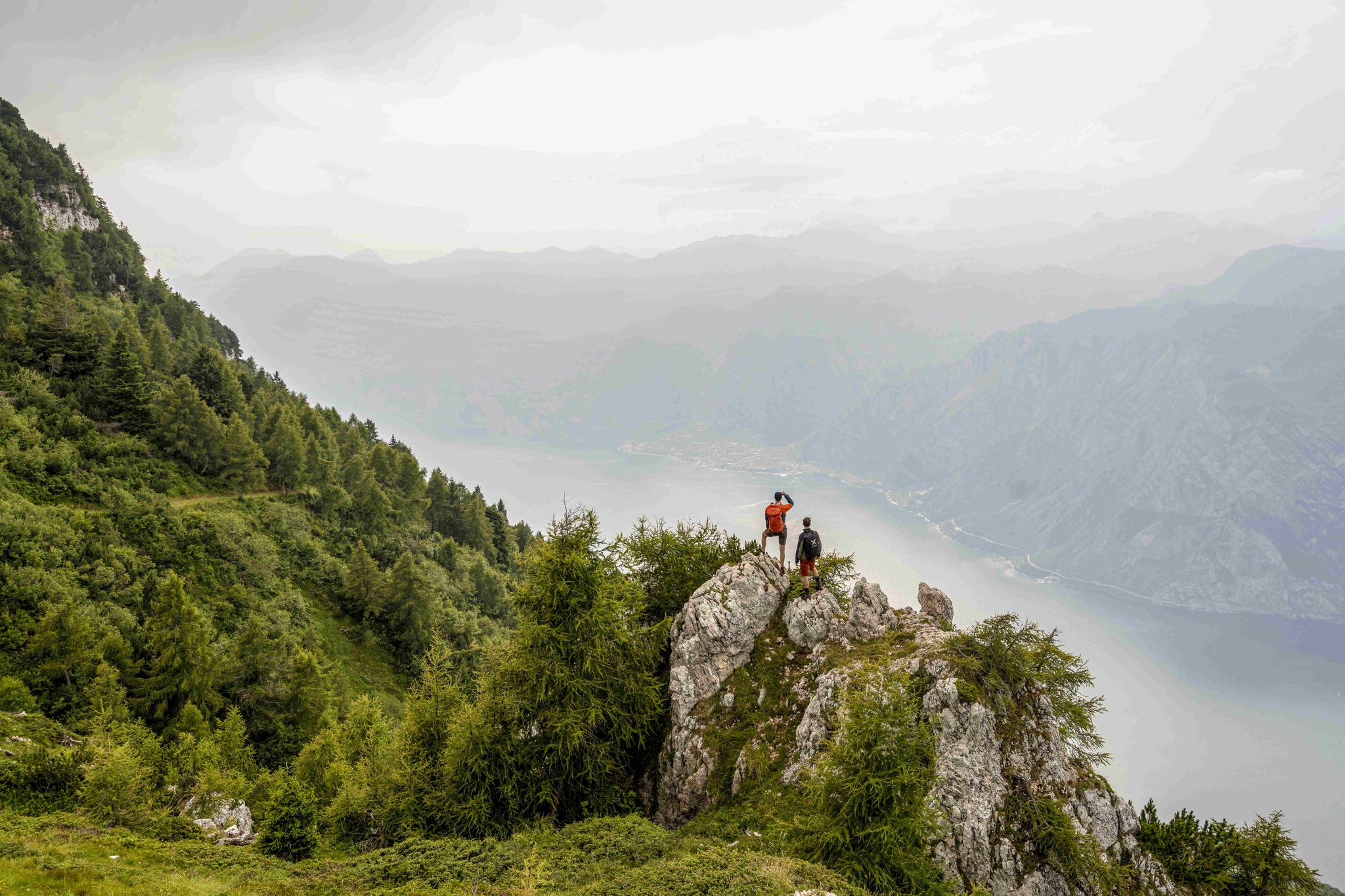
Bus station hiking trails around Monte Brione offer access to a distinctive landform situated between Riva del Garda and Torbole at the northern tip of Lake Garda. This protected nature reserve features extensive olive groves, diverse forests, and a rich variety of flora. The trails provide panoramic views of Lake Garda, the Sarca plain, and the Monte Baldo massif, often leading past historical fortifications. The terrain includes varied paths, some with steps and steeper sections, suitable for different hiking abilities.
…Last updated: June 29, 2026
4.7
(686)
2,676
hikers
10.1km
03:09
300m
300m
Moderate hike. Good fitness required. Mostly accessible paths. Sure-footedness required.
4.6
(32)
256
hikers
Moderate hike. Great for any fitness level. Mostly accessible paths. Sure-footedness required.

Sign up for free
4.5
(20)
121
hikers
18.6km
06:32
940m
940m
Hard hike. Very good fitness required. Sure-footedness, sturdy shoes and alpine experience required.
4.4
(17)
132
hikers
7.59km
02:10
150m
150m
Moderate hike. Good fitness required. Mostly accessible paths. Sure-footedness required.
4.8
(26)
182
hikers
Hard hike. Very good fitness required. Mostly accessible paths. Sure-footedness required.
Get access to more routes and recommendations from other explorers.
Sign up for free
Already have an account?
Our route recommendations are based on thousands of hikes, rides, and runs completed by other people on komoot.
Start today with a free account
Your next adventure awaits.
Login or Signup
Popular around Monte Brione
Other adventures around Monte Brione

Tips from the Community

Beautiful view of the lake and the surrounding mountains
0
0
Beautiful stretch of beach where you can swim for free and where a lawn for sunbathing is also available.
0
0
Beautiful view of Riva, the lake and the Monte Brione behind
0
0

The view is truly dramatic. The lake and the rugged mountains. Very impressive.
1
0

A pleasant walk from Nago to Torbole. The first section is paved, while the last section is a bit rougher.
0
0

A very beautiful path through olive trees leads to Torbole.
0
0

Porta San Marco is a tower nestled among the townhouses in Riva del Garda; the water fountain at the entrance is a welcome relief for many in these temperatures.
1
0

Great track to drive there but watch out for the brakes
1
0
Frequently Asked Questions
How many bus-accessible hiking trails are there around Monte Brione?
There are over 350 hiking routes around Monte Brione that are accessible from bus stations. These trails offer a wide range of experiences, from easy strolls to more challenging ascents, catering to various fitness levels.
What are the typical difficulties of bus station hikes in Monte Brione?
The bus-accessible hikes around Monte Brione offer a good mix of difficulties. You'll find over 130 easy routes, more than 150 moderate options, and around 60 difficult trails. This variety ensures there's a suitable path for almost every hiker, from beginners to experienced trekkers.
Are there any easy, family-friendly routes accessible by bus?
Yes, Monte Brione offers several easy and family-friendly routes accessible by bus. Many trails are considered easy to medium difficulty, making them suitable for families. For a relatively easy option, consider the route "Climb to Monte Brione – View of the Alps and River loop from Riva del Garda" which is an easy 4.7 km loop from Riva del Garda.
Can I bring my dog on these trails?
Monte Brione is generally dog-friendly, and many trails are suitable for hiking with your canine companion. However, it's always recommended to keep dogs on a leash, especially in protected areas or when passing through olive groves and near historical sites. Always carry water for your dog and clean up after them.
What kind of views and natural features can I expect on these hikes?
Hikes around Monte Brione offer stunning panoramic views of Lake Garda, the Sarca plain, and the Monte Baldo massif. You'll traverse diverse landscapes, including extensive olive groves, lush forests, and areas rich in unique wild flora, such as over 20 species of wild orchids. Key viewpoints include "Rest Area With View of Lake Garda" and "View of Lake Garda, Riva and Torbole from Monte Brione".
Are there historical sites along the bus-accessible trails?
Absolutely. Monte Brione is dotted with historical fortifications from the Austro-Hungarian Empire and World War I. Trails often lead past well-preserved forts like Forte S. Nicolò, Forte Garda, and Forte Batteria di Mezzo. You can explore "Forte di Mezzo and the view of Lake Garda from Monte Brione" and "Middle Battery (Monte Brione)" for a glimpse into the region's past.
What is the best time of year to hike Monte Brione from a bus station?
Monte Brione is suitable for hiking year-round due to its sub-Mediterranean climate. However, it's advisable to avoid the hottest hours during summer afternoons due to sun exposure. Spring and autumn offer pleasant temperatures and vibrant natural scenery, while winter provides a quieter experience with crisp views.
Are there any circular routes starting from bus stops?
Yes, many of the bus-accessible routes around Monte Brione are circular, allowing you to return to your starting point without retracing your steps. An example is the "Pine Beach (Lake Garda) – View of Northern Lake Garda loop from Linfano", a moderate 8.3 km loop.
What do other hikers say about the Monte Brione trails?
The trails around Monte Brione are highly regarded by the komoot community, with an average rating of 4.5 out of 5 stars from nearly 20,000 ratings. Hikers frequently praise the breathtaking panoramic views, the well-maintained paths, and the unique blend of natural beauty with historical fortifications.
Can you recommend a moderate bus-accessible hike with good views?
For a moderate hike with excellent views, consider the "View from Monte Brione – View of Northern Lake Garda loop from Linfano". This 9.7 km loop offers stunning vistas of Northern Lake Garda and takes you through varied terrain, providing a rewarding experience.
Are there any longer, more challenging bus-accessible hikes?
If you're looking for a longer and more challenging option, the "Old Port of Torbole – Old Port of Torbole loop from Linfano" is a difficult 18.6 km route with significant elevation gain. This trail provides an extensive exploration of the area and its panoramic offerings.
What should I pack for a bus station hike in Monte Brione?
For hikes around Monte Brione, especially those starting from bus stations, it's essential to pack water, snacks, appropriate footwear for varied terrain (some paths can be steep or uneven), sun protection (hat, sunscreen), and layers of clothing as temperatures can change. A map or GPS device is also recommended, along with a fully charged phone.
Most popular routes around Monte Brione
Most popular attractions around Monte Brione

Get inspired with the komoot mobile app


Explore more
Browse the best Hikes in other regions.
