The best hikes from bus stations around Forêt Départementale de Tamié
4.4
(621)
7,420
hikers
54
hikes
Bus station hiking trails around Forêt Départementale de Tamié offer access to a diverse landscape within the Massif des Bauges Regional Natural Park. The region features shaded forest paths, verdant pastures, and riverbanks, with terrain ranging from gentle slopes to significant mountain ascents. Hikers can experience panoramic views of Lake Annecy, Mont Blanc, and the Aravis mountains, alongside historical sites like the Abbaye de Tamié and Fort de Tamié. The Val de Tamié, a glacial valley, further defines the area's…
Last updated: July 13, 2026
4.7
(19)
275
hikers
12.8km
05:19
960m
960m
Hard hike. Very good fitness required. Sure-footedness, sturdy shoes and alpine experience required.
4.5
(22)
233
hikers
11.6km
04:58
930m
940m
Hard hike. Very good fitness required. Mostly accessible paths. Sure-footedness required.

Sign up for free
5.0
(6)
91
hikers
17.5km
07:07
1,180m
1,180m
Hard hike. Very good fitness required. Mostly accessible paths. Sure-footedness required.
4.7
(9)
118
hikers
7.55km
02:55
550m
540m
Moderate hike. Good fitness required. Easily-accessible paths. Suitable for all skill levels.
4.3
(3)
33
hikers
6.75km
03:02
610m
610m
Moderate hike. Good fitness required. Mostly accessible paths. Sure-footedness required.
Get access to more routes and recommendations from other explorers.
Sign up for free
Already have an account?
Our route recommendations are based on thousands of hikes, rides, and runs completed by other people on komoot.
Start today with a free account
Your next adventure awaits.
Login or Signup
Popular around Forêt Départementale de Tamié
Other adventures around Forêt Départementale de Tamié

Tips from the Community

Located on the heights of Lake Annecy, this family-friendly resort is open winter and summer. Among the sports facilities are cycling trails that lead to discovering local heritage and expertise.
0
0

Hello, point 1 is not the Col d'Orgeval, but under Chaurionde. It would have been wise to mention the Aulp de Seythenex as point 1, as 2 under Chaurionde and so on....
0
0

As you climb the challenging trail to the top of Petite Sambuy, you’ll be rewarded with breathtaking panoramic views across the Tarentaise Valley. This iconic peak, nestled in the heart of the magnificent French Alps, offers a truly awe-inspiring experience. From the summit, you’ll be able to admire the snow-capped mountains, picturesque villages and winding rivers that characterise the region.
0
0


Section of the Pas de l'ours, where you have to hold on to the cable to cross this passage 😅
0
0

Super comfortable and possibility to meet the shepherd
0
0
Pleasant and pretty passage
0
1
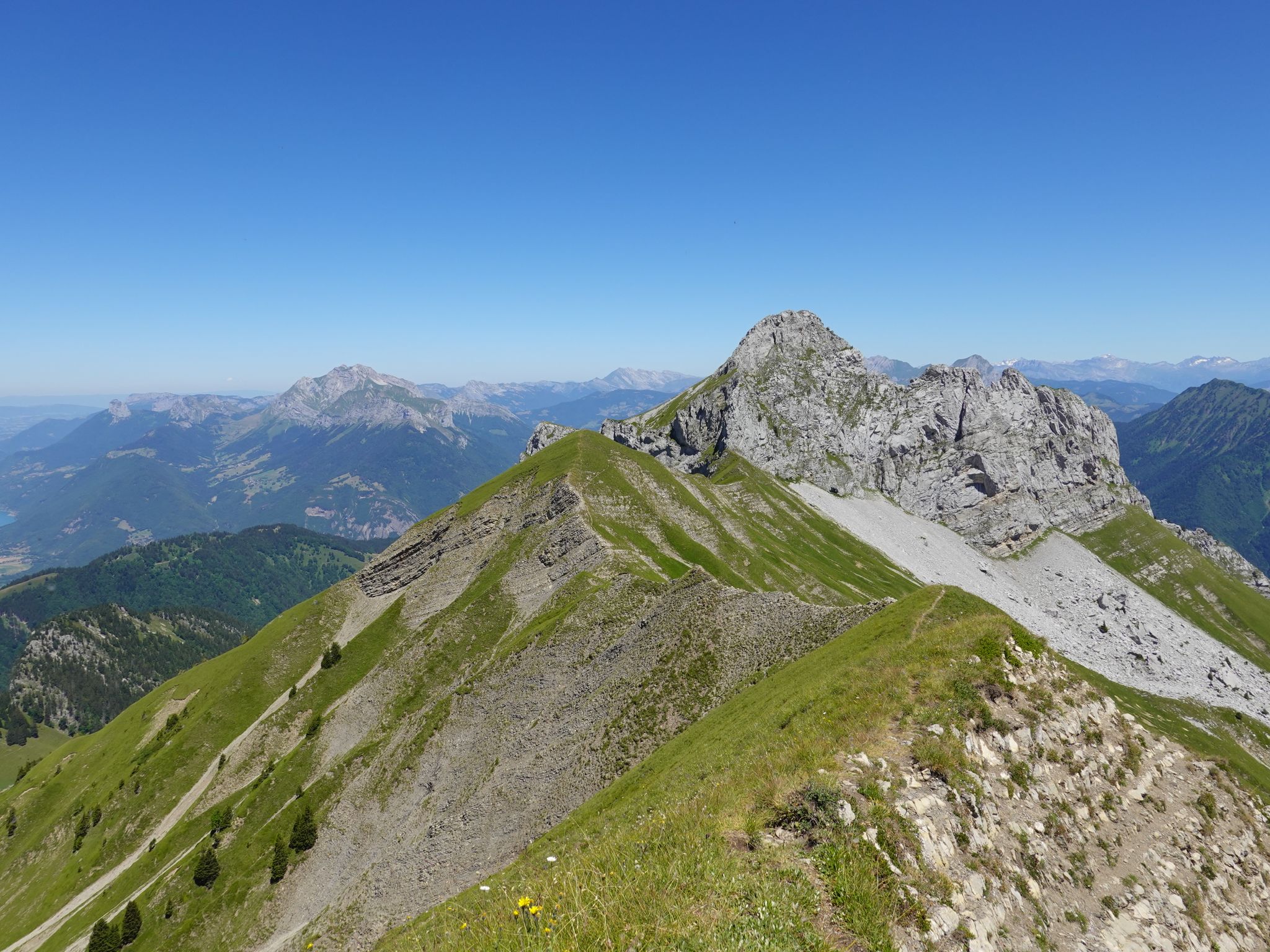
Magnificent tapered ridge with stunning views
0
0
Frequently Asked Questions
How many bus-accessible hiking trails are available in Forêt Départementale de Tamié?
There are over 40 hiking routes in Forêt Départementale de Tamié that are accessible from bus stations, offering a wide range of experiences for all skill levels. This includes 11 easy, 23 moderate, and 9 difficult trails.
Are there any easy, family-friendly hikes accessible by bus in the Forêt Départementale de Tamié?
Yes, the area offers several easy and family-friendly options. While specific bus-accessible family routes are best explored on komoot, the 'Boucle du Fort de Tamié' is generally considered family-friendly and offers superb views of Albertville. You can find routes starting near bus stops that lead to similar gentle paths.
What kind of views can I expect on bus-accessible hikes in Forêt Départementale de Tamié?
Many trails offer stunning panoramic views. You can expect vistas of Lake Annecy, the majestic Mont Blanc, and the rugged Aravis mountains. For example, the route View of Mont Blanc – Chalet de la Bouchasse loop from Seythenex provides excellent opportunities to see Mont Blanc.
Can I find circular hiking routes from bus stations in Forêt Départementale de Tamié?
Yes, many of the bus-accessible routes in Forêt Départementale de Tamié are designed as circular loops, allowing you to start and end your hike at the same bus stop without needing to arrange return transport. An example of a moderate circular route is La Sambuy Base Station – Refreshment loop from Seythenex.
Are there any specific bus routes that serve popular trailheads in Forêt Départementale de Tamié?
Bus routes from nearby towns like Albertville and Faverges often serve key access points and trailheads within or near the Forêt Départementale de Tamié, including stops close to the Col de Tamié and Seythenex. It's advisable to check the current Arlysère bus lines schedule for the most up-to-date information on routes and timings to plan your hike.
What interesting landmarks or attractions can I visit near bus-accessible trails?
The region is rich in attractions. You can visit the historic Abbaye Notre-Dame de Tamié, a Cistercian monastery known for its cheese, or explore the 19th-century Fort de Tamié, which offers walking trails, picnic areas, and breathtaking views. The fort also hosts a Parc Accrobranche (Adventure Park) for more active fun.
Are dogs allowed on the hiking trails in Forêt Départementale de Tamié when accessed by bus?
Generally, dogs are permitted on trails in Forêt Départementale de Tamié, but it's crucial to keep them on a leash, especially in protected areas or near livestock. Always check local signage for specific restrictions, particularly within the Massif des Bauges Regional Natural Park, to ensure a pleasant experience for everyone.
What is the best time of year to hike in Forêt Départementale de Tamié using public transport?
Spring, summer, and early autumn (May to October) generally offer the best conditions for hiking, with pleasant temperatures and full bus service. During winter, some higher-altitude trails may be inaccessible due to snow, and bus schedules might be reduced, so always check conditions and transport timetables in advance.
Are there any trails that feature waterfalls in Forêt Départementale de Tamié, accessible by bus?
Yes, the region is known for its natural features, including the 'Waterfall of the Massif des Bauges.' While specific bus-accessible routes directly to the waterfall are not listed here, you can often find moderate and easily accessible routes that allow hikers to experience this local waterfall. Check komoot for routes tagged with waterfalls near bus stops.
What do other hikers say about their experience on trails in Forêt Départementale de Tamié?
The area is highly rated by the komoot community, with an average score of 4.4 stars from over 580 ratings. Reviewers often praise the diverse landscapes, from shaded forest paths to panoramic viewpoints, and the well-maintained trails that cater to various fitness levels.
Are there any challenging bus-accessible hikes for experienced hikers?
Absolutely. For experienced hikers seeking a challenge, routes like La Sambuy Base Station – Summit of Petite Sambuy loop from Seythenex offer significant elevation gain and require good fitness and alpine experience. Another difficult option is Col d'Orgeval – Chaurionde Peak loop from Seythenex, providing magnificent 360° views.
Most popular routes around Forêt Départementale de Tamié

Get inspired with the komoot mobile app


Explore more
Browse the best Hikes in other regions.
