The best mountain hikes around Forêt Départementale de Tamié
4.3
(7)
84
hikers
9
hikes
Mountaineering routes around Forêt Départementale de Tamié are situated within the Massif des Bauges Regional Nature Park, offering an authentic mountain experience at an altitude of 900 meters. The region is characterized by thick forests, limestone rock formations, and diverse mountain valleys. This area provides varied terrain for mountaineering, ranging from challenging ascents to routes traversing mountain pastures.
Best mountaineering routes around Forêt Départementale de Tamié
- The most popular mountaineering route is Croix Perillet and Chevron loop from Plancherine,…
Last updated: July 11, 2026
5.0
(1)
8
hikers
6.05km
03:44
690m
690m
Moderate mountaineering route. Good fitness required. Mostly accessible paths. Sure-footedness required.
5.0
(1)
3
hikers
8.36km
04:17
700m
710m
Hard mountaineering route. Good fitness required. Sure-footedness, sturdy shoes and alpine experience required.

Sign up for free
3.0
(1)
32
hikers
10.0km
04:34
890m
890m
Moderate mountaineering route. Good fitness required. Mostly accessible paths. Sure-footedness required.
10
hikers
12.3km
05:20
990m
990m
Hard mountaineering route. Very good fitness required. Sure-footedness, sturdy shoes and alpine experience required.
3
hikers
16.0km
07:07
1,190m
1,190m
Hard mountaineering route. Very good fitness required. Mostly accessible paths. Sure-footedness required.
Get access to more routes and recommendations from other explorers.
Sign up for free
Already have an account?
Our route recommendations are based on thousands of hikes, rides, and runs completed by other people on komoot.
Start today with a free account
Your next adventure awaits.
Login or Signup
Popular around Forêt Départementale de Tamié
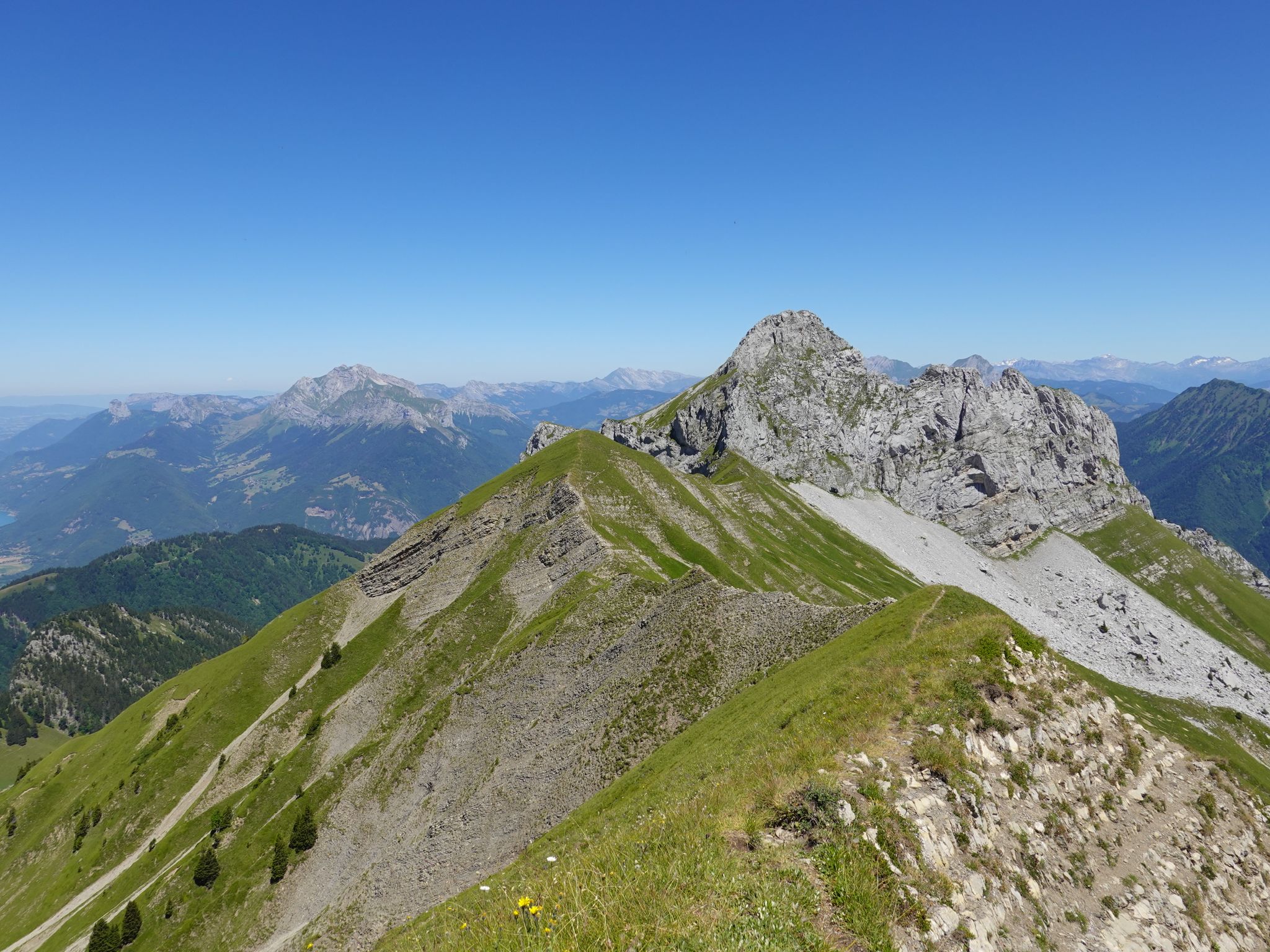
Running the peaks — reach the summits of the Bauges 2000ers
Road Cycling Routes around Forêt Départementale de Tamié
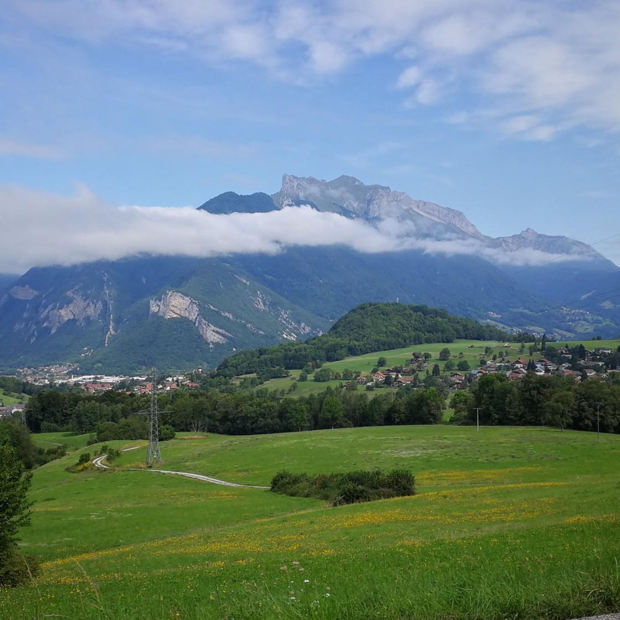
Hiking around Forêt Départementale de Tamié
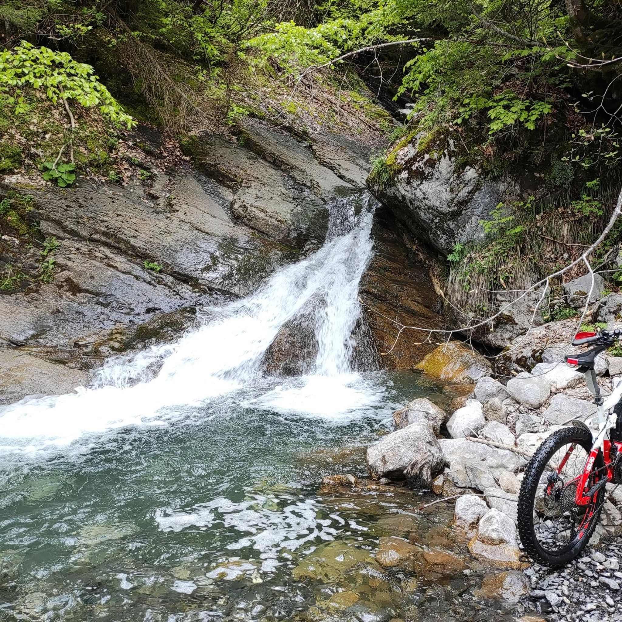
MTB Trails around Forêt Départementale de Tamié
Running Trails around Forêt Départementale de Tamié
Cycling around Forêt Départementale de Tamié

Gravel biking around Forêt Départementale de Tamié
Other adventures around Forêt Départementale de Tamié

Tips from the Community

Amazing views on mount blanc, lac d’ annecy and more beautiful landscape! 😍 Attention, only take the path across the ridge to the chalet de L’Alpettaz if you are a really experienced hiker and like to get some adrenaline. It is super narrow and partly really dangerous. After finishing the dangerous part there is high grass through which the hike continues.
1
0

Located on the heights of Lake Annecy, this family-friendly resort is open winter and summer. Among the sports facilities are cycling trails that lead to discovering local heritage and expertise.
0
0

Hello, point 1 is not the Col d'Orgeval, but under Chaurionde. It would have been wise to mention the Aulp de Seythenex as point 1, as 2 under Chaurionde and so on....
0
0

As you climb the challenging trail to the top of Petite Sambuy, you’ll be rewarded with breathtaking panoramic views across the Tarentaise Valley. This iconic peak, nestled in the heart of the magnificent French Alps, offers a truly awe-inspiring experience. From the summit, you’ll be able to admire the snow-capped mountains, picturesque villages and winding rivers that characterise the region.
0
0

Chalet under renovation but part of it nevertheless provides shelter.
0
0
Access is quite physical but you are largely rewarded by the sumptuous 360° landscapes once at the top 🤩
1
0

Super comfortable and possibility to meet the shepherd
0
0

the water is not directly accessible in the chalet but a river below allows you to refuel! Very nice well maintained refuge! (info from 20/05/2023)
0
0
Frequently Asked Questions
How many mountaineering routes are available in Forêt Départementale de Tamié?
There are over 10 distinct mountaineering routes in Forêt Départementale de Tamié, offering a variety of experiences within the Massif des Bauges Regional Nature Park.
Are there any moderate mountaineering routes suitable for those with some experience?
Yes, Forêt Départementale de Tamié offers several moderate routes. For example, the Mountain Cow loop from Seythenex is a 9.7 km path that traverses mountain pastures, providing beautiful views. Another good option is the Col d'Orgeval loop from Réserve biologique intégrale du Haut Chéran, which is about 10.7 km long.
What are some challenging mountaineering routes for experienced climbers?
For experienced mountaineers seeking a challenge, the region has several difficult routes. The Pointe de l'Arcalod – Orgeval Pass loop from Seythenex is a demanding 15.8 km trail through high-alpine sections. Another difficult option is the Croix Perillet and Chevron loop from Plancherine, which offers challenging ascents through varied forest and ridge terrain over 8.3 km.
Are there any circular mountaineering routes in the area?
Many of the mountaineering routes in Forêt Départementale de Tamié are designed as loops, allowing you to start and end at the same point. Examples include the Mountain Cow loop from Seythenex and the Dent of Cons – Alpettaz Pass loop from Fort de la batterie Marthod.
What points of interest can I explore near the mountaineering routes?
Beyond the trails, the region offers several cultural and natural attractions. You can visit the historic Fort de Tamié, which provides panoramic viewpoints of Mont Blanc, or the 12th-century Abbaye Notre-Dame de Tamié, known for its local cheese production. The Waterfall of the Massif des Bauges is also a notable natural feature in the area.
Is Forêt Départementale de Tamié suitable for family-friendly outdoor activities?
While many mountaineering routes are challenging, the broader Forêt Départementale de Tamié area offers family-friendly options. The Fort de Tamié hosts an 'Acrofort' adventure park with zip-lines and via ferrata sections, providing a different kind of outdoor experience. There are also easier hiking trails and signposted botanical paths suitable for families within the Massif des Bauges Regional Nature Park.
What is the best time of year for mountaineering in Forêt Départementale de Tamié?
The best time for mountaineering typically spans from late spring to early autumn (May to October) when the weather is generally more stable and trails are clear of snow. During winter, the area transforms, offering opportunities for cross-country skiing and snowshoeing, but mountaineering conditions can be more demanding and require specialized gear and experience.
Are there any specific permits required for mountaineering in this region?
Generally, no specific permits are required for hiking or mountaineering on the established trails within the Massif des Bauges Regional Nature Park. However, it's always advisable to check local regulations, especially if you plan to venture into protected or sensitive areas, or if you are considering rock climbing in designated spots like Col de Tamié.
What do other mountaineers say about the routes in Forêt Départementale de Tamié?
The mountaineering routes in Forêt Départementale de Tamié are highly regarded by the komoot community, with an average score of 4.5 stars. Reviewers often praise the authentic mountain experience, the tranquility of the unspoiled nature, and the diverse terrain ranging from thick forests to high-alpine sections.
Where can I find parking for the mountaineering trailheads?
Parking is generally available at or near the trailheads for many routes. For example, routes starting from Plancherine or Seythenex typically have designated parking areas. For specific routes, it's recommended to check the individual tour details on komoot for precise parking information.
Can I reach Forêt Départementale de Tamié using public transport?
While the region is nestled in a natural park, public transport options might be limited directly to all trailheads. Major towns like Albertville or Annecy, which are close to the Massif des Bauges, are accessible by public transport. From there, local bus services or taxis might be available to reach some of the more accessible starting points for trails.
Are there opportunities to see wildlife while mountaineering?
Being located within the Massif des Bauges Regional Nature Park, Forêt Départementale de Tamié offers good opportunities for wildlife observation. The diverse landscape of thick forests and mountain pastures is home to various species. Keep an eye out for local fauna, but remember to maintain a respectful distance and avoid disturbing their natural habitat.
Most popular routes around Forêt Départementale de Tamié

Get inspired with the komoot mobile app


Explore more
Browse the best Mountain Hikes & Routes in other regions.
