Pumpspeicherkraftwerk Mapragg
Pumpspeicherkraftwerk Mapragg
The best traffic-free bike rides around Pumpspeicherkraftwerk Mapragg
4.6
(864)
11,771
riders
122
rides
No traffic touring cycling routes around Pumpspeicherkraftwerk Mapragg are set within a diverse landscape characterized by the Mapraggsee (Mapragg Reservoir) and the surrounding Taminatal valley. The region features varied terrain, including forest sections and meadow paths, with elevations that offer different levels of challenge. This area is part of a larger watershed, providing a mix of natural features suitable for touring cyclists.
Best no traffic touring cycling routes around Pumpspeicherkraftwerk Mapragg
- The most popular no traffic touring cycling route is…
Last updated: July 12, 2026
6
riders
23.2km
02:15
930m
930m
Hard bike ride. Very good fitness required. Mostly paved surfaces. Suitable for all skill levels.
5.0
(1)
16
riders
22.2km
01:41
510m
510m
Hard bike ride. Very good fitness required. Mostly paved surfaces. Suitable for all skill levels.

Sign up for free
8
riders
12.6km
01:06
450m
450m
Hard bike ride. Very good fitness required. Mostly paved surfaces. Suitable for all skill levels.
5.0
(1)
81
riders
59.5km
05:03
1,950m
1,950m
Hard bike ride. Very good fitness required. Mostly paved surfaces. Suitable for all skill levels.
51
riders
24.8km
01:51
500m
500m
Hard bike ride. Very good fitness required. Mostly paved surfaces. Suitable for all skill levels.
Get access to more routes and recommendations from other explorers.
Sign up for free
Already have an account?
Our route recommendations are based on thousands of hikes, rides, and runs completed by other people on komoot.
Start today with a free account
Your next adventure awaits.
Login or Signup
Popular around Pumpspeicherkraftwerk Mapragg
Tips from the Community

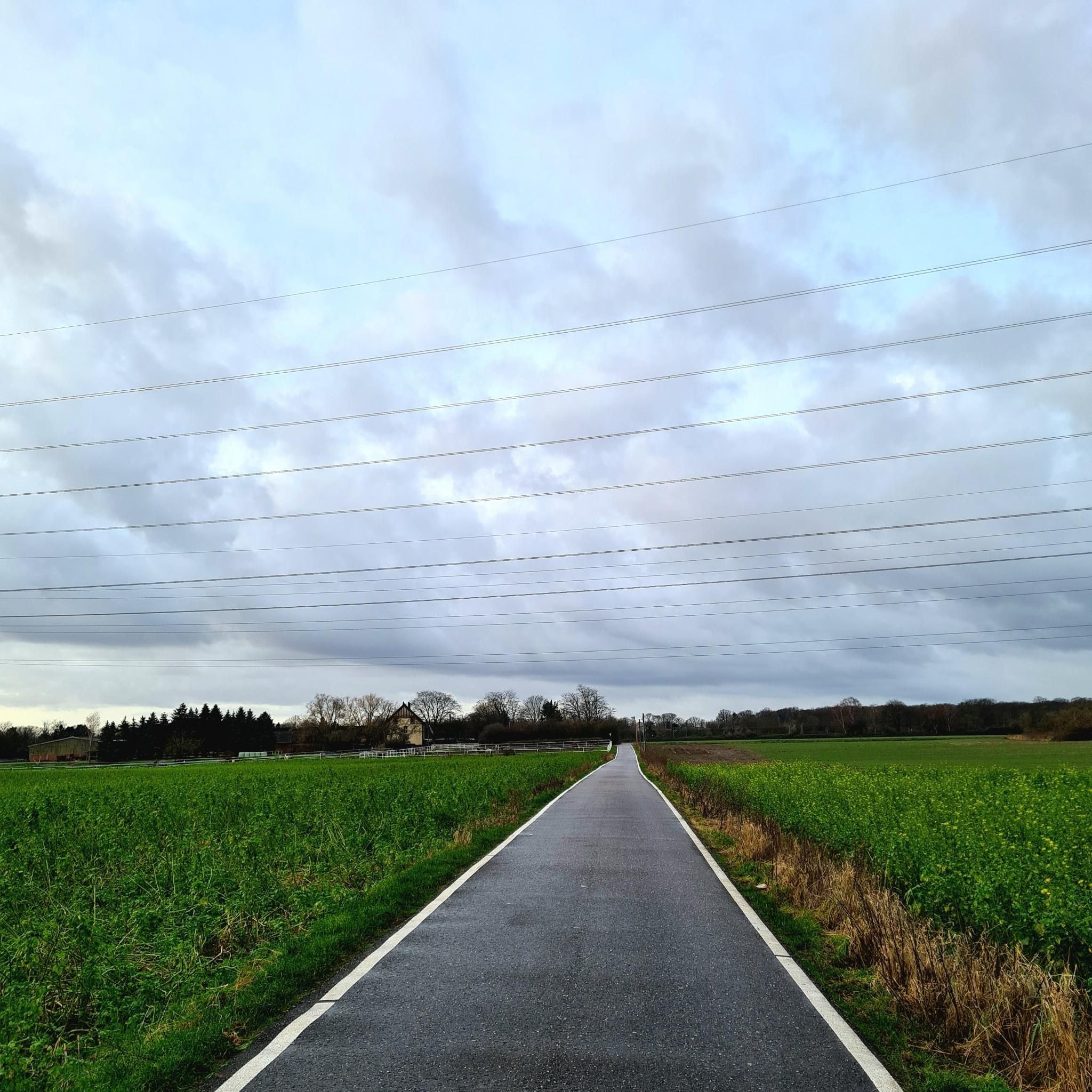
Traffic-free road from here to Bad Ragaz, great cycling route
0
0

There's no car traffic on this road. There's still an incline.
0
0

A place of power in a special class
0
0

Ruinaulta Rhine Gorge The Ruinaulta, or Rhine Gorge, is a gorge of the Vorderrhein River, up to 400 meters deep and approximately 13 kilometers long, between Ilanz and the mouth of the Hinterrhein River near Reichenau in the canton of Graubünden in Switzerland. The Romansh name 'Ruinaulta' is composed of the two words ruina (scree slope, quarry) and aulta (high). The Ruinaulta was formed after the Flims Landslide almost 10,000 years ago. At that time, over 10 billion cubic meters of rock broke off between the Flimserstein and Piz Grisch, burying the Vorderrhein Valley between the present-day villages of Castrisch and Reichenau under a mass of debris several hundred meters thick. Because the Vorderrhein River could no longer drain away, a lake was dammed over a length of approximately 25 kilometers. Over time, the river cut deep into the landslide, and the resulting lake drained away completely. What remained was the Ruinaulta, with its steep limestone scree cliffs in impressive erosion formations. Text / Source: Wikipedia https://de.wikipedia.org/wiki/Ruinaulta
16
0
Confluence of the Vorderrhein and Hinterrhein, Reichenau Dominated by Reichenau Castle, the hamlet lies at the confluence of the Vorderrhein and Hinterrhein rivers, making it virtually the birthplace of the Rhine. It all began 10,000 years ago. Between the Flimserstein (a high plateau) and Piz Grisch, over 10,000 cubic meters of rock broke off and thundered down into the valley. Towards Reichenau, the Vorderrhein valley disappears under a gigantic mass of rubble. From there, the Rhine diligently ate its way through the rock, creating the spectacular Swiss "Grand Canyon" – the Ruinaulta. Text / Source: myswitzerland.com https://www.myswitzerland.com/de-ch/erlebnisse/route/vom-zusammenfluss-der-rheine-in-die-rheinschlucht/
16
0

Interesting illustrations about electricity generation. As someone from the lowlands, I was a bit surprised that I suddenly found myself in the canton of St. Gallen.
1
0

very nice on sunny days
0
0

A very tranquil village with historic houses. Tamins and the district of Reichenau are located at the confluence of the Vorderrhein and Hinterrhein
1
0
Frequently Asked Questions
How many no-traffic touring cycling routes are available around Pumpspeicherkraftwerk Mapragg?
There are over 120 dedicated touring cycling routes around Pumpspeicherkraftwerk Mapragg, with a significant portion designed to minimize traffic exposure. These routes offer diverse experiences, from easy spins to challenging climbs, ensuring options for various skill levels.
What do other touring cyclists enjoy most about the routes near Pumpspeicherkraftwerk Mapragg?
The area is highly rated by the komoot community, with an average score of 4.6 stars from over 750 reviews. Cyclists frequently praise the 'super beautiful views,' the 'wonderful peace and quiet' found on many paths, and the diverse landscapes that include forest sections and open meadow paths.
Are there any easy, no-traffic touring bike trails suitable for beginners or families?
Yes, there are 33 easy touring cycling routes in the region. While specific 'no-traffic' designations vary, many paths along the reservoir and through forest sections offer a peaceful experience. For a moderate option, consider the Valens Old Sawmill Museum – Tamina Bridge loop from Valens, which is 12.4 km long and offers manageable elevation.
What kind of terrain can I expect on these no-traffic touring routes?
The terrain around Pumpspeicherkraftwerk Mapragg is varied. You can expect a mix of forest sections, open meadow paths, and some paved roads with minimal traffic. While many paths are easily accessible, some routes may feature steep but manageable climbs, offering diverse challenges and rewarding views.
Are there any circular no-traffic touring bike routes?
Yes, many routes in the area are designed as loops, allowing you to start and end at the same point. A notable option is the Mapragg Reservoir – Mapragg Reservoir / Power Plant loop from Taminatal, which is a challenging 23.2 km ride offering scenic views around the reservoir.
What are some scenic viewpoints or attractions along the no-traffic routes?
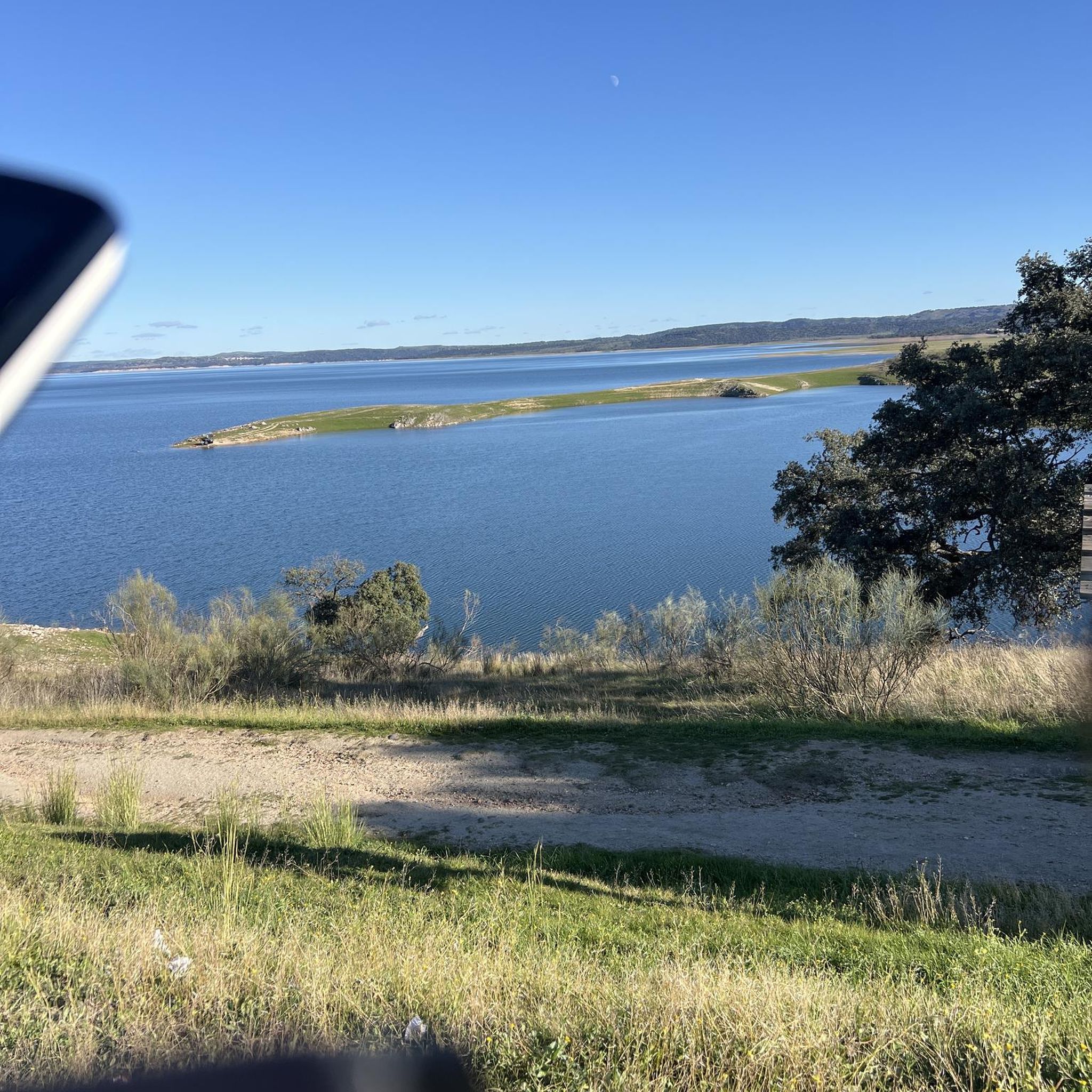
The region is rich in natural beauty. The Mapraggsee (Mapragg Reservoir) itself is a central attraction, offering picturesque surroundings. Elevated points like the Vättnerberg and Muntaluna provide 'gigantic' prospects. You can also find information boards near the Mapragg power station, offering insights into the hydroelectric system. The Grot viewpoint also offers beautiful views over technically easy meadow paths and forest sections.
What is the best time of year to go touring cycling around Pumpspeicherkraftwerk Mapragg?
The best time to visit for touring cycling is generally from spring through autumn. During these seasons, the weather is more favorable, and the natural landscapes are at their most vibrant. Always check local weather conditions before heading out, especially for higher elevation routes.
Are there any longer, more challenging no-traffic touring routes for experienced cyclists?
Absolutely. For experienced cyclists seeking a challenge, routes like the Kunkel Pass – Kunkels Pass Tunnel loop from Vättis offer a significant distance of nearly 60 km and substantial elevation gain, providing a demanding yet rewarding experience through varied terrain.
How can I find less crowded no-traffic bike trails?
While the entire region offers a sense of peace and quiet, exploring routes further into the Taminatal, Calfeisental, and Weisstannental valleys can lead to even more secluded experiences. Early mornings or weekdays are generally the best times to find quieter paths, especially around popular spots like the Mapraggsee.
Is there parking available near the starting points of these no-traffic touring routes?
Yes, parking is generally available in the villages and towns surrounding Pumpspeicherkraftwerk Mapragg, such as Valens or Vättis, which serve as common starting points for many routes. Specific parking information can often be found on individual route descriptions on komoot.
Can I reach the no-traffic bike trails using public transport?
The region around Pumpspeicherkraftwerk Mapragg is accessible by public transport, particularly to towns like Bad Ragaz or Valens. From these points, you can often connect to the start of various touring cycling routes. It's advisable to check local bus schedules and bike transport options beforehand.
Most popular routes around Pumpspeicherkraftwerk Mapragg

Get inspired with the komoot mobile app


Explore more
Browse the best Cycling routes in other regions.
