The best walks and hikes around Pumpspeicherkraftwerk Mapragg
4.6
(2846)
21,932
hikers
437
hikes
Hiking around Pumpspeicherkraftwerk Mapragg offers diverse trails through natural landscapes in Sarganserland, Switzerland. The region features the Mapragg reservoir, which is central to the area's visual and functional identity. Hikers can expect routes traversing meadows and forest sections, with options ranging from easy strolls to challenging alpine ascents. The terrain includes varied elevation gains, leading to viewpoints and summits.
Best hiking trails around Pumpspeicherkraftwerk Mapragg
- The most popular hiking route is Mapraggsee – Mapragg Reservoir / Power Plant loop from…
Last updated: June 28, 2026
4.4
(5)
15
hikers
Hard hike. Good fitness required. Sure-footedness, sturdy shoes and alpine experience required.
3.0
(1)
7
hikers
6.70km
01:48
80m
80m
Easy hike. Great for any fitness level. Easily-accessible paths. Suitable for all skill levels.

Sign up for free
5.0
(3)
40
hikers
12.7km
05:19
810m
810m
Hard hike. Very good fitness required. Mostly accessible paths. Sure-footedness required.
5.0
(1)
6
hikers
Moderate hike. Good fitness required. Mostly accessible paths. Sure-footedness required.
6
hikers
3.55km
01:04
120m
120m
Easy hike. Great for any fitness level. Easily-accessible paths. Suitable for all skill levels.
Get access to more routes and recommendations from other explorers.
Sign up for free
Already have an account?
Our route recommendations are based on thousands of hikes, rides, and runs completed by other people on komoot.
Start today with a free account
Your next adventure awaits.
Login or Signup
Popular around Pumpspeicherkraftwerk Mapragg

Tips from the Community

Grot viewpoint. Up to this point, the Alpine road is a dead end; if you want, you can continue on an S2 trail to the Chemispitz.
1
0

Great short trail along the stream. Rooty and rocky, but rideable. Better going down than going up... :-)
0
0
Interesting illustrations about electricity generation. As someone from the lowlands, I was a bit surprised that I suddenly found myself in the canton of St. Gallen.
1
0

Findelsalp - I can recommend it, nice hosts, great offer, great view, lovingly prepared places to enjoy, perfect for a break after the climb. 07/2024
0
0
Right at the beginning of the tour from Mapragg reservoir there is a steep but easily manageable climb.
1
0

Nice detour around the main road. Please be considerate of hikers (make yourself known, stop, move out of the way)! Thick tires are an advantage
0
0

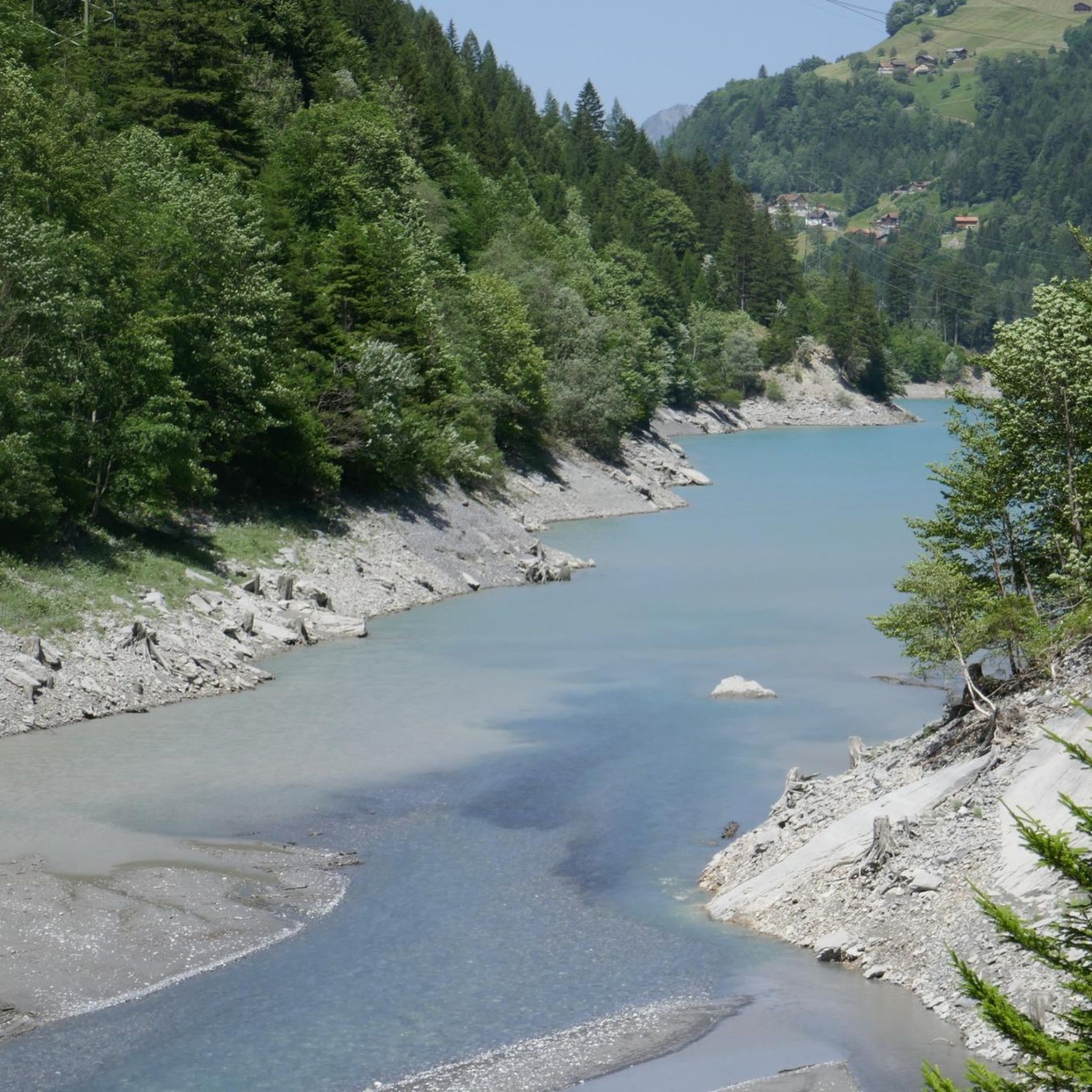
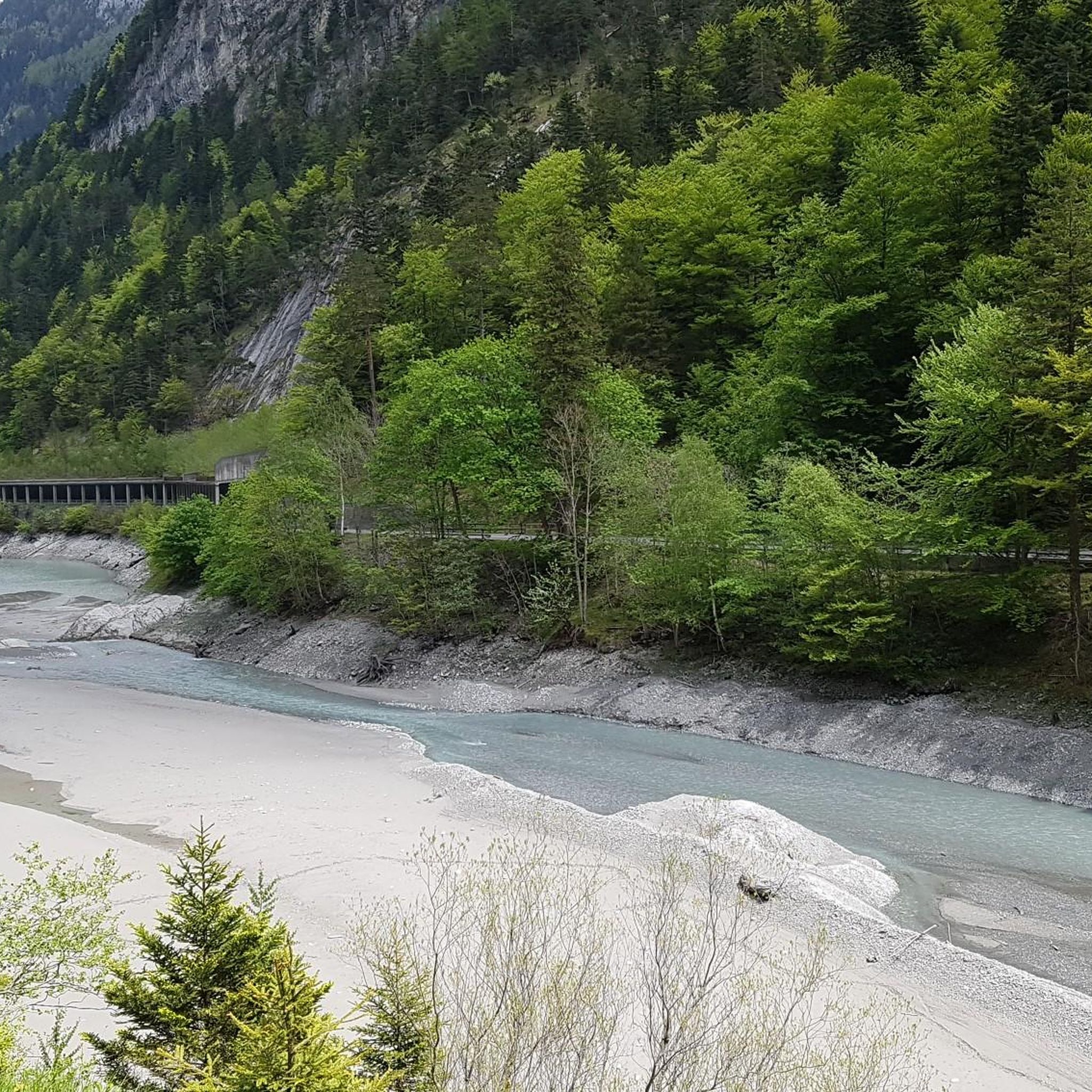
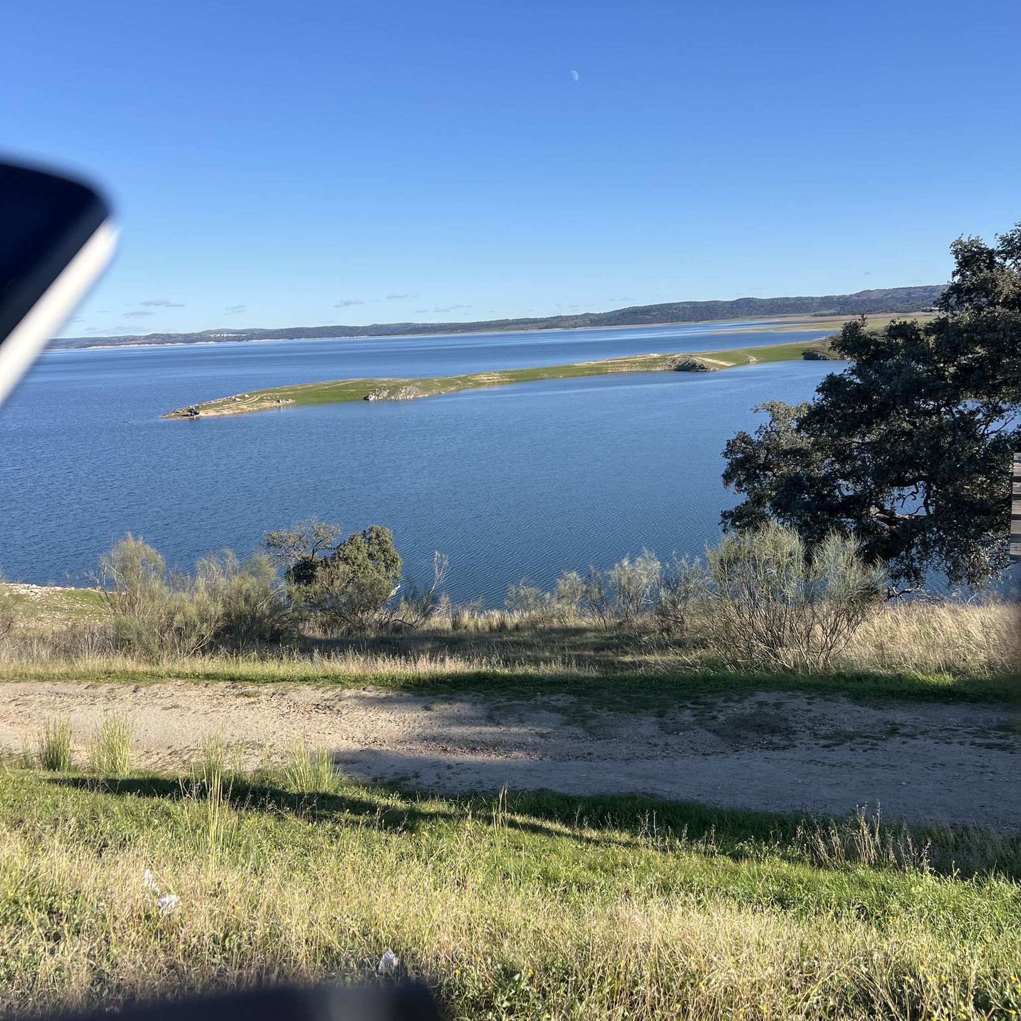
Mapraggsee The Mapraggsee is located in the Tamina valley at an altitude of 865 meters above sea level. Located in the St. Gallen municipality of Pfäfers, the Mapragg reservoir is operated by the Sarganserwald power plants, just like the Gigerwaldsee upstream. In addition to the Tamina, which also flows out of the reservoir, the Mapraggsee is fed by the Bschissnenbach, the Läuibach and various other streams. The Mapragg reservoir is located in the middle between the villages of Vättis and Pfäfers. This stretch is also covered by a post bus service. On the east side of the Mapraggsee, a road runs slightly above the shore. Text / Source: schweizersee.ch https://www.schweizersee.ch/mapraggsee/
10
2

Frequently Asked Questions
How many hiking trails are available around Pumpspeicherkraftwerk Mapragg?
There are over 440 hiking trails in the Pumpspeicherkraftwerk Mapragg area. These routes cater to all levels, with a good mix of easy, moderate, and difficult options to explore the diverse landscapes.
Are there any easy circular hikes suitable for families around Pumpspeicherkraftwerk Mapragg?
Yes, for an easy and family-friendly circular route, consider the Mapraggsee – Mapragg Reservoir / Power Plant loop from Taminatal. This trail is 6.7 km long with minimal elevation gain, making it suitable for most abilities and offering pleasant views of the reservoir.
What kind of landscapes can I expect to see while hiking in this region?
The region around Pumpspeicherkraftwerk Mapragg is characterized by picturesque natural beauty. Hikers will experience wonderful views across meadows and forest sections, with paths leading through varied terrain. The area also offers stunning prospects of the Mapragg reservoir and surrounding alpine scenery.
Are there any challenging hikes for experienced trekkers?
Absolutely. For experienced hikers seeking a challenge, the Steep and strenuous ascent – Findels Alp - good rest spot loop from Taminatal is a demanding 11.8 km route with significant elevation gain. It requires good fitness, sure-footedness, and sturdy footwear.
What are the best viewpoints or scenic spots in the Pumpspeicherkraftwerk Mapragg area?
The Muntaluna Summit, accessible via routes like the Findels Alp - good rest spot – Muntaluna Summit loop from Alp Findels, is particularly highlighted for its gigantic prospects and sense of peace. Additionally, the Grot path, part of the Scenic meadow near Alp Maton – Viewpoint on the Grot loop from Abzweigung Bläs, offers numerous vantage points with super beautiful views through meadows and forests.
What do other hikers enjoy most about the trails around Pumpspeicherkraftwerk Mapragg?
The trails in Pumpspeicherkraftwerk Mapragg are highly rated by the komoot community, with an average score of 4.6 stars from over 2,700 reviews. Hikers often praise the diverse terrain, from easy reservoir loops to challenging alpine ascents, and the stunning natural beauty of the meadows, forests, and reservoir views.
Can I bring my dog on the hiking trails?
Many trails in the Pumpspeicherkraftwerk Mapragg region are dog-friendly, allowing you to enjoy the natural surroundings with your canine companion. It's always recommended to keep dogs on a leash and be mindful of local regulations and wildlife.
What is the best season to hike around Pumpspeicherkraftwerk Mapragg?
The hiking season typically runs from spring through autumn, offering the most favorable weather conditions for exploring the diverse trails. While some lower elevation paths might be accessible in winter, higher alpine routes can be challenging due to snow and ice, requiring specialized equipment and experience.
Are there any trails that offer a sense of peace and quiet, away from crowds?
For those seeking tranquility, routes leading to higher elevations or less frequented paths often provide a greater sense of peace and quiet. The Muntaluna Summit, for example, is noted for its serene atmosphere, with paths through simple meadow terrain that are generally less crowded than the more popular reservoir loops.
What is the Mapraggsee and how does it relate to the hiking experience?
The Mapraggsee (Mapragg reservoir) is a central feature of the region, spanning 26 hectares and integral to the local pumped-storage hydroelectricity operations. It serves as a significant visual landmark, and many popular hiking trails, such as the Mapraggsee – Mapragg Reservoir / Power Plant loop from Taminatal, offer scenic views directly alongside or around the reservoir.
Are there any shorter, easier walks for a quick outing?
Yes, for a shorter and easier outing, the Findels Alp - good rest spot loop from Vättnerberg Bergstation is a good option. At 3.5 km, it's an easy route with moderate elevation gain, perfect for a quick stroll to enjoy the scenery.
Most popular routes around Pumpspeicherkraftwerk Mapragg

Get inspired with the komoot mobile app


Explore more
Browse the best Hikes in other regions.
