The best traffic-free bike rides around Lac des Quirlies
4.7
(61)
5,586
riders
3
rides
Road cycling around Lac des Quirlies, situated within the Oisans region of the French Alps, features challenging mountain passes and high-elevation routes. The landscape is characterized by dramatic, rugged terrain, glacial features, and panoramic views over valleys and massifs. While Lac des Quirlies itself is a glacial lake at 8,418 feet (2,566 meters) and not directly accessible by road bike, the surrounding area offers significant climbs and scenic no traffic road cycling routes. Cyclists can experience varying gradients and remote…
Last updated: July 12, 2026
5.0
(3)
353
riders
38.1km
02:41
1,310m
1,310m
Hard road ride. Very good fitness required. Mostly well-paved surfaces and easy to ride.
6
riders
15.1km
01:05
540m
540m
Moderate road ride. Good fitness required. Mostly well-paved surfaces and easy to ride.

Sign up for free
24
riders
11.5km
00:56
510m
510m
Moderate road ride. Good fitness required. Mostly well-paved surfaces and easy to ride.
Our route recommendations are based on thousands of hikes, rides, and runs completed by other people on komoot.
Start today with a free account
Your next adventure awaits.
Login or Signup
Popular around Lac des Quirlies
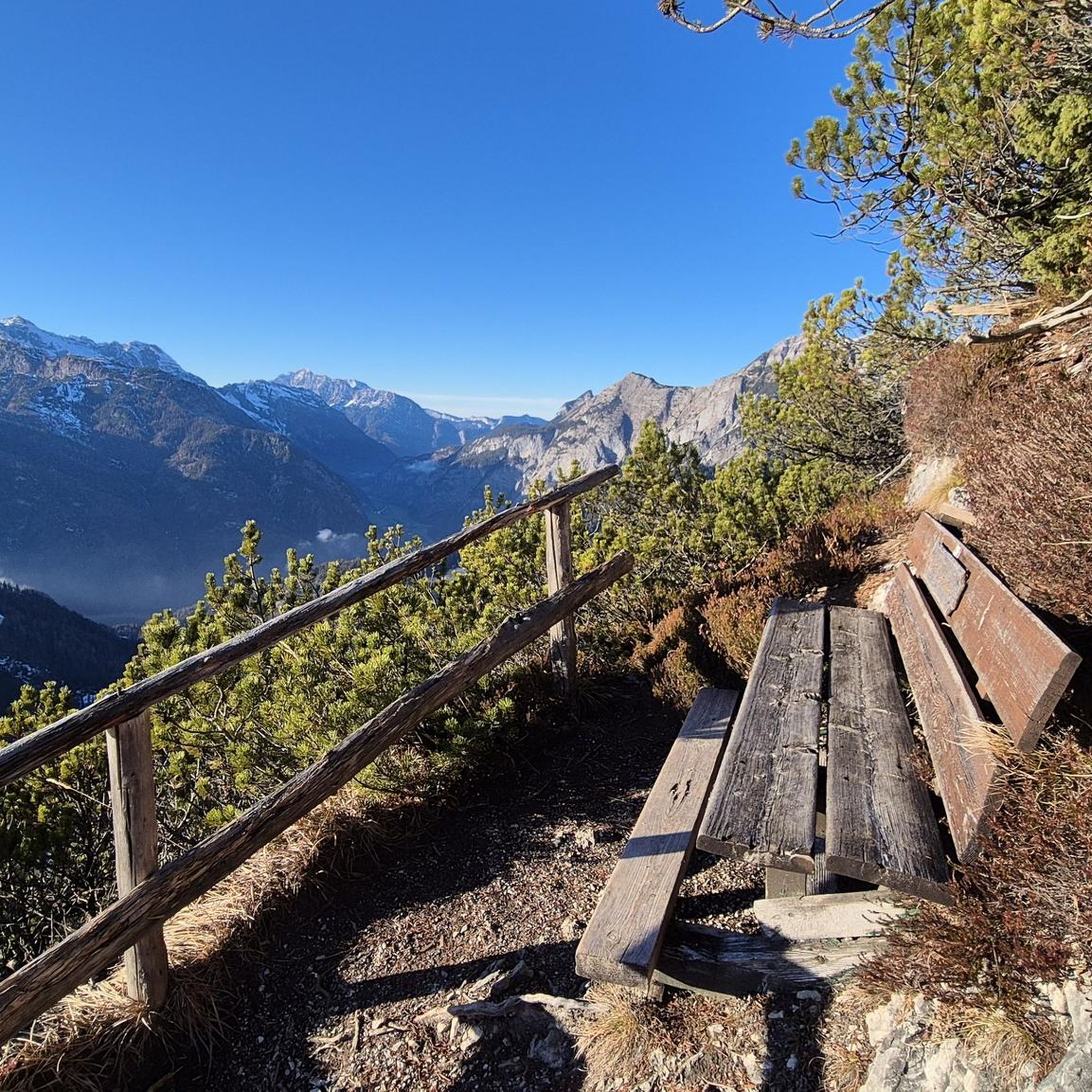
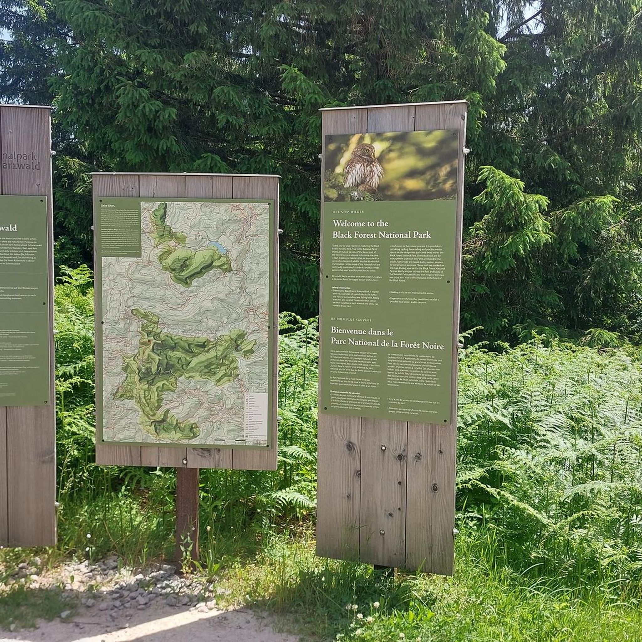
Tips from the Community

The village of Mizoen, located in the Isère department of France (Auvergne-Rhône-Alpes region), is a typical mountain settlement at the entrance to the Écrins National Park, near Le Bourg-d'Oisans. Its history is deeply linked to mountain agriculture, livestock farming, and, more recently, tourism development thanks to its proximity to the renowned Les Deux Alpes ski resort, offering a peaceful and panoramic setting overlooking Lake Chambon.
4
0

A village of about 150 people, Besse is a timeless beauty. Located in the Écrins National Park, it is the starting point for many hiking and mountain biking excursions and can be reached from the road between Col de Sarenna and Mizoen, a 3-kilometer road with an average gradient of 9%.
1
0
The most beautiful hill to climb in these areas.
12
0

There are no crowds here, just you, the mountain, the wind, and the sensation of pedaling on one of the remote peaks of the French Alps. The summit, at almost 2,000 meters, offers a 360° panorama that erases fatigue and ignites the cycling spirit.
4
0

A beautiful route, though challenging, with the last 4 kilometers reaching between 8.5 and 10%. The descent is on a rough road with many potholes. After 5 kilometers, it becomes easier again. A truly stunning route with little to no traffic and beautiful scenery.
0
0

An iconic climb ridden countless times in the Tour de France.
13
0
Frequently Asked Questions
How many no-traffic road cycling routes are available around Lac des Quirlies?
While Lac des Quirlies itself is not directly accessible by road bike, the surrounding Oisans region offers a selection of road cycling routes known for their stunning scenery and challenging climbs. Our guide features 5 routes that provide a taste of the area's unique cycling experience, focusing on less trafficked roads where possible.
What kind of terrain can I expect on the no-traffic road cycling routes near Lac des Quirlies?
You can expect challenging Alpine terrain with significant elevation gains. Routes like the approach to Col de Sarenne feature varying gradients, including steep sections. The landscape is dramatic and rugged, offering breathtaking views over the Romanche valley and surrounding massifs. Some sections may have rougher road surfaces, adding to the challenge.
Are there any family-friendly no-traffic road cycling options in the area?
The Oisans region, while renowned for its challenging mountain passes, does offer some less strenuous options. For example, the Col de Sarenne – Alpe d'Huez loop from Huez is rated as easy, making it potentially more suitable for families looking for a scenic ride without extreme difficulty. Always check the route details for elevation and distance to ensure it matches your family's capabilities.
What is the best time of year for no-traffic road cycling around Lac des Quirlies?
The best time for road cycling in the Oisans region, including routes near Lac des Quirlies, is typically during the warmer months, from late spring to early autumn (June to September). During this period, mountain passes are generally clear of snow, and the weather is more stable, offering ideal conditions for tackling the challenging climbs and enjoying the panoramic views.
What natural features or landmarks can I see along these routes?
While cycling, you'll be treated to magnificent panoramic views of the Arves and Écrins massifs. The journey towards the vicinity of Lac des Quirlies, such as the route through the Ferrand Valley, features impressive waterfalls, including those at Pont Ferrand. The landscape transitions from lush valleys to dramatic, rugged, and almost 'lunar' terrain at higher elevations.
Are there any circular no-traffic road cycling routes available?
Yes, several routes in the area are designed as loops. For instance, the Besse – Mizoën Village loop from Besse and the Vaujany – Saint-Étienne Church loop from Vaujany offer circular options, allowing you to start and finish in the same location while exploring different sections of the region's roads.
What do other road cyclists enjoy most about cycling in this region?
The area is highly rated by the komoot community, with an average score of 4.6 stars from over 100 ratings. Reviewers often praise the challenging climbs, the stunning and remote Alpine scenery, and the sense of accomplishment from tackling legendary passes like the Col de Sarenne. The quiet roads, especially on less-trafficked sections, are also frequently highlighted.
Where can I find parking for these no-traffic road cycling routes?
Parking is generally available in the villages and towns that serve as starting points for these routes. For example, you can typically find parking in Besse, Vaujany, or Huez, which are common access points for the listed routes. Always check local signage for specific parking regulations and availability.
Are there any cafes or places to stop for refreshments along the no-traffic routes?
While the routes themselves aim for less traffic, they often connect or pass through small Alpine villages where you can find cafes, bakeries, or small shops. Villages like Besse, Mizoën, Vaujany, and Huez offer opportunities for refreshments. It's always advisable to carry sufficient water and snacks, especially on longer or more remote sections.
Can I reach the starting points of these routes using public transport?
Access to the Oisans region is possible via public transport, primarily buses connecting from larger hubs like Grenoble to key villages such as Bourg d'Oisans. From Bourg d'Oisans, local bus services or cycling can take you to the starting points of various routes, including those around Vaujany or Huez. It's recommended to check current bus schedules and bike transport policies in advance.
What is the difficulty level of the no-traffic road cycling routes around Lac des Quirlies?
The routes featured in this guide are predominantly rated as 'moderate' in difficulty. This means they involve significant climbs and descents, requiring a good level of fitness and cycling experience. For example, the Tour de France finish line – Alpe d'Huez Finish Line loop from Huez is an easier option, but most routes will present a considerable challenge.
Most popular routes around Lac des Quirlies

Get inspired with the komoot mobile app


Explore more
Browse the best Road cycling routes in other regions.
