The best walks and hikes around Lac des Quirlies
4.5
(1024)
9,625
hikers
171
hikes
Hiking around Lac des Quirlies offers a high-mountain experience within the Grandes Rousses massif in the French Alps. The region is characterized by its distinctive milky-blue glacial lake, situated at an elevation of 2,566 meters (8,418 feet), and a dramatic, mineral landscape. Trails traverse the Ferrand valley, transitioning from green pastures to rugged, almost lunar terrain, and the area is recognized as a Natura 2000 classified site for its biodiversity.
Best hiking trails around Lac des Quirlies
- The most popular…
Last updated: July 9, 2026
4.9
(16)
209
hikers
14.7km
05:28
960m
960m
Hard hike. Very good fitness required. Easily-accessible paths. Suitable for all skill levels.
4.8
(5)
43
hikers
3.43km
01:01
100m
110m
Easy hike. Great for any fitness level. Easily-accessible paths. Suitable for all skill levels.

Sign up for free
9
hikers
7.81km
02:44
420m
420m
Moderate hike. Good fitness required. Easily-accessible paths. Suitable for all skill levels.
5.0
(2)
19
hikers
Easy hike. Great for any fitness level. Easily-accessible paths. Suitable for all skill levels.
5.0
(3)
16
hikers
3.19km
01:08
190m
190m
Easy hike. Great for any fitness level. Easily-accessible paths. Suitable for all skill levels.
Get access to more routes and recommendations from other explorers.
Sign up for free
Already have an account?
Our route recommendations are based on thousands of hikes, rides, and runs completed by other people on komoot.
Start today with a free account
Your next adventure awaits.
Login or Signup
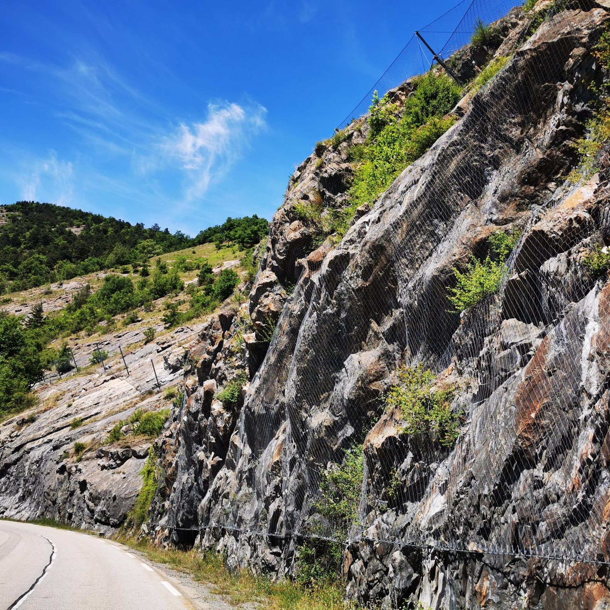
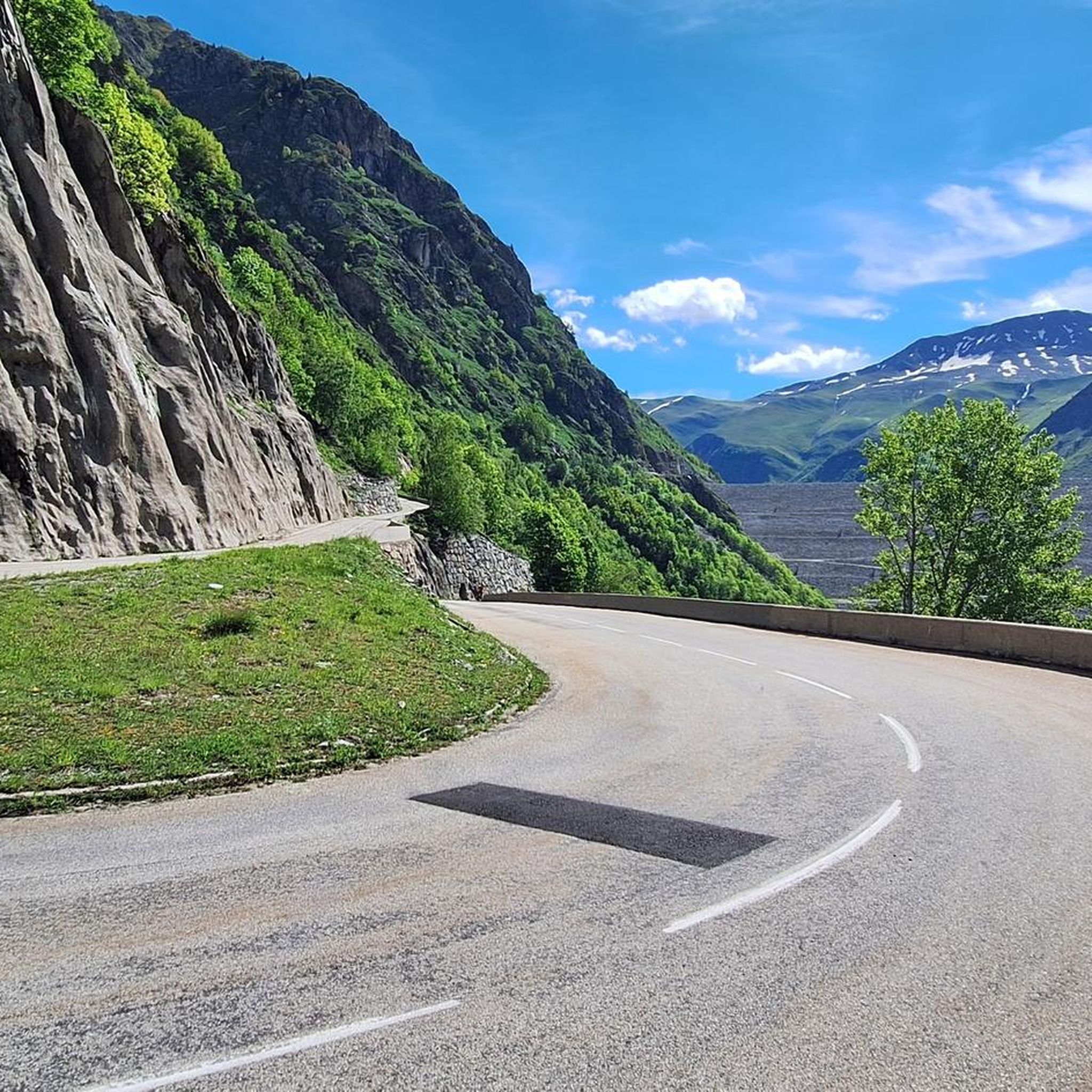
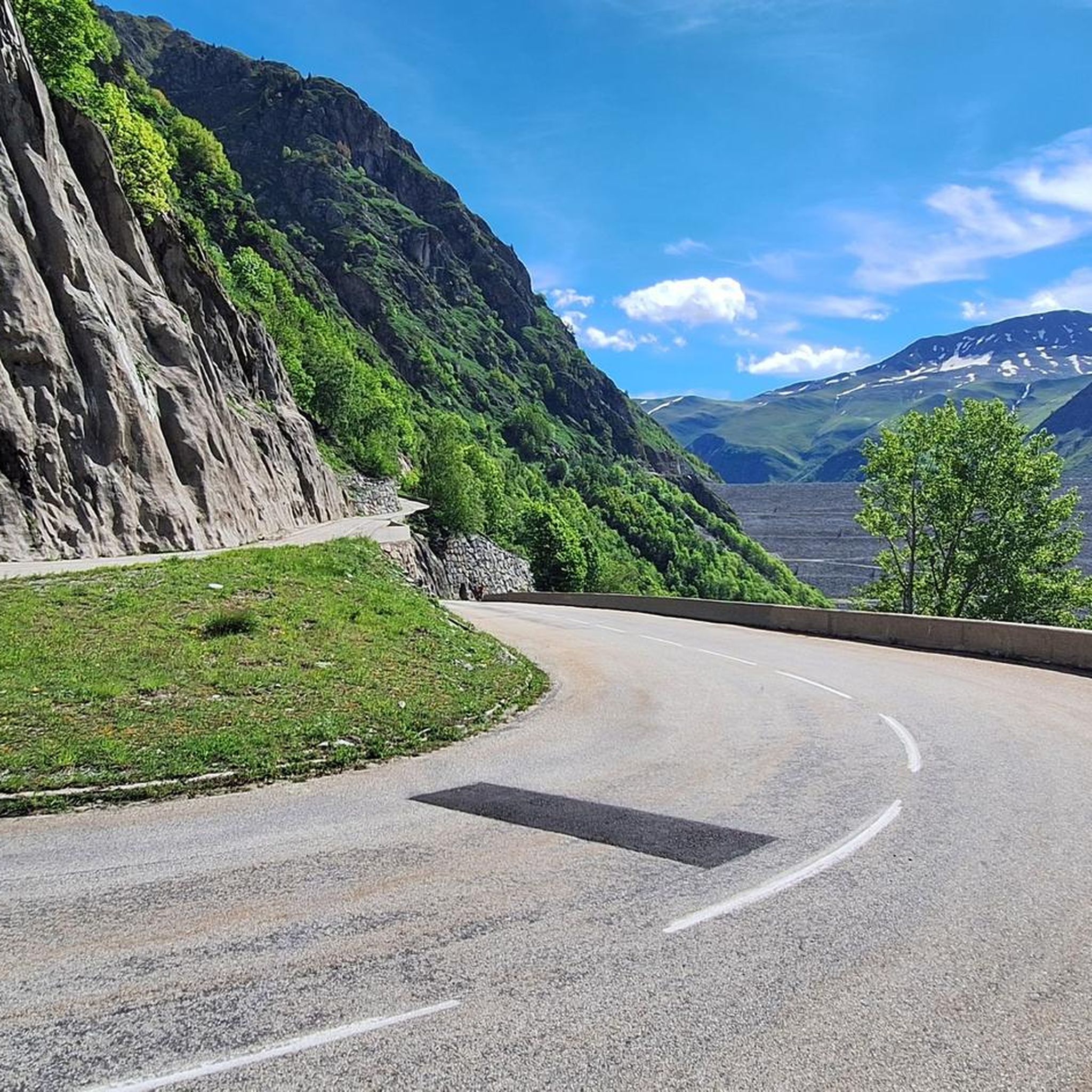
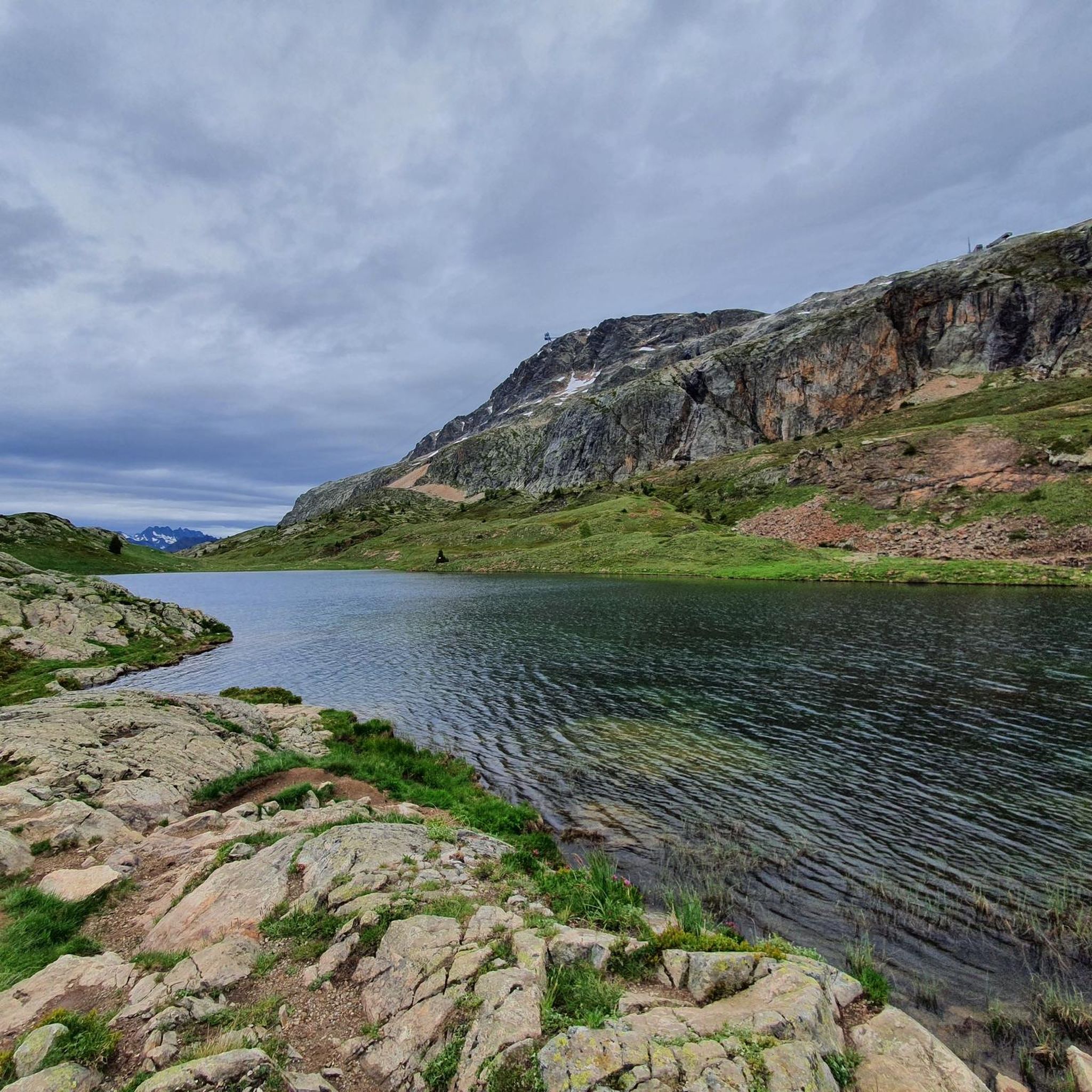
Tips from the Community

The most beautiful hill to climb in these areas.
12
0

There are no crowds here, just you, the mountain, the wind, and the sensation of pedaling on one of the remote peaks of the French Alps. The summit, at almost 2,000 meters, offers a 360° panorama that erases fatigue and ignites the cycling spirit.
4
0

Be careful of the clouds so as not to get lost. Very well marked. Be well equipped.
1
0

The hamlet of Perron is also known for its unique house leaning against a large rock.
0
0
A peat bog is a wetland colonized by vegetation in a water-saturated environment. Due to this particularity, we find specific flora and fauna in these areas.
0
0


Fully paved and much less busy than Alpe d'Huez, the Col de Sarenne connects Mizöen to the famous ski resort. A true natural spectacle!
4
2
Frequently Asked Questions
What makes the landscape around Lac des Quirlies unique for hiking?
The area is characterized by its dramatic, almost lunar, and mineral landscape, a stark contrast to the green mountain pastures found at lower elevations. You'll encounter visible remnants of the Quirlies and Malatres glaciers, along with granite moraines, all contributing to a distinct high-mountain environment. The centerpiece is the glacial Lac des Quirlies itself, known for its captivating milky-blue waters.
Are there any easy hiking trails suitable for beginners or families around Lac des Quirlies?
Yes, there are several easier options. For instance, the Pont Ferrand Waterfall Trail is an easy 3.4 km path that features the impressive Ferrand bridge waterfall. Another accessible option is the Ferrand Bridge and Waterfall – Pont Ferrand Waterfall loop from Clavans-en-Haut-Oisans, which is about 2.2 km. Overall, there are over 40 easy routes in the region.
What kind of natural features or landmarks can I expect to see while hiking here?
Beyond the stunning milky-blue Lac des Quirlies, you'll traverse the Ferrand valley, which features the impressive Ferrand bridge waterfall. The landscape offers panoramic vistas of iconic peaks like the Grand Sauvage, Plateau d'Emparis, Aiguilles d'Arves, and La Meije. You might also notice the imposing schist ridge known as the Échine de Praouat.
What is the best time of year to hike around Lac des Quirlies?
The best time for hiking is generally from late spring to early autumn. During this period, the snow has melted, making trails accessible, and allowing for optimal enjoyment of the high-altitude environment and vibrant wildflowers in the lower sections of the valley. Visiting in spring might even offer a chance to see the glacier plunging into the lake's waters.
How many hiking routes are available in the Lac des Quirlies area?
There are over 160 hiking routes available around Lac des Quirlies, catering to various skill levels. This includes over 40 easy routes, around 95 moderate trails, and 25 difficult options for more experienced hikers.
Are there any circular hiking routes in the region?
Yes, there are circular routes available. An example is the Tour of Oisans and Écrins: Col de Sarenne Loop, a moderate 7.8 km trail that takes you through varied landscapes. Other circular options include the Ferrand Bridge and Waterfall – Pont Ferrand Waterfall loop from Clavans-en-Haut-Oisans and the Ferrand Bridge and Waterfall – Brug loop from Clavans-en-Haut-Oisans.
What do other hikers say about the trails in Lac des Quirlies?
The trails around Lac des Quirlies are highly rated by the komoot community, with an average score of 4.5 stars from over 1000 reviews. More than 9000 hikers have used komoot to explore the varied terrain, often praising the dramatic high-mountain scenery and the unique milky-blue glacial lake.
What should I know about the terrain and difficulty of hikes to Lac des Quirlies?
Hiking to Lac des Quirlies is generally challenging, requiring good physical condition and sturdy hiking boots. While some sections offer pleasant, gradual climbs through green valleys, the final stretches to the lake become very steep and demanding. The terrain transitions from initial steep ascents through a slate quarry to undulating paths along the Ferrand torrent, eventually leading to a rugged, mineral environment.
Is the Lac des Quirlies area suitable for dog-friendly hiking?
While dogs are generally allowed on trails, it's important to be aware that mountain pastures in the valley are grazed by thousands of sheep. During summer months, you may encounter herds with guard dogs, and routes might offer few ways to bypass them. Always keep your dog on a leash and be respectful of livestock and working dogs.
Where do most hikes to Lac des Quirlies typically start from?
Most hikes to Lac des Quirlies typically start from Le Perron, a hamlet located in Clavans-en-Haut-Oisans. This is the common starting point for routes leading directly to the glacial lake, such as the challenging Trail to Lac des Quirlies from Le Perron.
Are there any specific regulations or environmental considerations when hiking in this area?
Yes, the Lac des Quirlies area is a Natura 2000 classified site, recognized for its remarkable and fragile biodiversity. Visitors are required to stay on marked trails and adhere to specific regulations to preserve this natural treasure. This helps protect the unique flora and fauna of the high-mountain environment.
What kind of wildlife might I encounter on the trails?
The area is a Natura 2000 classified site, indicating rich biodiversity. While specific wildlife sightings can vary, the presence of carcasses in mountain pastures suggests that vultures frequent the area. Hikers should also be aware of herds of sheep and their guard dogs during summer months.
Most popular routes around Lac des Quirlies

Get inspired with the komoot mobile app


Explore more
Browse the best Hikes in other regions.
