The best hikes from bus stations around Unterwellenborn
4.7
(11966)
40,502
hikers
113
hikes
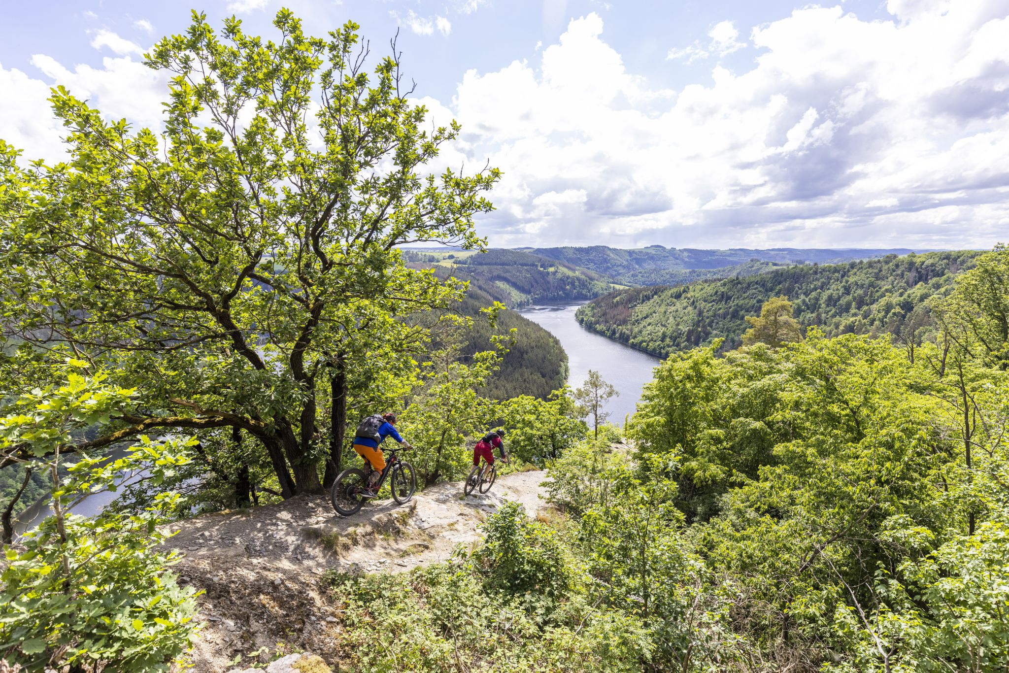
Bus station hiking trails around Unterwellenborn offer access to the picturesque landscapes of the Saalfeld-Rudolstadt region. The area is characterized by rolling hills, dense woodlands, and the fjord-like water landscape of the Hohenwarte Reservoir, often referred to as the "Thuringian Sea." Trails frequently follow the Saale River valley and ascend to viewpoints over the Thuringian Slate Mountains. The terrain includes natural forest paths and varied elevations, providing diverse hiking experiences.
Best bus station hiking trails around Unterwellenborn
- The most popular…
Last updated: July 11, 2026
4.8
(94)
246
hikers
16.3km
04:55
520m
520m
Moderate hike. Good fitness required. Easily-accessible paths. Suitable for all skill levels.
4.6
(35)
155
hikers
Hard hike. Very good fitness required. Easily-accessible paths. Suitable for all skill levels.

Sign up for free
4.9
(33)
104
hikers
5.11km
01:22
60m
60m
Easy hike. Great for any fitness level. Easily-accessible paths. Suitable for all skill levels.
4.7
(25)
103
hikers
23.1km
06:49
680m
680m
Hard hike. Very good fitness required. Easily-accessible paths. Suitable for all skill levels.
4.7
(75)
188
hikers
5.66km
01:46
190m
200m
Moderate hike. Great for any fitness level. Mostly accessible paths. Sure-footedness required.
Get access to more routes and recommendations from other explorers.
Sign up for free
Already have an account?
Our route recommendations are based on thousands of hikes, rides, and runs completed by other people on komoot.
Start today with a free account
Your next adventure awaits.
Login or Signup


Other adventures around Unterwellenborn


Tips from the Community

Wonderful view, a great place!
0
0

A breathtaking view. It's hard to believe you're in the heart of Germany.
0
0

Very nice rest area with a great view
0
0

It's always a matter of opinion what one thinks of such buildings. If you like it
0
1

A cool view of the giant pipes of the Hohenwarte pumped-storage power plant. Information panels explain all the technical details. The highlight is the great view of the Saale Valley and the Hohenwarte Reservoir dam. 👌🏻💯✅️♥️
1
0

lovingly designed gnome houses ...there's a lot to discover for young and old
1
0

A rustic, romantic place with a fantastic view
0
0

very well done, not only nice to look at for the little ones - there is always something to discover
0
0
Frequently Asked Questions
How many hiking trails are accessible from bus stations in Unterwellenborn?
There are over 100 hiking trails in the Unterwellenborn region that are easily accessible from bus stations, offering a wide variety of options for all skill levels. Specifically, komoot features 109 tours starting conveniently near public transport stops.
What kind of landscapes can I expect on hikes around Unterwellenborn?
Hikes around Unterwellenborn offer incredibly diverse landscapes. You'll experience the 'Thuringian Sea' with its fjord-like water scenery formed by the Hohenwarte Reservoir, dense woodlands and rolling hills of the Thuringian Forest, and panoramic views over the Thuringian Slate Mountains. Many routes also follow the picturesque Saale River Valley.
Are there any easy, family-friendly hikes accessible by bus in Unterwellenborn?
Yes, there are many easy routes suitable for families. For example, the Caimansport Lodge Viewpoint – Wilfried's Ruh loop from Bucha is an easy 5.1 km hike with minimal elevation gain, perfect for a relaxed family outing. The region also features trails like the Wutschental Trail, which is particularly suitable for families with children aged 6 and above.
Can I find circular hiking routes starting from bus stations in the area?
Absolutely. Many routes in Unterwellenborn are designed as circular walks, making them ideal for bus station access. For instance, the Saalesteg Pedestrian Bridge – Hohenwarte Dam loop from Bucha offers a scenic circular experience. The H5 'The Water Route' and H3 'The Bird's Eye View' are also notable circular trails in the region.
What are some notable landmarks or viewpoints I can discover on these trails?
The region is rich with stunning viewpoints and natural features. You can enjoy expansive views of the 'Thuringian Sea' and the Hohenwarte Dam, especially from routes like the View of the Hohenwarte Reservoir – Hohenwarte Dam loop from Hohenwarte. The striking peak of 'Hohenwart' also offers breathtaking panoramic views over the Thuringian Slate Mountains. Additionally, the View of Heidecksburg – Kulm Tower loop from Schloßkulm provides views of the historic Heidecksburg.
Are there any waterfalls or swimming spots near the bus station hiking trails?
Yes, the region features several beautiful waterfalls. You can visit the Chrysopras Weir on the Schwarza River or the Schwarza Waterfall (Schwarza Valley). For swimming, the Saalthal-Alter area, which is connected to the H5 'The Water Route' circular trail, offers opportunities for a refreshing dip in the Hohenwarte Reservoir. The Saalthal Alterbucht is a popular spot.
What is the best time of year to go hiking in Unterwellenborn?
The best seasons for hiking in Unterwellenborn are spring and autumn. In spring, nature awakens with vibrant colors and bird song, while autumn transforms the forests into a spectacular display of warm hues. Summer is also pleasant, especially for water-related activities, and some trails are suitable for winter hiking, offering a different kind of beauty.
What do other hikers enjoy most about the trails around Unterwellenborn?
The komoot community highly rates the hiking experiences around Unterwellenborn, with an average score of 4.66 stars. Hikers frequently praise the stunning views of the 'Thuringian Sea,' the well-maintained paths through diverse forests, and the variety of routes suitable for different fitness levels. The accessibility by public transport is also a significant plus for many.
Are there any challenging or difficult hikes accessible from bus stations?
Yes, for experienced hikers seeking a challenge, there are several difficult routes. The Gnome houses on the Gnome Trail – Mooshäuschen Viewpoint loop from Hohenwarte is a challenging 20 km route with significant elevation. Another demanding option is the View of the Hohenwarte Reservoir – Hohenwarte Dam loop from Hohenwarte, which covers over 23 km with substantial ascents.
Are the bus station hiking trails in Unterwellenborn dog-friendly?
Many trails in the Unterwellenborn region are dog-friendly, allowing you to enjoy the beautiful nature with your canine companion. It's always recommended to keep dogs on a leash, especially in nature reserves or near wildlife, and to check specific trail regulations if available. The varied terrain and forest paths are generally well-suited for walks with dogs.
Are there cafes or places to eat near the hiking trails accessible by bus?
While specific cafes directly at every bus stop are not guaranteed, many villages and towns along the hiking routes, such as Hohenwarte or Bucha, offer local eateries, guesthouses, or cafes where you can refuel. It's a good idea to check local listings for establishments along your chosen route before you set out.
Most popular routes around Unterwellenborn
Most popular attractions around Unterwellenborn

Get inspired with the komoot mobile app


Explore more
Browse the best Hikes in other regions.
