The best walks and hikes around Unterwellenborn
4.6
(12846)
41,498
hikers
187
hikes
Hiking trails around Unterwellenborn traverse the diverse landscapes of the Thuringian Forest and the Thuringian Slate Mountains. The region features lush forests, rolling hills, and the scenic Saale valley, which includes the fjord-like Hohenwarte Reservoir. Elevations vary, offering routes from gentle riverside paths to more challenging ascents. This area provides a mix of natural beauty and historical points of interest for hikers.
Best hiking trails around Unterwellenborn
- The most popular hiking route is Circular hiking trail - H3 The bird's…
Last updated: October 21, 2026
4.8
(152)
402
hikers
8.55km
02:36
280m
280m
Moderate hike. Good fitness required. Easily-accessible paths. Suitable for all skill levels.
4.8
(97)
245
hikers
16.3km
04:55
520m
520m
Moderate hike. Good fitness required. Easily-accessible paths. Suitable for all skill levels.

4.7
(40)
159
hikers
Hard hike. Very good fitness required. Easily-accessible paths. Suitable for all skill levels.
4.9
(32)
101
hikers
5.06km
01:22
60m
60m
Easy hike. Great for any fitness level. Easily-accessible paths. Suitable for all skill levels.
4.7
(28)
107
hikers
23.3km
06:51
670m
670m
Hard hike. Very good fitness required. Easily-accessible paths. Suitable for all skill levels.
Get access to more routes and recommendations from other explorers.
Already have an account?
Our route recommendations are based on thousands of hikes, rides, and runs completed by other people on komoot.
Start today with a free account
Your next adventure awaits.
Popular around Unterwellenborn

Forest, vastness and water – day trips in the Thuringian Forest
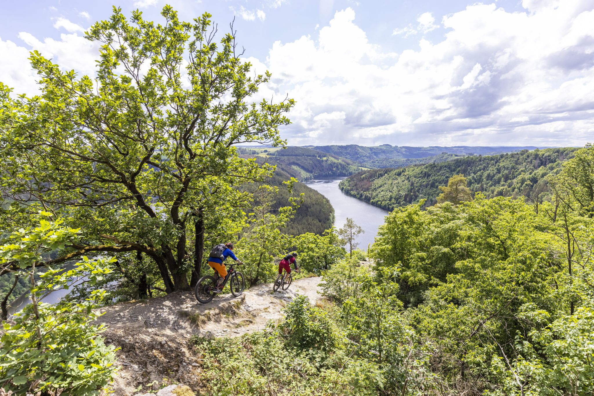
In the land of blue gold – Trail guide Thuringian Slate Mountains

Wintery river rides – from the Ruhr to the Elbe
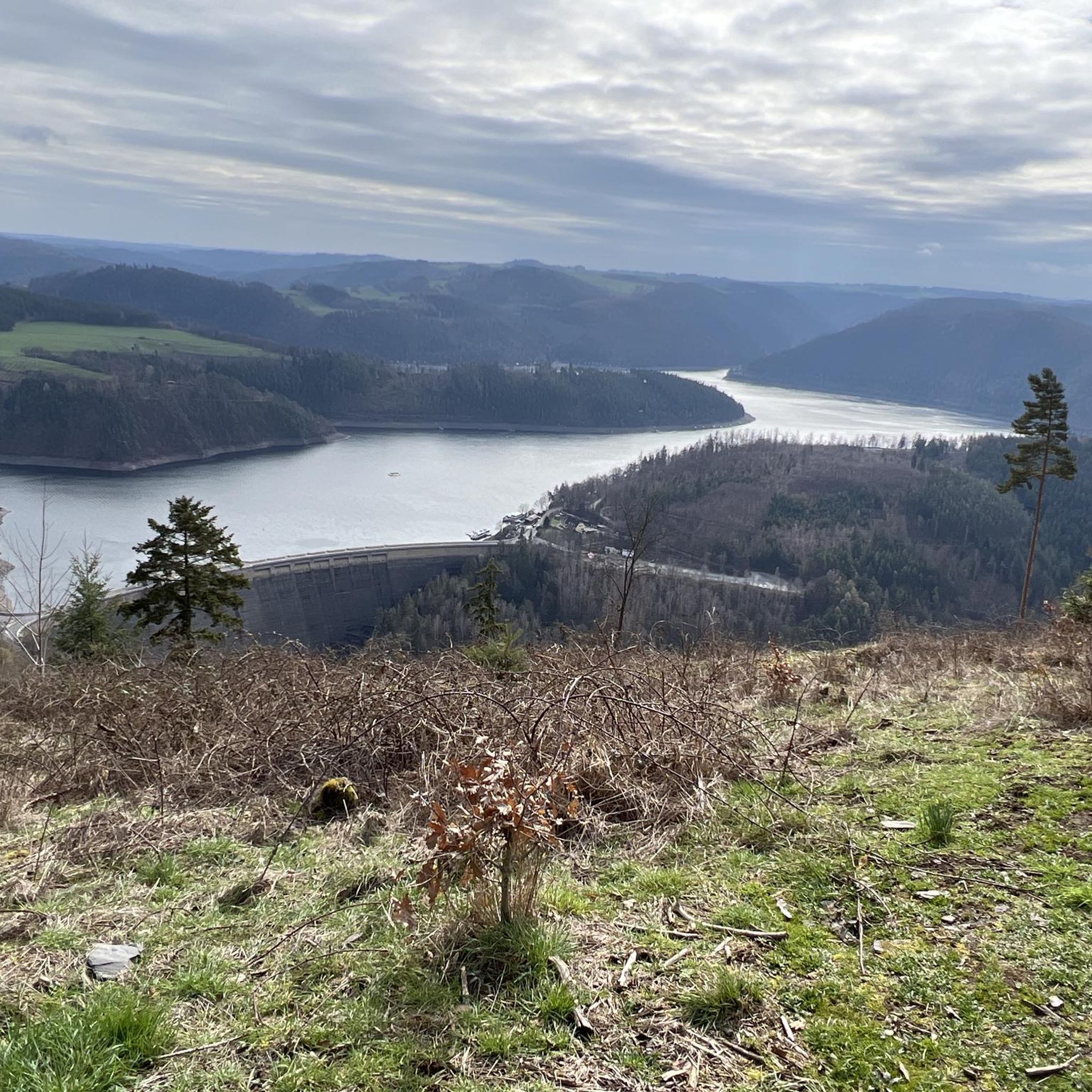
Cycling around Unterwellenborn
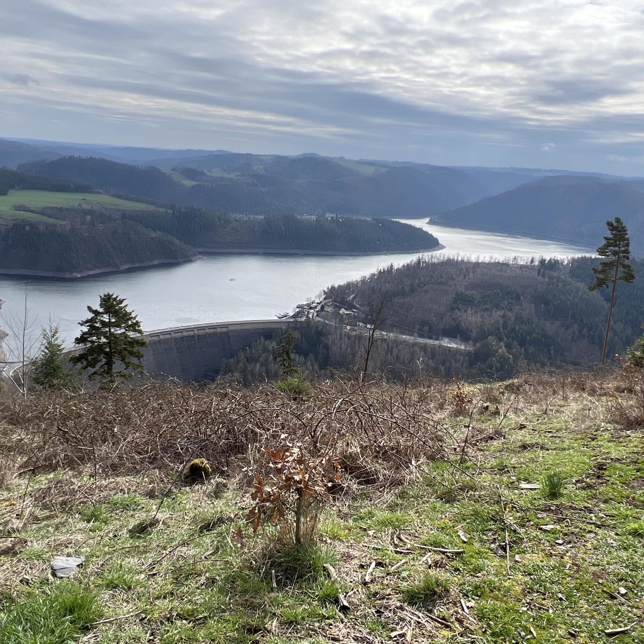
MTB Trails around Unterwellenborn
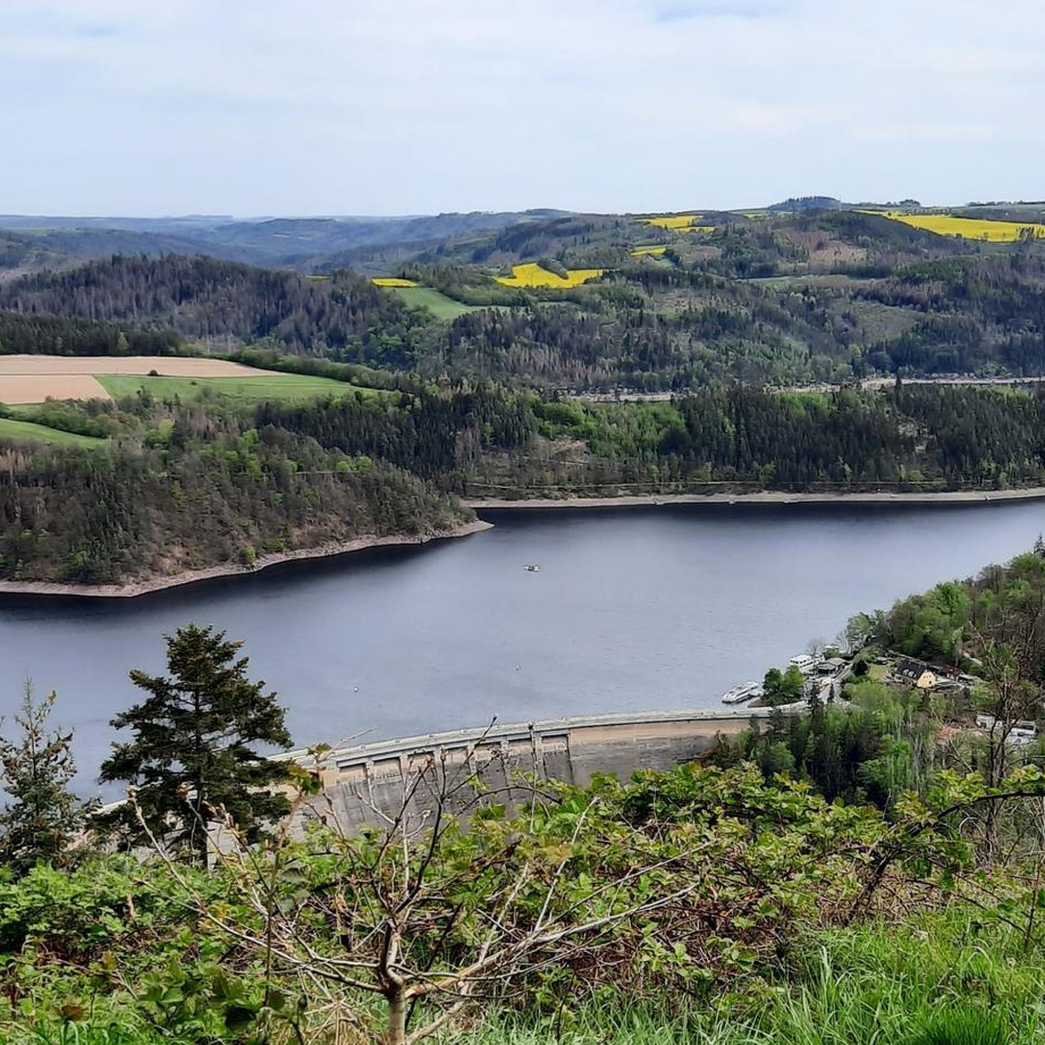
Road Cycling Routes around Unterwellenborn
Running Trails around Unterwellenborn
Gravel biking around Unterwellenborn
Other adventures around Unterwellenborn


Tips from the Community

14.09.2026 Bridge closed due to logging!
0
0

September 2026: Bridge is currently closed! Diversion is signposted, but you can easily take a wrong turn here.
0
0

Wonderful view, a great place!
0
0

A breathtaking view. It's hard to believe you're in the heart of Germany.
0
0


An epochal sight and a particularly beautiful panoramic view wonderful to enjoy
2
0

It's always a matter of opinion what one thinks of such buildings. If you like it
0
1

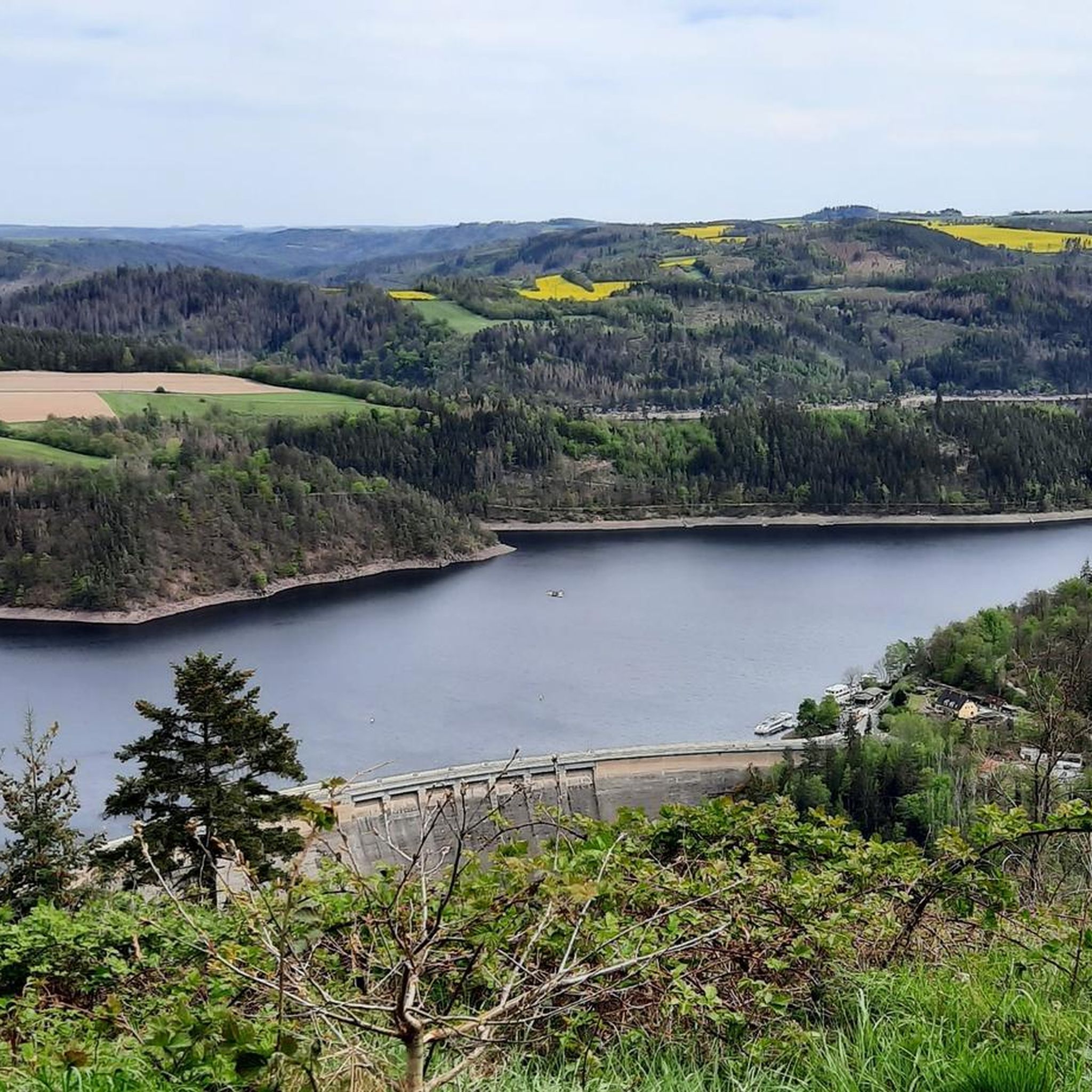
A cool view of the giant pipes of the Hohenwarte pumped-storage power plant. Information panels explain all the technical details. The highlight is the great view of the Saale Valley and the Hohenwarte Reservoir dam. 👌🏻💯✅️♥️
1
0
Frequently Asked Questions
What types of hiking trails can I expect around Unterwellenborn?
The region offers a diverse range of trails, from easy riverside paths along the Saale valley to more challenging ascents in the Thuringian Forest and Thuringian Slate Mountains. You'll find routes that traverse lush forests, rolling hills, and provide views of the fjord-like Hohenwarte Reservoir. There are over 190 routes in total, catering to various fitness levels.
Are there any easy hiking trails suitable for beginners or casual walkers?
Yes, there are many easy options. For instance, the Caimansport Lodge Viewpoint – Wilfried's Ruh loop from Bucha is an easy 5.1 km (3.2 miles) trail that takes just over an hour to complete, with minimal elevation gain. In total, there are 113 easy routes to choose from.
What are some notable natural features or viewpoints to discover while hiking?
Hikers can enjoy several natural highlights and viewpoints. The Hohenwart mountain peak offers breathtaking panoramic views of the Thuringian Slate Mountains. The Saale valley and the Hohenwarte Reservoir, often called the 'Thuringian Sea,' provide scenic paths and elevated vistas of the dam. You can also visit the View over the Hohenwarte Reservoir or the Mooshäuschen Viewpoint.
Are there any family-friendly hiking routes in the Unterwellenborn area?
Absolutely. The Wutschental Trail, a circular route of approximately 12 km, is particularly well-suited for families, showcasing the natural beauty of the area. Many of the 113 easy routes are also suitable for families looking for a less strenuous outing.
What is the best time of year to go hiking in Unterwellenborn?
The best seasons for hiking in Unterwellenborn are spring and autumn. In spring, nature blossoms with vibrant colors, while autumn transforms the forests into a spectacle of warm, rich hues. Both seasons offer pleasant temperatures for exploring the trails.
Are there any circular hiking routes available?
Yes, many trails in the region are circular. The Circular hiking trail - H3 The bird's eye view is a popular 8.5 km (5.3 miles) loop offering panoramic views. Other notable circular routes include the Wutschental Trail, H5 'The Water Route,' and the 'King Albert Trail'.
What historical or cultural attractions can I visit along the hiking trails?
Several trails integrate cultural and historical sights. The 'King Albert Trail' allows hikers to visit historically significant places like Burgk Castle and Heilsbronn Monastery. You might also encounter historical elements such as mystical picture panels, stone crosses, and memorial stones along paths like the 'Schustersteig'. The Ziemestal Viaduct is another interesting structure to discover.
What do other hikers say about the trails around Unterwellenborn?
The hiking routes in Unterwellenborn are highly rated by the komoot community, with an average score of 4.6 stars from over 1,100 reviews. Hikers often praise the diverse landscapes, the well-maintained paths, and the stunning views, especially around the Hohenwarte Reservoir.
Are there any trails that offer views of castles or other landmarks?
Yes, for impressive views of landmarks, consider the View of Heidecksburg – Kulm Tower loop from Schloßkulm. This moderate 12.1 km (7.5 miles) route offers vistas of Heidecksburg Castle and leads to the Kulmberghaus Lookout Tower, which provides a 'twelve-castles-view' (Zwölf-Schlösser-Blick) of the Thuringian landscape.
Are there any challenging hikes for experienced hikers?
While many routes are easy to moderate, there are also more challenging options. For example, the Gnome houses on the Gnome Trail – Mooshäuschen Viewpoint loop from Hohenwarte is a difficult 20 km (12.4 miles) trail that leads through varied forest terrain and involves significant elevation changes. In total, there are 6 difficult routes in the area.
Can I find trails that lead along the water?
Yes, the region is characterized by the scenic Saale valley, with wide, romantic paths leading directly along the water. The Hohenwarte Reservoir also offers numerous trails that follow its shores, providing beautiful waterside views. The Saalesteg Pedestrian Bridge – Hohenwarte Dam loop from Bucha is a great example, following the scenic Saale valley and Hohenwarte Reservoir.
Most popular routes around Unterwellenborn
Most popular attractions around Unterwellenborn

Get inspired with the komoot mobile app


Explore more
Browse the best Hikes in other regions.
