The best hikes from bus stations around Aspangberg-St.Peter
4.6
(849)
5,196
hikers
12
hikes
Bus station hiking trails around Aspangberg-St.Peter traverse a varied landscape in southern Lower Austria, ranging from 450 to 1743 meters in elevation. The region is characterized by rolling hills, dense forests, and alpine pastures within the broader Wechsel region. Hikers can explore features like the Wechselgraben Waterfall and the Steinerne Stiege, with routes often leading to panoramic views.
Best bus station hiking trails around Aspangberg-St.Peter
- The most popular bus station hiking route is Marienseer Schwaig – Wechselgraben Waterfall loop from Aspangberg-St. Peter, a 10.5 miles (16.8 km) trail that takes about 6 hours 28 minutes to complete. This difficult route features the notable Wechselgraben Waterfall.
- Another top favourite among local hikers is Marienseer Schwaig – Steinerne Stiege loop from Aspangberg-St. Peter, a difficult 11.8 miles (19.0 km) path. This route includes the natural feature of the Steinerne Stiege.
- Local hikers also love the Schaukelweg Swing Trail – Hallerhaus Mountain Lodge loop from Aspangberg-St. Peter, an 11.5 miles (18.5 km) trail leading through varied terrain towards the Hallerhaus Mountain Lodge, often completed in about 6 hours 21 minutes.
- Hiking around Aspangberg-St.Peter is defined by the rolling hills of the Wechsel region, dense forests, and alpine pastures, offering routes for moderate to difficult ability levels.
- The routes in Aspangberg-St.Peter are highly rated by the komoot community with an average score of 4.6 stars from over 800 reviews. More than 5000 hikers have used komoot to explore Aspangberg-St.Peter's varied terrain.
Last updated: June 27, 2026
4.9
(54)
292
hikers
16.8km
06:28
920m
920m
Hard hike. Very good fitness required. Mostly accessible paths. Sure-footedness required.
5.0
(7)
114
hikers
12.6km
05:20
860m
860m
Hard hike. Very good fitness required. Mostly accessible paths. Sure-footedness required.

Sign up for free
4.8
(8)
55
hikers
18.9km
06:53
960m
960m
Hard hike. Very good fitness required. Mostly accessible paths. Sure-footedness required.
4.5
(4)
53
hikers
Hard hike. Very good fitness required. Easily-accessible paths. Suitable for all skill levels.
4.7
(3)
20
hikers
11.5km
03:37
440m
440m
Moderate hike. Good fitness required. Mostly accessible paths. Sure-footedness required.
Get access to more routes and recommendations from other explorers.
Sign up for free
Already have an account?
Our route recommendations are based on thousands of hikes, rides, and runs completed by other people on komoot.
Start today with a free account
Your next adventure awaits.
Login or Signup



Tips from the Community

Wonderful nature experience - an easy, exciting way to the waterfall.
0
0

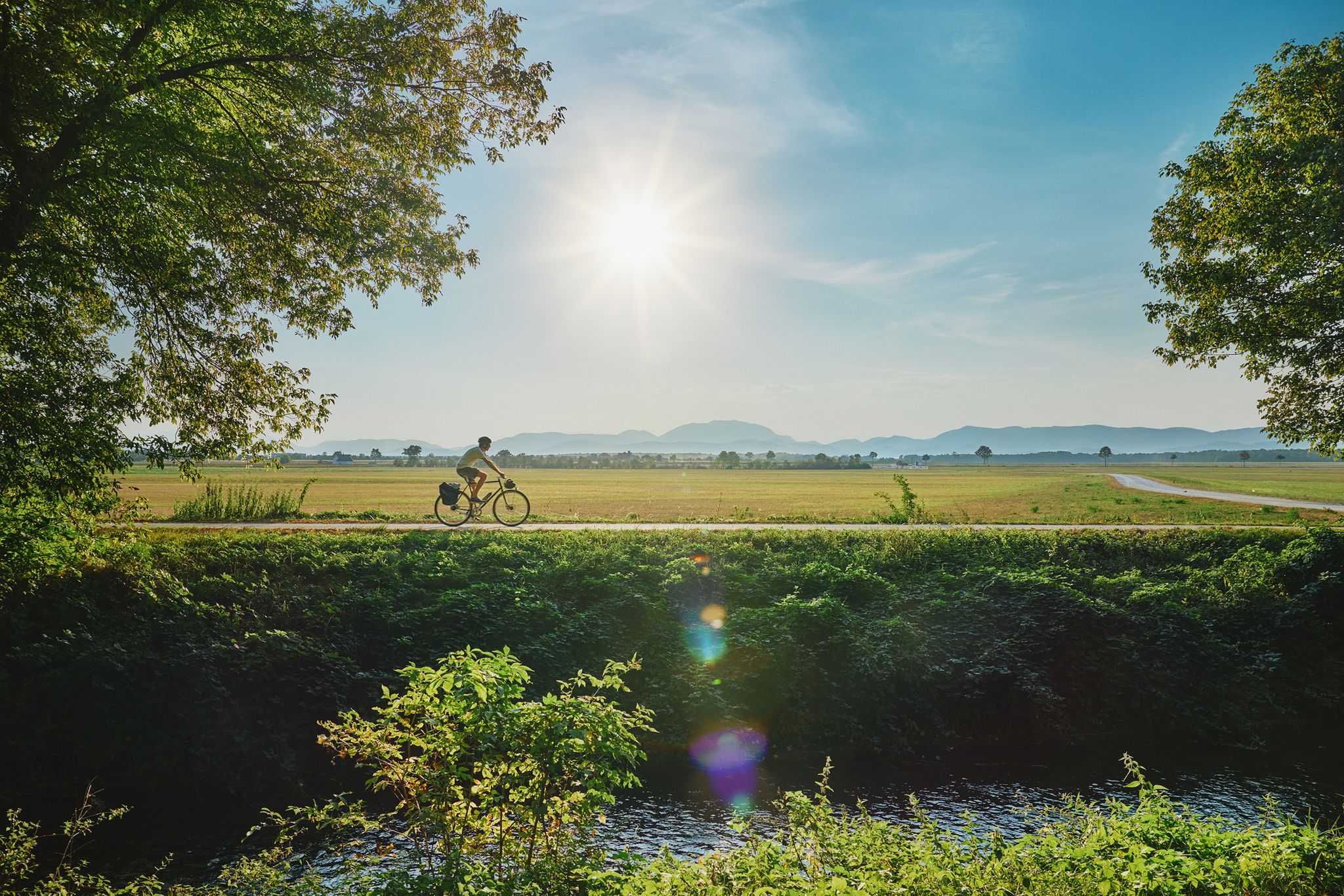
Delicious food, friendly service, easy to reach by bike from Möhnichkirchen.
0
0
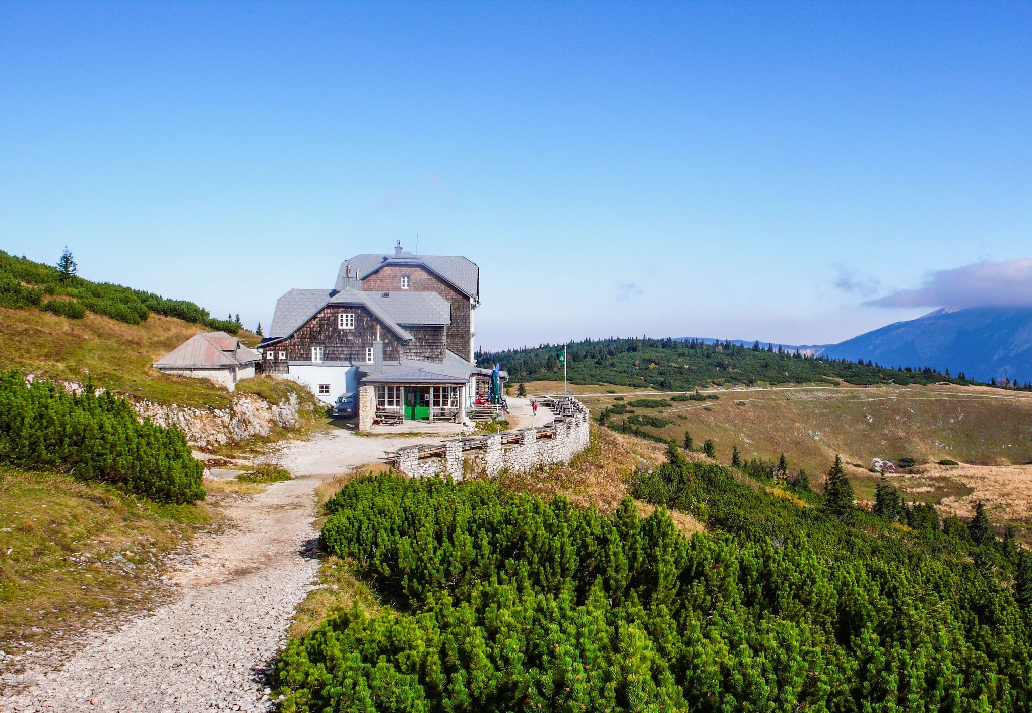
Beautiful location, good place to stop for a break, right next to the mountain bike trails and the start of the "Haller Trail".
0
0


Lots of blueberry plants, but unfortunately also a few horseflies in July.
0
0

Sunny rest area on the terrace of the mountain inn.
0
0

The mountain ridge of the Wechsel stretches for over 15 km - the eastern Austrian low mountain range on the border between Lower Austria and Styria 🌲 Its three most lofty peaks each rise over 1,700 m ⛰️ Thanks to its mountain landscapes, which range from lovely to challenging, the Wechsel is considered a hiking destination for families on the one hand - and a local recreation area for experienced hikers and climbers on the other 🥾 The Hochwechsel, as the highest peak, offers particularly worthwhile views: the panoramic view stretches from Semmering and Rax to the Schneeberg 🌄 In good weather, even Burgenland, Styria, Hungary and Slovenia can be seen 😎 From mid-May to mid-November, a wonderful rest in the Wetterkoglerhaus is also tempting 🧃 www.wieneralpen.at/ausflugsziel-in-den-wiener-alpen-entdecken/a-hochwechsel-im-wechselgebirge
10
0
Frequently Asked Questions
How many bus-accessible hiking trails are available in Aspangberg-St. Peter?
There are 12 hiking trails in Aspangberg-St. Peter that are easily accessible from bus stations, offering a convenient way to explore the region without a car.
What kind of natural features can I expect to see on bus-accessible hikes in Aspangberg-St. Peter?
The region offers diverse natural beauty, including the scenic Wechsel region with its rolling hills and forests. You can discover highlights like the Wechselgraben Waterfall, the tranquil Feuchtbiotop Mariensee, and the impressive Steinerne Stiege. Some routes also lead to panoramic views from higher elevations like the Hochwechsel.
Are there any bus-accessible hiking trails suitable for families in Aspangberg-St. Peter?
Yes, there are options for families. While many routes are moderate to difficult, some trails offer easier sections and amenities like refreshing water sources and restaurants along the way. Look for routes with less elevation gain for a more relaxed family outing.
Can I bring my dog on these bus-accessible hiking trails?
Generally, dogs are welcome on hiking trails in Aspangberg-St. Peter. However, always keep your dog on a leash, especially in nature protection areas, near livestock, or in crowded sections. Be mindful of local regulations and ensure your dog is well-behaved around other hikers and wildlife.
Are there any circular hiking routes accessible from bus stations?
Yes, many of the trails are circular, allowing you to start and end your hike at the same bus stop. For example, the challenging Marienseer Schwaig – Wechselgraben Waterfall loop from Aspangberg-St. Peter and the Marienseer Waterfall loop from Aspangberg-St. Peter are excellent circular options.
What are some notable landmarks or points of interest along these trails?
Beyond natural features, you can encounter significant landmarks. The Marienseer Schwaig – Steinerne Stiege loop from Aspangberg-St. Peter takes you past the Steinerne Stiege. You might also find the ancient '1000-jährige Eiche' (1000-year-old oak) on some routes. For broader exploration, nearby attractions include the Chapel and summit cross on the Hochwechsel and various castles like Grimmenstein Castle.
Are there any challenging bus-accessible hikes for experienced hikers?
Absolutely. For experienced hikers, routes like the Schaukelweg Swing Trail – Hallerhaus Mountain Lodge loop from Aspangberg-St. Peter offer significant elevation gains and longer distances. The Chapel at the Hochwechsel summit – Marienseer Schwaig loop from Mariensee Almbauer is another demanding option, requiring good fitness.
What is the best time of year to hike from bus stations in Aspangberg-St. Peter?
The hiking season generally runs from spring to autumn, offering pleasant temperatures and vibrant landscapes. Summer is ideal for higher elevation routes, while spring and autumn provide beautiful foliage and fewer crowds. Always check local weather conditions before heading out, especially for higher alpine areas.
Are there places to eat or rest along the bus-accessible hiking trails?
Yes, many trails in the region are well-equipped with amenities. You'll find guesthouses and restaurants along various routes, such as the Futterkrippe mentioned in the region research, providing opportunities for refreshment and rest during your hike.
What do other hikers say about the bus-accessible trails in Aspangberg-St. Peter?
The komoot community highly rates the trails in Aspangberg-St. Peter, with an average score of 4.6 stars from 817 ratings. Hikers often praise the diverse landscapes, well-maintained paths, and the rewarding views from summits like the Hochwechsel.
Are there any themed trails accessible by bus?
Yes, the region features unique themed trails. The 'Themenpfad Wildwasser' (Wild Water Theme Trail) offers an engaging experience focused on the area's aquatic features, providing an educational and scenic hike.
Most popular routes around Aspangberg-St.Peter
Most popular attractions around Aspangberg-St.Peter

Get inspired with the komoot mobile app


Explore more
Browse the best Hikes in other regions.
