The best mountain hikes around Aspangberg-St.Peter
4.7
(7)
143
hikers
14
hikes
Mountaineering routes around Aspangberg-St. Peter are situated in the southern part of Lower Austria, within the Vienna Alps and Wechselland region. The municipality features an elevation range from 450 to 1743 meters, providing diverse terrain for alpine activities. This area is characterized by its mountainous landscape, offering both challenging ascents and scenic routes. The region's natural features include dynamic water features, wetland biotopes, and ancient flora.
Best mountaineering routes around Aspangberg-St.Peter
- The most popular mountaineering route is Pfaffensattel Pass Parking…
Last updated: July 2, 2026
37
hikers
17.7km
06:43
1,200m
1,200m
Hard mountaineering route. Very good fitness required. Mostly accessible paths. Sure-footedness required.
16
hikers
Moderate mountaineering route. Good fitness required. Mostly accessible paths. Sure-footedness required.

Sign up for free
4.0
(1)
9
hikers
Moderate mountaineering route. Good fitness required. Mostly accessible paths. Sure-footedness required.
11
hikers
22.6km
07:05
870m
870m
Hard mountaineering route. Very good fitness required. Easily-accessible paths. Suitable for all skill levels.
5.0
(1)
9
hikers
Moderate mountaineering route. Good fitness required. Easily-accessible paths. Suitable for all skill levels.
Get access to more routes and recommendations from other explorers.
Sign up for free
Already have an account?
Our route recommendations are based on thousands of hikes, rides, and runs completed by other people on komoot.
Start today with a free account
Your next adventure awaits.
Login or Signup
Popular around Aspangberg-St.Peter

Central Alps Trail Eastern Section – Discover Austria
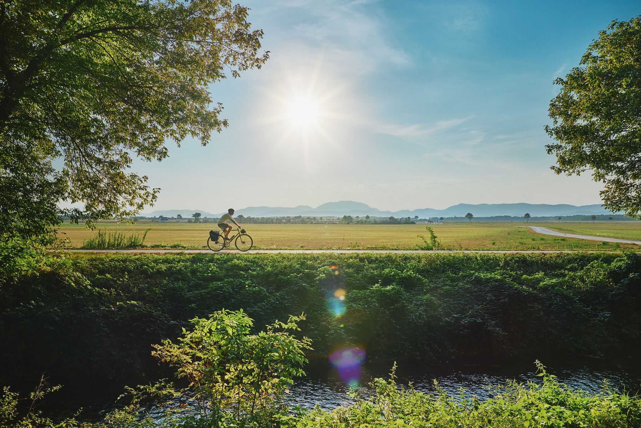
Superb cycling in the Vienna Alps – every day a new route
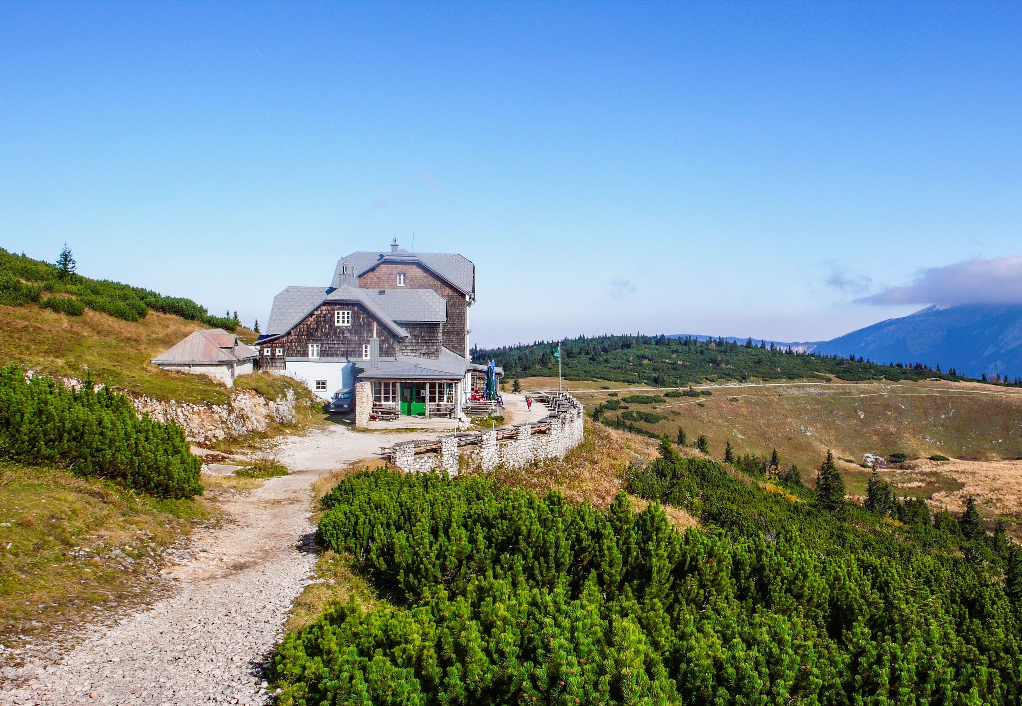
Hut fun in Austria’s Schneebergland
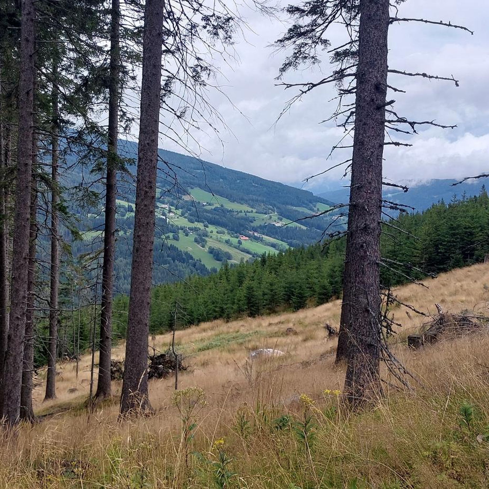
Hiking around Aspangberg-St.Peter
MTB Trails around Aspangberg-St.Peter
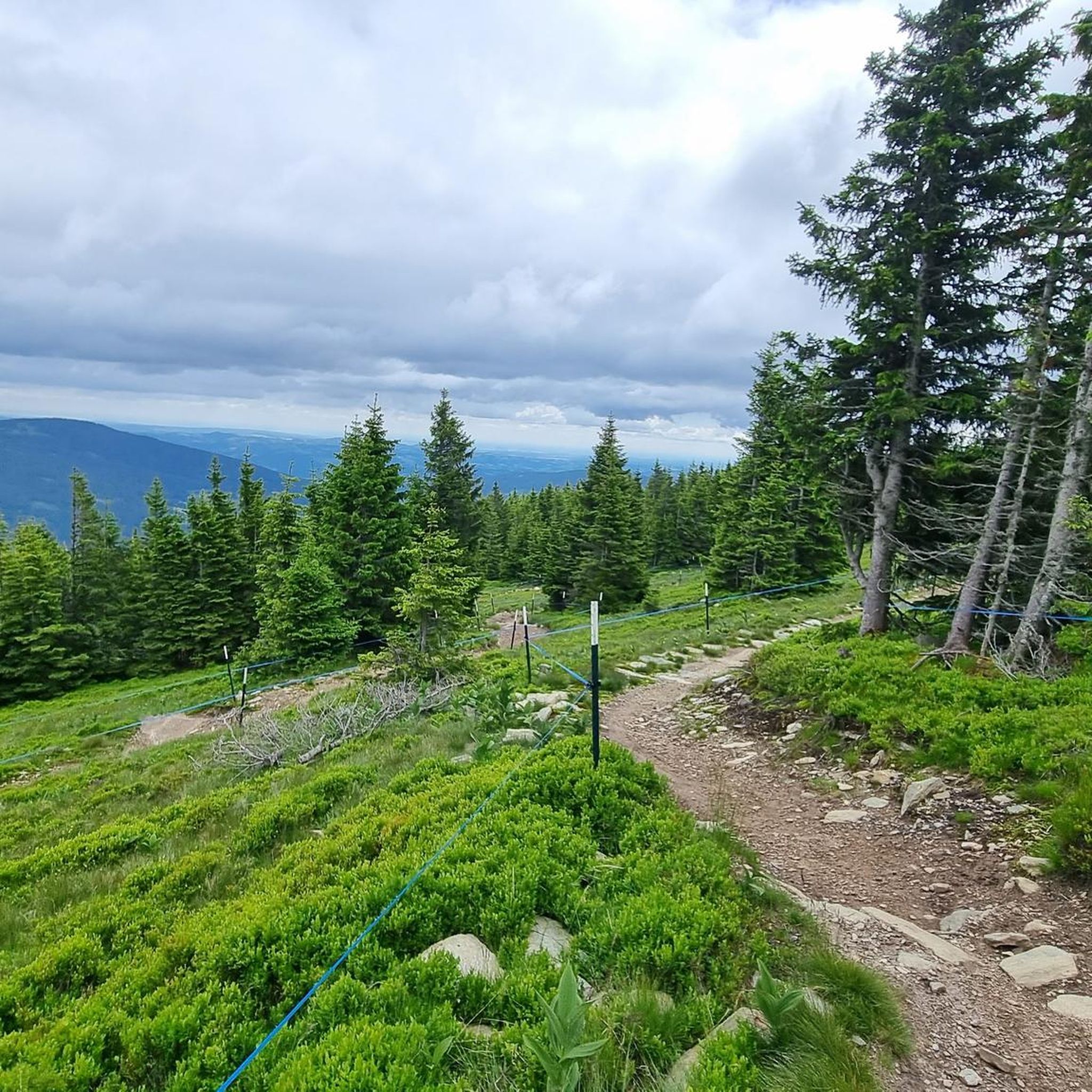
Cycling around Aspangberg-St.Peter

Gravel biking around Aspangberg-St.Peter
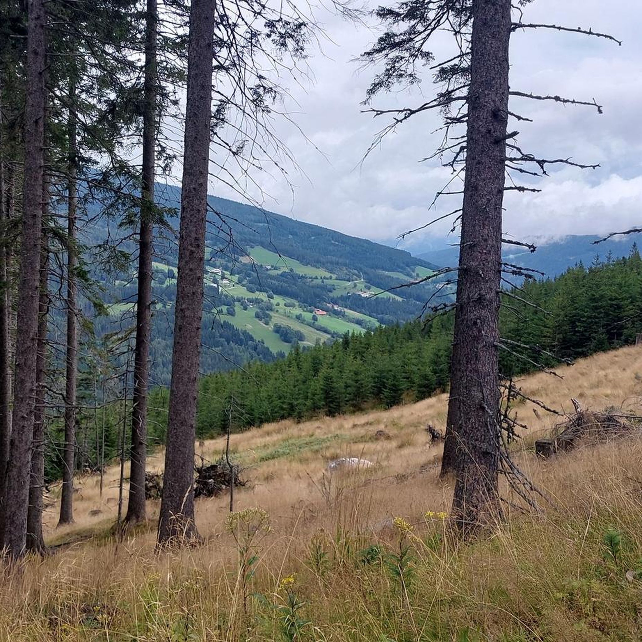
Road Cycling Routes around Aspangberg-St.Peter
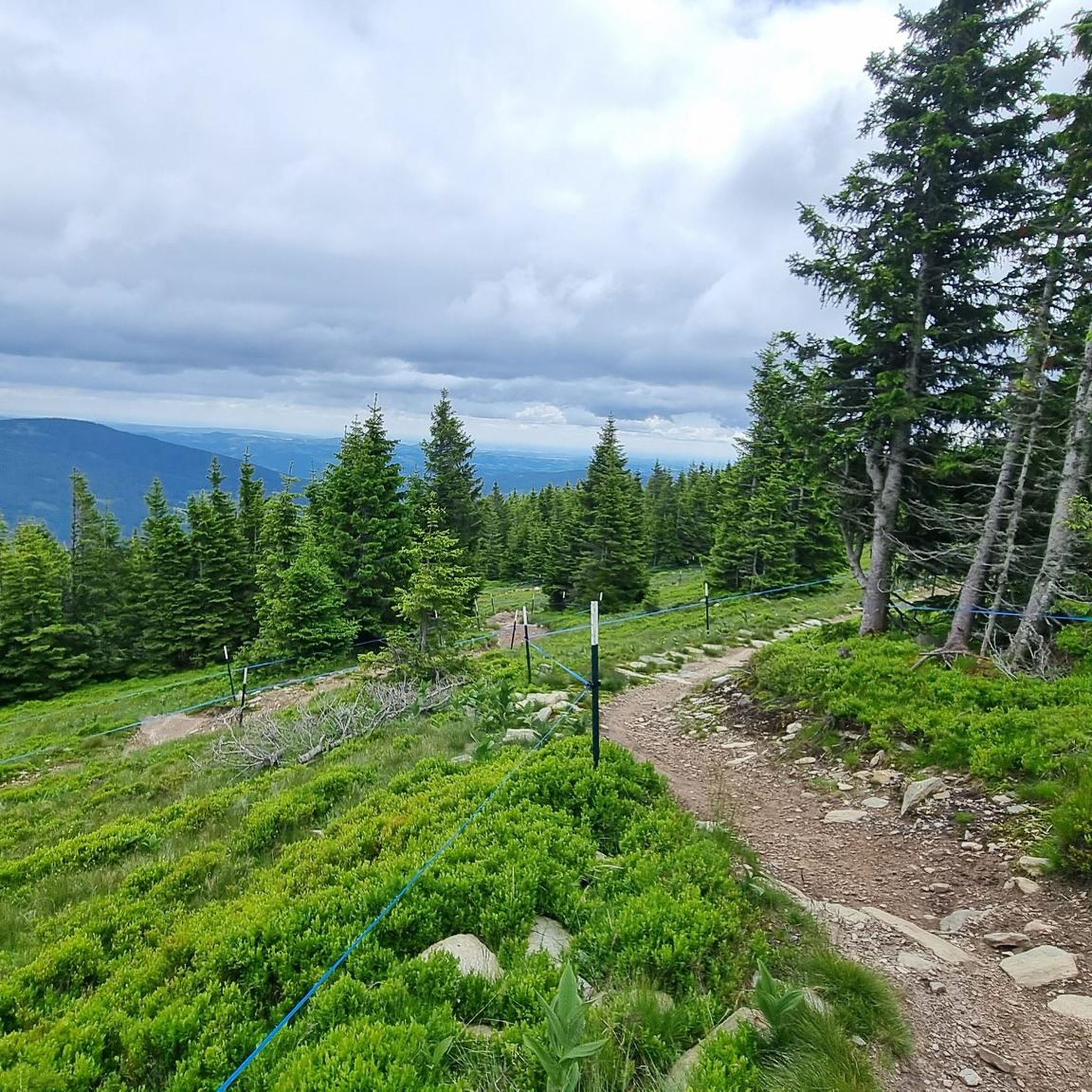
Running Trails around Aspangberg-St.Peter


Tips from the Community

A highlight you have to do once
3
0
Many visitors erect their stone sculptures here.
4
0
Beautiful cross at the summit, Alois Günther mountain hut
4
0

Highest point of the Fischbach Alps! Magnificent views of Schneeberg, Rax, Schneeakpe, Veitsch, Hochschwab, Hochwechsel, Sonnwendstein and Hochlantsch.
0
0
Nice place to take a break
3
0

Beautiful location, good place to stop for a break, right next to the mountain bike trails and the start of the "Haller Trail".
0
0
Great view, challenging to drive, really fun
4
0
Great view, challenging to drive
4
0
Frequently Asked Questions
How many mountaineering routes are available in Aspangberg-St. Peter?
There are 15 dedicated mountaineering routes around Aspangberg-St. Peter. These include 7 moderate and 8 difficult trails, offering a range of challenges for different skill levels.
Are there any circular mountaineering routes in the area?
Yes, many routes in Aspangberg-St. Peter are designed as loops. For example, the Pfaffensattel Pass Parking – Alois-Günther-Haus loop from Pfaffensattel is a challenging 17.6 km circular route, and the Hochwechsel Summit – Chapel on Hochwechsel loop from Katastralgemeinde Neustift am Alpenwald offers a moderate 11.3 km circular experience.
What kind of natural features can I expect to see on these routes?
The region is rich in natural beauty, including dynamic water features, serene wetland biotopes like the Feuchtbiotop Mariensee, and ancient flora such as the 1000-year-old Oak. You might also encounter the Wechselgraben Waterfall or the Hermann Cave.
Are there any routes suitable for advanced mountaineers seeking a challenge?
Absolutely. Aspangberg-St. Peter offers several difficult routes. The Pfaffensattel Pass Parking – Alois-Günther-Haus loop from Pfaffensattel is a demanding 17.6 km trail with over 1197 meters of elevation gain. Another challenging option is the Hallerhaus Mountain Lodge – Vorauer Schwaig Alm loop from Mönichkirchen, spanning 22.6 km.
What do other mountaineers say about the routes in Aspangberg-St. Peter?
The mountaineering routes in Aspangberg-St. Peter are highly regarded by the komoot community, with an average rating of 4.7 stars from more than 5 reviews. Users often praise the diverse terrain, challenging ascents, and the scenic beauty of the Vienna Alps and Wechselland region.
Are there any mountain lodges or summits to aim for on the trails?
Yes, many routes lead to or pass by mountain lodges and summits. For instance, the Hochwechsel Summit – Chapel on Hochwechsel loop from Katastralgemeinde Neustift am Alpenwald takes you towards the Hochwechsel summit. The Hallerhaus Mountain Lodge – Vorauer Schwaig Alm loop from Mönichkirchen also leads through alpine pastures and towards mountain lodges.
What is the elevation range for mountaineering in Aspangberg-St. Peter?
The municipality of Aspangberg-St. Peter features a significant elevation range, from 450 meters up to 1743 meters. This diversity ensures a variety of terrain, from lower-lying paths to challenging alpine ascents.
Can I find any historical landmarks or castles near the mountaineering routes?
Yes, the region is home to several historical castles. You might consider visiting Grimmenstein Castle, Feistritz Castle, or the Ruins of Hochgrimmenstein Castle on Kulmriegel Summit, which are all within the broader area.
Are there any moderate mountaineering routes suitable for those looking for a less strenuous climb?
Certainly. While there are many difficult routes, Aspangberg-St. Peter also offers moderate options. The Hochwechsel Summit – Chapel on Hochwechsel loop from Katastralgemeinde Neustift am Alpenwald is a moderate 11.3 km path, and the Trail Sign at Hochwechsel – Hochwechsel Trail Sign loop from Waldbach-Mönichwald is another moderate 12.7 km route.
What kind of terrain defines mountaineering in Aspangberg-St. Peter?
Mountaineering in Aspangberg-St. Peter is characterized by its alpine nature, diverse elevation changes, and a mix of challenging ascents and scenic paths. You'll find routes leading through forests, across alpine pastures, and up to various summits.
Are there any routes that offer views of the Hochwechsel summit?
Yes, the Hochwechsel Summit – Chapel on Hochwechsel loop from Katastralgemeinde Neustift am Alpenwald specifically offers views towards the Hochwechsel summit and its chapel. Another route, the Wetterkogler House – Hochwechsel loop from Feistritzsattel, also provides access to the Hochwechsel area.
Most popular routes around Aspangberg-St.Peter
Most popular attractions around Aspangberg-St.Peter

Get inspired with the komoot mobile app


Explore more
Browse the best Mountain Hikes & Routes in other regions.
