The best hikes from bus stations around Regionalverband Saarbrücken
4.5
(10256)
43,244
hikers
1,186
hikes
Bus station hiking trails around Regionalverband Saarbrücken traverse a landscape characterized by diverse forests, rolling hills, and scenic river valleys. The region features extensive woodlands, including the Saarbrücken Forest, alongside the tranquil Saar and Blies riverbanks. Hikers can explore varied terrain, from wooded floodplains and meadows to distinctive Buntsandstein rock formations, particularly within the Bliesgau Biosphere. Idyllic ponds and natural wetlands are also common features along many routes.
Best bus station hiking trails around Regionalverband Saarbrücken
- The most popular bus station hiking route is Blies-Grenz-Weg, a 9.8 miles (15.8 km) trail that takes about 4 hours 30 minutes to complete. This moderate route offers a cross-border connection with scenic views.
- Another top favourite among local hikers is Weiherbach Natural Wetland – Blauer Weiher loop from Friedrichsthal, a moderate 6.3 miles (10.1 km) path. This trail leads through natural wetlands and past the Blauer Weiher, offering tranquil natural scenery.
- Local hikers also love the Saar-Alpakas Farm – Tabak Pond loop from Saarbrücken, a 6.6 miles (10.6 km) trail leading through rural landscapes and past the idyllic Tabak Pond, often completed in about 3 hours.
- Hiking around Regionalverband Saarbrücken is defined by dense woodlands, river valleys, and rolling hills. The network offers options for different ability levels, from easy walks to more challenging moderate routes.
- The routes in Regionalverband Saarbrücken are highly rated by the komoot community with an average score of 4.5 stars from over 9,000 reviews. More than 43,000 hikers have used komoot to explore Regionalverband Saarbrücken's varied terrain.
Last updated: October 13, 2026
4.7
(241)
823
hikers
15.8km
04:29
350m
350m
Moderate hike. Good fitness required. Easily-accessible paths. Suitable for all skill levels.
4.6
(220)
757
hikers
11.0km
03:07
240m
240m
Moderate hike. Good fitness required. Easily-accessible paths. Suitable for all skill levels.

4.5
(94)
295
hikers
10.3km
02:53
190m
190m
Moderate hike. Good fitness required. Easily-accessible paths. Suitable for all skill levels.
4.4
(110)
320
hikers
Easy hike. Great for any fitness level. Easily-accessible paths. Suitable for all skill levels.
4.8
(116)
350
hikers
15.6km
04:23
310m
310m
Moderate hike. Good fitness required. Easily-accessible paths. Suitable for all skill levels.
Get access to more routes and recommendations from other explorers.
Already have an account?
Our route recommendations are based on thousands of hikes, rides, and runs completed by other people on komoot.
Start today with a free account
Your next adventure awaits.
Popular around Regionalverband Saarbrücken
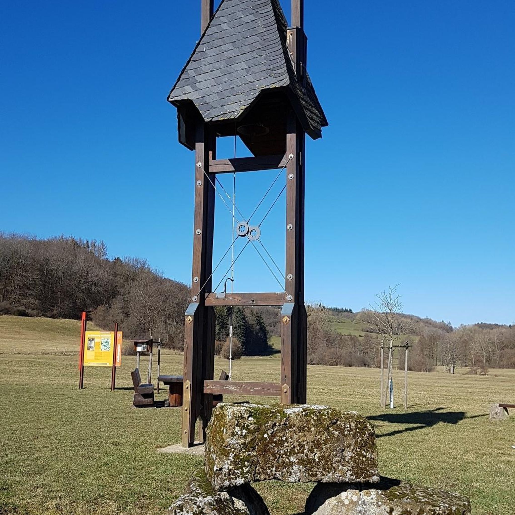
Hikes from bus stations in Wisch- Und Wogbachtal

Hikes from bus stations in Gemeindewald Auersmacher - Bliesbogen

Hikes from bus stations around Püttlingen

Hikes from bus stations around Heusweiler

Hikes from bus stations in Staatsforst Saarbrücken
Hikes from bus stations in Urwald - Waldschutzgebiet Steinbach- Und Netzbachtal
Hikes from bus stations in Köllertaler Wald, Bietschieder Bachtal (Teilbereich Riegelsberg)
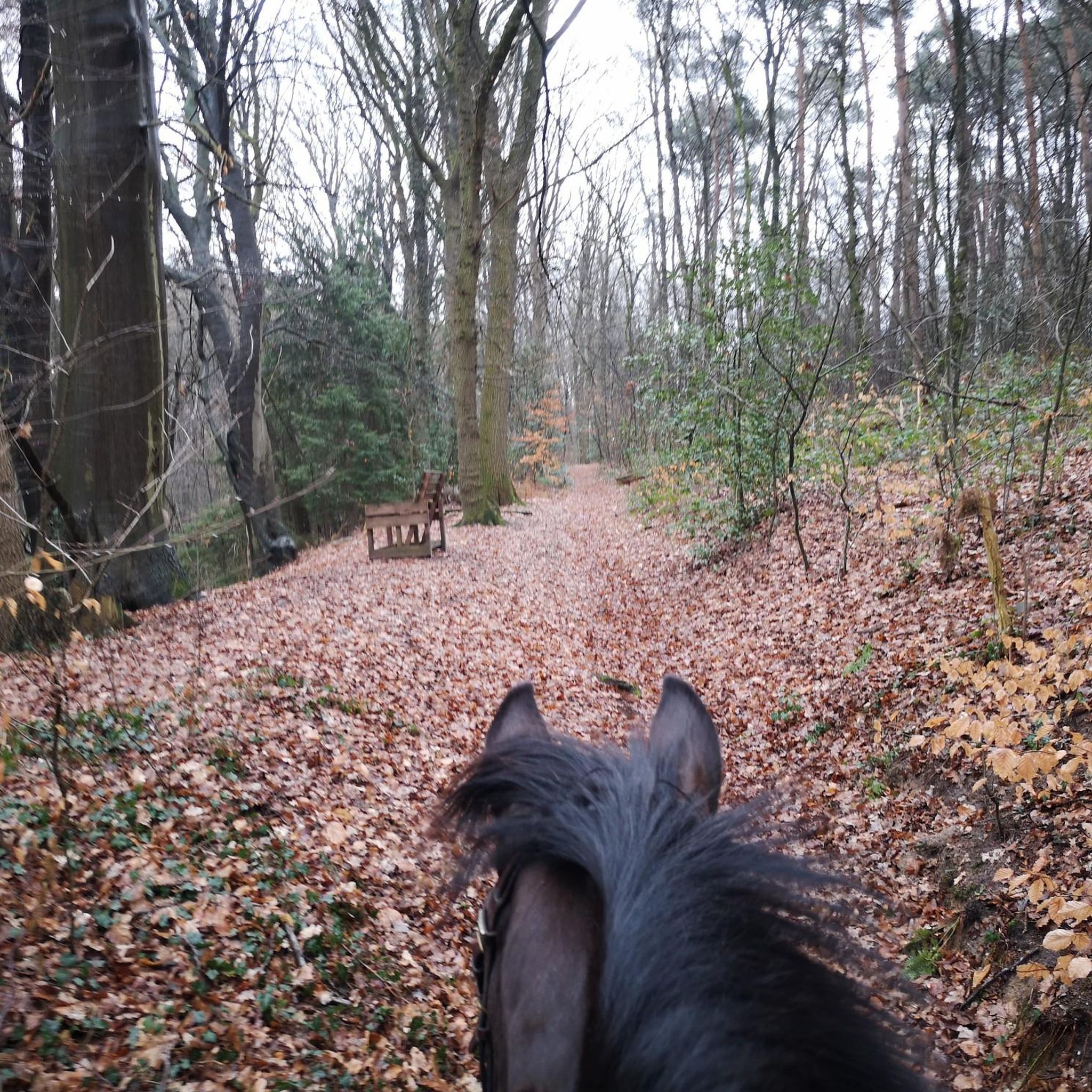
Hikes from bus stations in Quellgebiet Des Köllerbaches Zwischen Großwald Und Kirschhofer Tal
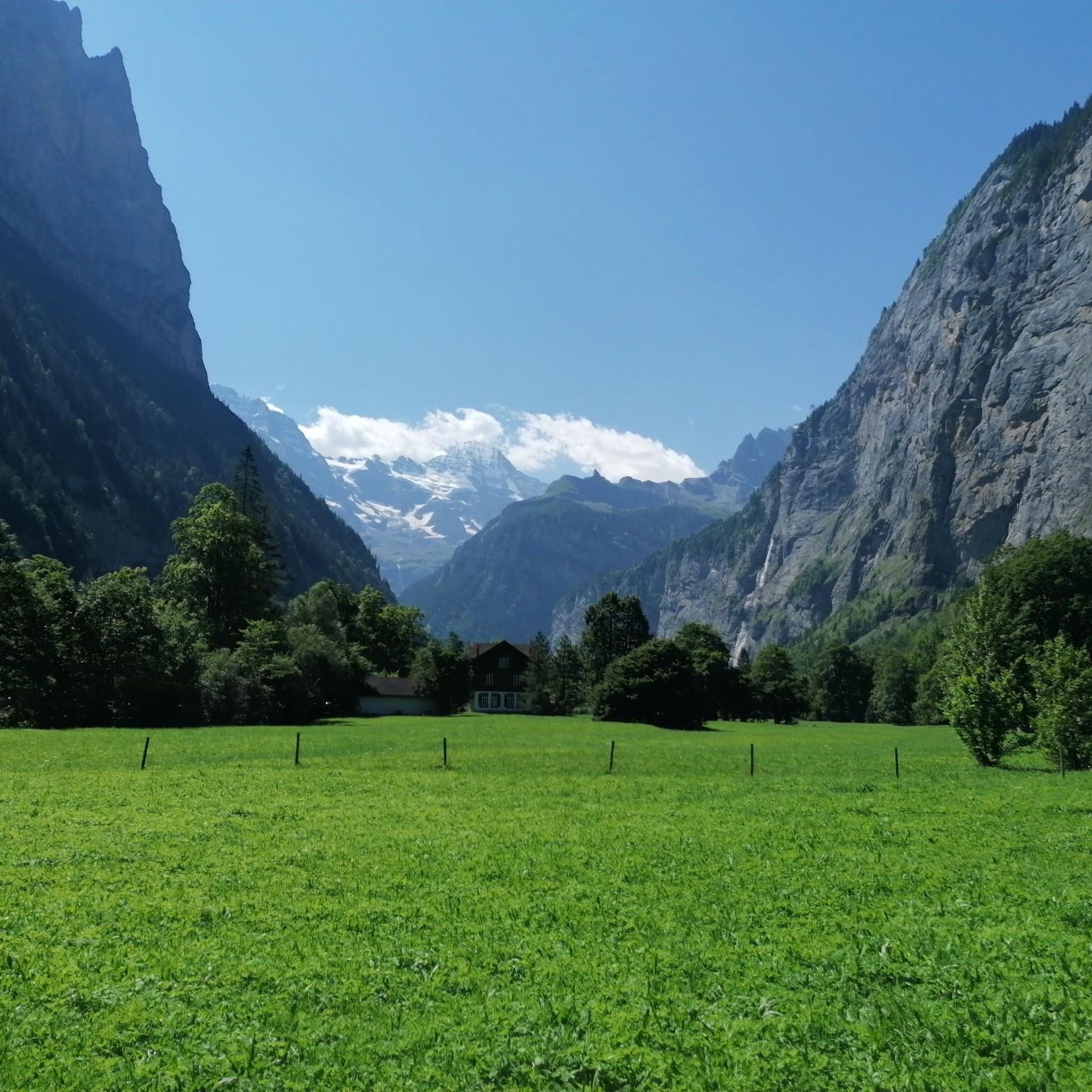
Hikes from bus stations in St. Johanner Stadtwald
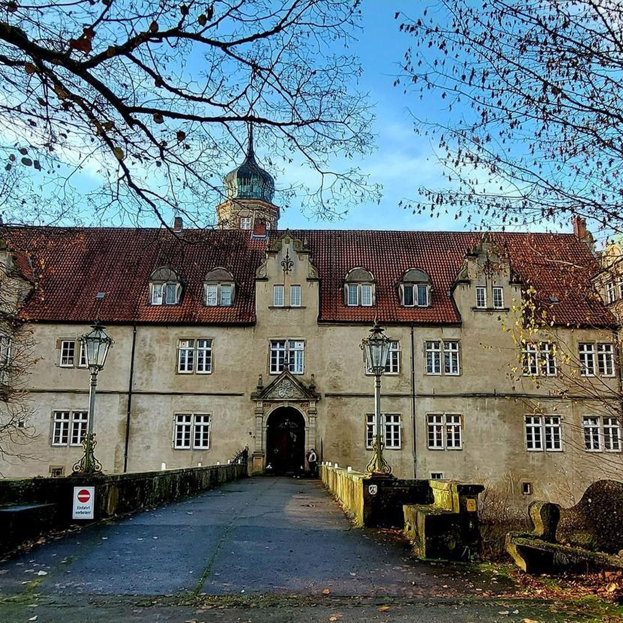
Hikes from bus stations around Völklingen
Other adventures around Regionalverband Saarbrücken


Tips from the Community

Everything is dry here
0
0

Beautiful hiking trail, easy to walk
0
0

Idyllically situated among the trees, the Mühlenwaldweiher pond with its narrow wooden walkway invites you to take a short break. In summer, the water's surface is often covered with water lilies, while dragonflies and waterfowl enliven the scene. A perfect place to enjoy the tranquility of nature. 💡 Tip: It's best to visit early in the morning or late in the afternoon – this is when the trees are reflected particularly beautifully in the water, and the light creates a peaceful atmosphere.
0
0

nice spot only the bench there is in need of repair
0
0
beautiful nature
1
0

The idyllic pond in the forest invites you to linger. There's a playground for the little ones.
2
0
Frequently Asked Questions
How many bus-accessible hiking trails are there in Regionalverband Saarbrücken?
Regionalverband Saarbrücken offers a vast network of hiking trails easily accessible by bus. There are over 1100 routes available, catering to various preferences and skill levels. Many of these trails are designed to start and end conveniently near bus stops, making public transport an excellent option for your outdoor adventures.
What makes hiking from bus stations in Regionalverband Saarbrücken unique?
Hiking from bus stations in Regionalverband Saarbrücken allows you to explore the region's diverse landscapes without needing a car. You can immerse yourself in lush forests, rolling hills, and scenic river valleys, including the Saar and Blies rivers. This approach offers a sustainable and convenient way to discover both natural beauty and cultural highlights, often leading to unique, less-traveled paths.
What is the best time of year to hike in Regionalverband Saarbrücken using public transport?
The region is beautiful year-round. Spring brings blooming meadows and fresh greenery, while autumn offers stunning foliage in the extensive forest areas. Summer is ideal for enjoying the river valleys and shaded woodlands. Even in winter, many trails remain accessible, offering a peaceful, crisp hiking experience. Always check local bus schedules, especially on weekends and holidays, as they might vary seasonally.
What do other hikers say about the trails in Regionalverband Saarbrücken?
The komoot community highly rates the trails in Regionalverband Saarbrücken, with an average score of 4.5 stars from over 9,400 ratings. Hikers frequently praise the well-marked paths, the tranquility of the woodlands, and the variety of landscapes, from riverbanks to historical sites, all easily reachable by public transport.
Are there easy bus-accessible hikes suitable for beginners or families?
Yes, there are over 800 easy routes accessible by bus, perfect for beginners or families. These trails often feature gentle terrain and shorter distances. For example, the Matz and Greth Sculpture – The Matz Bench loop from Brennender Berg is an easy 7.4 km hike that offers a pleasant outing for all ages.
Can I find longer, more challenging routes accessible by bus?
Absolutely. The region offers over 360 moderate and 13 difficult routes that can be reached by bus. These trails often feature more significant elevation changes and longer distances, providing a rewarding challenge. The Blies-Grenz-Weg, for instance, is a moderate 15.7 km route that takes you through varied terrain and offers a great day out.
Are there circular routes that start and end at a bus station?
Many bus-accessible trails in Regionalverband Saarbrücken are circular, allowing you to conveniently return to your starting point without needing to arrange separate transport. An excellent example is the Weiherbach Natural Wetland – Blauer Weiher loop from Friedrichsthal, a moderate 10 km route that brings you back to where you began.
What kind of natural features or landmarks can I expect to see on these trails?
The bus-accessible trails often lead through diverse natural settings and past interesting landmarks. You can explore extensive forests, tranquil riverbanks along the Saar and Blies, and idyllic ponds like the Tabak Pond. Some routes also pass by historical sites such as the Saarbrücken Palace Square or the Karlsbrunn Hunting Lodge. The Saar-Alpakas Farm – Tabak Pond loop from Saarbrücken is a great option to experience both nature and unique local attractions.
Are there any trails that offer scenic viewpoints or unique natural formations?
Yes, the region is known for its scenic vistas and interesting natural features. The Bliesgau Biosphere, for example, offers panoramic views from the Höcherbergturm and showcases distinctive Buntsandstein rock formations. Trails often wind through varied terrain, providing opportunities to discover hidden gems and picturesque spots. The Frohnwald Hut – Bridge in Mäusbachtal loop from Riegelsberg offers beautiful forest scenery and charming bridges.
Can I bring my dog on these bus-accessible trails?
Many trails in Regionalverband Saarbrücken are dog-friendly, allowing you to enjoy the outdoors with your canine companion. However, it's always advisable to keep your dog on a leash, especially in nature reserves or areas with wildlife. Also, check specific bus company regulations regarding pets before your journey to ensure a smooth trip for both of you.
Most popular routes around Regionalverband Saarbrücken
Most popular attractions around Regionalverband Saarbrücken

Get inspired with the komoot mobile app


Didn’t find what you were looking for?
Check out more Hikes throughout Regionalverband Saarbrücken below and find the perfect route in your destination.
Explore more
Browse the best Hikes in other regions.
