The best running trails around Regionalverband Saarbrücken
4.4
(1596)
28,014
runners
764
runs
Jogging around Regionalverband Saarbrücken offers diverse landscapes, from riverbanks to extensive forests and varied topography. The region is characterized by the Saar River, providing flat routes along its banks, and numerous forested areas like the Saarbrücken Wildlife Park and Primeval Forest. Joggers can find paths ranging from easy, paved sections to more challenging trails with ascents through hillsides and woodlands. This geographical diversity includes parts of the central Saar Valley, the Warndt, and the Saar-Nahe Uplands.
Best jogging routes around Regionalverband Saarbrücken
- The most popular jogging route is Saar Riverbank – Bismarck Bridge loop from Saarbrücken Ost, a 5.8 miles (9.3 km) trail that takes 59 minutes to complete. This moderate route follows the scenic Saar River.
- Another top favourite among local runners is Old Bridge Brebach–St. Arnual – Güdingen Lock loop from Güdingen, a moderate 6.8 miles (11.0 km) path. This route offers views along the Saar River, passing the Güdingen Lock.
- Local runners also love the Saarbrücken Wildlife Park – Forest Trail loop from Saarland University, a 6.5 miles (10.5 km) trail leading through forested areas and the Wildlife Park, often completed in about 1 hour 8 minutes.
- Jogging around Regionalverband Saarbrücken is defined by river landscapes, extensive forests, and varied topography. The network offers options for different ability levels, from easy riverside paths to more demanding forest trails.
- The routes in Regionalverband Saarbrücken are highly rated by the komoot community with an average score of 4.4 stars from over 1300 reviews. More than 23000 runners have used komoot to explore Regionalverband Saarbrücken's varied terrain.
Last updated: October 8, 2026
4.4
(53)
1,488
runners
Moderate run. Good fitness required. Mostly paved surfaces. Suitable for all skill levels.
4.3
(40)
1,175
runners
Moderate run. Good fitness required. Mostly paved surfaces. Suitable for all skill levels.

4.3
(41)
622
runners
Moderate run. Good fitness required. Mostly paved surfaces. Suitable for all skill levels.
4.7
(31)
537
runners
10.6km
01:09
150m
150m
Moderate run. Good fitness required. Mostly paved surfaces. Suitable for all skill levels.
3.8
(12)
728
runners
12.3km
01:18
50m
50m
Moderate run. Good fitness required. Mostly paved surfaces. Suitable for all skill levels.
4.9
(9)
393
runners
28.9km
03:19
670m
670m
Hard run. Very good fitness required. Mostly paved surfaces. Suitable for all skill levels.
4.3
(21)
441
runners
Moderate run. Good fitness required. Mostly paved surfaces. Suitable for all skill levels.
4.2
(47)
1,133
runners
Moderate run. Good fitness required. Mostly paved surfaces. Suitable for all skill levels.
4.5
(15)
257
runners
Moderate run. Good fitness required. Mostly paved surfaces. Suitable for all skill levels.
4.6
(17)
262
runners
12.1km
01:22
260m
260m
Moderate run. Good fitness required. Mostly paved surfaces. Suitable for all skill levels.
Get access to more routes and recommendations from other explorers.
Already have an account?
Our route recommendations are based on thousands of hikes, rides, and runs completed by other people on komoot.
Start today with a free account
Your next adventure awaits.
Popular around Regionalverband Saarbrücken
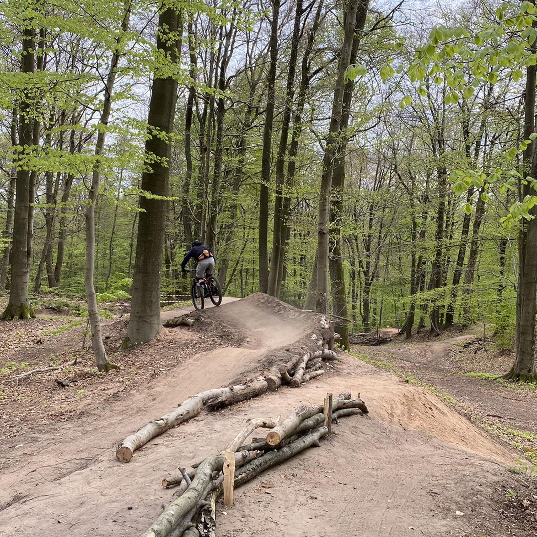
Running Trails in St. Johanner Stadtwald
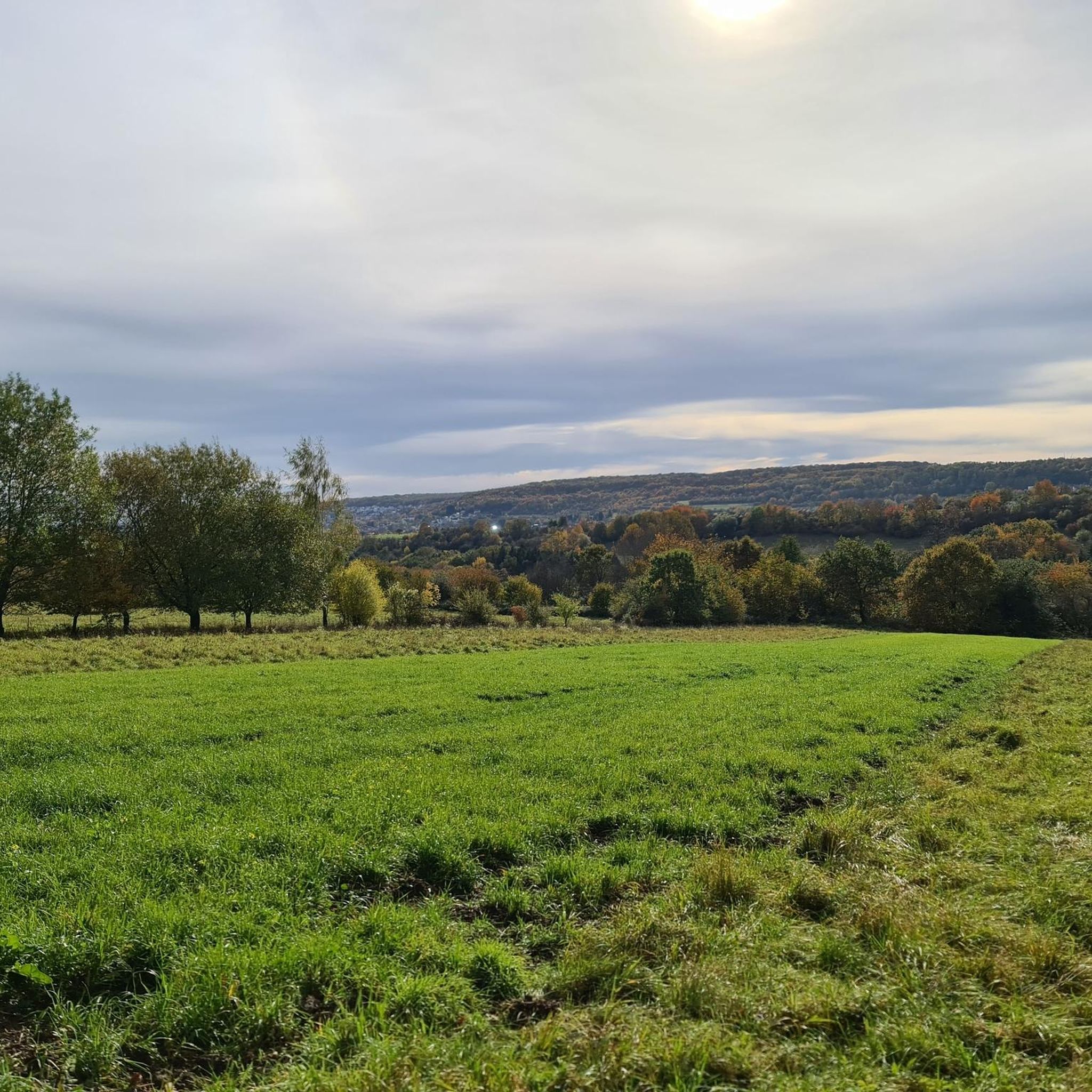
Running Trails in St. Arnualer Stiftswald
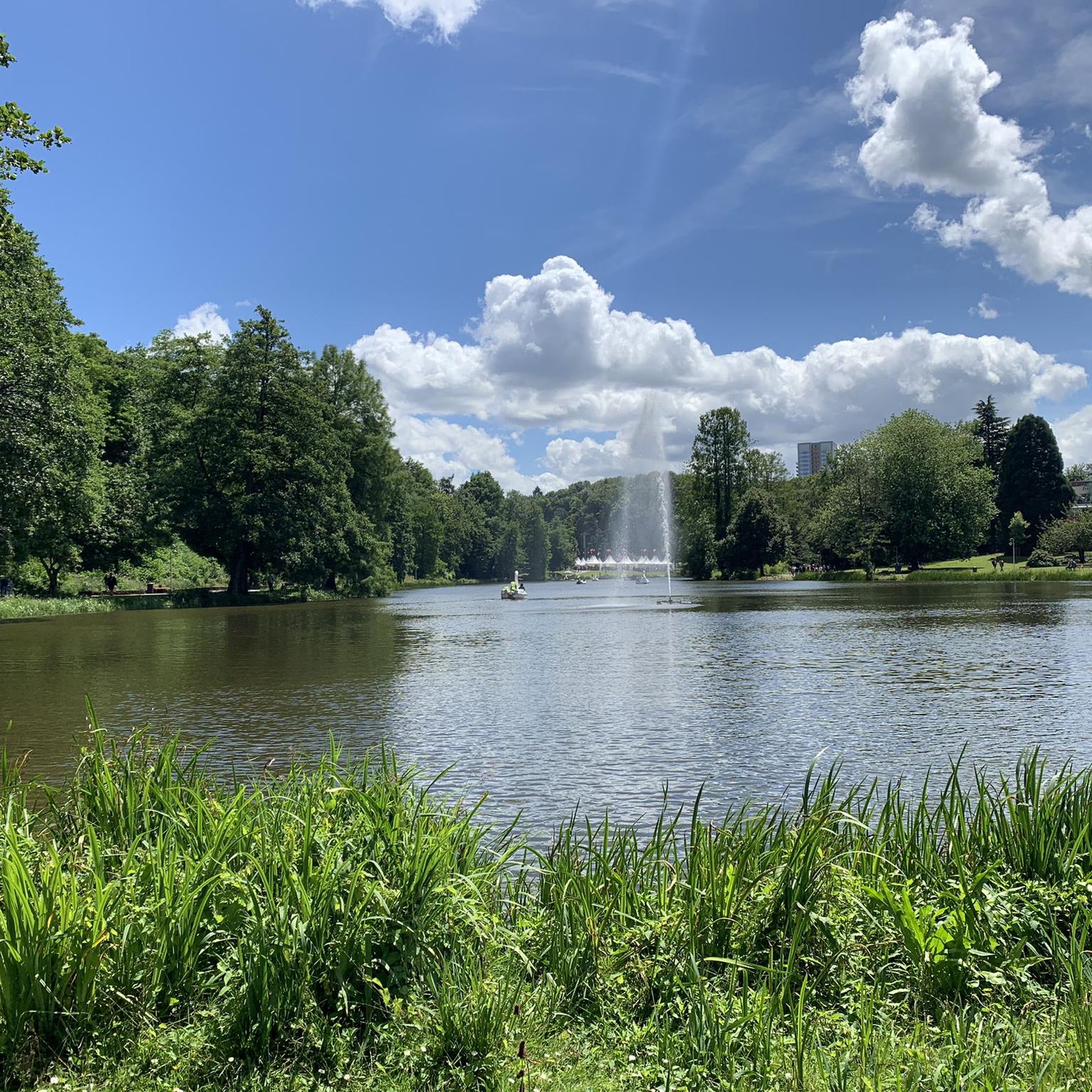
Running Trails in Alt-Saarbrücker Stadtwald
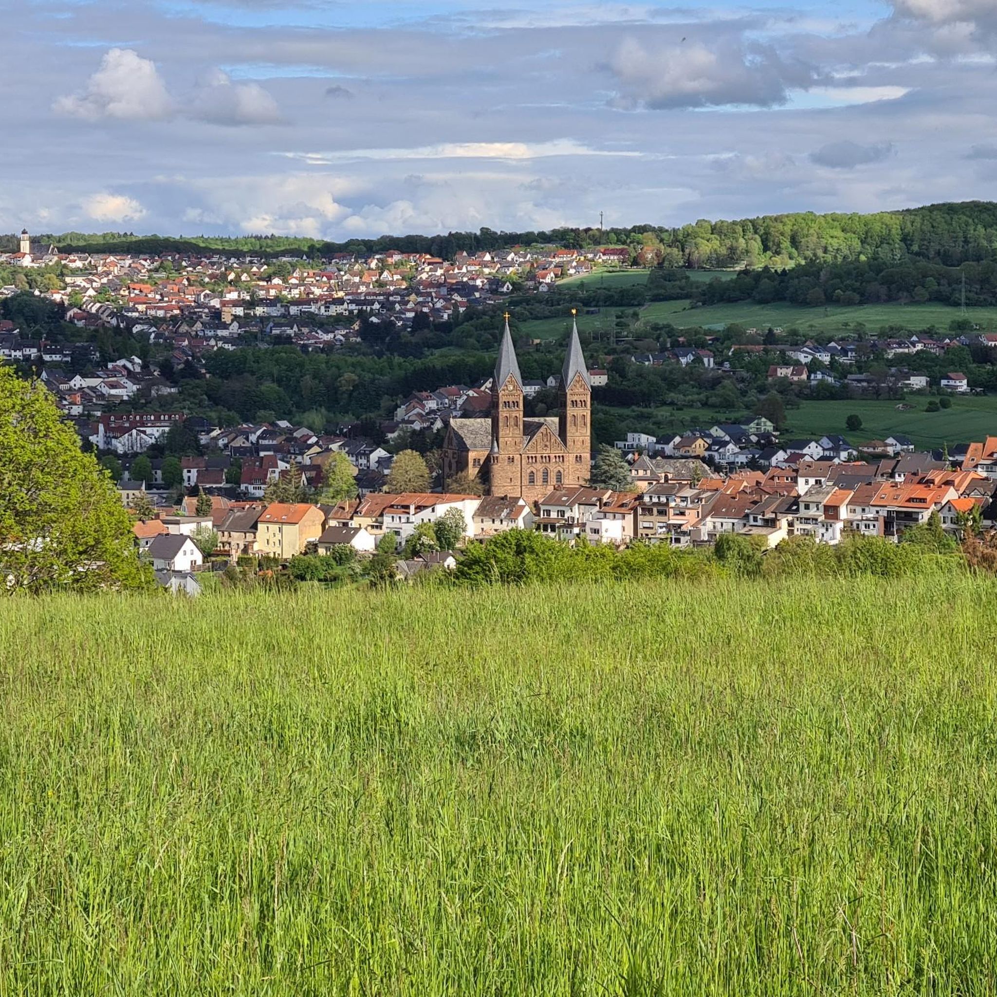
Running Trails around Püttlingen
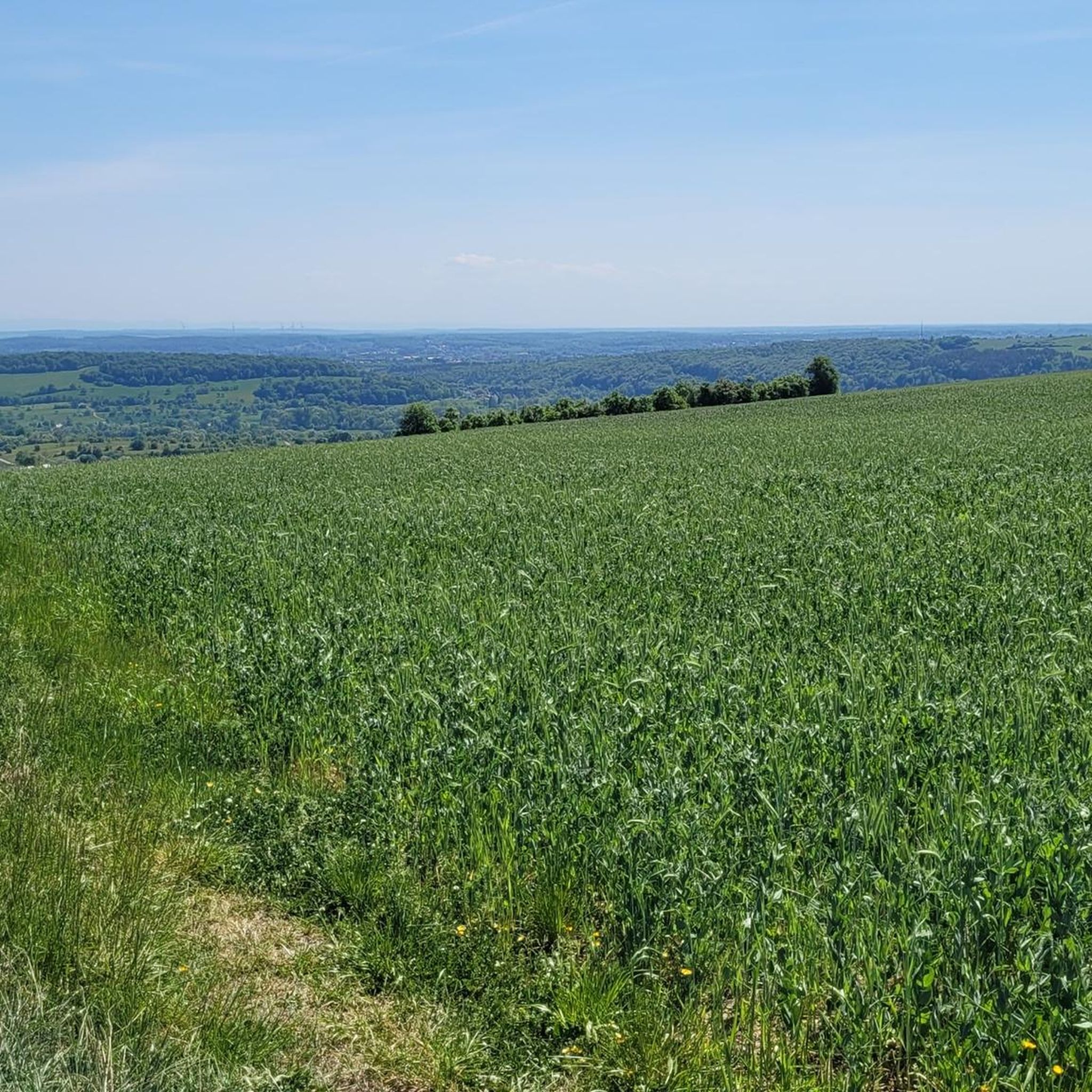
Running Trails around Kleinblittersdorf
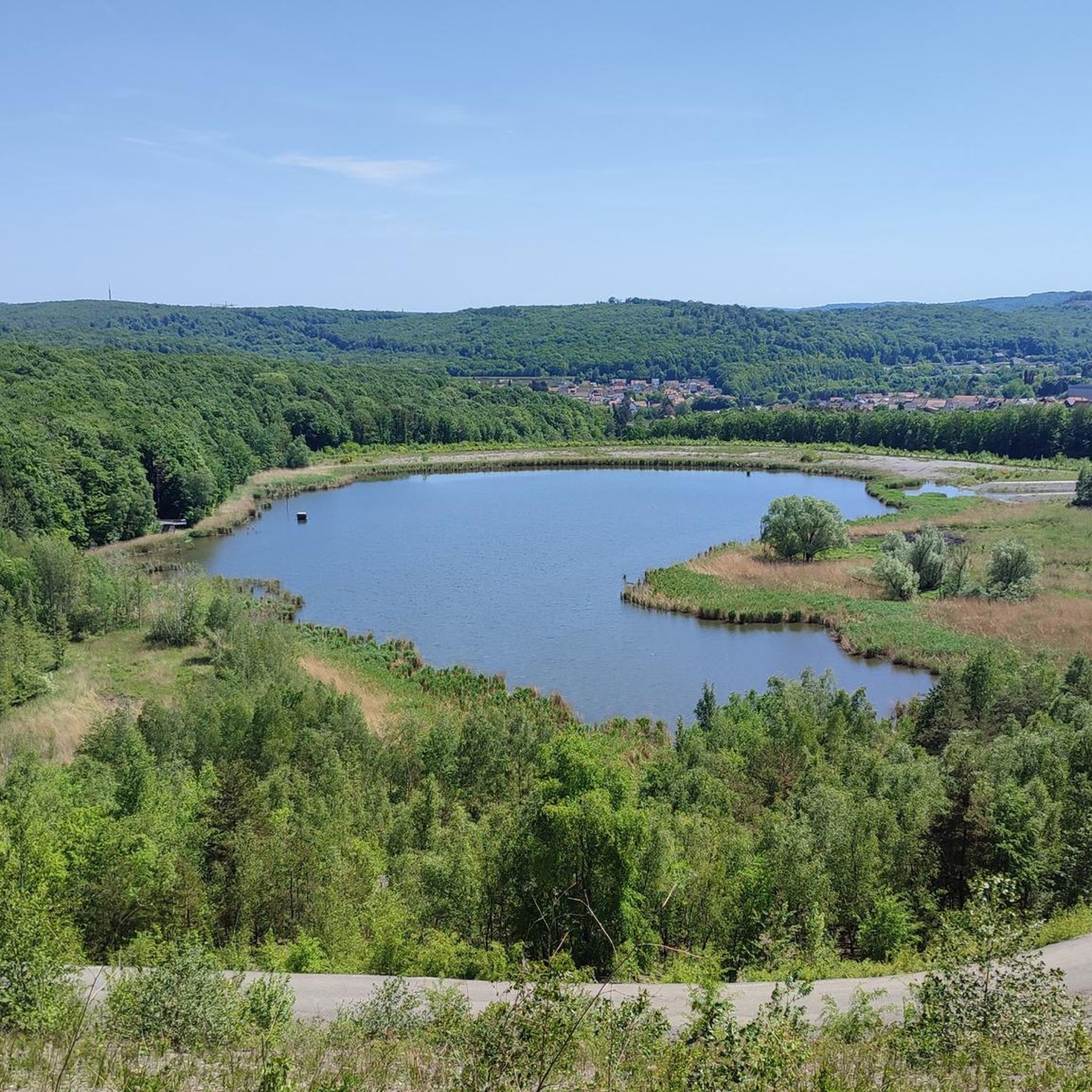
Running Trails around Quierschied
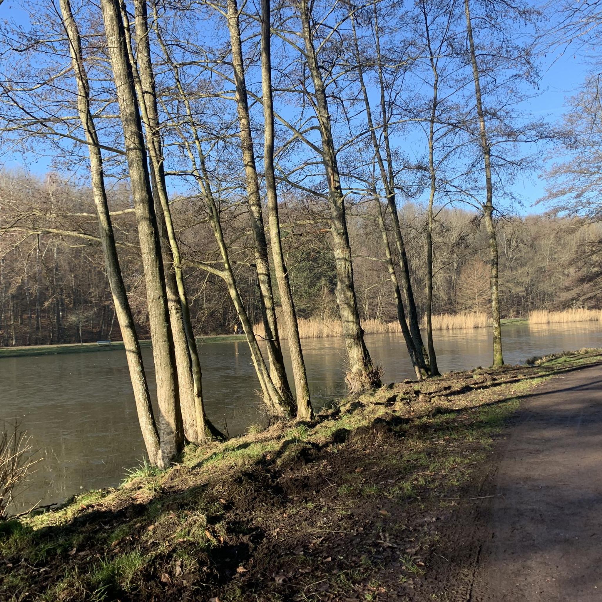
Running Trails in Staatsforst Völklingen
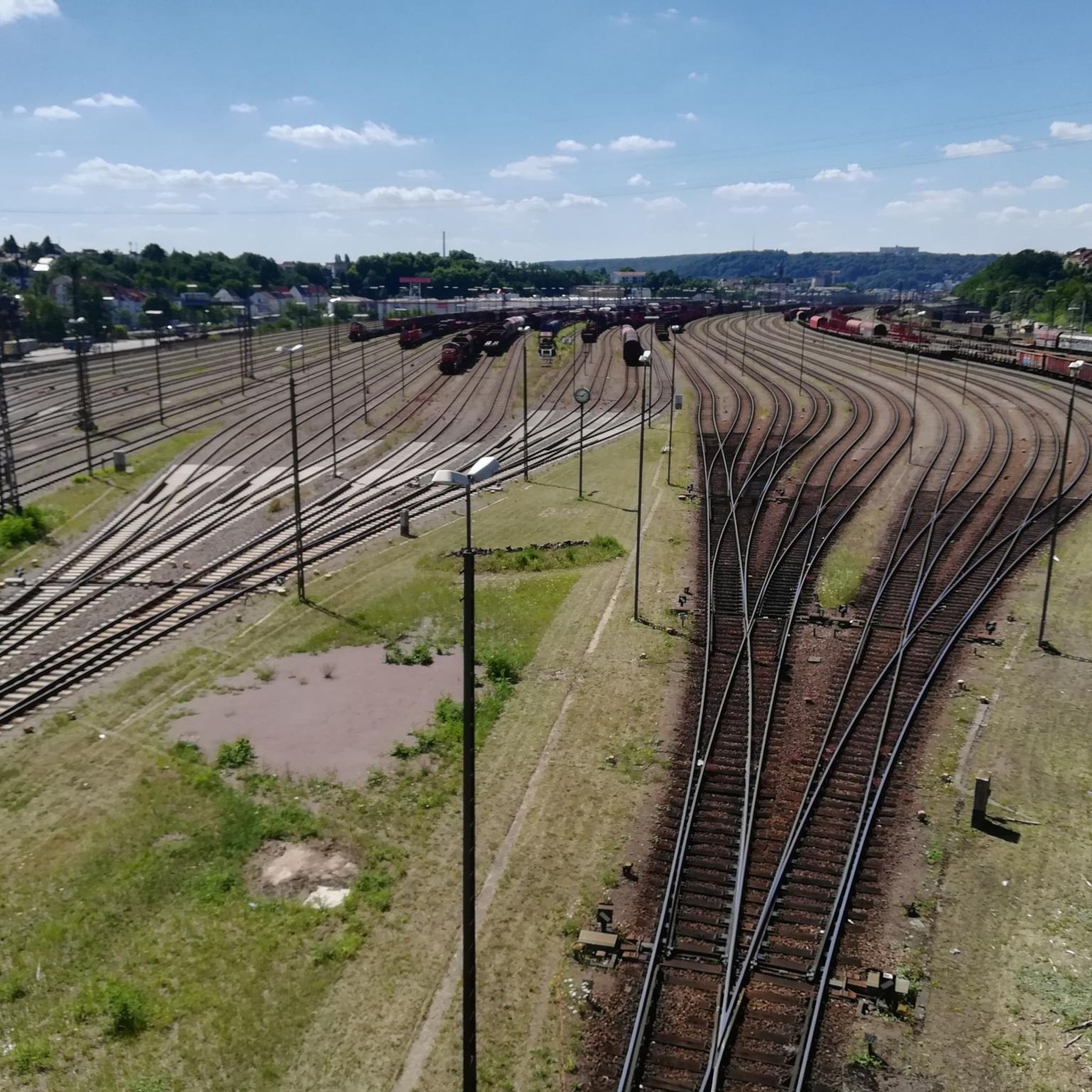
Running Trails in Staatsforst Saarbrücken
Running Trails in Gemeindewald Auersmacher - Bliesbogen
Running Trails around Völklingen
Other adventures around Regionalverband Saarbrücken


Tips from the Community

Three circular routes lead through the approximately 17-hectare wildlife park. Around 120 different animal species can be admired, including deer, roe deer, goats, and wild boars, as well as European bison and lynx, for example. Admission is free.
0
0
Beautiful beer garden in the wildlife park. You can sit under the trees of the city forest and enjoy coffee and cake or an ice cream. A playground is located next door. Open on summer weekends until 7 p.m., otherwise until 6 p.m.
0
0

The flowers speak for the city, pretty
0
0
The Bismarckbrücke was built between 1913 and 1915 according to plans by Paul Meissner.
0
0

The Saar (French Sarre, Latin Saravus, Luxembourgish Saar) is a river flowing approximately northward in Alsace and Lorraine, as well as in the German states of Saarland and Rhineland-Palatinate. With a flow distance of 235 kilometers, it is the longest tributary of the Moselle; its catchment area covers 7431 square kilometers, which is about three times the area of Saarland (2569.69 km²). See: https://de.wikipedia.org/wiki/Saar
1
0

Beautiful cycle path, but can be a bit uneven due to roots 🚴🏻
0
0


Very close by is the Hotel Fährhaus on the one-way street "Zur alten Fähre" (signposted from the bridge). It offers a very quiet and affordable stay with free parking and very friendly hosts. From there, the best way to reach Saarbrücken city center (approx. 6 km) is to cross this bridge and take the Saar Cycle Path on the left bank of the Saar River (car-free). On the right bank, the route is a bit longer and more circuitous, going around the marina.
0
0
Frequently Asked Questions
How many running routes are available in Regionalverband Saarbrücken?
The Regionalverband Saarbrücken offers a vast network of over 700 running routes, catering to various fitness levels. You'll find everything from easy riverside paths to more challenging forest trails.
Are there easy running routes suitable for beginners or casual joggers?
Yes, the region has many easy running options. For instance, the Mural of Two Figures Kissing – Saarbrücken Sign loop from St. Johann is an easy 3.8 km route, perfect for a relaxed run. Many paths along the Saar River are also relatively flat and well-suited for beginners.
What kind of terrain can I expect on the jogging paths in Regionalverband Saarbrücken?
You'll encounter a diverse range of terrain. The region features flat, paved river paths along the Saar, extensive forest trails through areas like the Saarbrücken Wildlife Park and the Saarbrücken Primeval Forest, and more challenging routes with ascents and descents through hillsides in the Saar-Nahe Uplands. This variety ensures options for all preferences.
Are there any running routes that offer scenic views or pass by interesting landmarks?
Absolutely! Many routes provide scenic views, especially those along the Saar River. For landmarks, consider routes near the city center. You might pass by historical sites like the Saarbrücken Castle or the Saarbrücken Palace Square. The Old Bridge Brebach–St. Arnual – Güdingen Lock loop from Güdingen offers views along the Saar River, passing the Güdingen Lock.
Can I find running trails that are suitable for families with children?
Yes, several parks and green spaces offer family-friendly running environments. The Franco-German Gardens, with its network of pathways around the Deutschmühlenweiher lake, is a great option. The Saarbrücken Wildlife Park also has forest trails that can be enjoyed by families, offering a chance to see animals.
Are there any dog-friendly running routes in the area?
Many of the natural forest paths and riverbank trails are suitable for running with dogs, provided they are kept on a leash where required. Extensive forested areas like the Staatsforst Saarbrücken and parts of the Warndt Forest offer plenty of space for you and your canine companion to enjoy a run.
What do other runners say about the jogging routes in Regionalverband Saarbrücken?
The running routes in Regionalverband Saarbrücken are highly rated by the komoot community, with an average score of 4.4 stars from over 1300 reviews. Runners often praise the diverse landscapes, from tranquil riverbanks to shaded forest paths, and the well-maintained nature of the trails.
Are there any challenging running routes for experienced runners?
For experienced runners seeking a challenge, the region offers more demanding trails with significant elevation gain. An example is the Start of the Hartfüssler Trail – Netzbach Trail loop from Von der Heydt, a difficult 29.1 km route with over 670 meters of elevation gain, providing a rigorous workout.
Are there circular running routes available?
Yes, many routes in the Regionalverband Saarbrücken are designed as loops, allowing you to start and finish at the same point. Popular examples include the Saar Riverbank – Bismarck Bridge loop from Saarbrücken Ost and the Saarbrücken Wildlife Park – Forest Trail loop from Saarland University.
How can I access the running trails, especially regarding parking and public transport?
Many running routes are accessible by public transport, particularly those within or close to Saarbrücken city center. For routes further afield, parking is often available near trailheads or in nearby villages. The region is generally well-connected, making it convenient to reach starting points for your run.
Are there any nature reserves or unique natural features to explore while running?
The Regionalverband Saarbrücken is home to 12 nature reserves, offering tranquil environments. You can experience dense, untouched woodland in the Saarbrücken Primeval Forest (Urwald vor den Toren der Stadt) or explore trails through the Staatsforst Saarbrücken, which includes areas like the Hohlenwald Primeval Forest.
Can I find places to stop for refreshments near the running routes?
Yes, especially along the Saar Riverbanks and in areas close to towns like Saarbrücken, you'll find cafes and pubs. The Staden Park, for example, is a popular spot along the river that offers opportunities for breaks and refreshments.
Most popular routes around Regionalverband Saarbrücken
Most popular attractions around Regionalverband Saarbrücken

Get inspired with the komoot mobile app


Didn’t find what you were looking for?
Check out more Running Trails & Routes throughout Regionalverband Saarbrücken below and find the perfect route in your destination.
Explore more
Browse the best Running Trails & Routes in other regions.
