The best hikes from bus stations in the Franconian Forest
4.6
(20557)
74,302
hikers
2,002
hikes
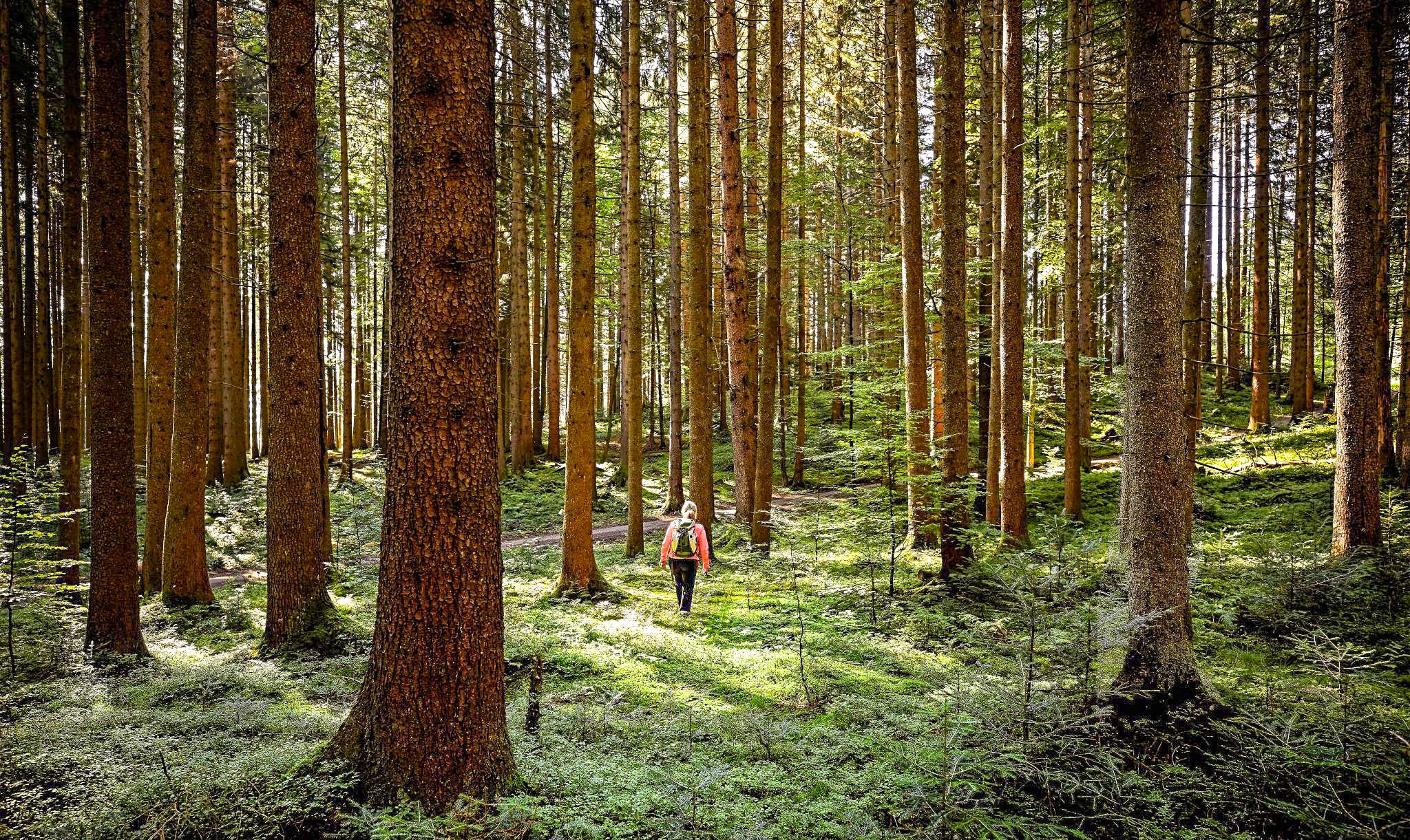
Hiking in the Franconian Forest offers diverse natural landscapes characterized by extensive evergreen and mixed forests covering rolling hills. The region features deeply carved valleys with meadows and clear rivers, along with mountain plateaus providing panoramic views. It lies along the watershed between the Main and Saale basins, with several tributaries rising within its bounds.
Best bus station hiking trails in the Franconian Forest
- The most popular bus station hiking route is Circular trail in Mitwitz Forest - hiking along…
Last updated: July 9, 2026
4.7
(102)
377
hikers
10.3km
02:49
160m
160m
Moderate hike. Good fitness required. Easily-accessible paths. Suitable for all skill levels.
4.6
(75)
211
hikers
8.42km
02:13
70m
70m
Moderate hike. Good fitness required. Easily-accessible paths. Suitable for all skill levels.

Sign up for free
4.9
(781)
2,570
hikers
Moderate hike. Good fitness required. Easily-accessible paths. Suitable for all skill levels.
4.4
(10)
37
hikers
16.4km
04:45
360m
420m
Moderate hike. Good fitness required. Mostly accessible paths. Sure-footedness required.
4.1
(7)
13
hikers
14.5km
03:59
240m
240m
Moderate hike. Good fitness required. Easily-accessible paths. Suitable for all skill levels.
Get access to more routes and recommendations from other explorers.
Sign up for free
Already have an account?
Our route recommendations are based on thousands of hikes, rides, and runs completed by other people on komoot.
Start today with a free account
Your next adventure awaits.
Login or Signup
Popular around Franconian Forest

Nature, the outdoors and adventure – hiking through the VGN's nature parks

Thousands of kilometres of hiking fun – long-distance hiking trails in Bavaria

Wonderful Green Band
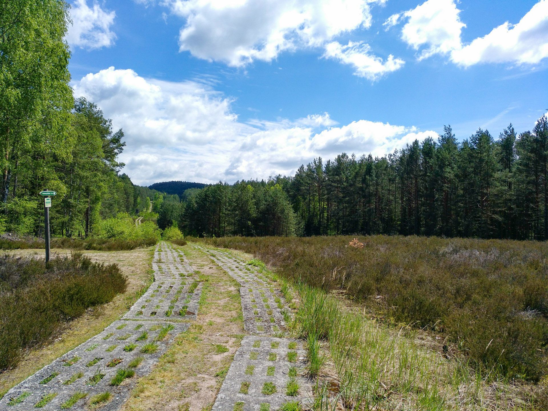
Discover the Green Belt in Germany’s Thuringian Slate Mountains with BUND

The Franconian Trail – A Diverse Hiking Dream Across 24 Stages
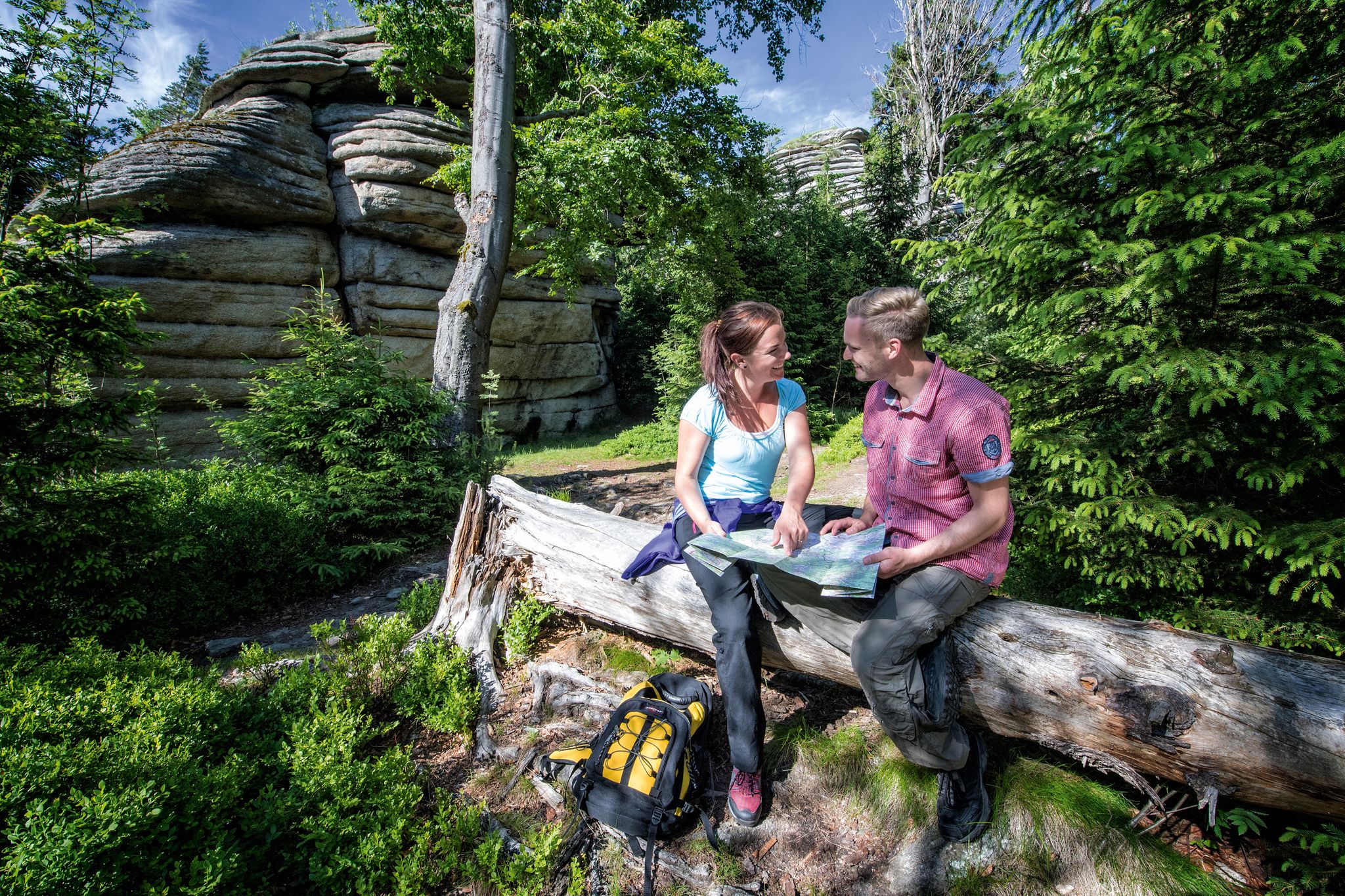
The Franconian Mountain Trail – 21 Stages of Magical Summit Bliss
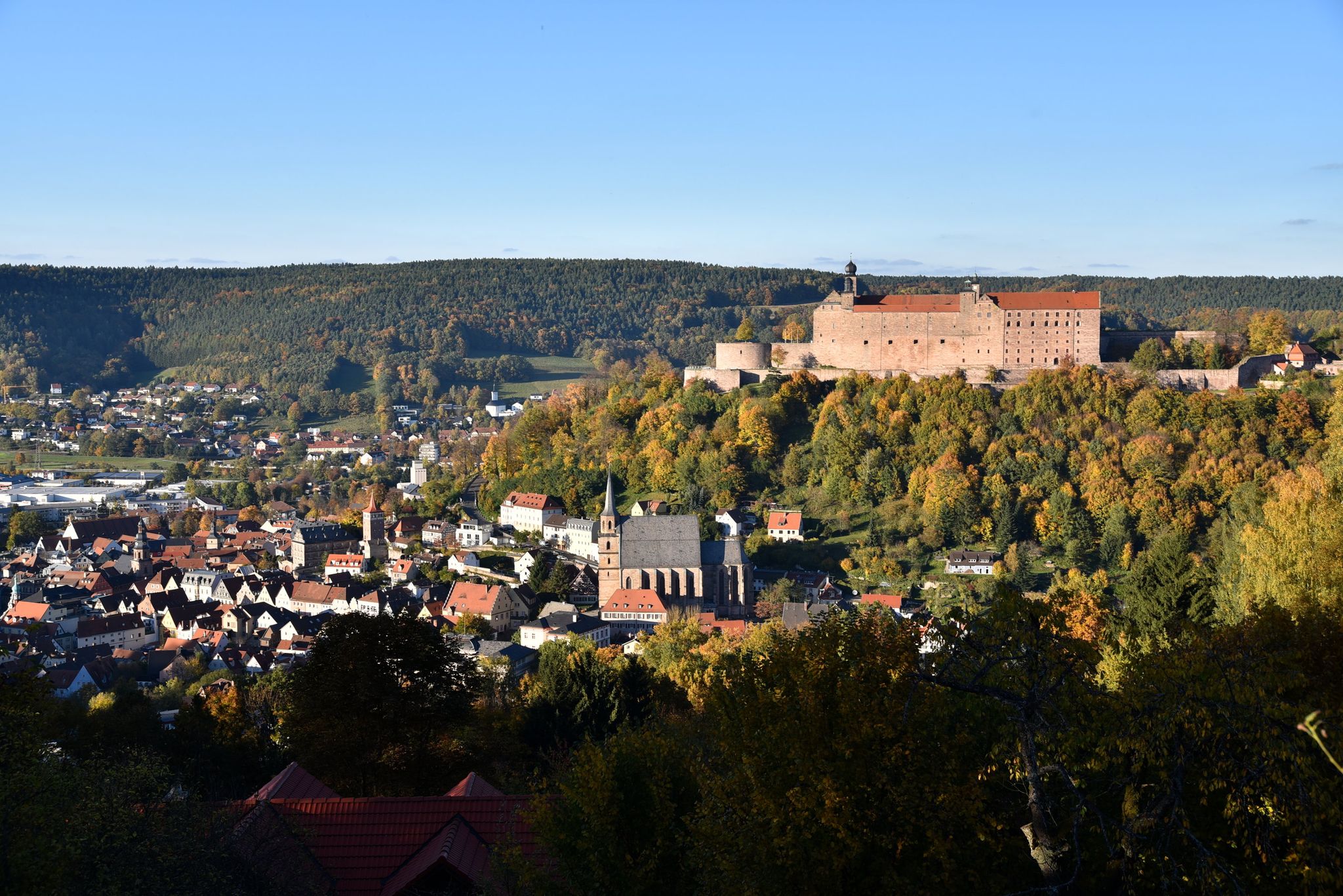
Stop by at the Margraves – hiking around Kulmbach in Bavaria
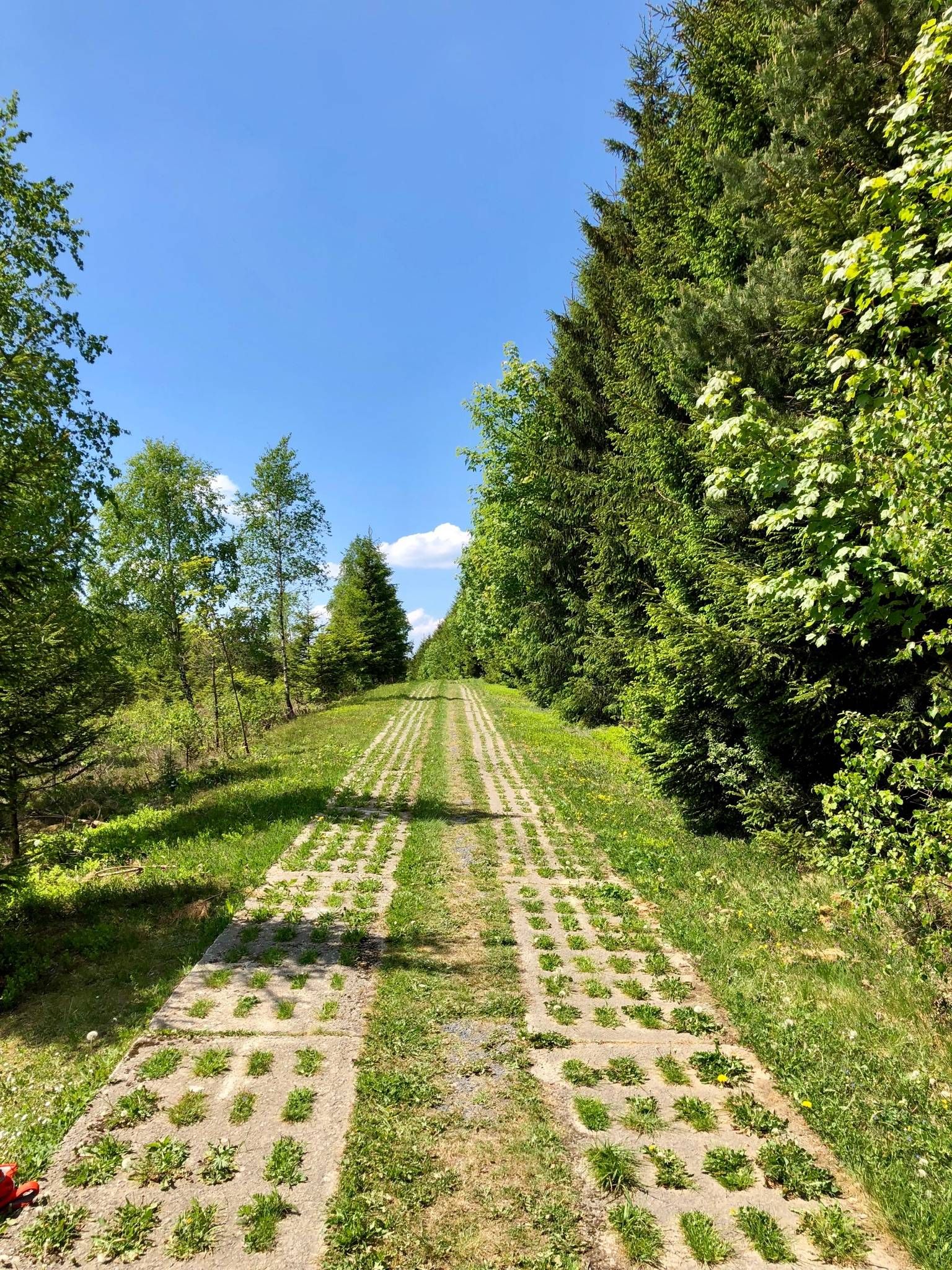
Experience history – day Tours at the Green Belt in Thuringia

Discover the nature along the “Greenbelt” together with the BUND
Active relaxation in the forests of Bavaria
Other adventures in the Franconian Forest


Tips from the Community

The shoe tree in Seifengrund is high and shoes hang from top to bottom. How did they get there? 🤔
1
0

A bench with a magnificent view awaits you here by the wayside.
1
0

The stairs make the descent to the water tower less arduous
0
0

Even larger groups of hikers can take a break at the long benches and tables. A Kneipp arm pool is available for cooling off. There's also a sky lounger here, although it doesn't offer shade.
13
0
Here you can enjoy the tranquility with a view of the pond and the Frankenwarte tower. A bench is also available.
15
0
The Seifenteich pond is an idyllic spot for hikers, walkers, and, of course, anglers. The Bad Steben health hiking trail passes by the lake.
16
0


Besides the gravel path, there is also a green strip with a lovely wooded footpath.
1
1
Frequently Asked Questions
How many bus station hiking trails are available in the Franconian Forest?
There are over 2,000 bus station hiking trails in the Franconian Forest, offering a wide variety of routes for all skill levels. This includes more than 900 easy routes, nearly 1,000 moderate routes, and over 100 difficult options.
What kind of terrain can I expect on bus-accessible hikes in the Franconian Forest?
Hikes in the Franconian Forest feature diverse terrain, from dense evergreen and mixed forests to rolling hills and deeply carved valleys with lush meadows. You'll encounter clear creeks and rivers, and some routes ascend to mountain plateaus offering panoramic views. The region is known for its tranquil, immersive natural landscapes.
Are there any family-friendly bus station hikes in the Franconian Forest?
Yes, many routes are suitable for families. The Franconian Forest offers a range of easy to moderate trails that are well-maintained. For example, the Circular trail in Mitwitz Forest - hiking along the Green Belt is a moderate 8.4 km loop with gentle elevation changes, perfect for a family outing.
Can I bring my dog on bus-accessible hiking trails in the Franconian Forest?
Most hiking trails in the Franconian Forest are dog-friendly, but it's always recommended to keep your dog on a leash, especially in nature reserves or near wildlife. Always check local regulations for specific routes. The Seifengrund Trail is a great option for a moderate walk with your canine companion.
What natural landmarks or viewpoints can I see along these bus station routes?
The Franconian Forest is rich in natural beauty. You can explore the wild and romantic 👹 Höllental (Hell Valley), known for its dramatic scenery. The König David Viewpoint offers spectacular vistas. The View of Hirschsprung Rock – Höllental (Hell Valley) loop from Lichtenberg specifically highlights a notable rock formation. The Steinach Gorge is another unique natural monument with a special microclimate.
Are there any circular bus station hikes available?
Yes, many bus-accessible routes in the Franconian Forest are circular, allowing you to start and end at the same point, often near a bus stop. Examples include the König David Viewpoint – Teufelssteg — Across the Selbitz loop from Lichtenberg, which is a moderate 6.7 km circular trail.
What do other hikers say about the bus station trails in the Franconian Forest?
The bus station trails in the Franconian Forest are highly rated by the komoot community, with an average score of 4.6 stars from over 19,000 ratings. Reviewers often praise the quiet woodlands, well-marked paths, and the immersive natural experience the region provides.
Are there any caves or historical sites accessible near bus-friendly hiking routes?
Yes, the region has several interesting sites. You can find historical mining locations like the Kupferloch Former Ore Mining Site or the Blauer Löw Mine Entrance. There's also the Güldenstein — Former settlement and rock cellar, offering a glimpse into the region's past. These are often integrated into or located near hiking routes.
What is the best time of year to hike the bus station trails in the Franconian Forest?
The Franconian Forest is beautiful year-round. Spring brings lush greenery and blooming wildflowers, while autumn offers stunning fall foliage. Summer is ideal for longer hikes, and even winter can be magical with snow-covered landscapes, though some trails might require appropriate gear. The dense forests provide shade in warmer months and a serene atmosphere in cooler seasons.
Are there any longer, more challenging bus-accessible routes for experienced hikers?
While many routes are moderate, there are options for longer and more challenging hikes. The Buchbachtal Trail - Franconian Forest Nature Park, for instance, is a moderate 14.5 km route with over 230 meters of elevation gain, providing a good workout while still being accessible by bus.
What makes the Franconian Forest unique for hiking compared to other regions?
The Franconian Forest, known as the 'Green Crown of Bavaria,' stands out for its extensive network of over 4,200 km of marked trails and its designation as Bavaria's first quality region 'Wanderbares Deutschland' (Hikeable Germany). It's characterized by a unique blend of dense forests, deeply carved valleys, and mountain plateaus, offering a quiet and immersive wilderness experience. It also lies on a significant watershed, adding to its natural diversity.
Most popular routes in the Franconian Forest
Most popular attractions in the Franconian Forest

Get inspired with the komoot mobile app


Explore more
Browse the best Hikes in other regions.
