The best hikes from bus stations in Böhmerwald
4.6
(7542)
38,005
hikers
11
hikes
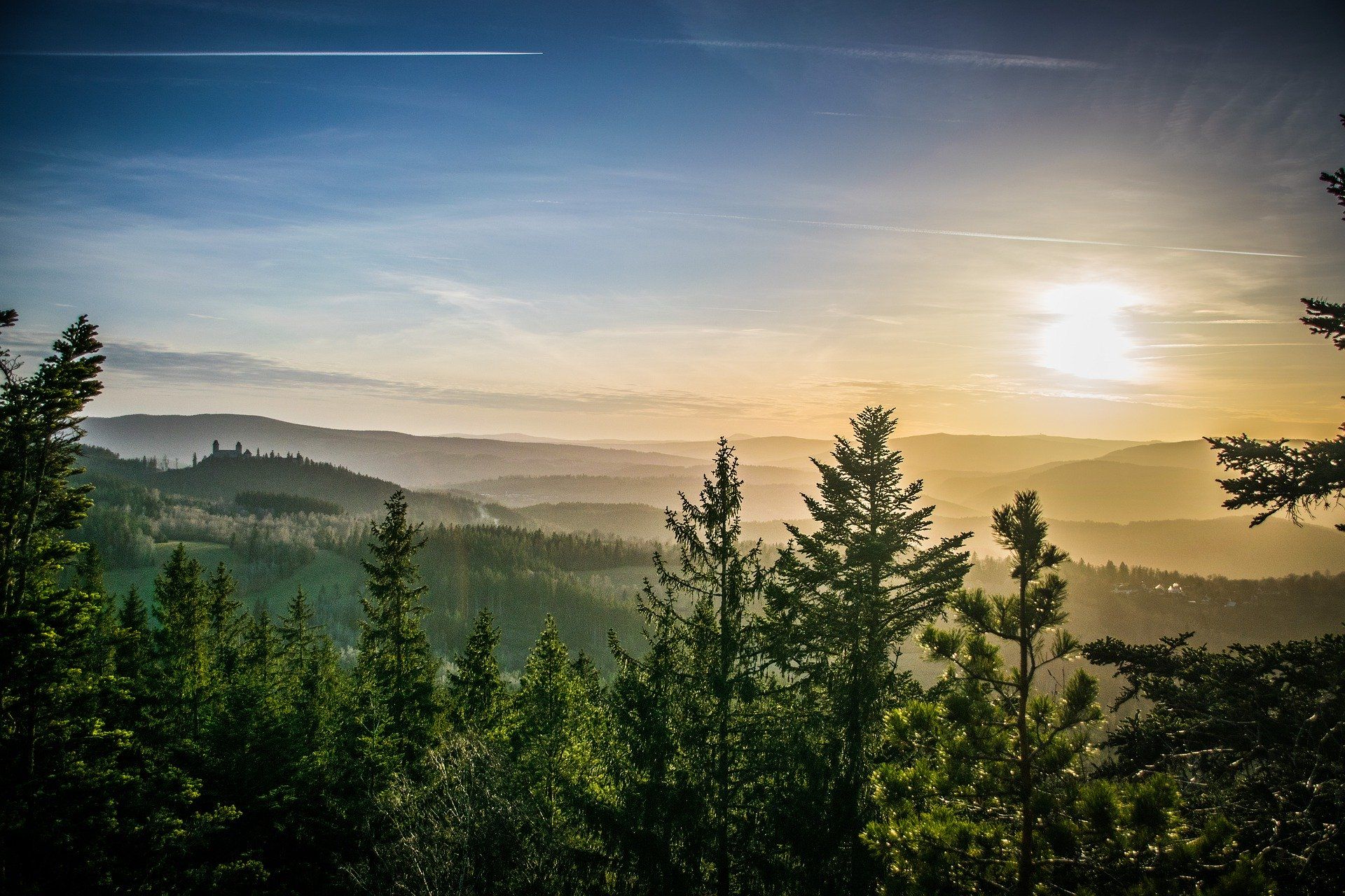
Bus station hiking trails in Böhmerwald traverse a low mountain range characterized by rolling hills, dense forests, and numerous clear lakes. The region, also known as the Bohemian Forest or Šumava, features impressive mountain peaks like Großer Arber and Plöckenstein, alongside extensive moorlands and ancient forest areas. Hikers can explore diverse landscapes, from glacial lakes to river valleys and unique rock formations.
Best bus station hiking trails in Böhmerwald
- The most popular bus station hiking route is Skiarena Hochficht –…
Last updated: July 7, 2026
4.7
(62)
292
hikers
12.7km
04:18
490m
490m
Hard hike. Good fitness required. Sure-footedness, sturdy shoes and alpine experience required.
5.0
(9)
70
hikers
15.2km
05:45
680m
680m
Hard hike. Very good fitness required. Sure-footedness, sturdy shoes and alpine experience required.

Sign up for free
5.0
(2)
25
hikers
11.1km
03:03
170m
170m
Moderate hike. Good fitness required. Easily-accessible paths. Suitable for all skill levels.
4.8
(4)
20
hikers
15.2km
04:24
380m
380m
Moderate hike. Good fitness required. Easily-accessible paths. Suitable for all skill levels.
11
hikers
6.91km
01:58
160m
160m
Easy hike. Great for any fitness level. Easily-accessible paths. Suitable for all skill levels.
Get access to more routes and recommendations from other explorers.
Sign up for free
Already have an account?
Our route recommendations are based on thousands of hikes, rides, and runs completed by other people on komoot.
Start today with a free account
Your next adventure awaits.
Login or Signup


Other adventures in Böhmerwald


Tips from the Community

Beautiful viewpoint with great long-distance views of the Lipno Reservoir.
0
0
Beautiful panorama of the Plöckensteiner See and the Lipno Reservoir in the distance.
0
0
Great trail on the way to Plöckensteiner See with worthwhile panoramas.
0
0

At Gasthaus Mülleder in Klaffer, you'll find classic Austrian tavern cuisine with generous portions and a cozy atmosphere. After the climbs around the Bohemian Forest, it's the perfect place for a hearty meal. https://www.muehlviertel.at/essen-trinken/gastronomie/oesterreich-gastronomie/detail/102824/gasthaus-muelleder-schnitzelwirt.html
0
0
Located right next to the Reischlbergbahn's mid-station is this charming inn with its cozy rooms, tiled stove, and sun terrace. Here you'll find regional delicacies like roast pork in a pan and freshly tapped Schlägler beer – the perfect spot for a relaxing break on the Hochficht mountain. https://www.facebook.com/p/Gasthaus-zum-Überleben-100063895216294/
0
0
A glance at the Reischlbergbahn's mid-station shows you how close you are to the Hochficht ski area. Just one more piste crossing and you'll reach the Gasthaus zum Überleben – known for its excellent cuisine and a well-stocked beer menu featuring beers from Schlägl Abbey.
0
0

very nice view
0
0

The official MTB routes run below and further up - here there are only the slopes and paths with prohibition signs
0
0
Frequently Asked Questions
How many bus station hiking trails are available in Böhmerwald?
There are currently 10 curated hiking routes in Böhmerwald that start directly from bus stations, making it easy to explore the region car-free. These include 7 moderate and 3 difficult trails.
What is the best time of year to go hiking from bus stations in Böhmerwald?
The best seasons for hiking in Böhmerwald are spring, summer, and autumn. During these times, the landscape is vibrant with blooming flowers, lush greenery, and colorful foliage. Even in winter, the snow-covered landscapes offer opportunities for unique snow hikes, though public transport schedules might be reduced.
What do other hikers say about the bus station trails in Böhmerwald?
The komoot community highly rates the hiking experiences in Böhmerwald, with an average score of 4.6 out of 5 stars from over 7600 ratings. Hikers often praise the pristine natural environment, the diverse landscapes, and the well-signposted trails that make car-free exploration enjoyable.
Are there any circular routes starting from bus stops?
Yes, many of the bus-accessible routes in Böhmerwald are circular, allowing you to return to your starting bus stop without needing additional transport. For example, you can enjoy the Skiarena Hochficht – Inn for survival loop from Hochficht / Smrčina or the Klaffer Herb Garden – Mühl River Trail loop from Panidorf.
Are the bus station trails in Böhmerwald suitable for families?
While there are no specifically easy-rated trails in this selection, many of the moderate routes can be suitable for families with some hiking experience. The Böhmerwald region generally offers a wide array of trails, and the diverse landscapes with clear lakes and dense forests provide an engaging environment for children. Always check the specific route details for distance and elevation before heading out.
Can I bring my dog on these bus-accessible hikes?
Generally, dogs are welcome on hiking trails in the Böhmerwald, but it's always advisable to keep them on a leash, especially in protected areas or near wildlife. Public transport rules for dogs can vary, so check with the specific bus operator before your journey.
What kind of landscapes can I expect on these bus-accessible trails?
The bus-accessible trails in Böhmerwald offer a diverse range of landscapes. You'll encounter rolling hills, vast and dense forests, and clear lakes. The region is known for its unique natural features, including ancient forests, extensive moorlands, and impressive rock formations like the Teufelsschüssel Rock Formation.
Are there any viewpoints or interesting natural features along these routes?
Yes, the Böhmerwald is rich in natural beauty and viewpoints. You might encounter features like the Teufelsschüssel Rock Formation or reach summits offering expansive vistas, such as the Bärenstein Summit and Rock Formations. Some trails also lead to stunning glacial lakes like Plešné jezero, which you can explore on routes like the Plešné jezero – Trail to Plöckenstein loop from Hochficht / Smrčina.
Are there any historical sites or cultural attractions near the bus station trails?
While this guide focuses on natural trails, the Böhmerwald region is dotted with historical landmarks. Depending on your chosen route, you might find yourself near sites like the Tripoint Monument (Germany–Austria–Czech Republic), offering a unique cultural and geographical experience. The region also features medieval castles and museums, though these may require a short detour from the immediate bus stops.
What should I pack for a day hike on these bus-accessible trails?
For a day hike in Böhmerwald, it's essential to pack appropriate gear. This includes sturdy hiking boots, weather-appropriate clothing (layers are recommended), sufficient water and snacks, a map or GPS device, and a first-aid kit. Given the region's diverse terrain, trekking poles can also be beneficial, especially on more challenging routes.
Most popular routes in Böhmerwald
Most popular attractions in Böhmerwald

Get inspired with the komoot mobile app


Explore more
Browse the best Hikes in other regions.
