The best running trails in Böhmerwald
4.7
(13)
232
runners
14
runs
Jogging routes in Böhmerwald traverse a diverse low mountain range characterized by extensive forests and varied hilly terrain. The region, also known as Šumava or the Bavarian Forest, features ancient woodlands and unique moorlands. Joggers can find routes around picturesque glacial lakes and along undulating paths that offer a mix of gentle slopes and more challenging ascents. This natural landscape provides a range of running experiences across its well-preserved environment.
Best jogging routes in Böhmerwald
- The most popular jogging route…
Last updated: October 5, 2026
4.3
(3)
134
runners
20.0km
02:07
260m
260m
Hard run. Very good fitness required. Mostly paved surfaces. Suitable for all skill levels.
4.8
(5)
38
runners
Moderate run. Good fitness required. Mostly paved surfaces. Suitable for all skill levels.

18
runners
7.98km
00:50
60m
60m
Moderate run. Good fitness required. Mostly paved surfaces. Suitable for all skill levels.
5.0
(1)
7
runners
Moderate run. Good fitness required. Mostly paved surfaces. Suitable for all skill levels.
7
runners
21.6km
02:18
270m
270m
Hard run. Very good fitness required. Mostly paved surfaces. Suitable for all skill levels.
Get access to more routes and recommendations from other explorers.
Already have an account?
Our route recommendations are based on thousands of hikes, rides, and runs completed by other people on komoot.
Start today with a free account
Your next adventure awaits.
Popular around Böhmerwald

Ruperti Trail – Hike from Austria's Bohemian Forest to the Carnic Alps

Nordwaldkamm trail – Hiking between the Czech Republic and Austria
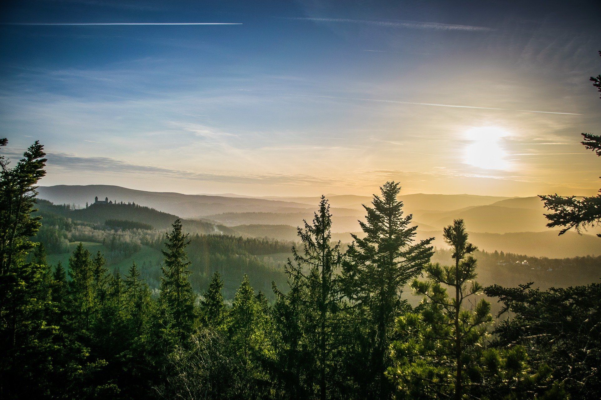
The Path of Deceleration – hiking through the Bohemian Forest
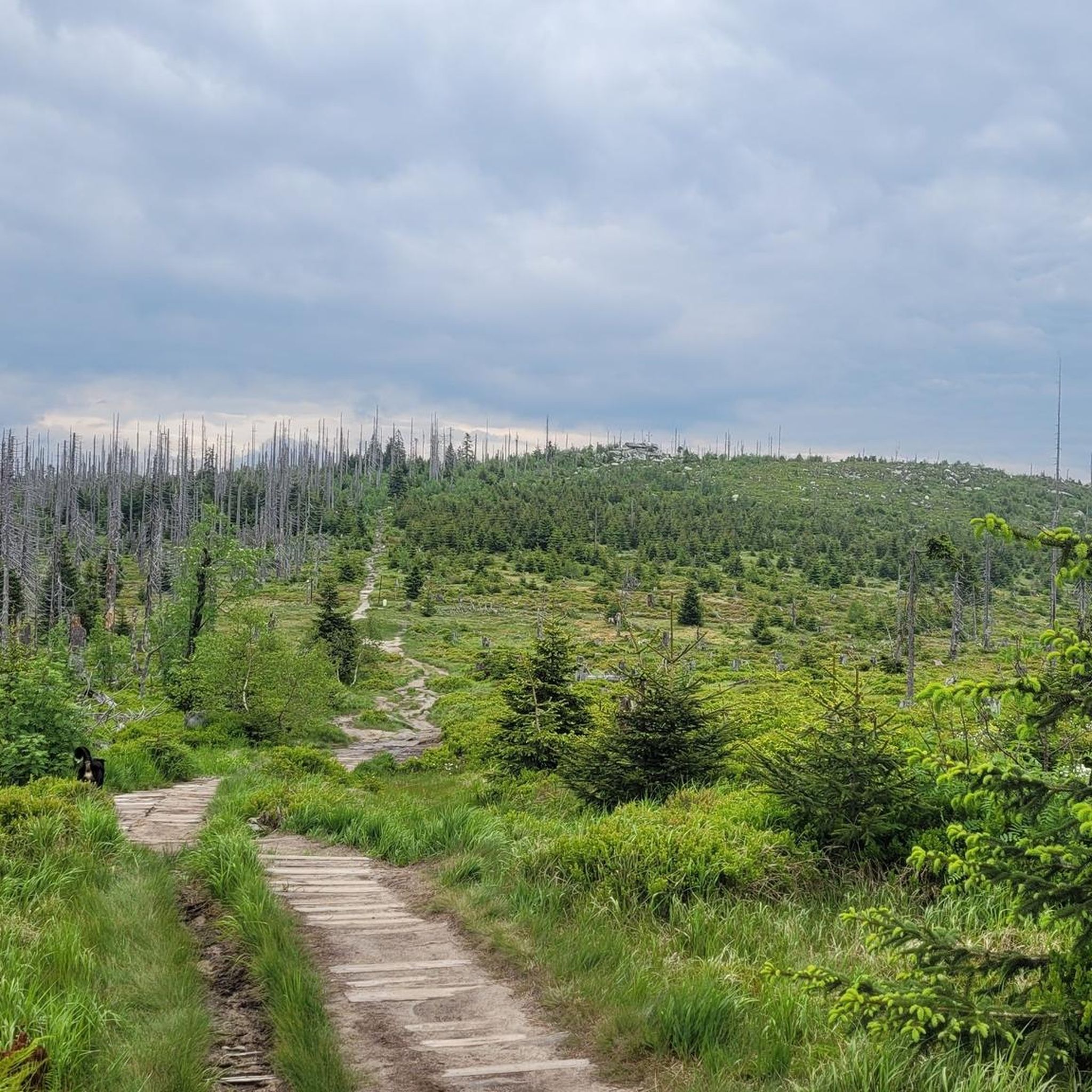
Hiking in Böhmerwald
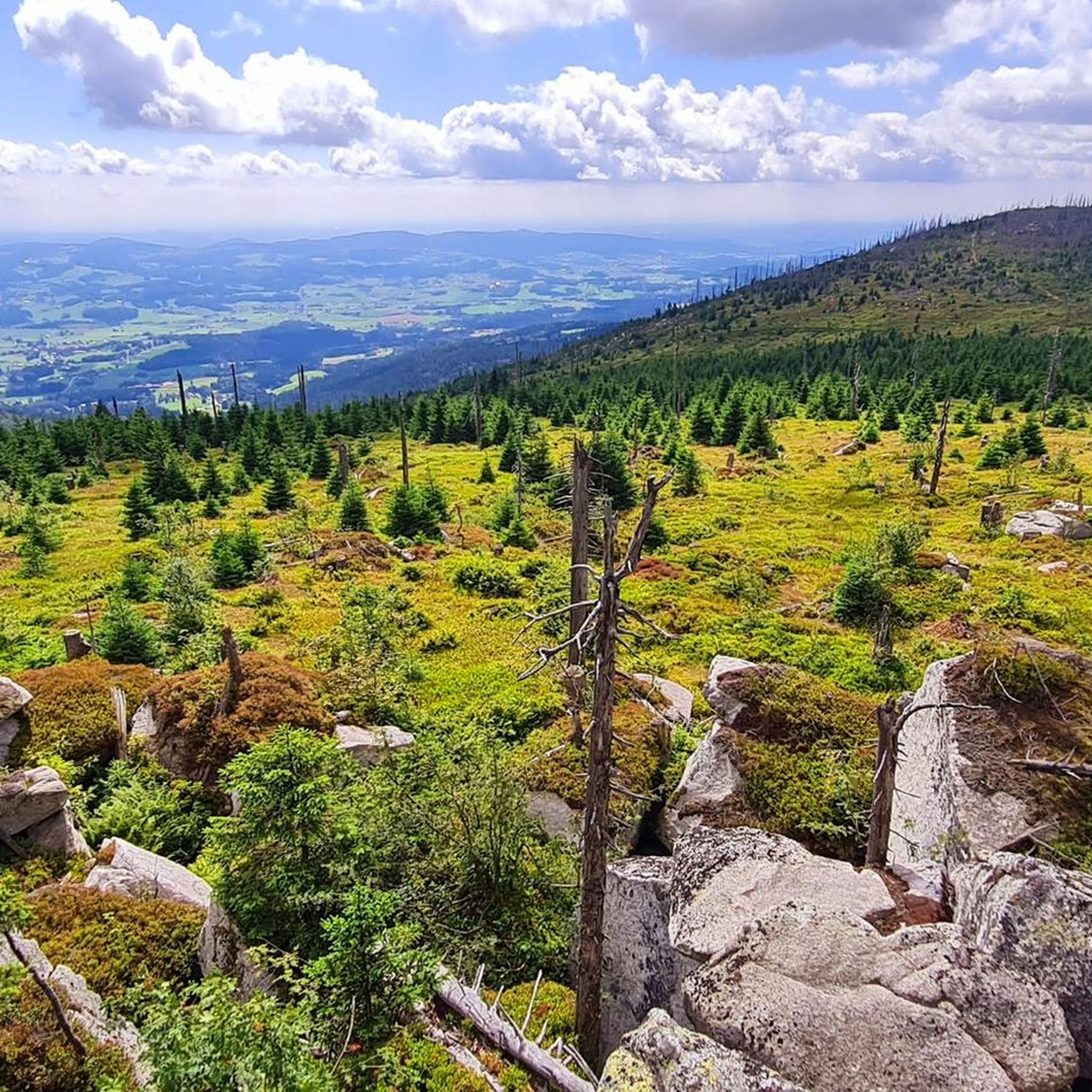
MTB Trails in Böhmerwald
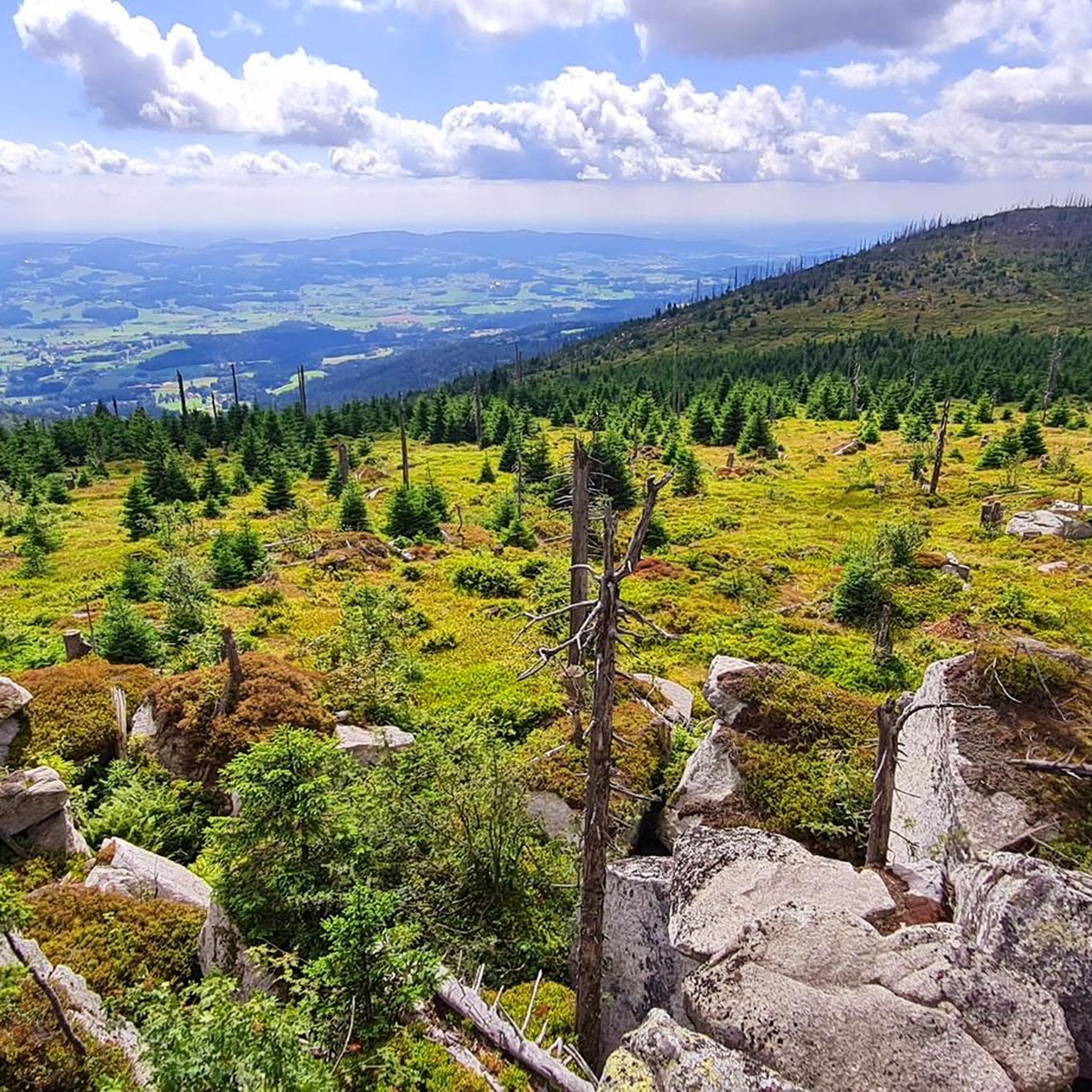
Cycling in Böhmerwald
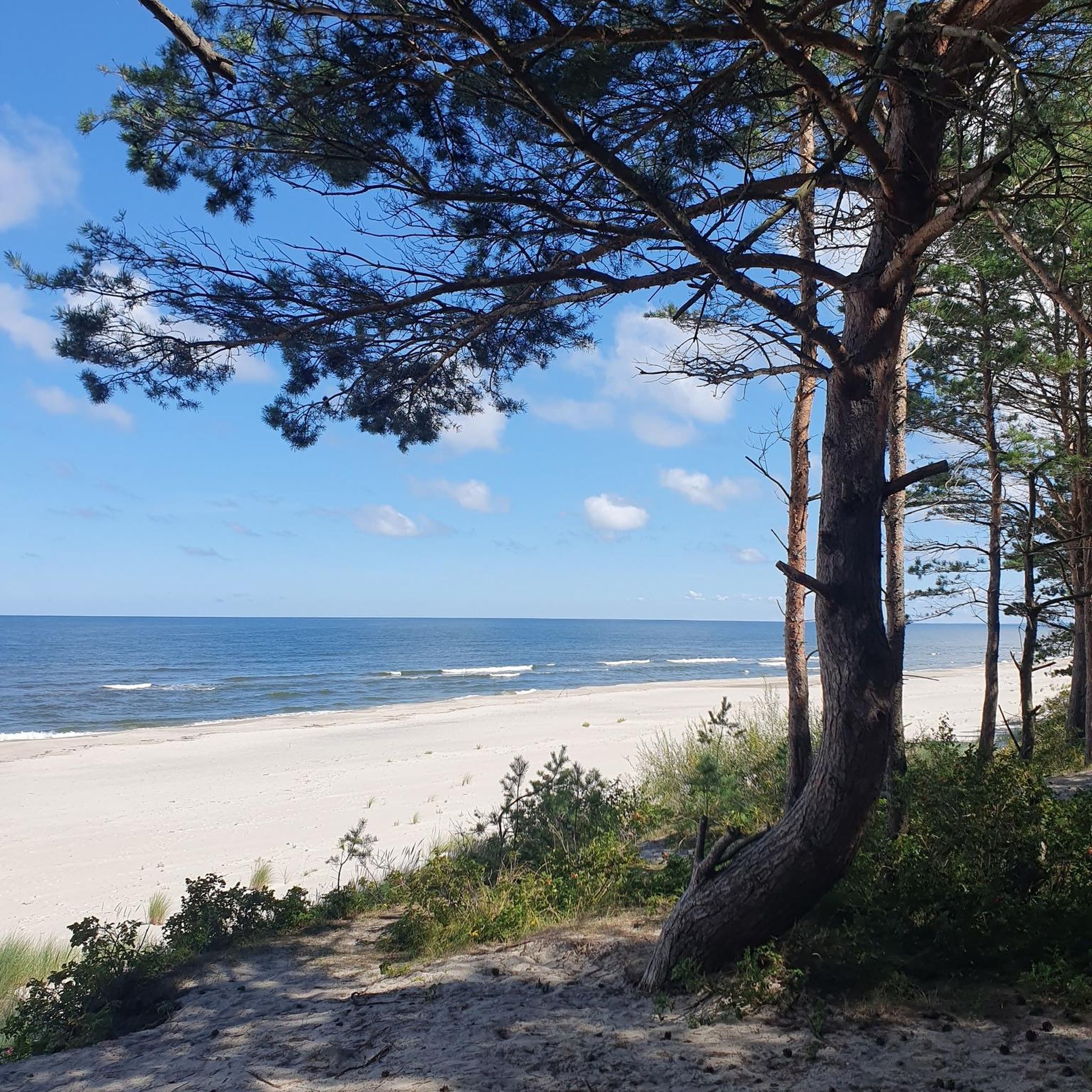
Mountain Hikes in Böhmerwald
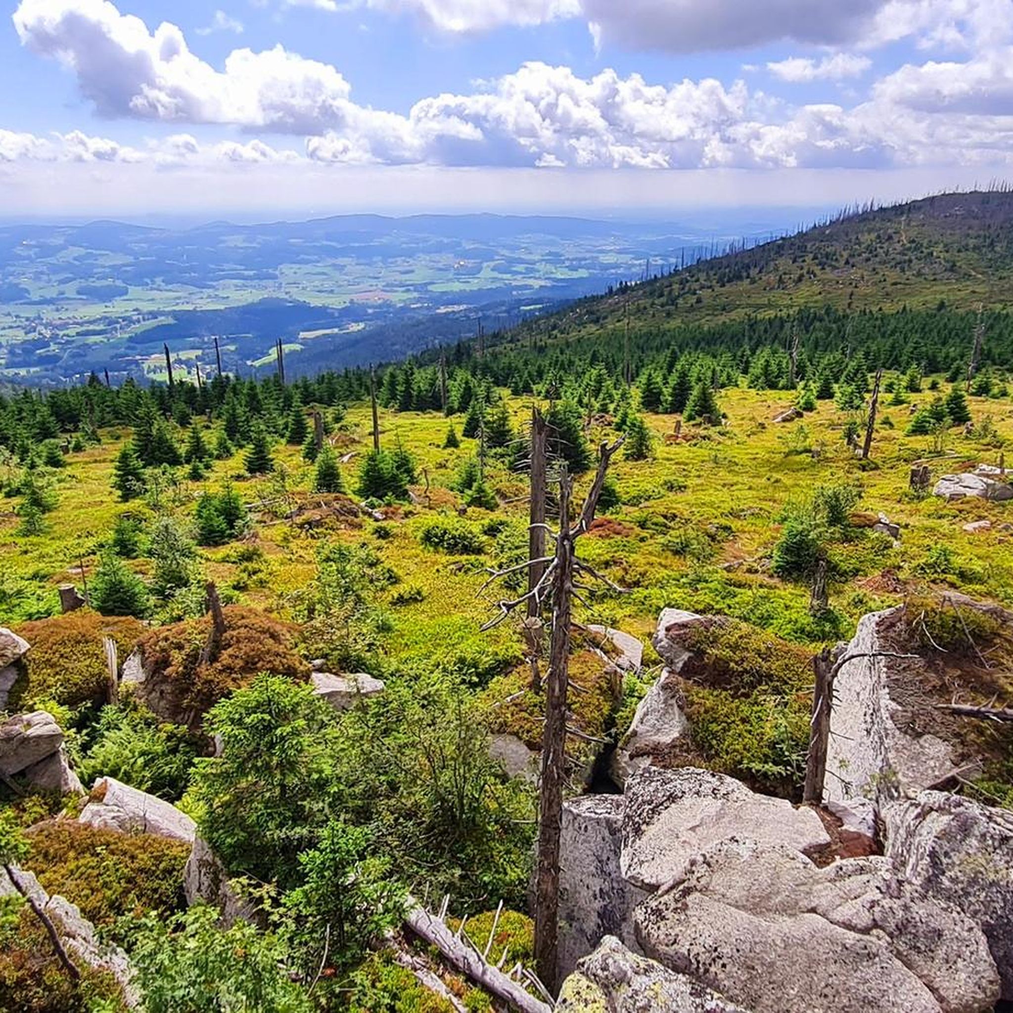
Road Cycling Routes in Böhmerwald

Gravel biking in Böhmerwald
Other adventures in Böhmerwald


Tips from the Community


The path through the moor is beautifully laid out - and you can pick blueberries to the right and left of the path... :-D
0
0

Schöneben is a hotspot for cyclists, hikers, and in winter for cross-country skiers.
3
0
It is known for its natural location and panoramic views
5
0
It is a hotspot for cross-country skiing, cycling, and hiking.
3
0
It is a hotspot for cross-country skiing, cycling and hiking
5
0
It is a hotspot for cross-country skiing, cycling and hiking
5
0

Reservoir and Bavarian floodplain
0
0
Frequently Asked Questions
How many running routes are available in the Böhmerwald region?
The Böhmerwald offers a wide selection of running routes. Our guide features 14 distinct jogging routes, but the region boasts an extensive network of over 500 kilometers of marked trails suitable for various outdoor activities, including running.
What kind of terrain can I expect on jogging routes in the Böhmerwald?
Running routes in the Böhmerwald traverse a diverse low mountain range. You can expect extensive, healthy forests, varied hilly terrain with both gentle slopes and more challenging ascents, and paths around picturesque glacial lakes. The region is known for its well-preserved natural landscapes, offering a mix of forest paths and open areas.
Are there routes suitable for beginners or those looking for an easy run?
Yes, the Böhmerwald caters to all fitness levels. Our guide includes 2 easy running routes, perfect for beginners or those seeking a relaxed jog. The extensive trail network also features shorter, easier jogging and Nordic walking routes, such as those found within the Böhmerwaldpark.
What do other runners say about the jogging routes in the Böhmerwald?
The running routes in the Böhmerwald are highly rated by the komoot community, with an average score of 4.7 stars from over 10 reviews. More than 200 runners have used komoot to explore the region, often praising the varied terrain and the serene environment of the dense forests and natural reserves.
Are there any circular running routes in the Böhmerwald?
Yes, many running routes in the Böhmerwald are designed as loops, offering a convenient way to start and finish at the same point. An example is the Panyhaus Country Inn – Moldaublick Observation Tower loop from Grünwald, a moderate 8.1 km trail through forested areas.
What natural features can I see while jogging in the Böhmerwald?
The Böhmerwald is rich in natural beauty. You can encounter ancient woodlands, picturesque glacial lakes like the Black Lake (Černé jezero) and Devil's Lake (Čertovo jezero), and unique moorlands, some with boardwalks for exploration. The region is part of the largest contiguous forest area in Central Europe, often called the 'Green Roof of Europe'.
Are there any specific landmarks or viewpoints along the running trails?
Absolutely. While running, you might pass by significant landmarks such as the Tripoint Monument (Germany–Austria–Czech Republic). For stunning vistas, consider routes near peaks like the Bärenstein Summit, or observation towers such as the Poledník Observation Tower, Špičák Observation Tower, and the Black Tower (Černá věž) in Klatovy, which offer panoramic views of the landscape.
Can I bring my dog on the running trails in the Böhmerwald?
The Böhmerwald is generally very dog-friendly, with many trails suitable for running with your canine companion. However, it's always advisable to check local regulations, especially within national park areas or nature reserves, and to keep your dog on a leash to protect wildlife.
Are there family-friendly jogging options in the Böhmerwald?
Yes, the Böhmerwald offers several family-friendly jogging options, particularly the easier and shorter routes. These trails often have less elevation gain and are well-maintained, making them suitable for families looking to enjoy a run together in nature. Look for routes designated as 'easy' in our guide.
How challenging are the running routes in the Böhmerwald?
The Böhmerwald offers a range of challenges. Our guide includes 2 easy, 6 moderate, and 6 difficult routes. For instance, the Moldaublick Observation Tower – Bohemian Forest Arena loop from Grünwald is a difficult 20 km trail with significant elevation changes, while routes like the Robert-Baldassari Hut – Grenze-Malga di Cima Hut loop from přírodní rezervace Ježová offer a moderate challenge.
What is the best time of year for running in the Böhmerwald?
The Böhmerwald is excellent for running from spring through autumn. During these seasons, the extensive trail network is fully accessible, and the weather is generally pleasant for outdoor activities. The dense forests provide shade in summer, and the autumn colors are particularly beautiful. Winter running is also possible on cleared paths, but some trails may be covered in snow.
Are there any trails that offer panoramic views?
Many trails in the Böhmerwald lead to points with spectacular panoramic views. Peaks like the Bärenstein Summit (1,077 meters) can offer extensive views that reach the Alps on clear days. Observation towers such as the Poledník Observation Tower also provide stunning vistas of the Böhmerwald and Bavarian Forest landscapes, making for rewarding running destinations.
Most popular routes in Böhmerwald
Most popular attractions in Böhmerwald

Get inspired with the komoot mobile app


Explore more
Browse the best Running Trails & Routes in other regions.
