The best mountain hikes in Böhmerwald
4.4
(18)
282
hikers
20
hikes
Mountaineering in Böhmerwald offers diverse landscapes across a low mountain range spanning the Czech Republic, Germany, and Austria. The region is characterized by densely forested mountains, typically ranging from 800 to 1,400 meters, with rounded forms and fewer rocky sections. Notable features include several glacial lakes, extensive ancient forests, and vast moorlands, forming a significant contiguous forest area. The Böhmerwald also serves as a crucial water divide, with rivers originating within its terrain.
Best mountaineering routes in Böhmerwald
- The most…
Last updated: October 5, 2026
4.3
(4)
64
hikers
Hard mountaineering route. Very good fitness required. Sure-footedness, sturdy shoes and alpine experience required.
5.0
(2)
42
hikers
16.7km
05:54
630m
630m
Hard mountaineering route. Very good fitness required. Sure-footedness, sturdy shoes and alpine experience required.

5.0
(1)
31
hikers
19.5km
06:45
730m
730m
Hard mountaineering route. Very good fitness required. Sure-footedness, sturdy shoes and alpine experience required.
4.0
(3)
18
hikers
Hard mountaineering route. Very good fitness required. Sure-footedness, sturdy shoes and alpine experience required.
17
hikers
Hard mountaineering route. Good fitness required. Sure-footedness, sturdy shoes and alpine experience required.
Get access to more routes and recommendations from other explorers.
Already have an account?
Our route recommendations are based on thousands of hikes, rides, and runs completed by other people on komoot.
Start today with a free account
Your next adventure awaits.
Popular around Böhmerwald

Ruperti Trail – Hike from Austria's Bohemian Forest to the Carnic Alps

Nordwaldkamm trail – Hiking between the Czech Republic and Austria
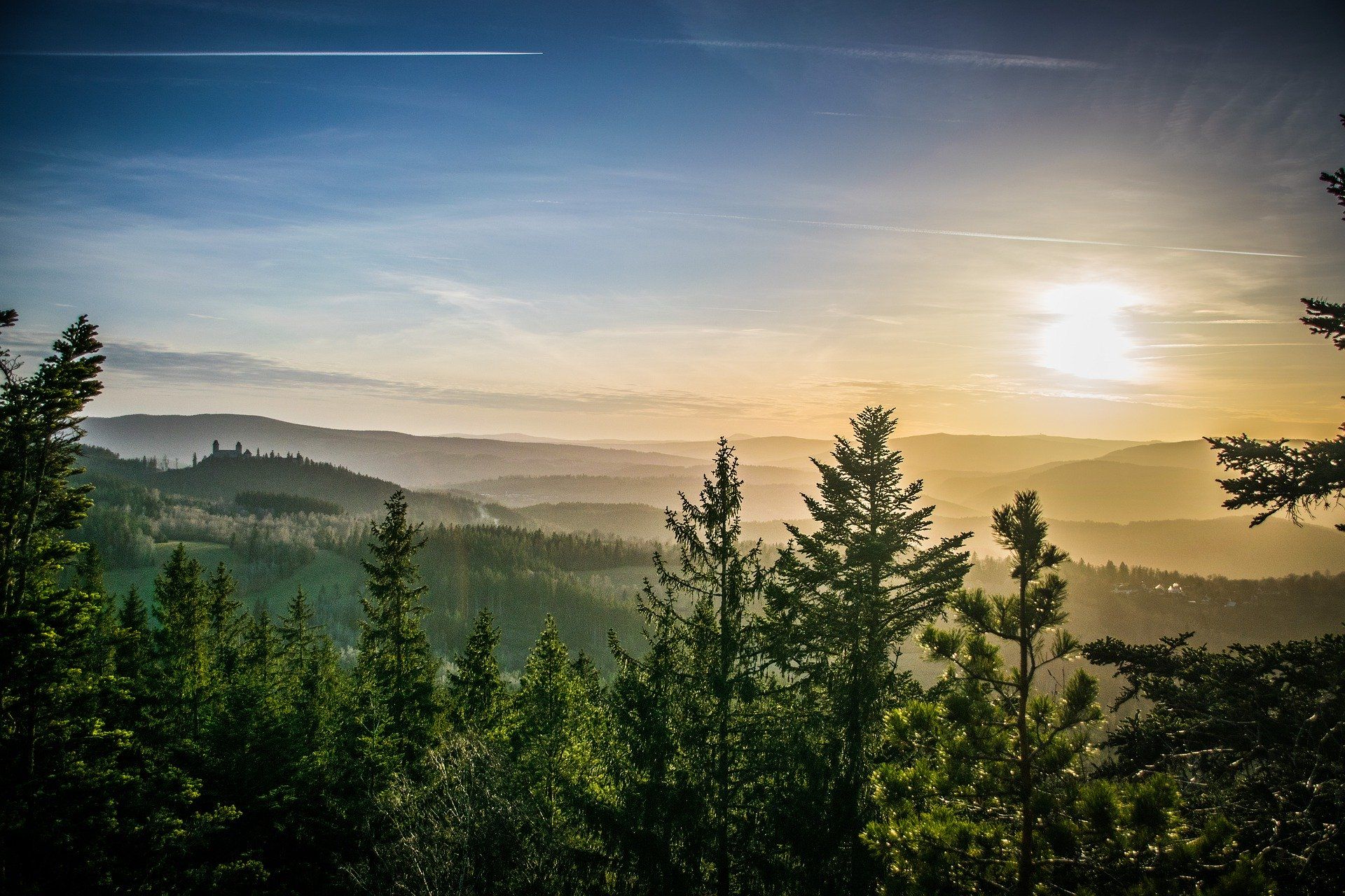
The Path of Deceleration – hiking through the Bohemian Forest
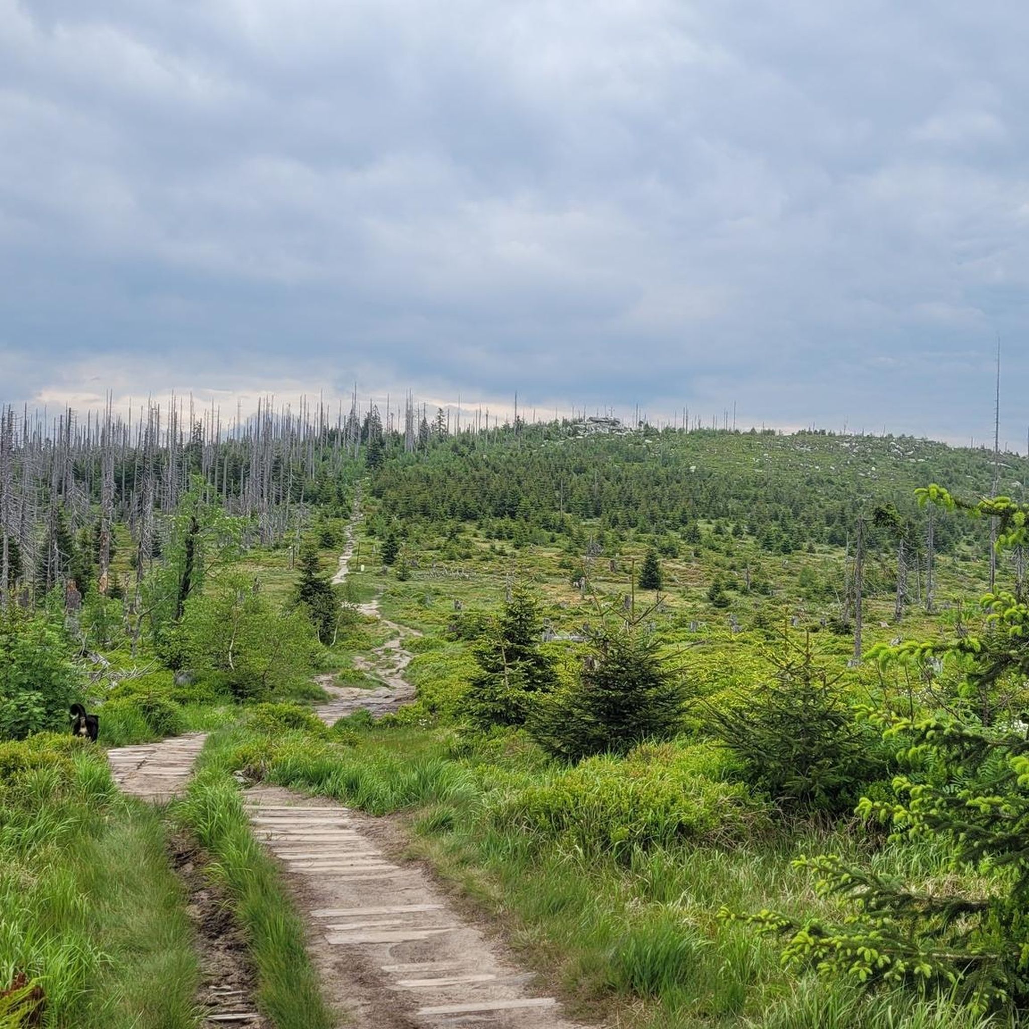
Hiking in Böhmerwald
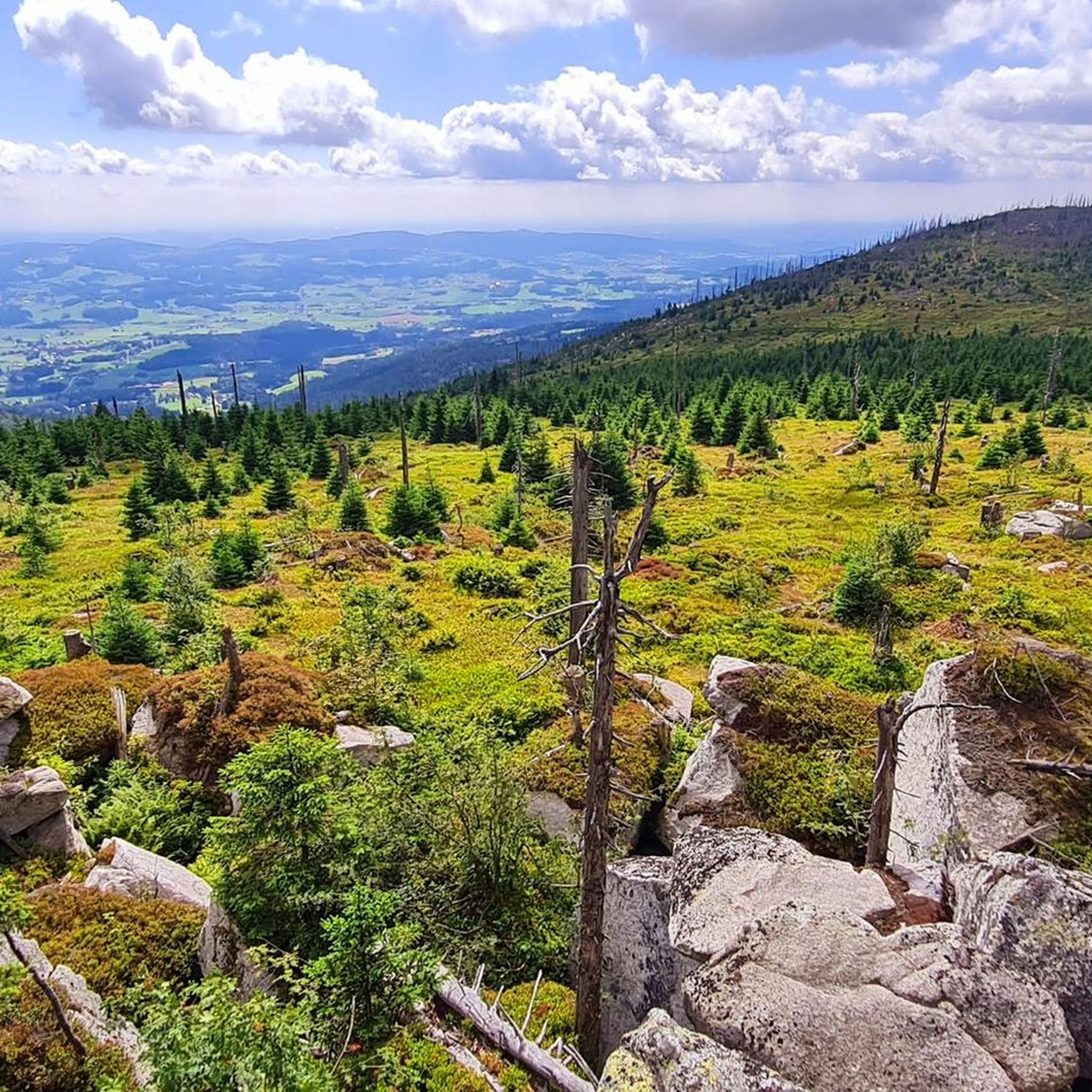
MTB Trails in Böhmerwald
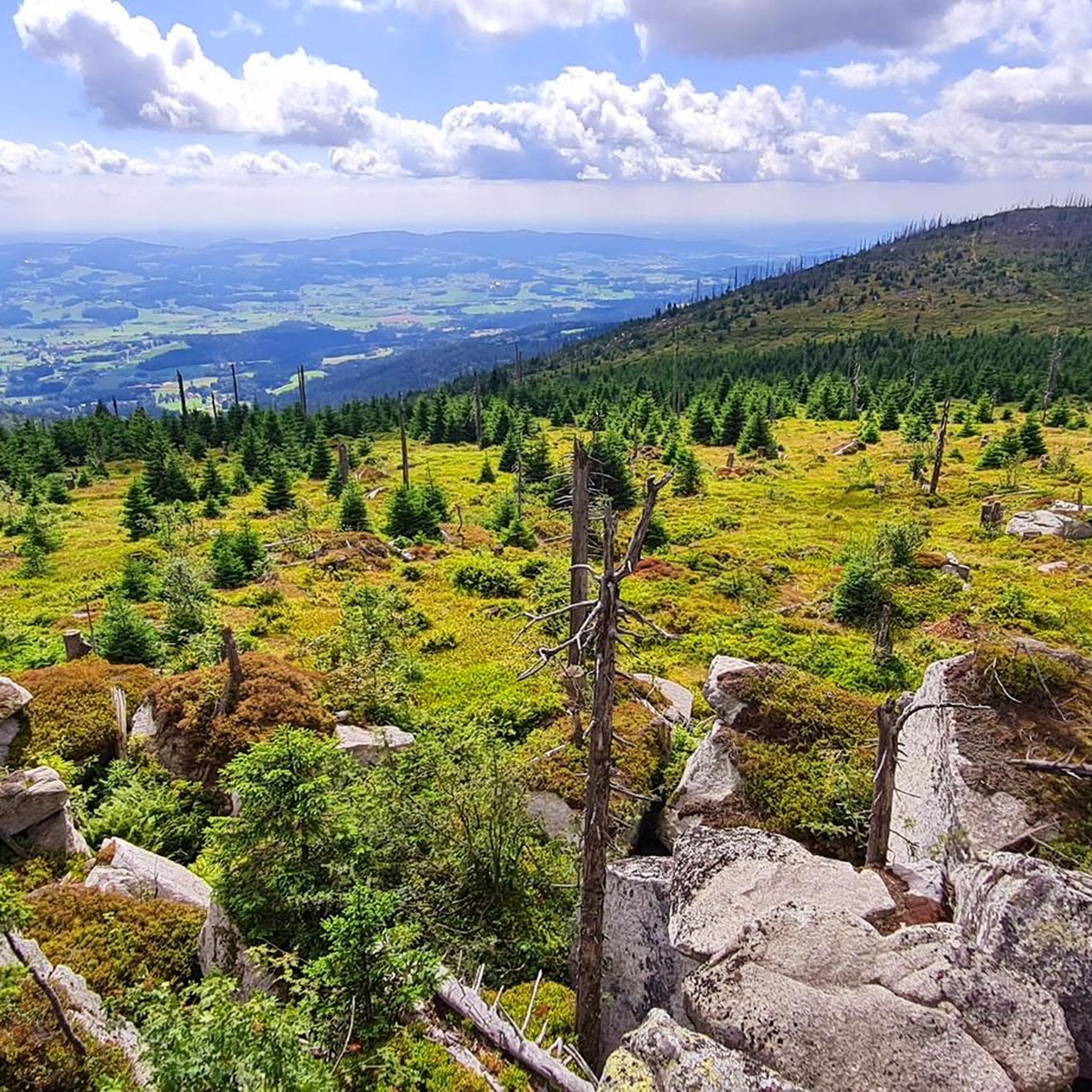
Cycling in Böhmerwald
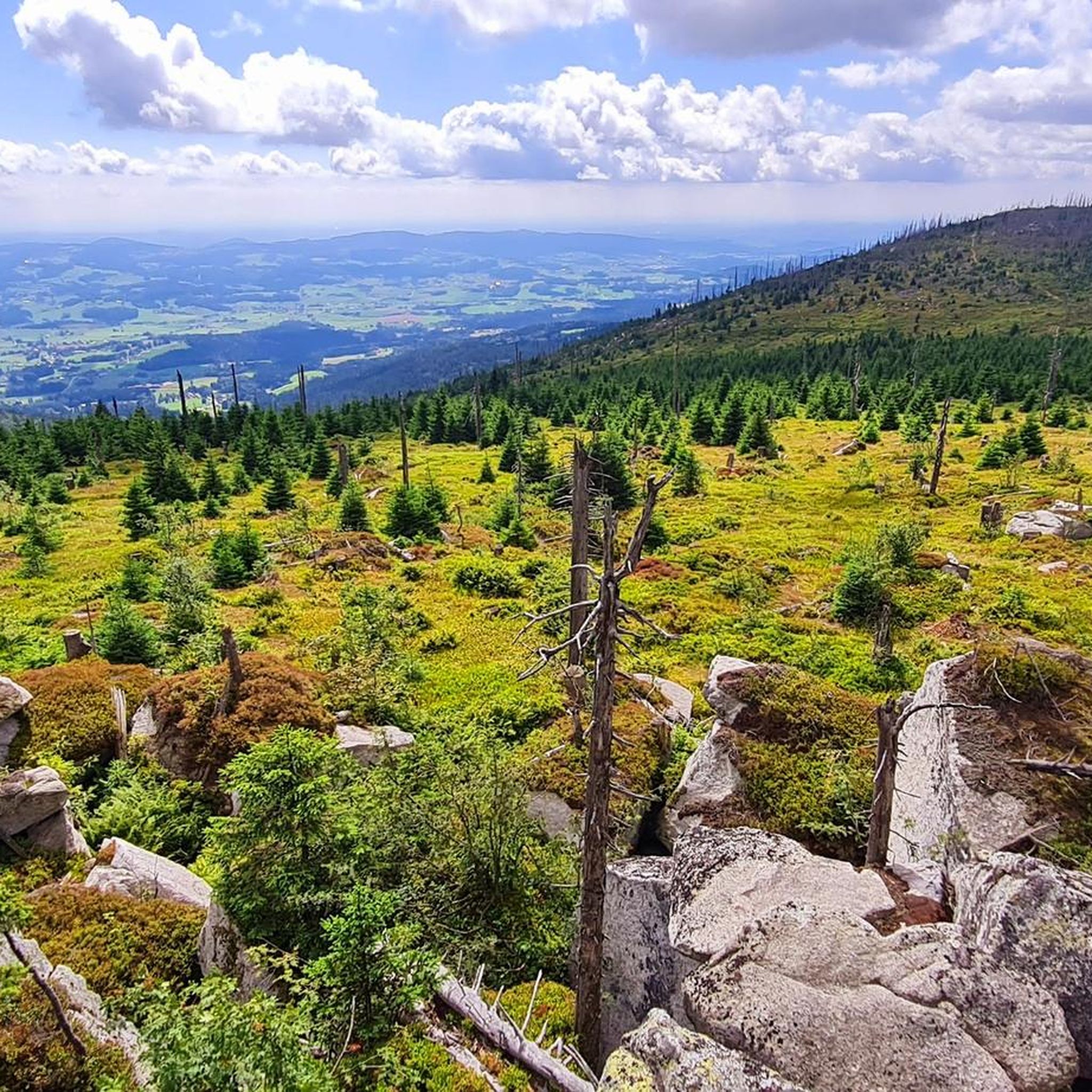
Road Cycling Routes in Böhmerwald
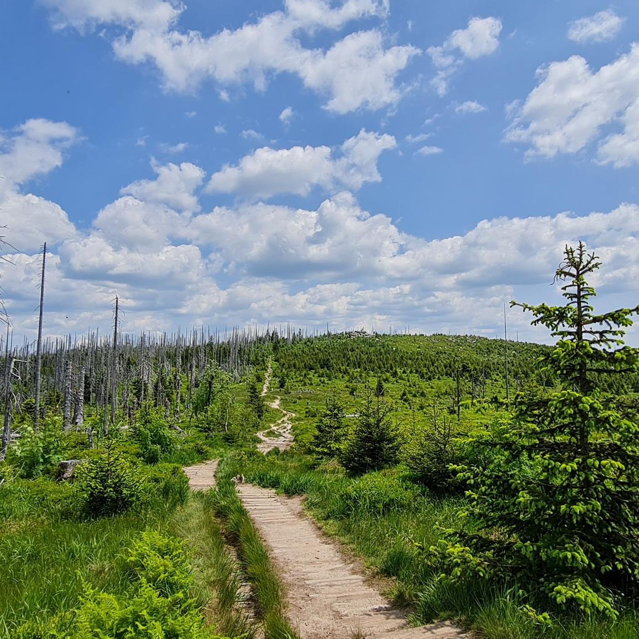
Running Trails in Böhmerwald

Gravel biking in Böhmerwald
Other adventures in Böhmerwald


Tips from the Community

The views are worth it and the trail is cool AF
0
0

Gasthof is open from Wednesday to Sunday (as of 2026)
5
0

Beautiful rocks up here and a magnificent 360-degree panorama from the Dreisesselfelsen. The ascent is moderate until the last hairpin bend, then it really gets going, but then it's done!
0
0

Steep trail to Plöckenstein from the lake. Partially very steep and technical.
0
0
Beautiful viewpoint with great long-distance views of the Lipno Reservoir.
0
0

Take a break: The Gasthof Dreiländereck is located right by the trail, offering a sun terrace, regional cuisine, a beer culture, and a view that will make you breathe deeply. Helmet off, raise a glass, enjoy – and then continue on your way, refreshed and invigorated. https://gasthof-dreilaendereck.com
0
0

Here everyone will find a place to have a snack
0
0
Frequently Asked Questions
How many mountaineering routes are available in Böhmerwald?
The Böhmerwald region offers a variety of mountaineering routes, with over 20 trails available for exploration. These routes cater to different skill levels, including easy, moderate, and difficult options.
What kind of terrain can I expect on mountaineering routes in Böhmerwald?
Mountaineering in Böhmerwald features diverse terrain, characterized by densely forested mountains with rounded forms and fewer rocky sections. You'll encounter extensive ancient forests, vast moorlands, and several beautiful glacial lakes. The region is part of a UNESCO Biosphere Reserve, ensuring a wild and untamed landscape.
Are there any easy mountaineering routes suitable for beginners in Böhmerwald?
Yes, Böhmerwald offers a few easy mountaineering routes perfect for beginners or those seeking a less strenuous experience. In total, there are 2 easy routes available, allowing you to enjoy the beautiful scenery without extreme challenges.
Are there any circular mountaineering routes in Böhmerwald?
Many routes in Böhmerwald are designed as loops, offering a convenient way to explore the region. For example, the Plöckenstein Summit Cross – Teufelsschüssel Rock Formation loop from Lackenhäuser is a popular option that takes you through unique natural features and back to your starting point.
What are some notable landmarks or natural attractions I can see along the mountaineering routes?
Böhmerwald's mountaineering routes pass by several significant landmarks and natural attractions. You can visit the unique Teufelsschüssel Rock Formation, known for its impressive rock castles, or the Tripoint Monument (Germany–Austria–Czech Republic) where you can stand in three countries at once. Many routes also offer views of glacial lakes like Plešné jezero.
What do other mountaineers say about the routes in Böhmerwald?
The mountaineering routes in Böhmerwald are highly rated by the komoot community, with an average score of 4.1 stars from over 10 reviews. Many users praise the region's ancient forests, glacial lakes, and the diverse terrain that offers options for various ability levels.
Are there any routes that offer panoramic views?
Absolutely! The Böhmerwald is known for its scenic viewpoints. For instance, the Adalbert Stifter Shelter – View of Lipno Reservoir loop from Schwarzenberg am Böhmerwald provides stunning vistas, including the Lipno Reservoir. Peaks like Bärenstein also offer extensive views, reaching the Alps on clear days.
Can I find challenging routes for experienced mountaineers in Böhmerwald?
Yes, Böhmerwald offers plenty of challenging routes for experienced mountaineers. With 15 difficult routes available, you can test your skills on trails like the Dreisessel – Stifter-Dachl loop from Lackenhäuser, which explores the distinctive Dreisessel mountain and its granite rock formations.
What is the best time of year for mountaineering in Böhmerwald?
The Böhmerwald is ideal for mountaineering from spring through autumn, when trails are clear and the weather is generally favorable. The region transforms into a snowy landscape in winter, offering opportunities for winter hiking and cross-country skiing, but specific mountaineering routes may require specialized gear and experience during this season.
Are there any routes that take me to the Plöckenstein Summit Cross?
Yes, you can reach the Plöckenstein Summit Cross on several routes. A great option is the Teufelsschüssel Rock Formation – Plöckenstein Summit Cross loop from Schwarzenberg am Böhmerwald, which combines natural monuments with the summit experience.
What are the typical elevations and distances for mountaineering routes in Böhmerwald?
Mountaineering routes in Böhmerwald typically involve elevations ranging from 800 to 1,400 meters. Distances vary significantly, from shorter loops around 10 km to longer, more demanding trails. For example, the Dreisessel – Plöckenstein Summit Cross loop from Rosenberger Gut covers approximately 19.5 km with significant elevation gain.
Most popular routes in Böhmerwald
Most popular attractions in Böhmerwald

Get inspired with the komoot mobile app


Explore more
Browse the best Mountain Hikes & Routes in other regions.
