Top 20 Natural Monuments around Uplengen
Natural monuments around Uplengen showcase a diverse landscape of moors, forests, and waterways in East Frisia, Germany. This region is characterized by its geological past, featuring glacial erratics and ancient trees. Uplengen offers various natural areas, including significant nature reserves, providing habitats for diverse flora and fauna. The area is suitable for those interested in geology, ecology, and tranquil outdoor exploration.
Best natural monuments around Uplengen
- The most popular natural monuments is Aper Tief nature reserve, a river that…
Last updated: October 11, 2026
Aper Tief nature reserve
Highlight • River
Translated by Google •
Tip by

Hunting lodge in the Neuenburg Primeval Forest
Highlight • Mountain Hut
Opposite the …
Translated by Google •
Tip by

Sign up now to discover places like this
Get recommendations on the best single tracks, peaks, & plenty of other exciting outdoor places.
Bird Sanctuary
Highlight (Segment) • Natural
Translated by Google •
Tip by

Augustfehner Graben Observation Tower
Highlight • Viewpoint
Translated by Google •
Tip by

Neudorfer Moor Observation Tower
Highlight • Viewpoint
Translated by Google •
Tip by

Sign up for free to discover even more natural monuments around Uplengen.
Already have an account?
Start today with a free account
Your next adventure awaits.

Tips from the Community

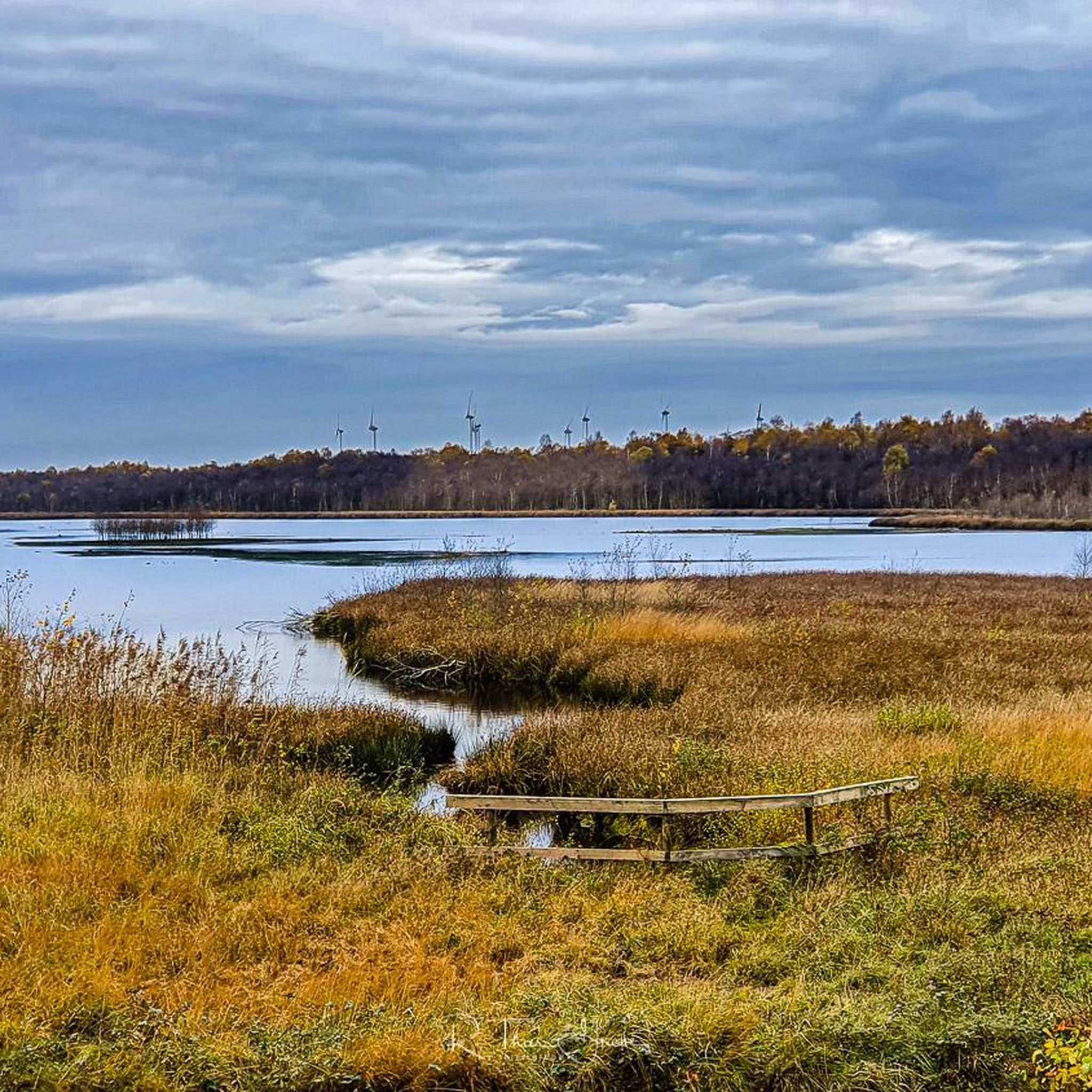
The Neudorfer Moor is a nature reserve in the Lower Saxony municipality of Uplengen in the Leer district. The nature reserve, designated NSG WE 114, is 350 hectares in size. The area has been a nature reserve since October 8, 1983. The responsible lower nature conservation authority is the Leer district. The nature reserve is located in the north of the municipality of Uplengen on the border with the municipality of Wiesmoor. The area protects the remains of a raised bog which, like the nature reserves of Lengener Meer, Stapeler Moor, Spolsener Moor and Herrenmoor a few kilometers further east, is one of the formerly extensive East Frisian central moors. The moor, where peat mining used to take place, is being renaturalized. A small part of the nature reserve is used as agricultural grassland. The area is drained via the Riesmeerschloot and the Nordgeorgsfehnkanal to the Jümme. There is a viewing platform in the east of the nature reserve.
4
1

A nice opportunity for a break on the benches and from the tower you have a super beautiful view of the nature reserve
4
1

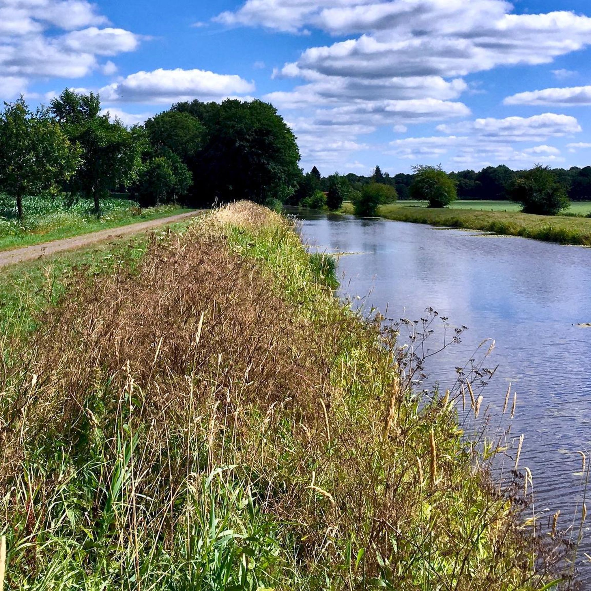
The 75 hectare “Aper Tief” nature reserve is a former contiguous wet grassland complex in the lowlands of the Aper Tief. The area was completely removed from grassland use in 2005 by relocating a dike, so that a natural floodplain landscape of a lowland river is redeveloping here. What is noteworthy in this context are the developing river mudflats and floodplain forests, through which oxbow lakes flow.
4
0
Due to the topographical conditions, most of the pumping stations are located in the northwestern part of the Ammerländer Wasseracht association area.
14
1
Now it is finished - the new observation tower that the NLWKN (Lower Saxony State Office for Water Management, Coastal and Nature Conservation) had built in the Lengener Meer nature reserve near Friedeburg in the Wittmund district to replace the dilapidated observation platform. While there were previously 14 steps, the visitor now has to climb 21 steps and is rewarded with a wide view over the raised moor with the 22-hectare moor lake. Thanks to its open and transparent design, the new tower is much more beautiful than the old platform. The lower area was deliberately not covered because experience with the previous observation platform has shown that visitors do not use the shelter at this point. “This made it possible to choose a construction that can be better integrated into the image of this raised moor landscape,” emphasizes Martin Wendeburg from the NLWKN in Oldenburg (Nature Conservation Division). The project is financed with funds from the
7
1

The Aper Tief is a small river in the Lower Saxony municipalities of Apen in the district of Ammerland and Detern in the joint municipality of Jümme in the district of Leer.
6
0
You can rest well at the tower and have a beautiful view of the Aper-Tief.
4
0

Property located in the rustic Bockhorn primeval forest, directly on the cycle path…
4
0
Frequently Asked Questions
What unique natural features can I explore in Uplengen?
Uplengen offers a diverse landscape, including significant geological formations like the Aper Tief nature reserve, which features a rare freshwater mudflat and rich birdlife. You can also find ancient trees, such as Red Beeches, Chestnuts, Lindens, and Oaks, designated as natural monuments due to their age and historical significance. The region's moors and forests, like the Hollesand Nature Reserve, provide unique ecosystems to discover.
Are there natural monuments suitable for families in Uplengen?
Yes, several natural monuments in Uplengen are family-friendly. The Aper Tief nature reserve has a well-maintained hiking trail. The Neudorfer Moor Observation Tower offers a great spot for birdwatching, and the Hunting lodge in the Neuenburg Primeval Forest serves as a resting place amidst numerous hiking trails, all suitable for family outings.
Where can I observe wildlife, especially birds, in Uplengen?
For birdwatching, the Aper Tief nature reserve is excellent, known for its rich birdlife. The Neudorfer Moor Observation Tower provides views over a rewetting area where many different bird species can be observed. Additionally, the Bird Sanctuary (Polder Holter Hammrich) is a 240-hectare rewetting area, home to over 60 bird species, with a 7-kilometer circular route and a lookout tower.
What kind of hiking trails are available near Uplengen's natural monuments?
Uplengen offers a variety of hiking trails. For example, the Hollesand Nature Reserve features well-marked trails using a junction point system. You can find easy routes like the 'Hollensand Nature Reserve – Witch’s Cottage in Holle Sand loop' or the 'Fairy Houses in Holle Sand – Hollensand Nature Reserve loop'. For more options, explore the Hiking around Uplengen guide.
Are there any historical sites among the natural monuments in Uplengen?
While Uplengen's natural monuments primarily focus on geological and ecological features, the Hunting lodge in the Neuenburg Primeval Forest has historical significance. Built in 1950, it stands near the site of an imposing 850-year-old oak, once considered the oldest tree in the forest, offering a glimpse into the region's past.
What is the best time of year to visit the natural monuments in Uplengen?
The Hollesand Nature Reserve is particularly stunning in the summer when the heathland blooms, creating a vibrant and colorful spectacle. Generally, spring and summer offer pleasant weather for exploring the trails and observing wildlife. However, the region's natural beauty can be appreciated year-round, with each season offering a different experience.
Can I find viewpoints to get a good overview of the natural landscapes?
Yes, Uplengen has several viewpoints. The Neudorfer Moor Observation Tower offers panoramic views over the rewetting area. Another excellent spot is the Augustfehner Graben Observation Tower, which provides a nice view of the surrounding landscape and the nature reserve. The Bird Sanctuary also features a lookout tower as part of its circular route.
What cycling opportunities are there near Uplengen's natural monuments?
Uplengen offers various cycling routes. The main Fehn Canal, near the Bird Sanctuary, provides well-developed paths suitable for bikes. You can find routes like 'Ihausener Wald – Quiet Country Road Near Leer loop' or 'Großsander Lake – St. Petri Church Westerstede loop'. For more detailed options, refer to the Road Cycling Routes around Uplengen guide or the Gravel biking around Uplengen guide.
Are there any unique geological features to see in Uplengen?
Uplengen is known for its granite erratics, or 'Findlinge,' near Remels. These geological features were transported by glaciers during the Ice Age, offering a fascinating glimpse into the region's geological past and the powerful forces that shaped its landscape. Their designation as natural monuments highlights their scientific and natural historical value.
What do visitors enjoy most about the natural monuments in Uplengen?
Visitors appreciate the tranquility and diverse natural surroundings. Many enjoy the opportunities for birdwatching, the well-maintained hiking and cycling trails, and the chance to explore unique ecosystems like freshwater mudflats and rewetting areas. The peaceful spots offered by ancient trees and the historical context of sites like the hunting lodge also add to the appeal.
Are there facilities or resting places available at the natural monuments?
Yes, some natural monuments offer facilities. The Hunting lodge in the Neuenburg Primeval Forest serves as a resting place and refuge for forest visitors. At the Neudorfer Moor Observation Tower, there's a bench for resting. Additionally, the Aper Tief nature reserve has a hiking trail starting at Hengstforder Mühle, where you can find refreshments.
How accessible are the natural monuments for visitors?
Many areas, such as the Aper Tief nature reserve, feature well-maintained hiking trails. The Bird Sanctuary has a circular route that is easily accessible for cyclists and hikers. While specific accessibility details for all sites vary, the region generally aims to provide enjoyable outdoor experiences for a wide range of visitors.
Most popular routes around Uplengen
Most popular attractions around Uplengen

Get inspired with the komoot mobile app


Explore more
Extend your search for the best caves by checking out these guides of the top ones around Uplengen:
