Top 14 Mountain Passes around Sankt Stefan im Gailtal
Best mountain passes around Sankt Stefan im Gailtal are situated in the Gailtal valley, a region characterized by its connection to the Carnic Alps and the Lienz Dolomites. This area offers a variety of mountain passes that serve as routes for scenic drives, cycling, and hiking. The passes often connect Austria with Italy, providing both historical significance and diverse landscapes. Explorers can find routes ranging from accessible connections to more challenging ascents.
Best mountain passes around Sankt Stefan im Gailtal
…Last updated: October 11, 2026
Gartnerkofel
Highlight • Summit
Translated by Google •
Tip by

Windische Heights
Highlight • Mountain Pass
Translated by Google •
Tip by

Sign up now to discover places like this
Get recommendations on the best single tracks, peaks, & plenty of other exciting outdoor places.
Sella Carnizza
Highlight • Mountain Pass
Translated by Google •
Tip by

Ridge Trail Between Goldeck and Martenock
Highlight (Segment) • Trail
Translated by Google •
Tip by

Dolinza Alm
Highlight • Mountain Hut
Translated by Google •
Tip by

Sign up for free to discover even more mountain passes around Sankt Stefan im Gailtal.
Already have an account?
Start today with a free account
Your next adventure awaits.
Popular around Sankt Stefan im Gailtal
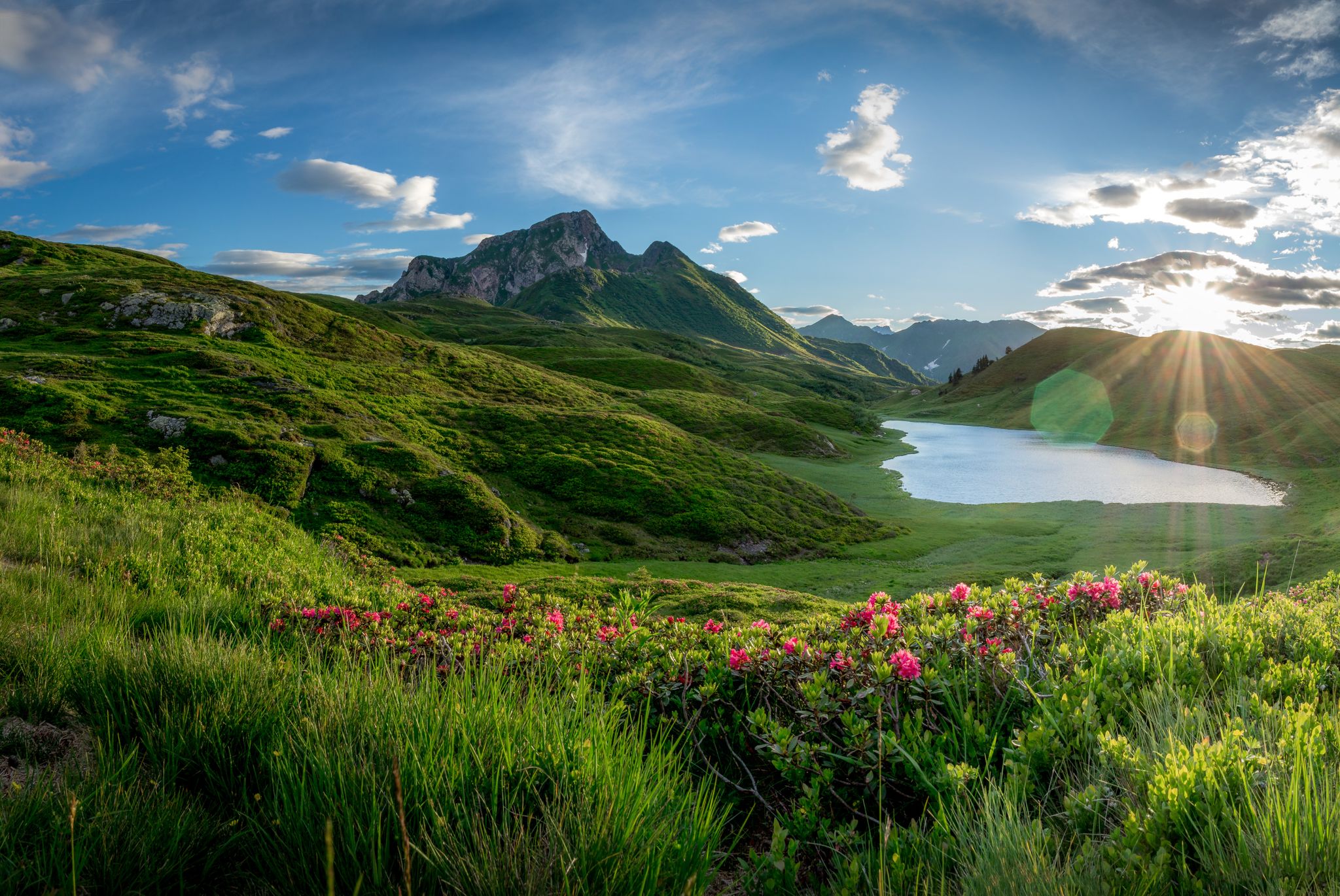
Southern Alpine Trail – Styrian vineyards and the Carnic Alps in Austria
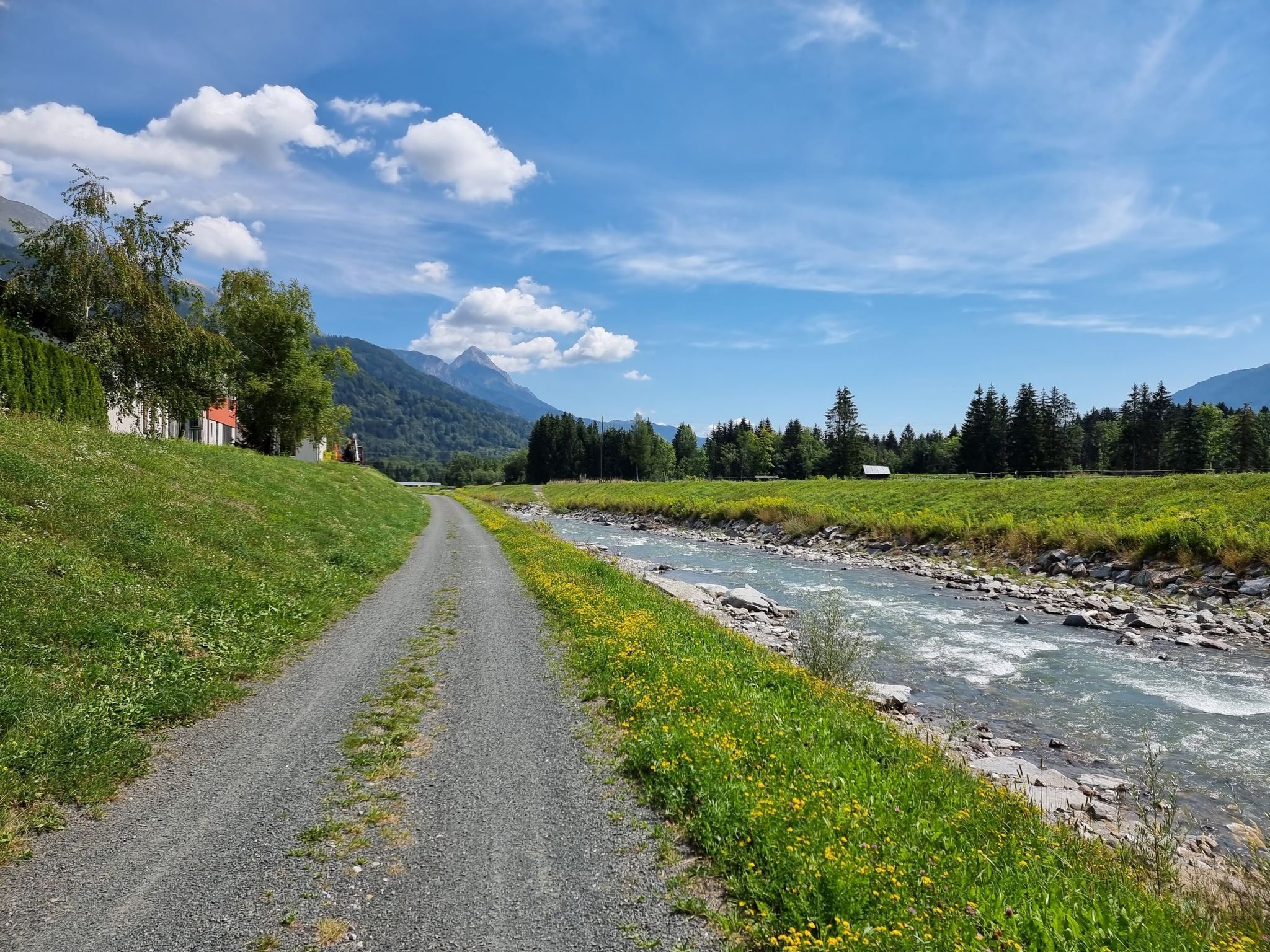
Discover Carinthia in two days on the Gailtal Cycle Path
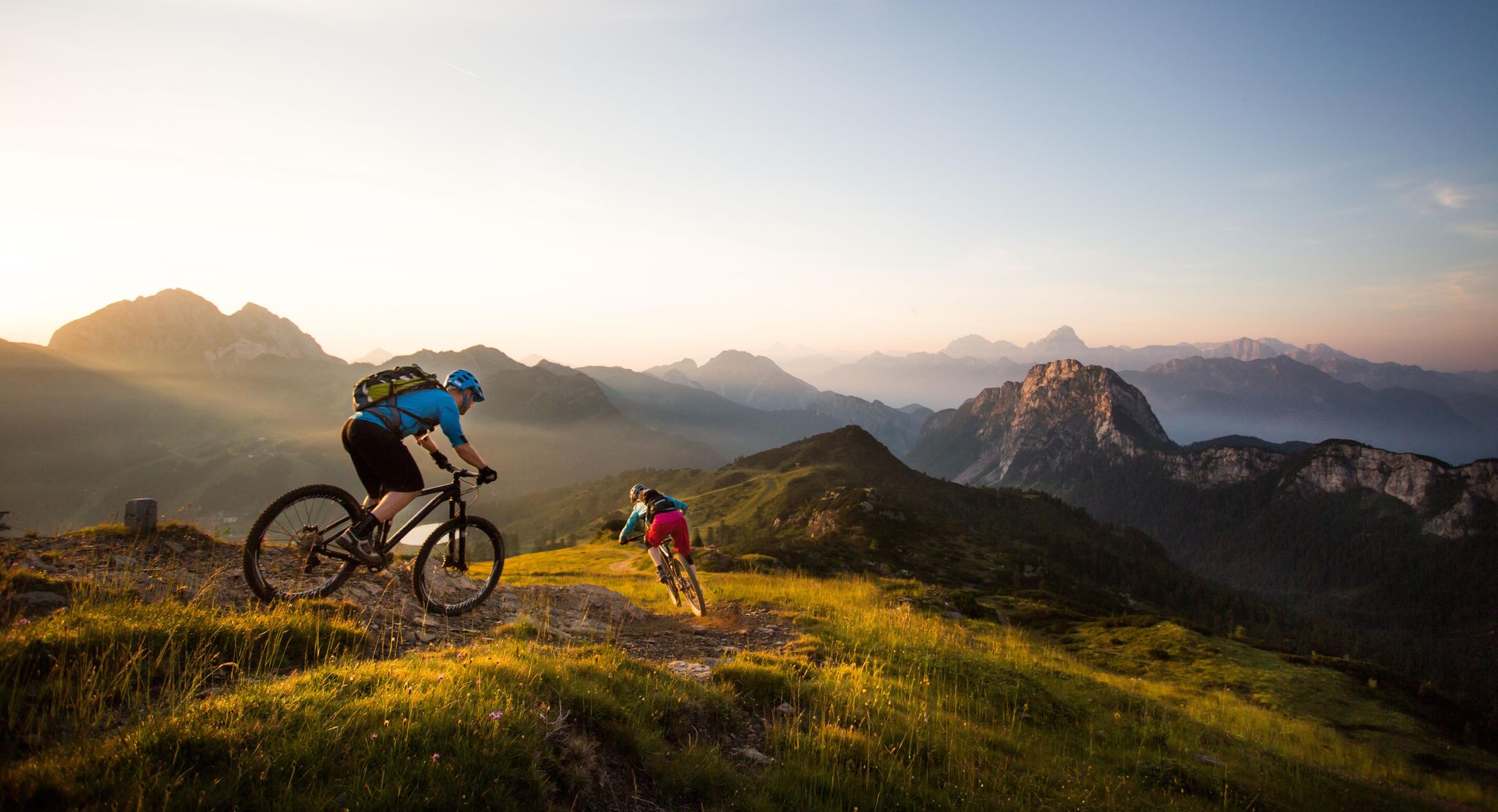
BIKEworld of Mountains & Lakes in Nassfeld-Pressegger Lake
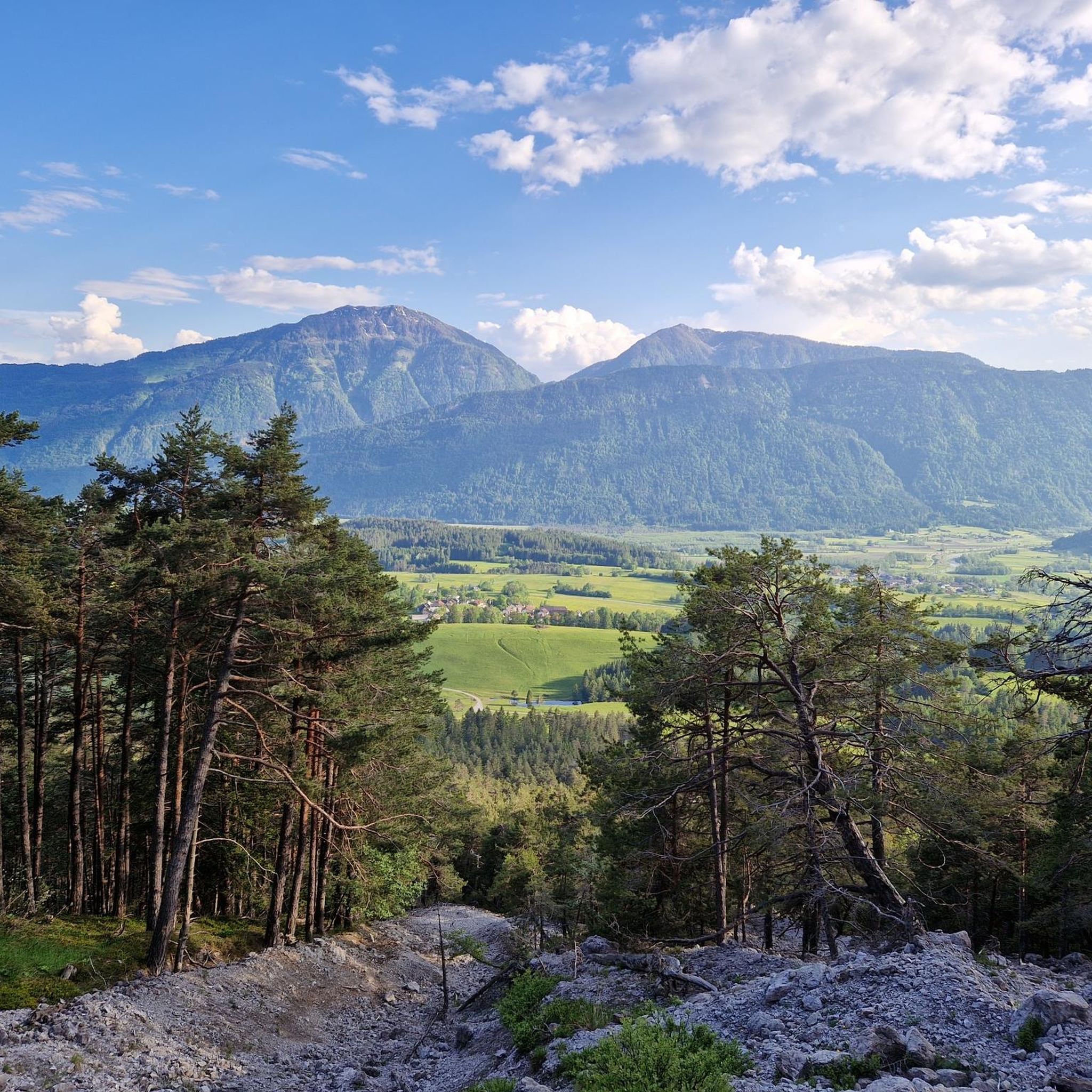
Hiking around Sankt Stefan im Gailtal
Road Cycling Routes around Sankt Stefan im Gailtal
Cycling around Sankt Stefan im Gailtal
Running Trails around Sankt Stefan im Gailtal
MTB Trails around Sankt Stefan im Gailtal
Gravel biking around Sankt Stefan im Gailtal
Mountain Hikes around Sankt Stefan im Gailtal
Other adventures around Sankt Stefan im Gailtal


Tips from the Community

Kind of tricky descent at the beginning. stones, rocks. Stay sharp
0
0

A "abandoned border crossing" from which there is a great panorama of the Julian Alps to the south. To the north, the mighty Gartnerkofel juts out.
0
0

Not so long and high, but still quite demanding in places
0
0

For flower lovers, the Gartnerkofel is a must-see! The Kuhtritts, a rare and endemic mountain flower, can be found here! ...
2
0

Beautiful, safe ridge path
0
0
Nassfeld is a beautiful hiking area on the Carnic Main Ridge, a saddle between the Austrian Gail Valley and the Italian Canal Valley. The pass is at an altitude of 1530 m above sea level, and the surrounding mountains include the Gartnerkofel (2195 m), the Rosskofel (2239 m), and the Trogkofel (2280 m). For flower lovers, the Gartnerkofel is a must! The Kuhtritt, a rare and endemic mountain flower, can be found here! For culinary delights, there are several beautiful huts and interesting restaurants to discover! 😋
3
0
...even if there is a prohibition sign here, this is the entrance! 🥾
3
0
Frequently Asked Questions
What types of mountain passes can I explore around Sankt Stefan im Gailtal?
The region around Sankt Stefan im Gailtal offers a diverse range of mountain passes, from historically significant routes connecting Austria and Italy to scenic drives and challenging trails for hiking and cycling. You'll find passes like the easily accessible Gailberghöhe, the historically rich Plöcken Pass, and the high alpine Nassfeld Pass.
Which mountain passes offer the best views?
Many passes in the area boast impressive vistas. Windische Heights offers views of the Gailtal and the Carnic Alps. The Nassfeld Pass (Passo di Pramollo) Summit provides stunning alpine scenery with impressive rock faces. The Plöcken Pass also offers impressive views, especially along its historical route.
Are there mountain passes with historical significance?
Yes, the Plöcken Pass (Passo di Monte Croce Carnico) is particularly notable for its historical importance. It served as a mule track for the Illyrians and played a significant role in connecting Austria and Italy. The area around it is part of the Carnic High Trail, also known as the Peace Trail, which features remnants of World War I fortifications and trenches.
Are there good hiking opportunities near these mountain passes?
Absolutely. The region is excellent for hiking. For example, the area around Windische Höhe is popular for trails leading to the St. Stefan ob Köstendorf church, offering splendid views. The Carnic High Trail runs through the Plöcken Pass area. For specific routes, you can explore options like the "Oisternig Loop from Feistritzer Alm" or the "Dolinza Alm border walk" which are moderate hikes. More challenging options include the "Carnic High Trail 403" or the "Lake Egger Alm – Poludnig Summit loop". You can find more details on these routes in the Hiking around Sankt Stefan im Gailtal guide.
Can I find challenging routes for experienced hikers or cyclists?
Yes, for experienced adventurers, the region offers challenging options. The Ridge Trail Between Goldeck and Martenock requires sure-footedness due to rocky and exposed areas. Cyclists will find the Kartitscher Sattel in the Lienz Dolomites a challenging route with significant elevation gain. The ascent to Nassfeld Pass (Passo di Pramollo) Summit also features steep gradients, particularly on the southern side.
Are there family-friendly mountain passes or trails nearby?
Yes, there are options suitable for families. The Dolinza Alm is an idyllic alpine village right on the Italian border, offering a family-friendly atmosphere. For easy hikes, consider routes like the "Feistritzer Alm – Sella Bistrizza Alpine Chalets loop" or the "Wooden Cabin loop from Windische Höhe". More family-friendly trails can be found in the Easy hikes around Sankt Stefan im Gailtal guide.
Do any of these passes connect to Italy?
Several passes in the region serve as border crossings to Italy. The Plöcken Pass connects the Gailtal road to Italy's Friuli Venezia Giulia region. The Nassfeld Pass (Passo di Pramollo) Summit marks the border between the Austrian Gail Valley and the Italian Canal Valley. Additionally, Sella Carnizza also marks a transition point between Austria and Italy.
Are there places to eat or rest at the passes?
Yes, several passes offer amenities. At Windische Heights, you'll find restaurants where you can strengthen yourself and enjoy the view. The Gailberghöhe often features a restaurant, making it a perfect stop. The Nassfeld Pass (Passo di Pramollo) Summit also has various restaurants at the top. The Dolinza Alm is an alpine village with options like the Starhand Alpine Inn.
What is the best time to visit the mountain passes around Sankt Stefan im Gailtal?
The best time to visit largely depends on your planned activities. For hiking and cycling, late spring to early autumn (May to October) generally offers the most favorable weather conditions. During these months, the passes are typically clear of snow, and the alpine meadows are vibrant. Nassfeld is also a popular destination for winter activities, offering skiing opportunities.
What unique natural features can I expect to see?
The region is rich in natural beauty. Near the Nassfeld Pass, you might spot the Kuhtritt, a rare and endemic mountain flower, particularly around the Gartnerkofel peak. The Kartitscher Sattel is characterized by extensive alpine meadows. The Kreuzberg Pass offers access to the beautiful Weissensee, one of Austria's highest-altitude bathing lakes.
How accessible are the mountain passes from Sankt Stefan im Gailtal?
Many passes are easily accessible by road. The Gailberghöhe, for instance, is known for its convenient and scenic connection between the Gailtal and Drautal. The Windische Höhe also connects the Gailtal with the Drautal, with a short and steep ascent from the Gailtal side. The region's infrastructure generally supports access to these passes for drivers and cyclists.
Most popular routes around Sankt Stefan im Gailtal
Most popular attractions around Sankt Stefan im Gailtal

Get inspired with the komoot mobile app


Explore more
See even more epic mountain passes by checking out these guides around Sankt Stefan im Gailtal:
