The best walks and hikes around Sankt Stefan im Gailtal
4.5
(6194)
34,266
hikers
28
hikes
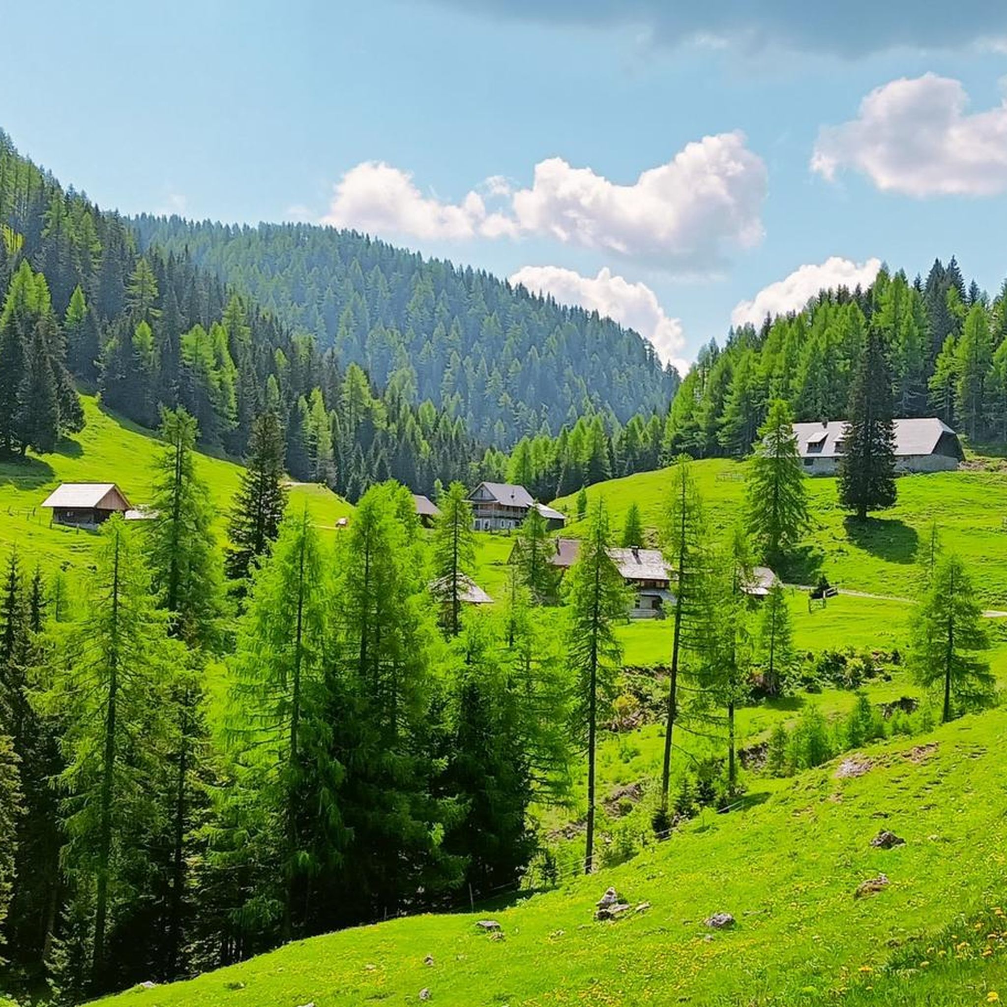
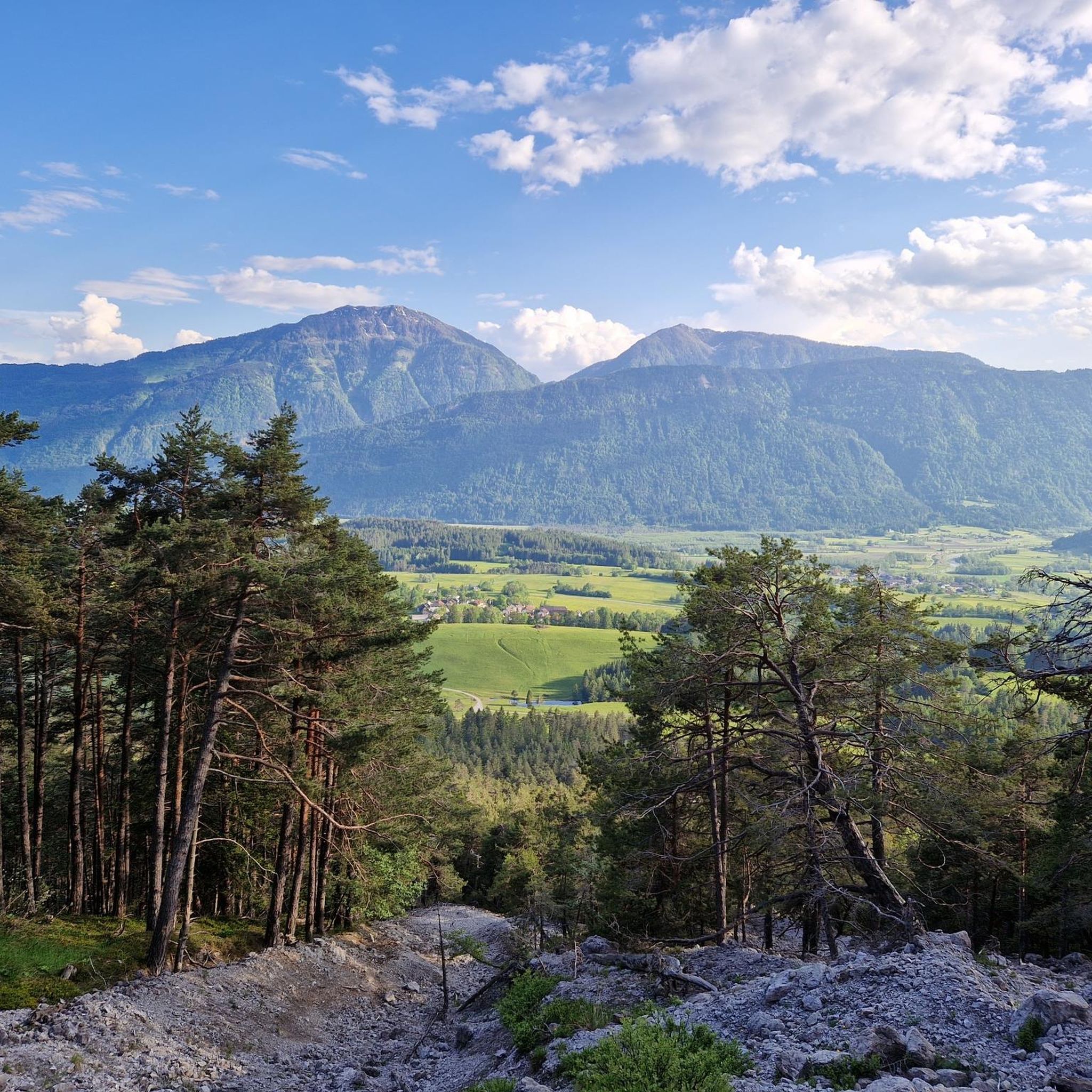
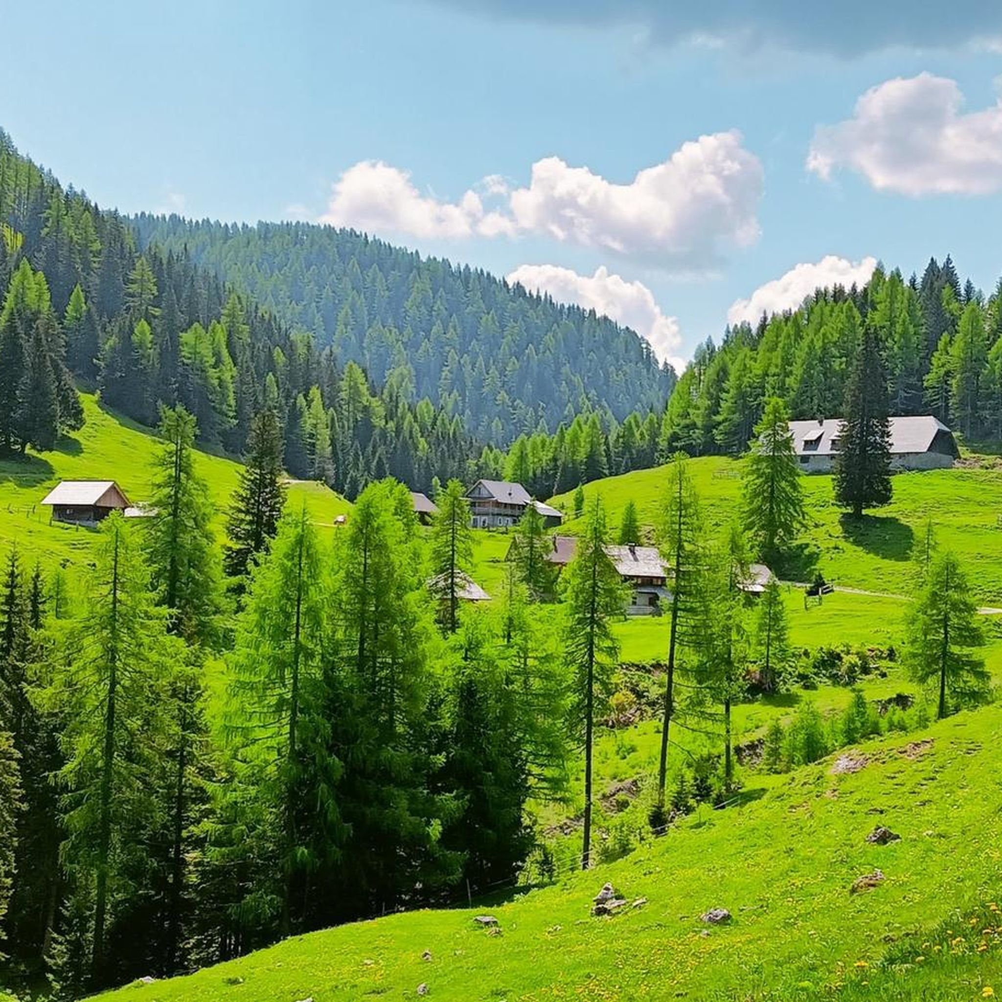
Hiking trails around Sankt Stefan im Gailtal are set within the Gailtal valley, nestled between the Carnic and Gailtal Alps. The region features diverse landscapes, including lush meadows, dense forests, and rugged mountain peaks like the Oisternig. Hikers can explore alpine scenery and panoramic views, with the Gail river offering gentler paths.
Best hiking trails around Sankt Stefan im Gailtal
- The most popular hiking route is Oisternig Loop from Feistritzer Alm, a 4.7 miles (7.5 km) trail that takes 2 hours 51 minutes to complete. This moderate route offers views towards the Oisternig peak and passes through alpine pastures.
- Another top favourite among local hikers is Carnic High Trail 403, a difficult 9.6 miles (15.5 km) path. This trail features challenging sections and alpine terrain along the Carnic Alps.
- Local hikers also love the Dolinza Alm border walk (via Wanderweg 479), a 3.9 miles (6.2 km) trail leading through alpine meadows and forests, often completed in about 2 hours 14 minutes.
- Hiking around Sankt Stefan im Gailtal is defined by alpine scenery, dense forests, and the Gailtal valley. The network offers options for easy family-friendly walks, moderate routes, and challenging mountain ascents.
- The routes in Sankt Stefan im Gailtal are highly rated by the komoot community with an average score of 4.5 stars from over 1500 reviews. More than 9000 hikers have used komoot to explore Sankt Stefan im Gailtal's varied terrain.
Last updated: July 7, 2026
4.9
(7)
34
hikers
7.51km
02:52
530m
520m
Moderate hike. Good fitness required. Easily-accessible paths. Suitable for all skill levels.
4.3
(6)
14
hikers
15.5km
05:48
1,040m
1,040m
Hard hike. Very good fitness required. Easily-accessible paths. Suitable for all skill levels.

Sign up for free
3.0
(1)
7
hikers
6.21km
02:14
380m
380m
Moderate hike. Good fitness required. Easily-accessible paths. Suitable for all skill levels.
4.8
(61)
321
hikers
15.1km
05:35
770m
770m
Hard hike. Very good fitness required. Mostly accessible paths. Sure-footedness required.
4.8
(22)
167
hikers
7.97km
04:12
710m
710m
Moderate hike. Good fitness required. Mostly accessible paths. Sure-footedness required.
Get access to more routes and recommendations from other explorers.
Sign up for free
Already have an account?
Our route recommendations are based on thousands of hikes, rides, and runs completed by other people on komoot.
Start today with a free account
Your next adventure awaits.
Login or Signup
Popular around Sankt Stefan im Gailtal
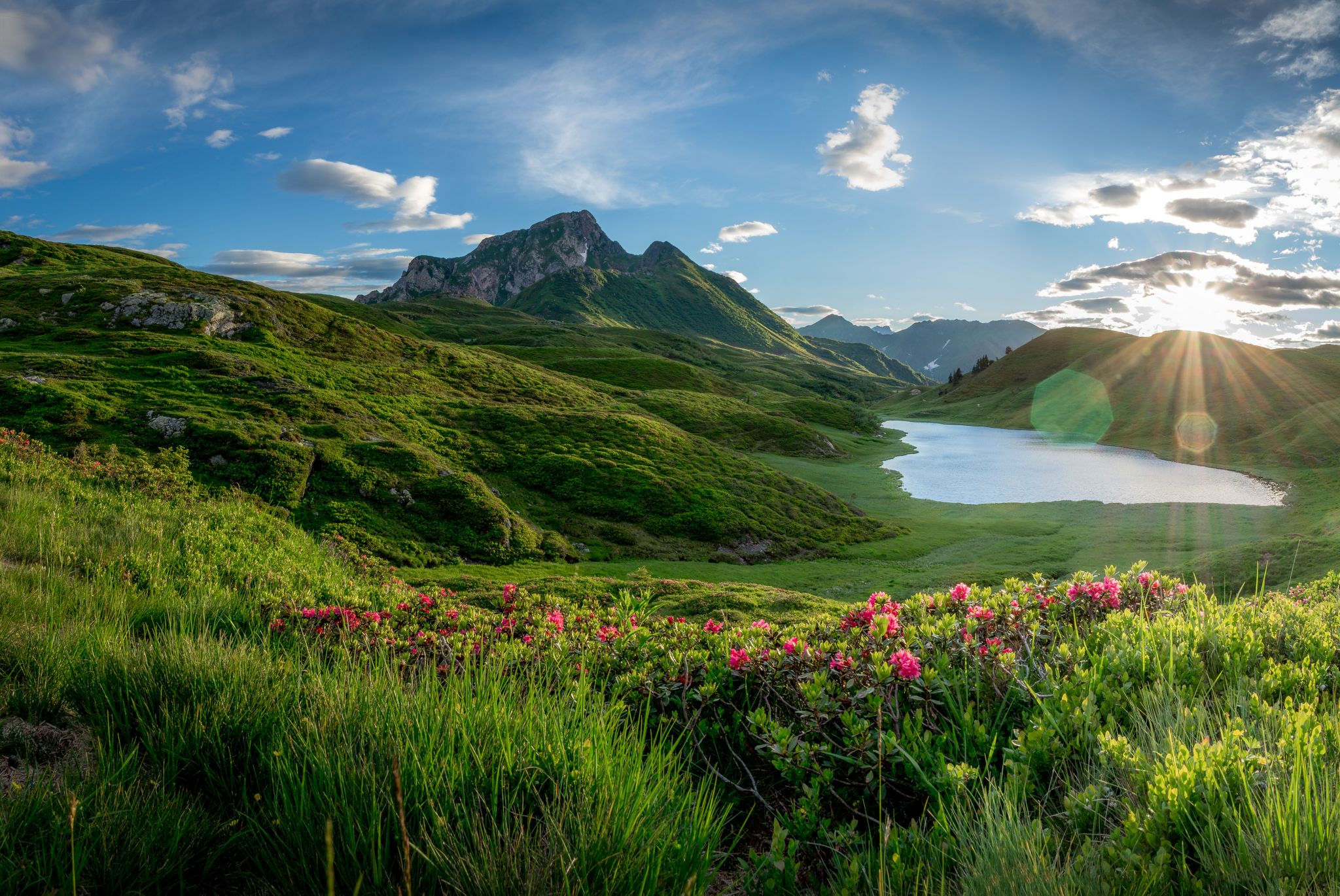
Southern Alpine Trail – Styrian vineyards and the Carnic Alps in Austria
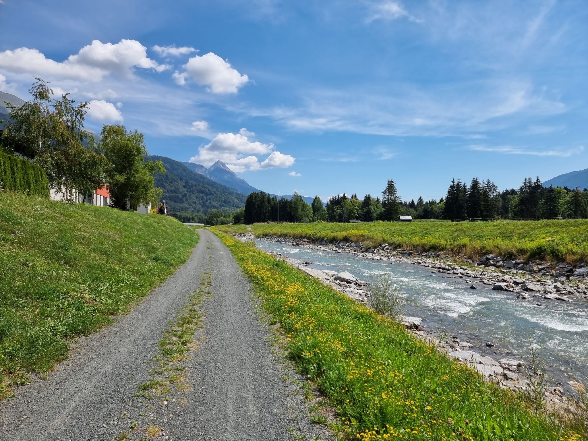
Discover Carinthia in two days on the Gailtal Cycle Path
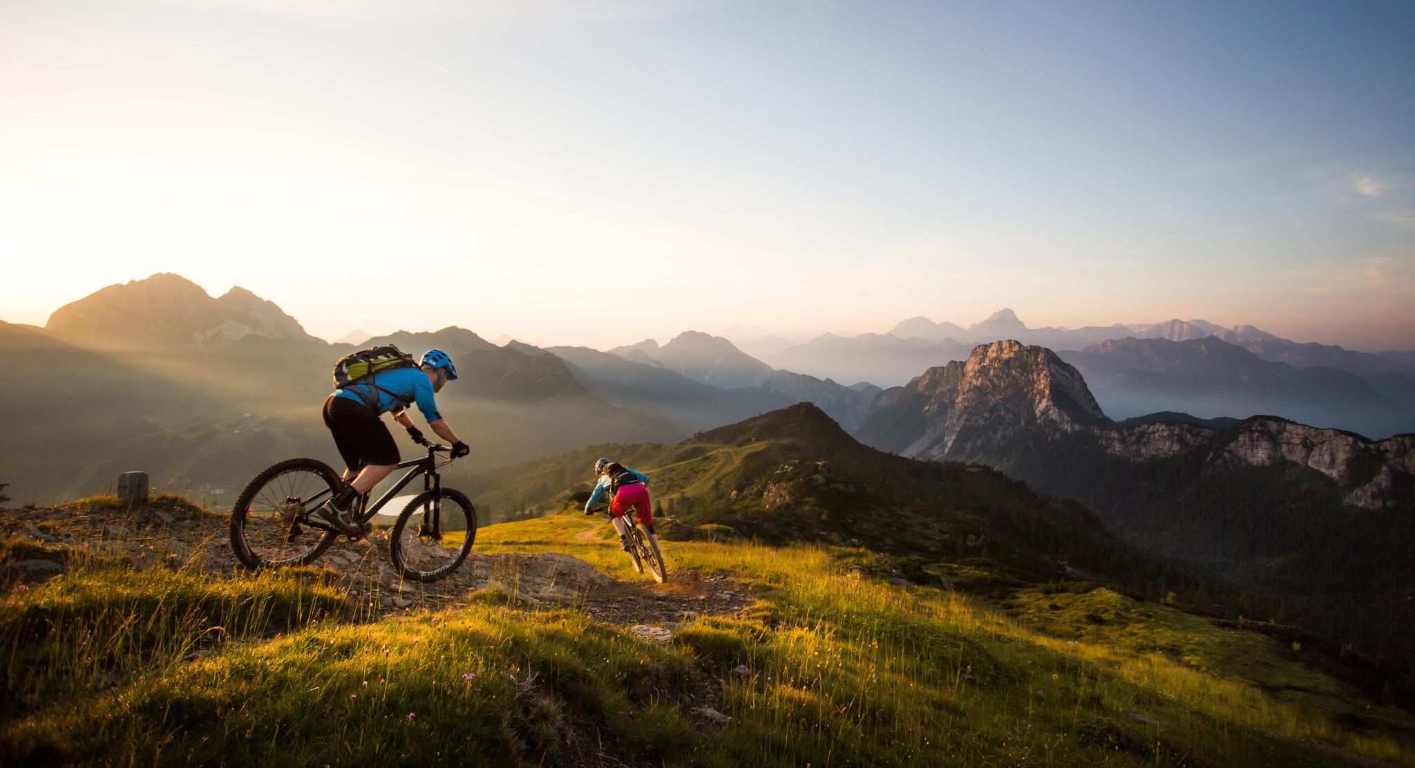
BIKEworld of Mountains & Lakes in Nassfeld-Pressegger Lake
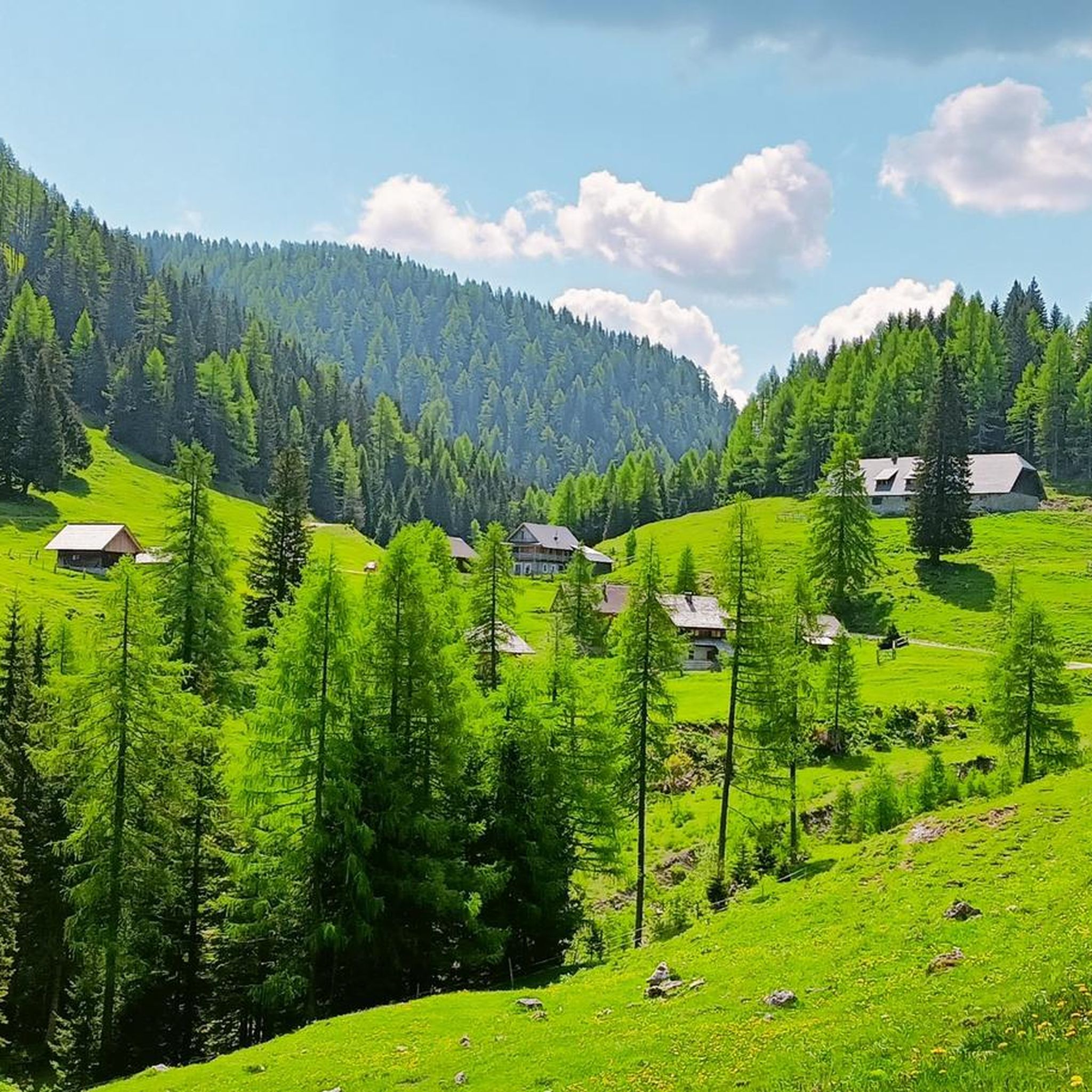
Road Cycling Routes around Sankt Stefan im Gailtal
Cycling around Sankt Stefan im Gailtal
Running Trails around Sankt Stefan im Gailtal
MTB Trails around Sankt Stefan im Gailtal
Mountain Hikes around Sankt Stefan im Gailtal

Gravel biking around Sankt Stefan im Gailtal
Other adventures around Sankt Stefan im Gailtal


Tips from the Community

The Carnic High Trail begins from the forest road. However, the trail is heavily overgrown and poorly signposted, so caution and good orientation are advised!
0
0

...even if there is a prohibition sign here, this is the entrance! 🥾
3
0
...from the Tschekelnock you have a beautiful view when the visibility is good! 👀
3
1
…a beautiful hiking area with a great view 👀
1
0

Very beautiful natural lake on the Eggeralm. Really big after the snow melts, but it gets a little smaller over the course of the summer.
0
0

The Dellacher Alm is a particularly beautiful retreat for anyone who wants to escape from everyday life and recharge their batteries offline in the middle of the mountains. Nature alone provides entertainment. In the Pipp family's alpine inn, guests are pampered with regional specialties.
0
0
Frequently Asked Questions
How many hiking trails are available in Sankt Stefan im Gailtal?
Sankt Stefan im Gailtal offers a diverse network of over 28 hiking trails. These range from easy walks along the Gail river to challenging mountain ascents in the Carnic and Gailtal Alps.
What types of hiking difficulties can I expect in Sankt Stefan im Gailtal?
The region caters to all skill levels. There are 4 easy routes, 12 moderate routes, and 12 difficult routes. You can find gentle paths for leisurely strolls, moderate trails through alpine pastures, and demanding ascents to peaks like Oisternig.
Are there any family-friendly hiking options in Sankt Stefan im Gailtal?
Yes, Sankt Stefan im Gailtal provides several child-friendly hiking trails, particularly along the Gail river. These paths feature minimal elevation changes, making them suitable for families with children.
What natural features or landmarks can I explore while hiking?
Hikers can discover a variety of natural features and historical landmarks. The region is known for its lush meadows, dense forests, and rugged mountain peaks. You can also visit impressive waterfalls like Garnitzen Gorge or Höllgrabenbach Waterfall. Additionally, there are four castles—Graiffenstein, Zossenegg, Bodenhof, and Bichlhof—and historic churches that make for excellent excursion destinations.
What is the best time of year to go hiking in Sankt Stefan im Gailtal?
Sankt Stefan im Gailtal benefits from its location within the Adriatic fine-weather zone, often ensuring favorable conditions. The warmer months are ideal for exploring the diverse landscapes, from lush meadows to mountain peaks. While specific winter hiking trails are not detailed, the region's natural beauty can be enjoyed seasonally.
Are there any circular hiking routes available?
Yes, there are several circular routes. A popular option is the Oisternig Loop from Feistritzer Alm, which is a moderate trail offering views towards the Oisternig peak. Another challenging circular route is the Lake Egger Alm – Poludnig Summit loop from Latschacher Alm.
What do other hikers say about the trails in Sankt Stefan im Gailtal?
The hiking routes in Sankt Stefan im Gailtal are highly rated by the komoot community, with an average score of 4.5 stars from over 1500 reviews. Hikers often praise the diverse alpine scenery, dense forests, and the variety of trails available for all experience levels.
Can I bring my dog on the hiking trails?
While specific dog-friendly trails are not explicitly listed, many natural areas in Austria generally welcome dogs on a leash. It's always recommended to check local regulations or specific trail guidelines before heading out with your pet.
Are there any long-distance or challenging hikes in the area?
For experienced hikers, challenging routes include parts of the Carnic High Trail 403, which features demanding sections and alpine terrain. The route to Poludnig summit and the climb to Graslitzen (2044 m) are also noted for their rewarding views after a long ascent.
Are there opportunities to see alpine pastures?
Yes, many routes in Sankt Stefan im Gailtal feature beautiful alpine pastures. The Dolinza Alm border walk (via Wanderweg 479) is a popular trail leading through alpine meadows and forests. The Dellacher Alm, Dolinza Alm, and Werbutz Alm are also mentioned as accessible and picturesque alpine areas.
What are some starting points for hikes in the region?
The Windische Höhe Pass serves as a starting point for hikes to Tschekelnock and Kobesnock. Many trails also begin from various points within the Gailtal valley, offering convenient access to the diverse landscapes.
Where can I find more information about Sankt Stefan im Gailtal?
For additional information about the region, including general tourism details, you can visit the official tourism website: visitcarinthia.at.
Most popular routes around Sankt Stefan im Gailtal
Most popular attractions around Sankt Stefan im Gailtal

Get inspired with the komoot mobile app


Explore more
Browse the best Hikes in other regions.
