The best mountain hikes around Sankt Stefan im Gailtal
4.8
(31)
381
hikers
23
hikes
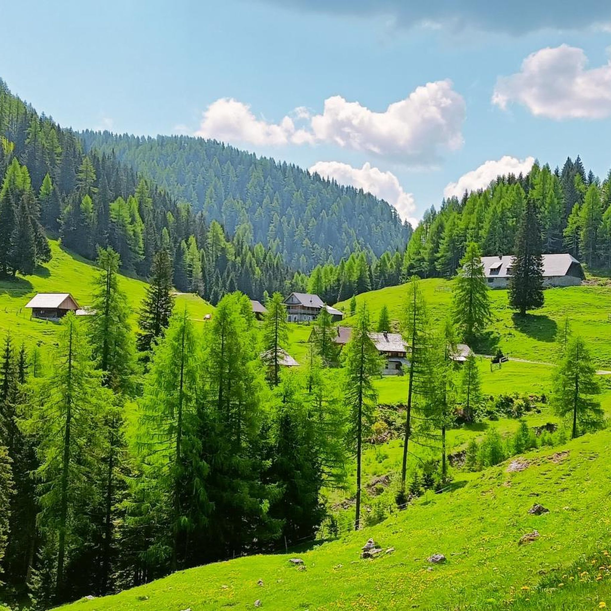
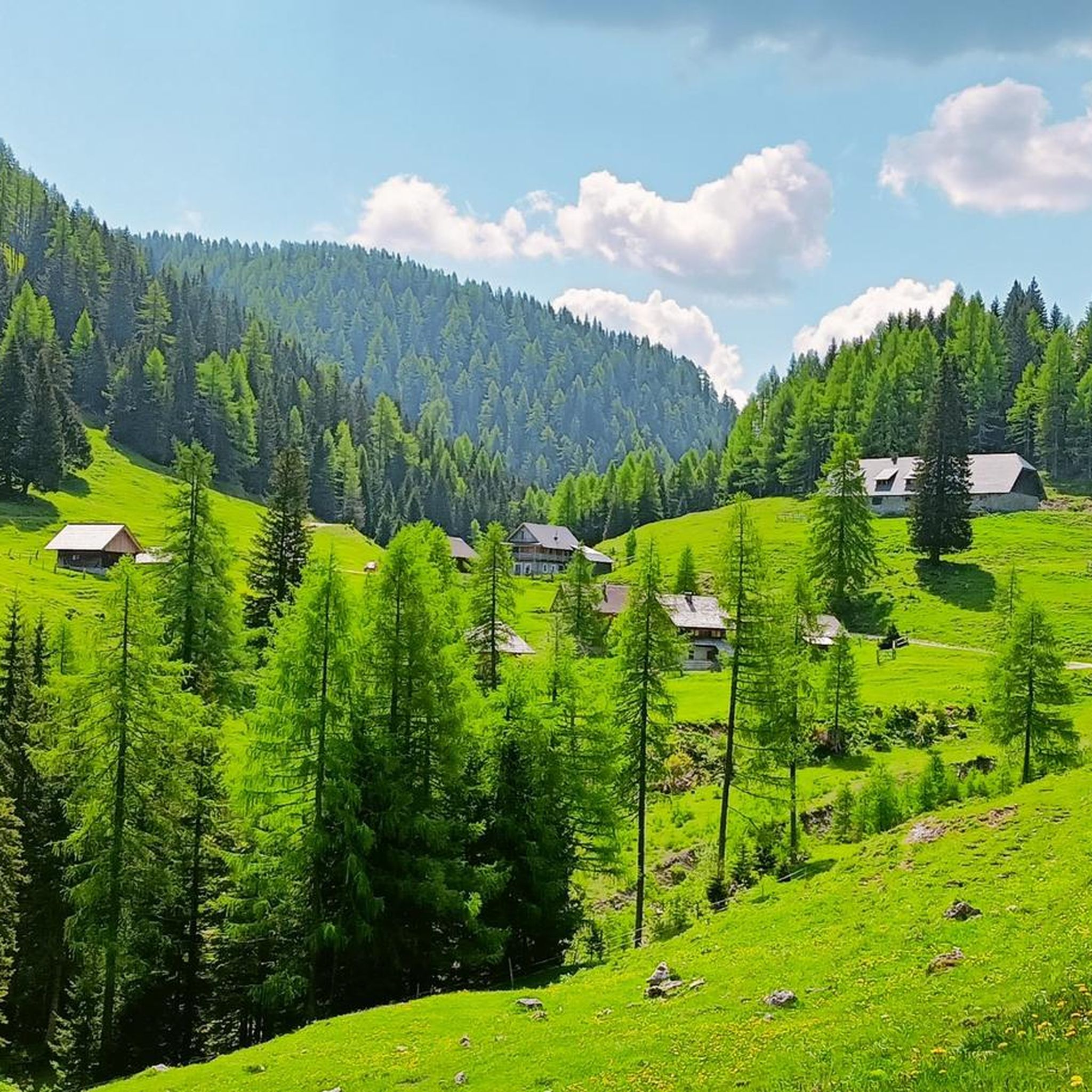
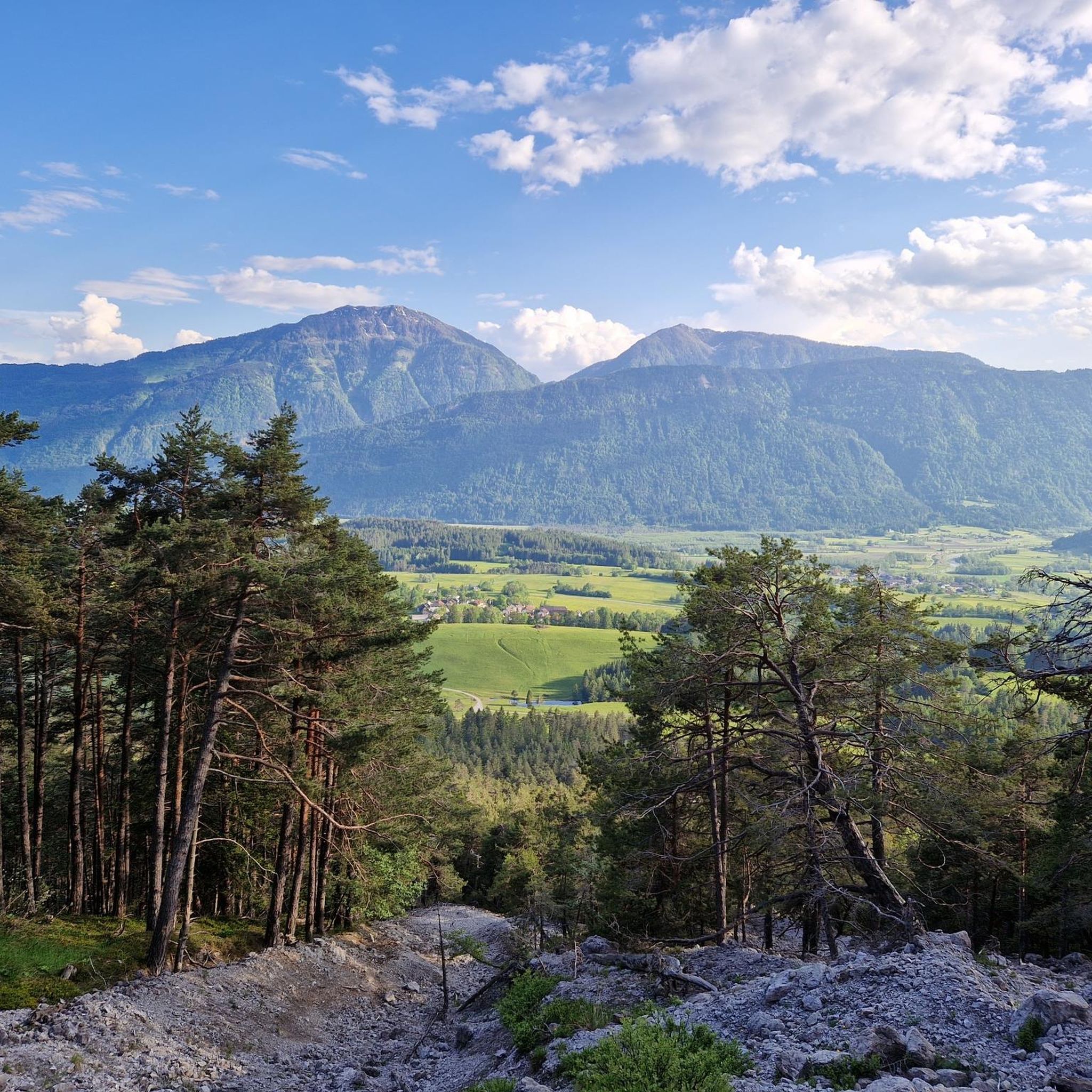
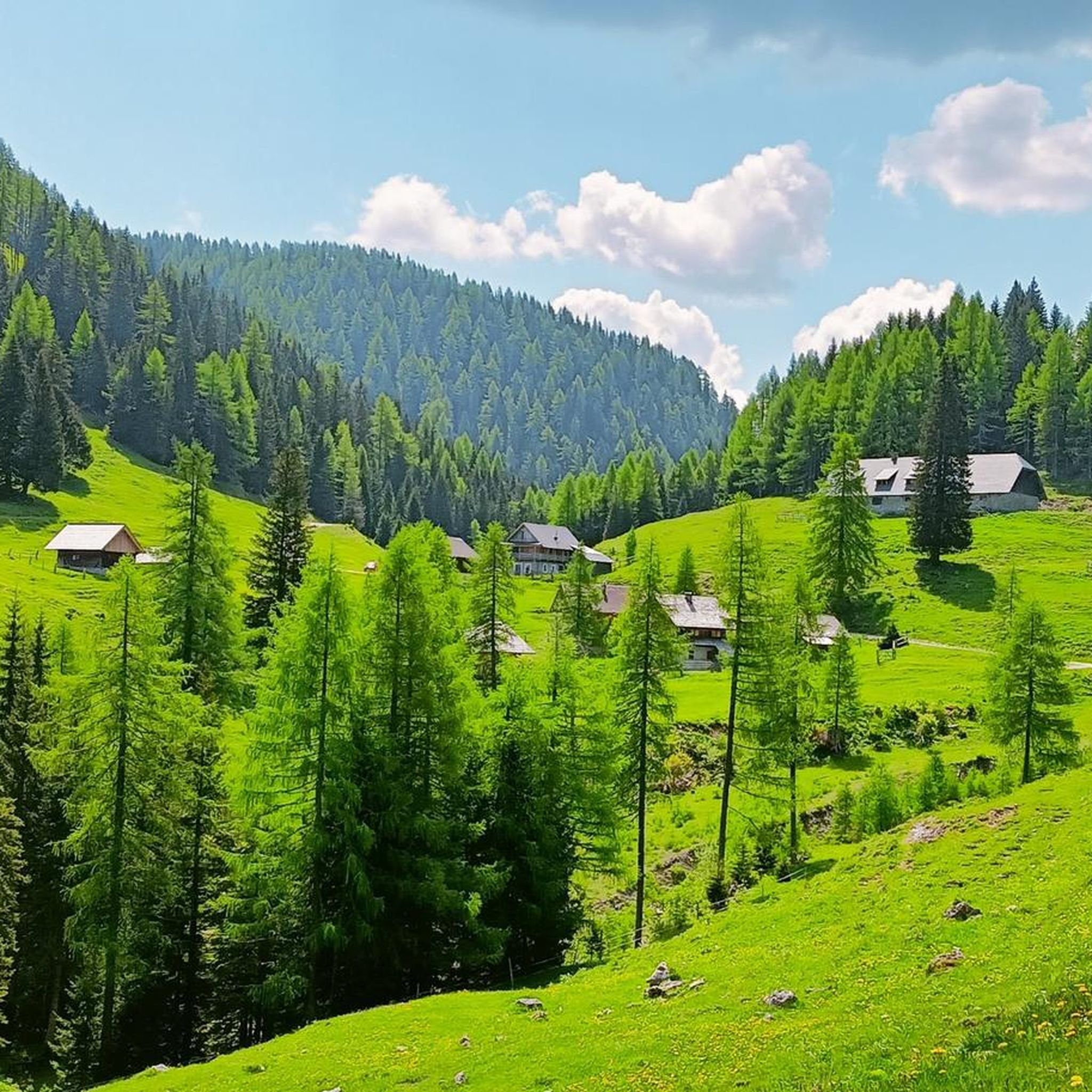
Mountaineering routes around Sankt Stefan im Gailtal are situated in the Gailtal Alps, characterized by prominent peaks, deep valleys, and extensive forests. The terrain offers a mix of challenging ascents and alpine traverses. This region in Carinthia, Austria, features diverse landscapes, from high-altitude pastures to rocky summits. The area provides varied elevation profiles suitable for different mountaineering experiences.
Best mountaineering routes around Sankt Stefan im Gailtal
- The most popular mountaineering route is Madonna della Neve Chapel – Freistritzer Alm loop…
Last updated: July 6, 2026
5.0
(3)
27
hikers
10.1km
04:04
600m
600m
Moderate mountaineering route. Good fitness required. Mostly accessible paths. Sure-footedness required.
17
hikers
11.0km
05:57
900m
910m
Hard mountaineering route. Very good fitness required. Sure-footedness, sturdy shoes and alpine experience required.

Sign up for free
9
hikers
Moderate mountaineering route. Good fitness required. Mostly accessible paths. Sure-footedness required.
5.0
(2)
11
hikers
12.4km
07:44
1,410m
1,410m
Hard mountaineering route. Very good fitness required. Sure-footedness, sturdy shoes and alpine experience required.
5.0
(2)
11
hikers
12.6km
04:38
660m
660m
Hard mountaineering route. Good fitness required. Sure-footedness, sturdy shoes and alpine experience required.
Get access to more routes and recommendations from other explorers.
Sign up for free
Already have an account?
Our route recommendations are based on thousands of hikes, rides, and runs completed by other people on komoot.
Start today with a free account
Your next adventure awaits.
Login or Signup
Popular around Sankt Stefan im Gailtal
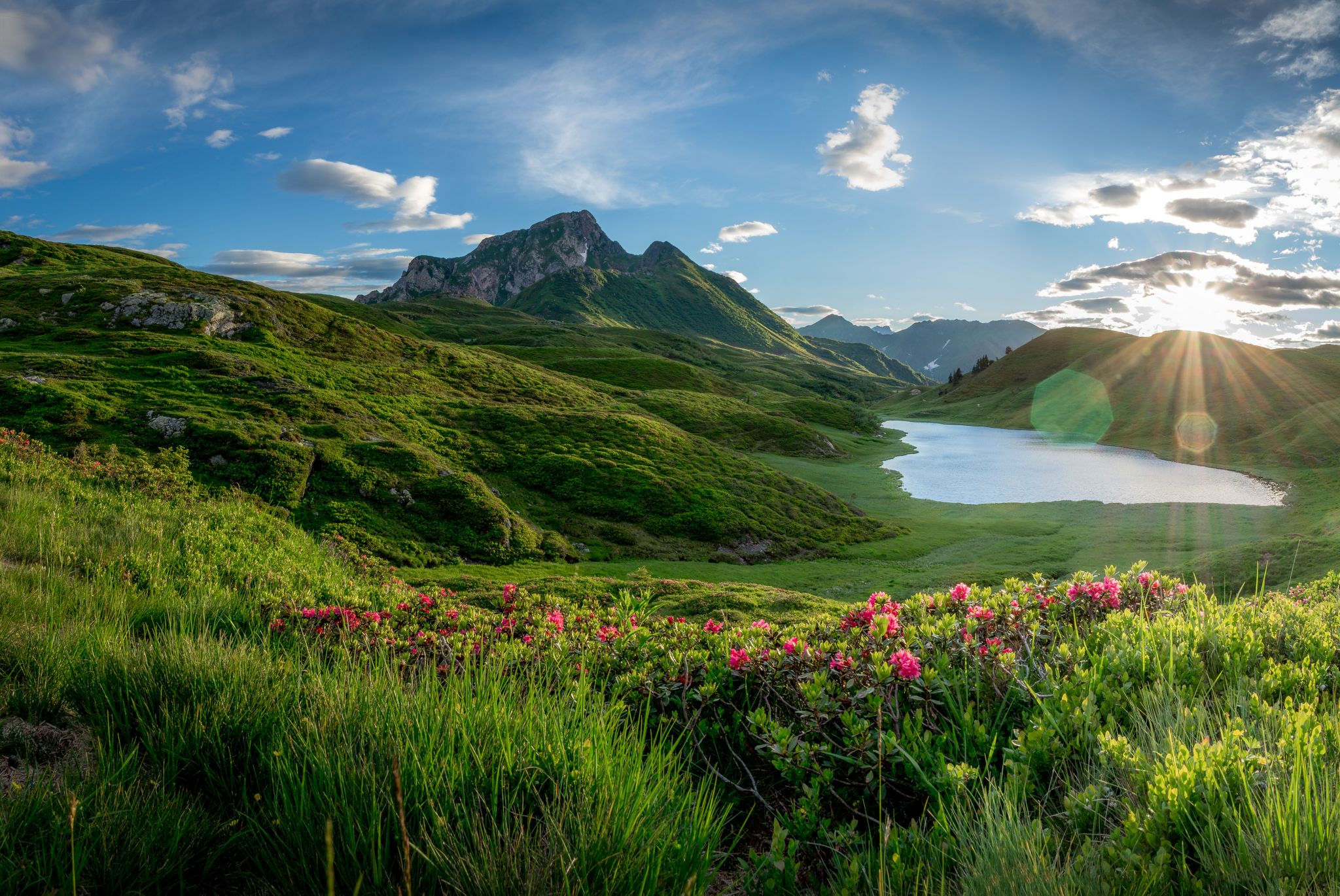
Southern Alpine Trail – Styrian vineyards and the Carnic Alps in Austria
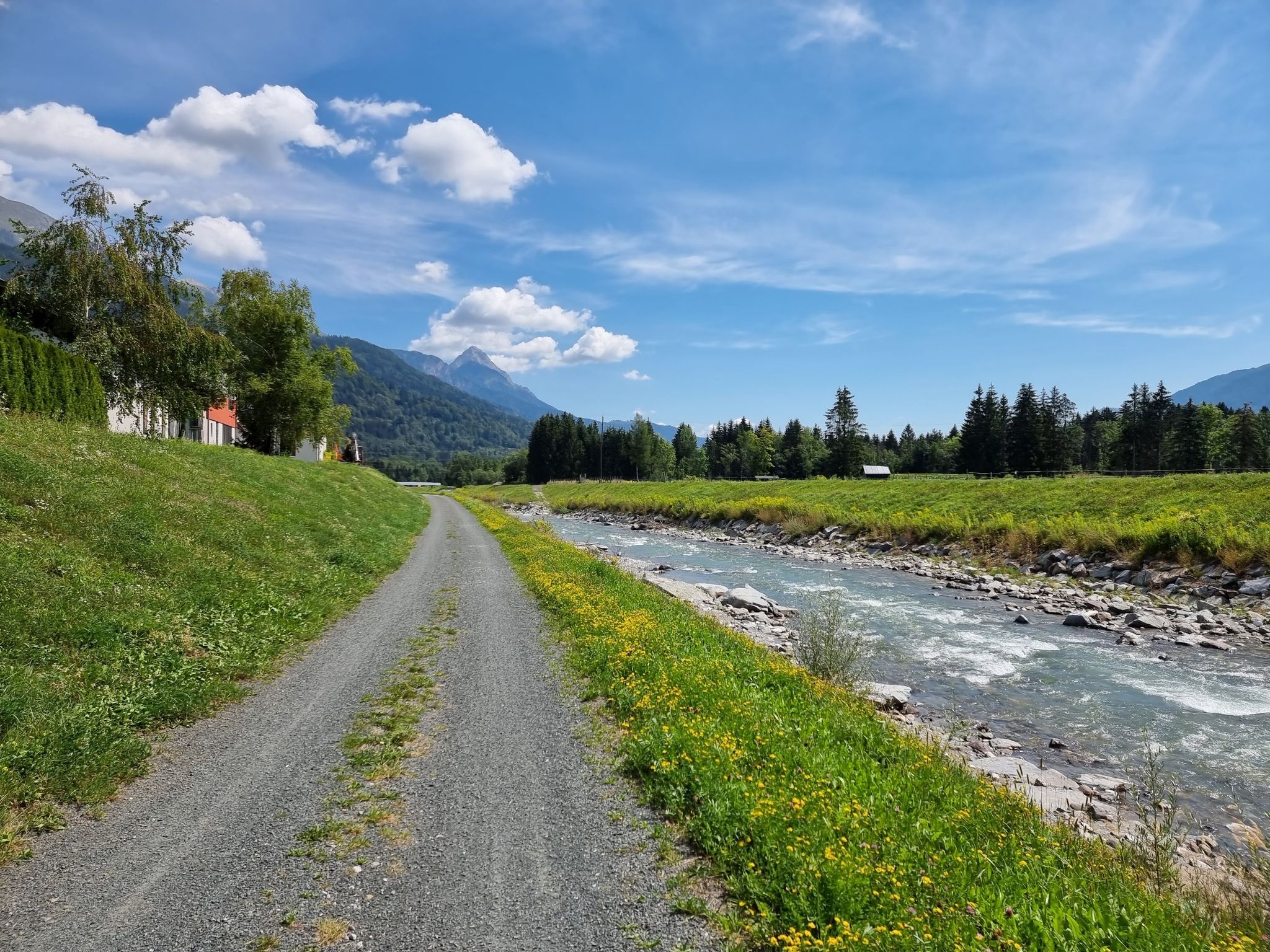
Discover Carinthia in two days on the Gailtal Cycle Path
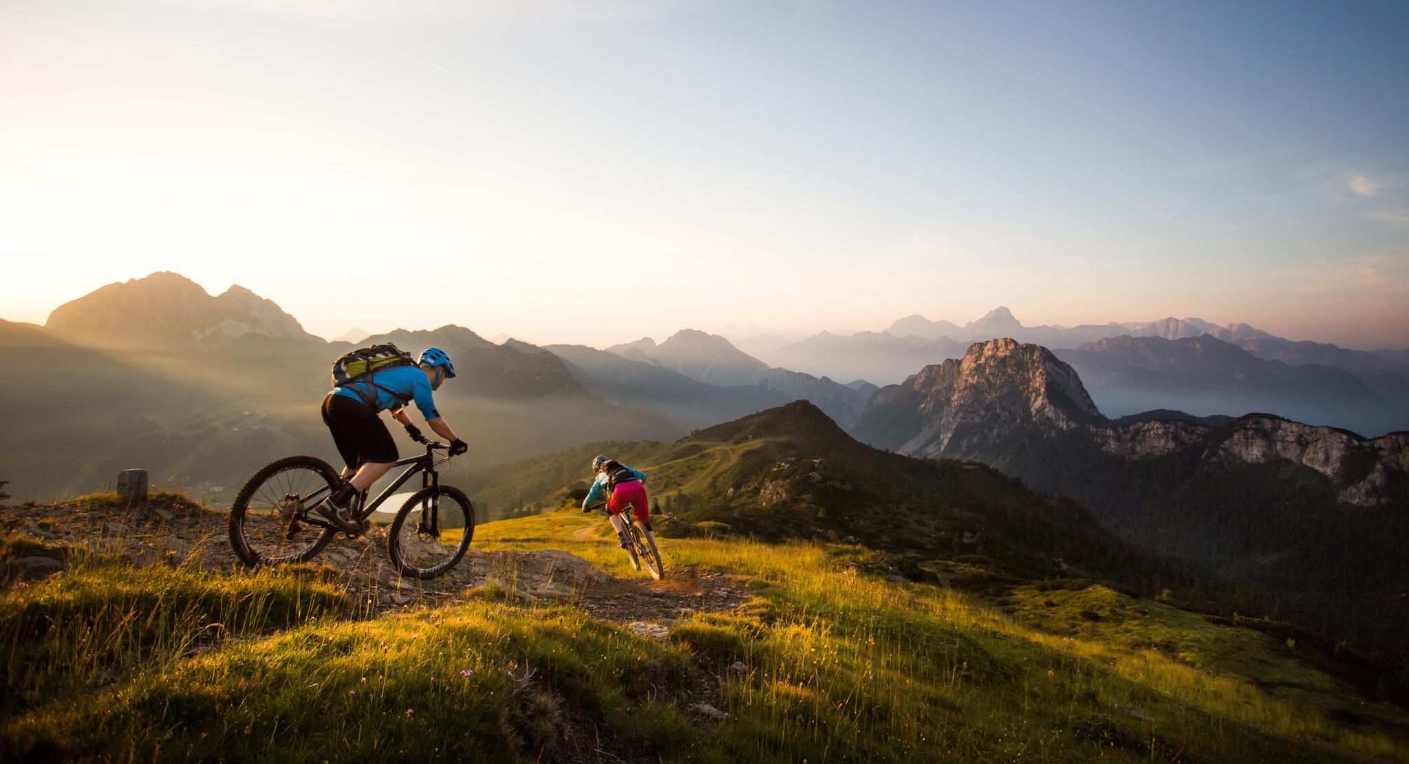
BIKEworld of Mountains & Lakes in Nassfeld-Pressegger Lake
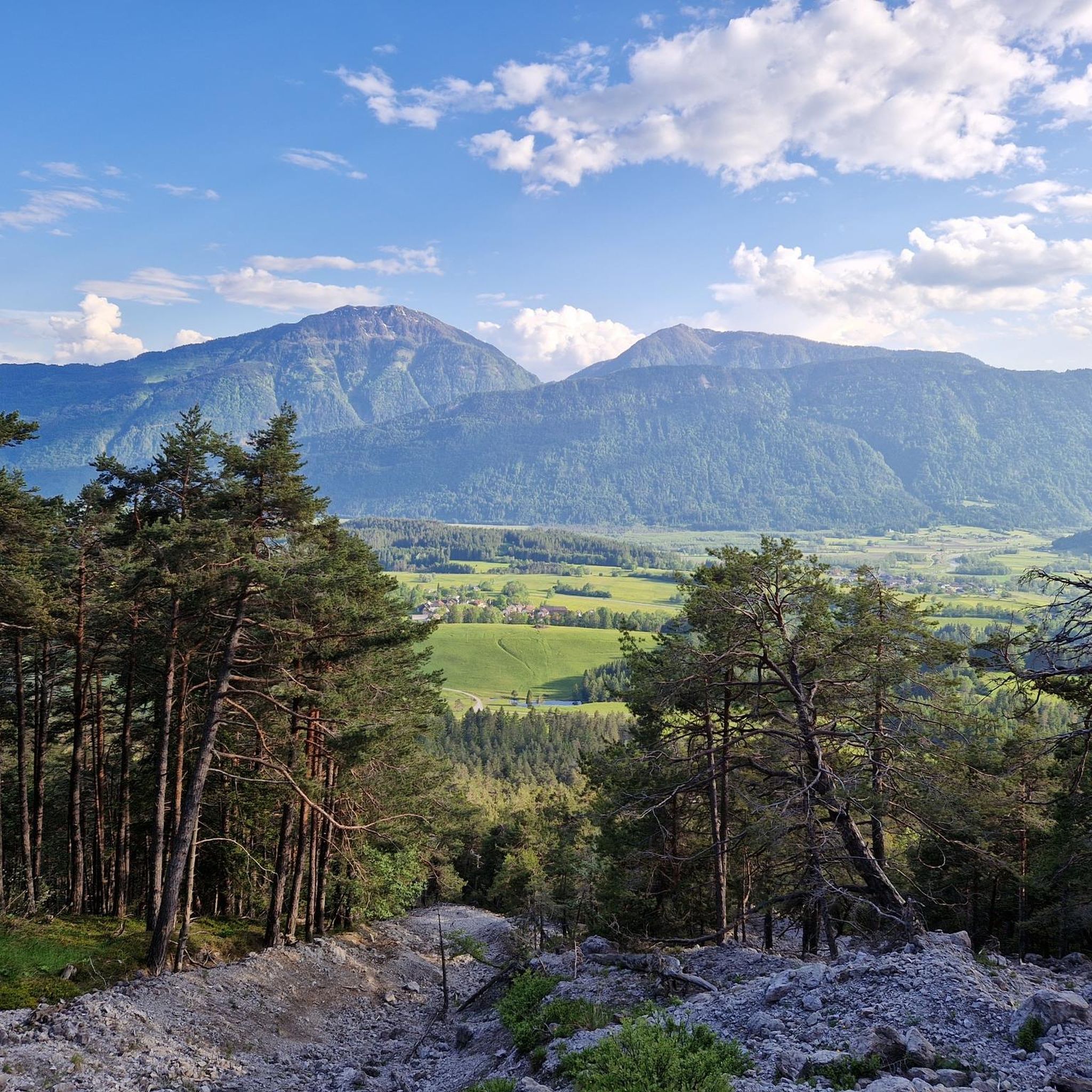
Hiking around Sankt Stefan im Gailtal
Road Cycling Routes around Sankt Stefan im Gailtal
Cycling around Sankt Stefan im Gailtal
Running Trails around Sankt Stefan im Gailtal
MTB Trails around Sankt Stefan im Gailtal
Gravel biking around Sankt Stefan im Gailtal
Other adventures around Sankt Stefan im Gailtal


Tips from the Community

From the St. Steben mountain church, you enjoy a sensational view over the Gail valley. Two steep mountain paths lead through magnificent mountain forest and make the tour a perfect circular hike starting from the Siebenbrünner pasture.
0
0

Very scenic section with great views
0
0

Very nice to drink and possibly eat (Strudel and Jause). The route from Bleiberg is not very steep, except for two passages, one short and a little further. All along, you have a superb view of Dobratsch, the Bleiberg mine and the Gail valley and as always the mountains in the background. At the end, a little before the mountain pasture, you can also see Lake Pressegger.
1
0

No other state border is more beautiful than here! It doesn't matter whether you hike up or down the Italian border. "The journey is the destination" is absolutely true here.
0
0
Shortly before the summit you will be rewarded with an amazing view. Definitely enjoy!
0
0
A beautiful view in clear or slightly cloudy weather.
0
0
No state border has ever been more beautiful! A lovely place to have a snack, but be careful: Always watch out for the cattle, as they are allowed to roam freely here.
0
0

One of the most beautiful huts on the Carnic High Trail. Delicious food, hospitable, impressive brown bear photos. I felt very comfortable here.
1
0
Frequently Asked Questions
How many mountaineering routes are available around Sankt Stefan im Gailtal?
There are over 25 mountaineering routes around Sankt Stefan im Gailtal, offering a diverse range of experiences from moderate to difficult. The region is known for its prominent peaks, deep valleys, and extensive forests within the Gailtal Alps.
Are there any family-friendly mountaineering options in Sankt Stefan im Gailtal?
For families or those seeking a less strenuous option, the Poludnig Summit (1,999 m) loop from Parkplatz Poludnig Alm is a moderate route that is shorter in distance and elevation gain, making it suitable for a family outing. It offers a taste of the alpine environment without extreme challenges.
What kind of challenges can I expect on the more difficult mountaineering routes?
The more difficult routes in Sankt Stefan im Gailtal, such as the Rest Area – St. Stefan Church loop from Förolach, feature substantial climbs and can take around 7 to 8 hours to complete. These trails often involve significant elevation changes and traverse varied mountain terrain, requiring good physical condition and experience.
Are there any circular mountaineering routes in the area?
Yes, many of the mountaineering routes around Sankt Stefan im Gailtal are circular, allowing you to start and end at the same point. Examples include the popular Madonna della Neve Chapel – Freistritzer Alm loop from 5573 Grotta presso il Rifugio Nordio and the Freistritzer Alm loop from 5573 Grotta presso il Rifugio Nordio.
What are some of the longer mountaineering routes for experienced hikers?
For those looking for longer excursions, the Wertschacher Alm – Kobesnock Summit loop from Windische Höhe covers approximately 12.6 km with significant elevation, offering a challenging and rewarding experience. Another option is the Rest Area – St. Stefan Church loop from Förolach, which is 12.4 km long and features substantial climbs.
What is the best time of year for mountaineering in Sankt Stefan im Gailtal?
The ideal time for mountaineering in Sankt Stefan im Gailtal is typically from late spring to early autumn (May to October). During these months, the weather is generally more stable, and trails are free of snow, making for safer and more enjoyable conditions. Always check local weather forecasts before heading out.
Are there any waterfalls or natural monuments to see along the routes?
Yes, the region boasts several natural attractions. You might encounter the impressive Garnitzen Gorge or the Höllgrabenbach Waterfall. Other notable natural monuments include the Dobratsch Summit and the Church of Maria am Stein, offering stunning views and cultural significance.
What do other mountaineers say about the routes in Sankt Stefan im Gailtal?
The mountaineering routes in Sankt Stefan im Gailtal are highly rated by the komoot community, with an average score of 4.8 stars from around 50 reviews. Mountaineers often praise the diverse landscapes, from high-altitude pastures to rocky summits, and the well-maintained trails that offer both moderate and challenging ascents.
Is parking available at the trailheads?
Many of the starting points for mountaineering routes in Sankt Stefan im Gailtal, such as Parkplatz Poludnig Alm, typically offer designated parking areas. It's always advisable to check the specific route details on komoot for information regarding parking availability at your chosen trailhead.
What essential gear should I bring for mountaineering in this region?
For mountaineering in the Gailtal Alps, essential gear includes sturdy hiking boots, weather-appropriate clothing (layers are key), a backpack with water and snacks, a first-aid kit, a map or GPS device, and sun protection. For more challenging routes, trekking poles can be beneficial.
Can I find refreshments or mountain huts along the trails?
While specific cafes or huts are not listed for every route, alpine regions like Sankt Stefan im Gailtal often have mountain huts (Almhütten) that operate seasonally, offering refreshments and sometimes overnight stays. It's recommended to check the route descriptions or local tourist information for details on available services along your chosen path.
Most popular routes around Sankt Stefan im Gailtal
Most popular attractions around Sankt Stefan im Gailtal

Get inspired with the komoot mobile app


Explore more
Browse the best Mountain Hikes & Routes in other regions.
